Overview
The hot springs that give this Arkansas town its name were the first site ever set aside by the federal government for protection way back in 1832. That was forty years before Yellowstone National Park came into existence, and is the reason Hot Springs National Park was commemorated as the first minted of the America the Beautiful Coin Collection in 2010. It is also the reason that Hot Springs is unlike any other National Park in the system, checking in at only 5,550 acres on either side of a bustling downtown lined with historic bathhouses.
Hot Springs National Park is not one of the 50 covered in great detail in our guidebook to the National Parks (available on Amazon), but as one of the 63 National Parks it is included with a photo.

Highlights
Fordyce Bathhouse, West Mountain Scenic Drive, Goat Rock, Hot Springs Mountain Tower, Balanced Rock
Must-Do Activity
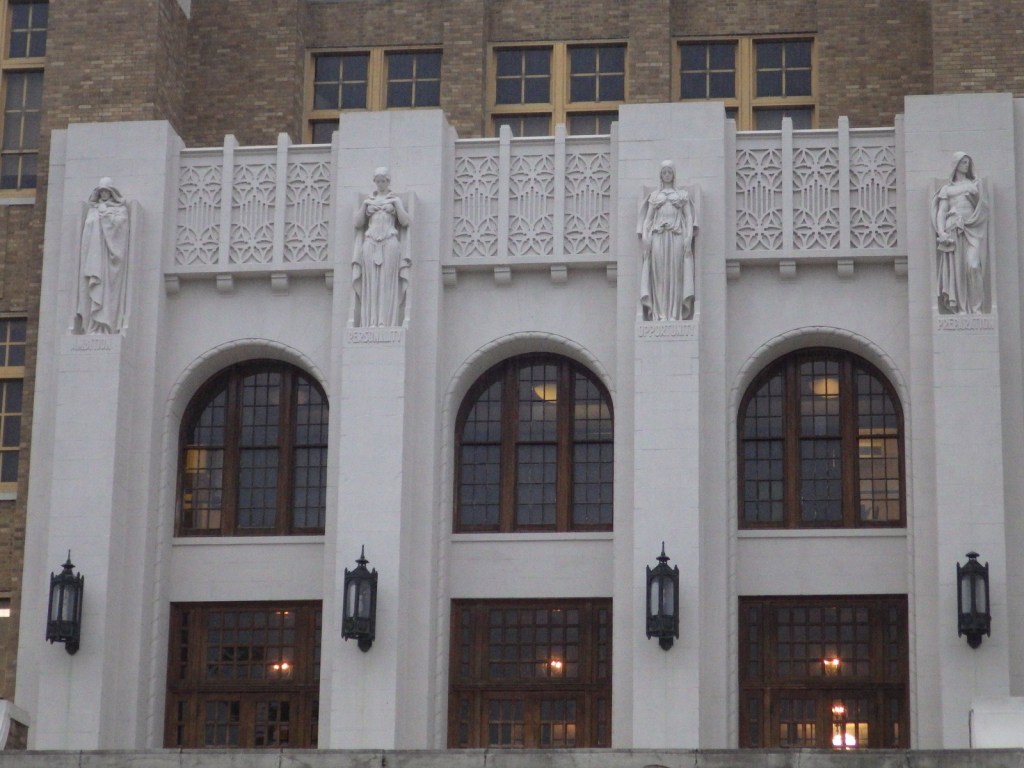
When you visit, it is best to start at the National Park Service (NPS) museum within the former Fordyce Bathhouse, where you will learn that the water is heated not by volcanic activity but by gravitational compression. Whether or not you pay to soak in the non-sulfurous waters at a privately-owned bathhouse, be sure to fill up a bottle at one of several mineral rich drinking fountains around town. Then you too can “quaff the elixir” the same way tourists have been doing here for nearly 200 years.
Best Trail
There are several hiking options in the forested hills around the town, including the 17-mile long Sunset Trail that provides access to Balanced Rock. The Gulpha Gorge Trail leaves from the NPS campground up to vistas at Goat Rock or you can also park at the top of North Mountain and hike down to it on the Goat Rock Trail.
Instagram-worthy Photo
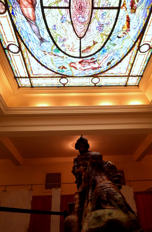
Inside the men’s locker room, a beautiful stained glass ceiling lets in light on the sculpture of Spanish conquistador Hernando de Soto who came to the hot springs in 1541.
Peak Season
Summer
Hours
https://www.nps.gov/hosp/planyourvisit/basicinfo.htm
Fees
None to visit the NPS museum in Fordyce Bathhouse, but there is a charge to climb Hot Springs Mountain Tower or visit one of the privately-owned bathhouses (like Buckstaff Baths or Quapaw Baths and Spa).
Road Conditions
All roads are paved, but there are some tight curves on the scenic drive up Hot Springs Mountain.
Camping
The NPS run Gulpha Gorge Campground offers sites with or without electrical and water hookups.
Related Sites
Chickasaw National Recreation Area (Oklahoma)
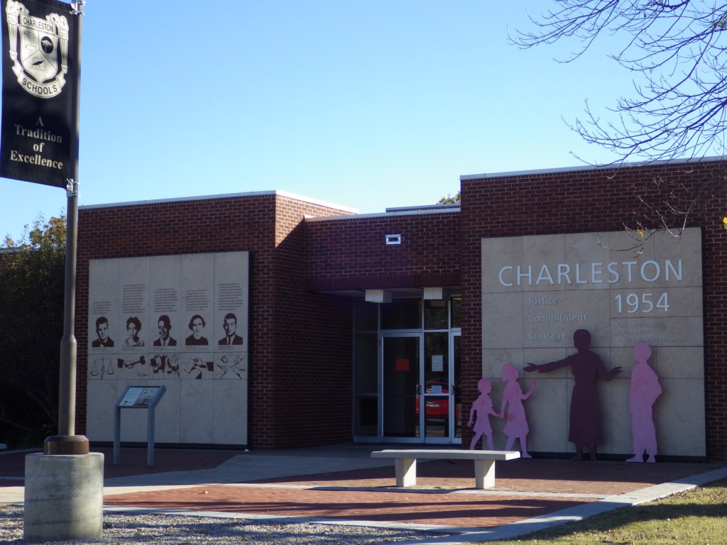
Little Rock Central High School National Historic Site (Arkansas)
Buffalo National River (Arkansas)
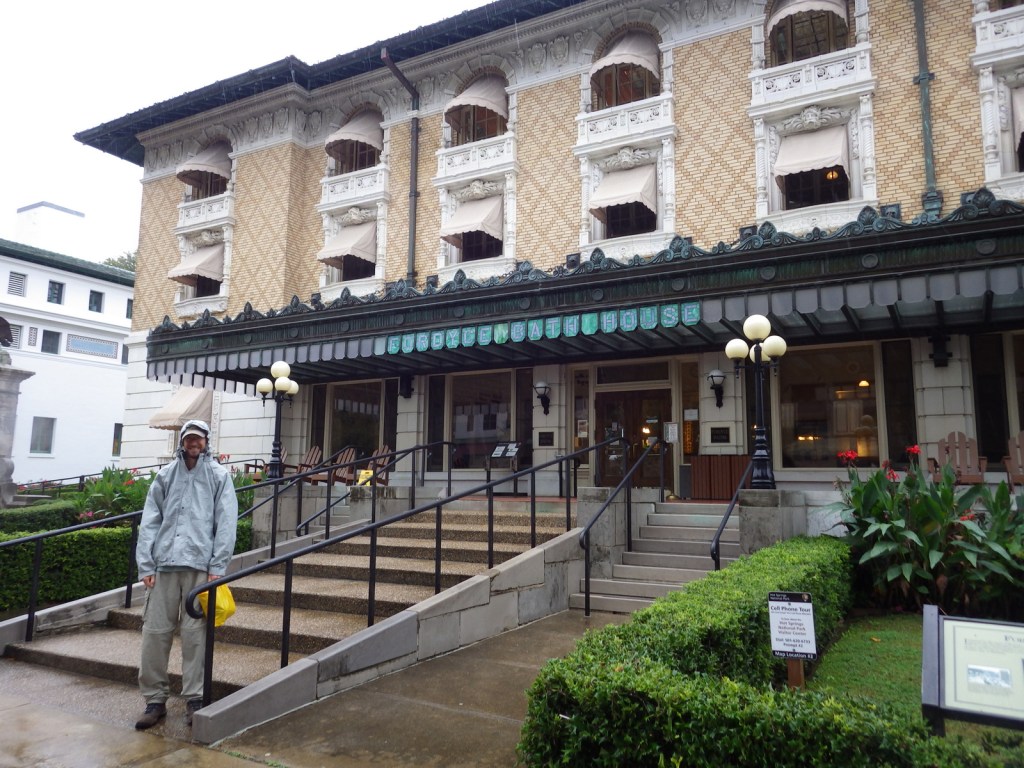
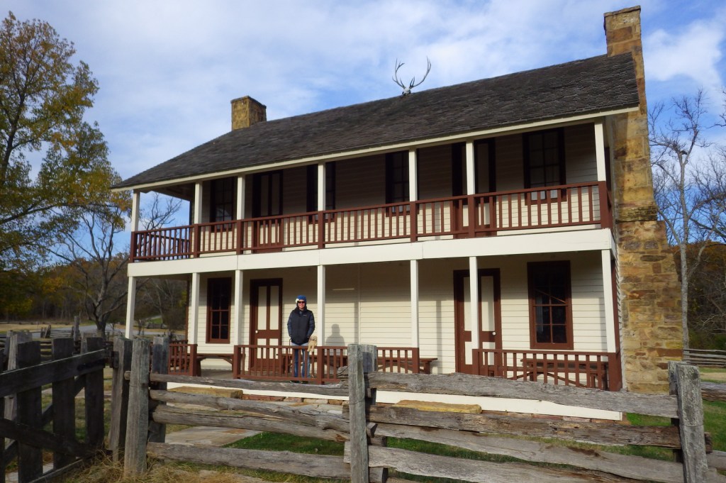
Scott in front of Fordyce Bathhouse 
The stained glass in the men’s area 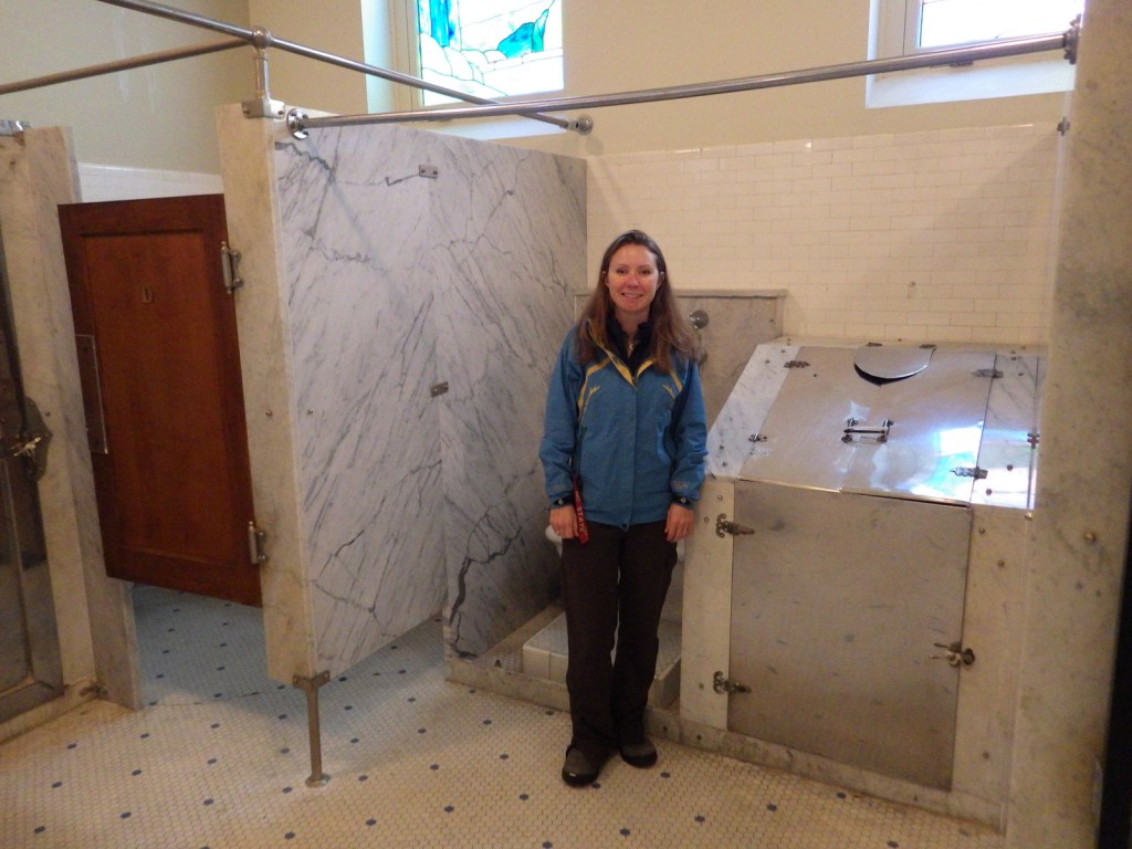
Tiff next to a steam cabinet 
Some old signs 
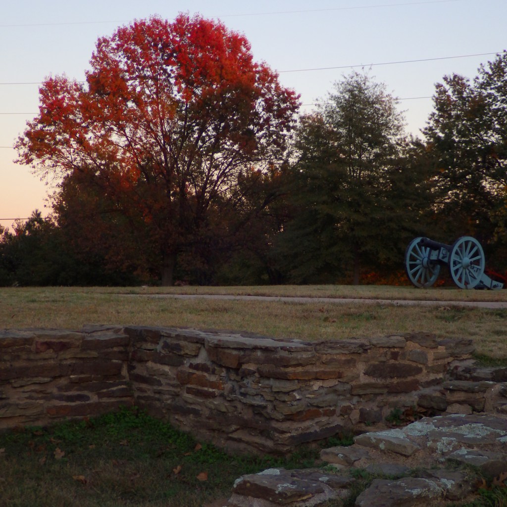
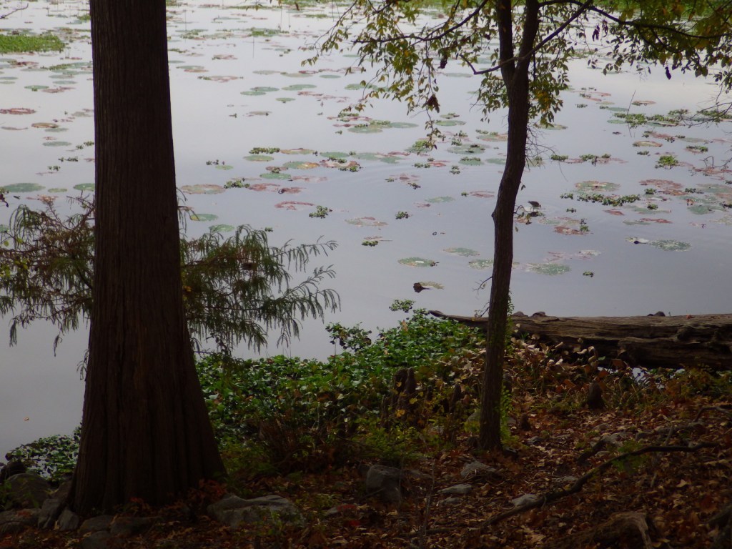
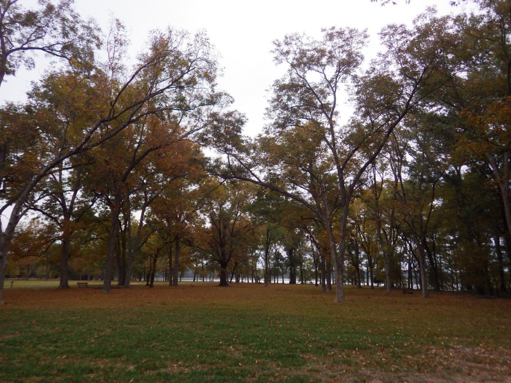
A view of the fall colors in November 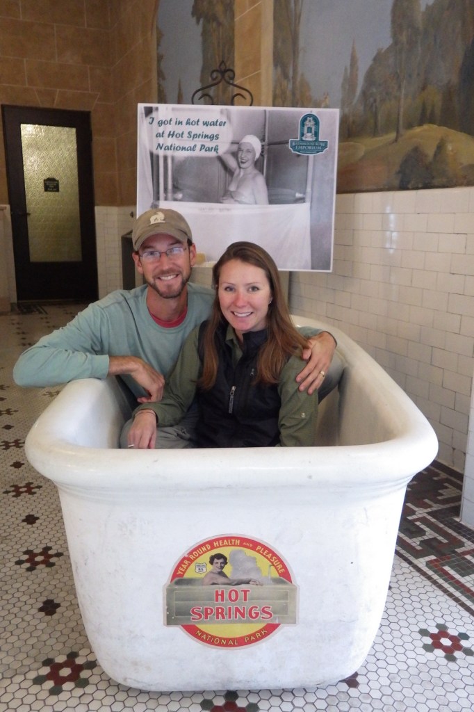
Scott and Tiff inside the NPS bookstore 
Tiff with one of the many springs around town 
Scenic drive 
Tiff on Goat Rock Trail 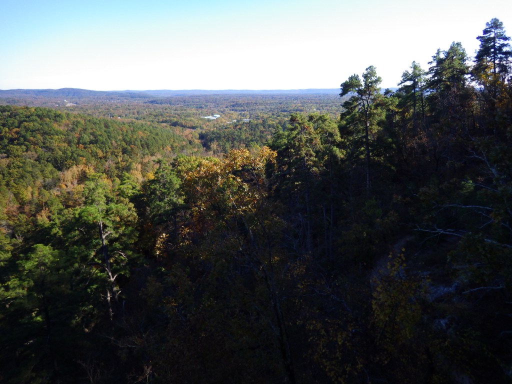
View from Goat Rock 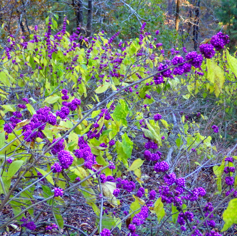
Beautyberry 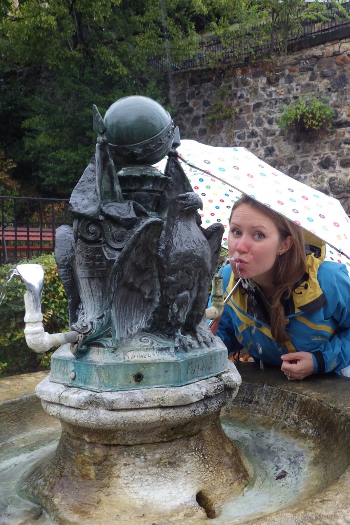
Tiff taking a sip of spring water at a historic drinking fountain 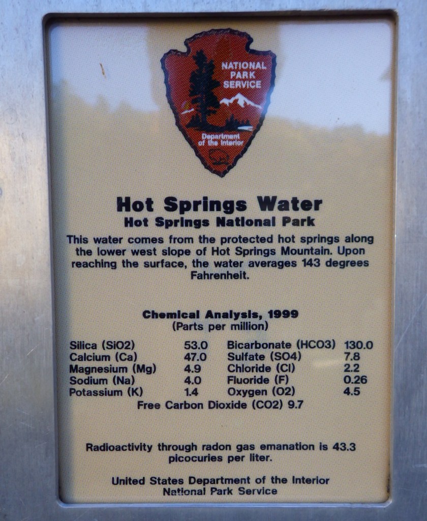
Explore More – In the roaring 1920s, Hot Springs, Arkansas was like the original Las Vegas attracting athletes, politicians, and which famous mobsters?


We are a participant in the Amazon Services LLC Associates Program, an affiliate advertising program designed to provide a means for us to earn fees by linking to Amazon.com and affiliated sites.