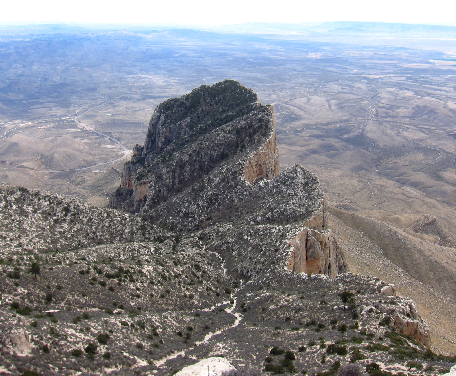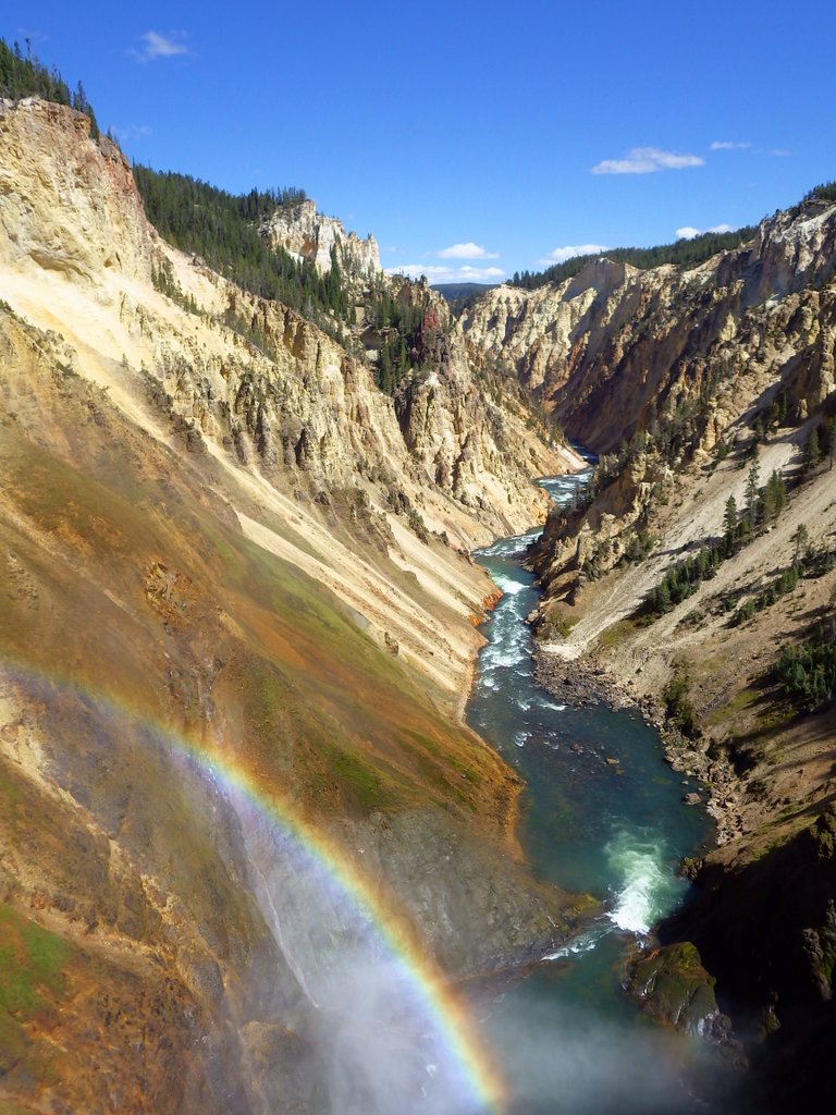
Grand Canyon National Park
Arizona
Managed by National Park Service
Established 1908 National Monument, 1919 National Park
1,217,262 acres
Website: nps.gov/grca
Overview
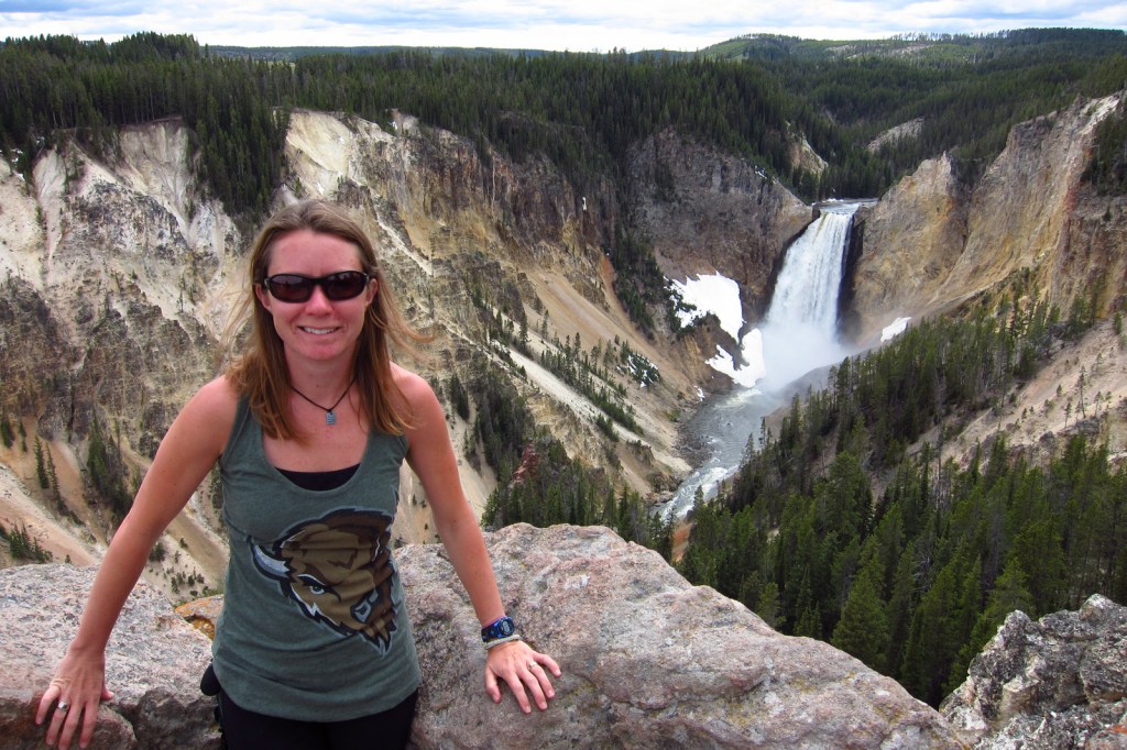
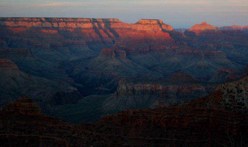
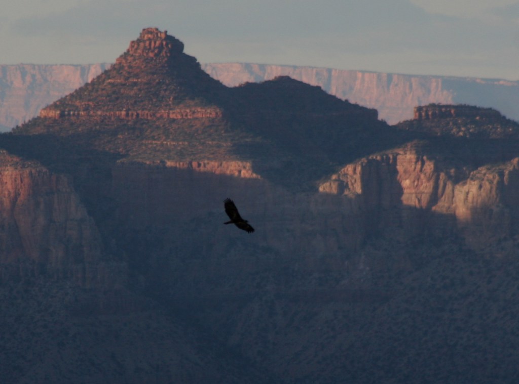
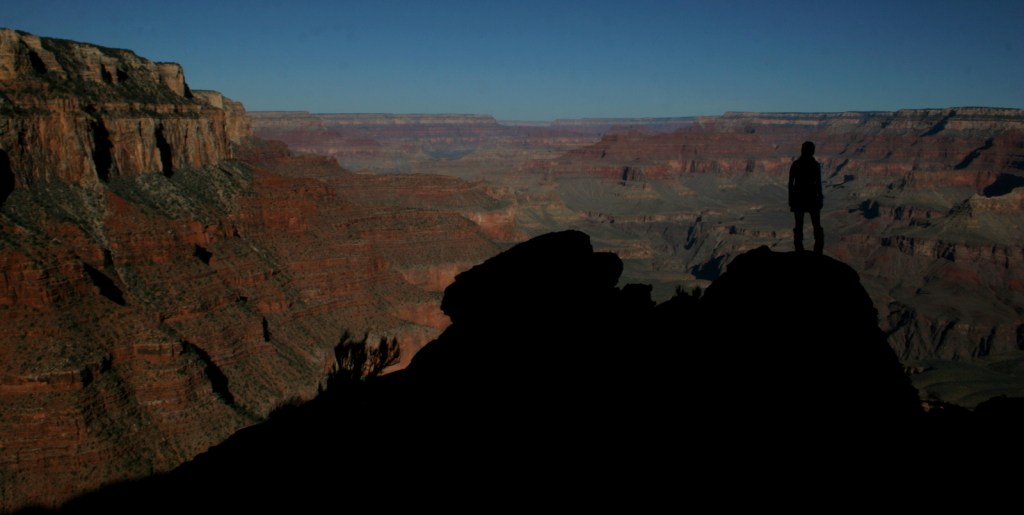
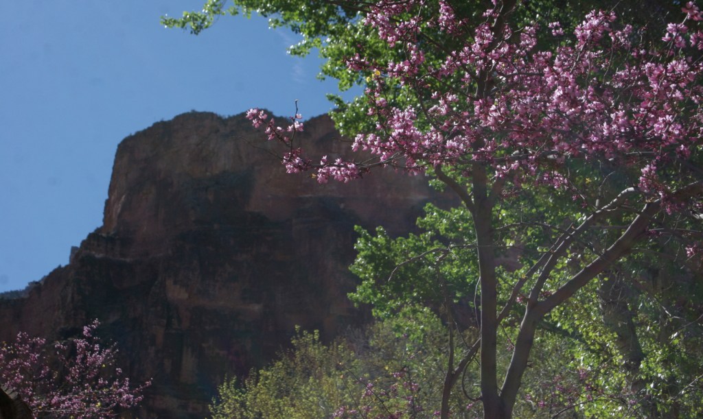
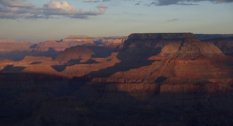
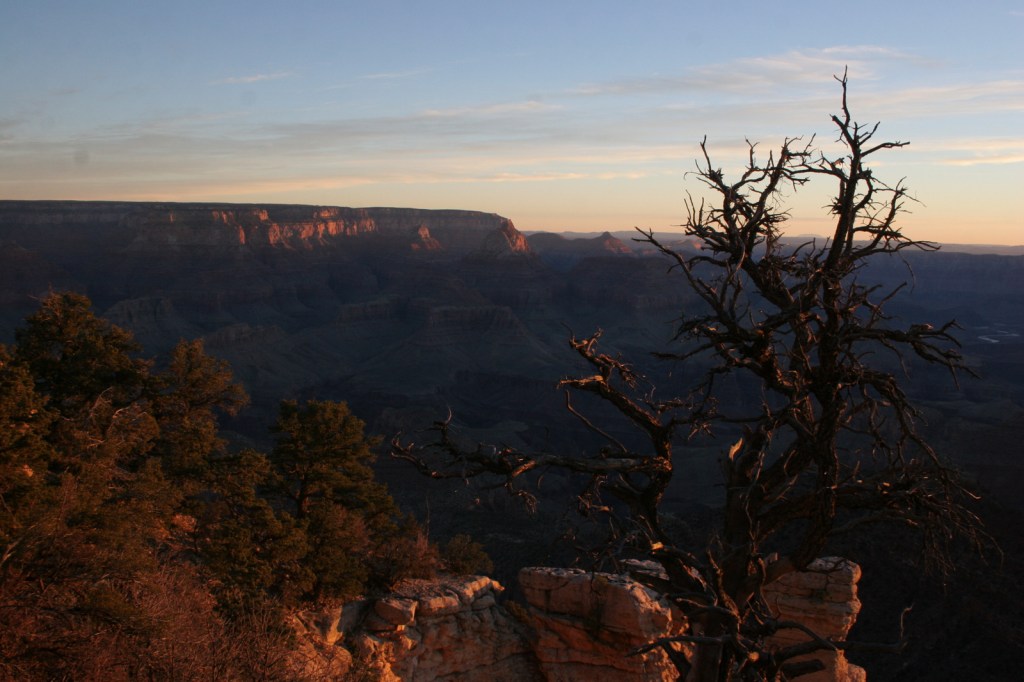
Grand Canyon National Park is generally considered one of the seven natural wonders of the world. Billions of years of geologic history have been laid bare by the cutting power of the Colorado River. It is cliché but true, you simply have to see this icon with your own eyes. It can be overwhelming. So can the crowds on the South Rim, but those tend to thin out if you hike a mile or two down a trail. If you have the time during the summer months, be sure to drive five hours over the forested Kaibab Plateau to reach the North Rim (which is only 10 miles away as the raven flies).
Know someone who loves National Parks? Gift them our travel guide A Park to Yourself: Finding Solitude in America’s 63 National Parks.

Highlights
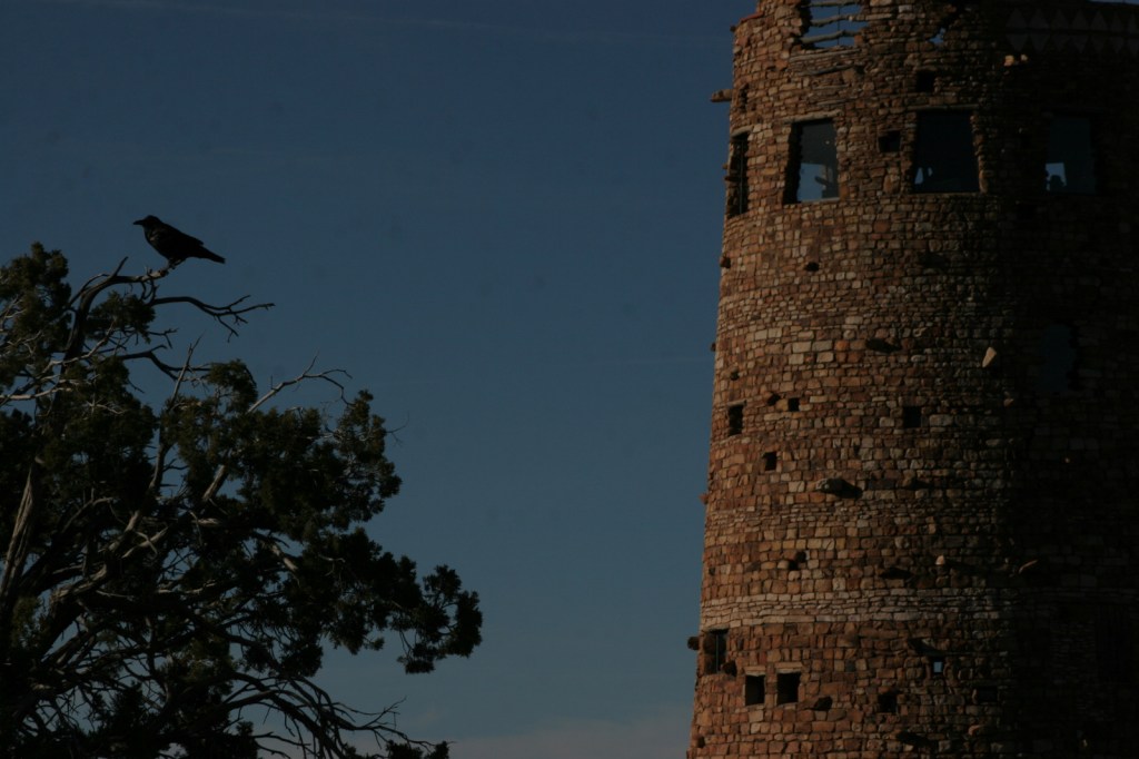
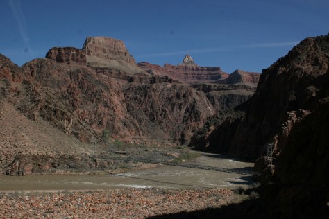
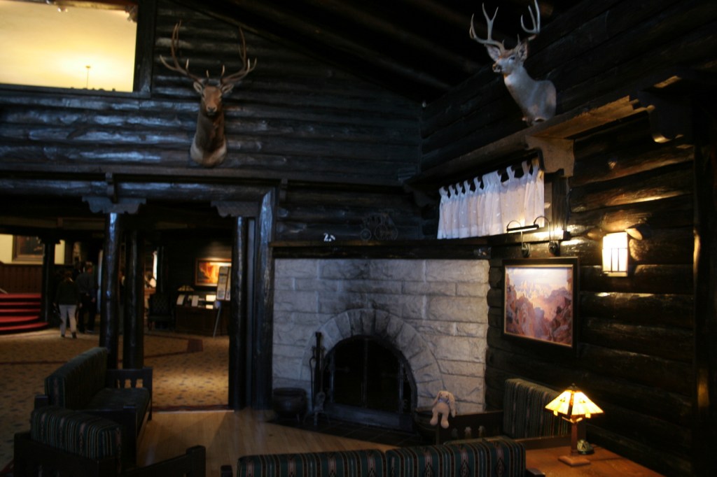
Desert View Watchtower, Hopi House, El Tovar Hotel, Phantom Ranch, Toroweap Overlook, whitewater rafting the Colorado River
Must-Do Activity
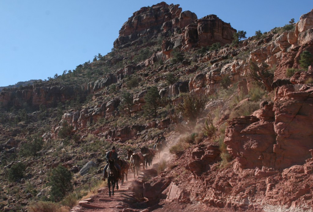
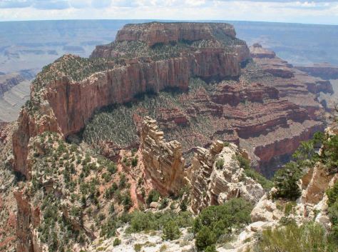
Growing up in Arizona, Scott used to visit this park frequently, but he feels he never got to know it until he hiked to the bottom in 2016. Even if you only go a couple thousand feet down in elevation on the Grandview Trail or busy Bright Angel Trail, it will give you a new perspective on the canyon.
Best Trail
We day hiked the 18 miles from South Kaibab Trailhead (7200 feet elevation) down to Phantom Ranch (2500 feet) where we filled up with water on the way back up to Bright Angel Trailhead (6800 feet, with multiple water stations on the trail). Backcountry permits can turn this into a multiple day trek, but then you have to carry all your gear out.
Photographic Opportunity
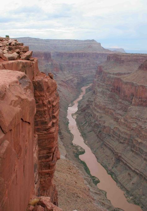
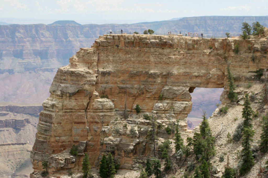
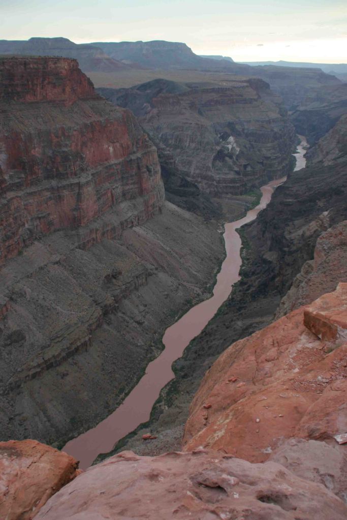
It is an arduous 90-mile one-way drive down a mostly dirt road to access Toroweap Overlook (free online permit required before arrival), but there is a reason photos from this fantastic overlook show up everywhere since the canyon walls are nearly vertical here.
Peak Season
Summer when it is very hot inside the canyon, though it can also be busy around the spring, fall, and December holidays.
Hours
https://www.nps.gov/grca/planyourvisit/hours.htm
Fees
$35 per vehicle or America The Beautiful pass
Road Conditions
Most roads are paved, and except for the very end of the 90-mile long graded dirt road to Toroweap Overlook is accessible to all passenger vehicles (free permit required).
Camping
The park has campgrounds on both rims, but you can also find dispersed camping in the neighboring Kaibab National Forest.
Related Sites
Baaj Nwaavjo I’tah Kukveni–Ancestral Footprints of the Grand Canyon National Monument (Arizona)
Coconino National Forest (Arizona)
Wupatki National Monument (Arizona)

Explore More – Was Marguerite Henry’s book character Brighty based on a real burro?

Know someone who loves National Parks? Gift them our travel guide A Park to Yourself: Finding Solitude in America’s 63 National Parks.