Overview
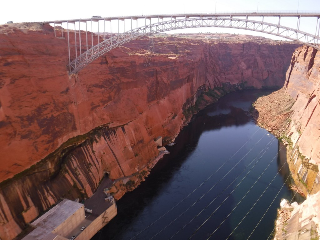
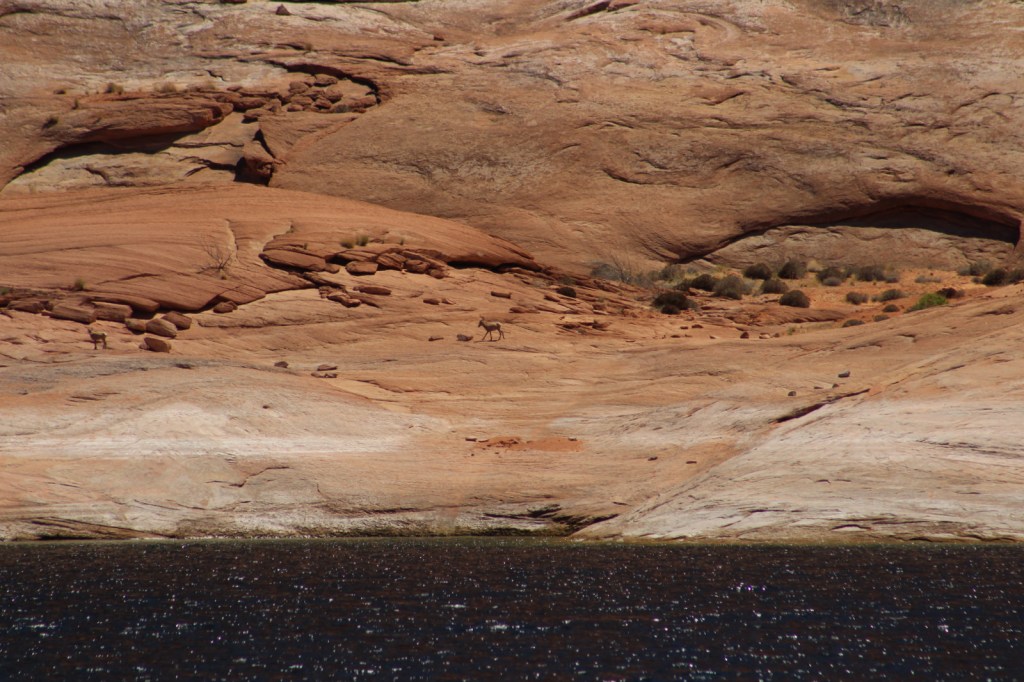
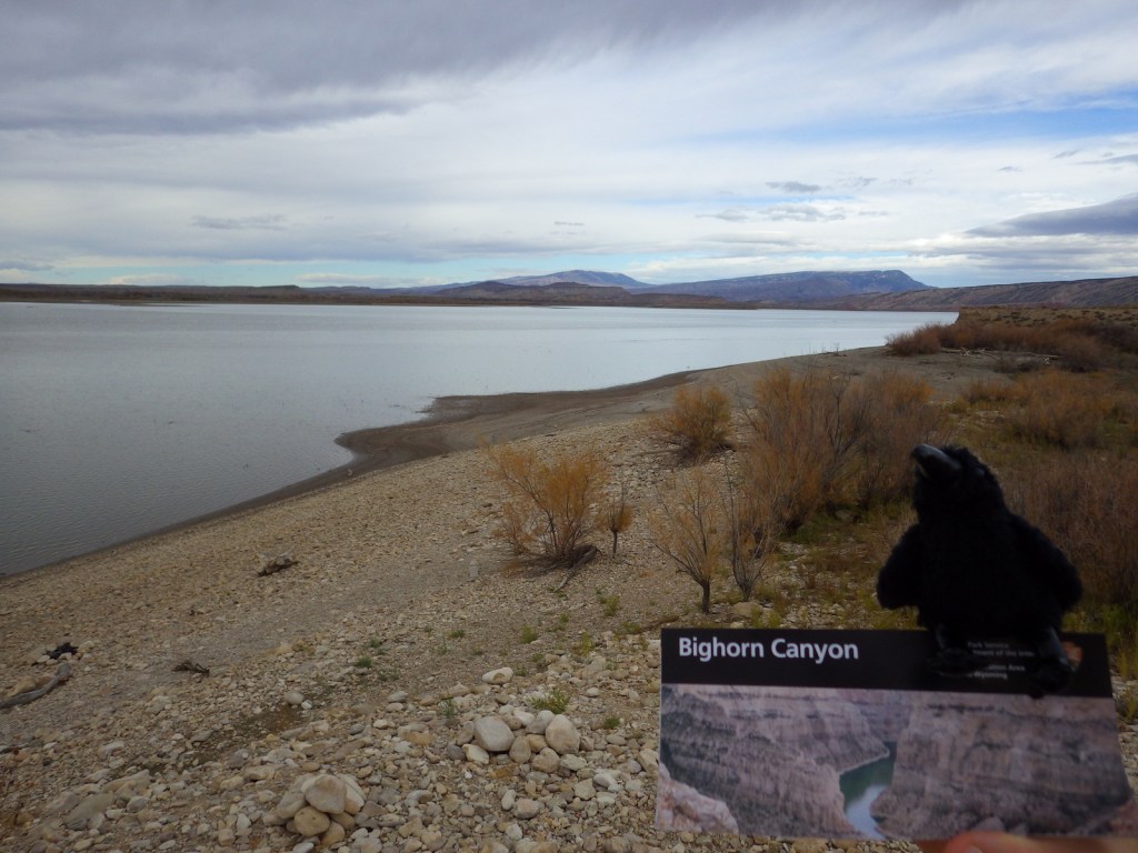
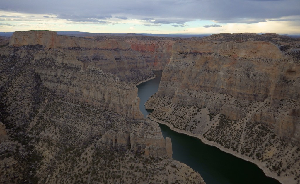
Bighorn Canyon National Recreation Area is an underappreciated gem in the National Park Service (NPS) system. It has gorgeous scenery, a winding reservoir, and abundant wildlife, including bighorn sheep and wild horses. The 525-foot tall Yellowtail Dam was completed in 1968, creating a 71-mile long reservoir, the majority of which is in narrow Bighorn Canyon where cliffs soar up to 2,000 feet above the water.
Highlights
Devil Canyon Overlook, Hillsboro Dude Ranch, Horseshoe Bend, Yellowtail Dam
Must-Do Activity
No road connects the north and south portion of the park, making for a long drive between the NPS visitor center in Lovell, Wyoming and the one at the Yellowtail Dam in Montana. Thus, it is best to choose either one side or the other and explore the canyon by boat. Devil Canyon Overlook and most of the 27 miles of hiking trails are in the southern section. This is also where the Pryor Mountain Wild Horse Range enters into Bighorn Canyon National Recreation Area. In the summer there are lifeguards at the designated swimming areas at Horseshoe Bend and Ok-A-Beh.
Best Trail
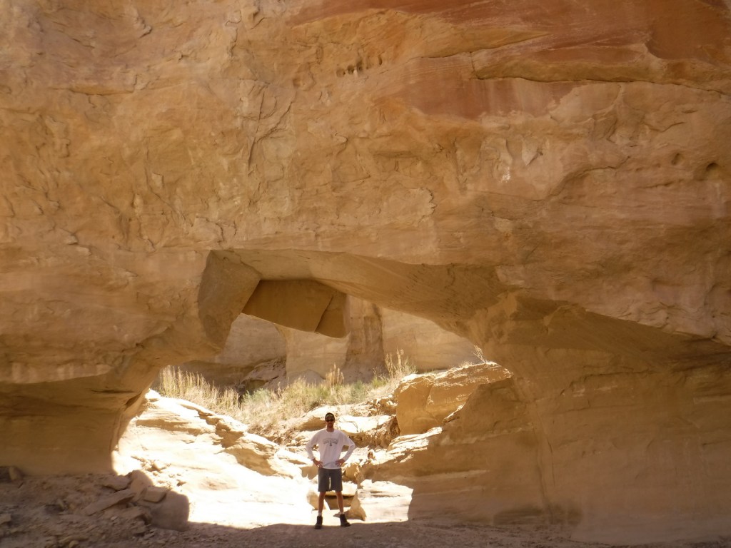
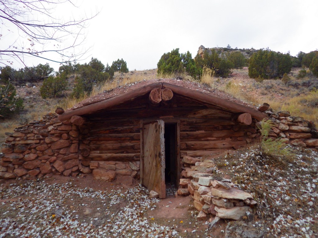
The southern portion of Bighorn Canyon National Recreation Area has trails to historic sites like Hillsboro Dude Ranch and several tipi rings found along Bad Pass Trail, a route which has seen over 10,000 years of human use.
Instagram-worthy Photo
If you are unable to get out on the water, the highlight of the park is Devil Canyon Overlook where the cliffs drop over 1,000 feet straight down to the lake.
Peak Season
Summer
Hours
https://www.nps.gov/bica/planyourvisit/hours.htm
Fees
None
Road Conditions
Almost every road is paved, but they are narrow and winding so may not be advisable for very long RVs.
Camping
There are drive-in campgrounds (fee) in both states, as well as free boat-in campgrounds on the Montana side. Backcountry camping is allowed below the highwater mark of Bighorn Lake.
Related Sites
Little Bighorn Battlefield National Monument (Montana)
Devils Tower National Monument (Wyoming)
Jewel Cave National Monument (South Dakota)

Bighorn sheep 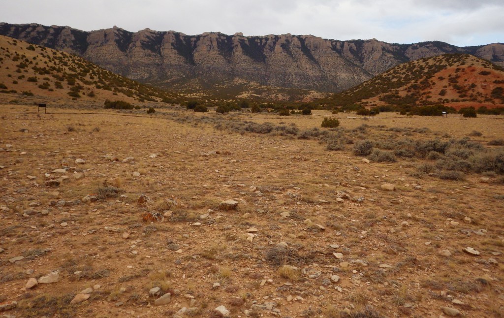
Tipi rings 
Wild horses 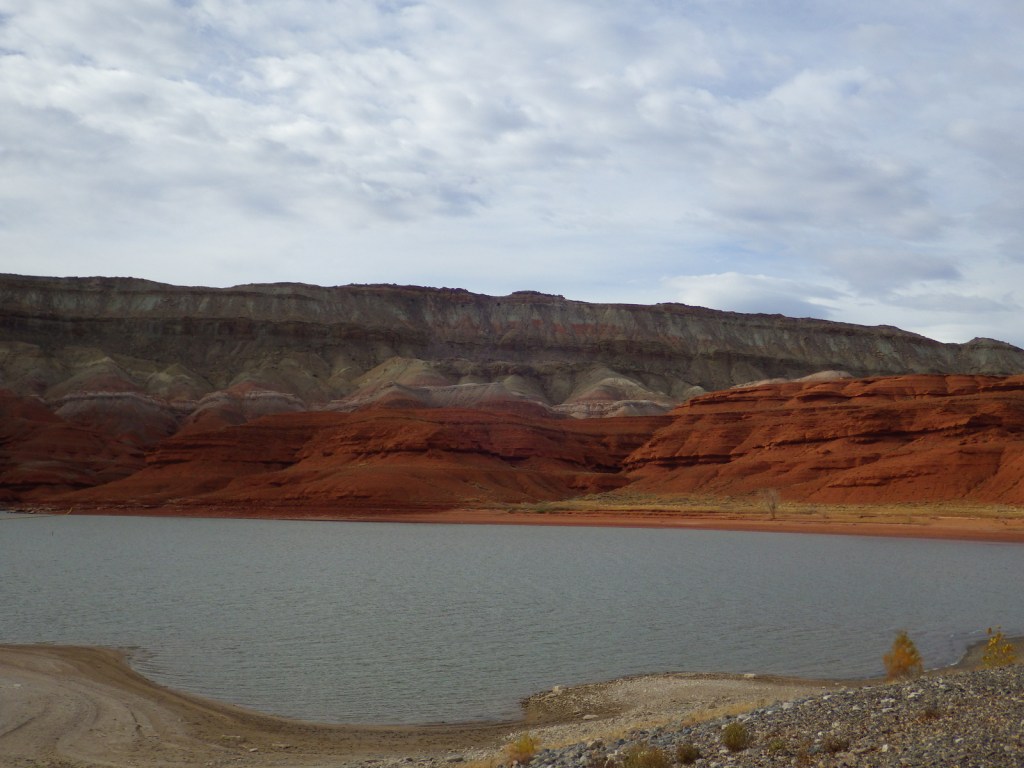
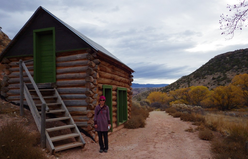
Tiff at Hillsboro Dude Ranch 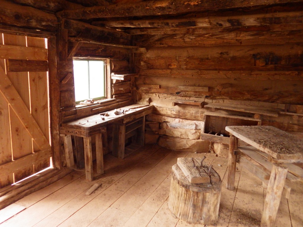
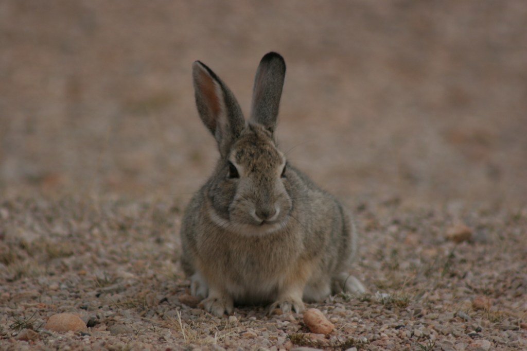
Cottontail rabbit 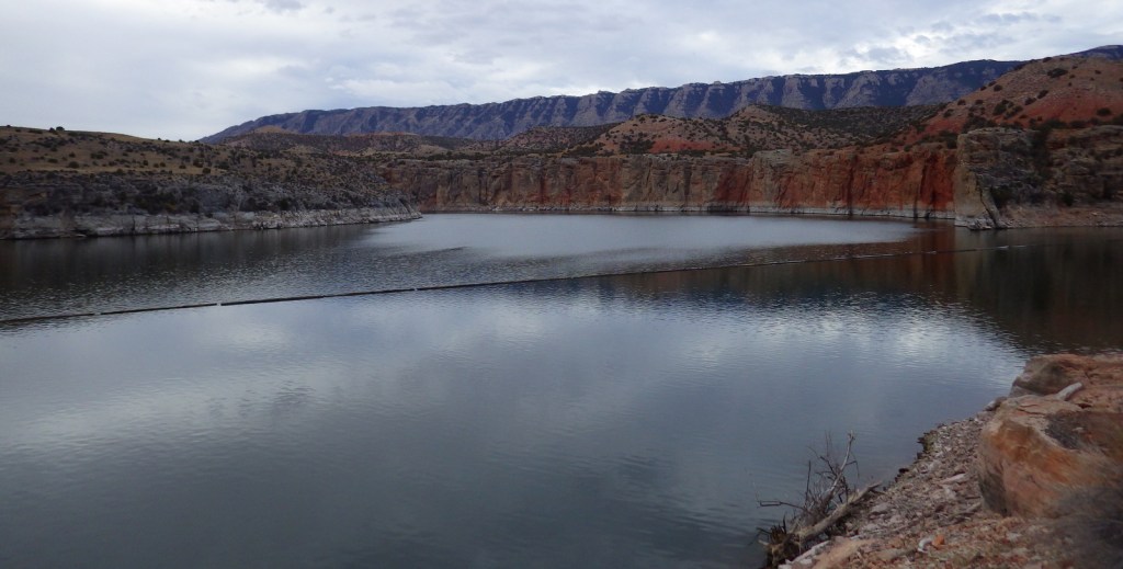
Barry’s Landing 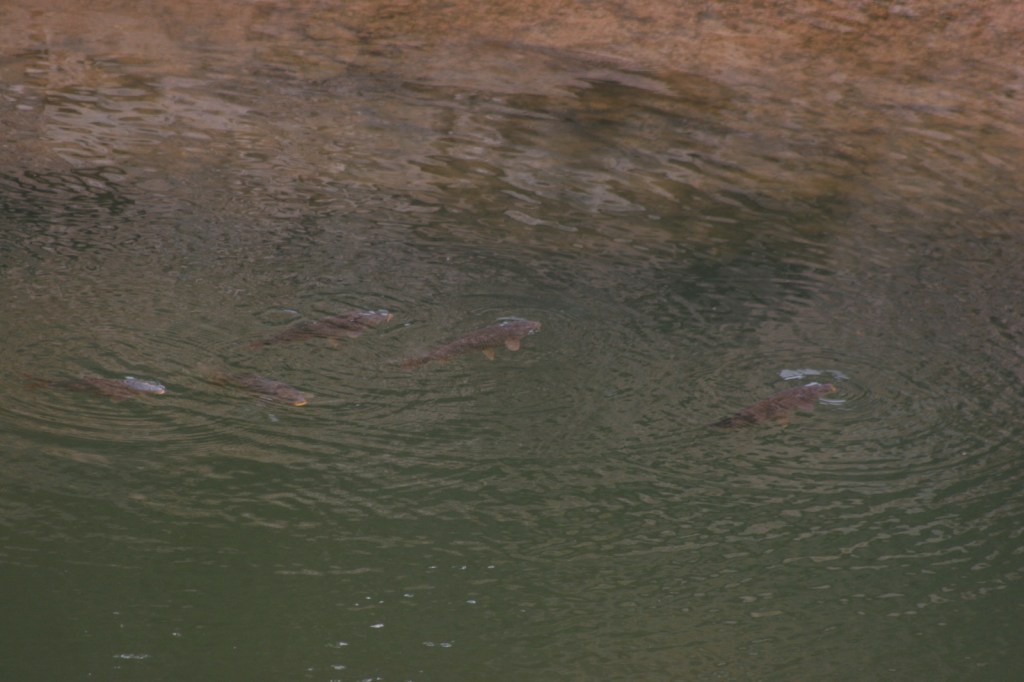
Carp 
Barry’s Landing 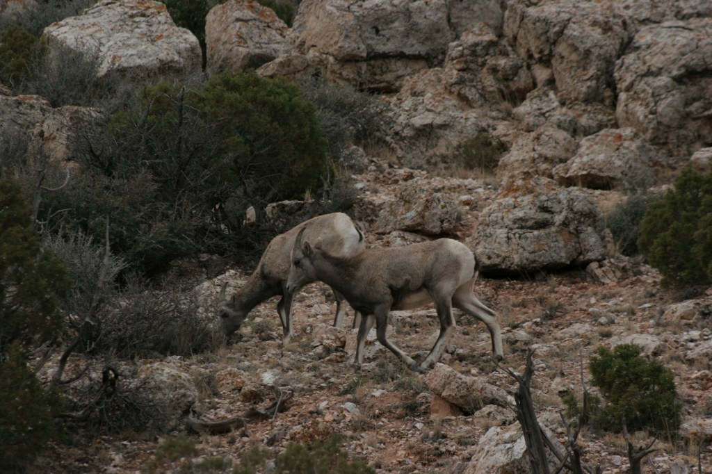
Bighorn sheep
Explore More – The Yellowtail Dam is named after whom?