Overview
Lassen Peak is the southernmost volcano in the Cascade Mountain Range that also includes Mount Rainier, Mount Saint Helens, and Mount Hood. Lassen Peak last erupted from 1914 to 1917, prompting its creation as a National Park. Access is limited during the long winters, but you can go cross-country skiing and snowmobiling in adjacent Lassen National Forest.
Learn more in our guidebook to the National Parks, A Park to Yourself: Finding Adventure in America’s National Parks (available on Amazon).
Highlights
Bumpass Hell, Lassen Peak Trail, Sulphur Works, Manzanita Lake
Must-Do Activity
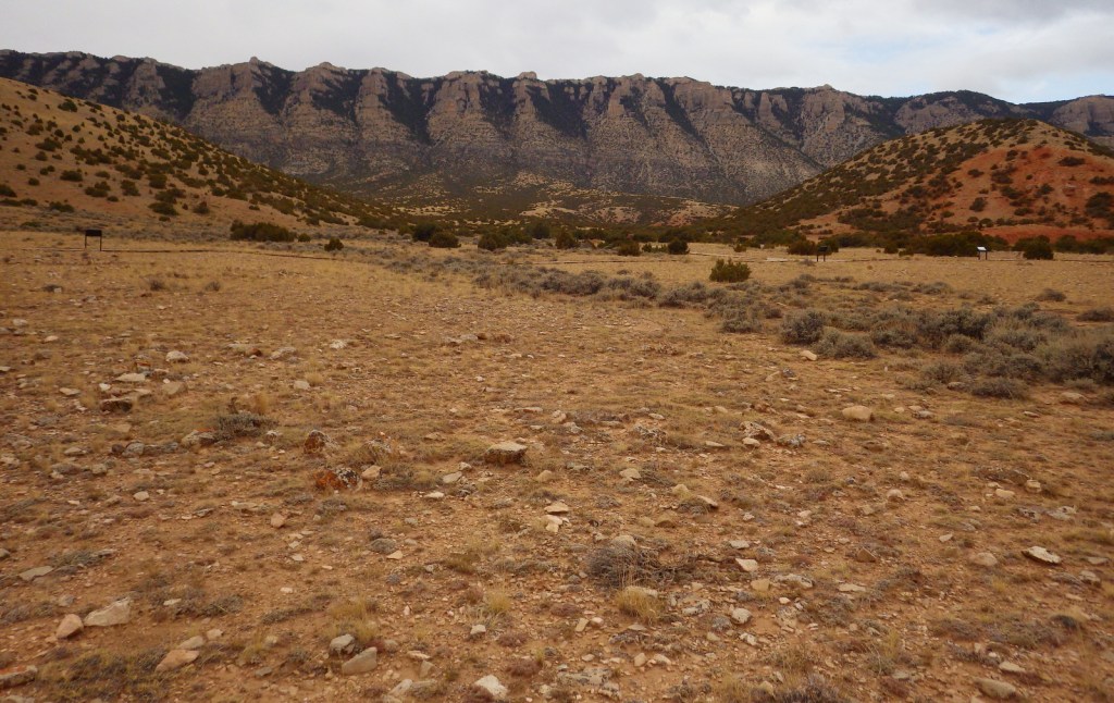
Many hikers make it to the 10,457-foot summit of the dormant volcano for fantastic views of Lake Almanor and Mount Shasta. If you are not up for a 2,000 foot elevation gain, then make sure to take the flatter trail to Bumpass Hell, a colorful collection of geysers, fumaroles, and hot springs that is like a miniature Yellowstone National Park. June may be a little early to visit after heavy snow years, so aim for late-July or August instead.
Best Trail
In the park’s remote northeast corner, a hike to the well-named Painted Dunes is worth the effort. From that point you can climb up the shifting trail to the top of the cinder cone for great views of the colorful lava bed, turquoise Butte Lake, and snow-covered Lassen Peak. Expect to get a lot of jagged cinders in your shoes unless you come prepared. If you continue your ramble you can hook up with the 2,663-mile long Pacific Crest Trail which cuts through the park.
Instagram-worthy Photo
There is a great view down into Bumpass Hell as you approach it from the trail. Note the snowbanks lasting into late August.

Peak Season
Late summer
Hours
https://www.nps.gov/lavo/planyourvisit/hours.htm
Fees
$30 per vehicle or America the Beautiful pass
Road Conditions
Even if the paved road across the park’s high country is closed in early summer, try making it down the dirt road to Butte Lake (at a lower elevation) in the northeast corner of the park.
Camping
There are seasonal campgrounds within the park, or try finding a dispersed campsite on the dirt roads of surrounding Lassen National Forest.
Related Sites
Lava Beds National Monument (California)
Devils Postpile National Monument (California)
Whiskeytown-Shasta-Trinity National Recreation Area (California)
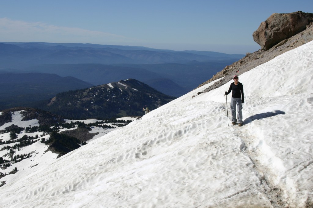
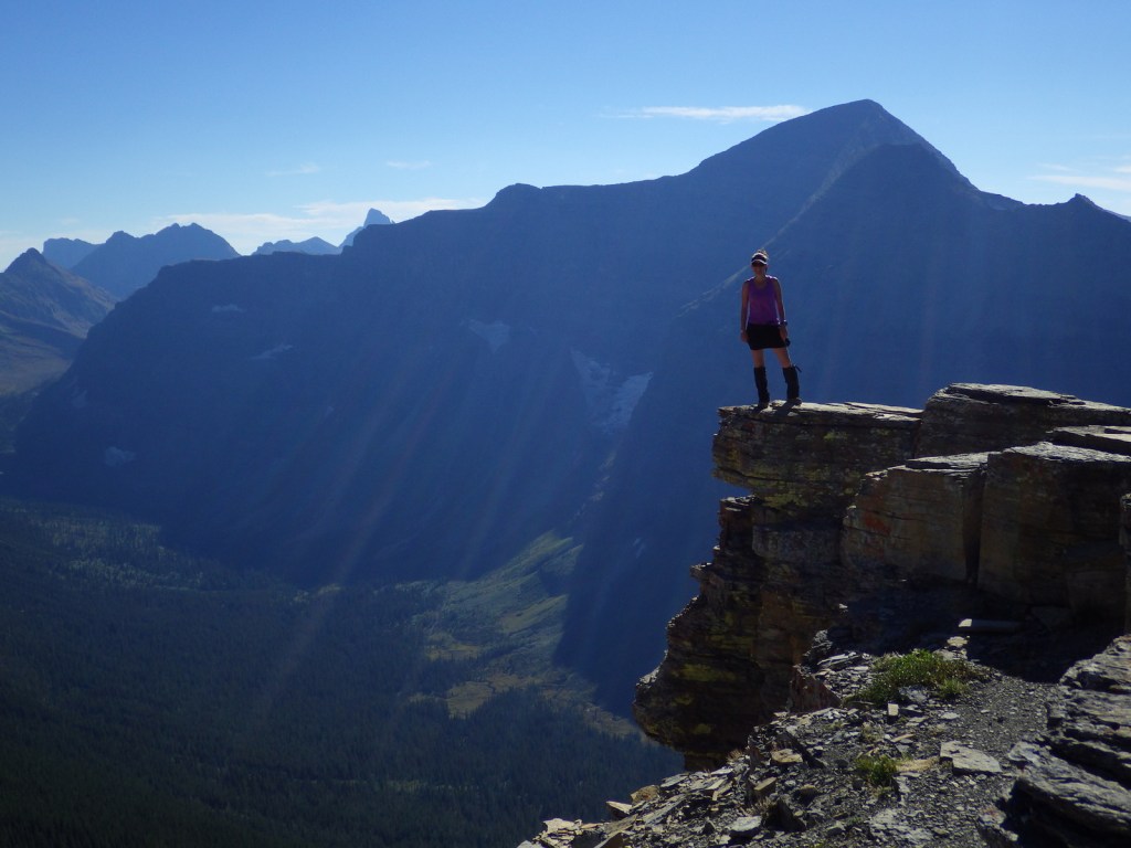
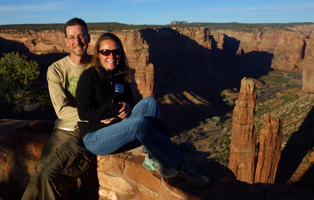
Tiff on the trail to the summit in late August 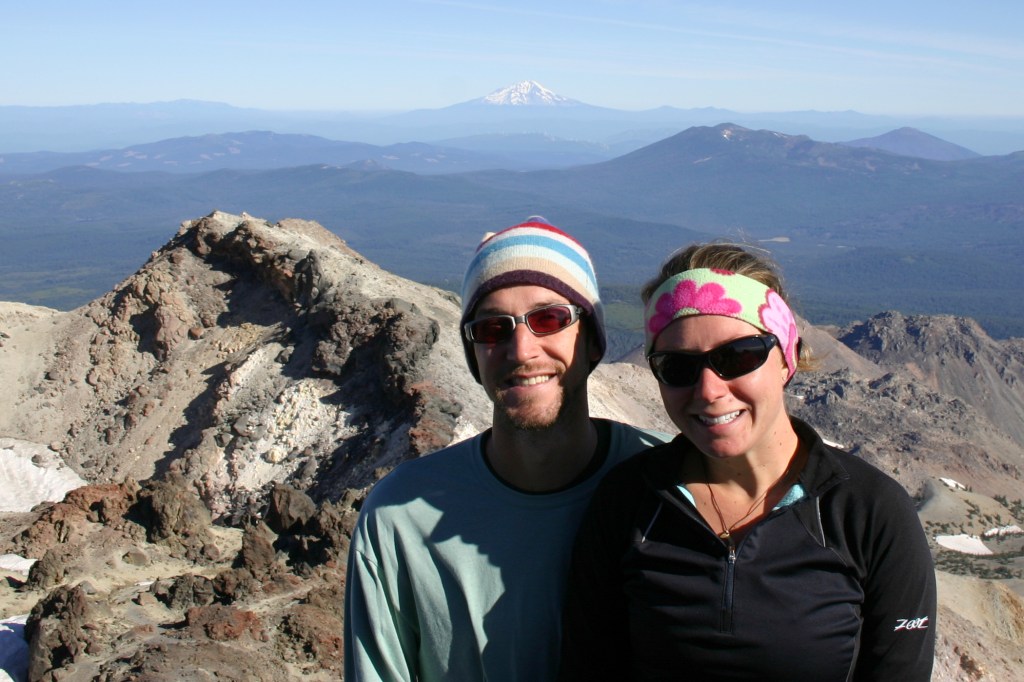
Scott and Tiff atop Lassen Peak with Mt. Shasta in the background 

Tiff in Bumpass Hell 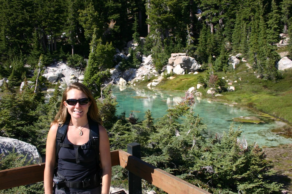


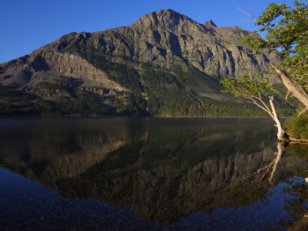
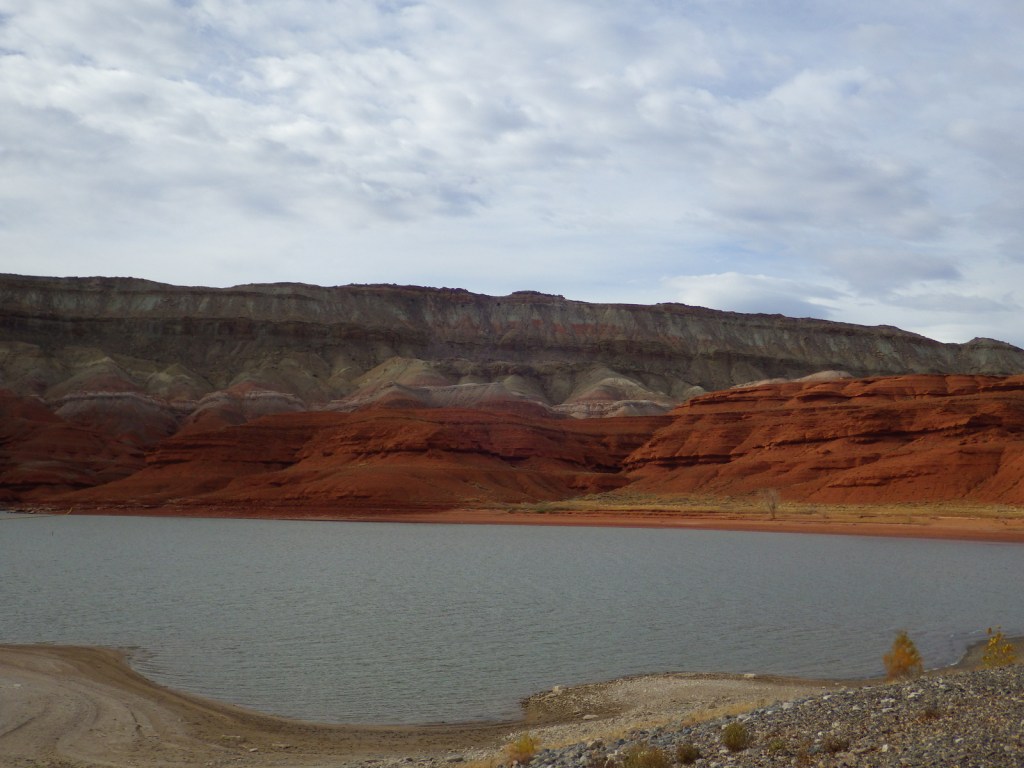
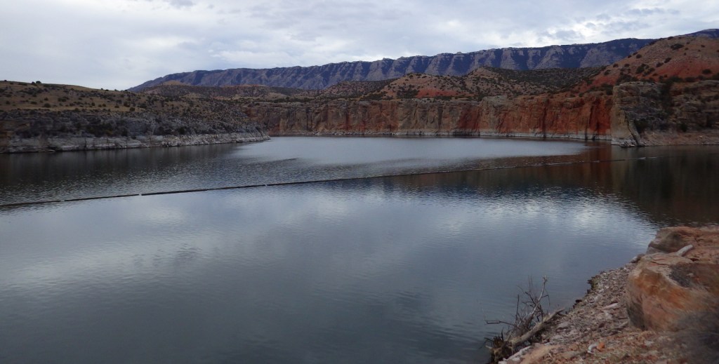
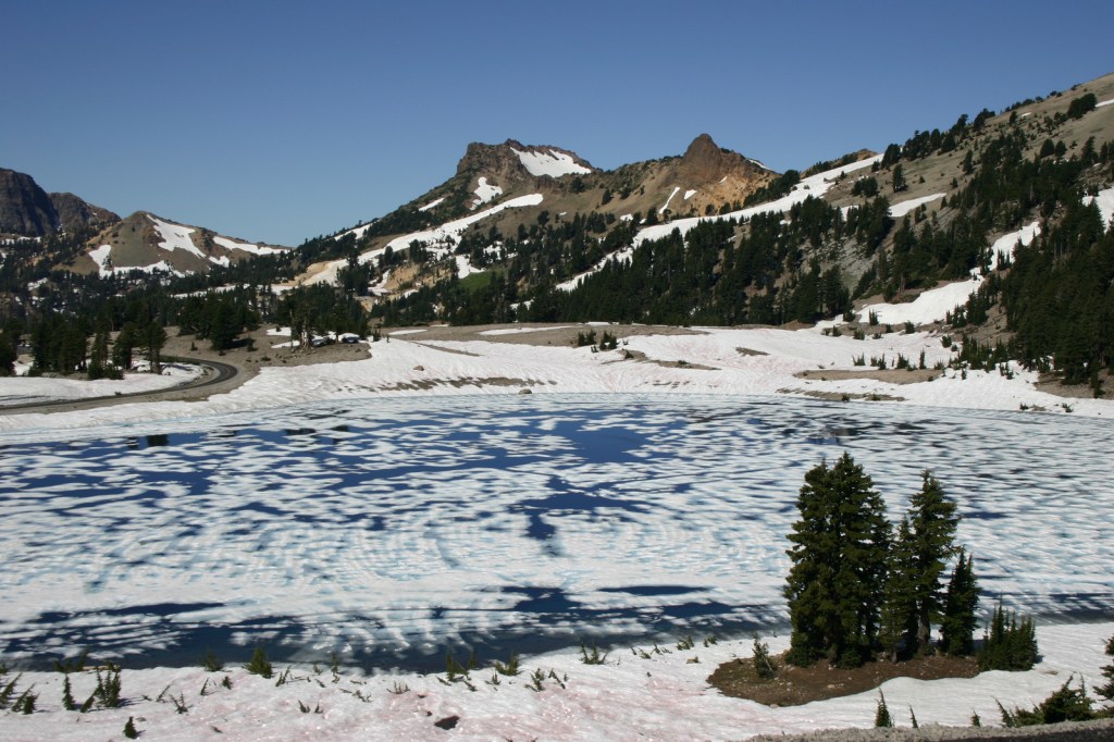
Butte Lake 
Painted Dunes 
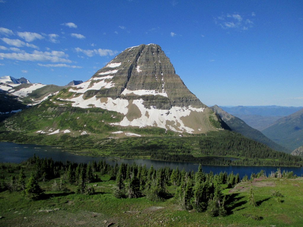
Lassen Peak looks very refreshing from atop the heat-retaining cinder cone 
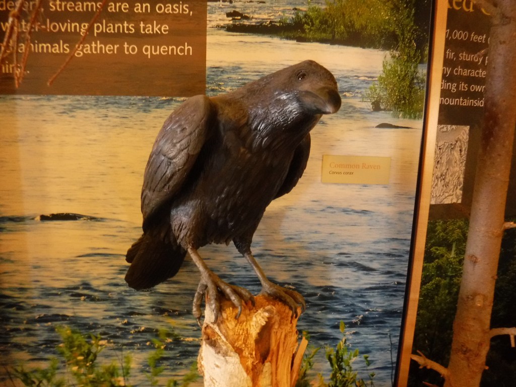
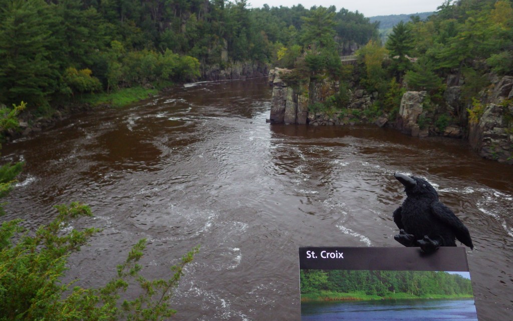
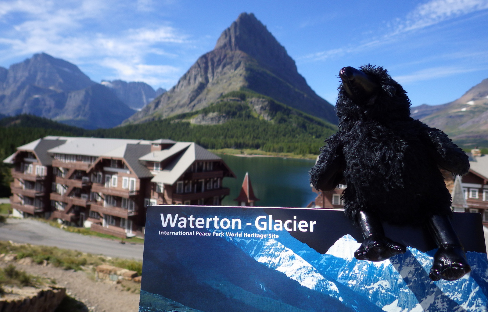
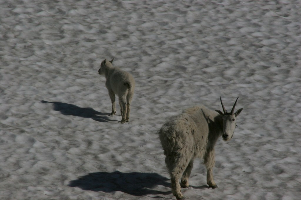
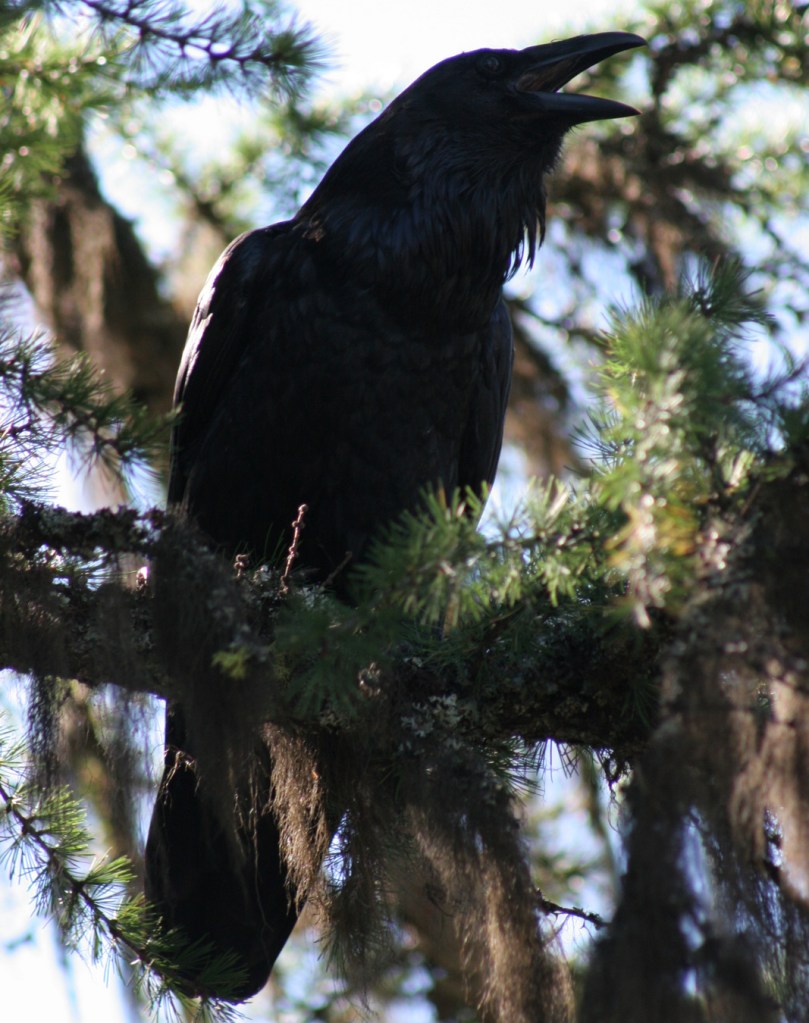
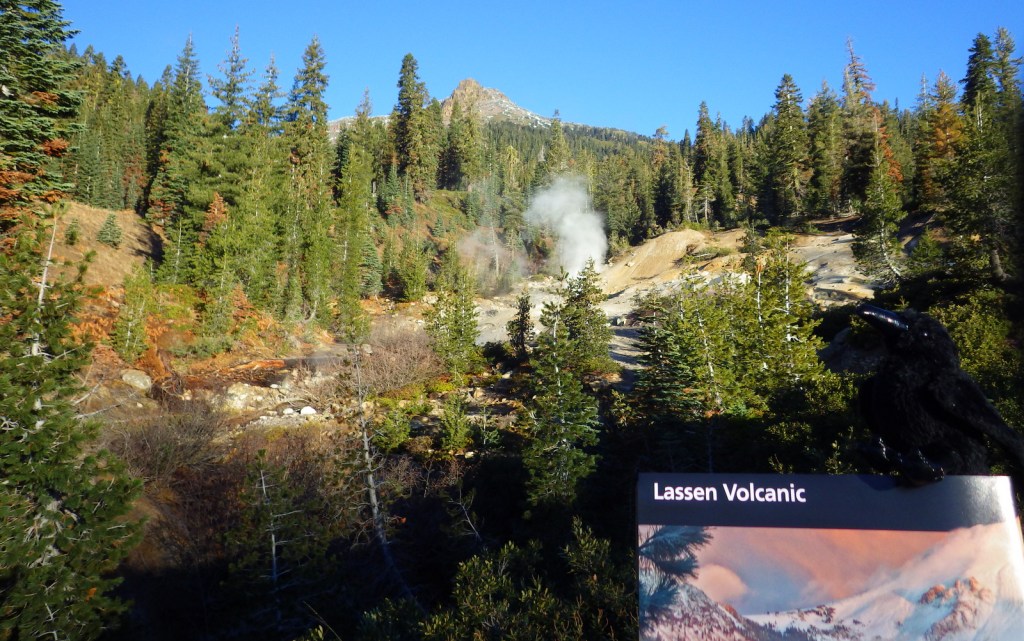
Raven about the visitor center

Explore More – More than 400,000 year ago, much of the western half of the National Park was one large composite volcano estimated to have been 11 miles in diameter and how many feet in elevation?


We are a participant in the Amazon Services LLC Associates Program, an affiliate advertising program designed to provide a means for us to earn fees by linking to Amazon.com and affiliated sites.