Modoc National Forest
California
Managed by U.S. Forest Service, Pacific Southwest Region
1,979,327 acres (1,663,401 federal/ 315,926 other)
Website: https://www.fs.usda.gov/r05/modoc
Overview
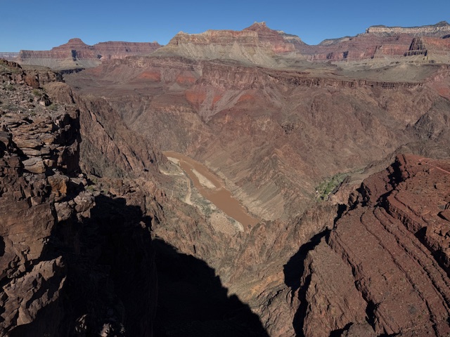
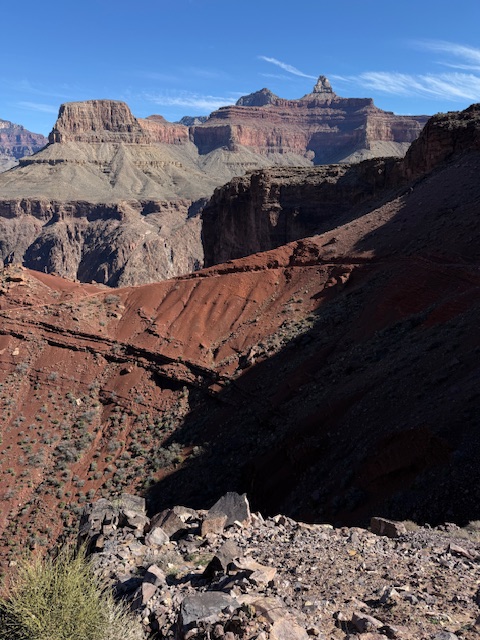
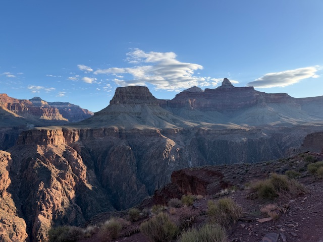
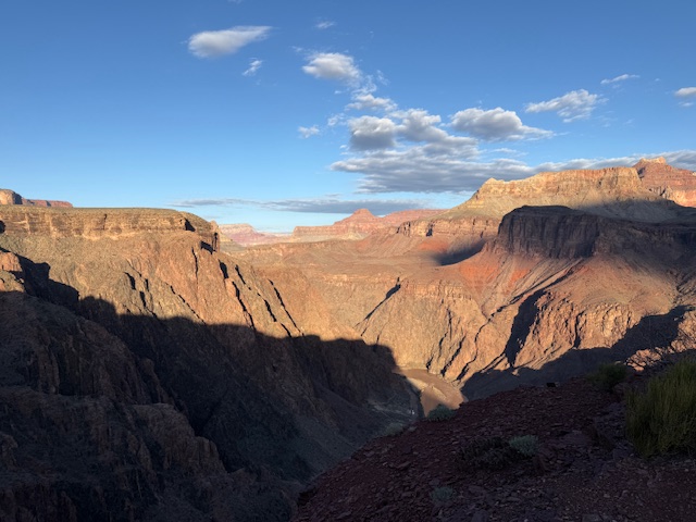
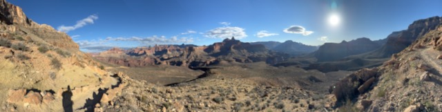
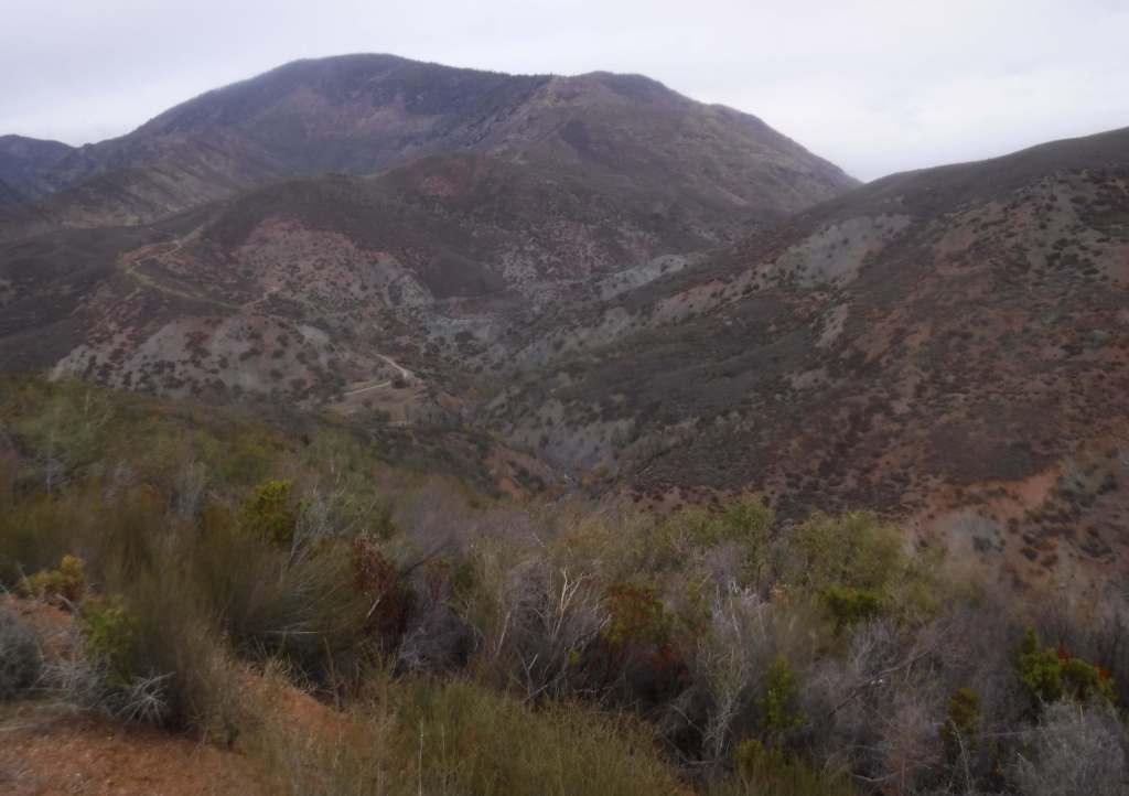
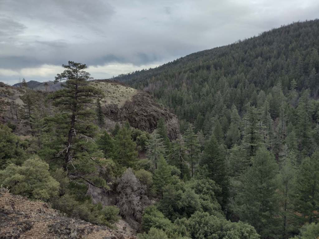
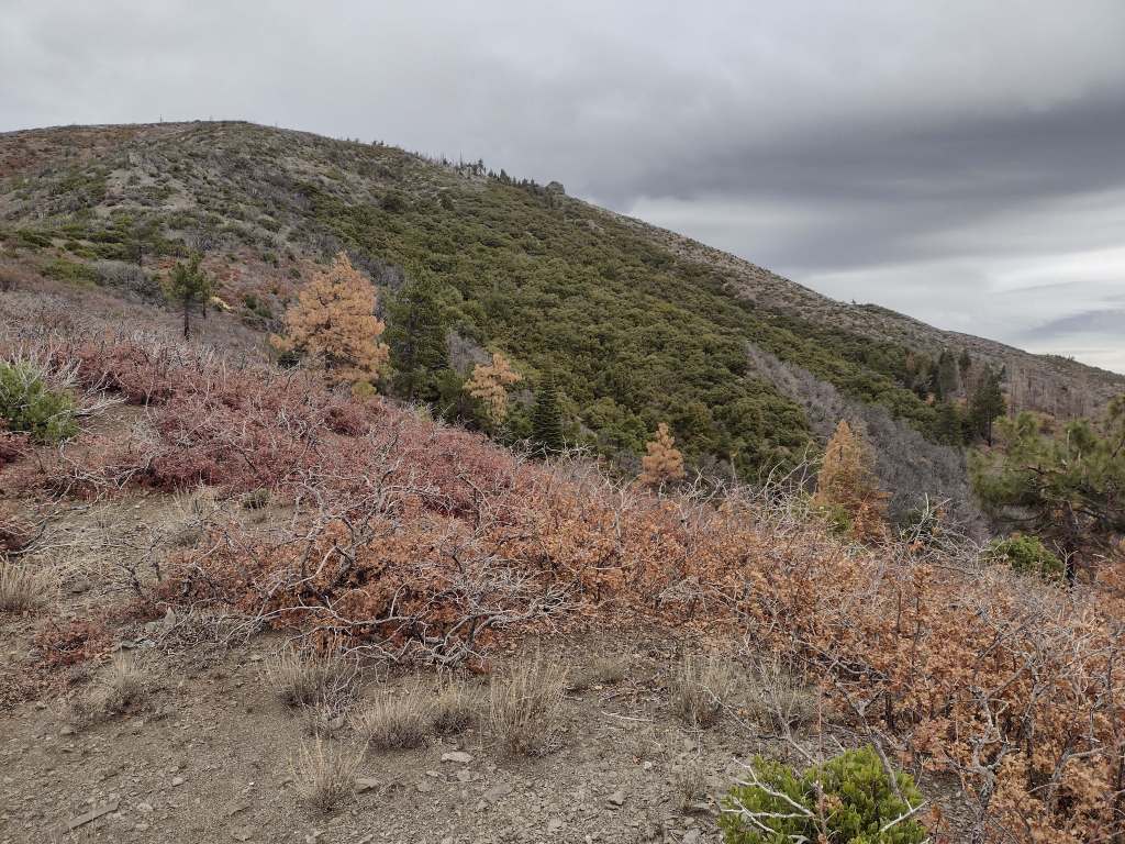
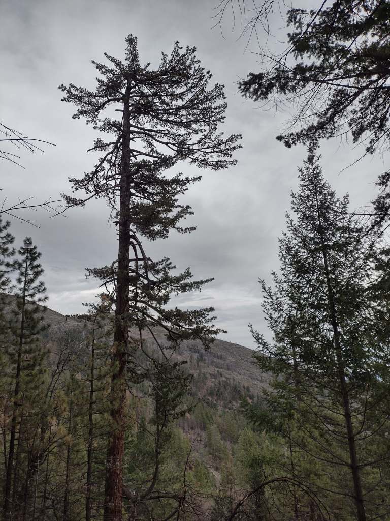
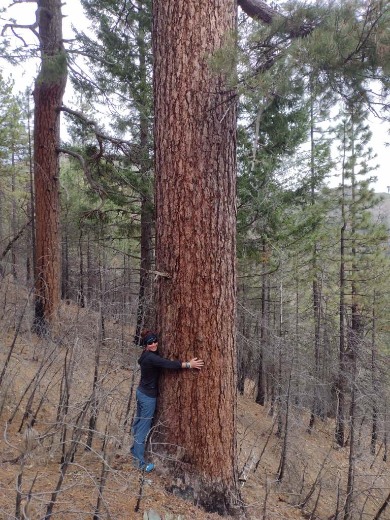
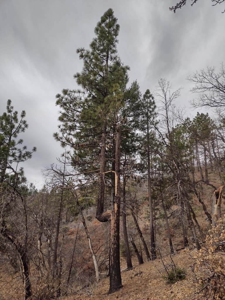
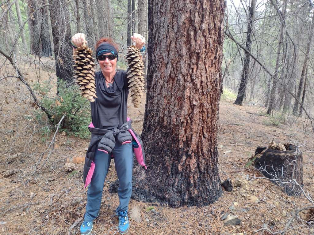
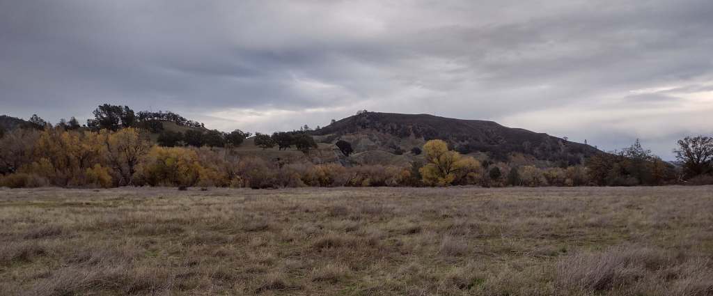
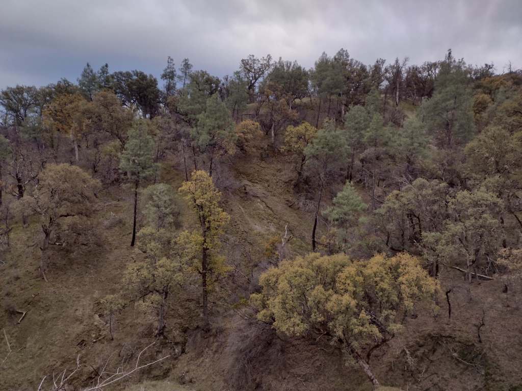
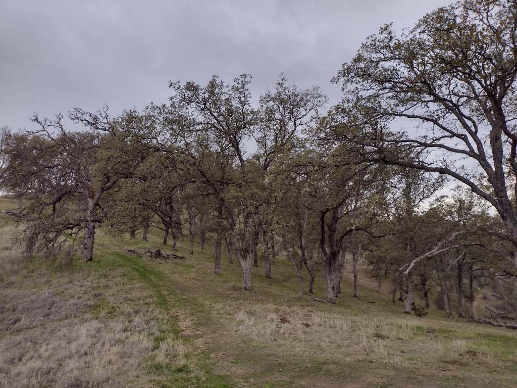
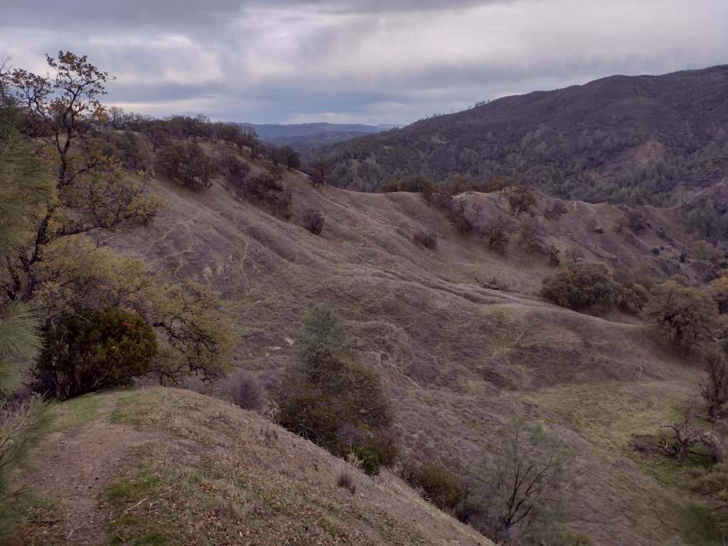
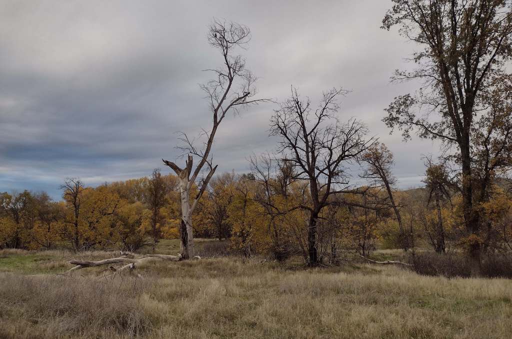
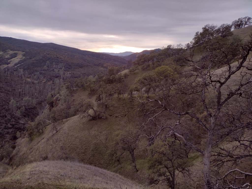
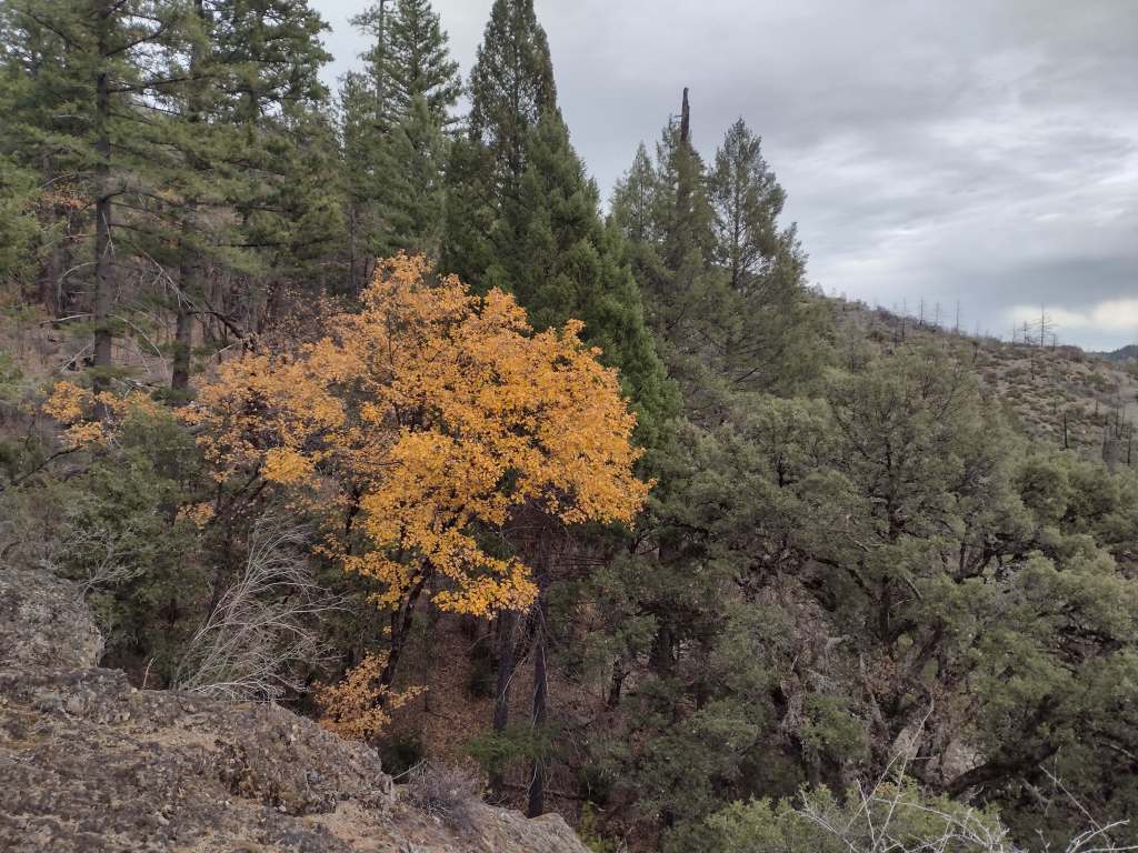
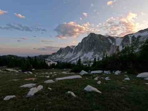
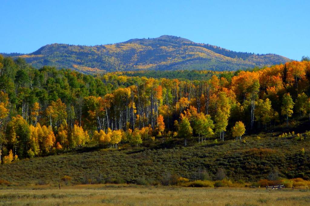
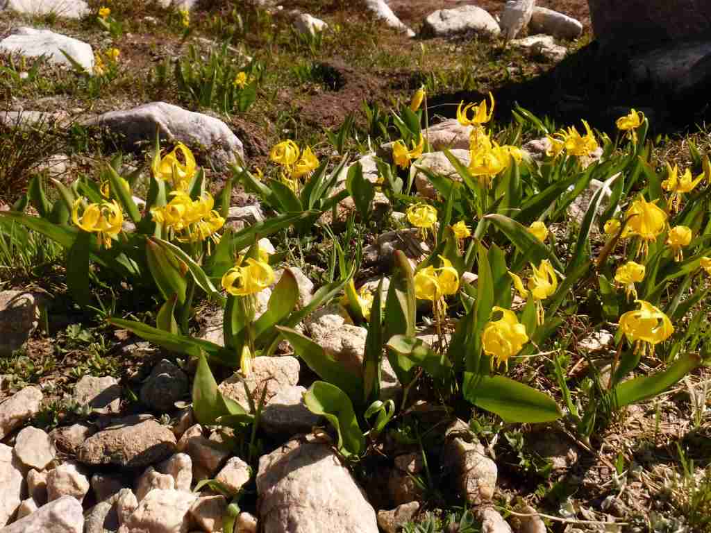
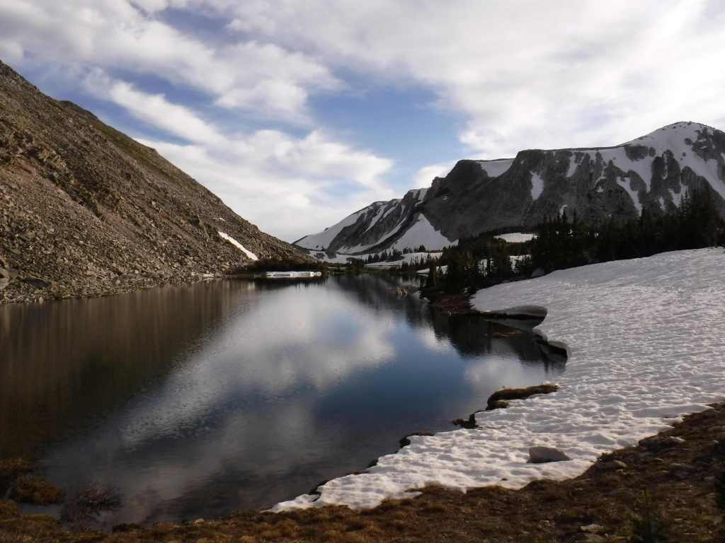
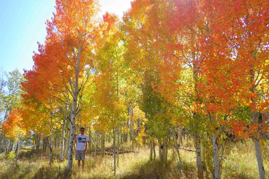
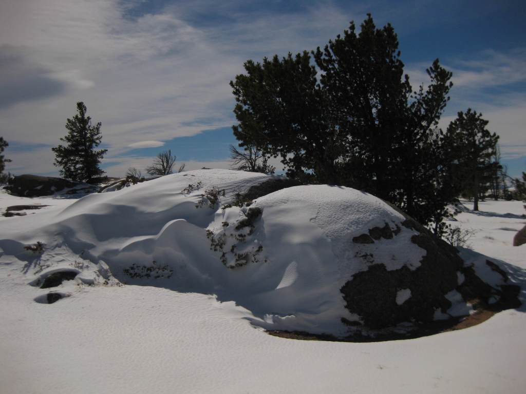
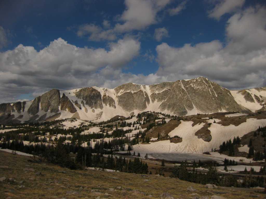
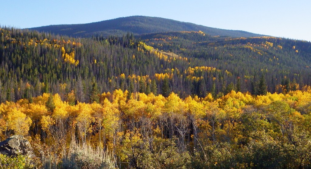
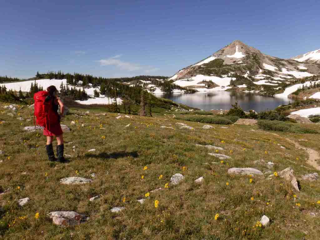
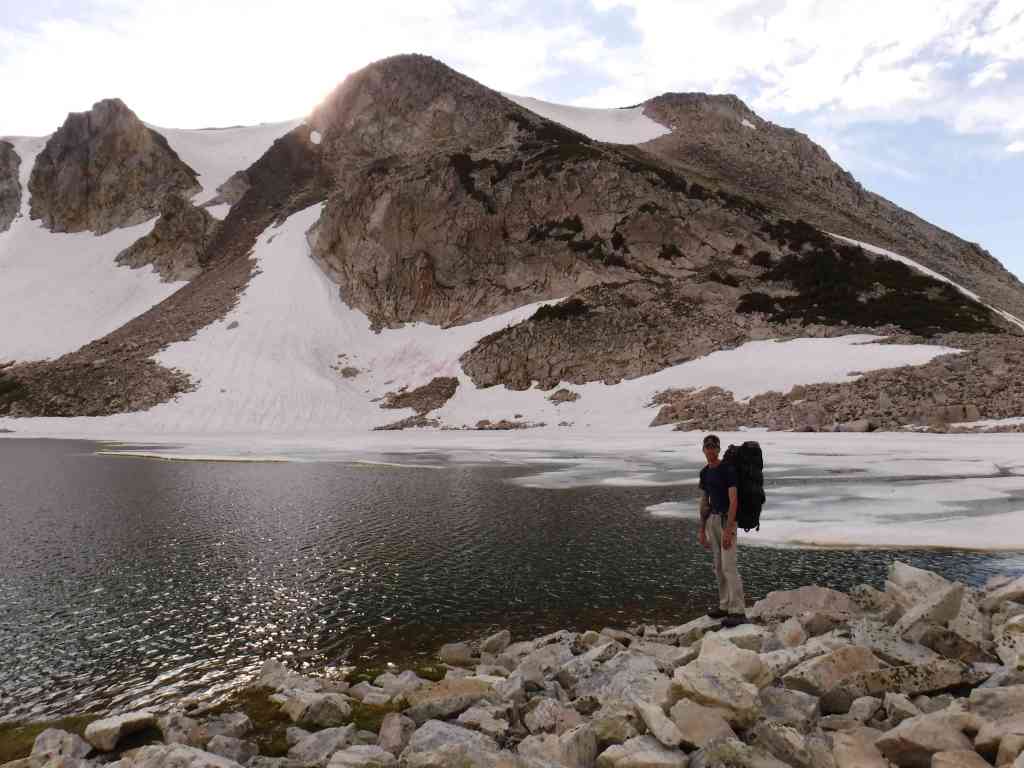
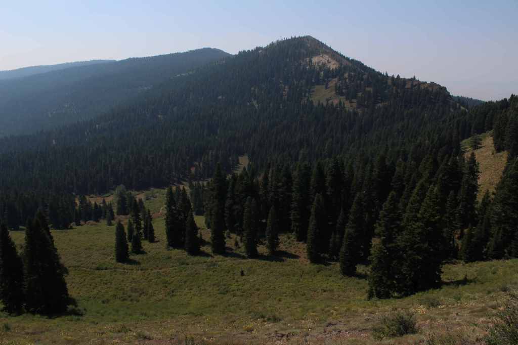
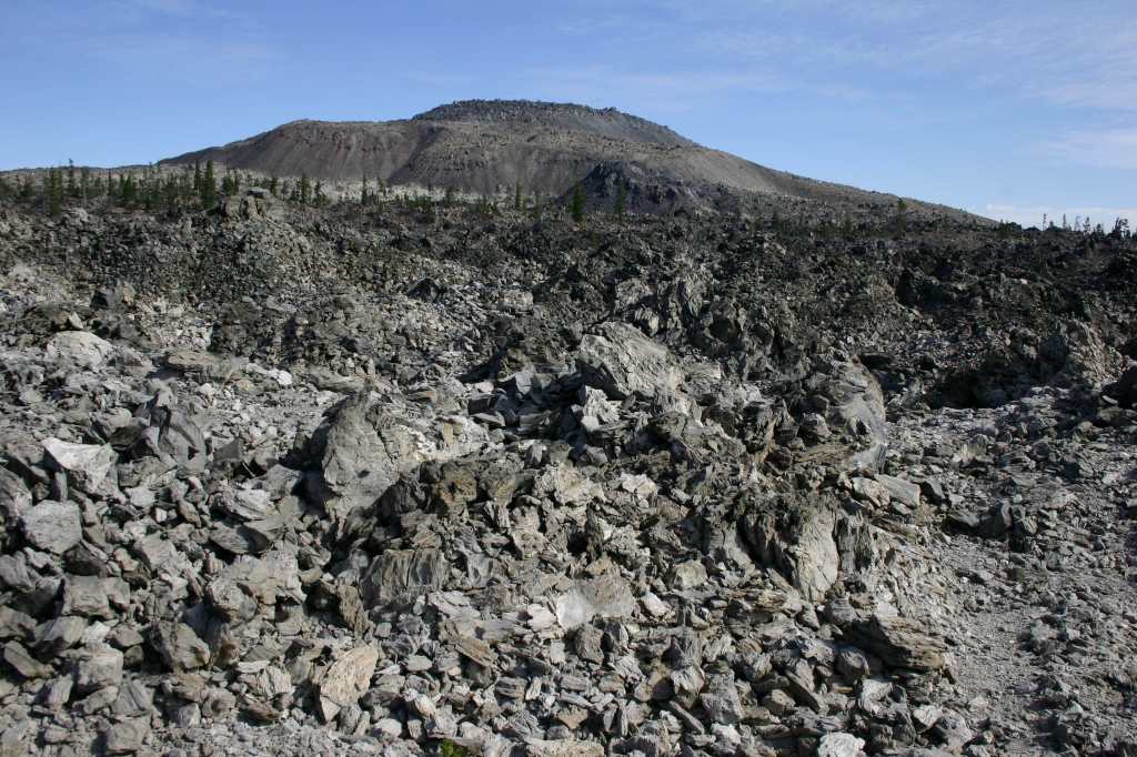
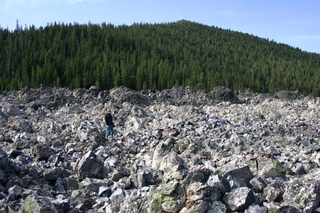
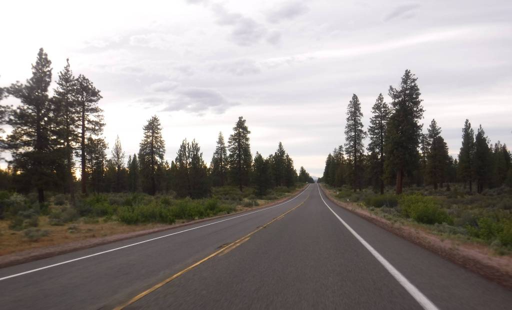
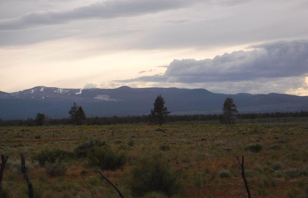
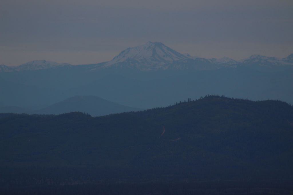
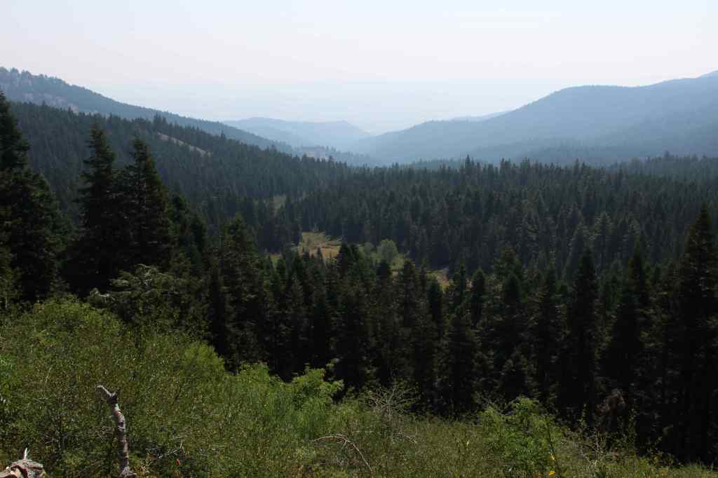
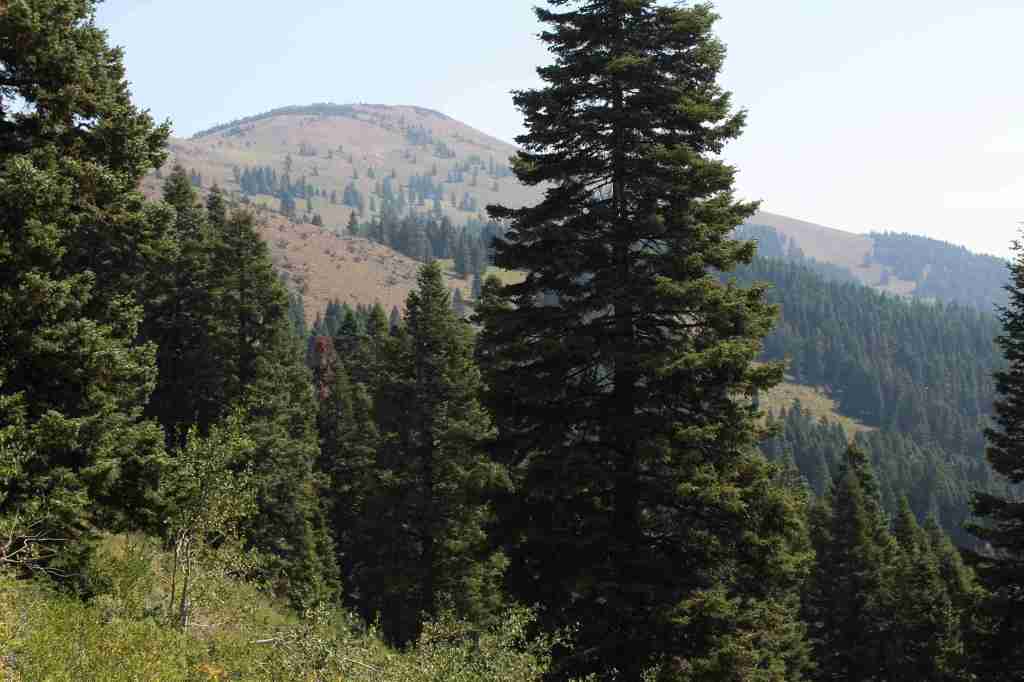
In the northeast corner of California, Modoc National Forest contains the largest shield volcano in North America: 7,921-foot Medicine Lake Volcano. This region has a long history of volcanism, as seen at Pumice Stone Mountain, Burnt Lava Flow, High Hole Crater, Hot Spot, and Glass Mountain (composed of rhyolite obsidian and glossy dacite). The basalt-topped plateau of Devil’s Garden is home to an 800-acre stand of western juniper. East of Goose Lake, the Warner Mountains rise from 4,300 feet to 9,892-foot Eagle Peak, and are covered by a mixed conifer forest of lodgepole pine, whitebark pine, ponderosa pine, incense-cedar, and red fir.
Know someone who loves the National Forests? Gift them our travel guidebook Out in the Woods so they can learn more about all 155 National Forests.
Highlights
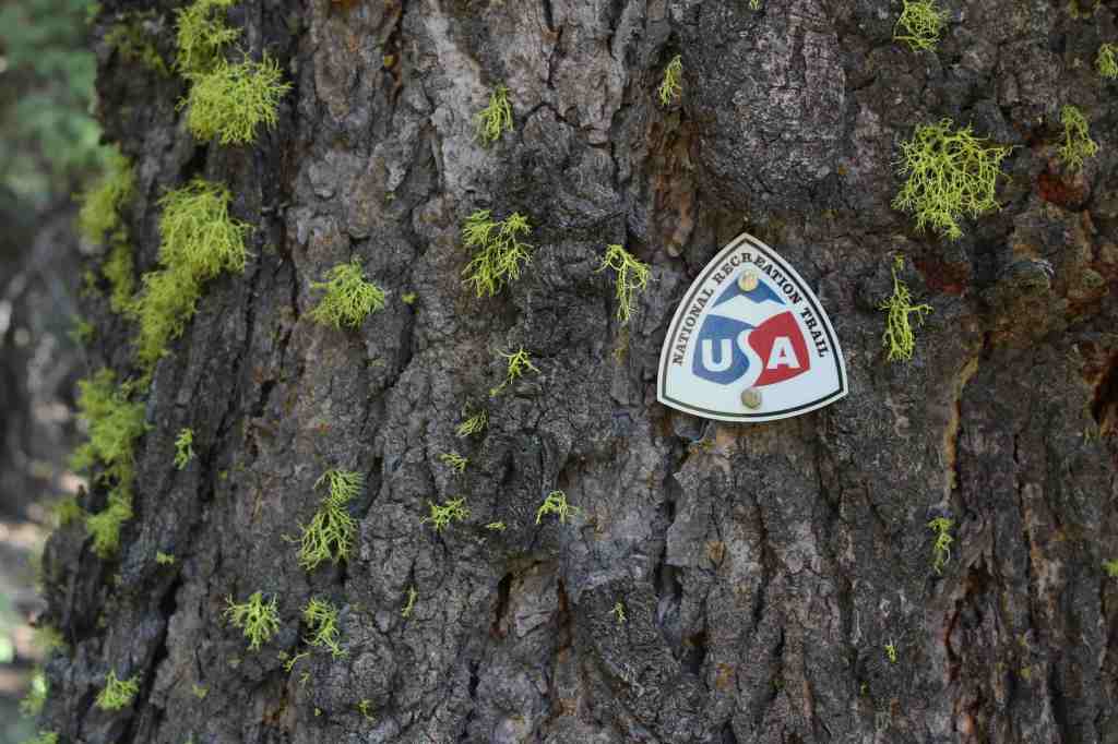
Sáttítla Highlands National Monument, Volcanic Legacy Scenic Byway, Medicine Lake Recreation Area, Glass Mountain, Devil’s Garden Natural Area, Mill Creek Falls, Highgrade National Recreation Trail, Pine Creek Trail
Must-Do Activity
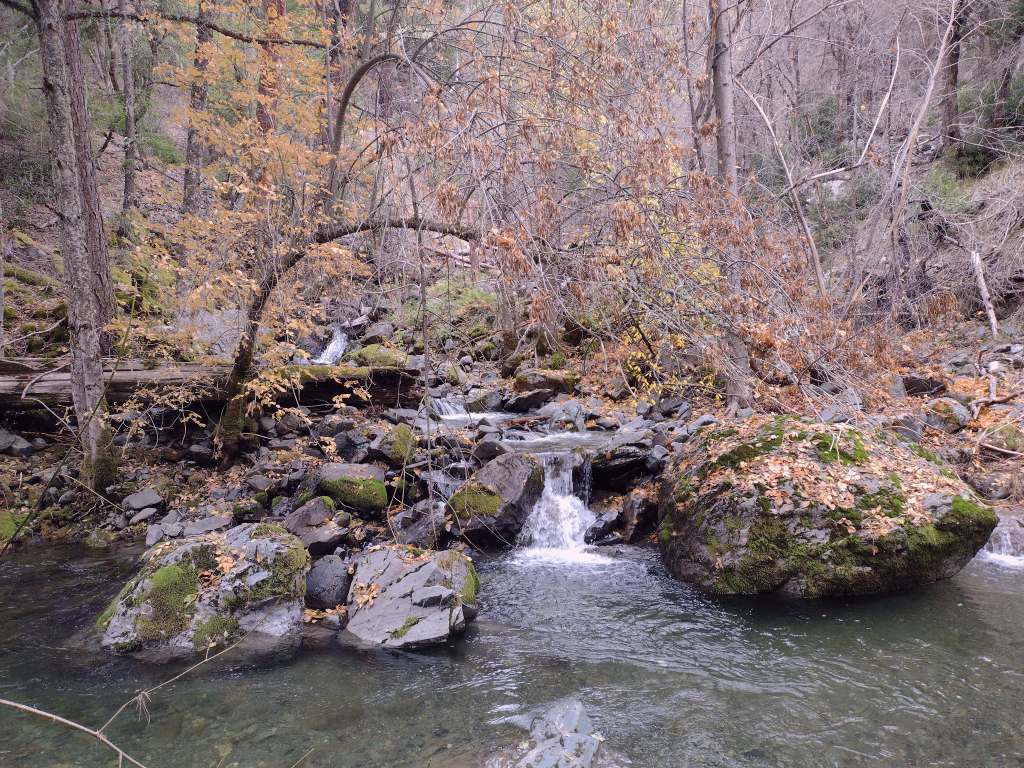
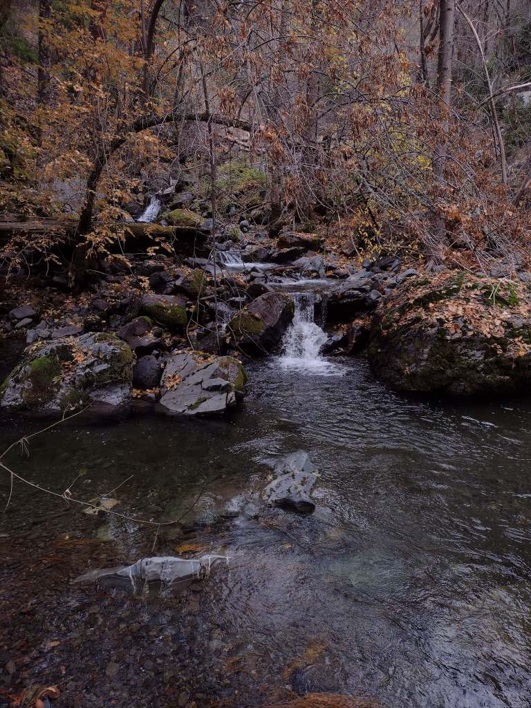
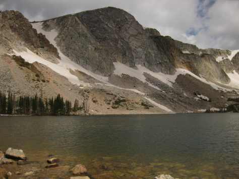
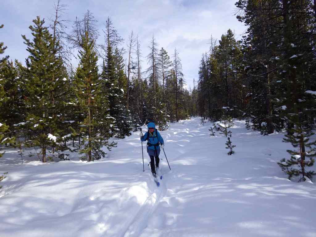
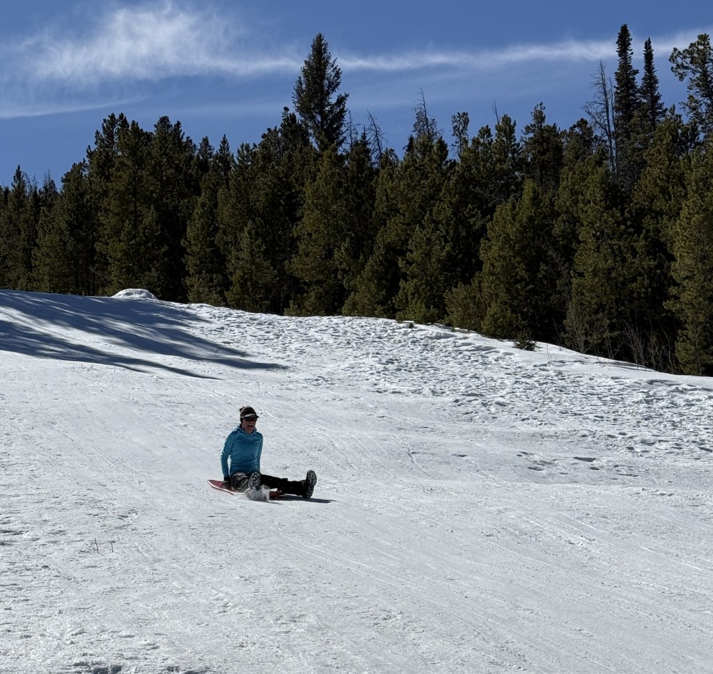
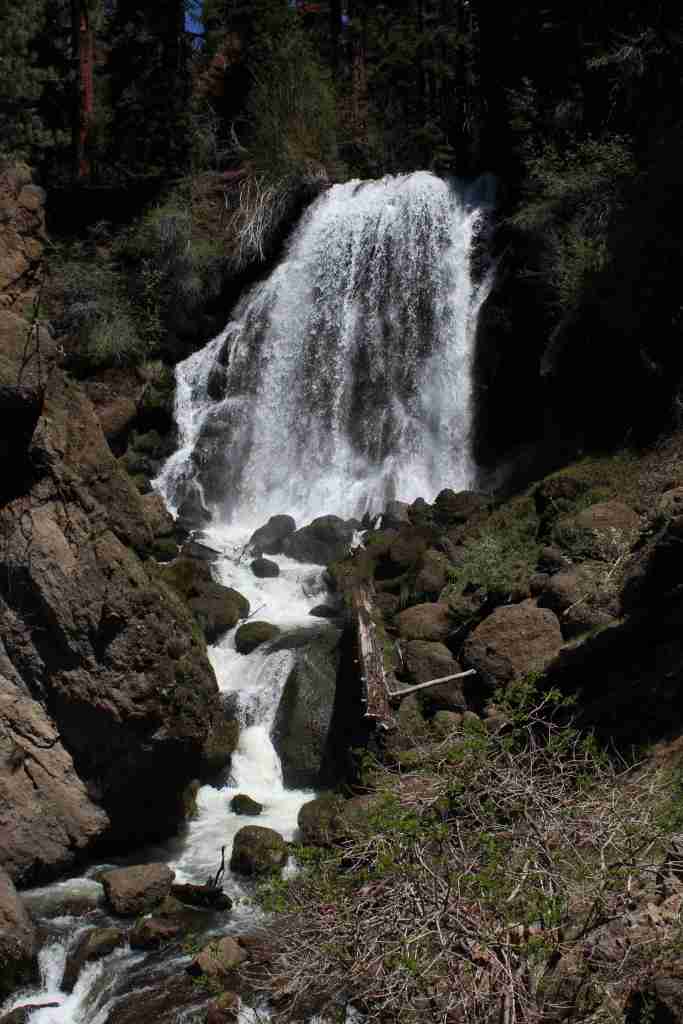
Medicine Lake offers boat ramps, trails, and campgrounds and nearby is Giant Crater, which has the longest known lava tube system in the world at 18 miles (although it is partially collapsed). Located up a dirt road often blocked by snowdrifts late into the summer, Glass Mountain has a crater full of sharp pieces of rhyolite obsidian and glossy dacite. This remote corner of California has some of the darkest skies in the continental U.S., so it is great for stargazing on moonless nights. In the winter, snowmobiling and cross-country skiing are popular activities on groomed trails. The South Warner Mountain Wilderness is traversed by the 21-mile Summit Trail that passes Eagle Peak, the Devil’s Knob, and The Slide. Mill Creek Falls is also in the Warner Mountains, accessed by a 3.4-mile out-and-back trail.
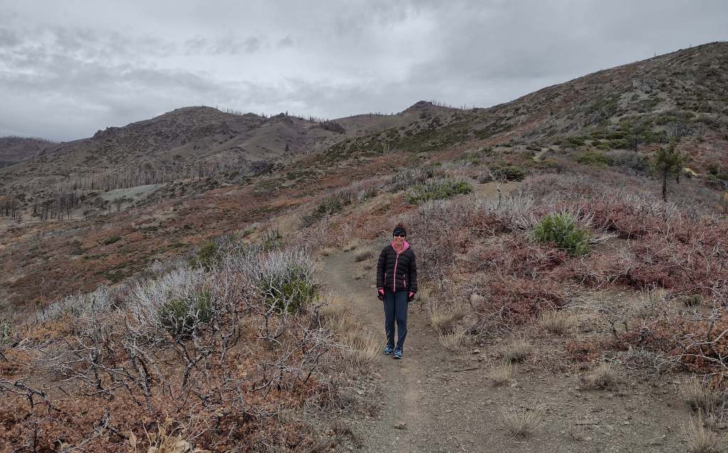
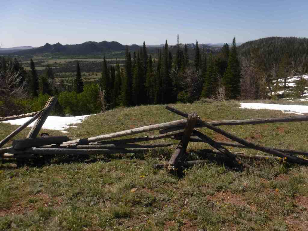
Best Trail
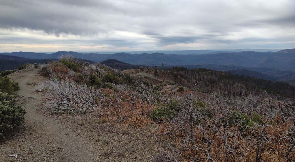
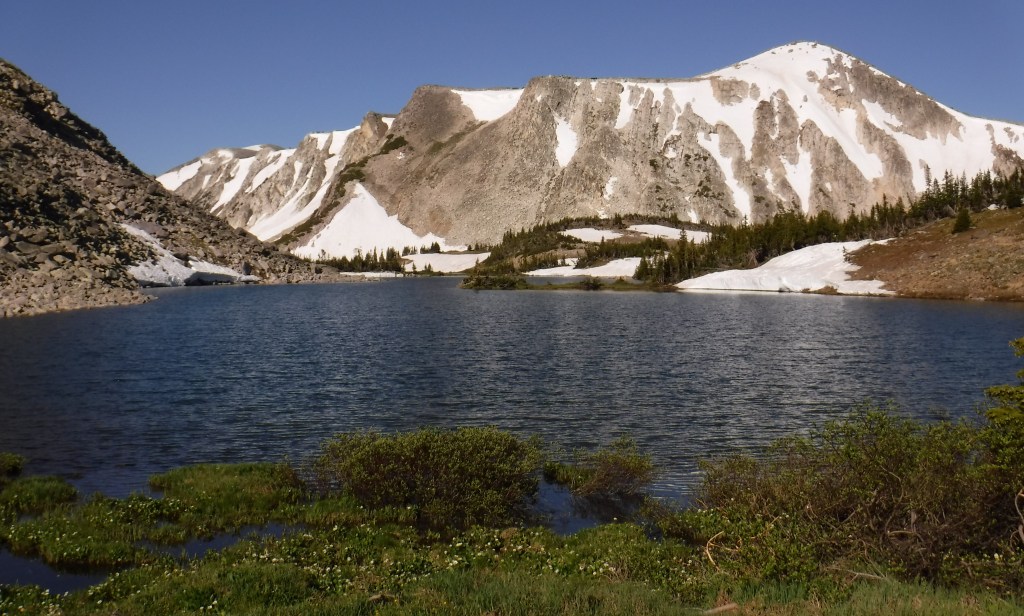
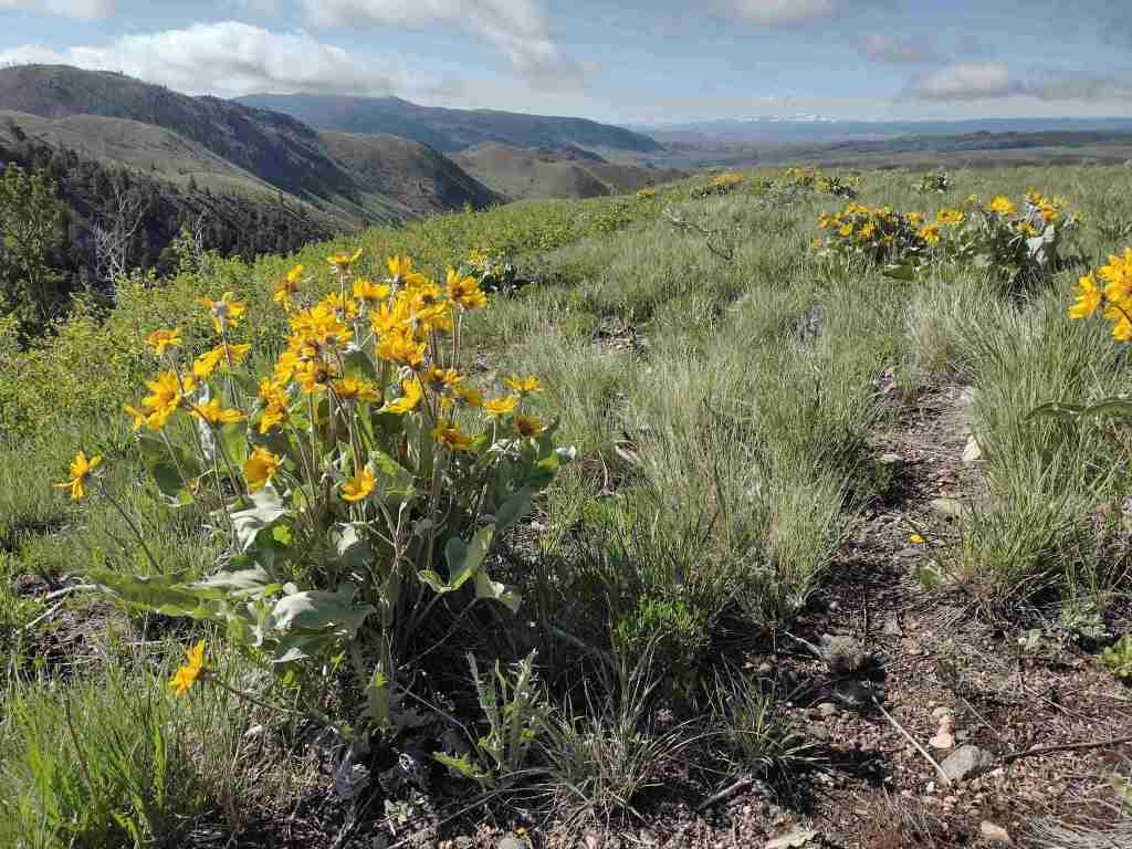
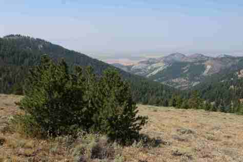
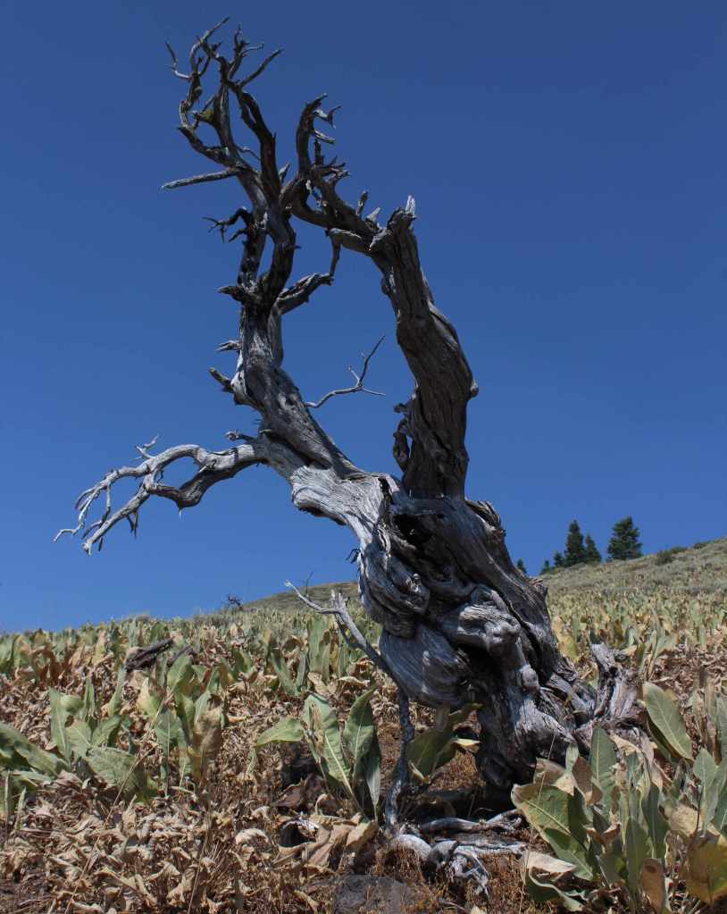
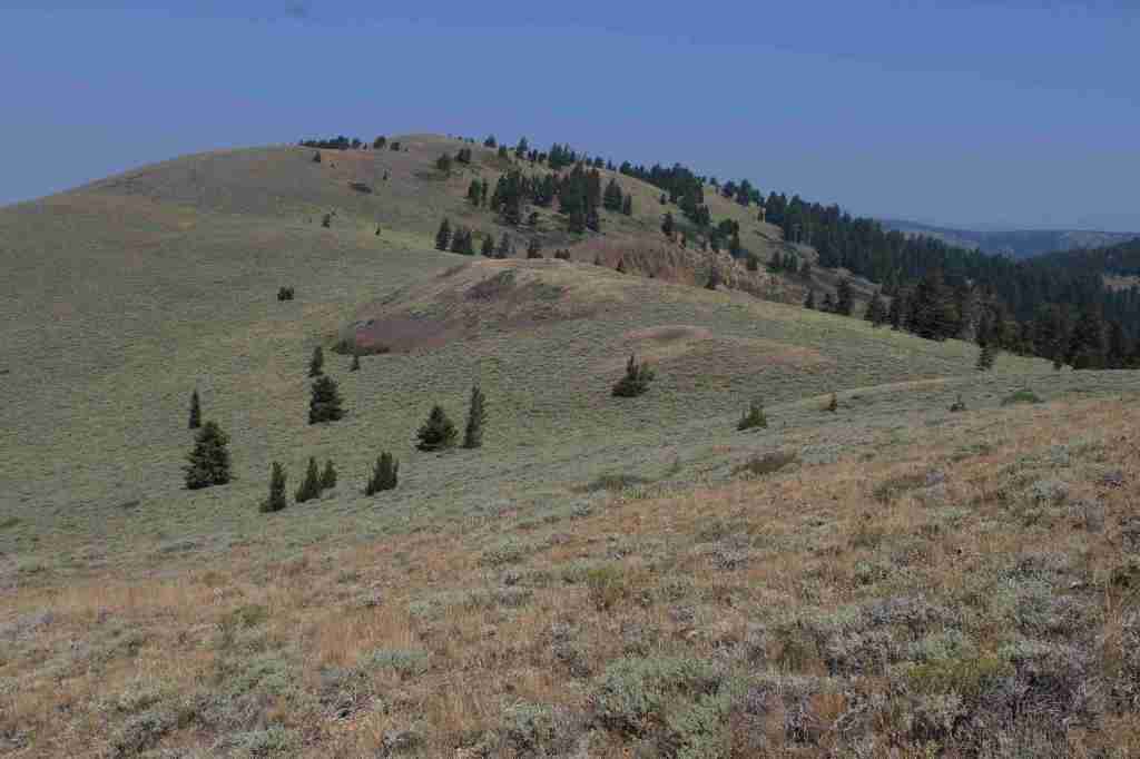
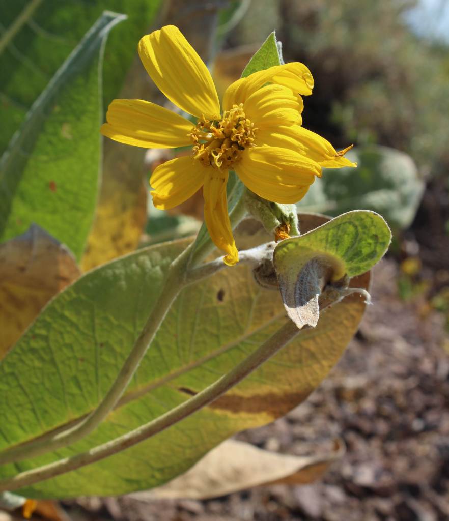
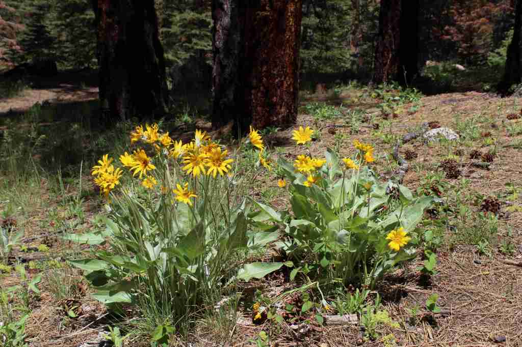
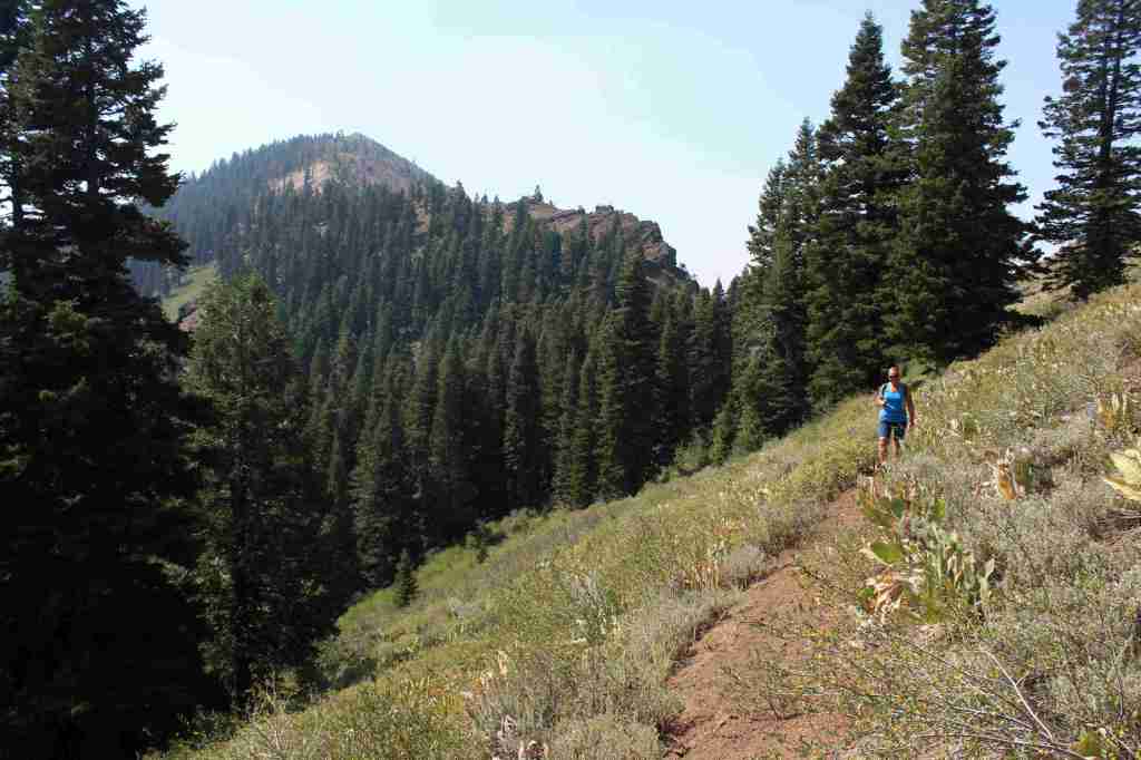
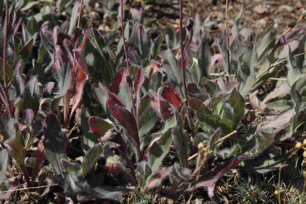
In the Warner Mountains near the border with Oregon’s Fremont National Forest, the 5.5-mile one-way Highgrade National Recreation Trail provides excellent views of Goose Lake. The trailhead is reached by taking paved County Road 9 five miles east from Highway 395 then turning north on the steep and unpaved Del Pratt Spring Road (Forest Road 47N72) for 6.3 miles. The trail quickly leaves the shade of the forest as it steadily climbs 800 feet through a slope covered in woolly mule’s ears flowers to a saddle west of 8,224-foot Mt. Vida. It is possible to summit Mt. Vida from this point, but the trail heads away toward Yellow Mountain following Forest Road 48N10.
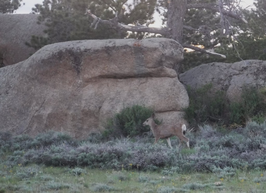
Watchable Wildlife
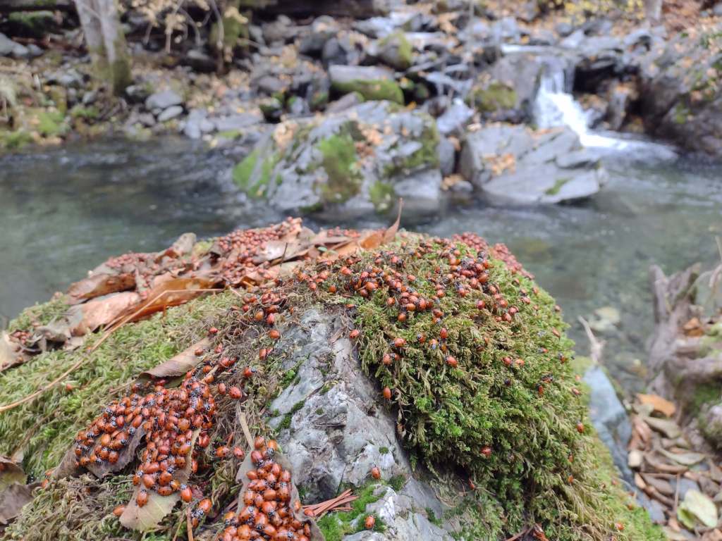
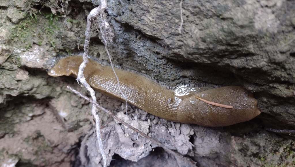
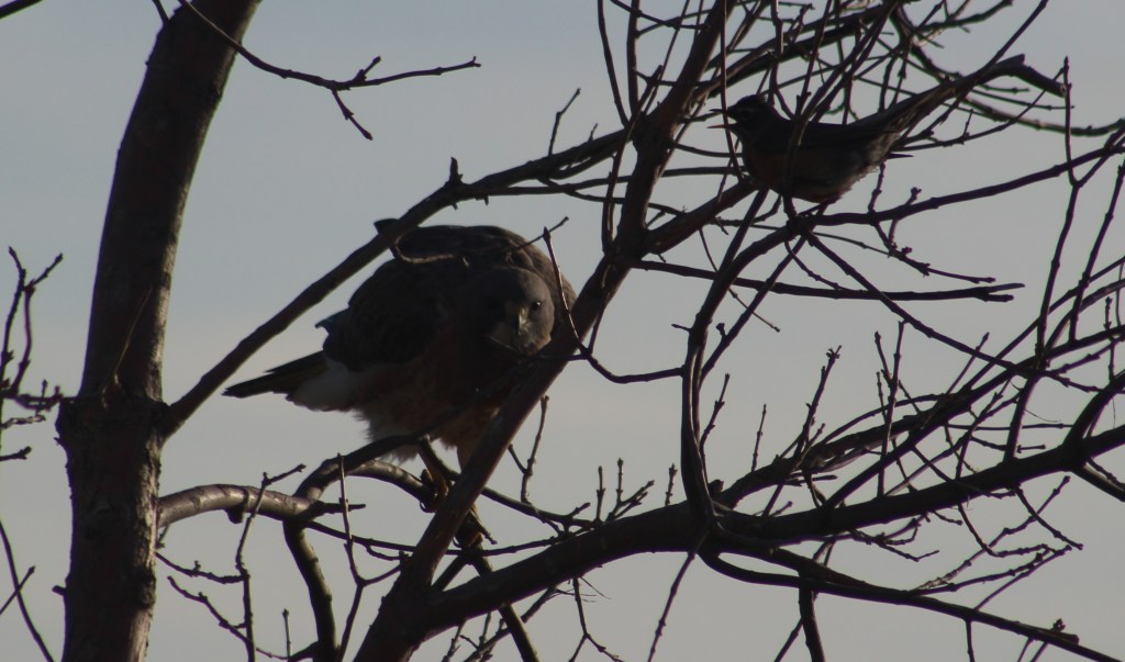
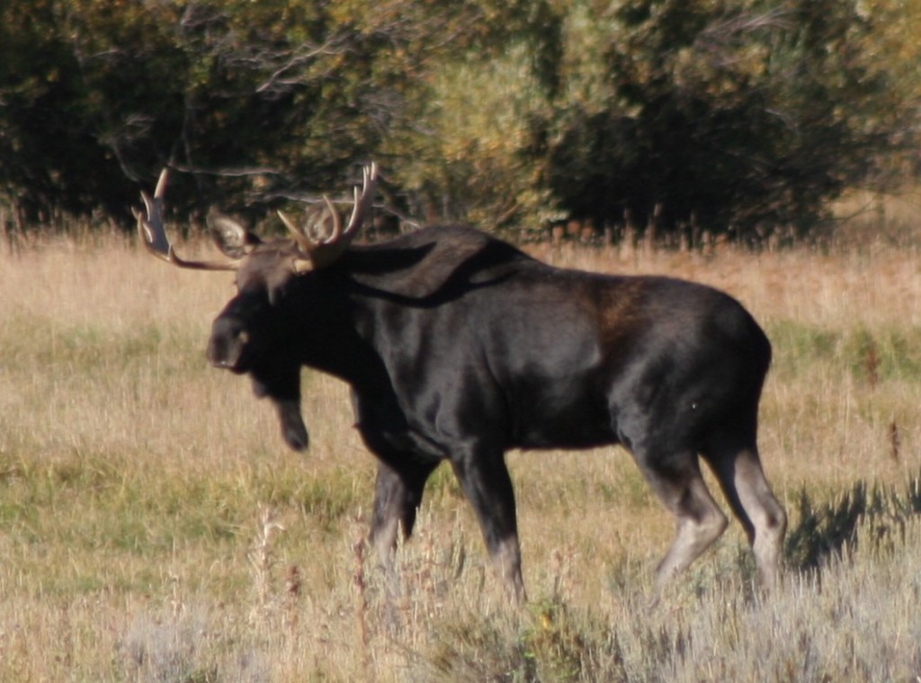
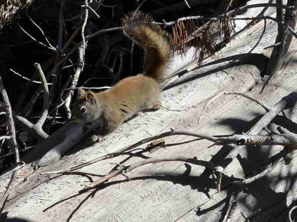
Modoc National Forest borders Lower Klamath National Wildlife Refuge, in addition to Tule Lake, Clear Lake, and Modoc National Wildlife Refuges. These wetlands provide habitat crucial for bird nesting and migration on the Pacific Flyway. The many lava tubes provide habitat for numerous species of bats, in addition to violet-green swallows and bushy-tailed woodrats. Larger mammals include mule deer, pronghorn, badger, skunk, raccoon, pika, jackrabbit, yellow-bellied marmot, coyote, bobcat, and mountain lion. Large birds found here are great horned owl, short-eared owl, and bald eagle (winter resident). Reptiles are abundant, including the western fence lizard, northern sagebrush lizard, western skink, Rocky Mountain rubber boa, gopher snake, desert night, and western rattlesnake.
Photographic Opportunity
Not far up the steep Highgrade National Recreation Trail there are excellent views of Goose Lake to the west.
Peak Season
Summer
Fees
$5 per vehicle (or the America the Beautiful Pass) at Medicine Lake
Road Conditions
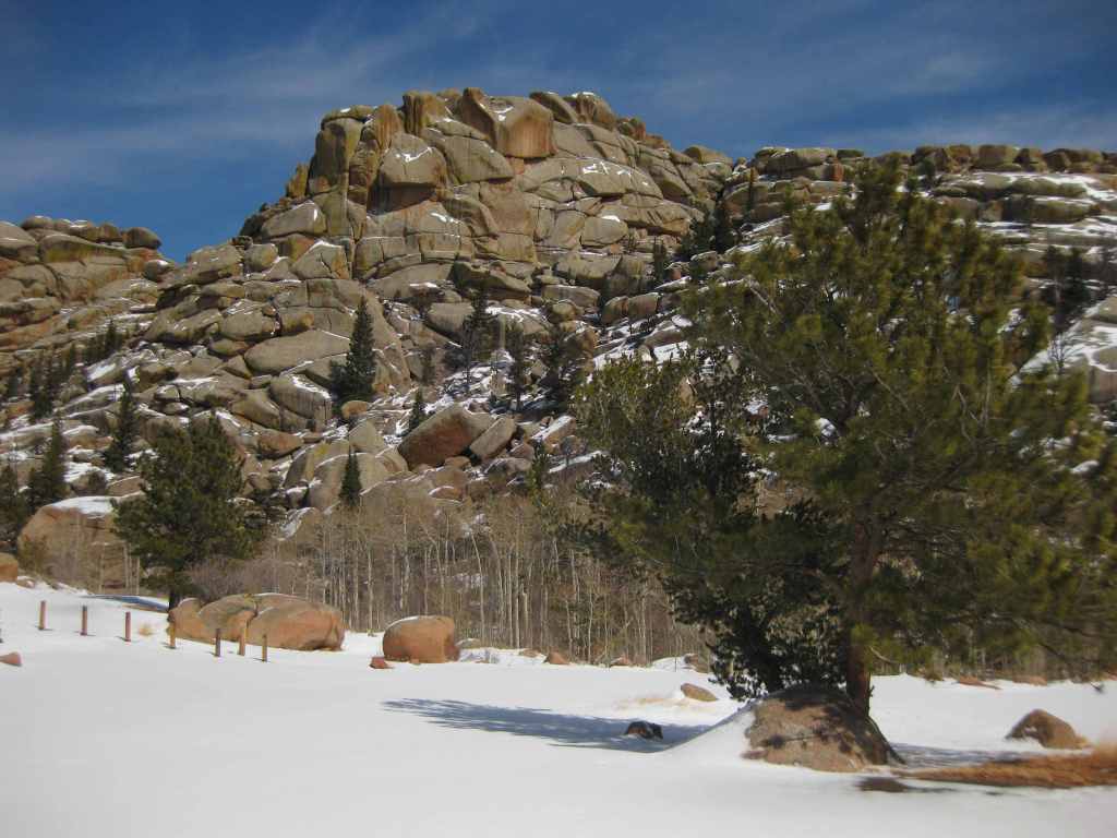
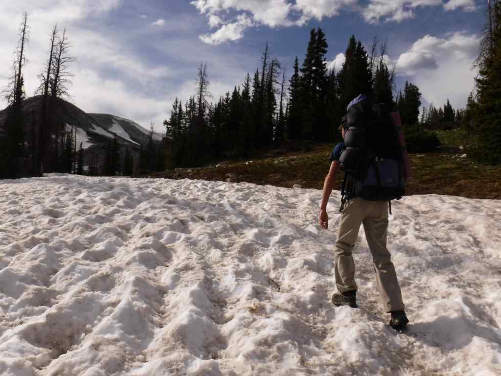
This area receives abundant winter snowfall, and roads can be blocked by snow into July, which we experienced trying to get to Glass Mountain. The road to Medicine Lake is paved, but almost every other road through the National Monument is unpaved, some requiring a high-clearance vehicle. Giant Crater is a Geologic Special Interest Area that can be accessed two miles off Medicine Lake Road on Forest Road 43N11.
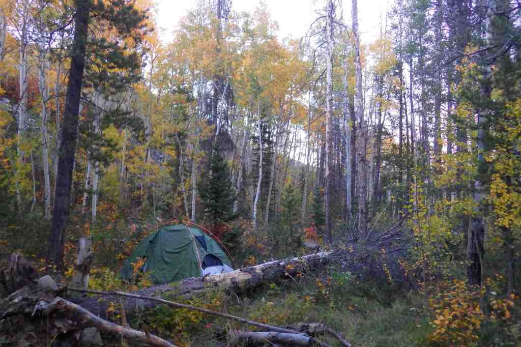
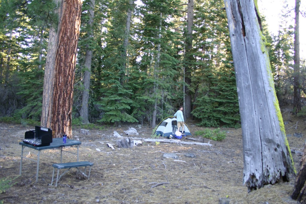
Camping
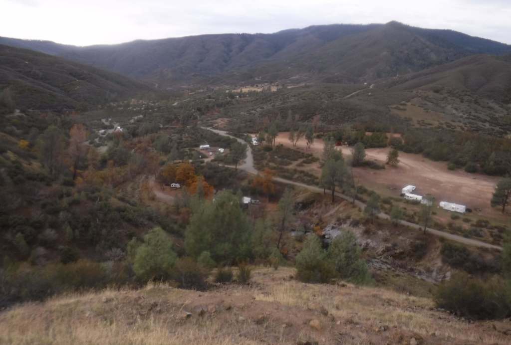
There are multiple Forest Service campgrounds on Medicine Lake, plus two nearby at Blanche Lake and Bullseye Lake. Dirt roads in Modoc National Forest provide ample dispersed campsites.
Wilderness Areas
South Warner Wilderness
Related Sites
Lava Beds National Monument (California)
Tule Lake National Monument (California)
Sáttítla Highlands National Monument (California)
Butte Valley National Grassland (California)
Nearest National Park

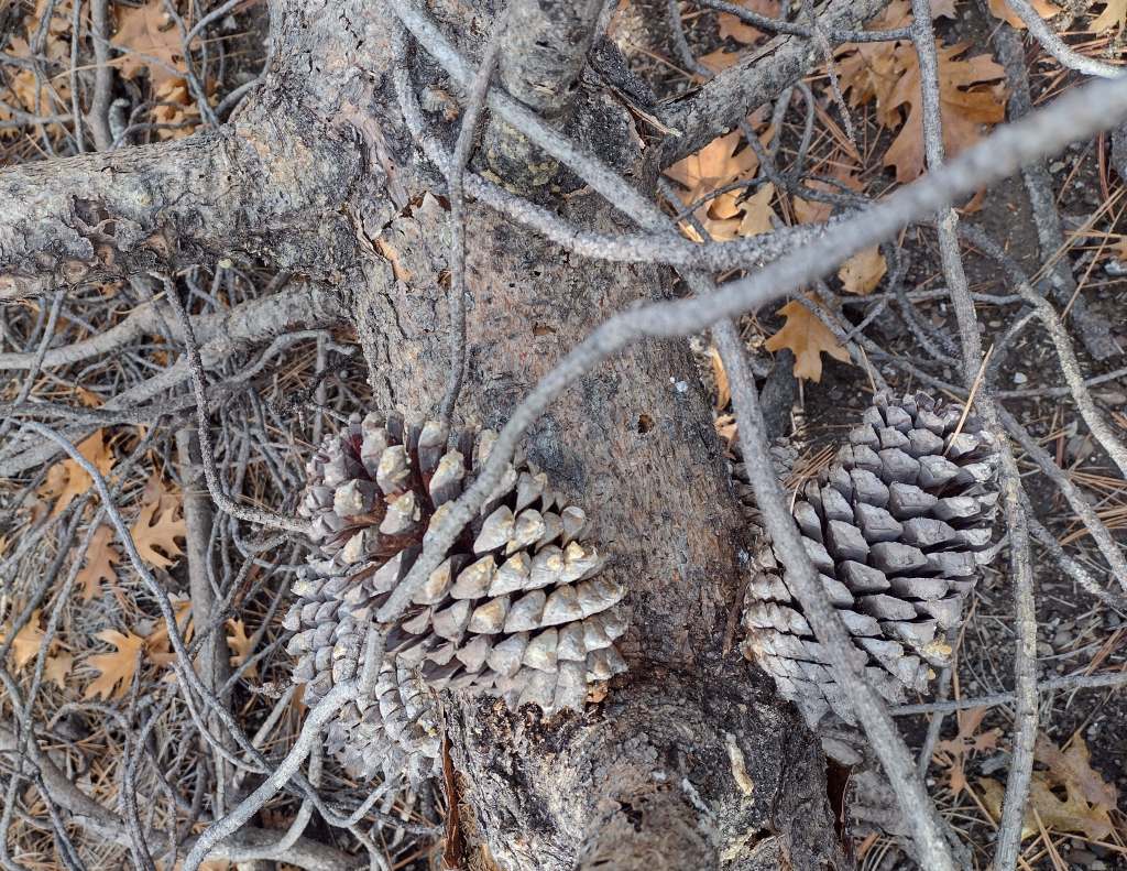
ponderosa pine, whitebark pine, red fir, incense-cedar, white fir, lodgepole pine, western white pine, Jeffrey pine, incense-cedar, western juniper
quaking aspen, curlleaf mountain mahogany, elderberry, sagebrush
Explore More – The Modoc Tribe traditionally lived in this area and the Klamath called them “Moadok Maklaks” that translates as what?

Learn more about this and the 154 other National Forests in our new guidebook Out in the Woods