Overview
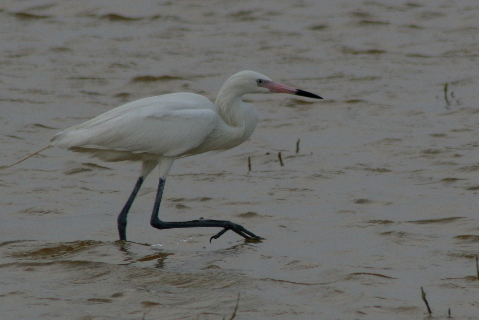
Everglades National Park covers most of the southwestern corner of Florida. The ’Glades are very flat, with elevation topping out at 8 feet above sea level. This region is important to many unique species of wildlife, imperiled by sea level rise and the introduction of exotic species. Incredibly close to the city of Miami, the Shark Valley tram tour offers a great opportunity to see alligators. Near the campground at Flamingo, Eco Pond and Mrazek Pond are both good spots to watch for wading birds like ibis, egret, heron, wood stork, and roseate spoonbill.
Highlights
Eco Pond, Mahogany Hammock, Anhinga Trail, Shark Valley tram tour, Wilderness Waterway
Must-Do Activity
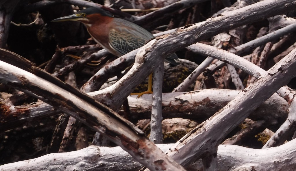
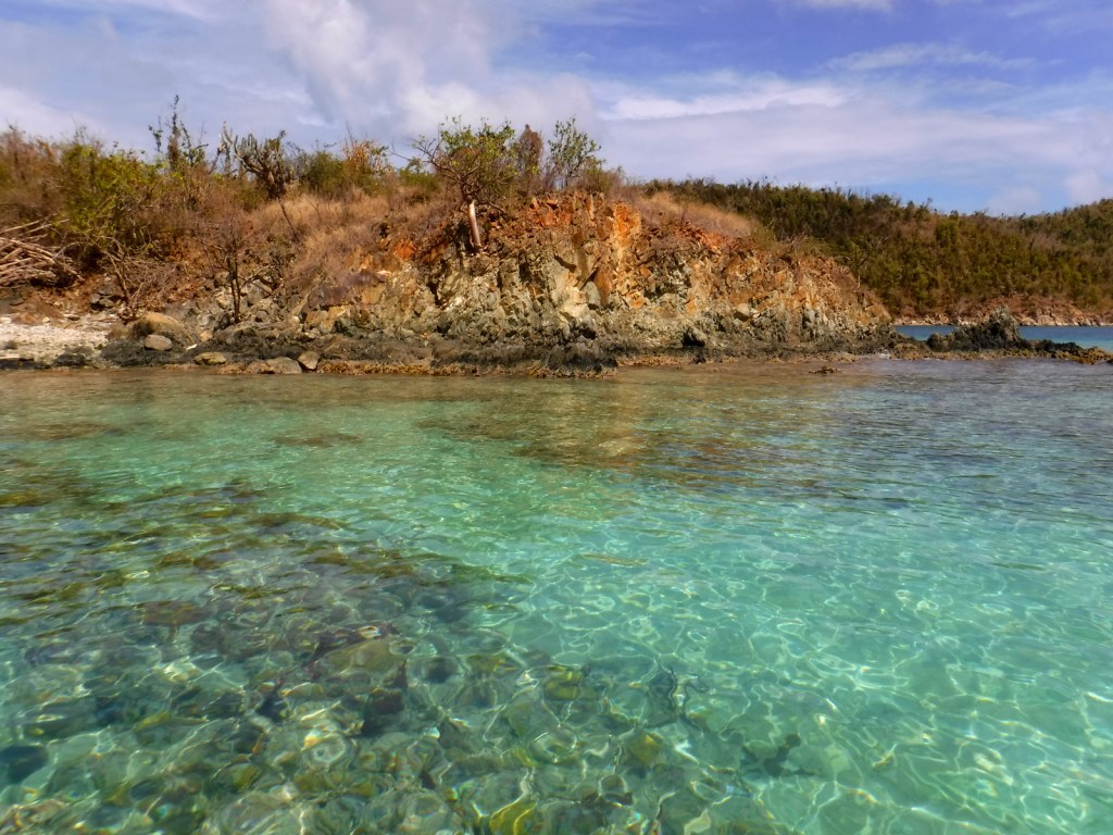
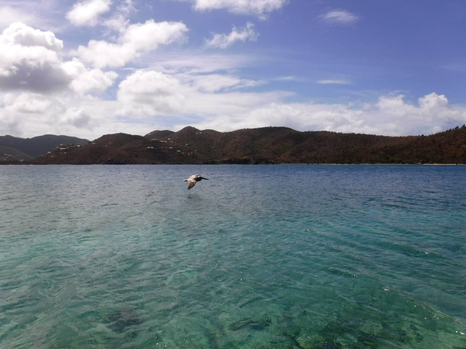
There are few roads in Everglades National Park, so the best way to experience this “river of grass” is from the water. There are guided tours out of Flamingo and Thousand Islands, or you can get a permit to explore the untamed Wilderness Waterway and the keys of Florida Bay. We had a blast navigating the mangrove channels to our chickee (elevated camping platform) and did not see another person for two days. “Hell to get into; hell to get out of” is how old-timers described the mazelike route to Hell’s Bay. Good navigation skills are required and you should come prepared for mosquitoes every month of the year.
Best Trail
On the Anhinga Trail, its namesake birds stretch their wings to dry in pond apple trees while alligators swim right under your feet beneath the boardwalk.
Instagram-worthy Photo
Wildlife abounds so you will want to remember to bring your binoculars and a zoom lens for your camera. You can get good photos of alligators while remaining safe and dry on the Anhinga Trail boardwalk. We also got very close to a barred owl and several black vultures on the same trail in April 2014.

Peak Season
Winter
Hours
https://www.nps.gov/ever/planyourvisit/hours.htm
Fees
$30 per vehicle or America The Beautiful pass
Road Conditions
The major entry roads are paved to access Flamingo, Thousand Islands, and Shark Valley.
Camping
Camping in the park, at Long Pine Key or Flamingo, provides quick access to trails that come alive with wildlife during the crepuscular hours (sunrise and sunset).

Tiff photographing a gator on the Anhinga Trail 

The mangroves are very maze-like 
A view of our chickee from the water 
A dolphin surfacing in Hell’s Bay 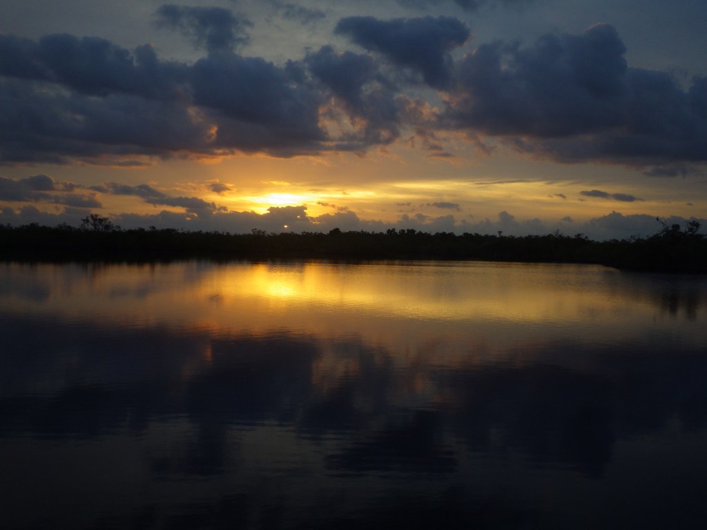
Sunrise from our chickee — for sale on Imagekind 
A barred owl 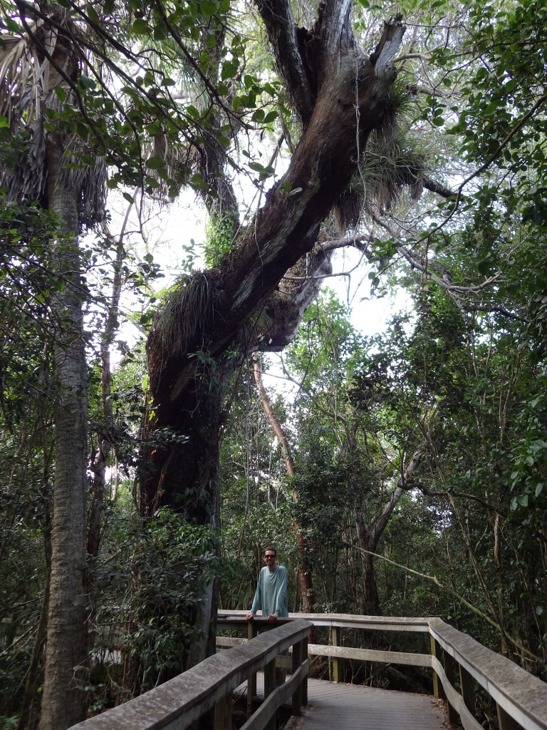
Scott on the Mahogany Hammock Trail 
Scott and Tiff at Flamingo 
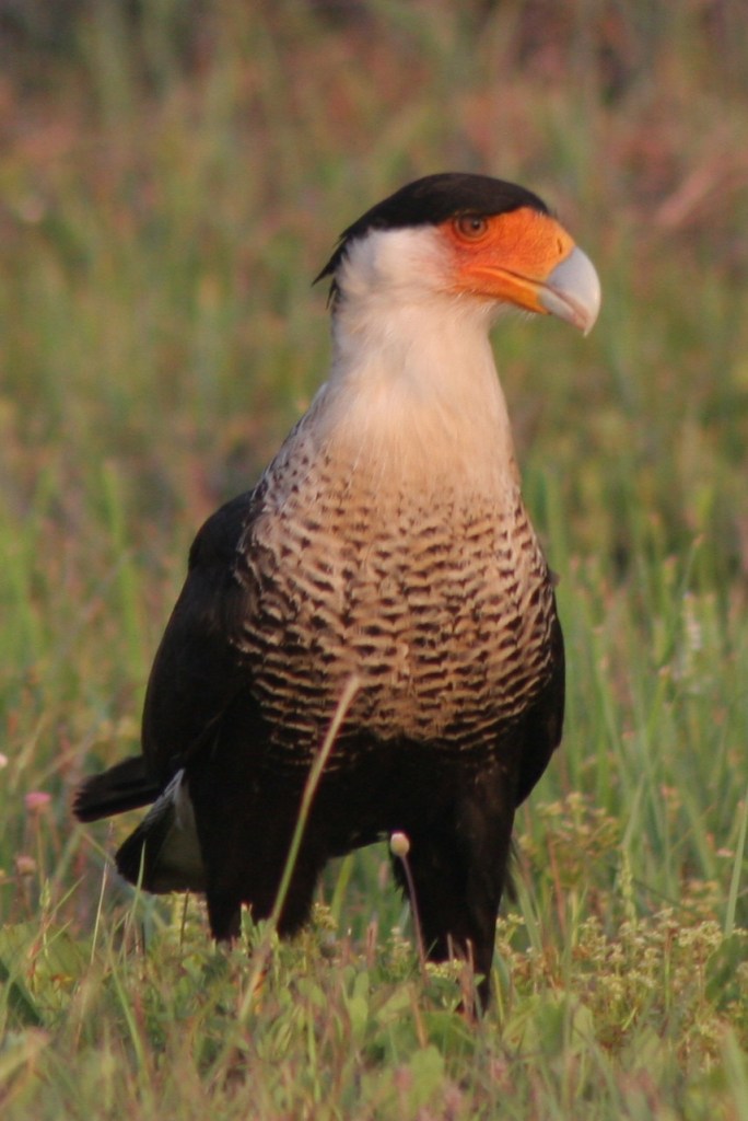
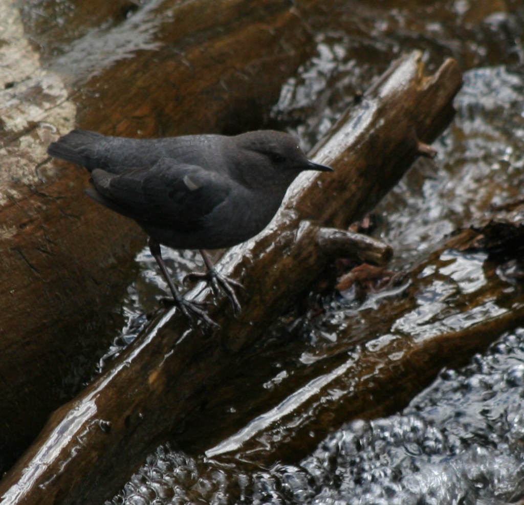
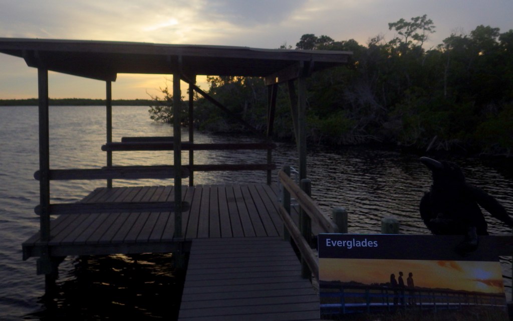
Crow in Everglades National Park


Explore More – Who was the woman instrumental in the creation of Everglades National Park when she published The Everglades: River of Grass in 1947?


We are a participant in the Amazon Services LLC Associates Program, an affiliate advertising program designed to provide a means for us to earn fees by linking to Amazon.com and affiliated sites.