Overview
When most people think of Texas they do not think of the bayou, but since 1974 this unique ecosystem and eight others were preserved in several units in the southeastern portion of the state. The Big Thicket once covered 3.5-million acres, however, now only 112,000 acres is protected by the National Park Service (NPS) in 15 remnant sections. Here you can also discover longleaf pine savannah, saltwater estuaries, and wetlands harboring carnivorous plants. Understandably, the region is noted for its high biodiversity, highlighted by 85 tree species, 20 orchids, and wildlife as dissimilar as alligators and roadrunners.

Highlights
Kirby Nature Trail, Pine Island Bayou, Cooks Lake Paddling Trail, Neches River, birding
Must-Do Activity
We recommend you start by learning about the nine different ecosystems within the preserve at the NPS visitor center located eight miles north of Kountze, Texas. The best way to get to know Big Thicket National Preserve is on the water. Motorboats are allowed in most units, but paddling is preferred for exploring the shallow bayous. Lined with baldcypress trees, Pine Island Bayou is best explored by kayak or canoe, as is the Cooks Lake Paddling Trail (a five mile loop). It is also possible to float the park’s 80 miles of the Neches River depending upon the amount of water released from B.A. Steinhagan Lake.
Best Trail
There are 40 miles of hiking trails, but it may be best to start with the Kirby Nature Trail near the NPS visitor center in Kountze, Texas. Also located in the Turkey Creek Unit, the short Pitcher Plant Trail is best in the spring when the carnivorous plants bloom in the wet savanna.
Instagram-worthy Photo
Inside the NPS visitor center located eight miles north of Kountze, Texas, you can pose with a giant-sized pitcher plant model.

Peak Season
Fall and spring to avoid peak mosquito season.
Hours
https://www.nps.gov/bith/planyourvisit/hours.htm
Fees
None
Road Conditions
The main access roads are paved, but some boat launches may be dirt.
Camping
The NPS offers free backcountry permits, but the nearest campgrounds are at Village Creek State Park and B.A. Steinhagan Lake (managed by the U.S. Army Corps of Engineers).
Related Sites
Jean Lafitte National Historical Park and Preserve (Louisiana)
Big Cypress National Preserve (Florida)
Everglades National Park (Florida)

Tiff hiking the Kirby Nature Trail 
Baldcypress “knees” are often submerged along this section of the Kirby Nature Trail. 

Can you see the tiny frog? 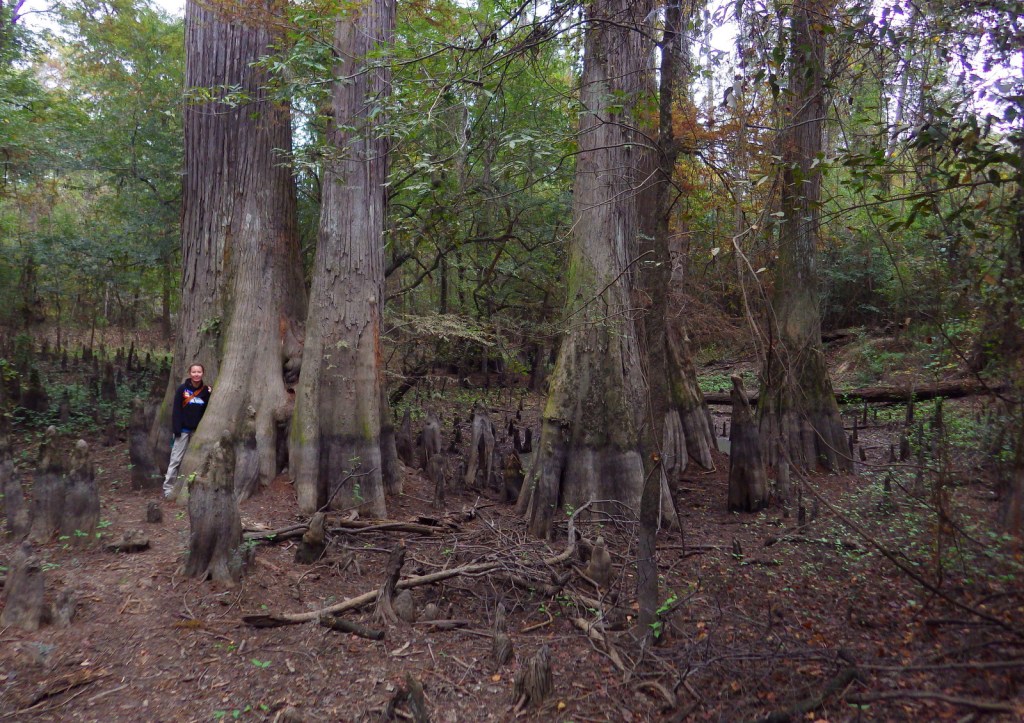
Baldcypress “knees” help the trees survive living in the bayou. 
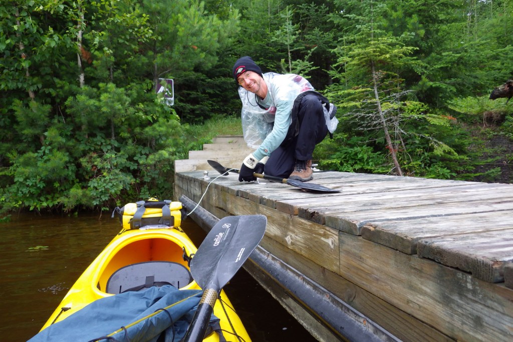
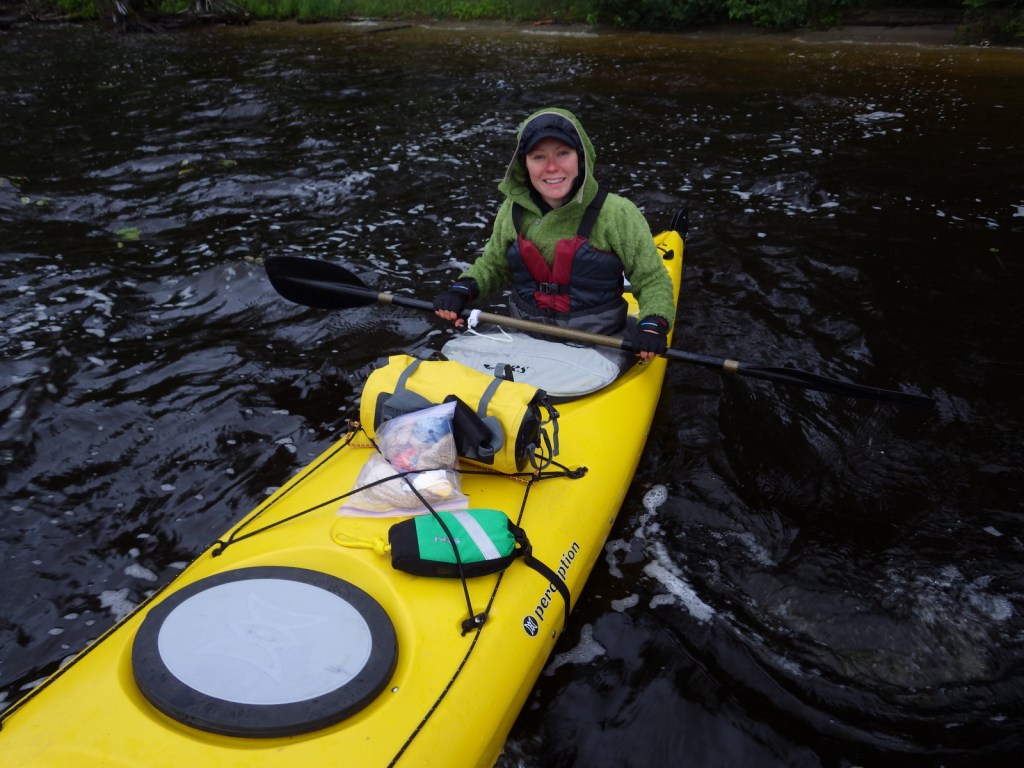
Scott paddling in Pine Island Bayou 
A barred owl in Pine Island Bayou 


Baldcypress trees line he main channel of Pine Island Bayou
Explore More – In addition to pitcher plants, how many other carnivorous plant species are found in Big Thicket National Preserve?