Overview
The first battle of the Mexican-American War took place on May 9, 1846 north of the Rio Grande near present-day Brownsville, Texas. General Zachary Taylor and a young Ulysses S. Grant (both future presidents) led U.S. troops during this engagement. Palo Alto Battlefield National Historical Park was established in 1991 across 3,400 acres, and in 2011 an additional 38 acres were added in the heart of Brownsville to commemorate the Resaca de la Palma Battlefield. Plus, a few earthen mounds remain of Fort Texas (later renamed Fort Brown) near a golf course on the campus of the University of Texas at Brownsville.

Highlights
Museum, film, cannons, interpretive trail
Must-Do Activity
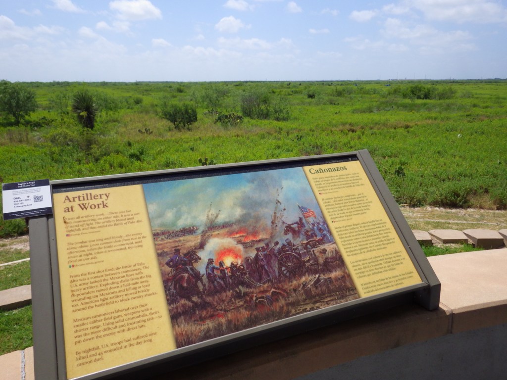
The 1846 battle was primarily an artillery conflict, so there are many cannons at Palo Alto Battlefield National Historical Park today showing how close the battle lines were. This skirmish and a subsequent fight at Resaca de la Palma pushed Mexican troops back across the Rio Grande for the remainder of the two-year long war. History buffs will also be interested in the Civil War history of this region, including the final battle of the war fought May 12-13, 1865 at Palmito Ranch. Information about all of these sites can be found at the small yet nice visitor center that opened here in 2003.
Best Trail
A half-mile paved interpretive trail leads through the battlefield from the visitor center. While here you can also learn about Harris’s hawks, horned lizards, javelinas, and other remarkable species that live in the area and the surrounding Laguna Atascosa National Wildlife Refuge.
Instagram-worthy Photo
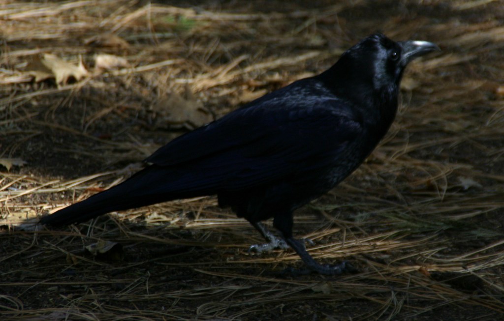
If you make it to this remote southern corner of the United States, make it a point to take a guided tram tour through Resaca de la Palma State Park. The park is a great place to see bird species found nowhere else in the country, like the great kiskadee (pictured) and rose-throated becard.

Peak Season
Spring and fall
Hours
https://www.nps.gov/paal/planyourvisit/hours.htm
Fees
None for the NPS site, but there is an admission fee at Resaca de la Palma State Park.
Road Conditions
All roads paved
Camping
There are several private campgrounds around Brownsville, Texas.
Related Sites
Chamizal National Memorial (Texas)
Big Bend National Park (Texas)
Amistad National Recreation Area (Texas)
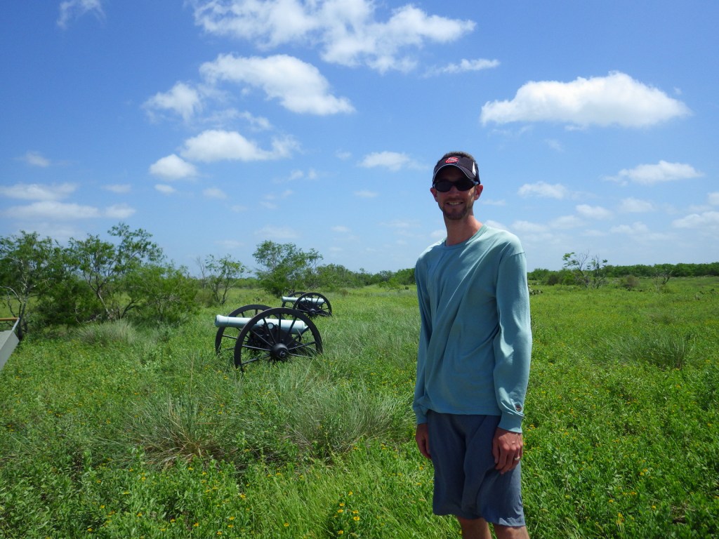
Scott with cannons 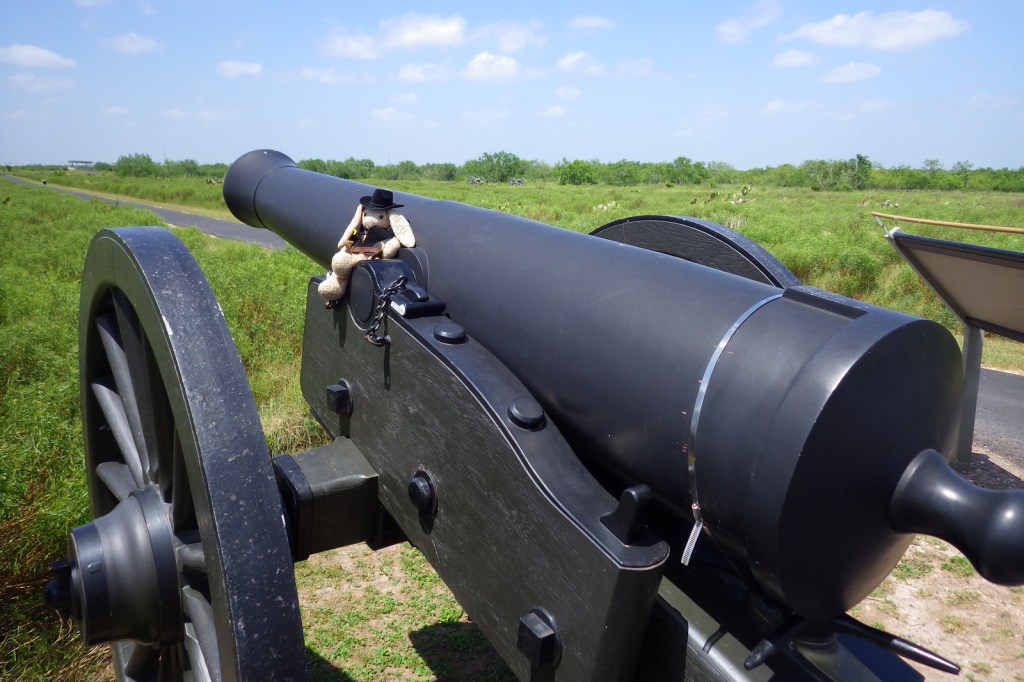

Tiff on the paved interpretive trail 

Bird nest in a cannon 
Prickly pear cactus in bloom 

Juvenile Harris’s hawk 
Egrets at Resaca de la Palma State Park 
Explore More – Who was the president that campaigned on the platform of extending the U.S. border to the Pacific Ocean and subsequently annexed Texas in 1845 (fomenting the Mexican-American War)?