Carson National Forest
New Mexico
Managed by U.S. Forest Service, Southwestern Region
1,490,468 acres (1,391,674 federal/ 98,794 other)
Website: https://www.fs.usda.gov/carson
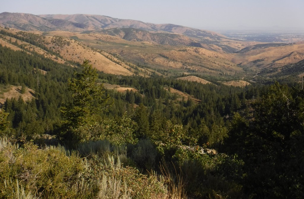
Overview
Carson National Forest is spread across the Sangre de Cristo Mountains that run 200 miles from northern New Mexico into southern Colorado’s Rio Grande and San Isabel National Forests. In 1982, the Pennzoil Corporation donated the Valle Vidal Unit (about 100,000 acres) to the Forest Service. A decade earlier, the Taos Pueblo successfully lobbied to return sacred Blue Lake to the tribe and remove it from Carson National Forest.

Highlights
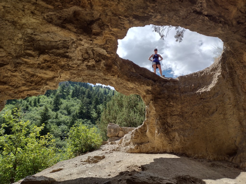
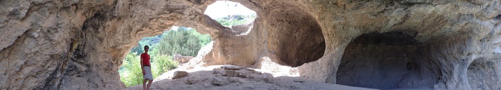
Enchanted Circle Scenic Byway, Wheeler Peak, Clayton Pass, Vista Grande, Brazos Ridge Overlook, Canjilon Lakes, Lobo Peak, Echo Amphitheater, Cabresto Lake, Pot Creek Cultural Site, Amole Canyon, Devisadero Loop Trail, Continental Divide National Scenic Trail, Columbine-Twining National Recreation Trail
Must-Do Activity
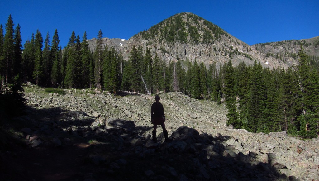
The National Forest contains New Mexico’s highest point (13,161-foot Wheeler Peak) near Taos Ski Valley, one of several ski resorts found here. The gravel parking lot fills up early on summer weekends, as those looking to summit want to finish before afternoon thunderstorms. If a 14-mile roundtrip hike with 3,771 feet of elevation gain sounds too strenuous, there are plenty of other trails around Taos Ski Valley listed below.
Best Trail
There is an extensive trail system that spiders out from Taos Ski Valley, including several that follow canyon streams and access small mountain lakes. We recommend the Bull of the Woods Trail if you want to avoid the crowds summiting Wheeler Peak. Other hiking options in the area include Williams Lake, Long Canyon, Lobo Peak, and Goose Lake.
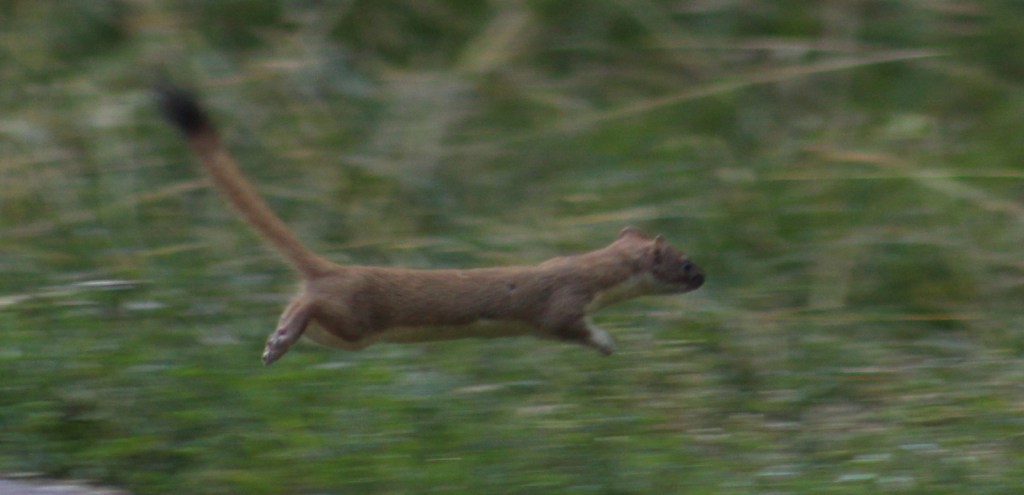
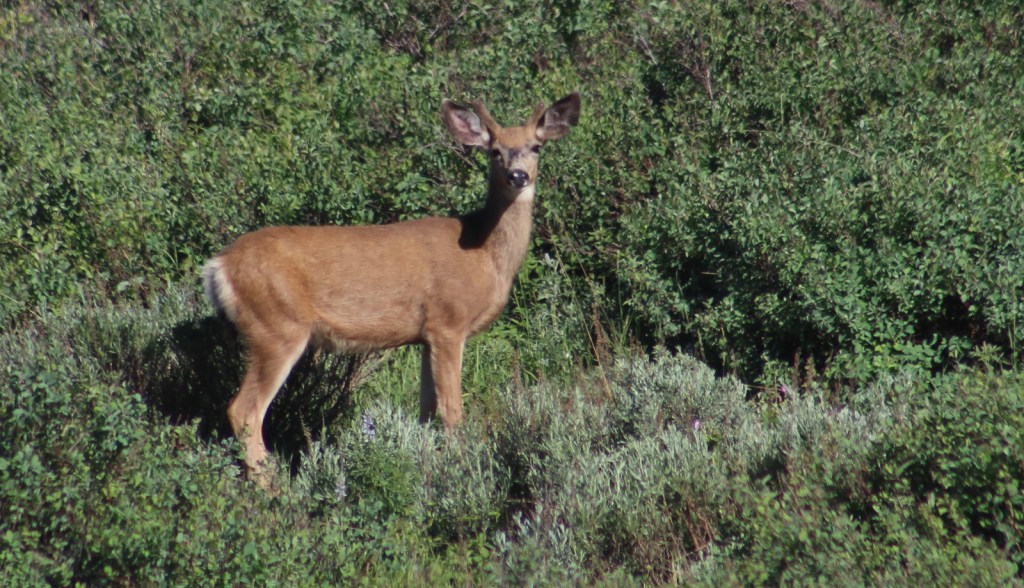
Watchable Wildlife
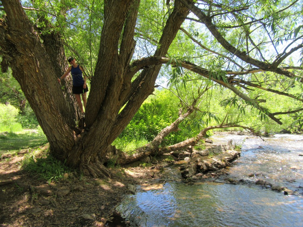
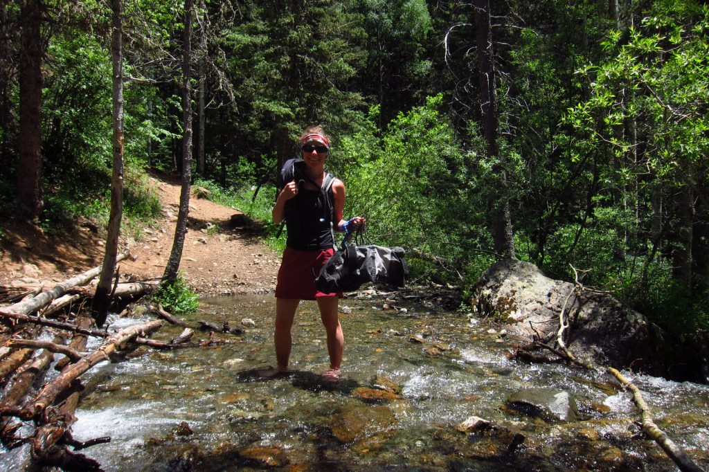
Mule deer, elk, pronghorn, and bighorn sheep are large ungulates found in Carson National Forest. Its carnivores include black bears, coyotes, red foxes, bobcats, and mountain lions. The National Forest’s lakes and 400 miles of rivers and streams are mostly stocked with native trout species.
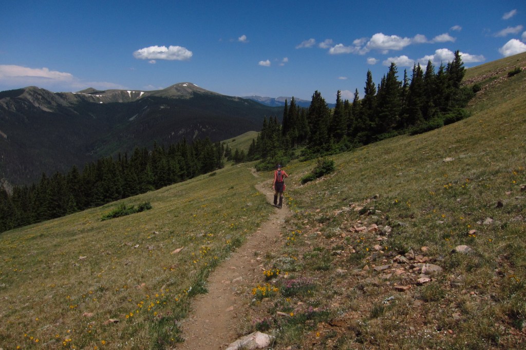
Instagram-worthy Photo
Alpine views abound on the hike up to 13,161-foot Wheeler Peak, the highest point in New Mexico.

Peak Season
Summer
Fees
None
Road Conditions
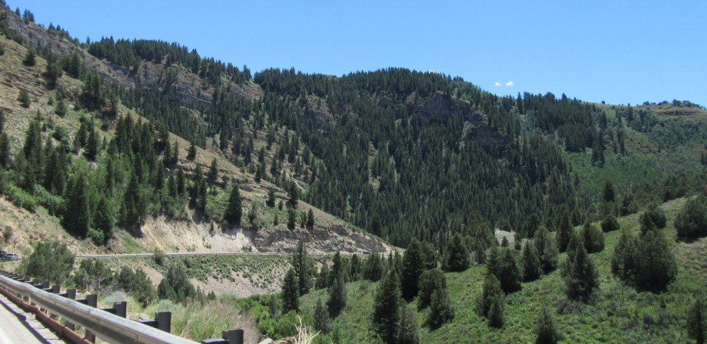
State Highway 150 is paved to Taos Ski Valley except for the very end, which is a good gravel road (as is FR 597 north of Red River).
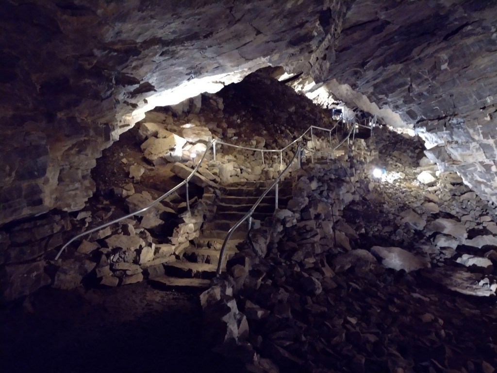
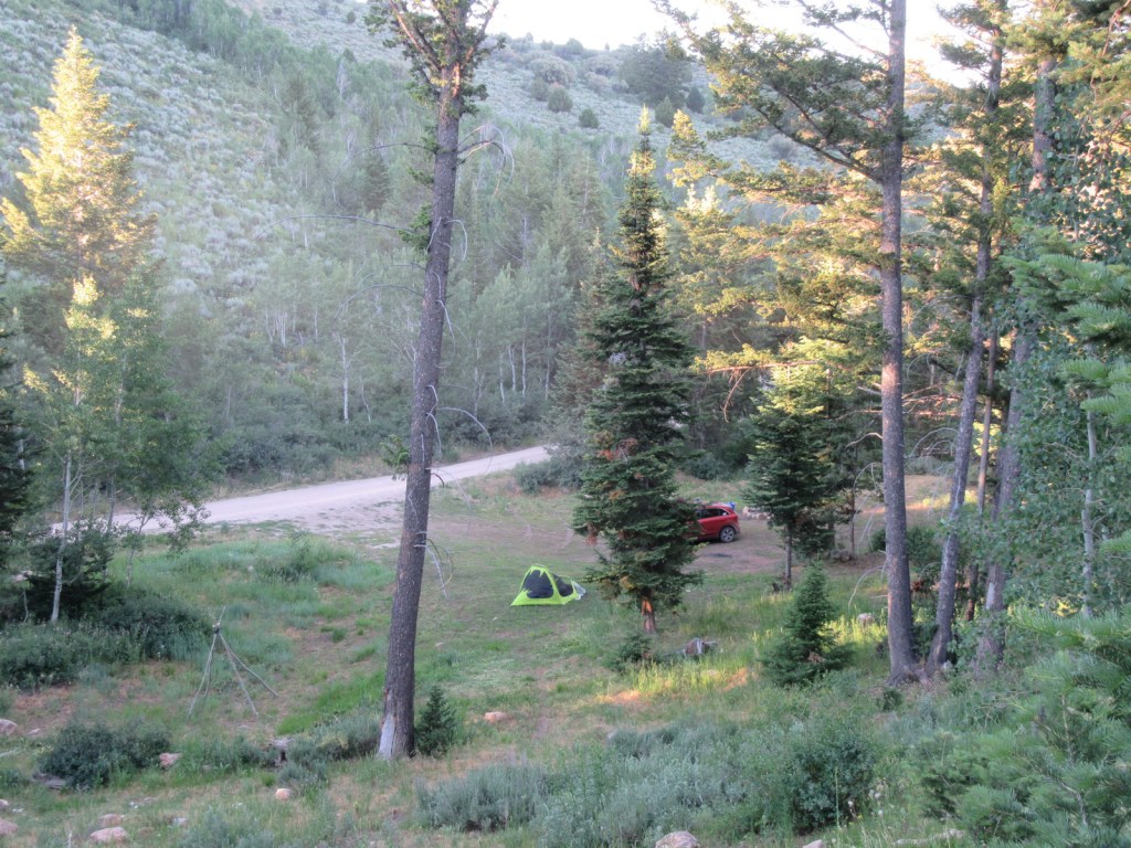
Camping
There are many great places to camp in Carson National Forest, with notable areas being Elephant Rock Campground, Hopewell Lake Campground, and several campgrounds around the Canjilon Lakes. We set up a dispersed camp near a high mountain pass on FR 597 above the town of Red River in the summer.
Wilderness Areas
Chama River Canyon Wilderness (also in Santa Fe National Forest)
Cruces Basin Wilderness
Latir Peak Wilderness
Pecos Wilderness (also in Santa Fe National Forest)
Wheeler Peak Wilderness
Related Sites
Pecos National Historical Park (New Mexico)
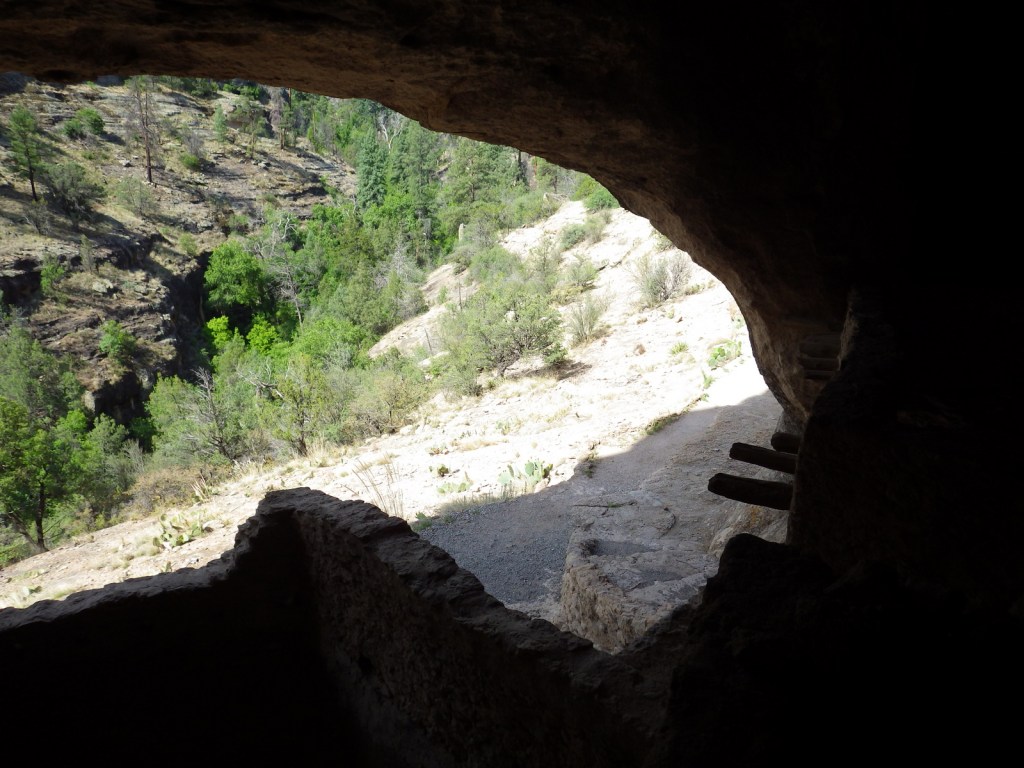
Bandelier National Monument (New Mexico)
Fort Union National Monument (New Mexico)
Nearest National Park


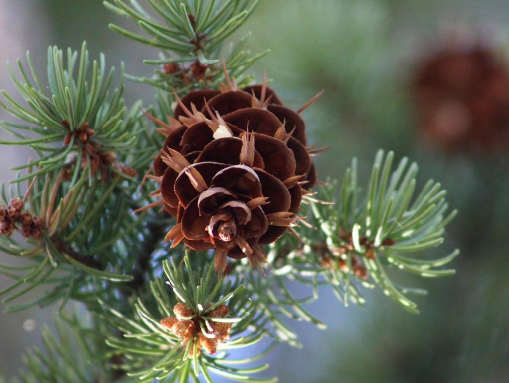
Conifer Tree Species
Engelmann spruce, limber pine, Rocky Mountain bristlecone pine, two-needle pinyon pine, ponderosa pine, Douglas-fir, white fir, subalpine fir
Flowering Tree Species
Gambel oak, quaking aspen, bigtooth maple, boxelder, New Mexico locust, Fremont cottonwood, netleaf hackberry
Explore More – Who was the U.S. President that pushed through Congress the Taos Pueblo appeal to return Blue Lake?


Learn more about Carson and the 154 other National Forests in our new guidebook Out in the Woods

We are a participant in the Amazon Services LLC Associates Program, an affiliate advertising program designed to provide a means for us to earn fees by linking to Amazon.com and affiliated sites.