It is gift buying season again, so we decided to take a shot at a list of ideas for that special someone in your life who loves National Parks. There are currently 63 National Parks among the 430+ units in the National Park Service (NPS) system, which are the main focus of these items. Click here to see all of our Top 10 Lists, including some book lists that may help you find a special gift for your favorite reader. As always, products we have created are available under the Shop tab above. We also have a Pinterest board for National Parks gift ideas, as well as one for those harder-to-find National Forest gifts.

10. Postcards
For someone on the quest to visit all 63 National Parks, pick up a packet of postcards showcasing all of them (or a set of notecards highlighting their favorite one so far)

9. Quarters
The U.S. Mint finished releasing its America the Beautiful series in 2021; there are books and maps highlighting all 56 quarters (and you can buy the entire set for little more than the coins value)
8. Stuffies
Seeing wildlife is a big draw to most of the large National Parks, so what better way to remember an encounter than a stuffed animal version?
7. Coasters
We often purchase a Lantern Press coaster from the National Park Service bookstore during our visits, but there are also sets for sale online
6. Games
If your lover of National Parks likes board games, there are branded versions of the classics (like Yahtzee and Monopoly) or original games available


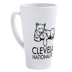
5. Mugs
Why not recall a favorite park every time you enjoy a hot beverage?
4. Jewelry
Artists on Etsy offer some awesome jewelry highlighting the National Parks, including coin-rings and bracelets

3. Guidebooks
Especially if your National Parks lover is just getting started, a good guidebook can help with planning the travel logistics

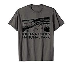
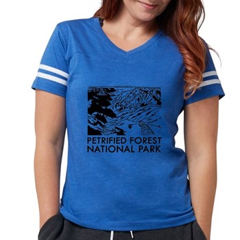
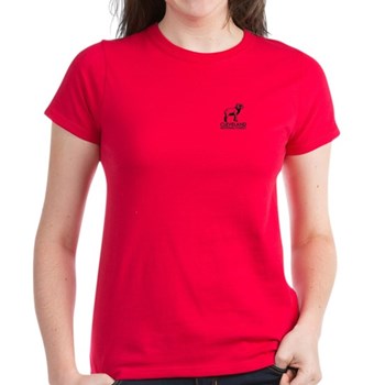
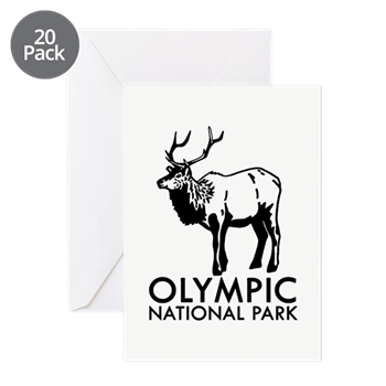
2. Clothing
T-shirts, hoodies, socks, and anything else people wear have all been emblazoned with National Park logos and images
…and finally our #1 gift for National Park lovers:
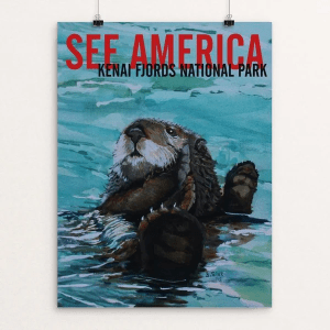
1. Posters
Artwork or photographs of our beautiful National Parks make a great gift and there are an overwhelming number of options (try starting at Creative Action Network)
Honorable Mentions
Calendar
There are many nice calendars published every year with artwork or photographs from our wonderful National Parks
Puzzles
Jigsaw puzzles had a renaissance during the pandemic and there are plenty of National Park-themed options
Blanket
There are some cool ways to keep warm under a stylish National Park blanket, like one from Rumpl
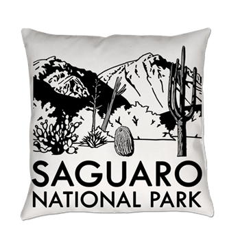

Pillow
Why not add a throw pillow to go with that new National Park blanket?
Map
For someone on the quest to visit all 63 National Parks, they can track their progress on a map or scratch-off list
Photo album or photo board
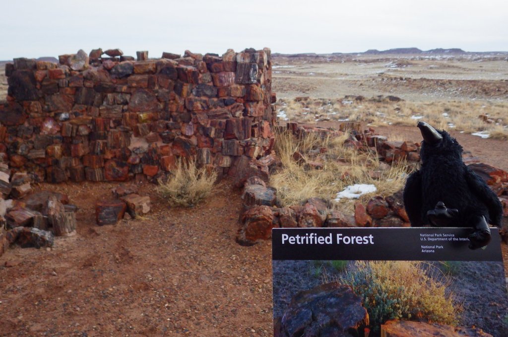
We passport stamp all of the “unigrid” pamphlets (like the ones Echo the Raven poses with for each NPS blog post) from the parks and collect them in a photo album (actually three since we have visited 378 units so far)
We are a participant in the Amazon Services LLC Associates Program, an affiliate advertising program designed to provide a means for us to earn fees by linking to Amazon.com and affiliated sites.