Overview
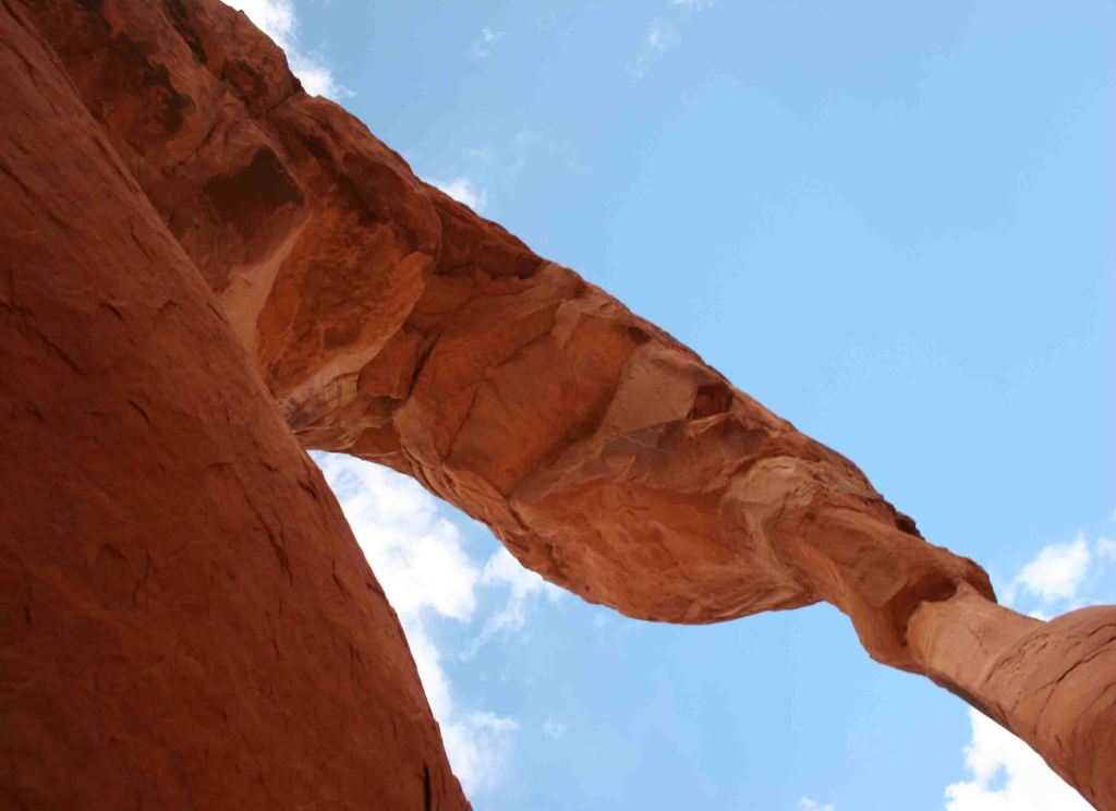
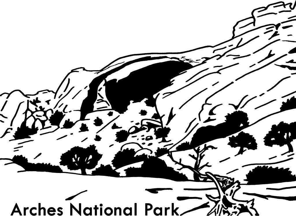
South of Canyonlands National Park is isolated Natural Bridges National Monument. First established by President Theodore Roosevelt in 1908, it was not accessible by road until uranium mining developed this part of Utah in the 1950s. As you may recall from our post on Arches National Park, bridges are created by flowing water, unlike arches that are primarily carved by wind.

Highlights
3 huge natural bridges, scenic views, ruins, hiking, stargazing
Must-Do Activity
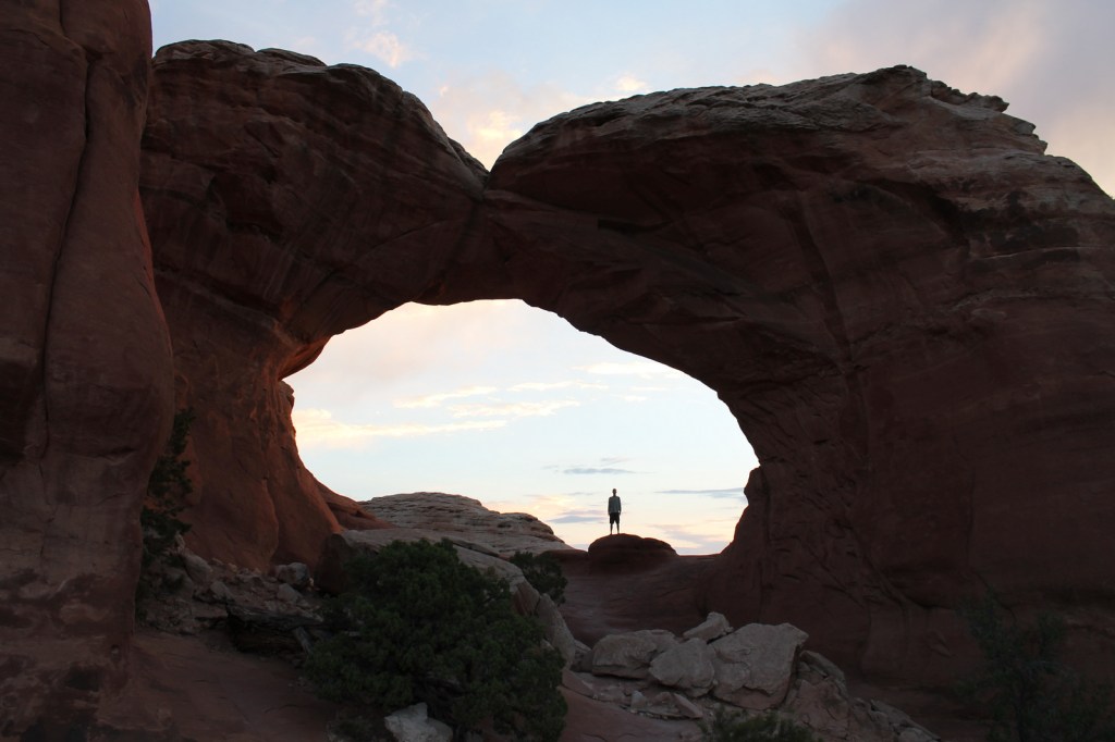
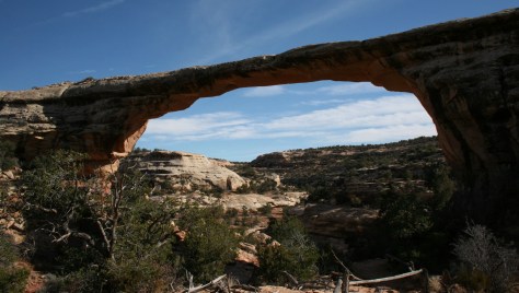
The monument is home to 220-foot tall Sipapu Bridge, which is second only to Glen Canyon’s Rainbow Bridge as the largest in the world. Kachina Bridge, at 210 feet and growing, may catch up to it someday. Perhaps the most visually striking of the three standing bridges is the 180-foot span of Owachomo Bridge that is only nine feet thick at its center. Handicap accessible overlooks are available along Bridge View Drive.
Best Trail
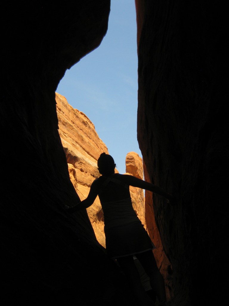
A nine-mile loop hike connects all three natural bridges, which are also accessible by shorter trails from the rim drive. Do not attempt this rugged trek if you are not prepared; it is a rocky canyon bottom at high elevation with little shade.
Instagram-worthy Photo
Owachomo Bridge is the oldest of the three standing natural bridges in the National Monument.
Peak Season
Summer
Hours
https://www.nps.gov/nabr/planyourvisit/hours.htm
Fees
$20 per vehicle or America the Beautiful pass
Road Conditions
All roads paved
Camping
The secluded nature of this region and its elevation of 6,500 feet were factors in naming it the first International Dark Sky Park in 2007. If you make it out this far, you might want to spend the night under the stars at the campground.
Related Sites
Rainbow Bridge National Monument (Utah)
Bryce Canyon National Park (Utah)
Capitol Reef National Park (Utah)
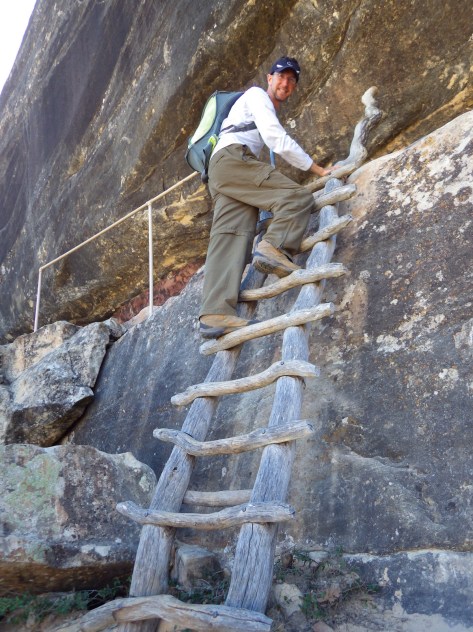
Scott descending to Sipapu Bridge 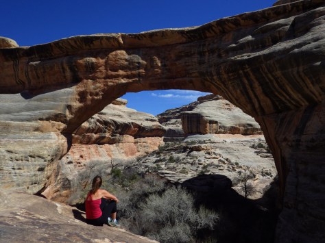
Tiff overlooking Sipapu Bridge 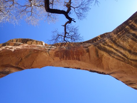
Sipapu Bridge 


Petroglyphs 

Scott under Kachina Bridge 
Tiff at Owachomo Bridge 
Ruins seen from roadside overlook
Explore More – In 1992, how many tons of rock fell from Kachina Bridge (the youngest of the three)?