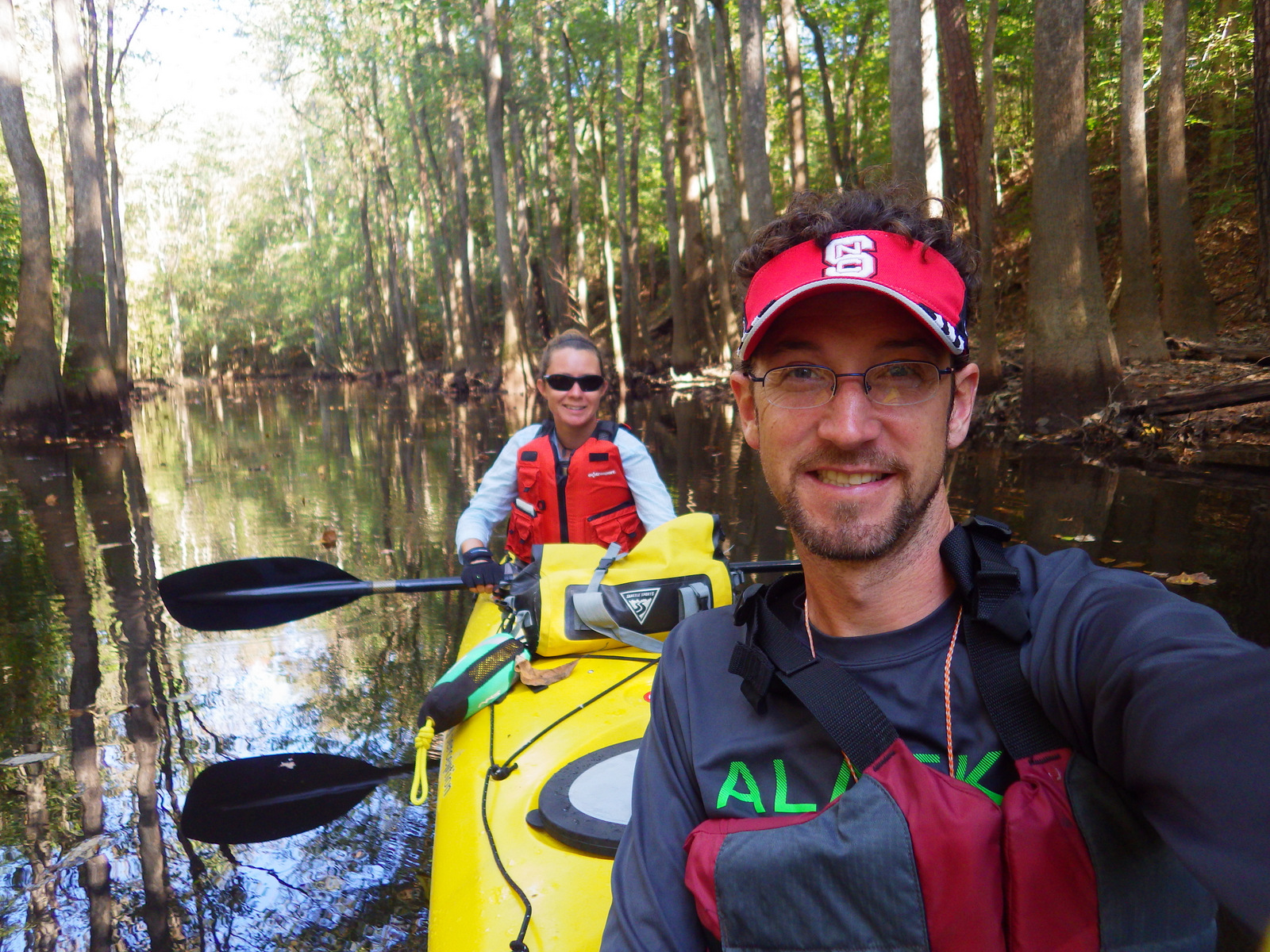
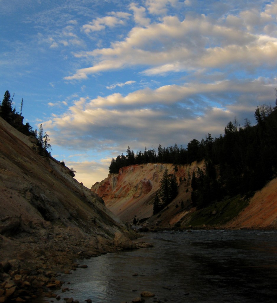
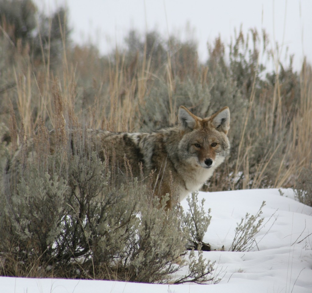
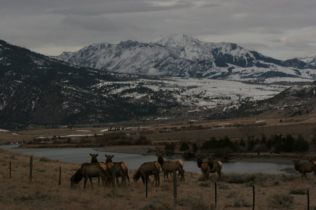
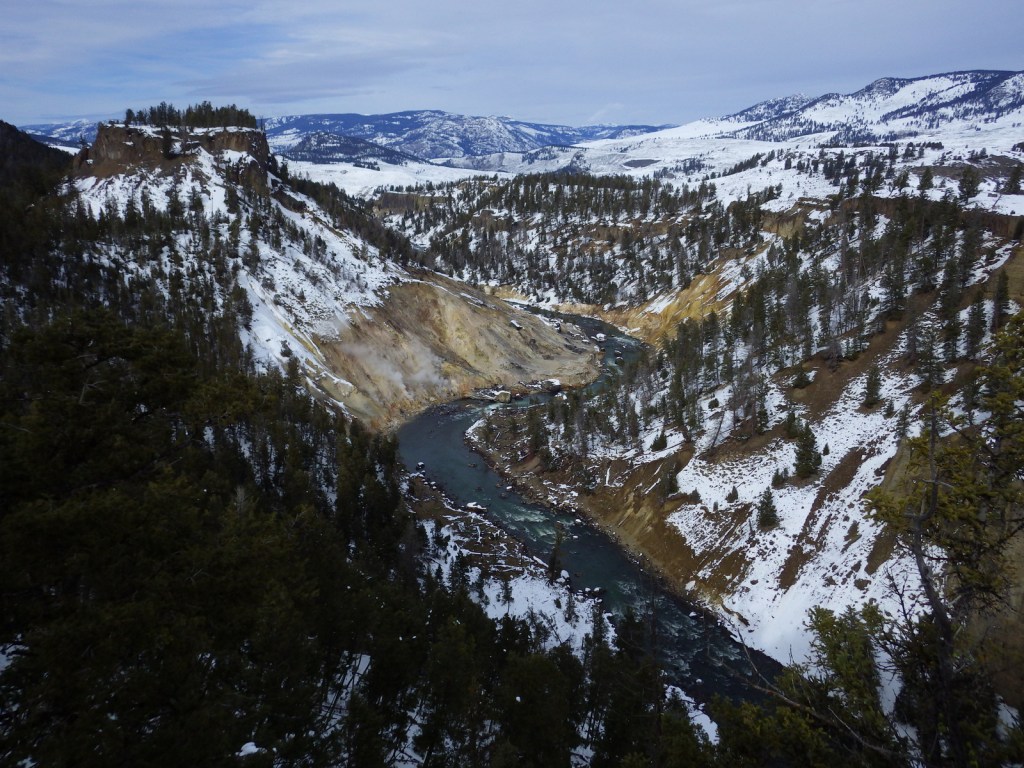
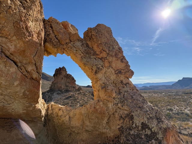
Overview
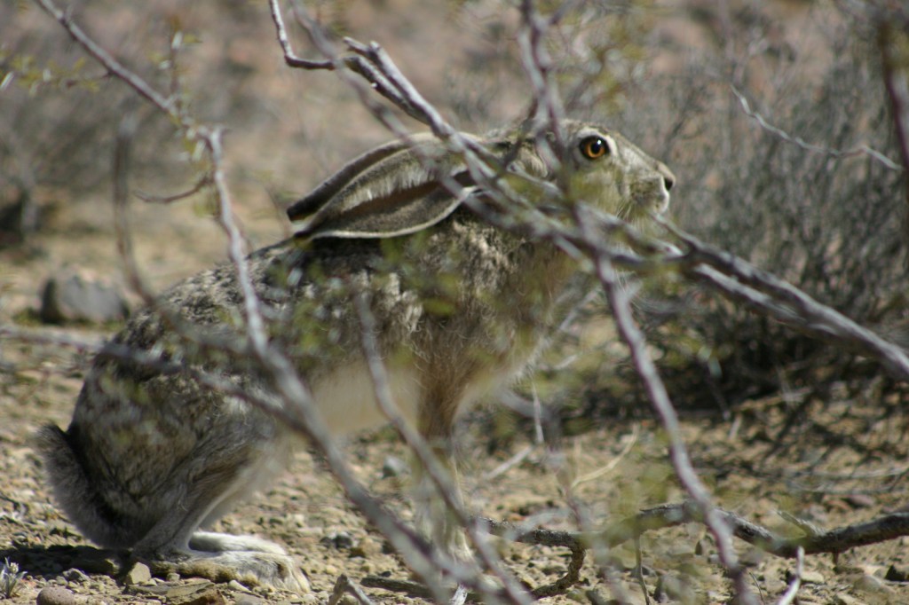
You might know gypsum as the white powder inside drywall panels. Gypsum readily dissolves in water, but here it forms sand dunes because no river drains the Tularosa Basin. The white color of the dunes does make for extra intense albedo, so be sure to bring sunglasses and carry plenty of water. Most of the wildlife here is nocturnal, but during the day you may spot a lizard species evolved to camouflage in the sand.
Update: As of December 20, 2019, the former National Monument is now called White Sands National Park.
Highlights
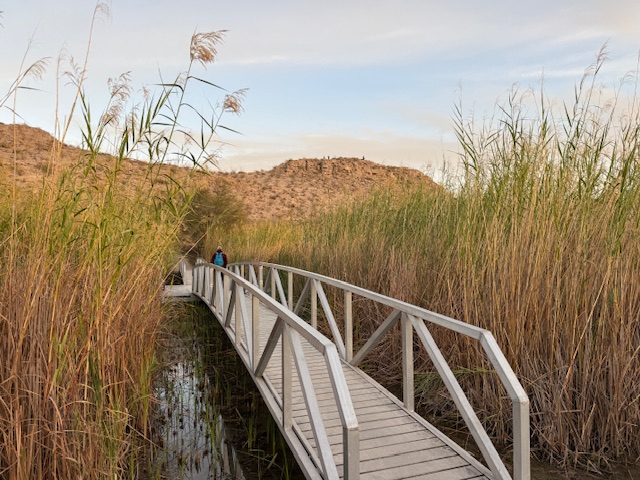
Scenic views, sledding, Interdune Boardwalk, wildlife
Must-Do Activity
Dunes composed of gypsum make a great destination for snow sledding year round, especially after a rainfall. It is fun to see children wearing T-shirts and shorts sliding down the sparkling white slopes.
Best Trail
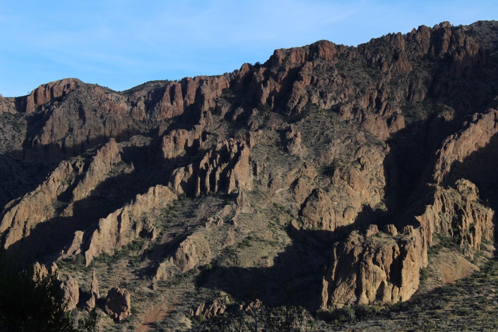
Follow markers on the five-mile round trip Alkali Flat Trail that goes up and down dunes with views of the San Andres Mountains.
Instagram-worthy Photo
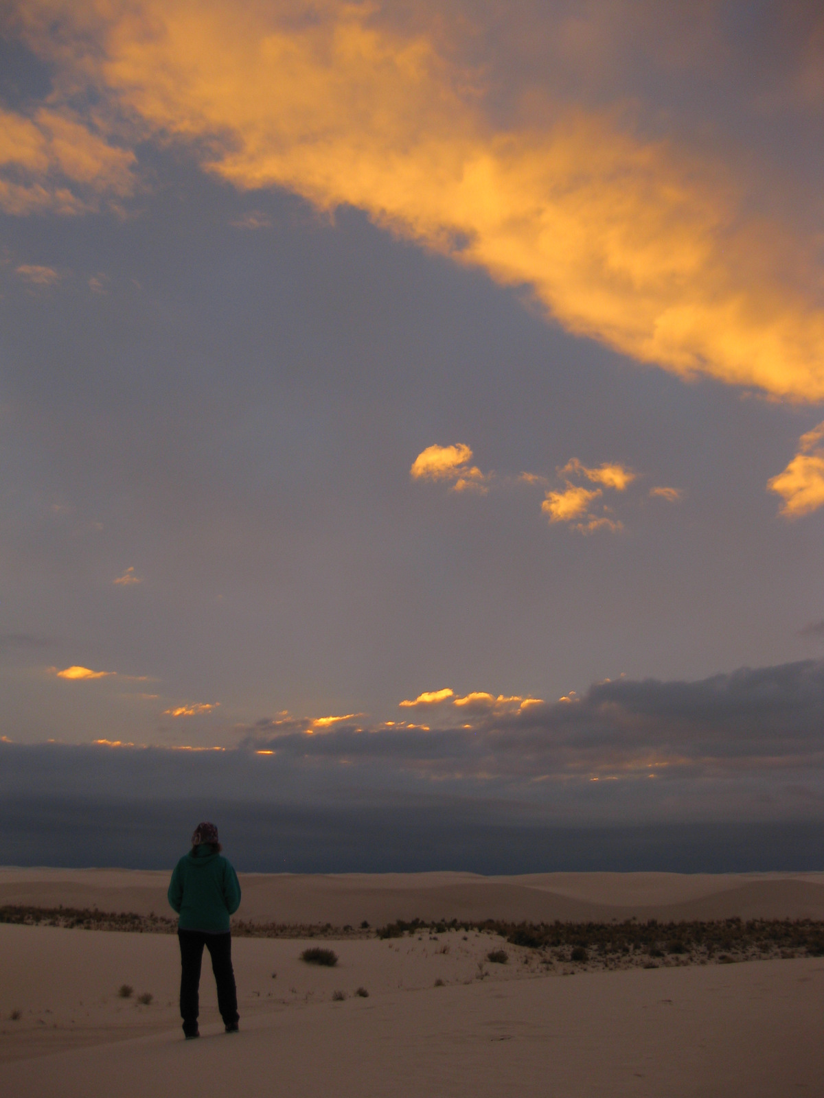
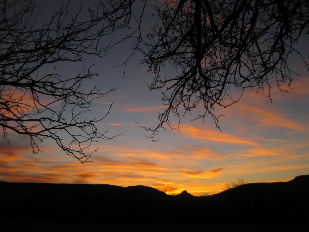
The white dunes take on the colors of the sunset if you decide to backpack or take the ranger-guided Sunset Stroll.
Peak Season
Spring and fall, since it can be very hot in the summer.
Hours
https://www.nps.gov/whsa/planyourvisit/hours.htm
Fees
$5 per person or America The Beautiful pass
Road Conditions
Mostly paved and the packed dirt road is drivable by all vehicles.
Camping
Only backcountry camping is allowed in 10 designated sites for $3 per person, but that is dependent upon whether the military is conducting missile tests overnight so call ahead or check the schedule online. Oliver Lee Memorial State Park offers a full service campground south of Alamogordo.
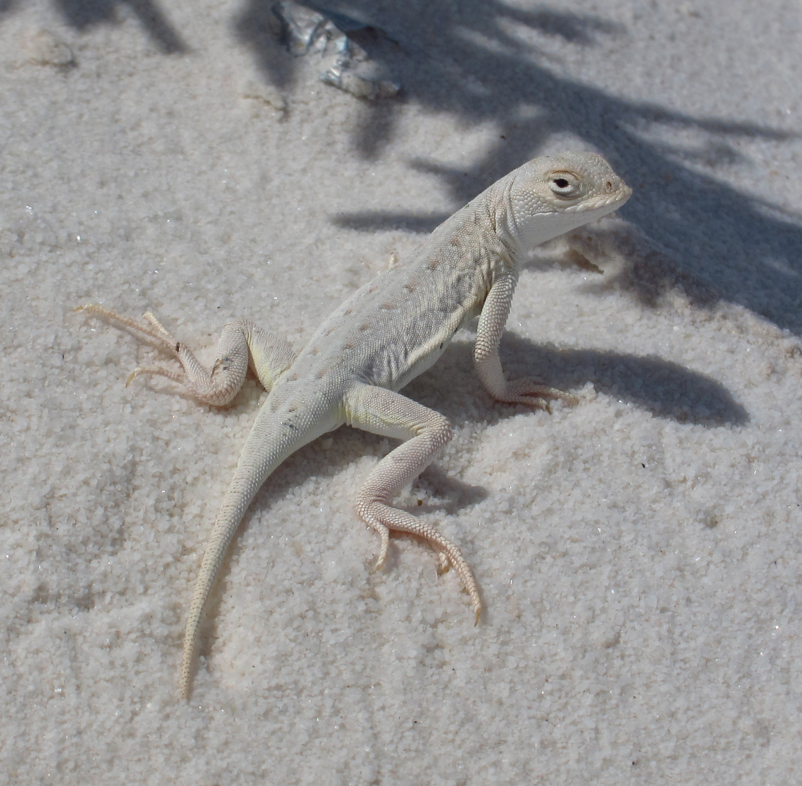
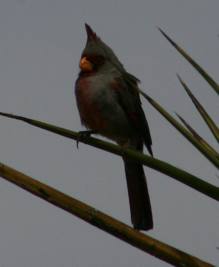
Bleached earless lizard 
Scott’s mother getting ready to sled down a sand dune in October 
The white sands blooming in October 
Scott’s mother sledding at their backcountry campsite in December 
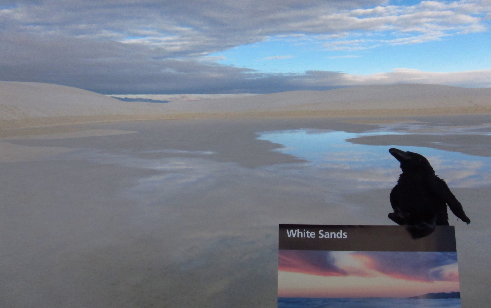
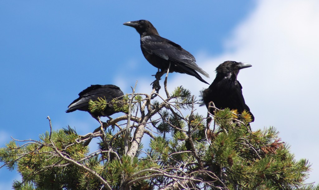
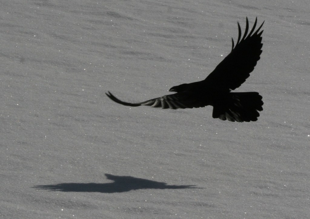
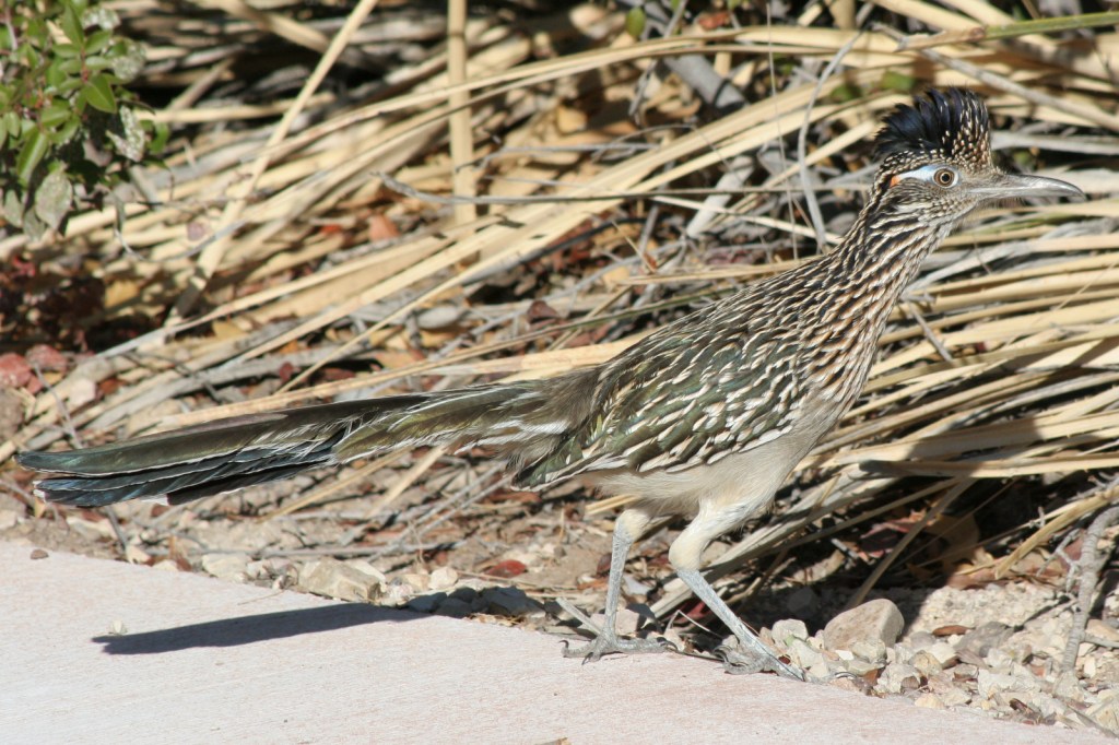
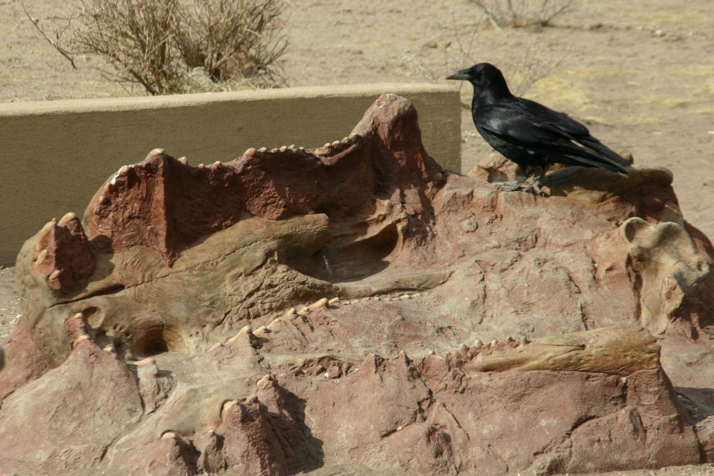
A raven about the park 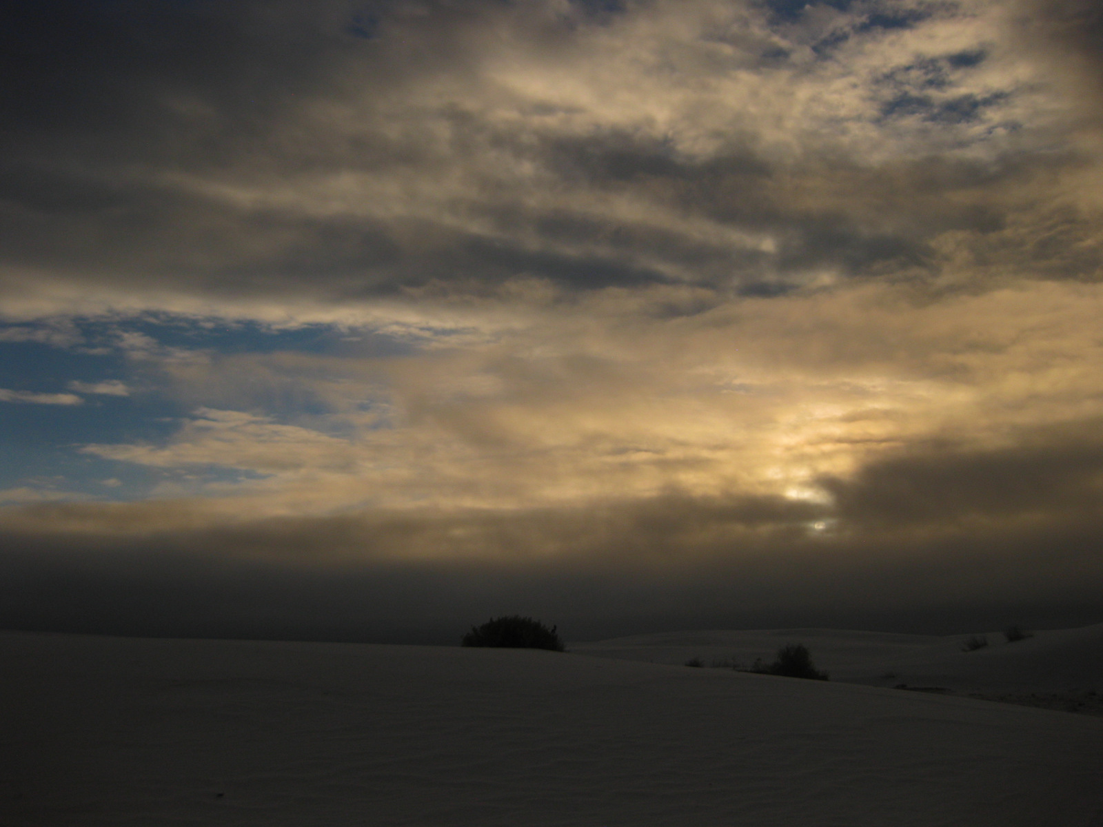
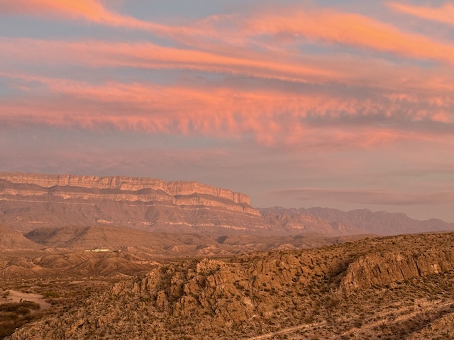
Sunrise in December 
Tiff getting ready to sled in May


Explore More – What happens to the deep root system of a soaptree yucca when the dune it is growing on blows away?

We are a participant in the Amazon Services LLC Associates Program, an affiliate advertising program designed to provide a means for us to earn fees by linking to Amazon.com and affiliated sites.


![37-[000308].jpg](https://ravenabouttheparks.com/wp-content/uploads/2018/10/37-000308.jpg)
![31-[003593]](https://ravenabouttheparks.com/wp-content/uploads/2018/10/31-003593.jpg)
![33-[000274]](https://ravenabouttheparks.com/wp-content/uploads/2018/10/33-000274.jpg)
![35-[000477]](https://ravenabouttheparks.com/wp-content/uploads/2018/10/35-000477.jpg)
![36-[003650]](https://ravenabouttheparks.com/wp-content/uploads/2018/10/36-003650.jpg)