Tag Archives: wildlife

Buck Island Reef National Monument

Overview

Located 1.5 miles north of the large Caribbean island of St. Croix is Buck Island, which covers only 176 acres of the 19,015 acres designated as Buck Island Reef National Monument.  Arguably the best coral reef in the entire National Park Service (NPS) system is the barrier reef around the island’s northern and eastern shore, which includes large examples of elkhorn coral with its beautiful yellow branches.  Private boats can get a permit to visit the island, but most tourists reserve trips with an NPS-authorized concessionaire that provides the gear for guided snorkeling and scuba diving experiences.

Highlights

Snorkeling, Underwater Trail, West Beach, Observation Point

Must-Do Activity

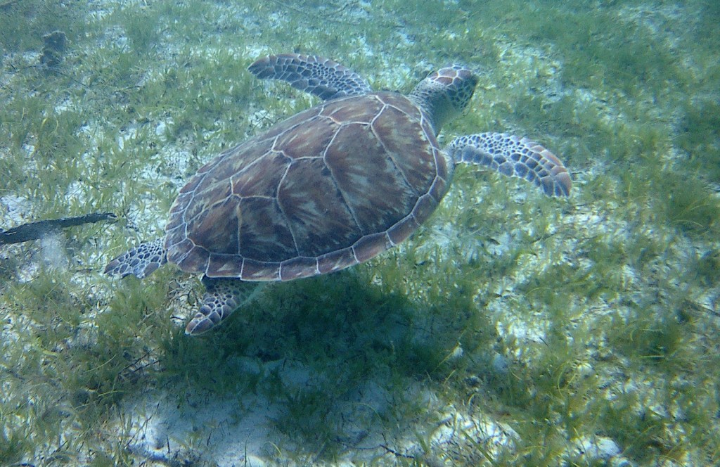
Snorkeling on the eastern end of the island is the highlight of a day trip to Buck Island.  The water offshore from St. Croix is cooler, even though your boat will moor in a lagoon, so consider wearing a wet suit.  There is an Underwater Trail with interpretive signs at one location along the coral reef.  Watch for a variety of parrotfish, angelfish, filefish, and sharks (lemon and nurse).  Sea turtles (green, hawksbill, loggerhead, and leatherback) are more common the west side of the island.

Best Trail

A steep, sandy trail climbs from Diedrichs Point and forms a loop when you walk West Beach, the designated anchorage area.  The 45-minute trek has a must-do spur to Observation Point for the best views, otherwise you will not be able to see through the thick vegetation of thorny trees interspersed with organ pipe cactus.  Stay on the trail and be careful not to touch poisonous manchineel trees or Christmas bush (related to poison-ivy).

Instagram-worthy Photo

Bring an underwater camera for great photo opportunities.  We followed a spotted eagle ray and a large school of blue tangs around the reef.  We also saw a nurse shark, lemon shark, and dozens of barracudas.

Peak Season

Anytime except hurricane season

Hours

Buck Island is only open during daylight hours

https://www.nps.gov/buis/planyourvisit/hours.htm

Fees

None, except for concessionaire boat trip

Road Conditions

There are no roads on the island, so a boat tour through an NPS-authorized concessionaire is necessary to access it.  There is a large parking lot (fee) near the Christiansted marina and floatplane airport.  Note: you drive on the left side of the road in the U.S. Virgin Islands, but in standard American left-side driver seat vehicles.

Camping

Buck Island is closed between sunset and sunrise, with no overnight mooring allowed.  On St. Croix, there is no official NPS campground at Salt River Bay National Historical Park and Ecological Preserve, but people camp along the coast there and at many beachside locations around the entire island.

Related Sites

Christiansted National Historic Site (U.S. Virgin Islands)

Salt River Bay National Historical Park and Ecological Preserve (U.S. Virgin Islands)

Virgin Islands National Park (U.S. Virgin Islands)

Explore More – What type of domesticated animals were let loose on Buck Island in the 1700s (permanently altering the vegetation)?
Top 10 National Parks for Wildlife Watching

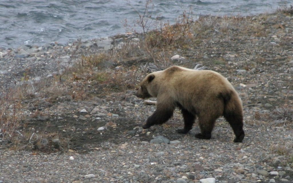
There are 63 National Parks of the 430+ units in the National Park Service (NPS) system and they are among the best places to watch wildlife.  As with all of our Top 10 lists, this is a ranking of our favorite parks and not necessarily a true reflection of biodiversity or the likelihood of spotting the animals listed.  Note: brown bears and grizzly bears are the same species, so we stuck with the Alaskan name.  We have published a travel guidebook to the 63 parks with much more information about where to go to see wildlife (available on Amazon).

Know someone who loves National Parks? Gift them our travel guidebook A Park to Yourself: Finding Solitude in America’s 63 National Parks. 

10. Theodore Roosevelt (North Dakota)

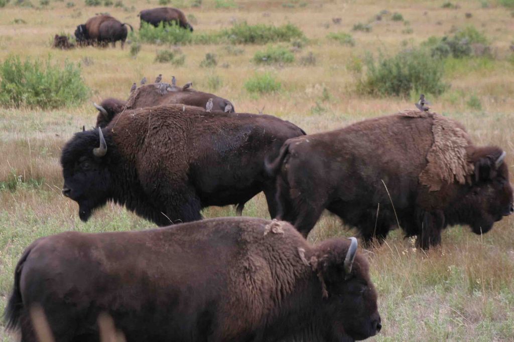
Bison, elk, pronghorn, white-tailed deer, mule deer, prairie dogs, wild horses, prairie rattlesnakes

9. Virgin Islands (U.S. Virgin Islands)

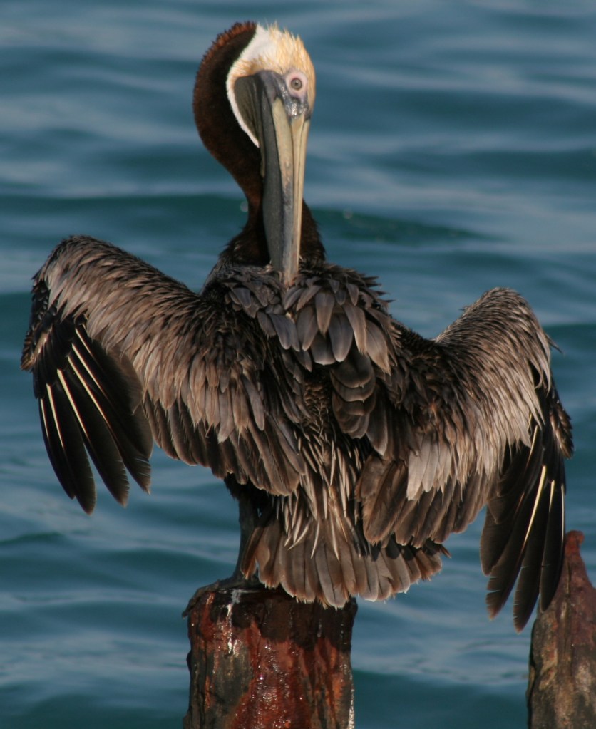
Sea turtles, stingrays, barracudas, parrotfish, iguanas (introduced), frigatebirds, bananaquits, pelicans

8. Rocky Mountain (Colorado)

Elk, moose, bighorn sheep, white-tailed deer, mule deer, black bears, yellow-bellied marmots, pikas

7. Glacier (Montana)

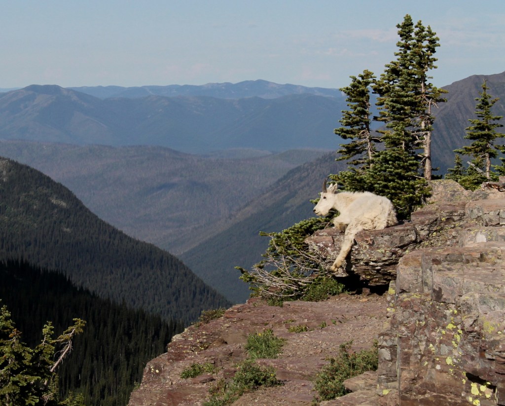
Mountain goats, bighorn sheep, moose, elk, mule deer, brown bears, black bears, lynx, yellow-bellied marmots, pikas

6. Great Smoky Mountains (Tennessee-North Carolina)

Elk, white-tailed deer, black bears, raccoons, turkeys, salamanders, synchronous fireflies

5. Denali (Alaska)

Caribou, moose, Dall sheep, brown bears, black bears, gray wolves, beavers, hoary marmots

4. Badlands (South Dakota)

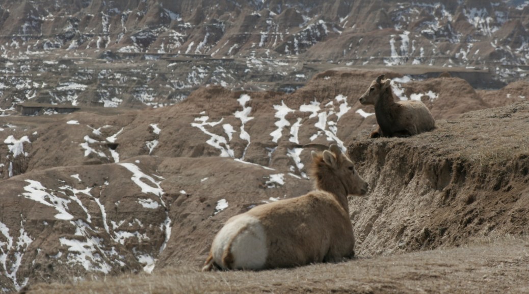
Bison, bighorn sheep, pronghorn, white-tailed deer, mule deer, prairie dogs, black-footed ferrets

3 (tie). Kenai Fjords/Glacier Bay (Alaska)

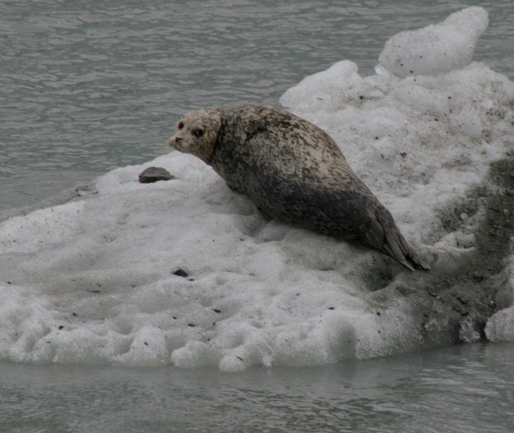
Sea otters, sea lions, harbor seals, whales, porpoises, moose, mountain goats, brown bears, black bears, bald eagles

2. Everglades (Florida)

Alligators, crocodiles, dolphins, barred owls, anhingas, roseate spoonbills, wood storks, ospreys, pelicans

…and finally our #1 National Park for watching wildlife:

1. Yellowstone (Wyoming-Montana-Idaho)

Bison, elk, moose, bighorn sheep, pronghorn, brown bears, black bears, mountain lions, gray wolves

Honorable Mentions

Voyageurs (Minnesota)

River otters, beavers, moose, white-tailed deer, black bears, gray wolves, lynx, bald eagles, loons

Channel Islands (California)

Sea otters, sea lions, harbor seals, whales, dolphins, anemones, sea urchins, starfish, sea gulls, pelicans

Dry Tortugas (Florida)

Sea turtles, parrotfish, groupers, tarpons, sharks, crocodiles, frigatebirds, noddies, boobies, terns, pelicans

Know someone who loves National Parks? Gift them our travel guidebook A Park to Yourself: Finding Solitude in America’s 63 National Parks. 

Haleakalā National Park

Overview

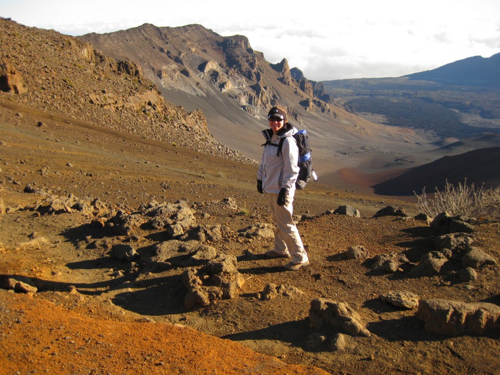
On the tropical island of Maui, Haleakalā National Park is accessible by two memorable roads.  One road climbs from sea level up to 10,023 feet overlooking Haleakalā Crater, which has almost no vegetation.  To the east, a lush tropical rainforest thrives in the Kīpahulu District located at the end of the winding road to Hana.  Both districts offer great hiking opportunities and free campgrounds. There is much more information about this park in our National Park guidebook, available on Amazon.

Highlights

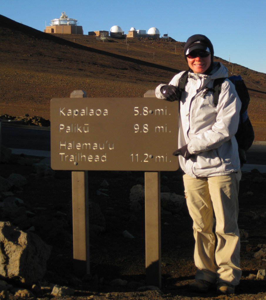
Haleakalā Crater, Sliding Sands Trail, Hosmer Grove, ‘Ohe‘o Gulch pools, Waimoku Falls

Must-Do Activity

The thing to do at Haleakalā National Park is drive up the curvy entrance road in the pitch dark to catch a sunrise from 10,000 feet.  Haleakalā translates to “the house of the sun” so it is kind of a big deal here.  It is like a party atmosphere in the chilly air waiting for the guest of honor.  Of course, we were up there one morning, though we thought the sunsets were prettier and much less crowded.  Several tours drive visitors to the summit for sunrise then provide bicycles to coast back down the switchbacks outside the park boundaries.

Best Trail

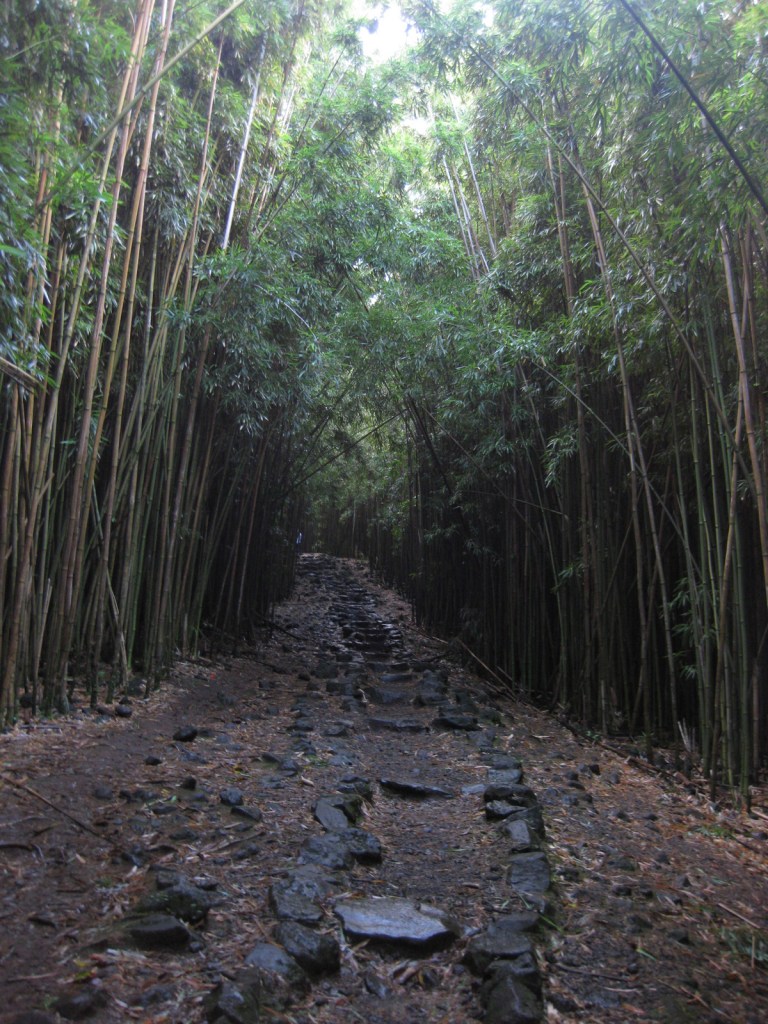
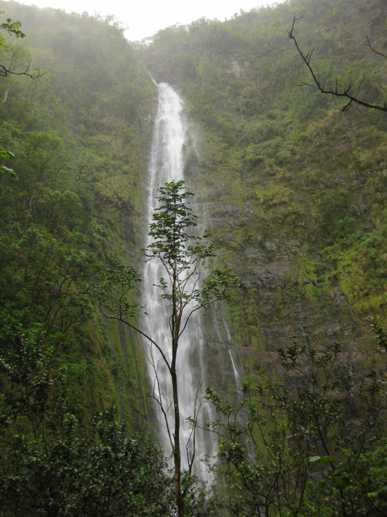
In the Kīpahulu District, we hiked the two-mile Pipiwai Trail to the 400 foot cascades of Waimoku Falls in a steady downpour.   The trail offers some protection from rain under sprawling banyan trees and incredibly dense bamboo thickets.  Like many of the plant and animal species found throughout Hawai‘i, the banyan and bamboo are not native to the islands, but have thrived on this isolated landmass 2,400 miles from the nearest continent. 

Instagram-worthy Photo

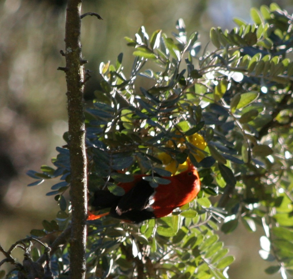
Silversword (‘ahinahina) plants grow all along the Sliding Sands Trail that accesses the bottom of the 2,000 foot deep crater.

Peak Season

Year round, though summer might be slightly warmer at 10,000 feet in elevation.

Hours

https://www.nps.gov/hale/planyourvisit/hours.htm

Fees

$30 per vehicle or America the Beautiful pass

Road Conditions

All roads are paved, but the road to the summit is full of switchbacks and bicyclists.  The curvy road to Hana is well known for its one-lane bridges, of which we counted 53 before we reached the Kīpahulu District.

Camping

The two National Park Service campgrounds here are free, a big savings in a place that can be expensive to visit.  There is a lottery for three hike-in cabins and permits available for wilderness backpacking campsites.

Related Sites

Kalaupapa National Historical Park (Hawai‘i)

Hawai‘i Volcanoes National Park (Hawai‘i)

Kaloko-Honokōhau National Historical Park (Hawai‘i)

This design we created to celebrate Haleakalā National Park is available on a variety of products at Cafe Press.

Explore More – How much annual precipitation does the Kīpahulu District receive (making it one of the wettest places on Earth)?
We are a participant in the Amazon Services LLC Associates Program, an affiliate advertising program designed to provide a means for us to earn fees by linking to Amazon.com and affiliated sites.

Point Reyes National Seashore

Overview

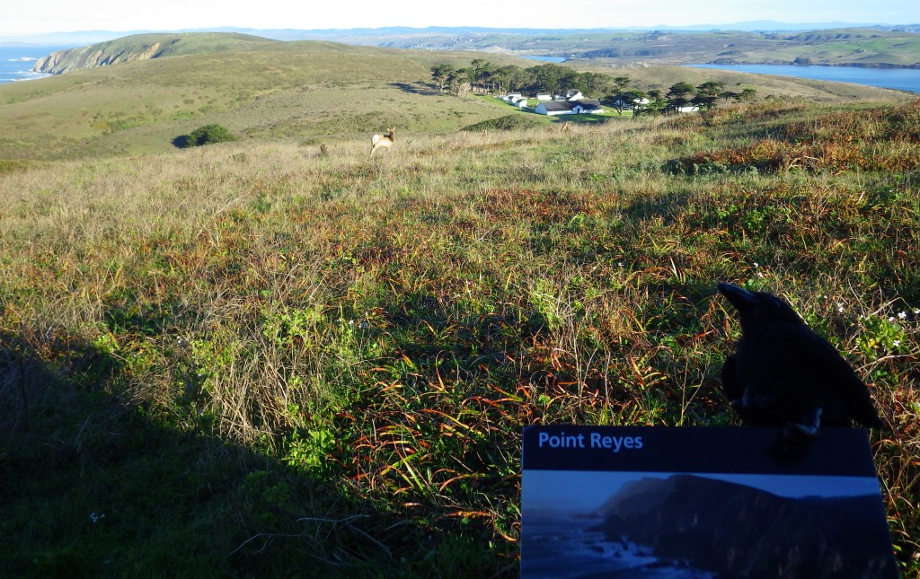
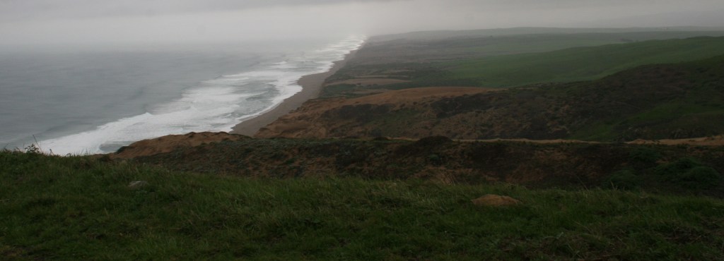
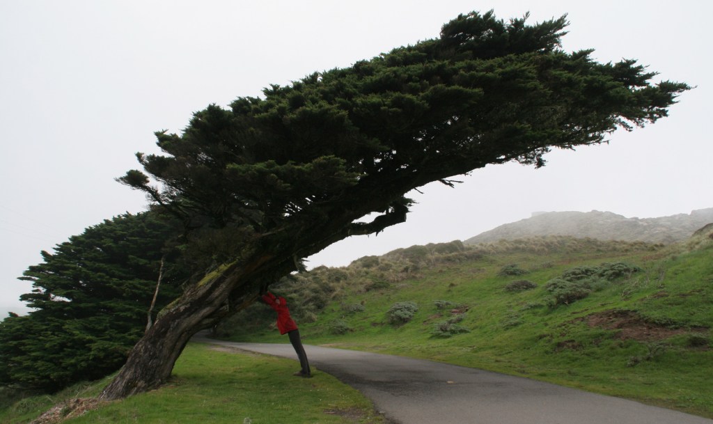
North of San Francisco, California, Point Reyes National Seashore is the only park so designated on the Pacific Coast of the U.S.  Be prepared to get wet as this piece of land located on the San Andreas Fault is frequently enveloped by a fog belt year round.  It might not be the best spot to sunbathe on the beach, but this unique seashore is a great place to watch wildlife.

Highlights

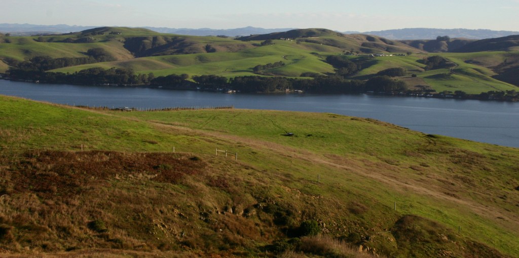
Point Reyes Lighthouse, beaches, Arch Rock, Historic Pierce Point Ranch, Tomales Bay

Must-Do Activity

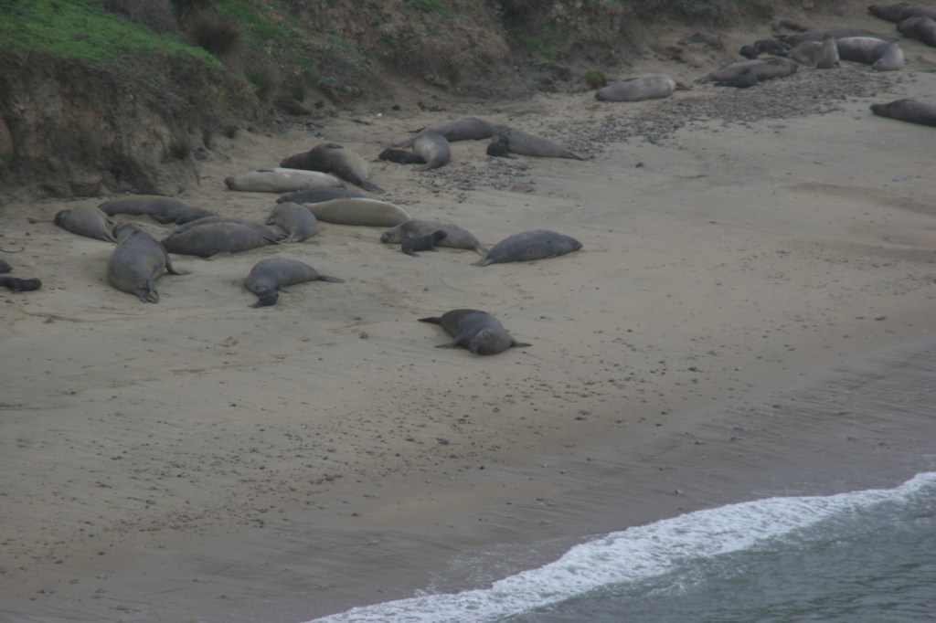
The main attraction is the Point Reyes Lighthouse, where you can try to spot sea lions and gray whales on their winter migration.  It is 300 steps down to the historic lighthouse, then you have to turn around and climb back up.  Nearby Drakes Beach is off limits in the winter months when elephant seals gather there and you can watch (and listen to) them from an overlook.  The park is popular with road and mountain bikers, and well-protected Tomales Bay attracts kayakers.

Best Trail

An extensive trail system with backcountry campsites (including two near the beach) is best accessed from the Bear Valley Visitor Center.  Plus, you can always walk the 11-mile long Point Reyes Beach.

Instagram-worthy Photo

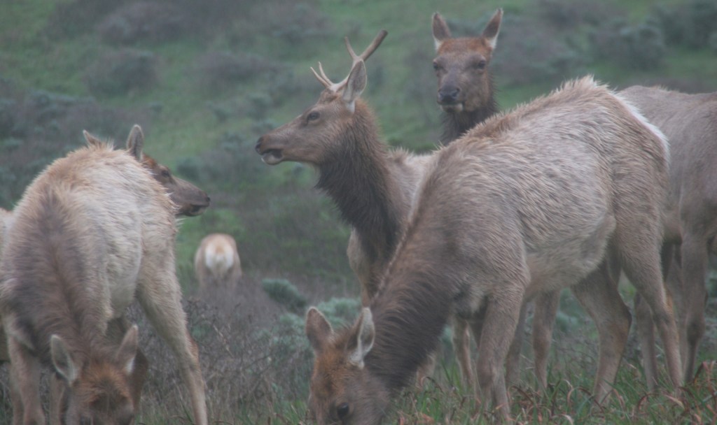
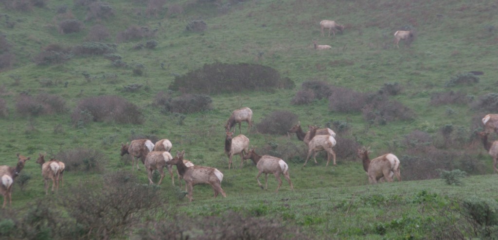
The park has a reintroduced herd of Tule elk near the Historic Pierce Point Ranch on Tomales Point.  If you visit in January, you might find a bull was waiting for his other antler to drop.

Peak Season

Summer, though the weather is pretty much the same year round.

Hours

https://www.nps.gov/pore/planyourvisit/hours.htm

Fees

None

Road Conditions

All roads paved, except a few short ones that access trailheads.

Camping

There is no campground in Point Reyes National Seashore, but there are backcountry campsites that area available with a permit (reservations available).

Related Sites

Cabrillo National Monument (California)

Golden Gate National Recreation Area (California)

Olympic National Park (Washington)

Explore More – How far did the entire Point Reyes Peninsula permanently shift during the 1906 San Francisco Earthquake?

Big Thicket National Preserve

Overview

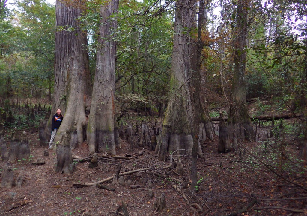
When most people think of Texas they do not think of the bayou, but since 1974 this unique ecosystem and eight others were preserved in several units in the southeastern portion of the state.  The Big Thicket once covered 3.5-million acres, however, now only 112,000 acres is protected by the National Park Service (NPS) in 15 remnant sections.  Here you can also discover longleaf pine savannah, saltwater estuaries, and wetlands harboring carnivorous plants.  Understandably, the region is noted for its high biodiversity, highlighted by 85 tree species, 20 orchids, and wildlife as dissimilar as alligators and roadrunners.

Highlights

Kirby Nature Trail, Pine Island Bayou, Cooks Lake Paddling Trail, Neches River, birding

Must-Do Activity

We recommend you start by learning about the nine different ecosystems within the preserve at the NPS visitor center located eight miles north of Kountze, Texas.  The best way to get to know Big Thicket National Preserve is on the water.  Motorboats are allowed in most units, but paddling is preferred for exploring the shallow bayous.  Lined with baldcypress trees, Pine Island Bayou is best explored by kayak or canoe, as is the Cooks Lake Paddling Trail (a five mile loop).  It is also possible to float the park’s 80 miles of the Neches River depending upon the amount of water released from B.A. Steinhagan Lake.

Best Trail

There are 40 miles of hiking trails, but it may be best to start with the Kirby Nature Trail near the NPS visitor center in Kountze, Texas.  Also located in the Turkey Creek Unit, the short Pitcher Plant Trail is best in the spring when the carnivorous plants bloom in the wet savanna.

Instagram-worthy Photo

Inside the NPS visitor center located eight miles north of Kountze, Texas, you can pose with a giant-sized pitcher plant model.

Peak Season

Fall and spring to avoid peak mosquito season.

Hours

https://www.nps.gov/bith/planyourvisit/hours.htm

Fees

None

Road Conditions

The main access roads are paved, but some boat launches may be dirt.

Camping

The NPS offers free backcountry permits, but the nearest campgrounds are at Village Creek State Park and B.A. Steinhagan Lake (managed by the U.S. Army Corps of Engineers).

Related Sites

Jean Lafitte National Historical Park and Preserve (Louisiana)

Big Cypress National Preserve (Florida)

Everglades National Park (Florida)

Explore More – In addition to pitcher plants, how many other carnivorous plant species are found in Big Thicket National Preserve?