There are 63 National Parks of the 430+ units in the National Park Service (NPS) system and they are among the best places to watch wildlife. As with all of our Top 10 lists, this is a ranking of our favorite parks and not necessarily a true reflection of biodiversity or the likelihood of spotting the animals listed. Note: brown bears and grizzly bears are the same species, so we stuck with the Alaskan name. We have published a travel guidebook to the 63 parks with much more information about where to go to see wildlife (available on Amazon).
Know someone who loves National Parks? Gift them our travel guidebook A Park to Yourself: Finding Solitude in America’s 63 National Parks.
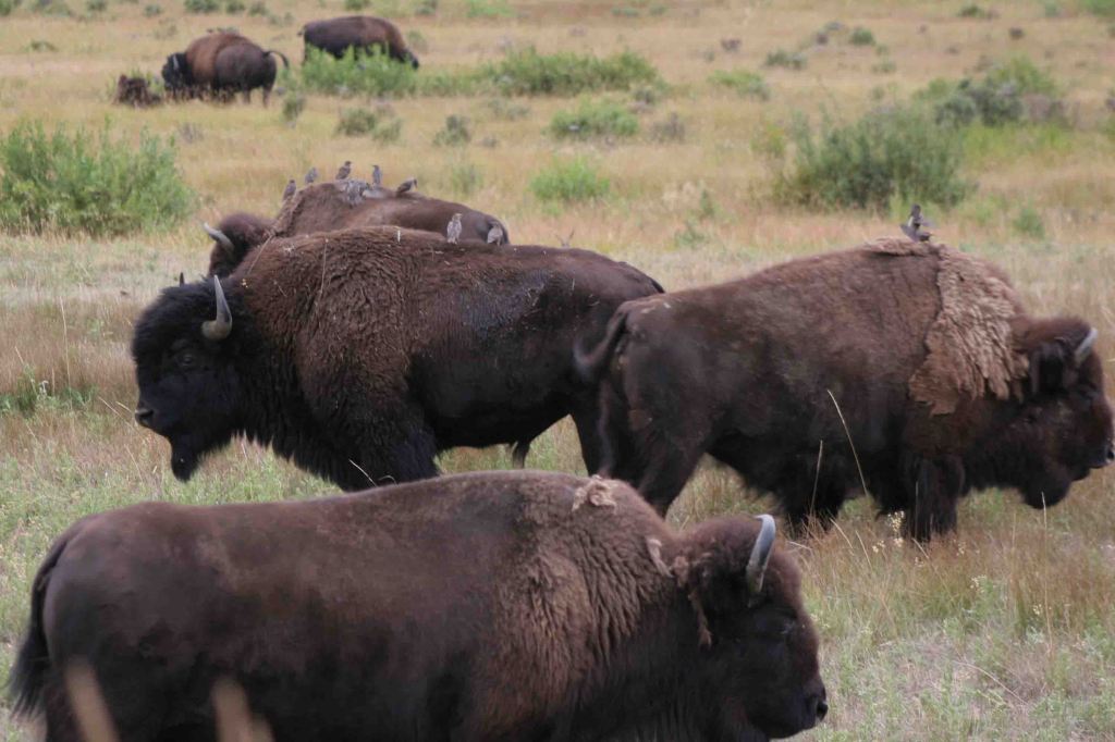
10. Theodore Roosevelt (North Dakota)
Bison, elk, pronghorn, white-tailed deer, mule deer, prairie dogs, wild horses, prairie rattlesnakes

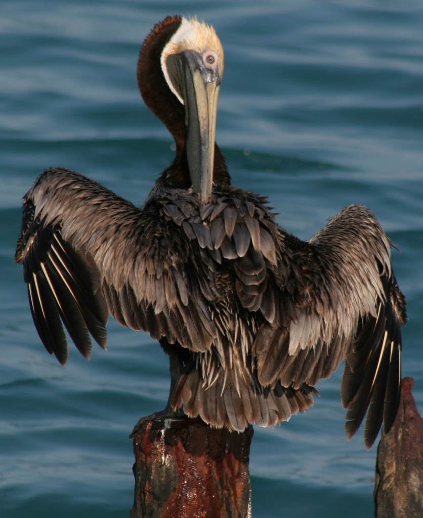
9. Virgin Islands (U.S. Virgin Islands)
Sea turtles, stingrays, barracudas, parrotfish, iguanas (introduced), frigatebirds, bananaquits, pelicans
8. Rocky Mountain (Colorado)
Elk, moose, bighorn sheep, white-tailed deer, mule deer, black bears, yellow-bellied marmots, pikas

7. Glacier (Montana)
Mountain goats, bighorn sheep, moose, elk, mule deer, brown bears, black bears, lynx, yellow-bellied marmots, pikas
6. Great Smoky Mountains (Tennessee-North Carolina)
Elk, white-tailed deer, black bears, raccoons, turkeys, salamanders, synchronous fireflies
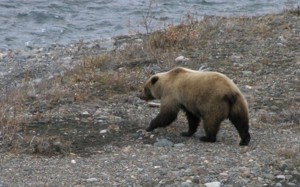
5. Denali (Alaska)
Caribou, moose, Dall sheep, brown bears, black bears, gray wolves, beavers, hoary marmots
4. Badlands (South Dakota)
Bison, bighorn sheep, pronghorn, white-tailed deer, mule deer, prairie dogs, black-footed ferrets
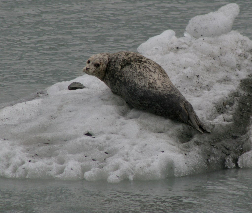
3 (tie). Kenai Fjords/Glacier Bay (Alaska)
Sea otters, sea lions, harbor seals, whales, porpoises, moose, mountain goats, brown bears, black bears, bald eagles
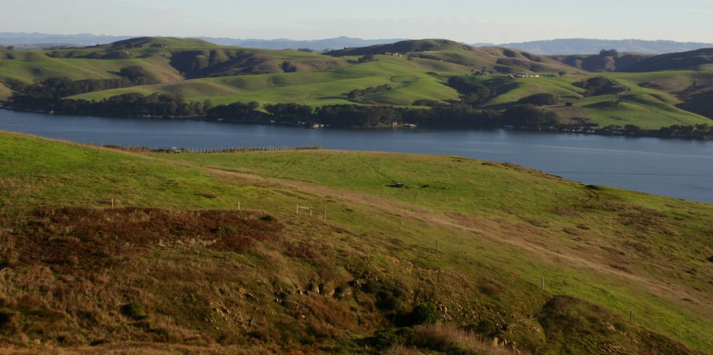
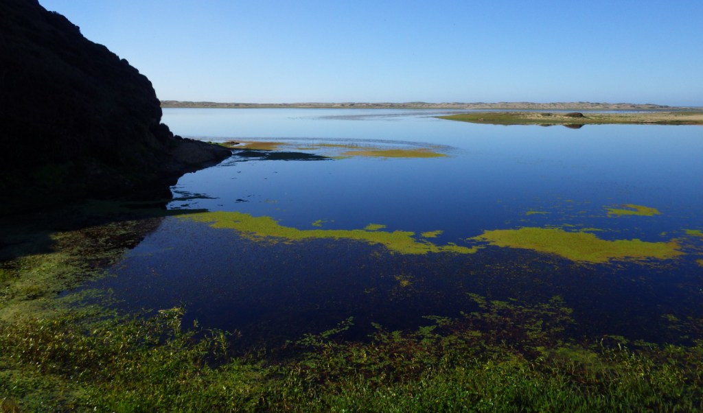
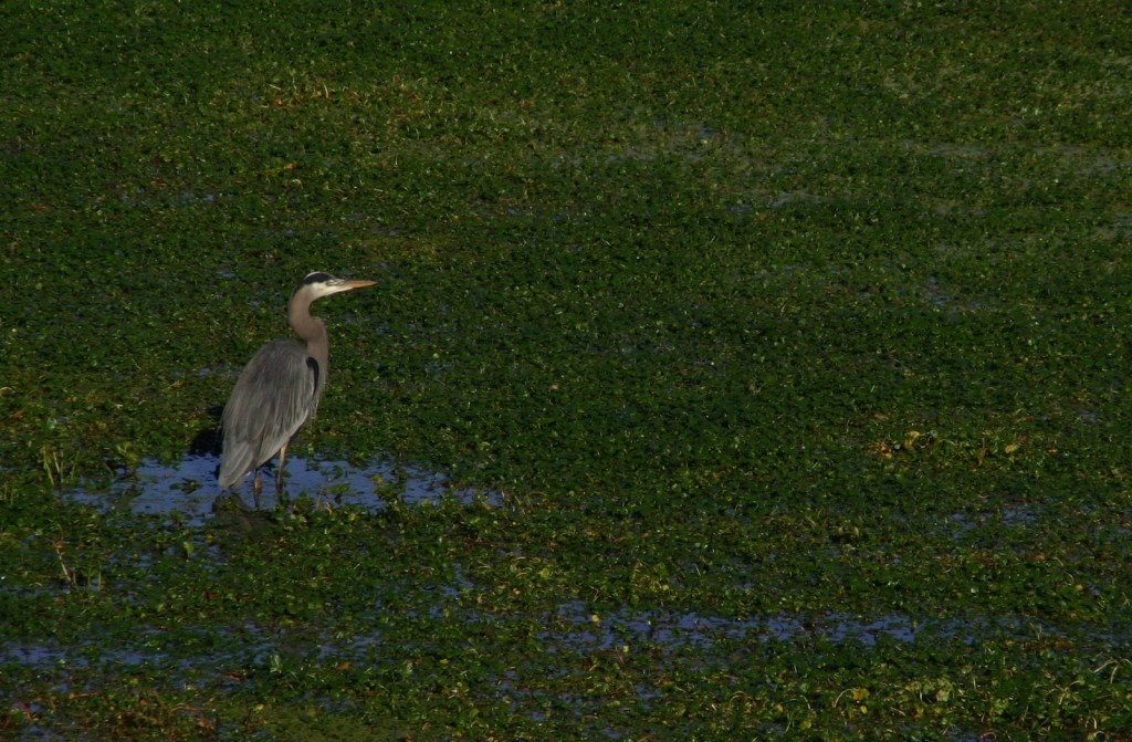
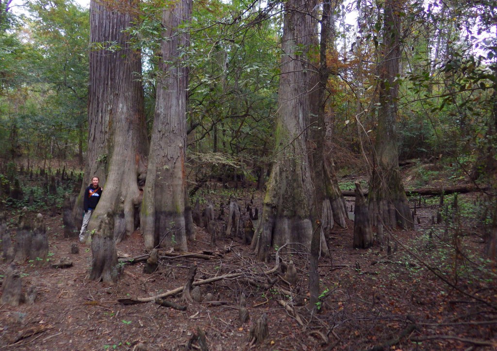
2. Everglades (Florida)
Alligators, crocodiles, dolphins, barred owls, anhingas, roseate spoonbills, wood storks, ospreys, pelicans
…and finally our #1 National Park for watching wildlife:
1. Yellowstone (Wyoming-Montana-Idaho)
Bison, elk, moose, bighorn sheep, pronghorn, brown bears, black bears, mountain lions, gray wolves
Honorable Mentions
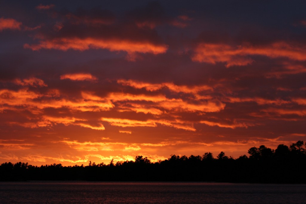
Voyageurs (Minnesota)
River otters, beavers, moose, white-tailed deer, black bears, gray wolves, lynx, bald eagles, loons
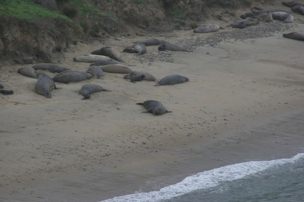
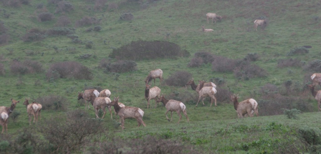
Channel Islands (California)
Sea otters, sea lions, harbor seals, whales, dolphins, anemones, sea urchins, starfish, sea gulls, pelicans
Dry Tortugas (Florida)
Sea turtles, parrotfish, groupers, tarpons, sharks, crocodiles, frigatebirds, noddies, boobies, terns, pelicans

Know someone who loves National Parks? Gift them our travel guidebook A Park to Yourself: Finding Solitude in America’s 63 National Parks.