Tag Archives: wildlife

Gulf Islands National Seashore

Overview

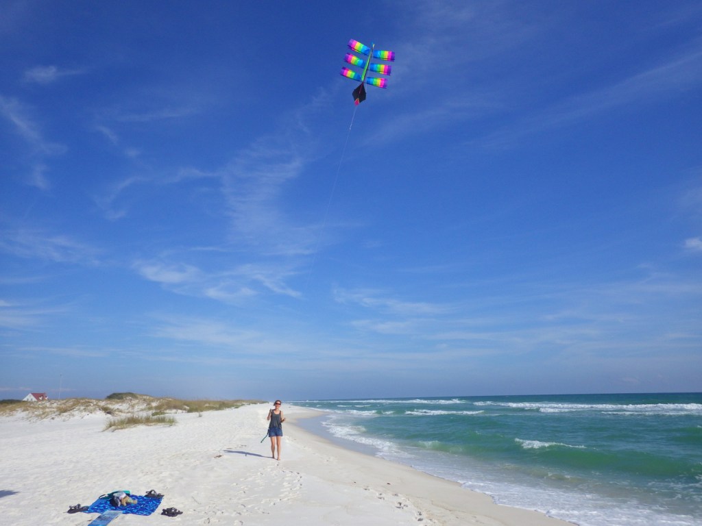
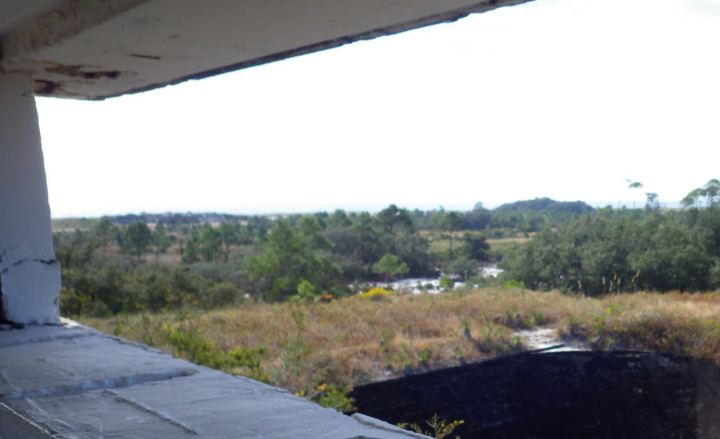
Gulf Islands National Seashore is renowned for white sand beaches on the barrier islands in the Gulf of Mexico, but there is more than beaches on the shores of Mississippi and the Florida panhandle (yes, Alabama is in the middle but is not part of this park).  The white sand that attracts beachgoers here originated as quartz in the Appalachian Mountains.  This coastal region was originally purchased by the U.S. from Spain in 1821 and 150 years later Gulf Islands National Seashore was created. 
Highlights

Fort Pickens, Naval Live Oaks Area, Fort Barrancas, West Ship Island ferry, white sand beaches, wildlife

Must-Do Activity

The National Park Service (NPS) has four visitor centers for Gulf Islands National Seashore, one on the mainland in Ocean Springs, Mississippi and the other three are south of Pensacola, Florida.  The most developed area is around Fort Pickens on Santa Rosa Island with its popular campground.  Nearby, Fort Barrancas sits next to the free National Museum of Naval Aviation on the military base.  The Naval Live Oaks Area protects the first federal tree farm started for shipbuilding purposes in 1828.  In Mississippi, only Davis Bayou can be reached by road, with (seasonal) ferry service limited to West Ship Island.  Otherwise, bring your own boat!

Best Trail

The 1,300-mile long Florida National Scenic Trail starts at Fort Pickens then runs east across Santa Rosa Island.

Instagram-worthy Photo

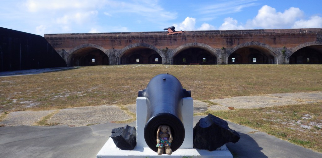
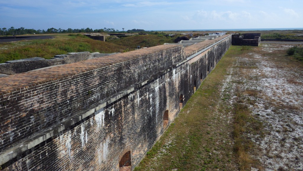
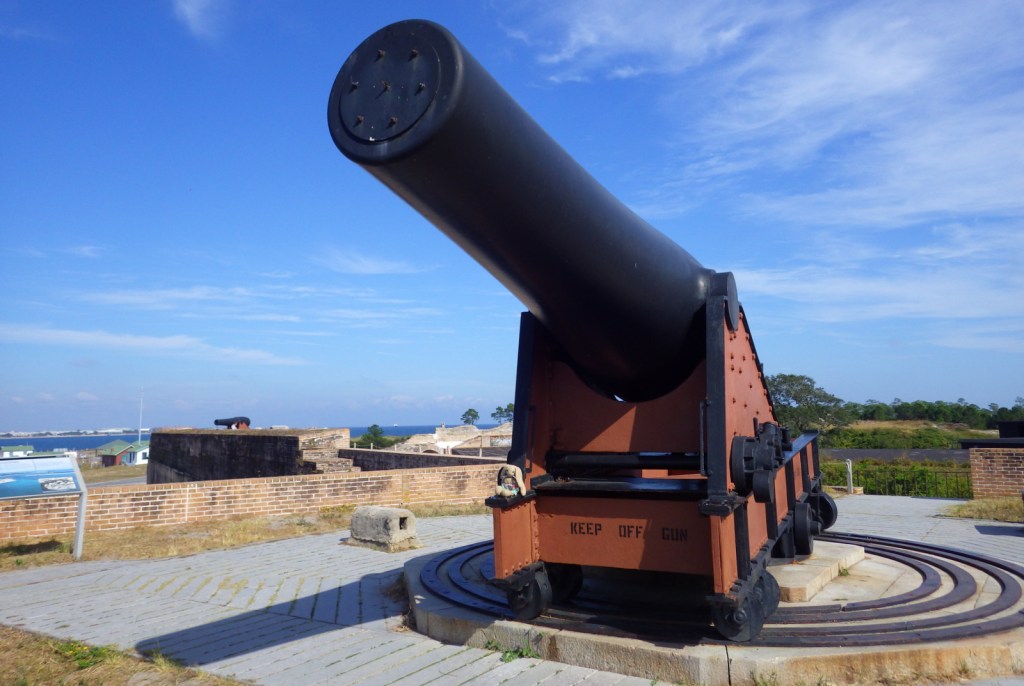
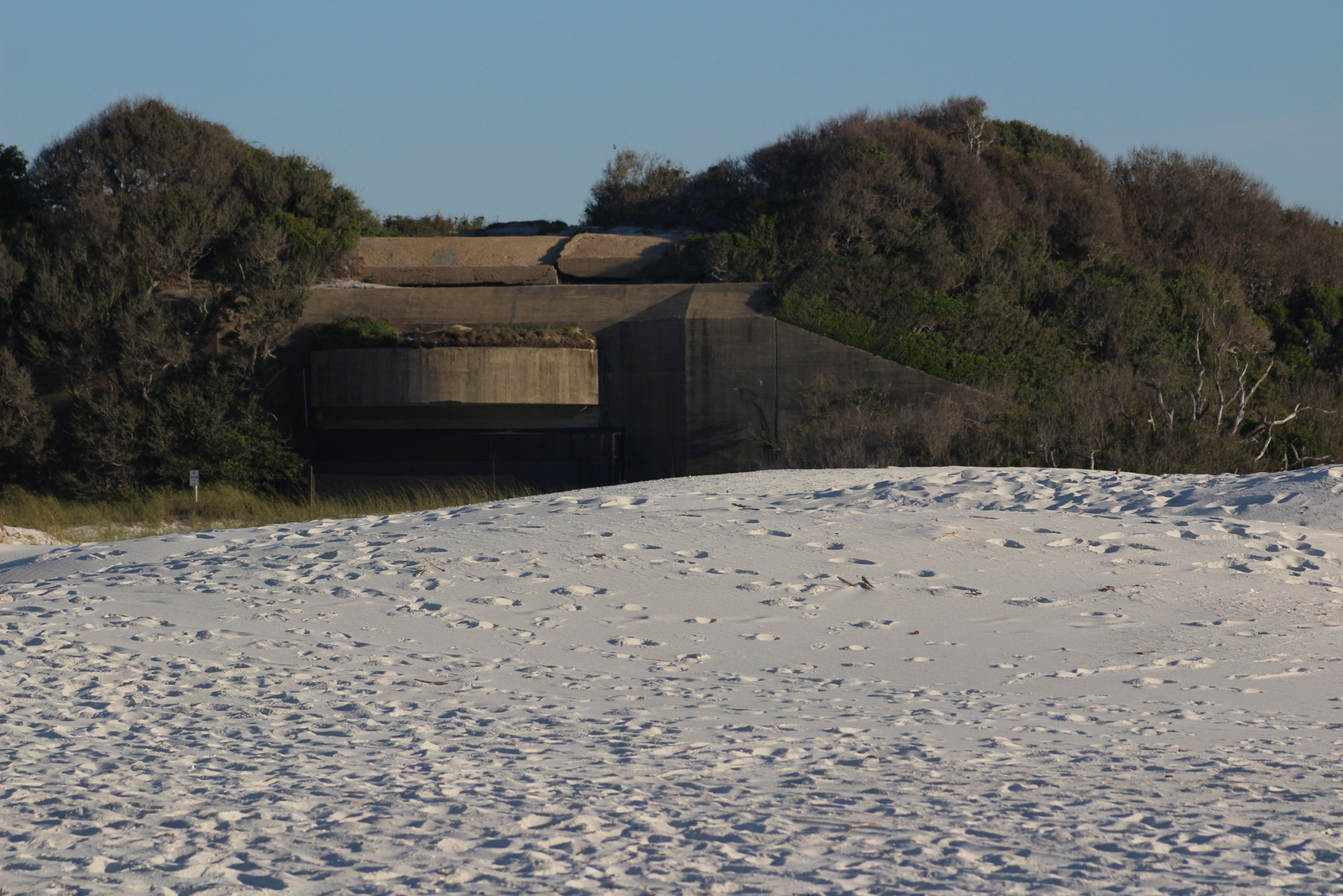
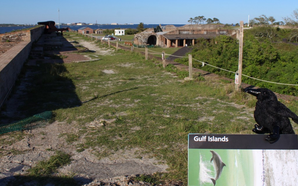
Fort Pickens dates back to 1829 with additional batteries upgraded during World War II.  Inside the fort there is a nice museum explaining the history of Santa Rosa Island.

Peak Season

Summer

Hours

https://www.nps.gov/guis/planyourvisit/hours.htm

Fees

$25 per vehicle or free with America the Beautiful pass

Road Conditions

All access roads are paved

Camping

Reservations are highly recommended for the NPS campgrounds on Santa Rosa Island, Florida and Ocean Springs, Mississippi.  Primitive camping is allowed on undeveloped East Ship, Horn, and Petit Bois Islands.

Related Sites

Dry Tortugas National Park (Florida)

Canaveral National Seashore (Florida)

Everglades National Park (Florida)

Explore More – What are the four species of sea turtles that nest on the park’s beaches?

Wind Cave National Park

Overview

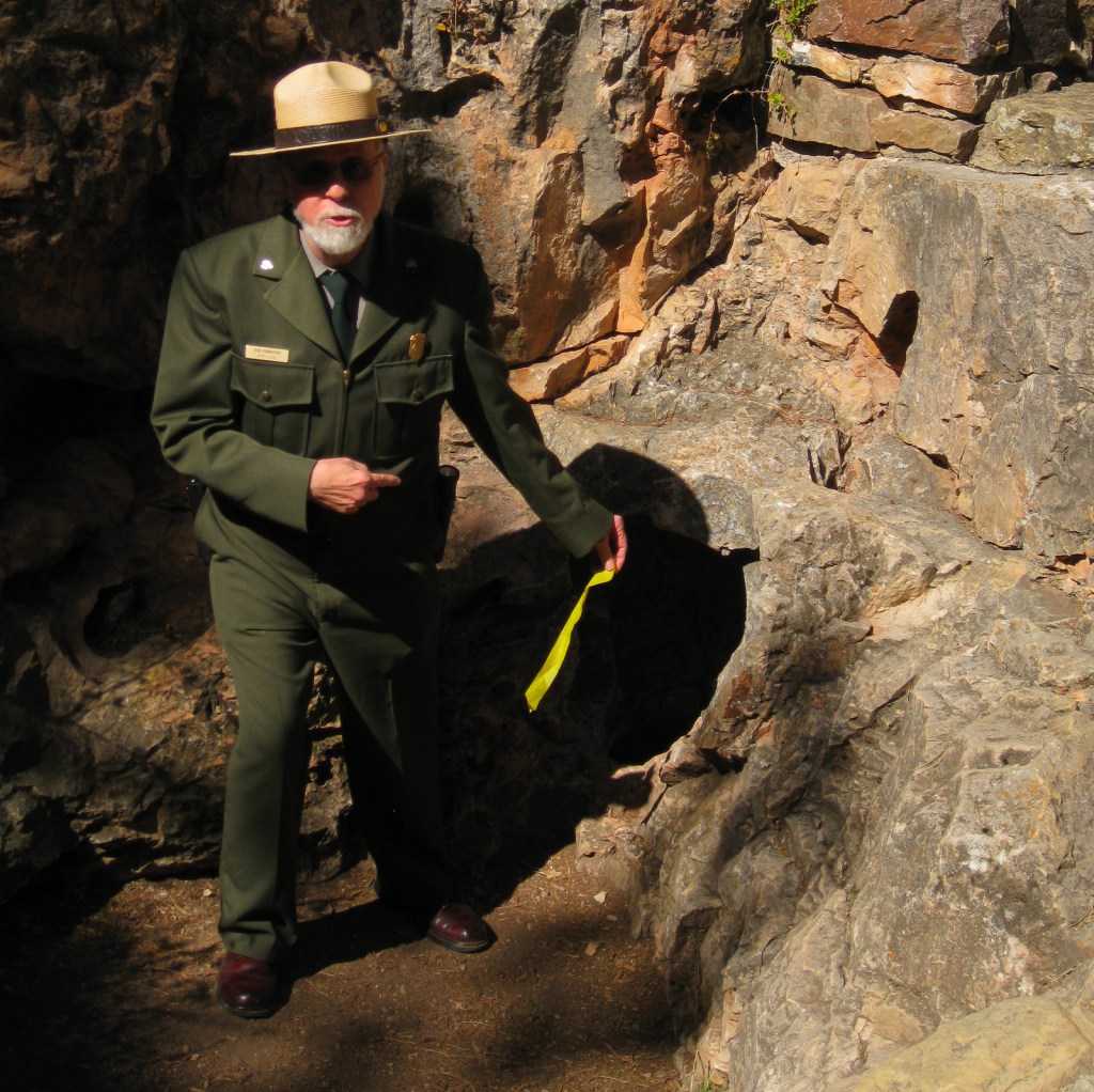
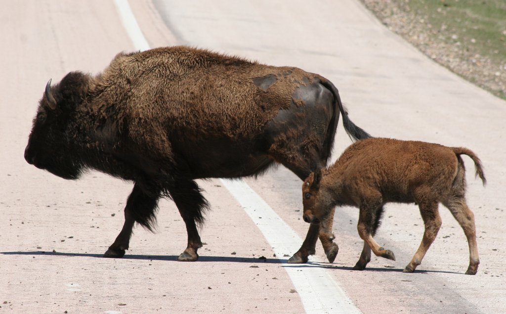
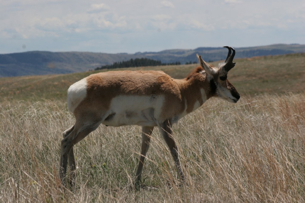
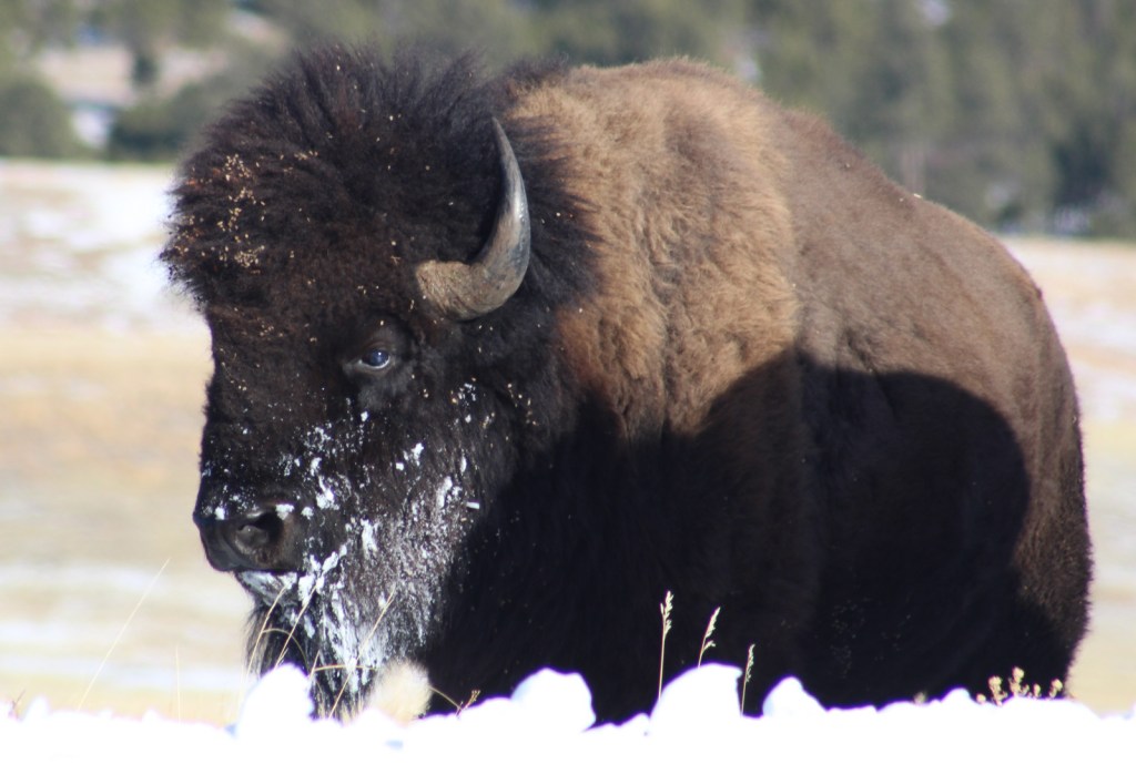
The seventh-longest mapped cave in the world, Wind Cave was discovered in 1881 by Black Hills settlers who noticed a whistling sound coming from its narrow natural entrance.  It was named a national park in 1903 and is famous for its boxwork calcite formations.  The National Park has a herd of approximately 400 bison, in addition to pronghorns, prairie dogs, turkeys, coyotes, white-tailed deer, and elk.

Learn more in our guidebook A Park to Yourself: Finding Adventure in America’s National Parks (available on Amazon).

Highlights

Museum, cave tours, Rankin Ridge lookout tower, Highland Creek Trail, wildlife

Must-Do Activity

The interior of Wind Cave is a constant 53°F, so bring a jacket if you sign up for one of several tours.  For first-timers we recommend the Natural Entrance Tour, which involves entering a vapor lock revolving door and stair steps, not squeezing through the actual tiny natural entrance.  On the Candlelight Tour you carry lightweight metal candle-lanterns, just like 19th-century tourists.  It is only offered in the summer and explores an unlit section of the cave, but no cameras are allowed due to the open flames. 

Best Trail

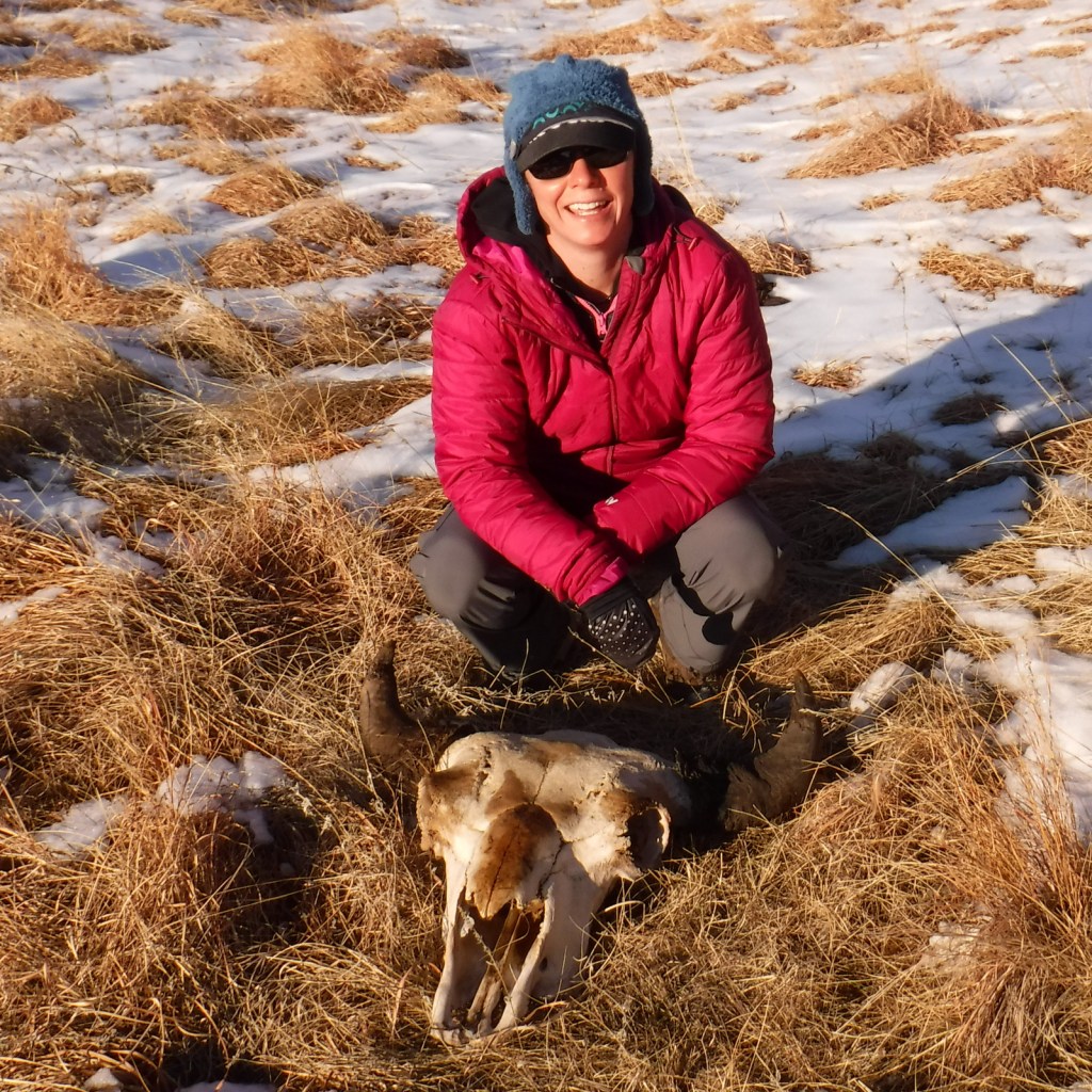
There are several good trails that traverse the prairie and canyons that can be connected in a variety of loops.  We enjoy backpacking (free permit required) on Highland Creek Trail, where we always see bison.

Instagram-worthy Photo

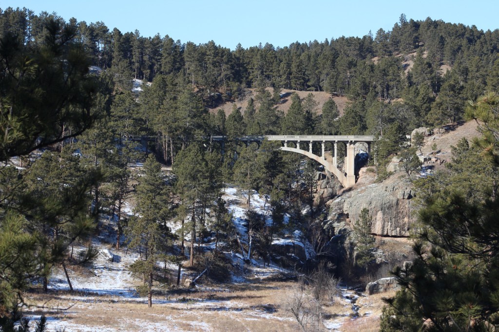
We have always loved the view of this bridge on Highway 87 over Beaver Creek.  There is also a wooden trestle “Pigtail Bridge” further down the road.

Peak Season

Summer

Hours

https://www.nps.gov/wica/planyourvisit/hours.htm

Fees

None for entry, but $12 per person for each cave tour ($30 for Wild Cave)

Road Conditions

The main roads are paved, but bison are most commonly spotted along Road 5, a graded dirt road through the scenic eastern section of the park bordering Custer State Park (admission fee).

Camping

The NPS runs Elk Mountain Campground or you can backpack camp with a free permit from the visitor center.  The surrounding Black Hills National Forest offers campgrounds and dispersed camping.

Related Sites

Jewel Cave National Monument (South Dakota)

Mount Rushmore National Memorial (South Dakota)

Badlands National Park (South Dakota)

This design we created to celebrate Wind Cave National Park is available on a variety of products at Cafe Press and Amazon.

Explore More – Wind Cave contains what percentage of the boxwork calcite formations discovered in the entire world?

We are a participant in the Amazon Services LLC Associates Program, an affiliate advertising program designed to provide a means for us to earn fees by linking to Amazon.com and affiliated sites.

Joshua Tree National Park

Overview

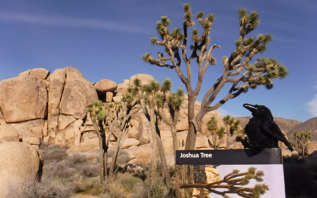
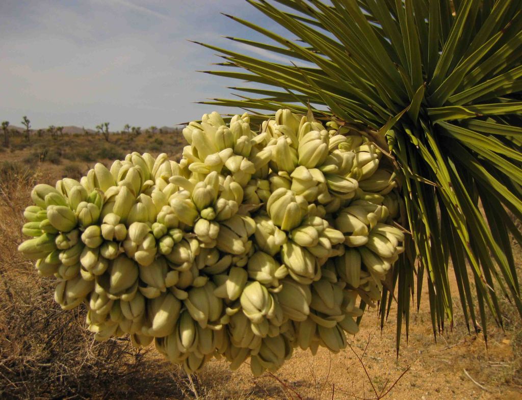
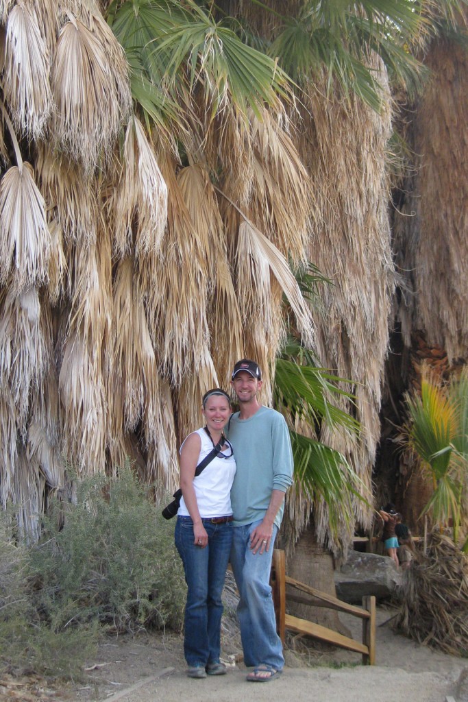
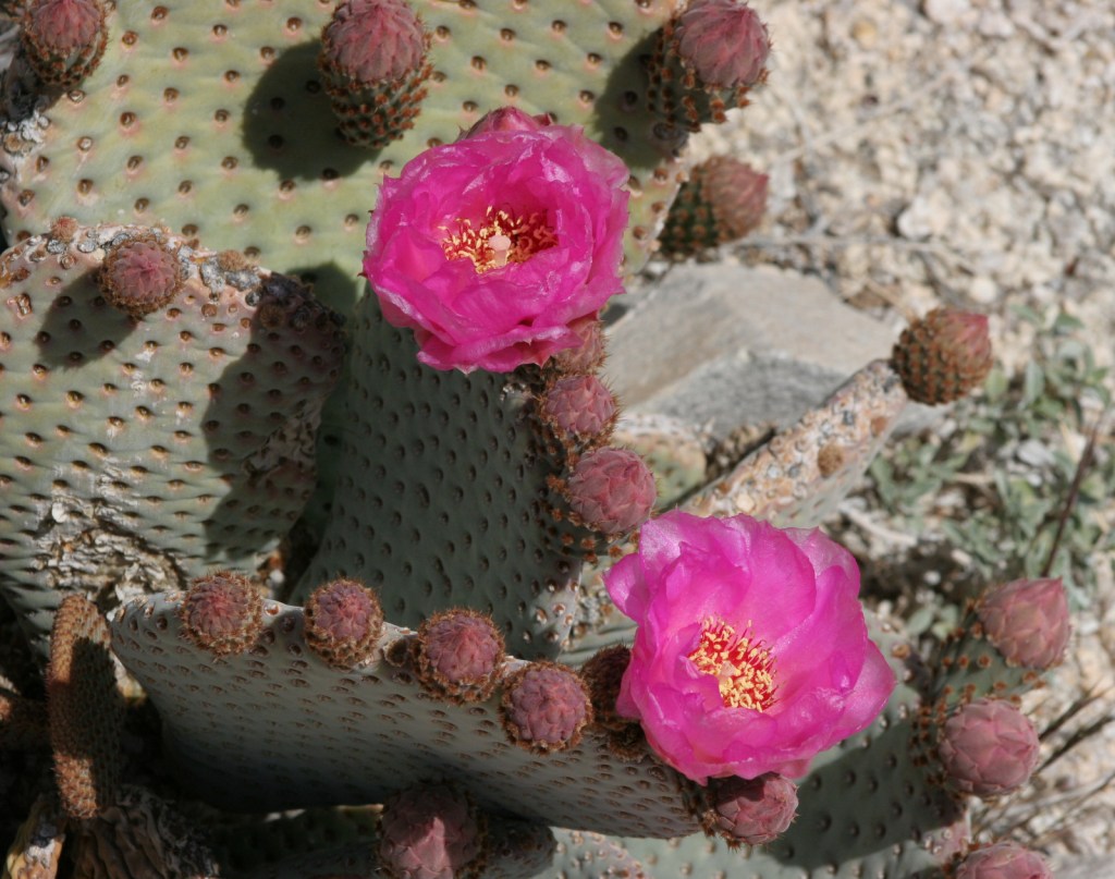
This National Park in southern California is named for a tall yucca plant that grows there in large numbers, but it also contains many other interesting desert life forms and neat rock formations.  In the less-developed southern portion of the park, be sure to stop at the palm trees at Cottonwood Spring, Cholla Cactus Garden, and Ocotillo Patch to learn more about how these unique plants have adapted to survive the harsh desert conditions. 

Learn more in our guidebook to the 62 National Parks, A Park to Yourself: Finding Adventure in America’s National Parks (available on Amazon).

Highlights

Jumbo Rocks, Keys View, Arch Rock, Cottonwood Spring, rock climbing

Must-Do Activity

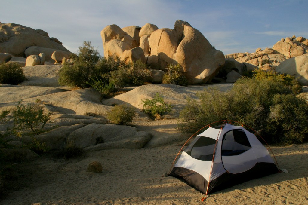
Due to its proximity to Los Angeles, the park gets very busy on Easter weekend (in addition to Thanksgiving weekend).  Campgrounds, like scenic Jumbo Rocks, fill up early.  Other than rock climbing opportunities, the biggest attraction is the myriad of colorful wildflowers that bloom in the spring (including the Joshua trees).

Best Trail

There are many fun hiking options located throughout the park (which are detailed in our guidebook).  At White Tank Campground you can pick up the Arch Rock Nature Trail, which forms a short loop that passes an interesting arch.

Instagram-worthy Photo

Chuckwallas are huge lizards that can grow up to 18 inches long and are related to iguanas.  Chuckwallas can inflate themselves as a defense mechanism so that predators cannot remove them from narrow cracks in the rock. 

Peak Season

Spring and fall

Hours

https://www.nps.gov/jotr/planyourvisit/hours.htm

Fees

$30 per vehicle or America the Beautiful pass

Road Conditions

All major roads are paved, but there are many dirt roads to explore with the right vehicle.

Camping

There are numerous NPS campgrounds located throughout the park, and some take reservations.  The scenic Jumbo Rocks Campground is popular with rock climbers.

Related Sites

Death Valley National Park (California)

Mojave National Preserve (California)

Castle Mountains National Monument (California)

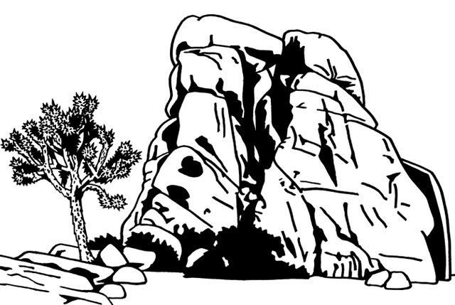
This design we created to celebrate Joshua Tree National Park is available on a variety of products at Cafe Press and Amazon.

Explore More – How tall can Joshua trees grow?

We are a participant in the Amazon Services LLC Associates Program, an affiliate advertising program designed to provide a means for us to earn fees by linking to Amazon.com and affiliated sites.

Big Cypress National Preserve

Overview

Big Cypress National Preserve was originally planned to be a part of Everglades National Park (established in 1947), but this wild area to the north did not gain federal protection until 1974.  There are few roads and trails in the 729,000-acre preserve, which makes it ideal habitat for the endangered Florida panther.  The easiest access points are along Alligator Alley (Interstate 75) or the Tamiami Trail (Highway 41).  While many of the “trails” require route-finding and slogging through deep water, there are also designated ATV and canoe trails located throughout the park.

Highlights

Kirby Storter Roadside Park, Big Cypress Bend Trail, canoeing

Must-Do Activity

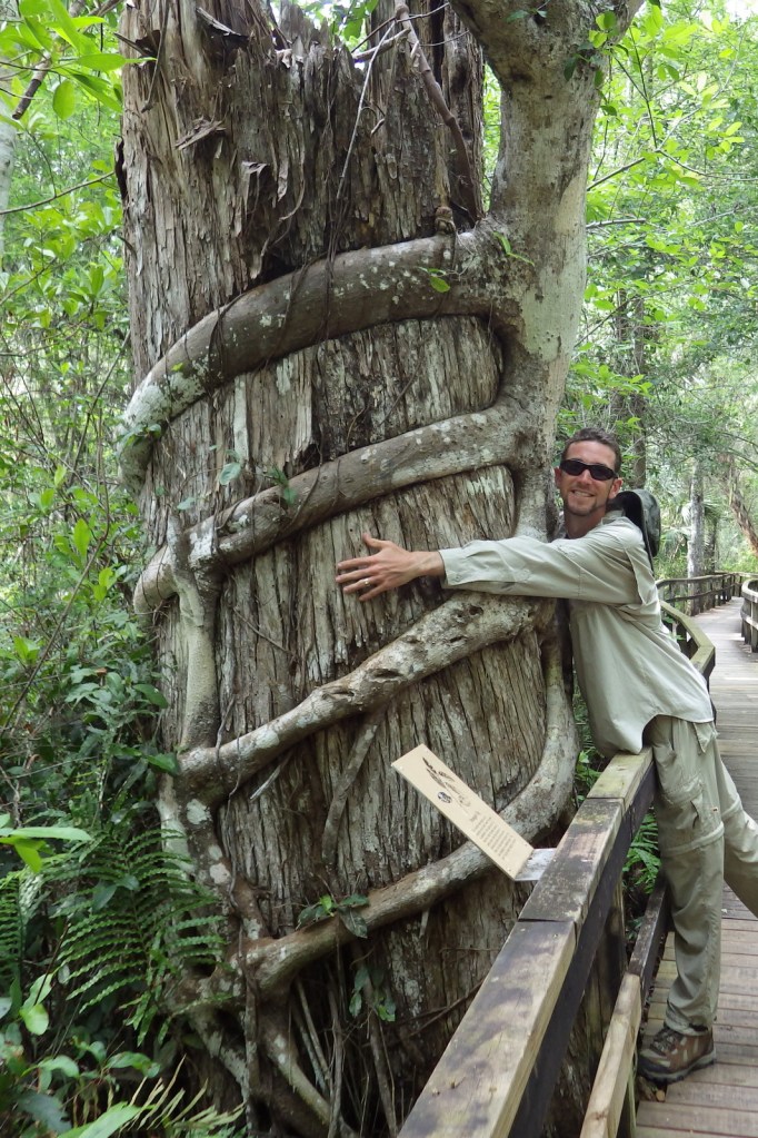
Many of the baldcypress and pond cypress trees that once stood here were logged in the 1930s and 1940s.  At the Kirby Storter Roadside Park, you can still see some large examples of these trees famous for their buttressed boles and root nodules, or “knees,” that stand above the high water level.  We previously reported on these unique deciduous conifers at Congaree National Park in South Carolina, but here they grow right alongside tall palm trees that we typically associate with sandy beaches. 

Best Trail

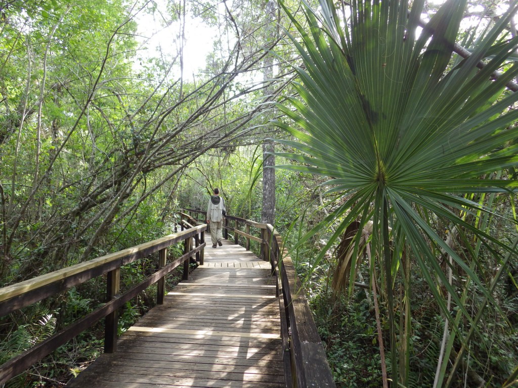
Many of the trails in the park are underwater and require slogging.  Two exceptions with boardwalks are at Kirby Storter Roadside Park and Big Cypress Bend (technically within Fakahatchee Strand Preserve State Park).

Instagram-worthy Photo

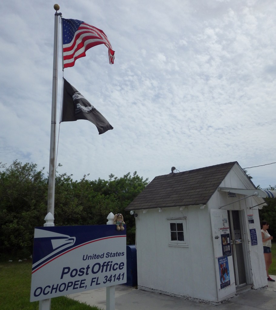
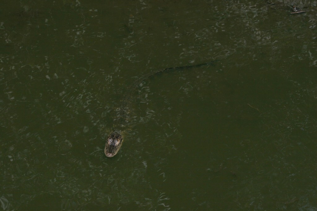
Wherever you look, you are likely to spot an alligator or two in this wild section of south Florida.  An extra photo-op can be found at the smallest post office in the United States, a former irrigation pipe shed located in Ochopee, Florida since 1953.

Peak Season

Winter

Hours

https://www.nps.gov/bicy/planyourvisit/hours.htm

Fees

None (except for off-road vehicle permits)

Road Conditions

Highway 41 and Interstate 75 are paved, but just about every other road in the park is sandy (and/or submerged) and should only be attempted with an ATV or swamp buggy.

Camping

The NPS offers two campgrounds along Highway 41 (there is also one in Collier-Seminole State Park), as well as designated primitive wilderness sites.

Related Sites

Everglades National Park (Florida)

De Soto National Memorial (Florida)

Big Thicket National Preserve (Texas)

Explore More – What are the five main habitat types protected within the preserve?

Mojave National Preserve

Overview

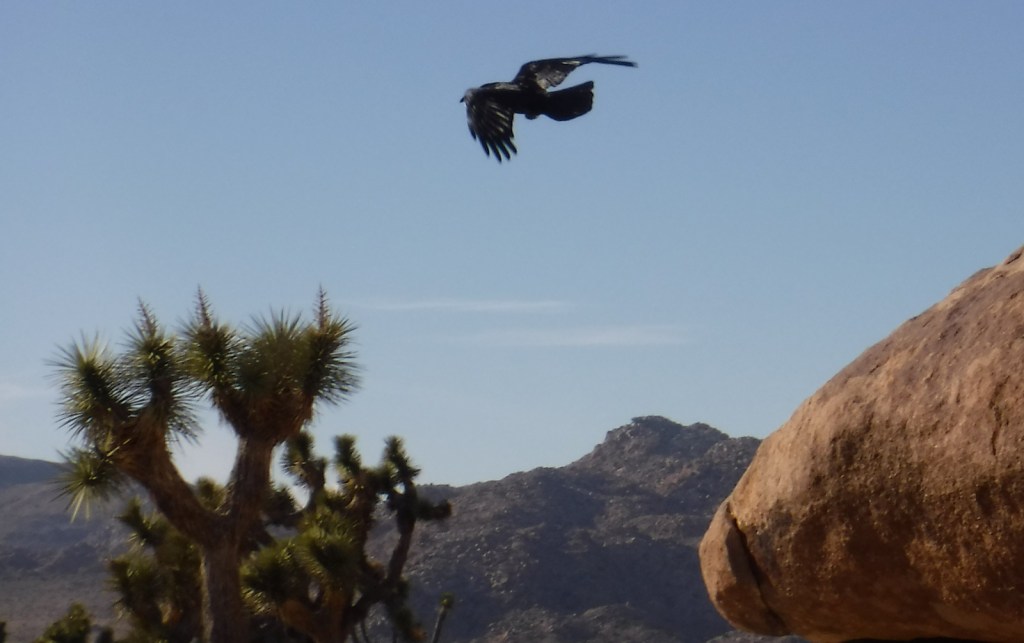
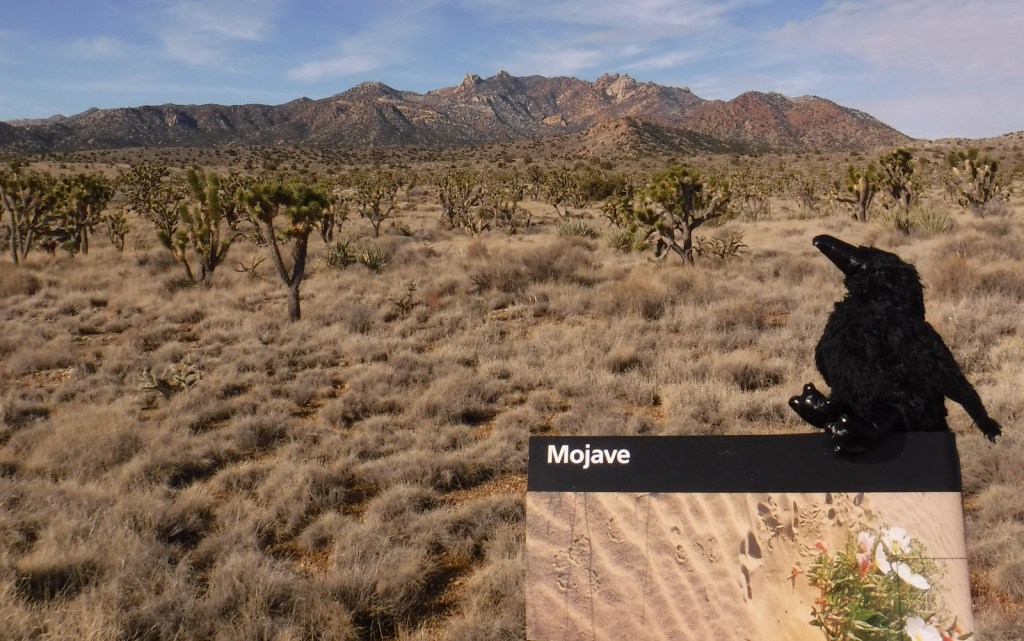
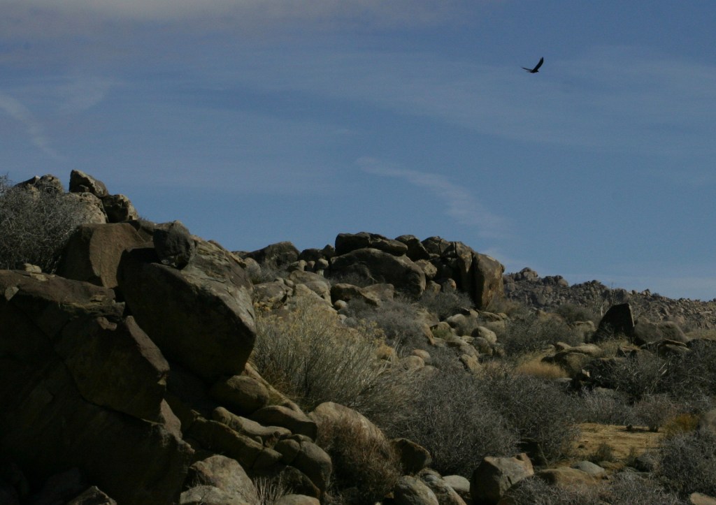
Mojave National Preserve is a massive 1.6-million acres of desert bounded by Interstate 15 to the north and Interstate 40 to the south.  Passed by millions of commuters every year, it does not take many miles of driving to leave behind the bustling freeways for a quiet landscape.  Species diversity is high here given its elevation range from 800 to 7,929 feet and its place at the intersection of three deserts: the Mojave, Great Basin, and Sonoran.  Watch for desert tortoises, Mojave rattlesnakes, roadrunners, ravens, kangaroo rats, mountain lions, mule deer, and some of the 1,000 bighorn sheep that reside in the preserve.

Highlights

Kelso Depot, film, Kelso Dunes, Hole-in-the-Wall Nature Trail, Rings Loop Trail

Must-Do Activity

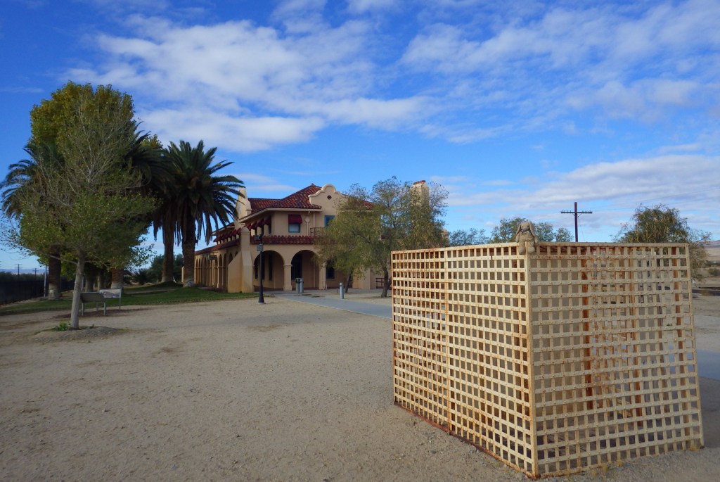
If you are driving on I-15 between California and Nevada consider entering the preserve via the Cima Road exit, with a first stop at its gas station’s interesting waterfall urinal in the men’s restroom.   From there drive south on a paved road into a dense Joshua tree forest on the gently sloping flanks of the enormous Cima Dome (an extinct volcano) and then stop at Kelso Depot where the National Park Service (NPS) operates a visitor center and museum.  From there you can continue south to the beautiful Kelso Dunes or take the paved Kelbaker Road back to Interstate 15 at Baker, home of the world’s tallest thermometer.

Best Trail

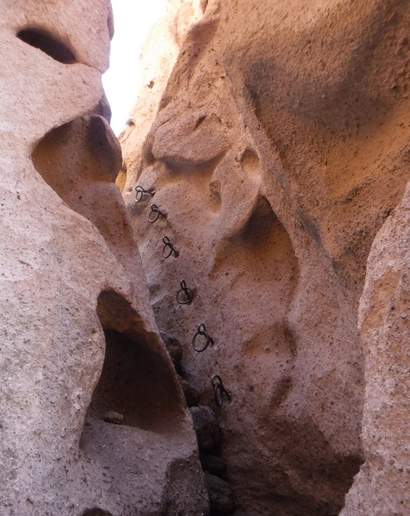
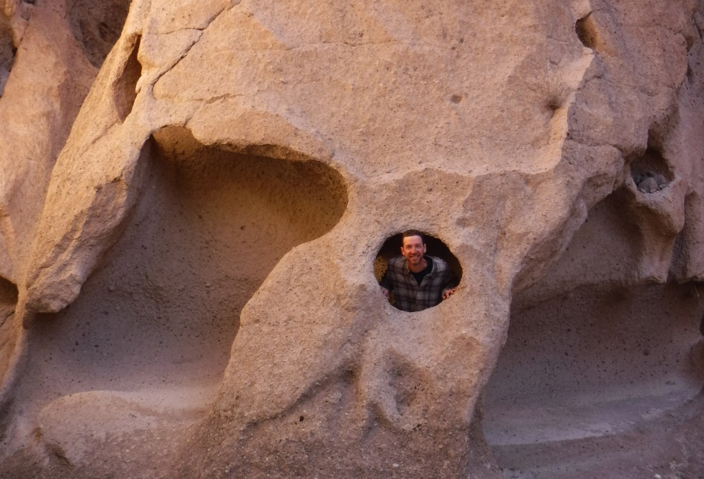
The one-mile Rings Loop Trail has metal rings cemented into its canyon walls in some places to help you ascend and descend steep portions.  Hole-in-the-Wall Nature Trail and the six-mile Barber Peak Loop Trail are also found in this area near the NPS campgrounds.

Instagram-worthy Photo

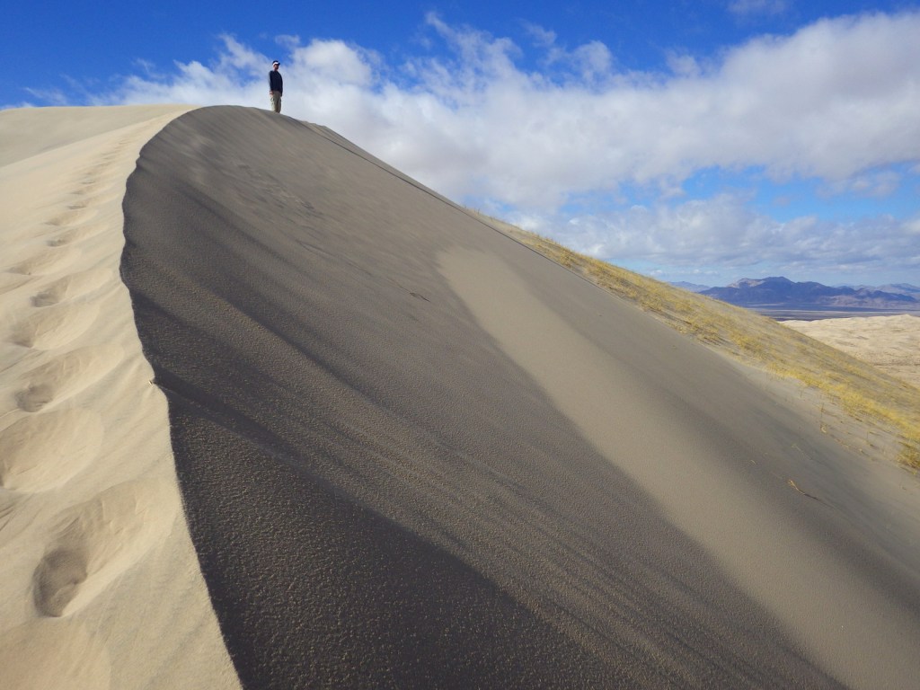
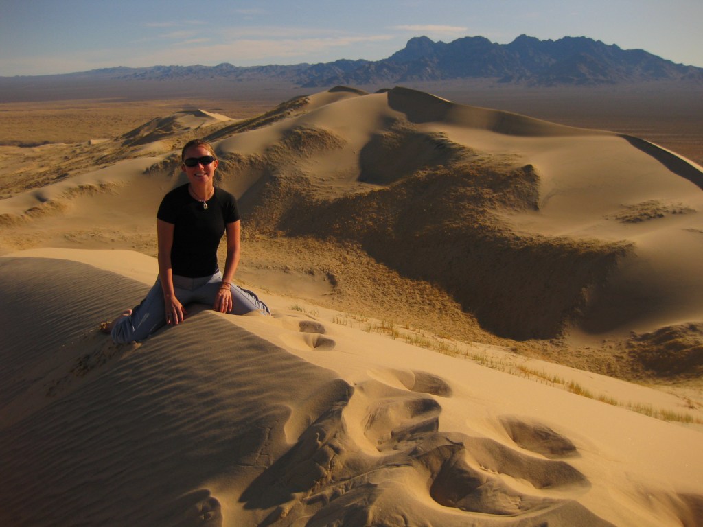
We love sand dunes (see our Top 10 list) and one of our favorites is the nearly 700-foot tall Kelso Dunes, which create a booming sound when the sand shifts and moisture conditions are right.

Peak Season

Spring and fall

Hours

https://www.nps.gov/moja/planyourvisit/hours.htm

Fees

None

Road Conditions

The main roads are paved, however, most of the 1,000 miles of roads are unpaved and some of them require a high-clearance vehicle, especially if you want to access neighboring Castle Mountains National Monument.

Camping

Dispersed camping is allowed throughout most of the preserve, but there are also NPS campgrounds around the Hole-in-the-Wall Ranger Station.

Related Sites

Castle Mountains National Monument (California)

Joshua Tree National Park (California)

Death Valley National Park (California)

Explore More – How many acres of Wilderness are designated within Mojave National Preserve?