Yosemite National Park
California
Managed by National Park Service
Established 1890
747,956 acres
Website: nps.gov/yose
Overview
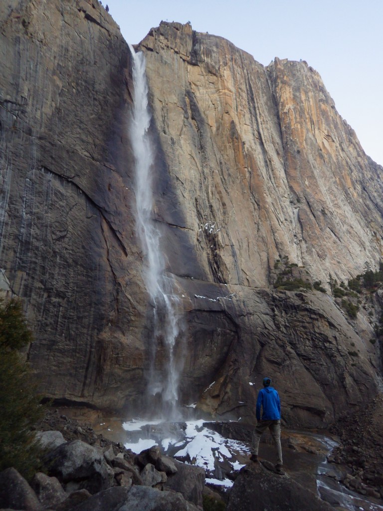
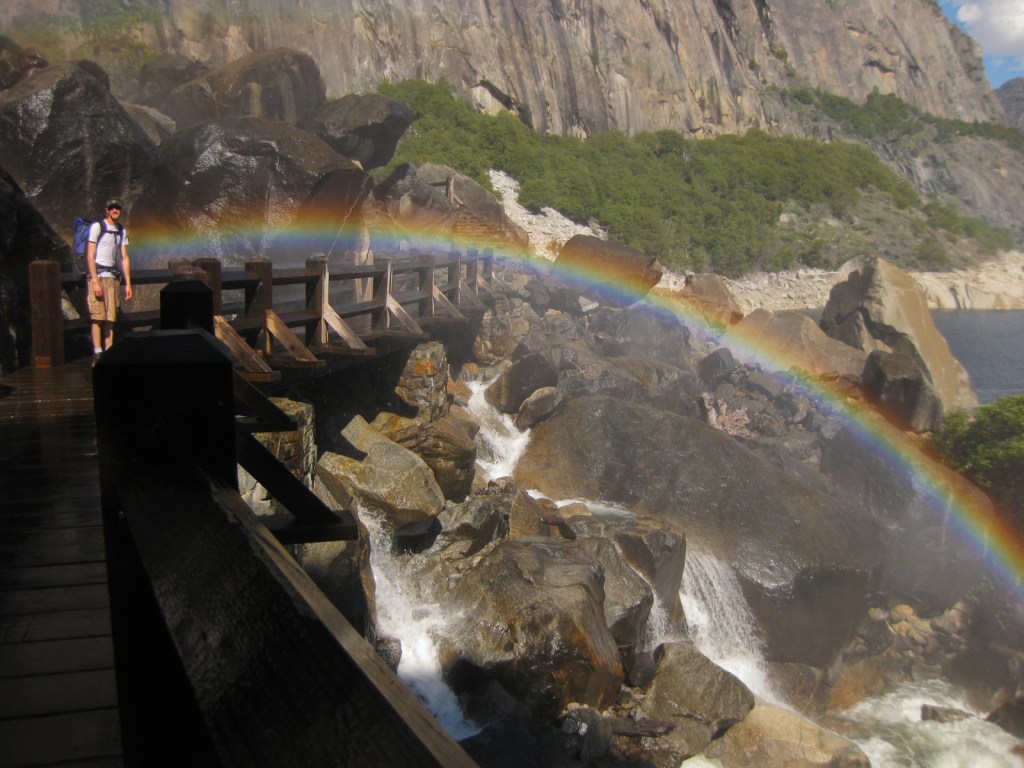
Given its 4-million annual visitors, it can be hard to practice social distancing at Yosemite National Park. In the summer, it can even be difficult to find parking in bustling Yosemite Valley. The legendary valley is home to El Capitan and Half Dome, rock formations known around the world, as well as countless waterfalls. There are places to find solitude in the popular park, though.
Know someone who loves National Parks? Gift them our travel guide A Park to Yourself: Finding Solitude in America’s 63 National Parks.
Highlights
Yosemite Valley, Glacier Point, Tuolumne Meadows, Mariposa Grove
Must-Do Activity
When entering Yosemite Valley on Highway 41 from the south, your first sight of the valley is stunning upon emerging from a long tunnel. You simply have to stop at the iconic Tunnel View parking area. Although the forest here is denser than in the past, the scene has not changed much since President Lincoln signed the bill to preserve this area in 1864. While the Yosemite Valley can get incredibly busy during peak tourist season, hike a mile up a trail and you might find a solitary place to enjoy one of the numerous waterfalls.
Best Trail
Formerly a paved tram route, the trail through the Mariposa Grove of giant sequoia trees is a major highlight outside Yosemite Valley. We especially enjoyed snowshoeing there in the winter.
Instagram-worthy Photo
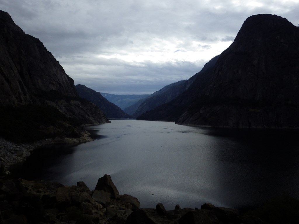
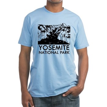
From May to November, you can drive up to Glacier Point for great views into Yosemite Valley from the cliffs above. We chose this overlook for our original logo of Yosemite National Park (see below).

Peak Season
Summer
Hours
https://www.nps.gov/yose/planyourvisit/hours.htm
Fees
$35 per vehicle or America the Beautiful pass
Road Conditions
All roads are paved, even the one that goes over 9,945-foot high Tioga Pass, which crosses the Sierra Nevada and is closed in the winter (as is Glacier Point Road, though it remains open to cross-country skiers).
Camping
There are multiple campgrounds within the park and some take reservations, but there are no RV hookups except outside the park.
Related Sites
Sequoia National Park (California)
Devils Postpile National Monument (California)
Whiskeytown National Recreation Area (California)


Explore More – John Muir wrote extensively about the Yosemite Valley and Sierra Nevada, but many of his readers do not know he was an immigrant to America; in what country was he born?

Know someone who loves National Parks? Gift them our travel guide A Park to Yourself: Finding Solitude in America’s 63 National Parks.