Boise National Forest
Idaho
Managed by U.S. Forest Service, Intermountain Region
2,959,305 acres (2,654,004 federal/ 305,301 other)
Website: https://www.fs.usda.gov/boise
Overview
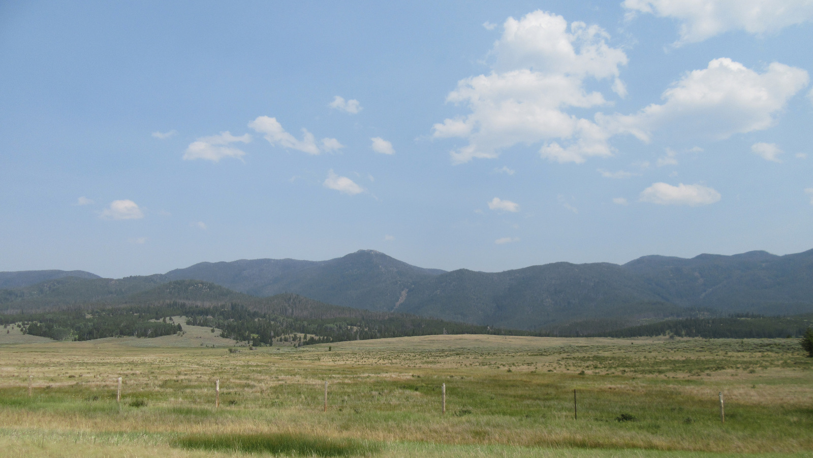
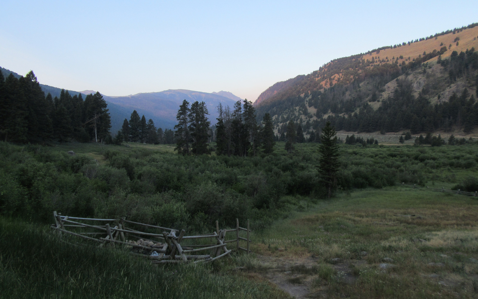
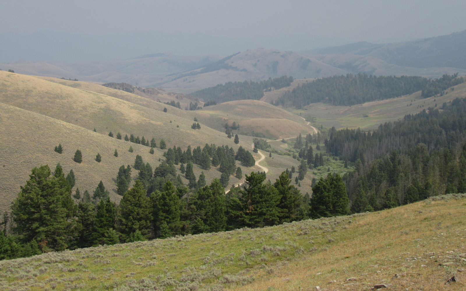
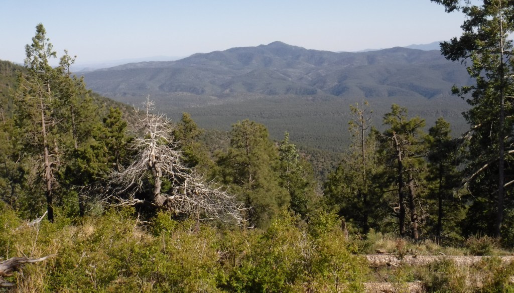
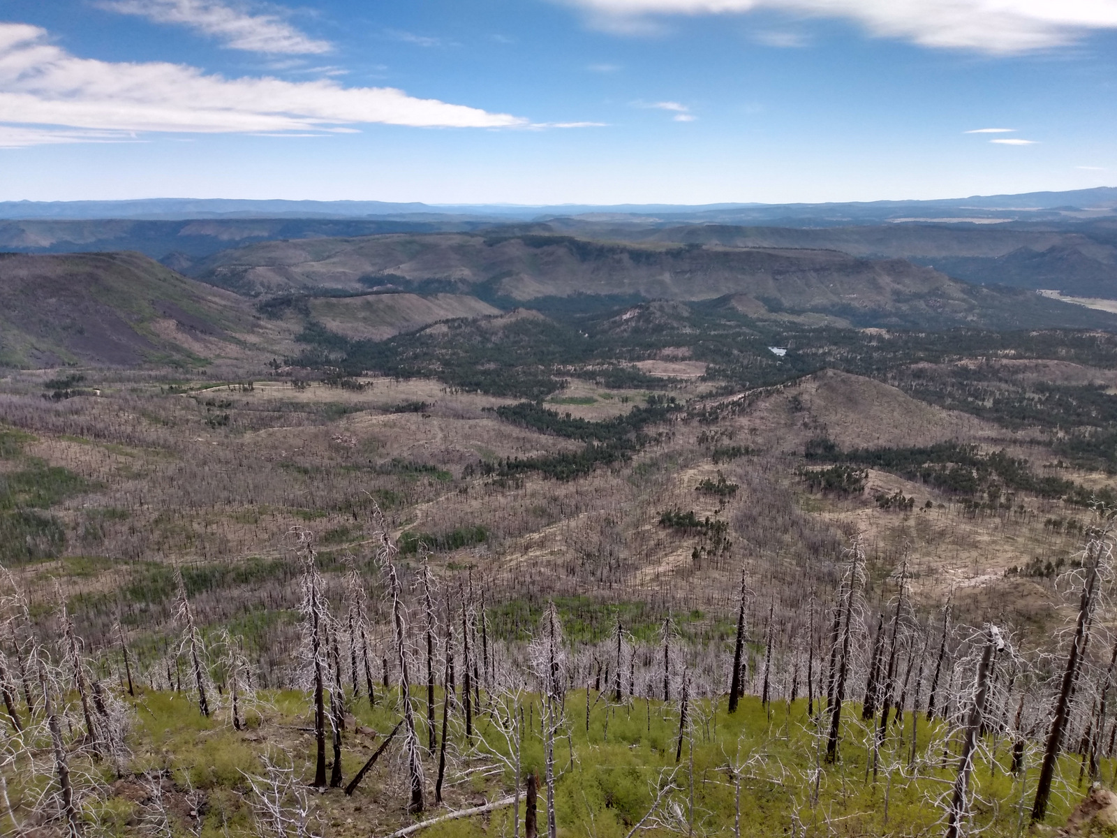
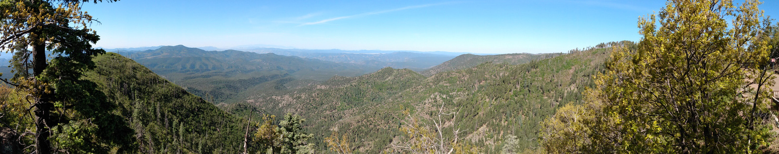
Boise National Forest is famous for its gold rush ghost towns and hot springs along the South Fork of the Payette River. The best way to explore this National Forest is by stopping along three scenic byways: Ponderosa Pine (Highway 21), Wildlife Canyon (Highway 24), and Payette River (Highway 55) Scenic Byways. Ghost towns dating back to the 1860s include Atlanta, Banner, Brummer, Graham, Pioneerville, Quartzburg, Thunder, and the more-developed Idaho City.

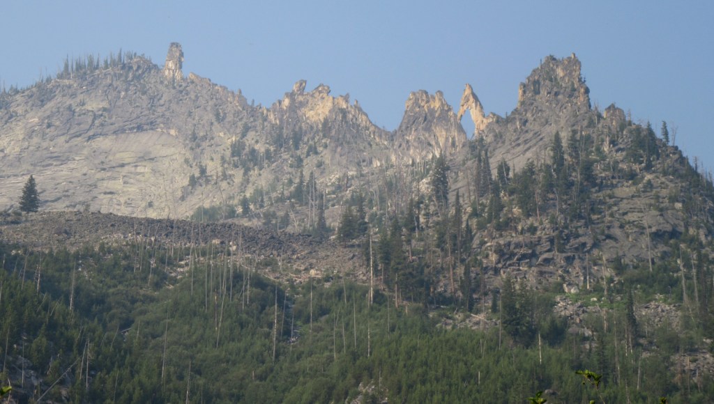
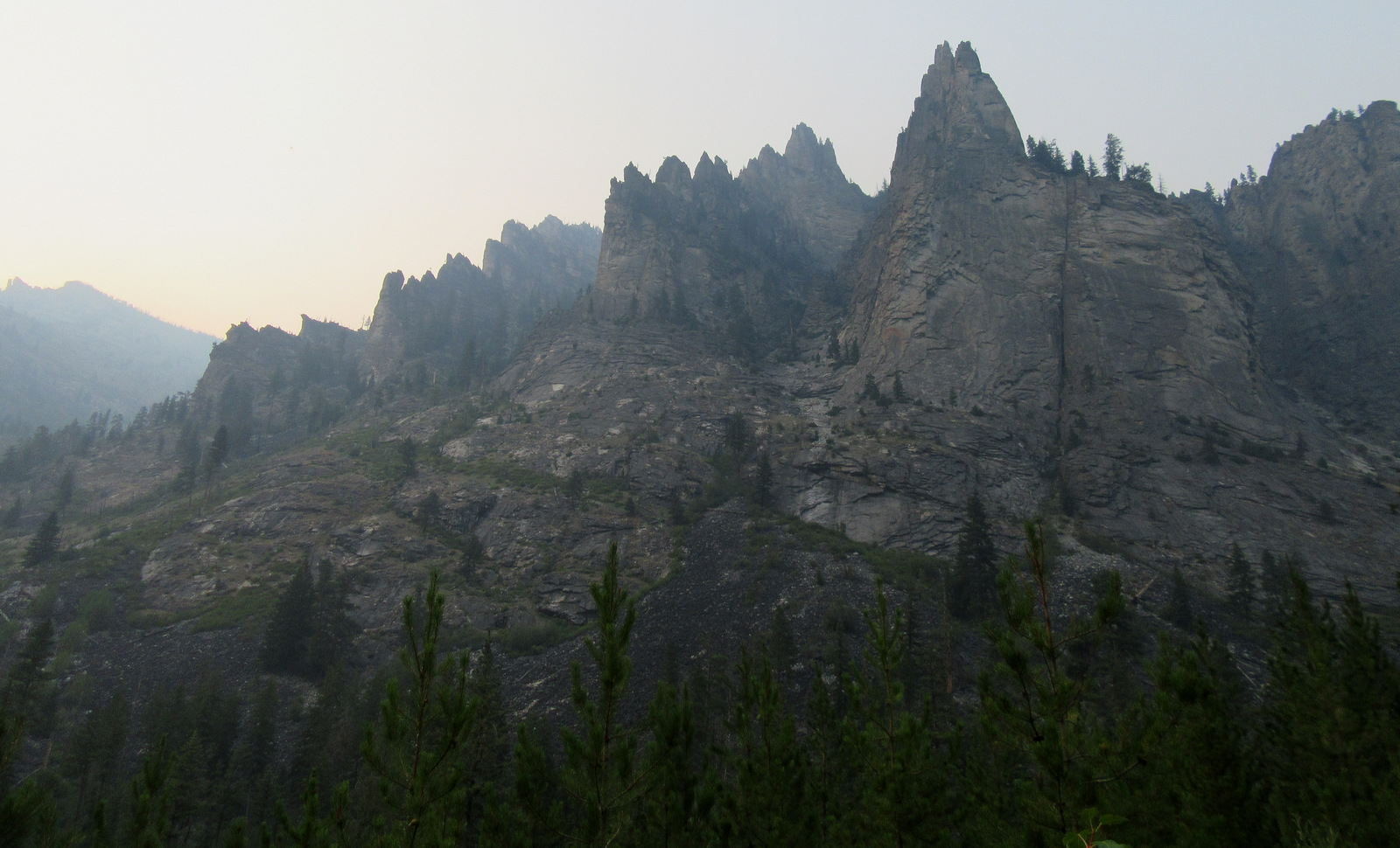
Highlights
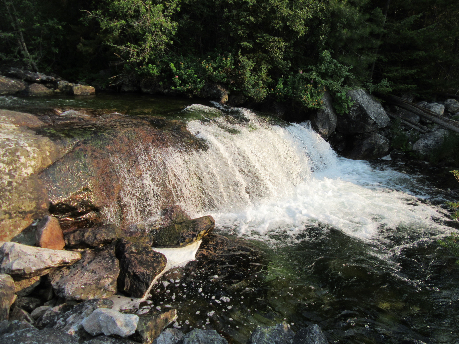
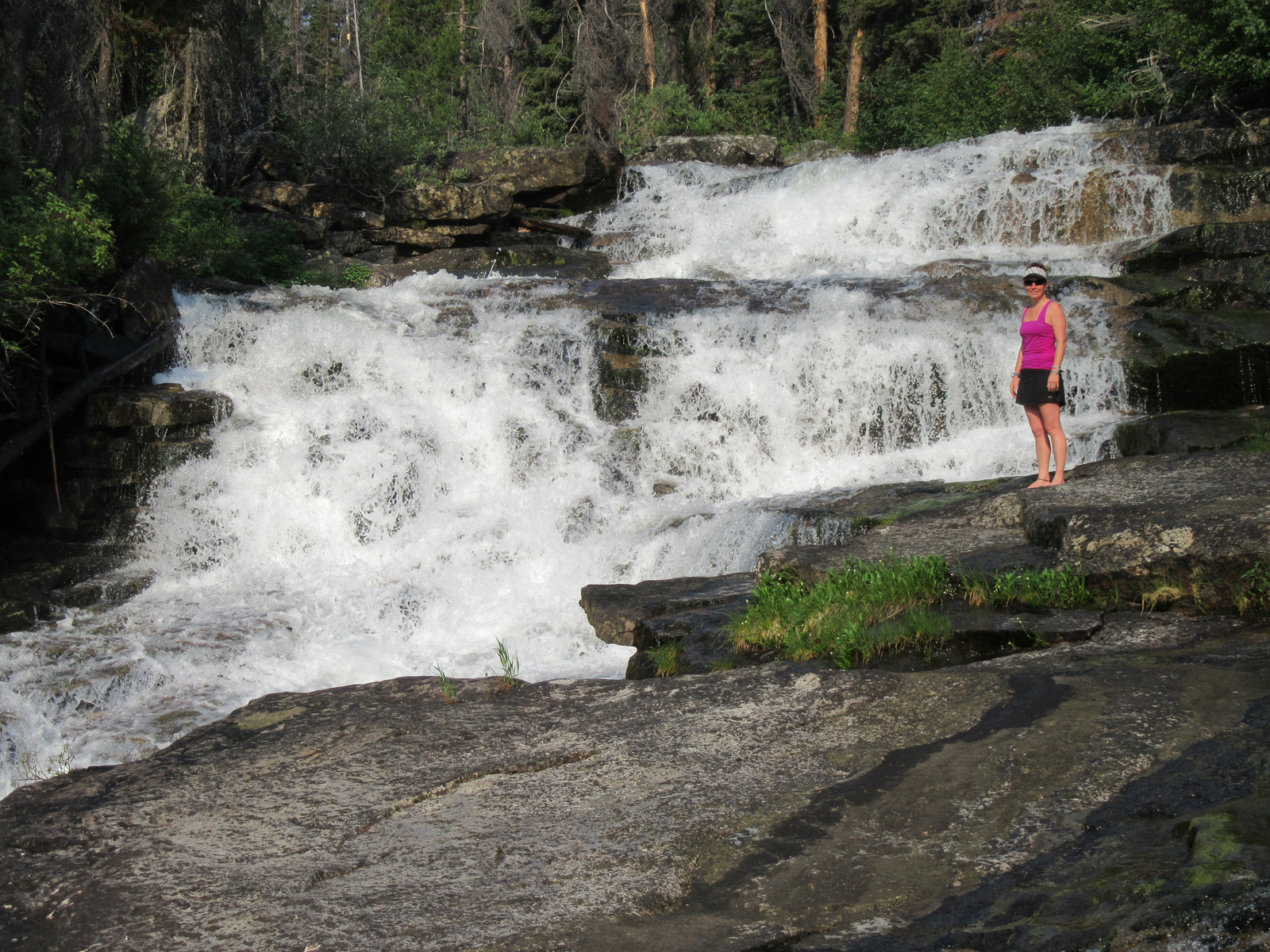
Sawtooth National Recreation Area, Payette River Scenic Byway, Big Falls, Ponderosa Pine Scenic Byway, Kirkham Hot Springs, Sage Hen Reservoir, Dagger Falls, Atlanta ghost town, Trinity Recreation Area, Ardeth Lake, Velvet Falls, Baron Lakes, Kirkham Ridge Trail, Idaho Centennial Trail
Must-Do Activity
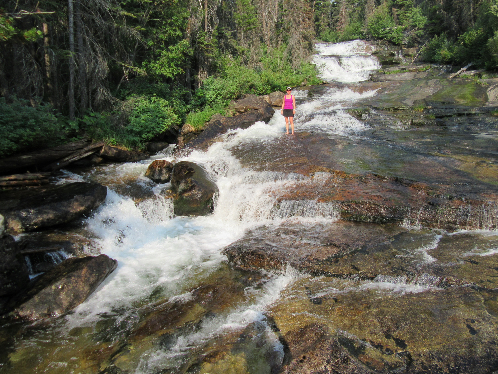
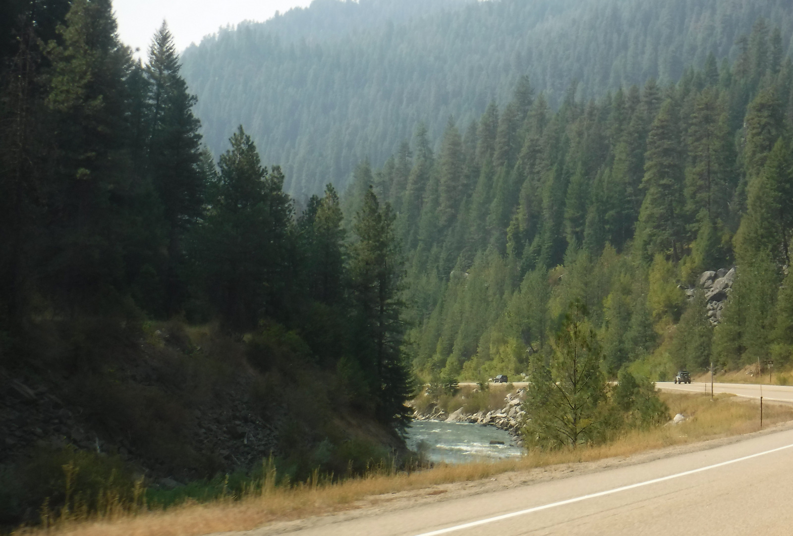
Starting in Boise, Idaho, the Ponderosa Pine Scenic Byway (Highway 21) leads 131 miles northeast through Boise National Forest. Be sure to stop (and try some delicious huckleberry ice cream) in Idaho City, where wooden board sidewalks and unpaved streets take you back to the gold rush era. Ponderosa Pine Scenic Byway continues to Lowman where it follows the South Fork of the Payette River past the campgrounds at Kirkham and Bonneville Hot Springs (reservations recommended) and up to 7,056-foot Banner Summit at the boundary with Challis National Forest.
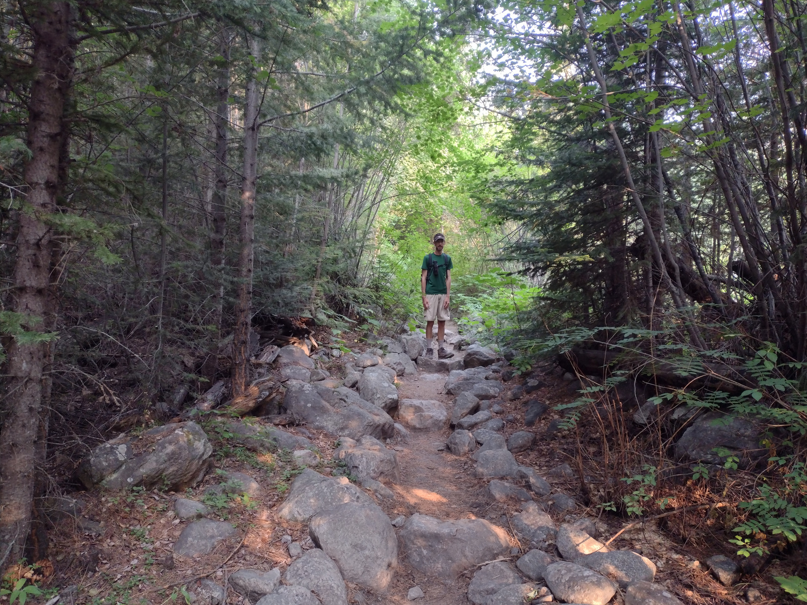
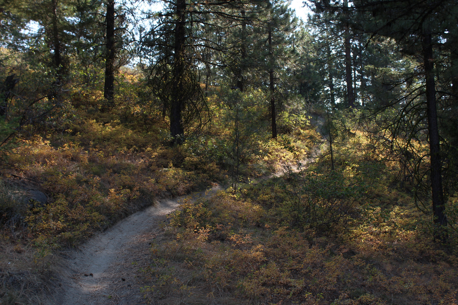
Best Trail
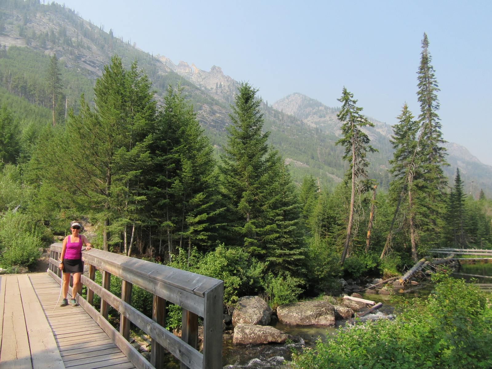
Located just three miles east of Highway 55 and Lake Cascade along paved Warm Creek Road is the Eagle Nest Trail. Look for the parking pullout on the south side of the road across from the big rock that marks the entrance to the Eagle Nest neighborhood. After crossing the road, the Eagle Nest Trail steadily climbs (from 4,850 to 6,050 feet in the first 2.5 miles) and occasionally opens up for views of the mountains above Cascade Lake. Located further south, Fool Creek Trail drops 2,728 feet in 4.1 miles to the Middle Fork of the Payette River.
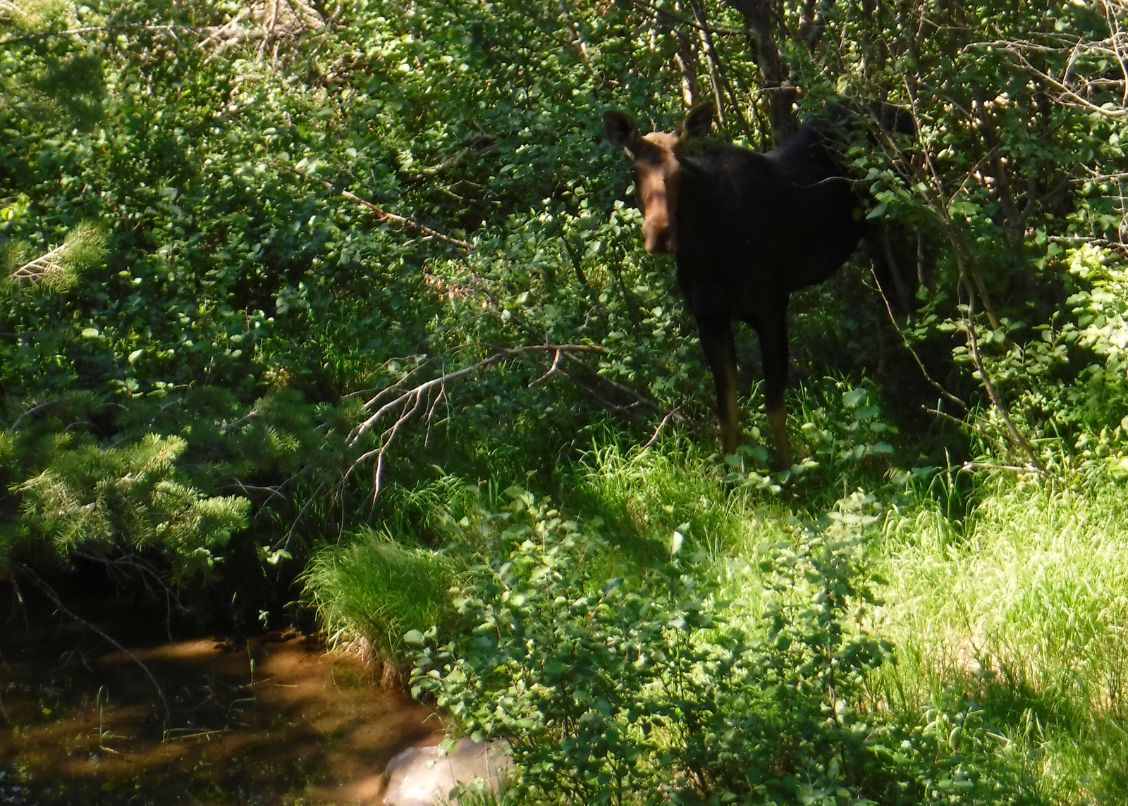
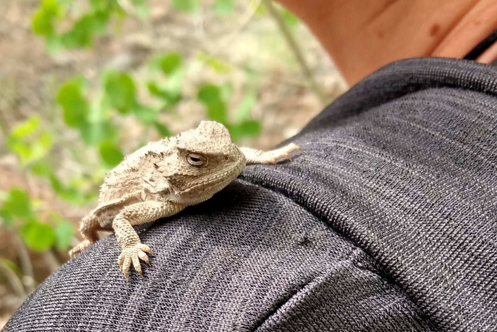
Watchable Wildlife
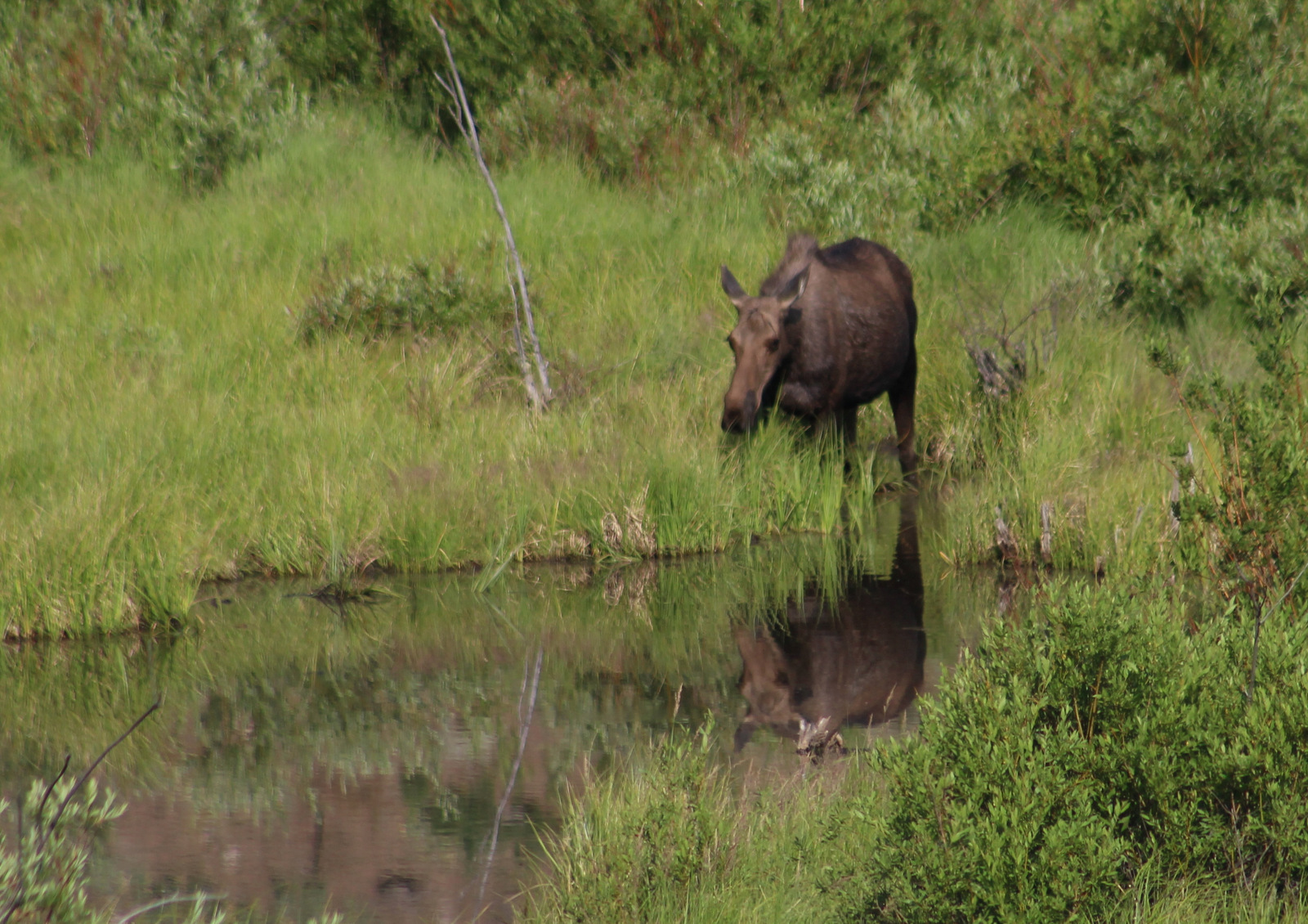
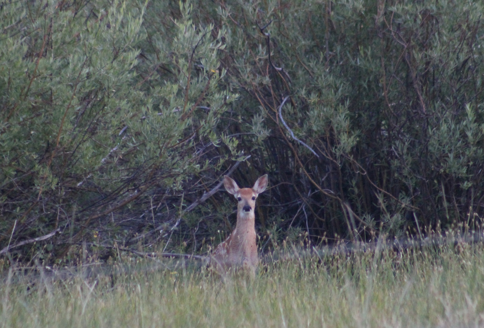
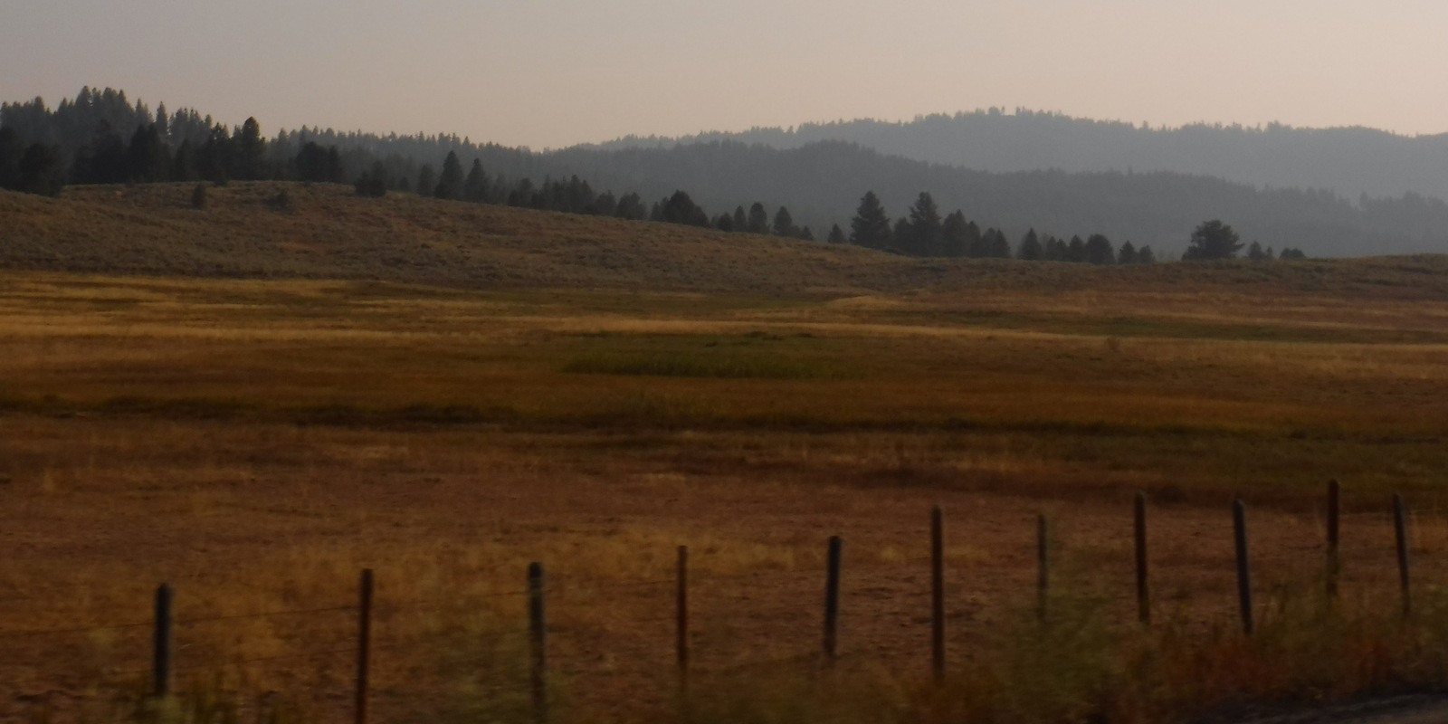
On a smoky September morning on the Eagle Nest Trail, we saw fresh turkey and mule deer prints in the dirt. Other common large animals include elk, moose, pronghorns, coyotes, and black bears. At higher elevations watch for mountain goats, pikas, and yellow-bellied marmots. In addition to several trout species, chinook and sockeye salmon migrate up the Columbia and Snake Rivers. Non-migratory Kokanee salmon are native to Warm Lake, plus introduced into Anderson Ranch, Arrowrock, Lucky Peak, and Deadwood Reservoirs.
Instagram-worthy Photo
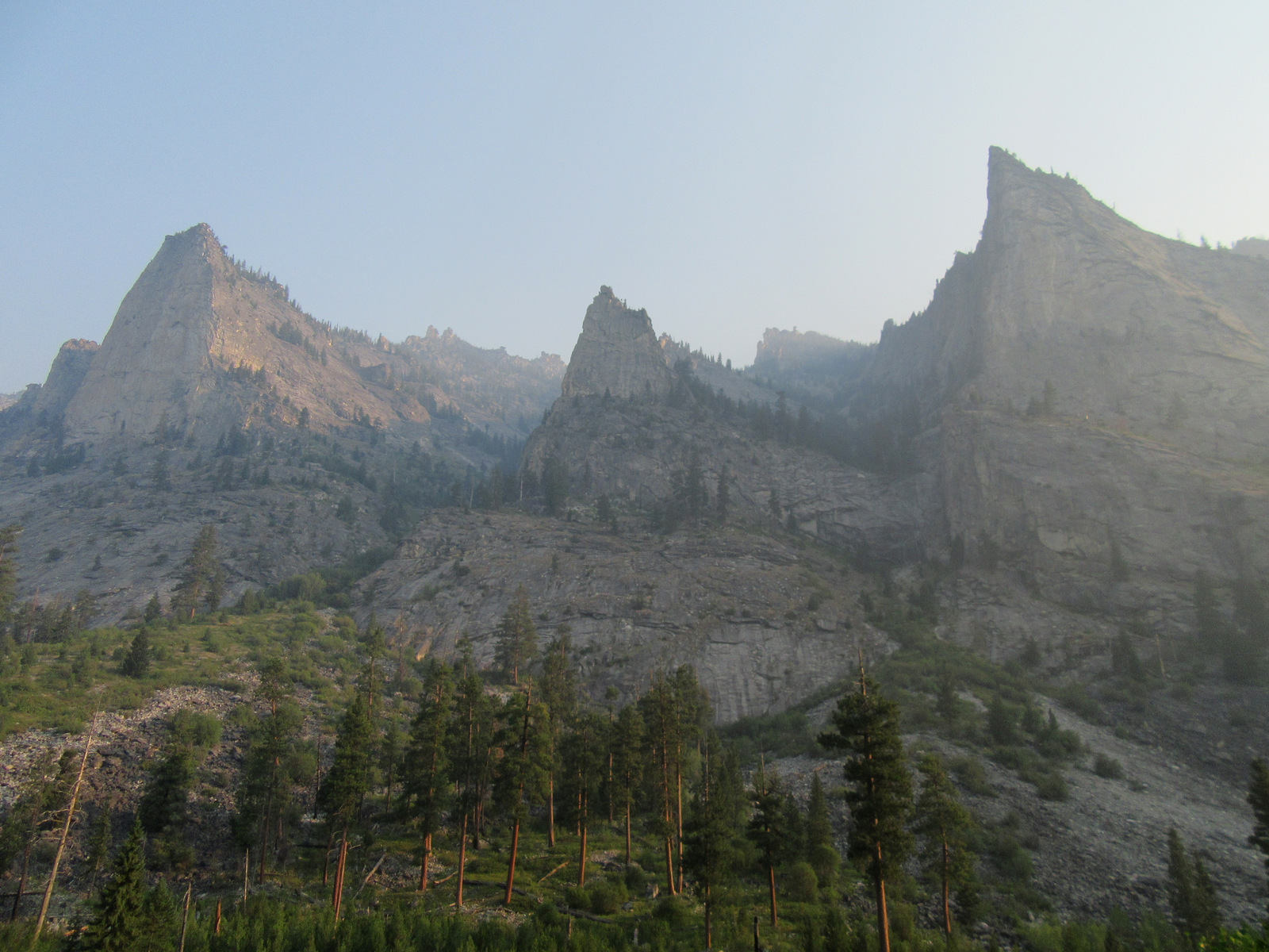
In Sawtooth National Recreation Area, 10,190-foot Mt. Regan stands at the south end of Sawtooth Lake marking the boundary between Challis and Boise National Forests.

Peak Season
Summer
Fees
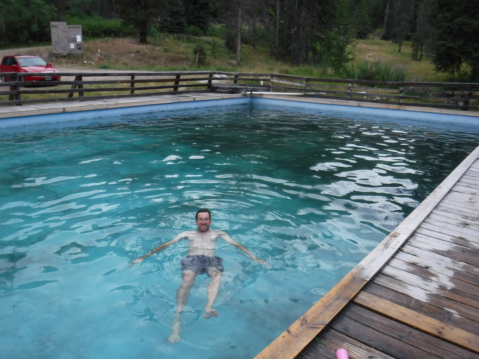
There is a day-use fee at parking areas near hot springs
Road Conditions
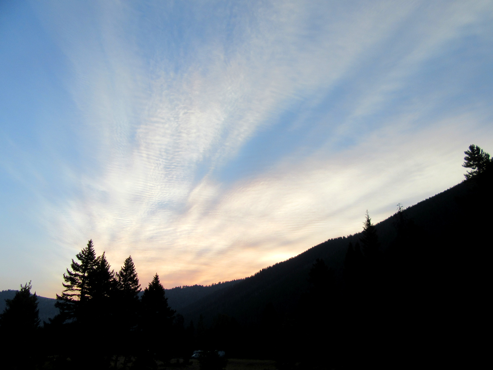
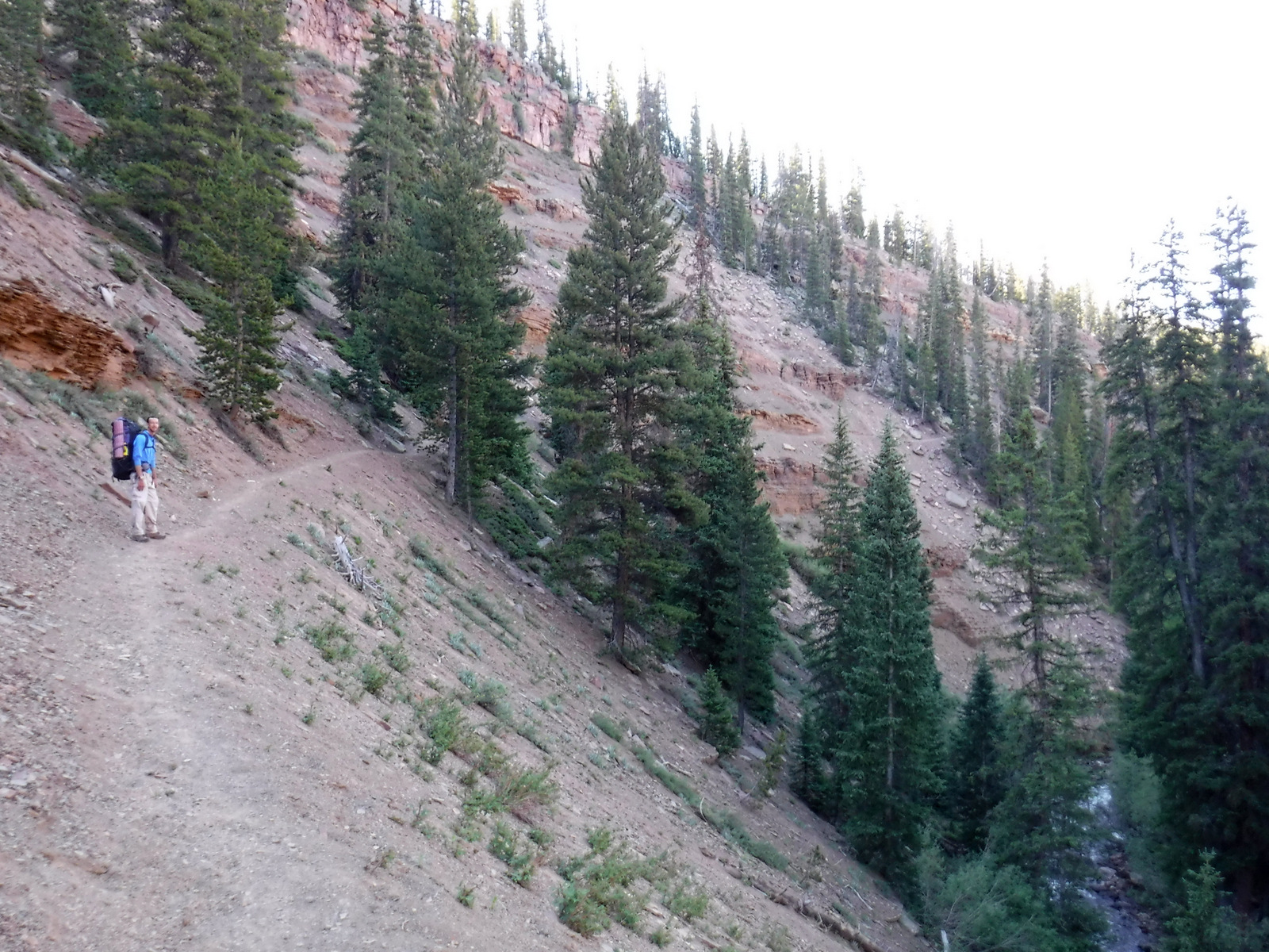
Ponderosa Pine Scenic Byway is winding and full of switchbacks, so take your time. Warm Creek Road is paved to the roadside trailhead for Eagle Nest. The Grandjean Road back to the campground is unpaved, but open year round.
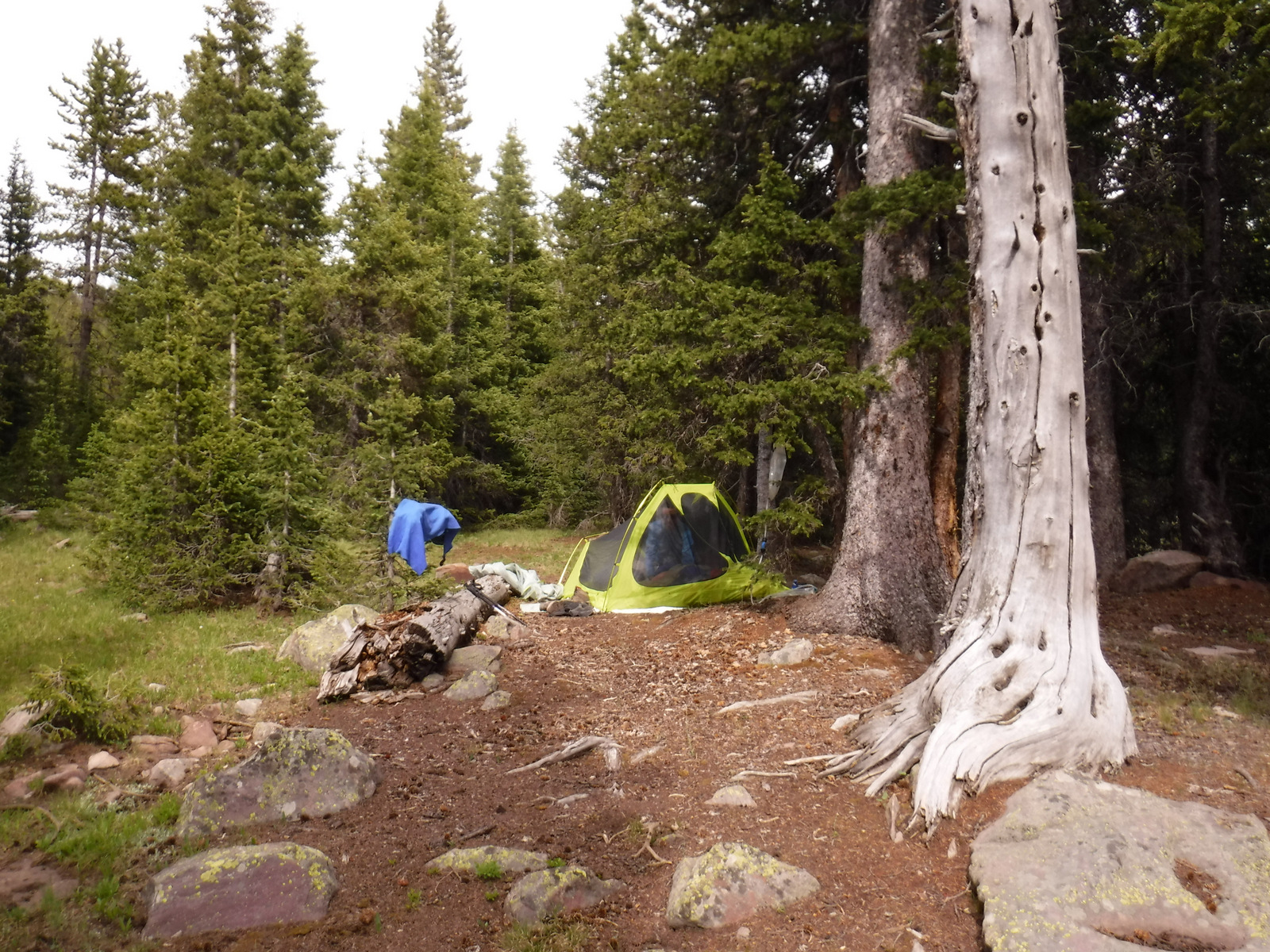
Camping
Most of the campgrounds along Highway 21 take reservations due to their popularity. We have read good things about the 31 sites in the Grandjean Campground (first-come, first-served) on the South Fork of the Payette River (hot springs are 1.5 miles away) near the western boundary of the Sawtooth Wilderness.
Wilderness Areas
Frank Church-River of No Return Wilderness (also in Payette, Salmon-Challis, Bitterroot, and Nez Perce National Forests)
Sawtooth Wilderness (also in Sawtooth and Challis National Forests)
Related Sites
Sawtooth National Recreation Area (Idaho)
Hagerman Fossil Beds National Monument (Idaho)
Nez Perce National Historical Park (Idaho-Oregon-Washington-Montana)
Nearest National Park
Yellowstone (Wyoming-Montana-Idaho)

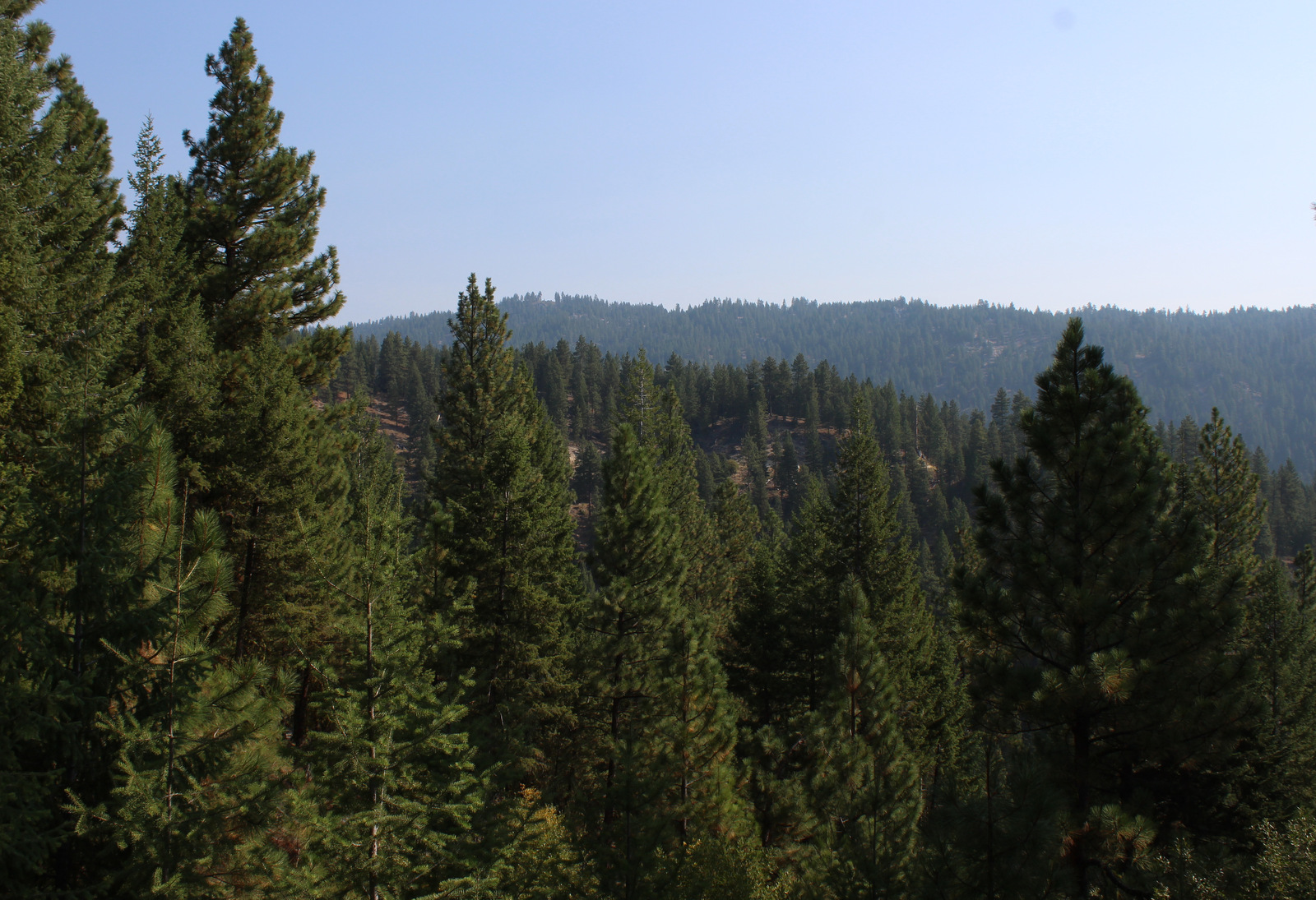


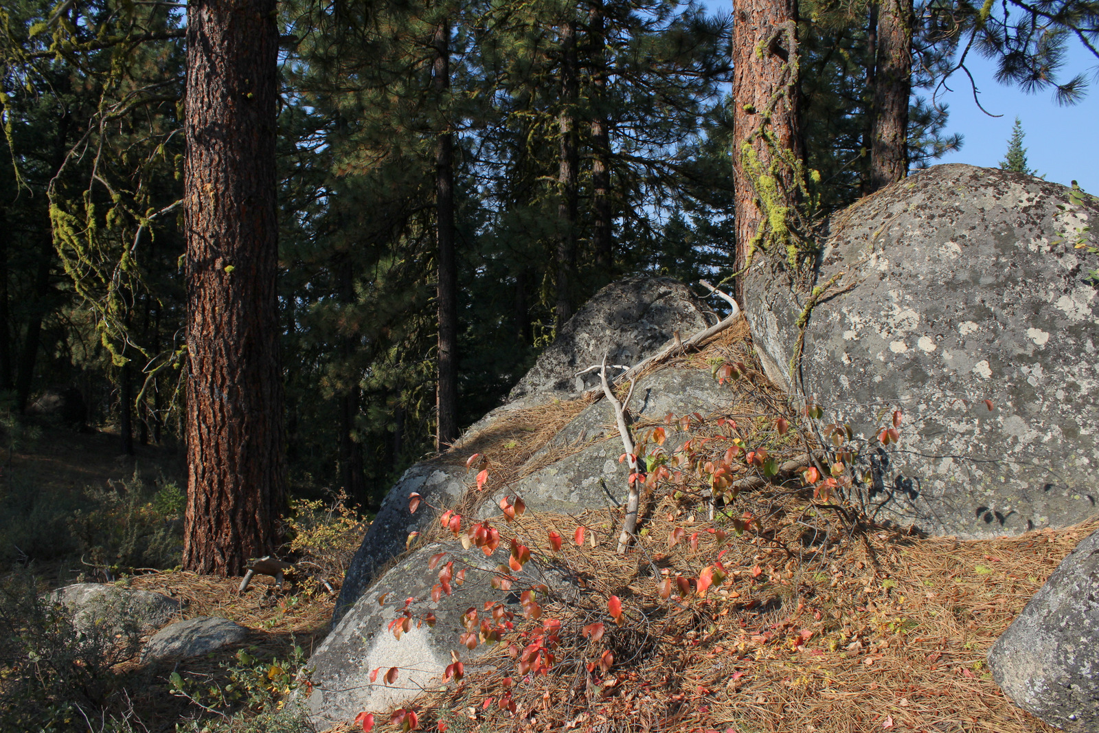
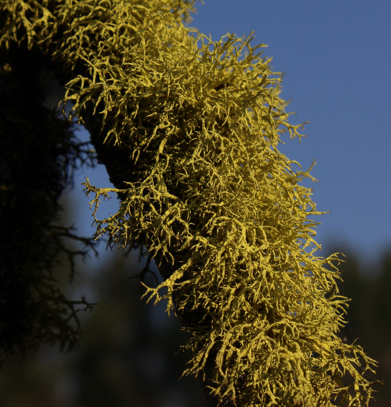


Conifer Tree Species
ponderosa pine, lodgepole pine, whitebark pine, Douglas-fir, Engelmann spruce, subalpine fir, western larch
Flowering Tree Species
quaking aspen, black cottonwood, narrowleaf cottonwood, thinleaf alder, water birch, Rocky Mountain maple, chokecherry, sagebrush
Explore More – Boise National Forest is full of water with 15,400 acres covered by lakes and reservoirs, plus how many miles of streams and rivers?