Tag Archives: trees

Chattahoochee National Forest

Chattahoochee National Forest

Georgia

Managed by U.S. Forest Service, Southern Region

1,516,006 acres (750,145 federal/ 765,861 other)

Website: https://www.fs.usda.gov/conf

Overview

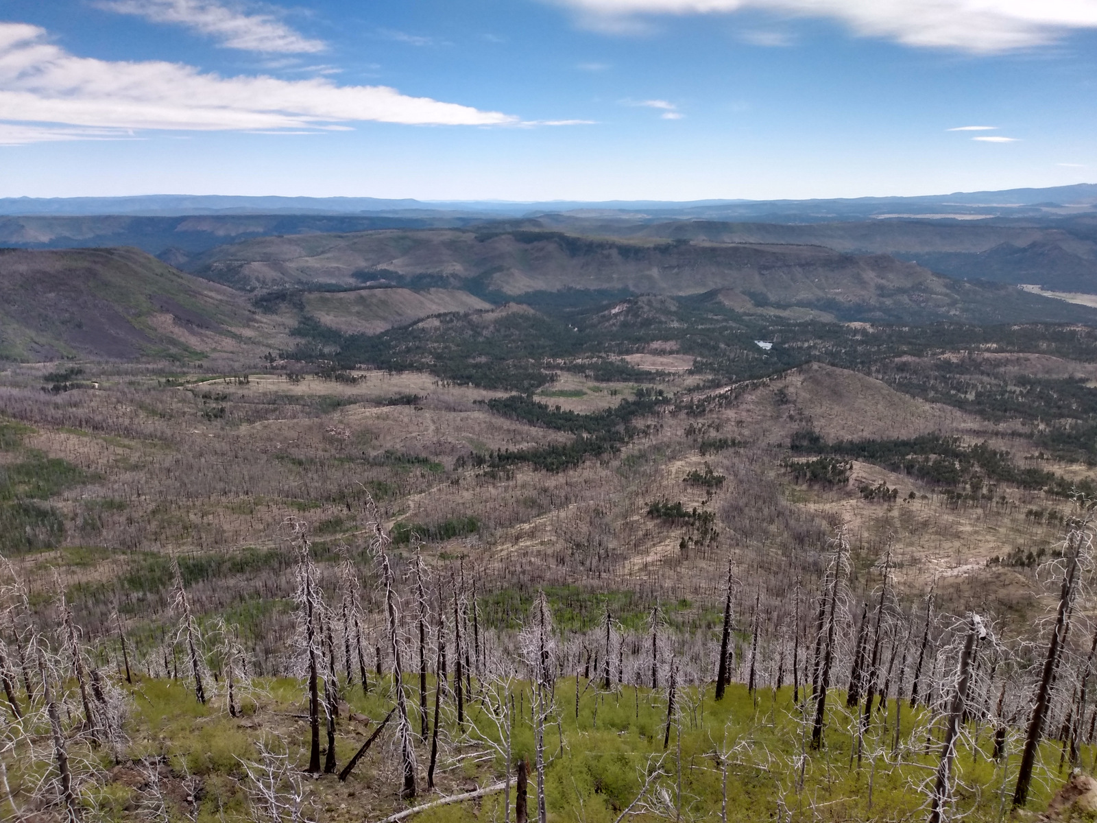
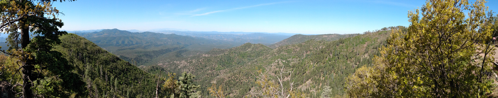
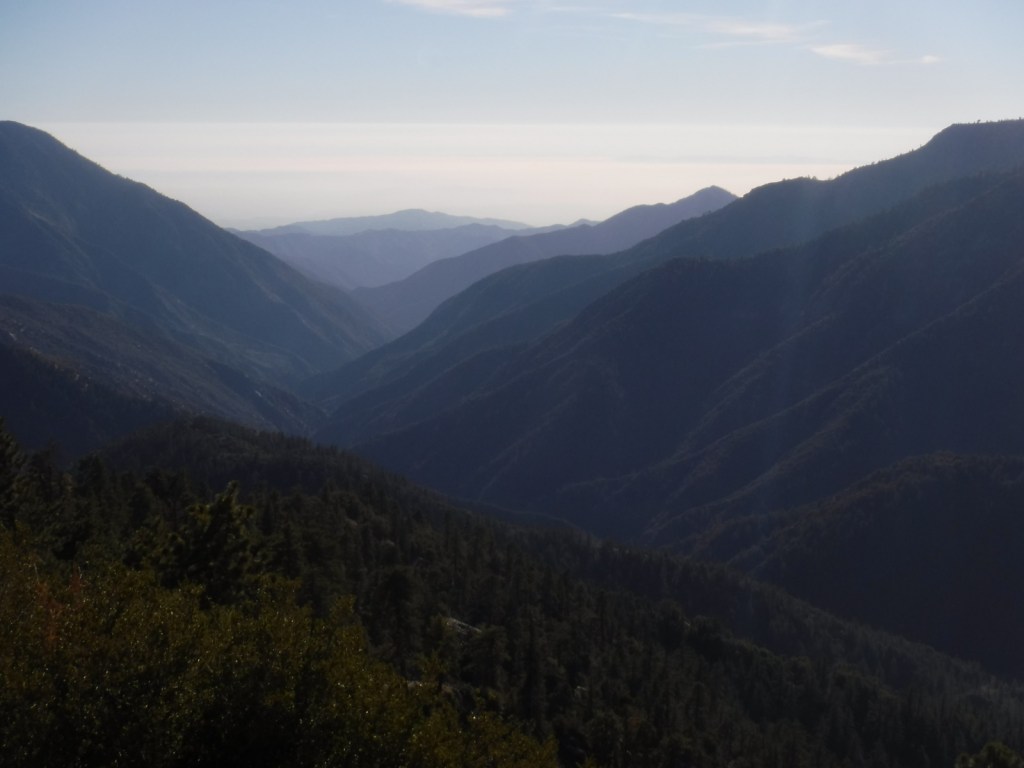
In mountainous northern Georgia, Chattahoochee National Forest stretches 200 miles east to west, bordering North Carolina, South Carolina, and Tennessee.  In addition to the highest point in Georgia (4,784-foot Brasstown Bald), the National Forest includes the headwaters of the Chattahoochee River and one side of the Chattooga National Wild and Scenic River.  West of the North Georgia Mountains, the Ridge and Valley Scenic Byway traverses the disjunct portion of the National Forest encompassing Johns Mountain, Little Sand Mountain, and Taylor Ridge.

Highlights

Ed Jenkins National Recreation Area, Ridge and Valley Scenic Byway, Keown Falls, Russell-Brasstown Scenic Byway, Brasstown Bald, High Shoal Falls Scenic Area, Lake Conasauga Recreation Area, Anna Ruby Falls, Sosebee Cove Scenic Area, Timpson Falls, Popcorn Overlook, Track Rock Gap Petroglyph Site, DeSoto Falls Scenic Area, Angel Falls, Raven Cliff Trail, Helton Creek Falls Trail, Duncan Ridge National Recreation Trail, Appalachian National Scenic Trail

Must-Do Activity

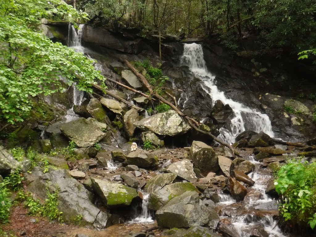
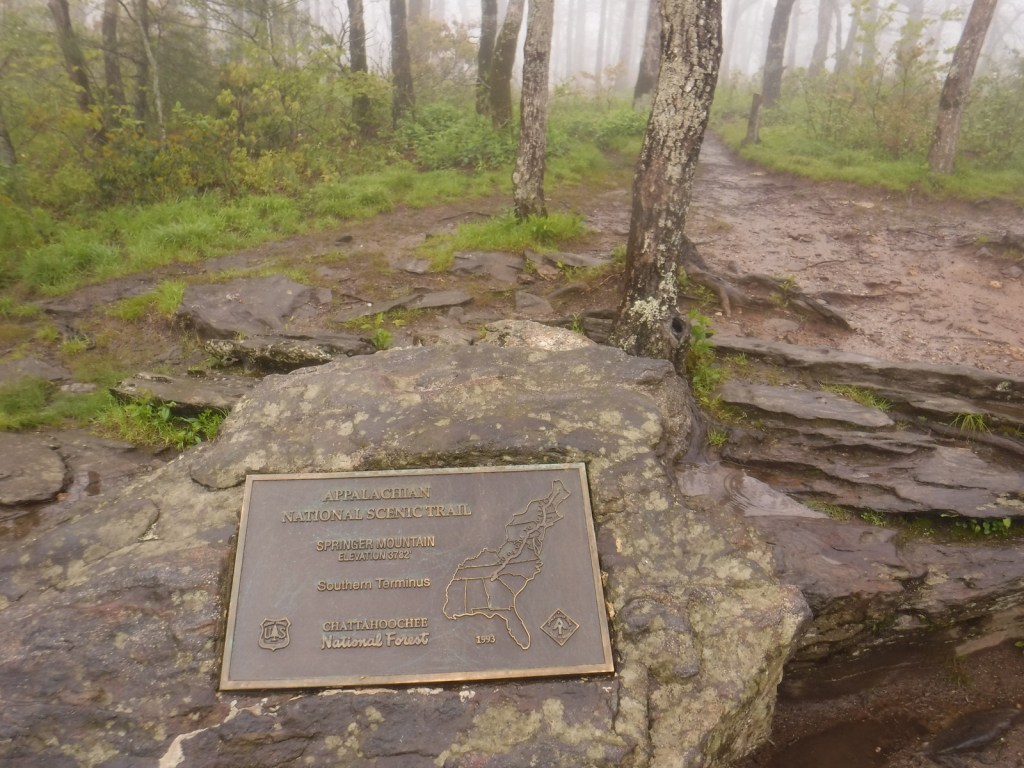
One of the National Forest’s most popular spots, 150-foot-tall Anna Ruby Falls is accessed by a short trail northeast of Helen, Georgia on State Route 356.  Large tulip-poplar and yellow buckeye trees grow in 175-acre Sosebee Cove Scenic Area, even though it is a second growth forest.  We will have a separate blog post on Ed Jenkins National Recreation Area, which surrounds Springer Mountain, the southern terminus of the 2,185-mile long Appalachian National Scenic Trail.

Best Trail

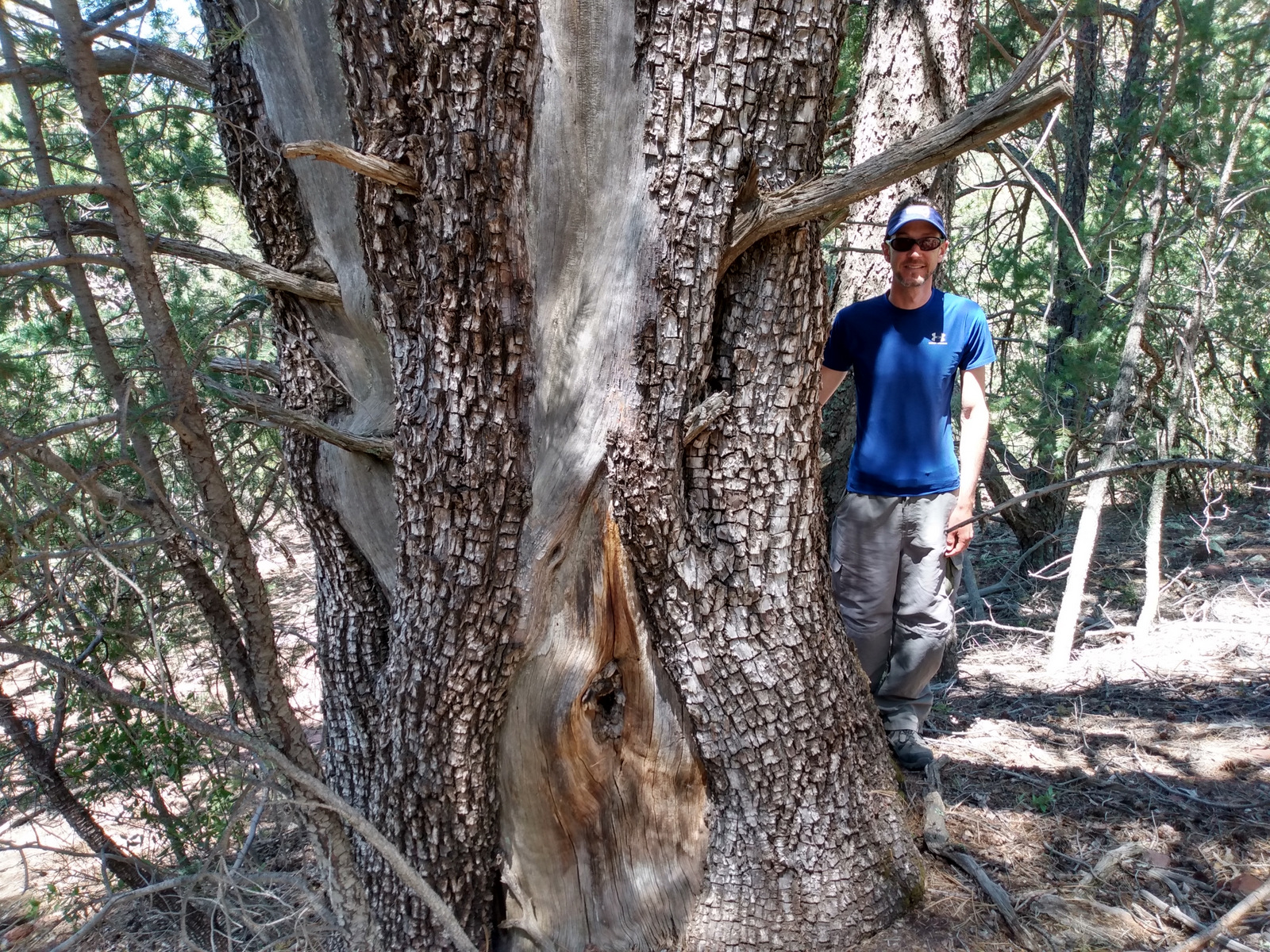
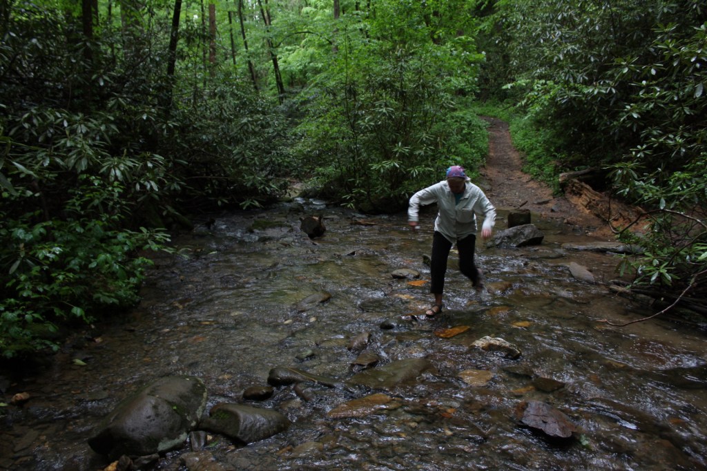
Chattahoochee National Forest started when the Forest Service purchased 31,000 acres from the Gennett family in 1911 for $7 per acre.  Visitors can still see their namesake Gennett Poplar (a tulip-poplar tree more than five feet in diameter) by hiking 1.8 miles out-and-back with two stream crossings on the Bear Creek Trail.  The rows of holes in the old tree’s trunk were made by yellow-bellied sapsuckers, a type of woodpecker.  The trail continues and connects with the Pinhoti Trail to form a 6.6 to 9-mile long loop.

Watchable Wildlife

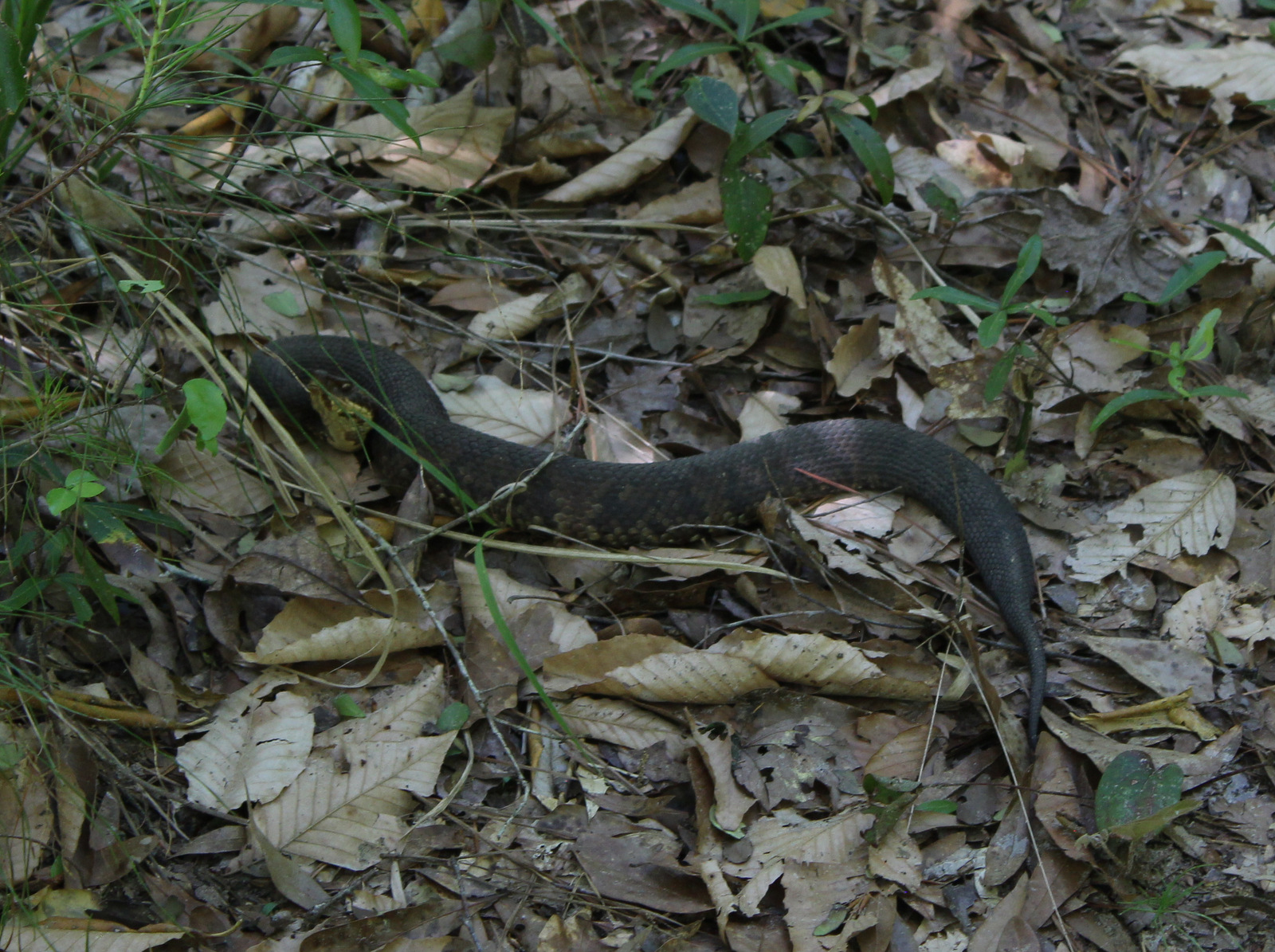
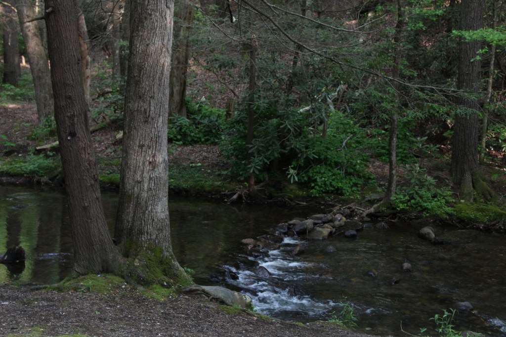
In addition to the plentiful white-tailed deer, other large mammals found in Chattahoochee National Forest include black bears, coyotes, bobcats, red foxes, squirrels, beavers, and river otters.  There are a wide variety of songbirds, waterfowl, and raptors, as well as wild turkeys.  One insect species of note is the blue ghost firefly, which produces a distinctive blue phosphorescence.  Panther Creek is among the approximately 2,000 miles of rivers and streams popular for fishing.

Instagram-worthy Photo

There is a small waterfall at Barnes Creek Picnic Area, which was built by the Civilian Conservation Corps (CCC) in the 1930s.

Peak Season

Summer

Fees

None

Road Conditions

Most of the major routes in Chattahoochee National Forest are paved.  Forest Service Road 42 that accesses the Springer Mountain Trailhead is unpaved and full of potholes, but it is doable in a passenger vehicle (as are the dirt roads to Hickey Gap Campground and Bear Creek Trail). 
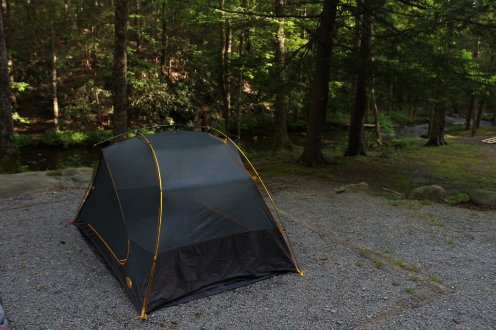
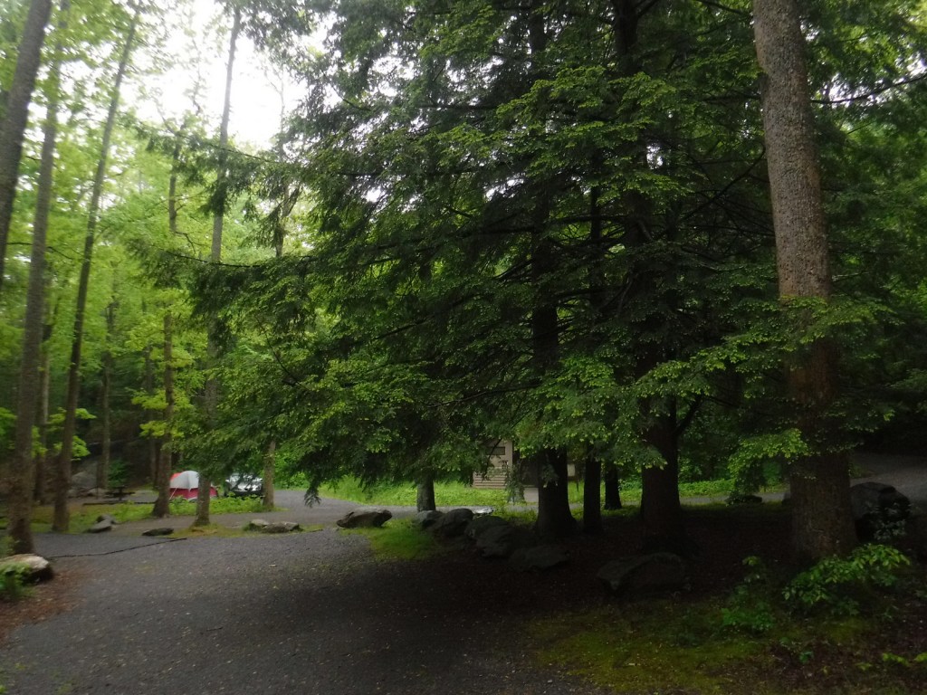
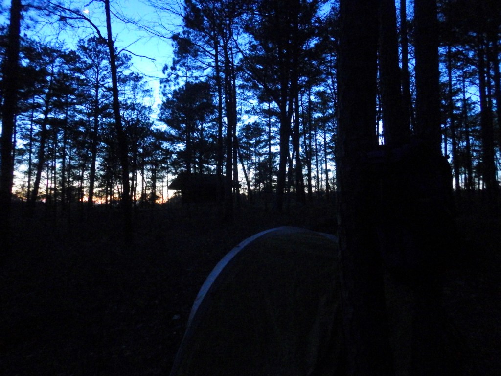
Camping

The riverside Hickey Gap Campground is so nice that it made it into our list of the Top 10 Campgrounds in National Forests; the best part is: it is free.  We once overnighted at the Locust Stake ORV Area Trailhead north of Atlanta, which was fine until someone decided to ride their motocross bike at 2 a.m.

Wilderness Areas

Big Frog Wilderness (also in Cherokee NF)

Blood Mountain Wilderness

Brasstown Wilderness

Cohutta Wilderness (also in Cherokee National Forest)

Ellicott Rock Wilderness (also in Nantahala and Sumter National Forests)

Mark Trail Wilderness

Raven Cliffs Wilderness

Rich Mountain Wilderness

Southern Nantahala Wilderness (also in Nantahala National Forest)

Tray Mountain Wilderness

Related Sites

Chattahoochee River National Recreation Area (Georgia)

Martin Luther King, Jr. National Historical Park (Georgia)

Ed Jenkins National Recreation Area (Georgia)

Nearest National Park

Great Smoky Mountains

Conifer Tree Species

eastern hemlock, loblolly pine, shortleaf pine, Table Mountain pine, pitch pine

Flowering Tree Species

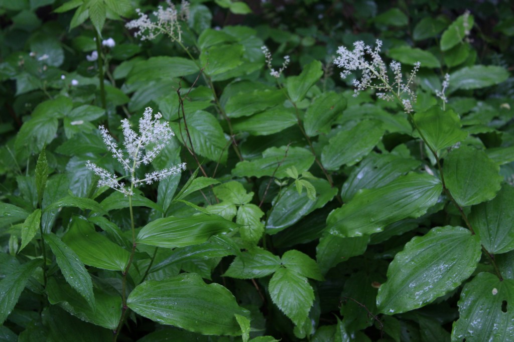
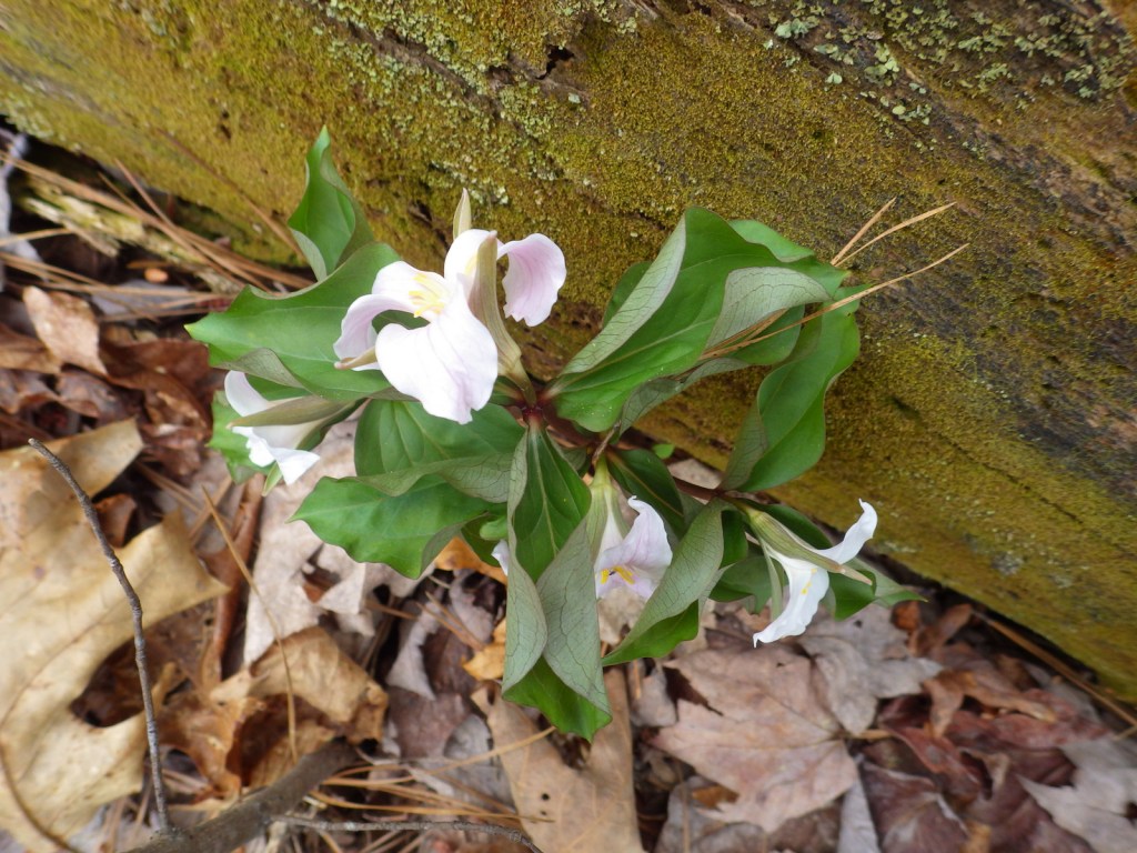
flowering dogwood, mountain laurel, pawpaw, American beech, white basswood, red maple, mountain maple, moosewood maple, tulip-poplar, sweet buckeye, yellowwood, yellow birch, cucumber magnolia, black cherry, sourwood, pale hickory, mockernut hickory, rock chestnut oak, scarlet oak, black oak, Catawba rhododendron, yellow birch, sweet bay magnolia, mountain-ash, ninebark

Explore More – How many acres are within the Cohutta Wilderness, the largest designated Wilderness east of the Mississippi River?

Learn more about Chattahoochee and the 154 other National Forests in our new guidebook Out in the Woods

We are a participant in the Amazon Services LLC Associates Program, an affiliate advertising program designed to provide a means for us to earn fees by linking to Amazon.com and affiliated sites.

Thank you for attending our presentation!

Thank you to everyone who attended our presentation last night at the library! If you couldn’t make it, please check out the short video we made to explain our quest to hike in all 155 National Forests (and learn more in our newspaper articles).

Please find below a gallery of the Powerpoint slides that ran before the presentation. And if you haven’t already, please check out our new guidebook to the National Forests.

We look forward to sharing more about National Forests in the future on this website.

Apache National Forest

Apache National Forest

Arizona, New Mexico

Managed by U.S. Forest Service, Southwestern Region

1,876,891 acres (1,813,601 federal/ 63,290 other)

Website: https://www.fs.usda.gov/main/asnf/home

Overview

Growing up in Arizona, we only ever heard this referred to as Apache-Sitgreaves National Forest since it was merged in 1974.  The more eastern Apache National Forest section represents about 69% of the combined forests total acreage and partly spills into New Mexico.  On its west side it borders the Fort Apache and the San Carlos Indian Reservations, only containing one side of Mt. Baldy (which is famous for its ski resort).  The National Forest contains the eastern portions of the White Mountains and Mogollon Rim, a forested escarpment that cuts 200 miles across much of the state of Arizona.

Highlights

Coronado Trail Scenic Byway, Mt. Baldy, Butler Canyon, Escudilla National Recreation Trail, Hannagan Meadow, Chitty Canyon, Big Tree Trail, Eagle National Recreation Trail

Must-Do Activity

The Coronado Trail Scenic Byway (Highway 191) is a narrow, winding paved road that runs 120 miles north-south through Apache National Forest and is the best way to explore.  Near the northern end of the highway, a steep unpaved road leads east up to the trailhead for Escudilla National Recreation Trail.  A fire burned the 10,912-foot mountain that the trail summits and on our hike in May 2020 we counted 75 downed trees that we had to step over, both on the three miles in and the three miles out.  To the east, the remote Blue Range Primitive Area was created in 1933, but has yet to receive Wilderness designation.  About 18 miles south of Alpine make a stop at the historic Hannagan Meadow lodge, the only place to get gas along the route (or air if like us you have to put on your spare tire).  The highway continues south dropping down from the Mogollon Rim into a more desert-like environment.

Best Trail

A short, but worthwhile hike descends west from Sardine Saddle near the southern end of the Coronado Trail Scenic Byway.  At the end of the 0.4-mile trail is the largest Arizona cypress tree growing in the United States (97 feet tall with a 181-inch trunk circumference).  There are also some big alligator juniper trees growing near the bottom of the canyon, and if you see their bark you will realize why they got their name.

Watchable Wildlife

We were excited to find horned lizards (a.k.a. frogs or toads) along the Escudilla National Recreation Trail.  The cliffs of the Mogollon Rim provide good thermal updrafts so are a good place to looks for turkey vultures and a variety of raptors.  The ranges of mule deer and Coues whitetail deer overlap in this part of the country.  We saw turkeys on the road back to Rose Spring Trail (Forest Road 54).

Instagram-worthy Photo

There are great views from atop the Mogollon Rim at Blue Point Overlook on the Coronado Trail Scenic Byway.

Peak Season

Spring and fall

Fees

None

Road Conditions

Highway 191 is paved, but is a slow drive due to its many curves.  Many of the side roads are very rough and a high-clearance vehicle is recommended.  We got a flat tire on the rocky Forest Road 54.

Camping

There are several developed campgrounds, including one at Luna Lake and several along the East Fork of the Black River.  Dispersed camping options abound, including on the road to Escudilla National Recreation Trail and we found a nice campsite near the entrance to Forest Road 54.

Wilderness Areas

Bear Wallow Wilderness

Escudilla Wilderness

Mount Baldy Wilderness

[Blue Range Primitive Area]

Related Sites

Coronado National Memorial (Arizona)

Chiricahua National Monument (Arizona)

Fort Bowie National Historic Site (Arizona)

Nearest National Park

Petrified Forest (Arizona)

Conifer Tree Species

Arizona cypress, alligator juniper, pinyon pine, ponderosa pine, Chihuahua pine, Douglas-fir, white fir, Engelmann spruce

Flowering Tree Species

quaking aspen, Emory oak, Arizona white oak, turbinella oak, New Mexico locust, Rocky Mountain maple, pointleaf manzanita

Explore More – The Apache arrived in this area from the north in the 1300s and their name comes from a Zuni word translated as what?

We are a participant in the Amazon Services LLC Associates Program, an affiliate advertising program designed to provide a means for us to earn fees by linking to Amazon.com and affiliated sites.

Angelina National Forest

Angelina National Forest

Texas

Managed by U.S. Forest Service, Southern Region

402,231 acres (153,180 federal/ 249,051 other)

Website: https://www.fs.usda.gov/main/texas/home

Overview

Angelina National Forest lies in the piney woods region of eastern Texas dominated by longleaf, loblolly, and shortleaf pine trees.  In 1935, land acquisition began to create Angelina and the three other nearby National Forests it is co-managed with (Davy Crockett, Sabine, and Sam Houston).  Sam Rayburn Reservoir bisects Angelina National Forest into a north and south section in the flooded Neches River Basin.

Highlights

Sam Rayburn Reservoir, Boykin Springs Recreation Area, Caney Creek Recreation Area, Black Branch Barrens, Bouton Lake, Aldridge Sawmill Historic Site, Sawmill Trail

Must-Do Activity

Other than Sam Rayburn Reservoir, the most developed portion of the National Forest is Boykin Springs Recreation Area.  The lake, campground, and Civilian Conservation Corps (CCC) structures are at the end of 2.5-mile long Forest Road 313 off Highway 63.  About twenty minutes away Bouton Lake (12 acres) is located seven miles down Forest Road 303 and offers primitive camping, fishing, and an overgrown hiking trail amidst bottomland hardwoods and baldcypress trees (please respect the private property on the west side).

Best Trail

The 5.5-mile out-and-back Sawmill Trail connects Boykin Springs Recreation Area to the Aldridge Sawmill Historic Site.  The trail goes through a burn and can be hard to follow in places due to multiple user trails, so be sure to follow the yellow-painted metal markers on trees.  The sawmill has been heavily sprayed with graffiti, but if you aim your camera up to the second story it does not look as bad.  The trail that used to connect to the sawmill from Bouton Lake has been closed since it crossed private property.

Watchable Wildlife

At Boykin Springs Recreation Area we spotted a pileated woodpecker, cardinal, robins, and crows.  The endangered red-cockaded woodpecker can be found in the longleaf pine forests.  On the Sawmill Trail we saw a copperhead snake near the creek and turtles in the pond at the end.  Hunters seek white-tailed deer, wild turkey, American woodcock, and bobwhite quail in the forest, which also provides wintering habitat for bald eagles.

Instagram-worthy Photo

A cool rock spillway originally built by the Civilian Conservation Corps (CCC) in 1938 drains from the nine-acre lake at Boykin Springs Recreation Area.  It was reconstructed to its original appearance in the years after Hurricane Rita hit in 2005.

Peak Season

Spring and fall

Fees

None

Road Conditions

Forest Road 303 to Bouton Lake is a very good dirt road, but the west side of the lake is privately owned and a one-lane road leads to a gate, so unless you want to drive backwards for a ways just park as soon as you get to the camping area.

Camping

There are developed campgrounds at Boykin Springs and Caney Creek Recreation Areas, plus an undeveloped (and free) area to camp at Bouton Lake.

Wilderness Areas

Turkey Hill Wilderness

Upland Island Wilderness

Related Sites

Big Thicket National Preserve (Texas)

Davy Crockett National Forest (Texas)

Sabine National Forest (Texas)

Nearest National Park

Hot Springs (Arkansas)

Conifer Tree Species

baldcypress, longleaf pine, shortleaf pine, loblolly pine

Flowering Tree Species

laurel oak, blackjack oak, post oak, overcup oak, swamp chestnut oak, cherrybark oak, water oak, black hickory, water hickory, red maple, American beech, American holly, yaupon holly, southern magnolia, sweetbay magnolia, swamp red bay, water tupelo, water elm, winged elm, Carolina ash, green ash, wax myrtle

Explore More – Other than looking cool, what function do the knees serve that protrude from the baldcypress root system?

We are a participant in the Amazon Services LLC Associates Program, an affiliate advertising program designed to provide a means for us to earn fees by linking to Amazon.com and affiliated sites.

San Gabriel Mountains National Monument

San Gabriel Mountains National Monument

California

Managed by U.S. Forest Service, Angeles National Forest

452,096 acres

Website: https://www.fs.usda.gov/r05/angeles/recreation/san-gabriel-mountains-national-monument

Overview

San Gabriel Mountains National Monument was proclaimed on October 10, 2014, by President Barack Obama under the power of the 1906 Antiquities Act and expanded by 105,919 acres ten years later.  Located just north of the Los Angeles metropolitan area, about 15-million people live within 90 minutes of this mountain range, which provides 30% of their drinking water.  Despite this region’s reputation for sun and surf, the high elevations (topping out at 10,064 feet on Mt. San Antonio) regularly get snow in the winter.  The vegetation ranges from chaparral to oak and mixed evergreen forest and is prone to wildfire (see our post on Angeles National Forest for information on recent fires).

Highlights

Angeles Crest Highway, Inspiration Point, Lightning Ridge Nature Trail, Mt. San Antonio, Mt. Baden-Powell, Throop Peak, Silver Moccasin Trail, Gabrielmo National Recreation Trail, High Desert National Recreation Trail, Pacific Crest National Scenic Trail

Must-Do Activity

It was a sunny November afternoon at 7,000 feet in elevation on the Angeles Crest Highway (Highway 2), which traverses the steep-sided San Gabriel Mountains that rise above southern California’s infamous smog.  The rich odor of incense-cedar trees filled the warm air as we ascended the rocky trail from the historic Big Pines Visitor Center. This soulful smell may be more familiar to you than you think since its wood is commonly used to make pencils. The partially shaded path was lined with interpretive signs that introduced the trees and shrubs growing on this dry, south-facing hillside. Across the narrow valley, a ski resort was cut into the dense stands of conifers on the shady north slope.

Best Trail

The 2,600-mile Pacific Crest National Scenic Trail cuts across much of the National Monument with easy access from Highway 2 at the Lightning Ridge Nature Trail and Grassy Hollow Visitor Center.  Other long trails include the Gabrielmo National Recreation Trail and High Desert National Recreation Trail.

Instagram-worthy Photo

Just west on Highway 2 from the Big Pines Visitor Center is Inspiration Point, which looks south at the often smoggy Los Angeles metropolitan area.

Peak Season

Spring and fall

Fees

An Adventure Pass is required to park at many trailheads.  The Forest Service also accepts all America the Beautiful Passes, which can be also used at National Park Service sites.

Road Conditions

The paved Angeles Crest Highway cuts through the National Monument and it used to go through to Glendale, but closed due to damage from the 2020 Bobcat Fire.

Camping

There are many campgrounds in Angeles National Forest, but we did not see any great places to do dispersed car camping when we drove through different portions of it (although we did not drive any dirt roads which is where they typically are found).

Wilderness Areas

Pleasant View Ridge Wilderness

San Gabriel Wilderness

Sheep Mountain Wilderness (also in San Bernardino National Forest)

Related Sites

Saint Francis Dam Disaster National Memorial and Monument (California)

Santa Monica Mountains National Recreation Area (California)

Santa Rosa and San Jacinto Mountains National Monument (California)

Nearest National Park

Channel Islands (California)

Explore More – The movement to preserve the San Gabriel Mountains began in 2003 with what Congresswoman initiating an environmental feasibility report?