Overview
Great Smoky Mountains National Park straddles the border of Tennessee and North Carolina, with both sides offering incredible views. The park is similar to Shenandoah National Park in that it was mostly purchased from private landowners before its establishment by the federal government in 1934. With around 11-million visitors annually, it is easily the most visited of the 62 National Parks in the National Park Service system, perhaps because it has no entrance fee.
Highlights
Clingman’s Dome, Cades Cove, Roaring Fork Motor Nature Trail, Foothills Parkway, Oconaluftee, Appalachian National Scenic Trail
Must-Do Activity
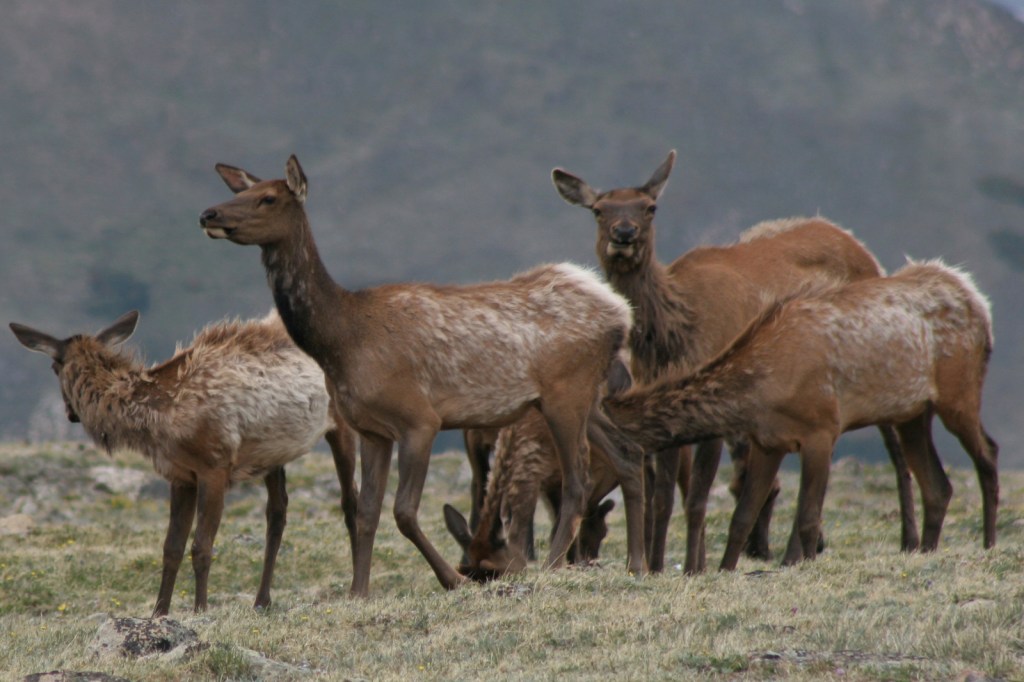
Many interesting sections of Great Smoky Mountains National Park preserve the human history of the region, like the popular Cades Cove with its iconic old grist mill. To learn more about the Cherokee indigenous to this region, visit Oconaluftee Visitor Center on the North Carolina side. While there you might also spot a herd of reintroduced elk.
Best Trail
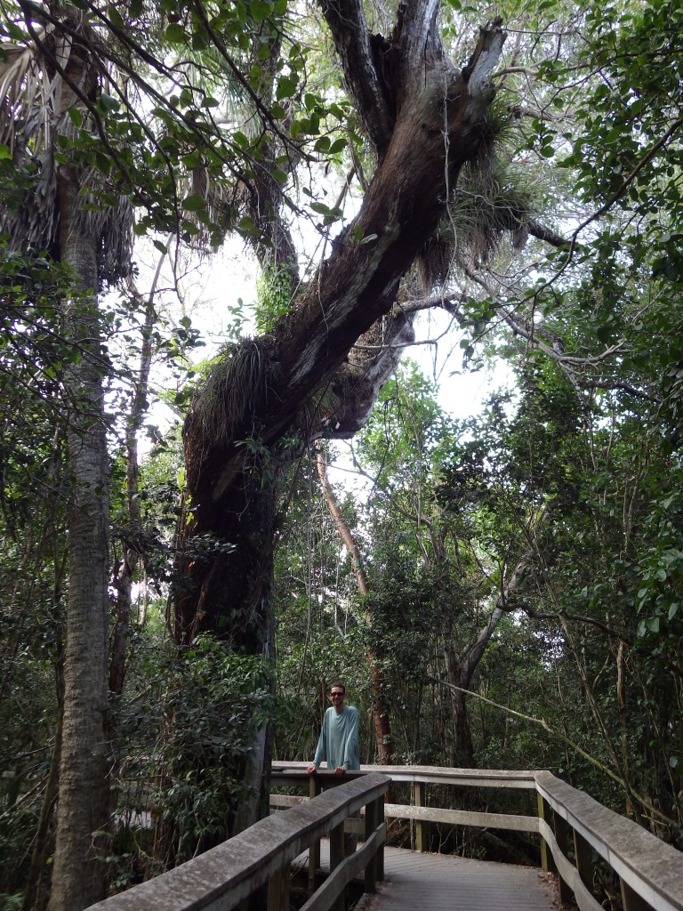
Even on the bumper to bumper Roaring Fork Motor Nature Trail, all you have to do is park and take a hike to find some solitude. Grotto Falls Trail passes through old-growth hemlock forest, an area very popular with black bears.
Instagram-worthy Photo
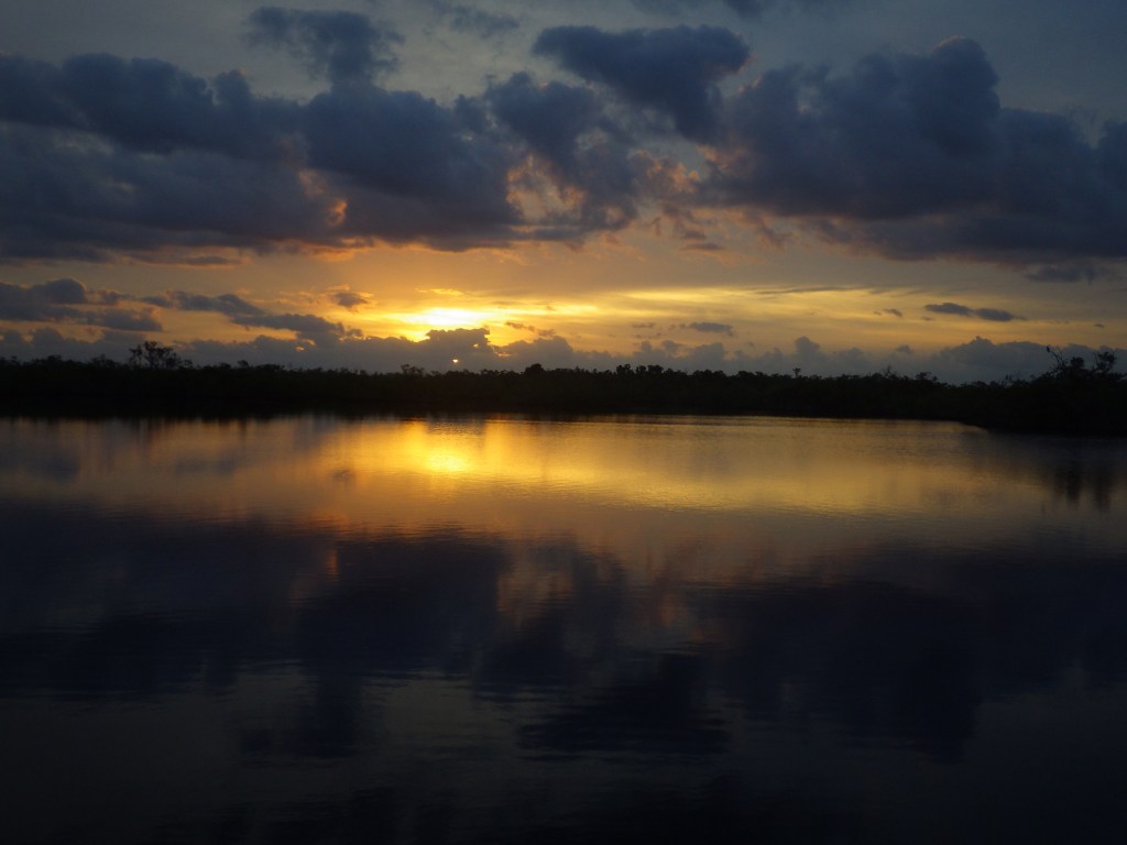
As you can imagine, this park is incredibly popular in October and November because of the beautiful fall foliage. Early in the season, head to 6,643-foot Clingman’s Dome, then drop in elevation as the autumn progresses.

Peak Season
Summer and fall
Hours
https://www.nps.gov/grsm/planyourvisit/hours.htm
Fees
None
Road Conditions
Newfound Gap Road is the major thoroughfare connecting the two sides of the park and it is plowed throughout the winter. The 11-mile loop road through Cades Cove is open year round, but the 7-mile spur road up to Clingman’s Dome and the 6-mile one-way Roaring Fork Motor Nature Trail are seasonal.
Camping
There are 10 campgrounds within Great Smoky Mountains National Park, but if you need RV hookups you will have to find a private campground outside the park.
Related Sites
Big South Fork National River and Recreation Area (Tennessee-Kentucky)
Blue Ridge Parkway (North Carolina-Virginia)
Shenandoah National Park (Virginia)

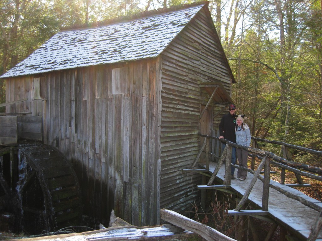
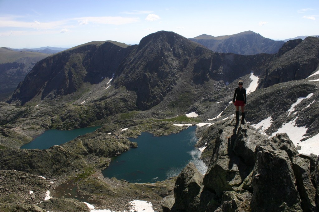
Scott and Tiff at Cades Cove 


Black bear 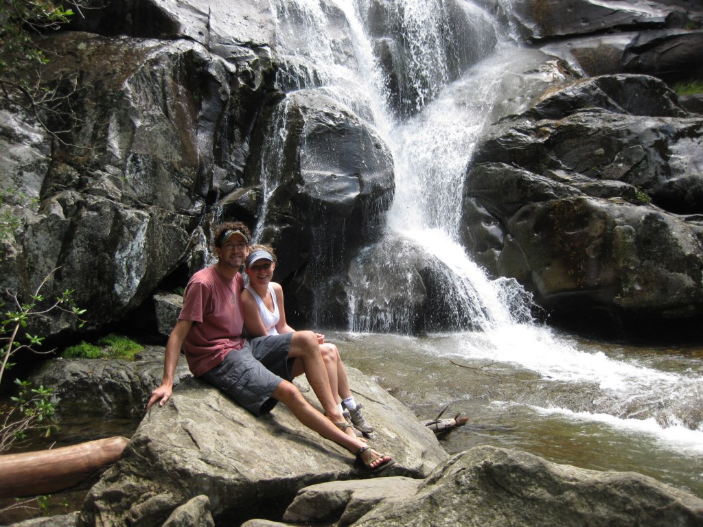
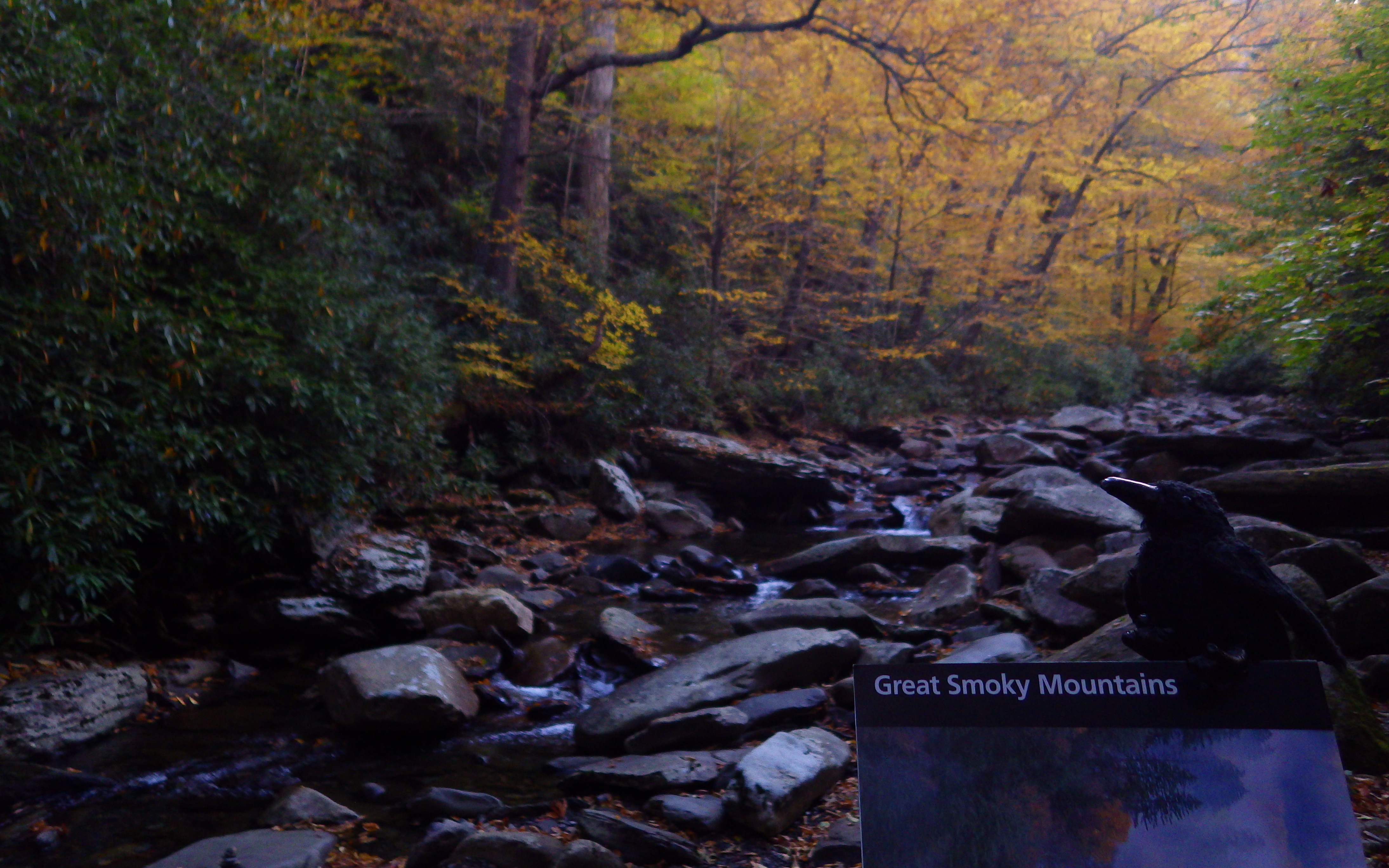
Ramsey Cascades 
Wood lily 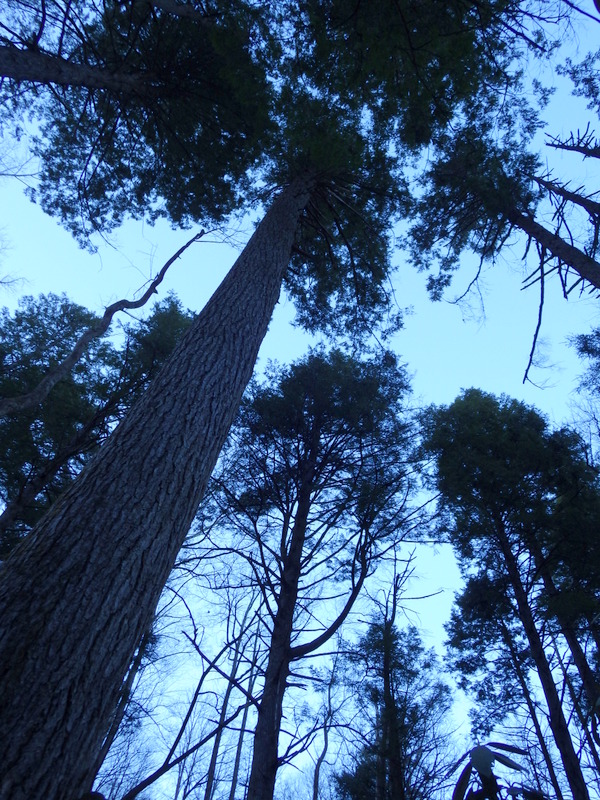
Old-growth hemlock trees 


Explore More – While most National Parks do not allow dogs on trails, what are the two trails in Great Smoky Mountains National Park that do?

We are a participant in the Amazon Services LLC Associates Program, an affiliate advertising program designed to provide a means for us to earn fees by linking to Amazon.com and affiliated sites.