Overview
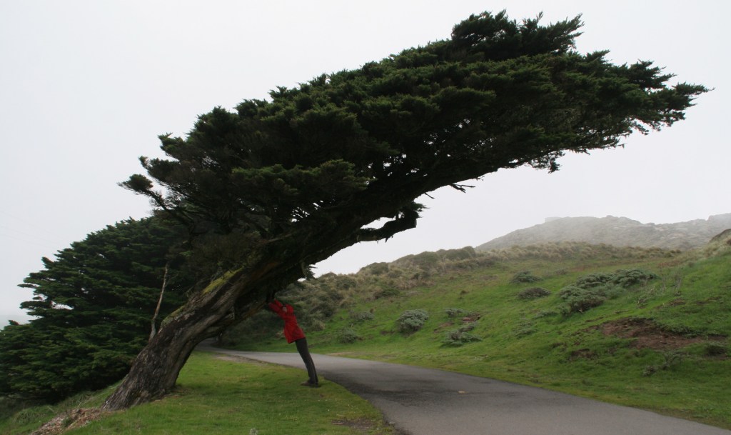
North of San Francisco, California, Point Reyes National Seashore is the only park so designated on the Pacific Coast of the U.S. Be prepared to get wet as this piece of land located on the San Andreas Fault is frequently enveloped by a fog belt year round. It might not be the best spot to sunbathe on the beach, but this unique seashore is a great place to watch wildlife.
Highlights
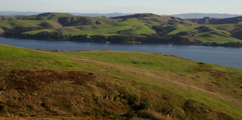
Point Reyes Lighthouse, beaches, Arch Rock, Historic Pierce Point Ranch, Tomales Bay
Must-Do Activity
The main attraction is the Point Reyes Lighthouse, where you can try to spot sea lions and gray whales on their winter migration. It is 300 steps down to the historic lighthouse, then you have to turn around and climb back up. Nearby Drakes Beach is off limits in the winter months when elephant seals gather there and you can watch (and listen to) them from an overlook. The park is popular with road and mountain bikers, and well-protected Tomales Bay attracts kayakers.
Best Trail
An extensive trail system with backcountry campsites (including two near the beach) is best accessed from the Bear Valley Visitor Center. Plus, you can always walk the 11-mile long Point Reyes Beach.
Instagram-worthy Photo
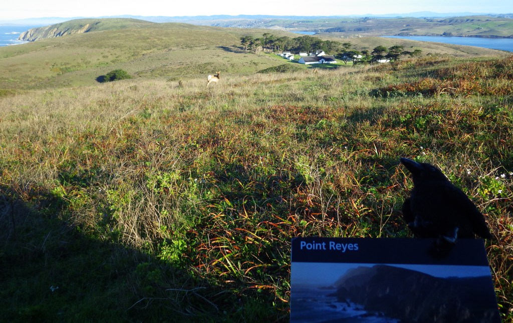
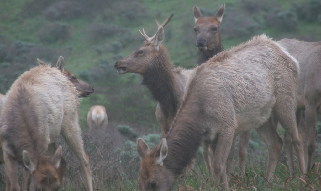
The park has a reintroduced herd of Tule elk near the Historic Pierce Point Ranch on Tomales Point. If you visit in January, you might find a bull was waiting for his other antler to drop.
Peak Season
Summer, though the weather is pretty much the same year round.
Hours
https://www.nps.gov/pore/planyourvisit/hours.htm
Fees
None
Road Conditions
All roads paved, except a few short ones that access trailheads.
Camping
There is no campground in Point Reyes National Seashore, but there are backcountry campsites that area available with a permit (reservations available).
Related Sites
Cabrillo National Monument (California)
Golden Gate National Recreation Area (California)
Olympic National Park (Washington)

Tule elk 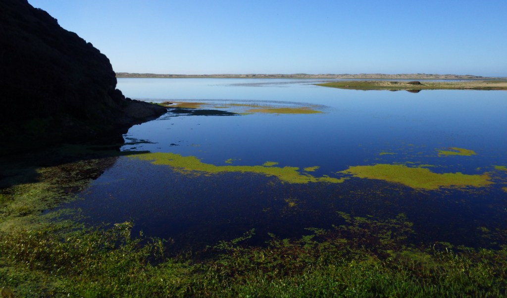
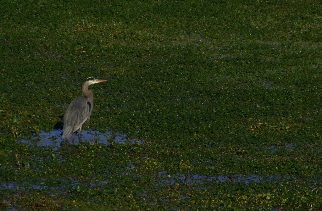
Great blue heron 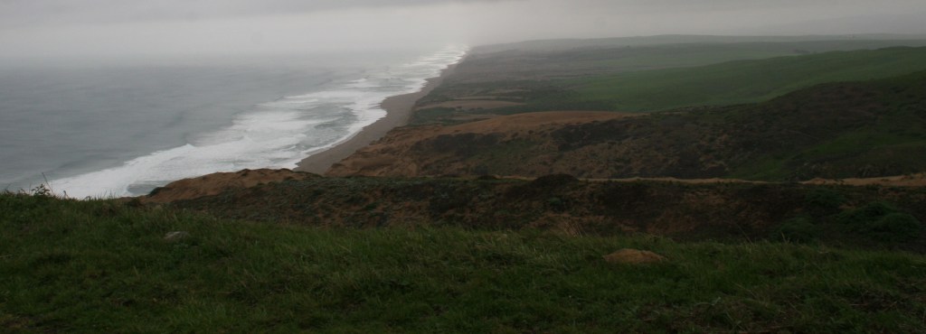
Point Reyes Beach 
Black-tailed deer 

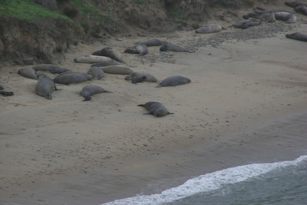
Elephant seals on Drakes Beach 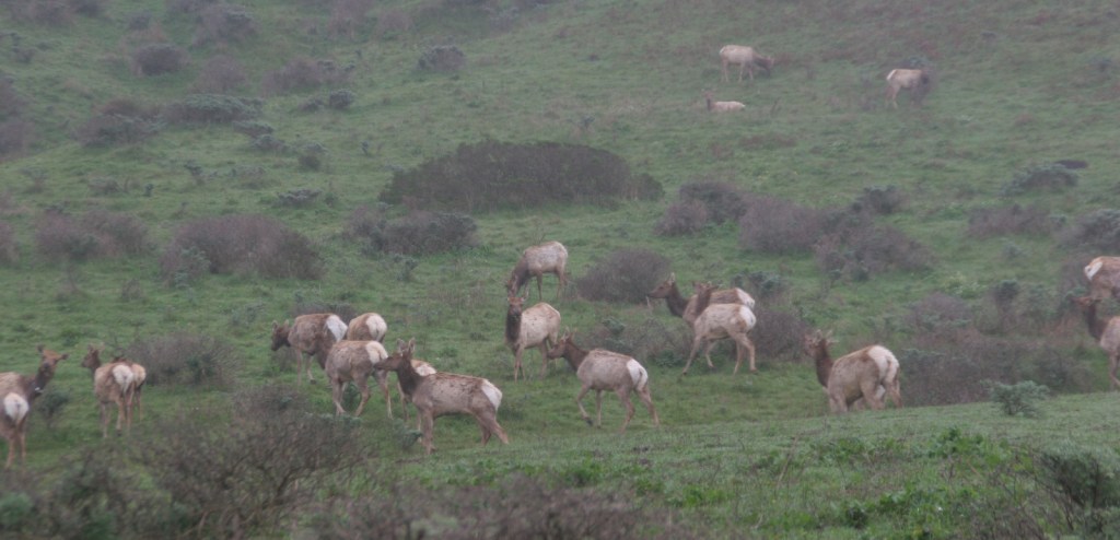
Tule elk herd near Tomales Point
Explore More – How far did the entire Point Reyes Peninsula permanently shift during the 1906 San Francisco Earthquake?