Tag Archives: trail

Gettysburg National Military Park

Overview

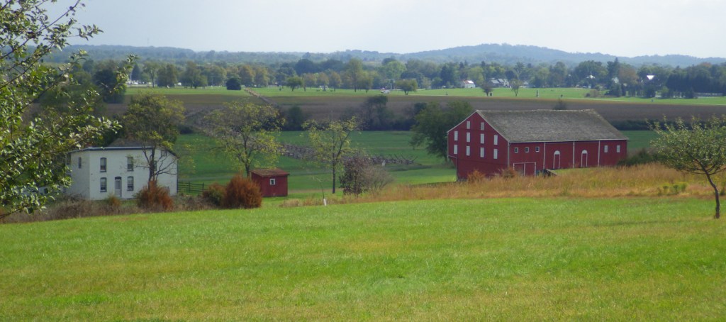
The turning point of the Civil War undoubtedly occurred on July 3, 1863 in Gettysburg, Pennsylvania, especially when considered in combination with the capture of Vicksburg, Mississippi.  After the Confederate invasion of the North was repulsed at Antietam, the next year General Robert E. Lee led 75,000 troops into Pennsylvania to face 88,289 Union soldiers.  After three days of fighting, there were 51,000 men killed, wounded, or missing; the most of any battle on American soil.  It can take more than one full day to visit Gettysburg National Military Park, especially if you add on a bus tour to neighboring Eisenhower National Historic Site.

Highlights

Museum, film, Cyclorama painting, driving tour, David Wills House, cannons

Must-Do Activity

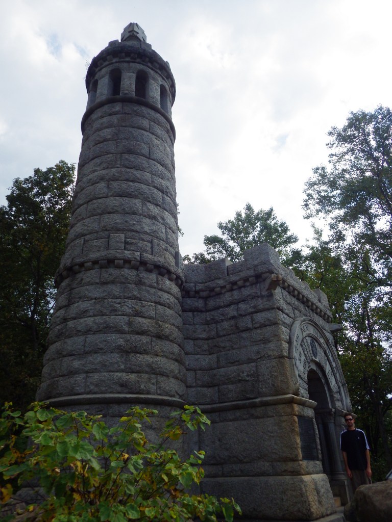
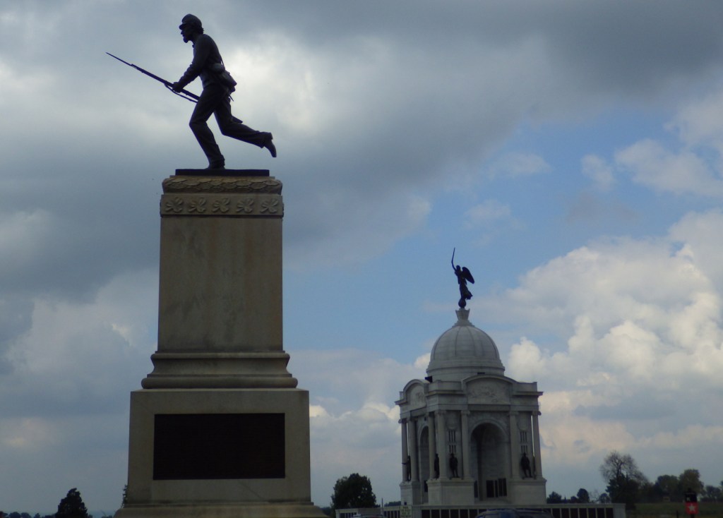
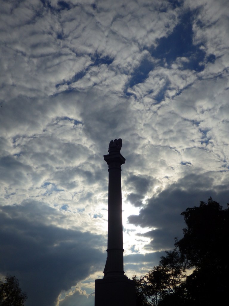
It is free to take the 24-mile long driving tour, but an admission fee is charged for the museum (opened in 2008) that covers the entire Civil War, including Lincoln’s famous Gettysburg Address.  You should also consider watching the excellent 45-minute film A New Birth of Freedom (narrated by Morgan Freeman) and viewing the audio-visual program for the Cyclorama (a 377×42-foot original oil painting on a round canvas that depicts Pickett’s Charge of July 3, 1863).  Commercial bus tours are available and you can also hire a licensed guide to ride in your car and provide a personal two-hour tour past the 1,300 monuments and memorials where so many men gave “the last full measure.”

Best Trail

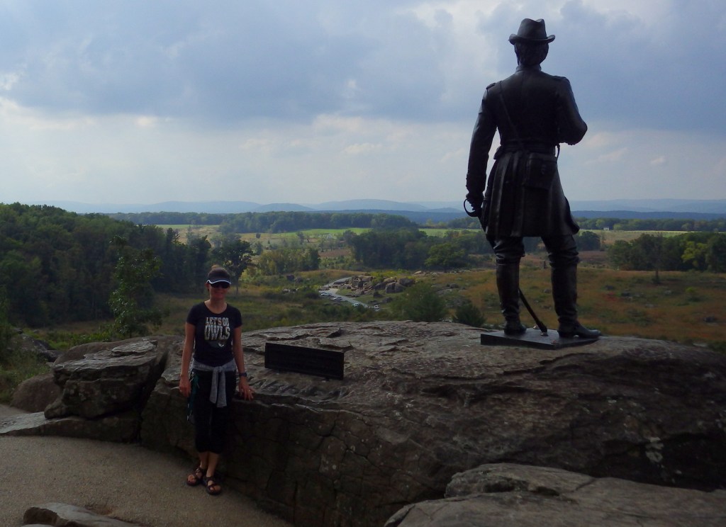
If you have read The Killer Angels by Michael Shaara, you will want to get out of your car and walk around Little Round Top, which overlooks the infamous Devil’s Den, Peach Orchard, and Wheatfield.  The High Water Mark Trail and Soldiers’ National Cemetery Trail are each about one mile in length.

Instagram-worthy Photo

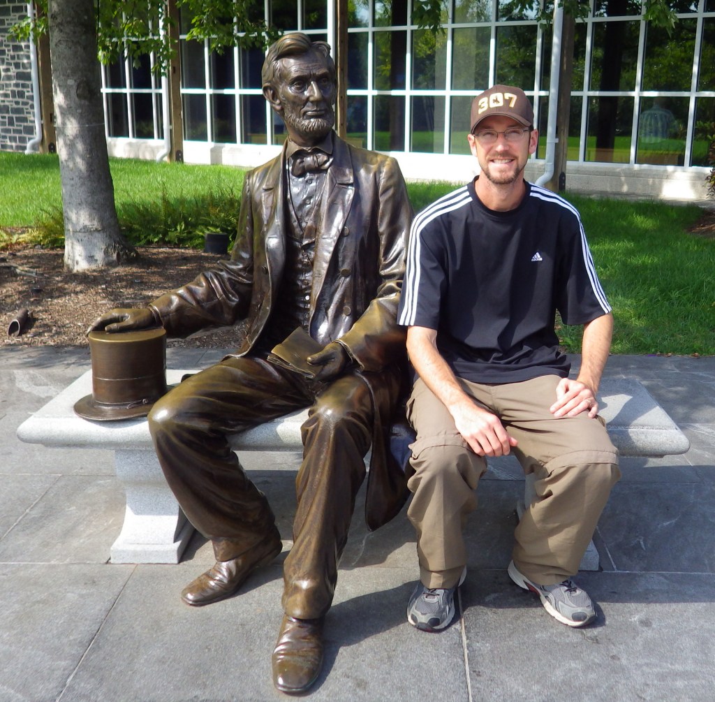
This site is perhaps best known for President Lincoln’s 272-word Gettysburg Address, which he gave in two minutes following a two-hour speech by Edward Everett.  Newspaper reviews from the next day were not favorable for the President.
Peak Season

Summer, though it was very busy even on a weekday in October 2016.

Hours

https://www.nps.gov/gett/planyourvisit/hours.htm

Fees

Free driving tour, $15 per adult for films and museum (no discount for America the Beautiful pass)

Road Conditions

All roads paved

Camping

There a numerous private campgrounds around Gettysburg, and the National Park Service’s Catoctin Mountain Park is only 20 miles away, as are Caledonia and Corodus State Parks.

Related Sites

Antietam National Battlefield (Maryland)

Eisenhower National Historic Site (Pennsylvania)

Allegheny Portage Railroad National Historic Site (Pennsylvania)

Explore More – When was the Cyclorama painting by French artist Paul Philippoteaux completed?

We are a participant in the Amazon Services LLC Associates Program, an affiliate advertising program designed to provide a means for us to earn fees by linking to Amazon.com and affiliated sites.

Antietam National Battlefield

Overview

Antietam National Battlefield was established in 1890 to commemorate those who fought in Sharpsburg, Maryland on September 17, 1862, the bloodiest single day in American military history with more than 23,000 total casualties.  In fact, it was in the aftermath of Antietam that Clara Barton earned her nickname “The Angel of the Battlefield” before going on to found the American Red Cross in 1881.  The battle was a draw, but together with a Union victory at Harpers Ferry stopped the Confederate advance north and provided the impetus for President Lincoln’s Emancipation Proclamation. 

Highlights

Museum, film, driving tour, Observation Tower, Pry House Medical Museum, cannons

Must-Do Activity

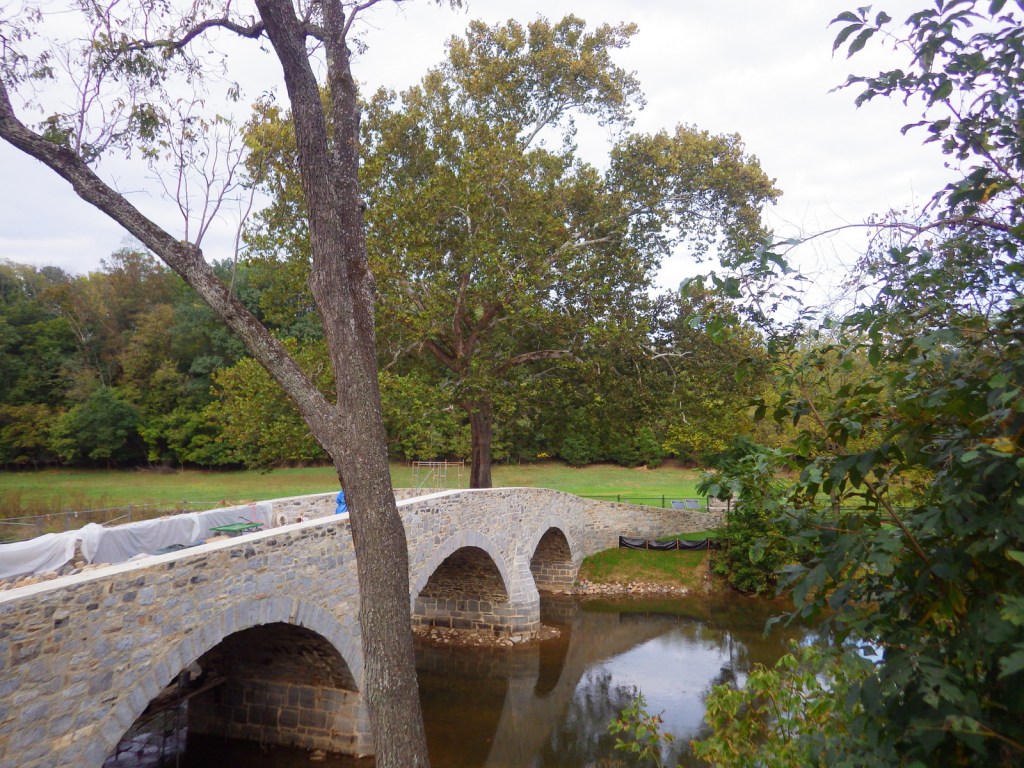
Your entrance fee allows you access to the museum and eight-mile driving tour, as well as 3,200 acres of beautiful Maryland countryside.  Even though this site holds a grisly honor, today it is a charming open space with picturesque bridges and monuments, perfect for a pleasant walk or bike ride.  During our visit, Burnside Bridge was being rebuilt after it collapsed in 2014.  Overall, it is a much quieter spot than nearby Gettysburg National Military Park.

Best Trail

The park has more than doubled in size since 1990 and there are walking trails accessible all along the driving tour route.  At a minimum, you should get out of the car to walk “Bloody Lane” before climbing up the Observation Tower.

Instagram-worthy Photo

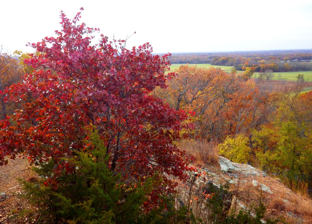
A split-rail fence provided cover for Confederate troops on Sunken Road, also known as “Bloody Lane.”  A nice view of it and the Maryland countryside is offered from the Observation Tower.

Peak Season

Summer

Hours

https://www.nps.gov/anti/planyourvisit/hours.htm

Fees

$20 per vehicle or America the Beautiful pass

Road Conditions

All roads paved

Camping

Reservations are required for organized groups to camp within the park, but there is a walk-in campground located five miles south within Chesapeake and Ohio Canal National Historical Park.  Greenbrier State Park offers a developed campground about 15 miles away.

Related Sites

Catoctin Mountain Park (Maryland)

Harpers Ferry National Historical Park (West Virginia-Maryland-Virginia)

Clara Barton National Historic Site (Maryland)

Explore More – How many Union soldiers are interred at Antietam National Cemetery (alongside veterans from four other wars)?

Homestead National Historical Park

Overview

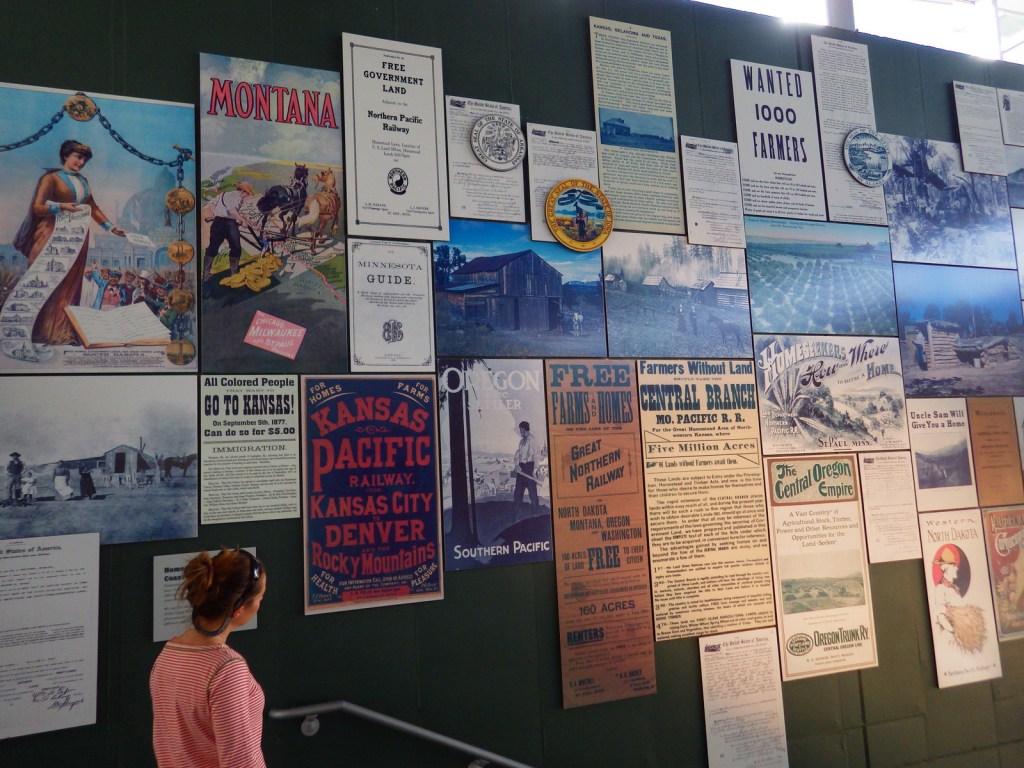
In the midst of the Civil War, a Republican-dominated legislature passed the Homestead Act of 1862, which allowed citizens to stake a claim to 160 acres of unappropriated government land.  Until its repeal in 1976, over 270-million acres across 30 states were transferred from public land to private ownership under this law.  Potential landowners had to apply and pay a fee then “prove up” their claim by farming at least 10 acres and building a home within five years.  Nebraska’s Homestead National Monument of America was authorized in 1936 to remember this era of settlement and renamed in 2021.

Highlights

Heritage Center, film, Palmer-Epard cabin, Freeman School, restored tallgrass prairie

Must-Do Activity

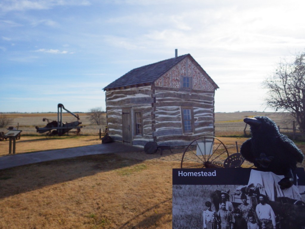
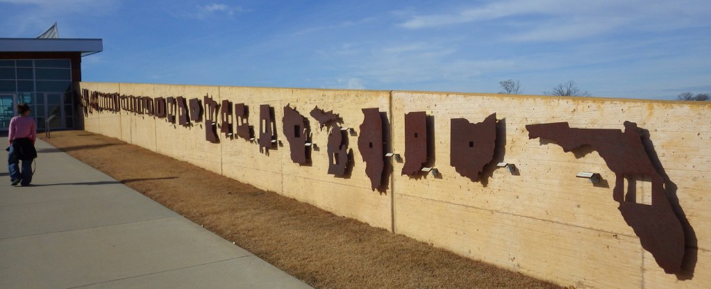
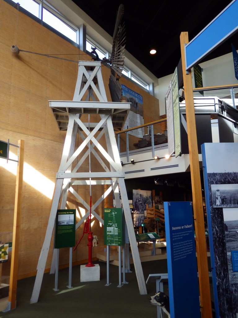
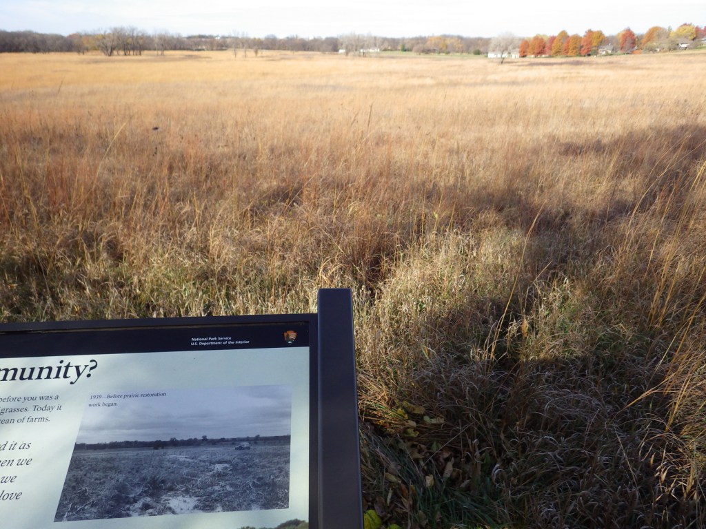
Since 1939, half of this 200-acre piece of land has been managed to resemble the tallgrass prairie that existed here when the Freeman family claimed this T-shaped homestead on January 1, 1863.  It was one of the first farms started after passage of the Homestead Act by Congress.  Inside the Heritage Center, there are many unique exhibits that tell the story of settlement across the western United States of America (plus Florida).  Do not forget to stop by the Education Center and one-room Freeman Schoolhouse that was used from 1872 to 1967.

Best Trail

At the park, 2.5 miles of walking trails connect the museums at the Heritage Center and the Education Center, passing by hedgerows of Osage-orange trees. 

Instagram-worthy Photo

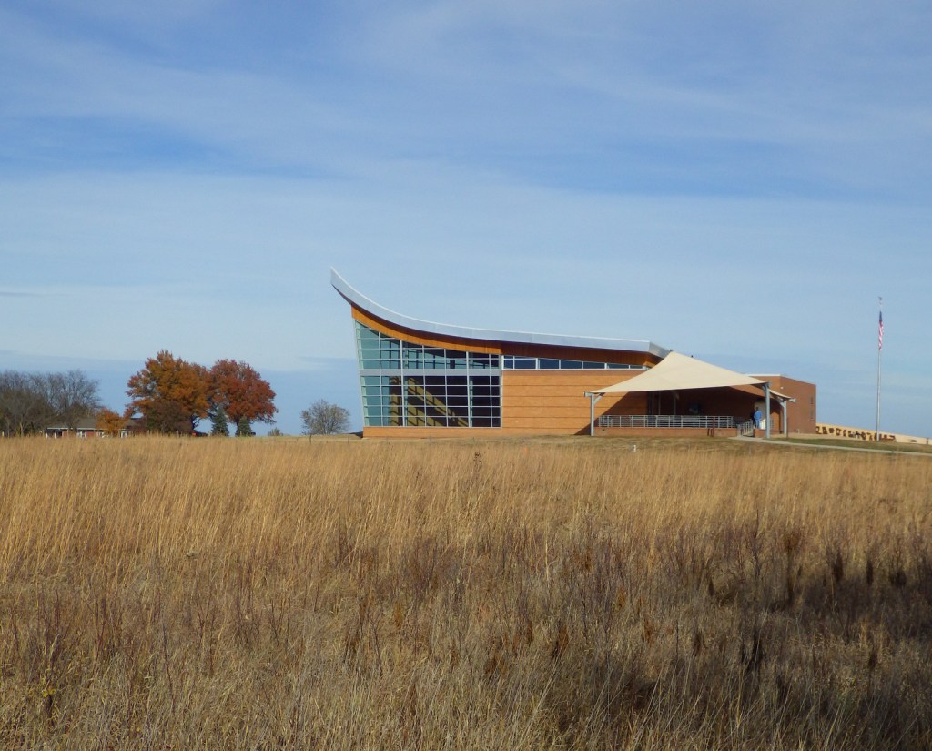
The Heritage Center’s roofline is designed to resemble a single-bottom plow stands and it sits at the edge of a restored tallgrass prairie ecosystem.  Similar to Fort Scott National Historic Site and Tallgrass Prairie National Preserve in Kansas, prescribed fire is used here to promote the growth of native plants.

Peak Season

Summer

Hours

https://www.nps.gov/home/planyourvisit/hours.htm

Fees

None

Road Conditions

All roads paved except a short section to access the parking lot for the Freeman School.  The parking lot at the Heritage Center is exactly one acre in size to help visitors visualize the 10 acres required to farm for “proving up” a homestead.

Camping

Four miles east of the park, Beatrice, Nebraska has two city parks with campgrounds.

Related Sites

Tallgrass Prairie National Preserve (Kansas)

Scotts Bluff National Monument (Nebraska)

Hubbell Trading Post National Historic Site (Arizona)

Explore More – Which First Amendment right was first challenged in court because of its use in teaching at the one-room Freeman School?

We are a participant in the Amazon Services LLC Associates Program, an affiliate advertising program designed to provide a means for us to earn fees by linking to Amazon.com and affiliated sites.
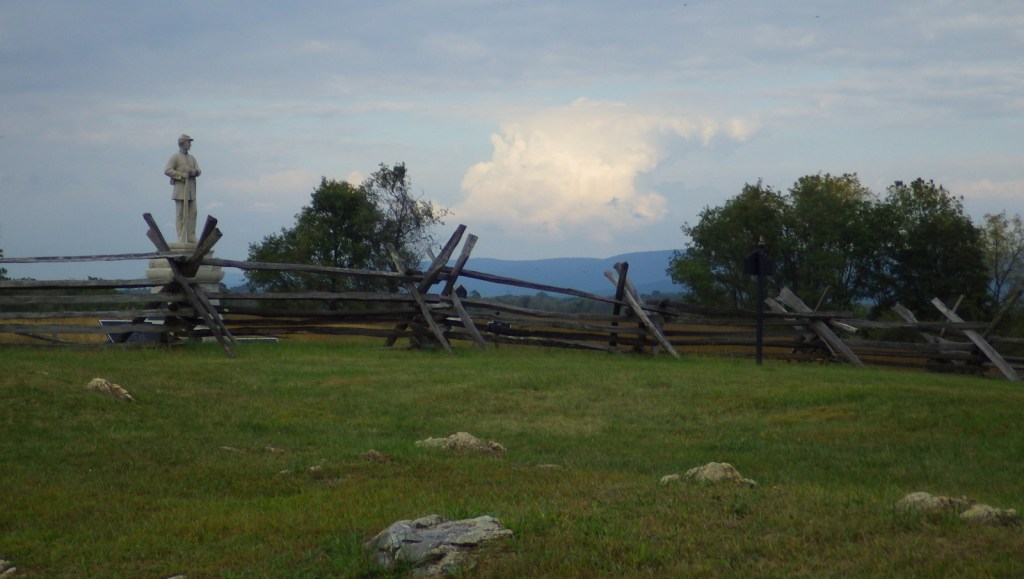
Pea Ridge National Military Park

Overview

This 4,300-acre park memorializes a battle fought early in the Civil War for control of the Union state of Missouri.  It took place in March 1862, seven months after the events at Wilson’s Creek National Battlefield.  Pea Ridge National Military Park is located near Fayetteville, Arkansas and also contains a section of the Trail of Tears National Historic Trail.  Two regiments fighting on the Confederate side during the Battle of Pea Ridge were Cherokees that were forced to march to Indian Territory from North Carolina in 1838.

Highlights

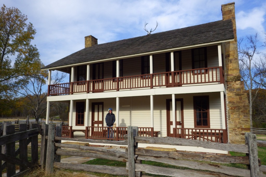
Museum, film, driving tour, Elkhorn Tavern, cannons

Must-Do Activity

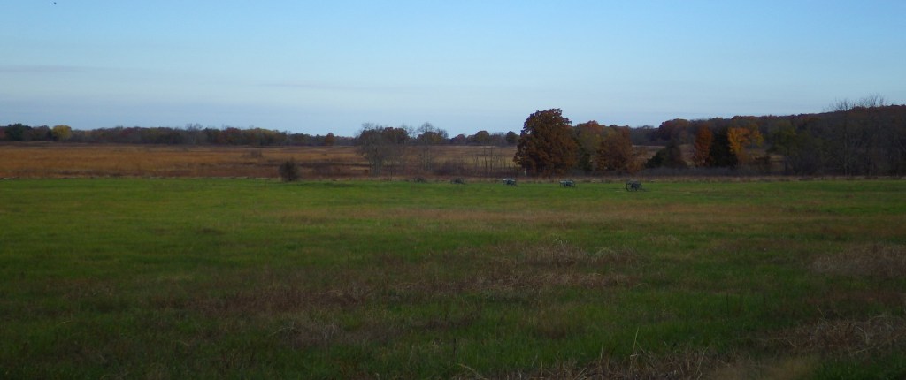
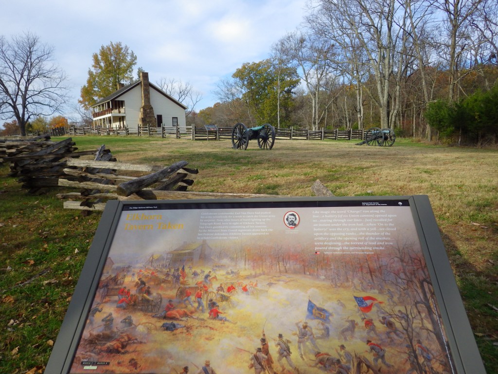
A quality film and further exhibits at the visitor center help fill in any unclear parts about the battle on March 7-8, 1862 that kept Missouri in the Union.  The seven-mile driving tour includes informational stops that explain the battle in chronological order from the Confederate assault at Leetown to their eventual retreat from Elkhorn Tavern. 

Best Trail

There are ten miles of hiking trails and 11 miles of equestrian trails that run through the park.  Also, a portion of the infamous Trail of Tears follows the route of the telegraph wire road from 1838.  To learn more about the Trail of Tears National Historic Trail, we recommend a visit to Fort Smith National Historic Site, which is only a two-hour drive away.

Instagram-worthy Photo

Stop to walk around a reconstruction of Elkhorn Tavern, which was used as a hospital by both sides during the battle and later as a Union telegraph station.  The original building was burned by Confederate guerillas in 1863.

Peak Season

Summer

Hours

https://www.nps.gov/peri/planyourvisit/hours.htm

Fees

$20 per vehicle or America the Beautiful pass

Road Conditions

All roads paved

Camping

Beaver Reservoir is 20 miles away and has public campgrounds.

Related Sites

Wilson’s Creek National Battlefield (Missouri)

Buffalo National River (Arkansas)

Fort Smith National Historic Site (Arkansas-Oklahoma)

Explore More – The Trail of Tears National Historic Trail has multiple routes; how long is it in total?

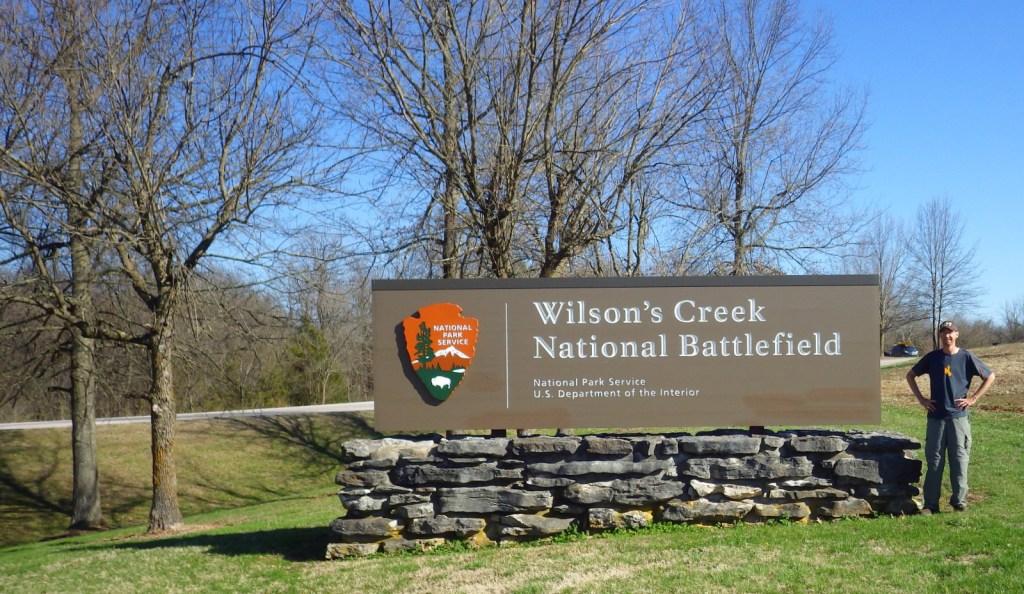
Wilson’s Creek National Battlefield

Overview

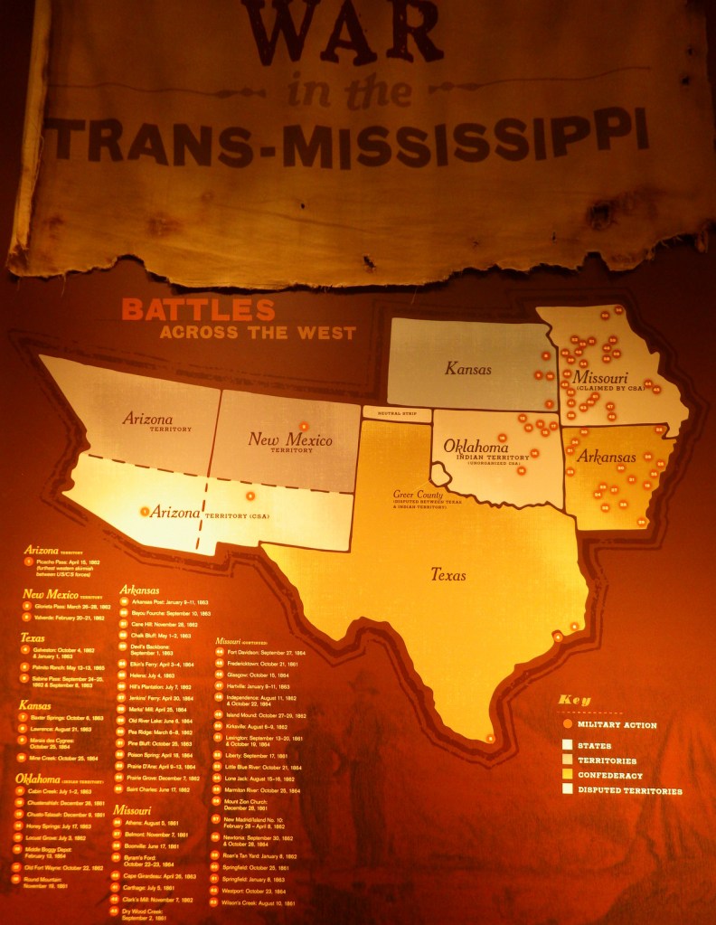
Early in the Civil War control of the state of Missouri hung in the balance.  Union and Confederate forces gathered near Springfield and both organized surprise attacks for the morning of August 10, 1861.  Rain overnight caused Confederate General Sterling Price to cancel his plan, but Union General Nathaniel Lyon went through with his in the face of overwhelming odds.  The strategy worked briefly but cost Lyon his life.  Even though the Union army retreated that day, seven months later they prevailed during the Battle of Pea Ridge in northern Arkansas, successfully keeping Missouri in the Union. 

Highlights

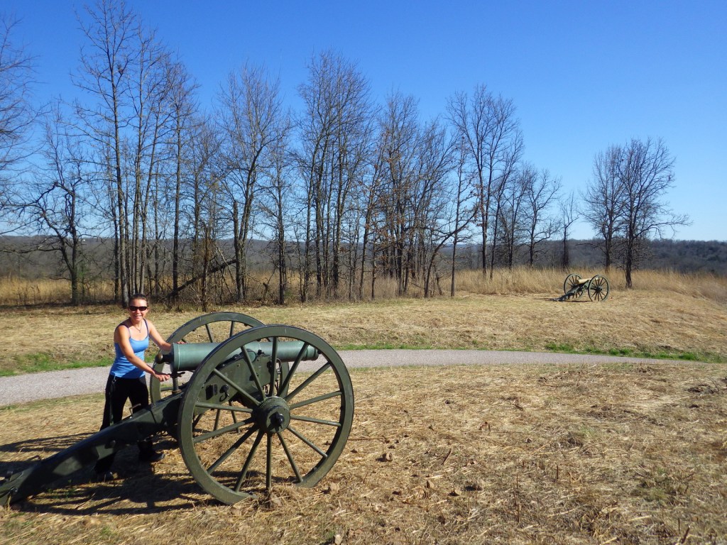
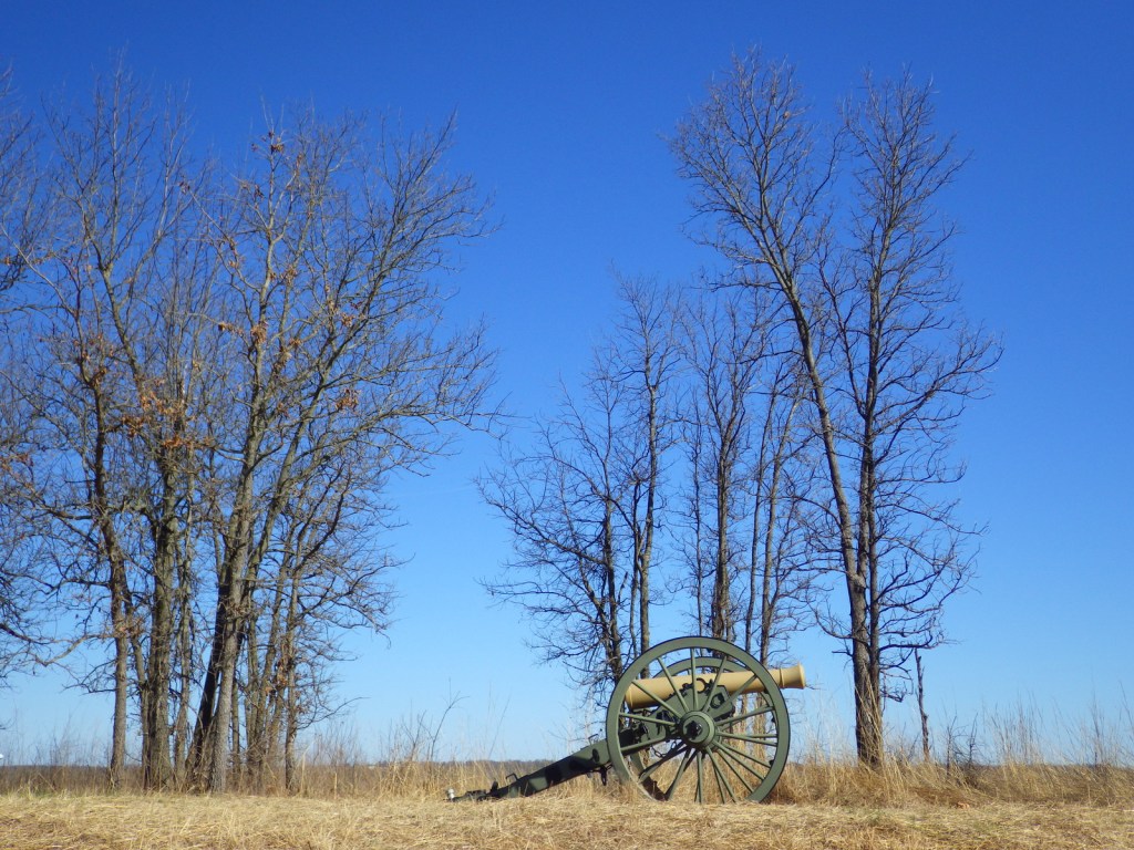
Museum, film, driving tour, Ray House, cannons

Must-Do Activity

Missouri stayed in the Union throughout the war despite the $10-million in property damage caused by guerrilla fighters, making it the third most fought-over state.  Start your visit by watching a short film, then peruse the excellent museum before taking the five-mile driving route that provides an overview of the battle at eight interpretive stops.  The paved road is heavily used by locals for jogging and biking, so drive carefully.

Best Trail

A portion of the infamous Trail of Tears crosses through this park following the route of the telegraph wire south towards Elkhorn Tavern in Arkansas’ Pea Ridge National Military Park.  There are also hiking and equestrian trails through the park’s 1,926 acres.
Instagram-worthy Photo

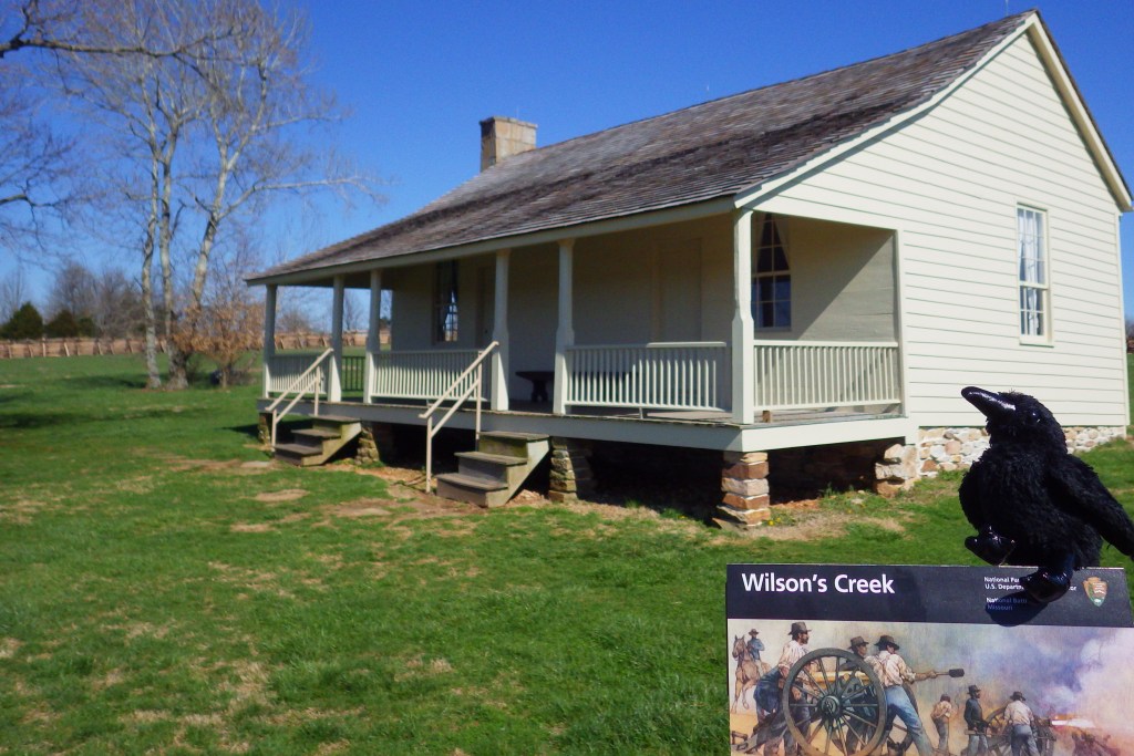
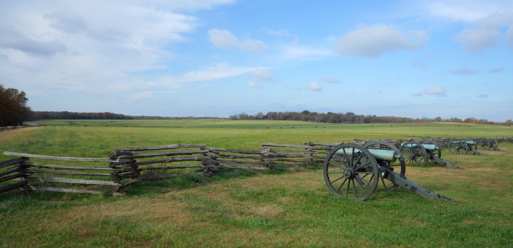
Rebuilt at its original location, there is a reconstruction of the Ray House, which was used as a Confederate hospital.  Nearby split-rail fences add to the bucolic ambiance.

Peak Season

Summer

Hours

https://www.nps.gov/wicr/planyourvisit/hours.htm

Fees

$20 per vehicle or America the Beautiful pass

Road Conditions

Paved, but gate closes tour road exactly at 5 p.m.

Camping

Within five miles there is a private campground near Interstate-44, plus a variety of state parks within an hour’s drive.

Related Sites

Pea Ridge National Military Park (Arkansas)

Ulysses S. Grant National Historic Site (Missouri)

George Washington Carver National Monument (Missouri)

Explore More – How many Union soldiers were buried in the sinkhole near Totten’s Battery on Bloody Hill (then in 1867 were moved to a National Cemetery in Springfield)?