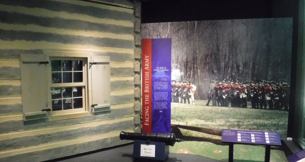
Tag Archives: trail

Glen Canyon National Recreation Area

Overview

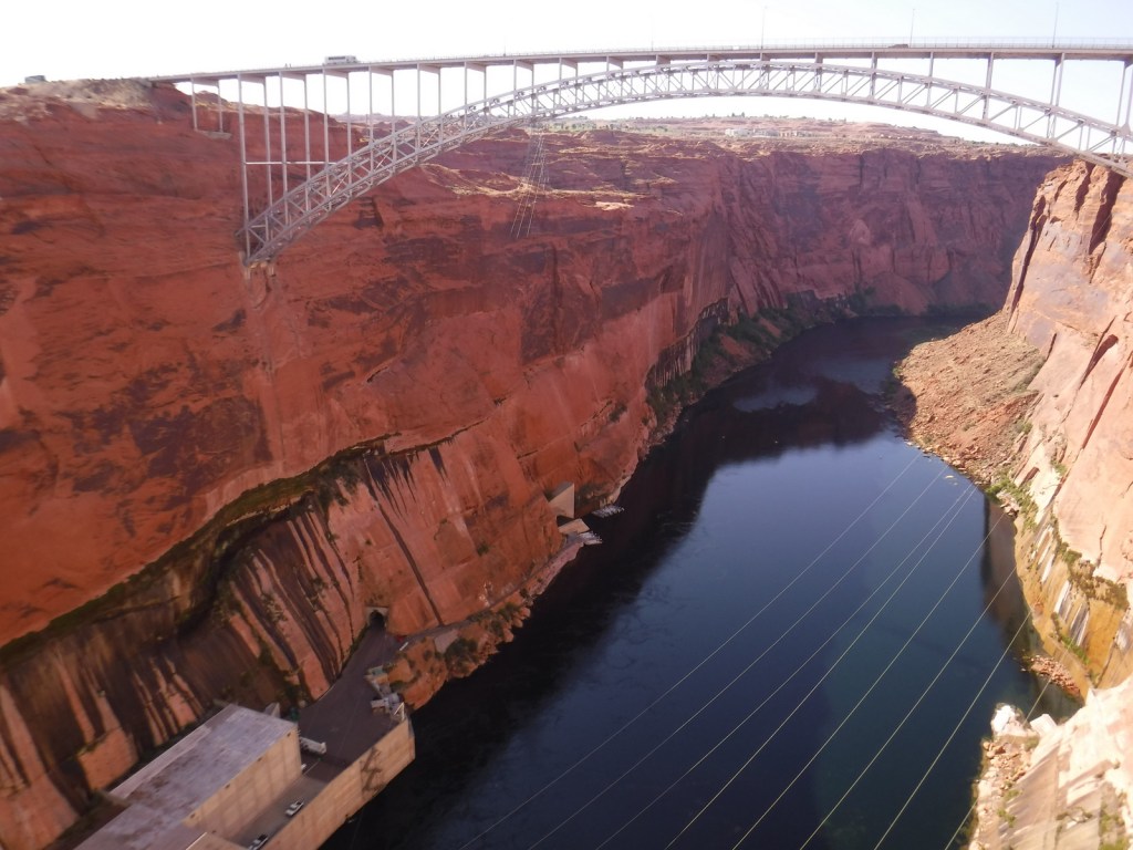
Glen Canyon National Recreation Area encompasses 1.2-million acres surrounding the snaky shoreline of Lake Powell, named for geologist John Wesley Powell who led a mapping expedition down the Colorado River in 1869.  The reservoir was formed by the Glen Canyon Dam, which was built between 1956-63 to store water for the Southwestern U.S. and generate hydroelectricity.  The damming was controversial because it destroyed archaeological sites, submerged scenic canyons, and altered the flow of the Colorado River into Grand Canyon National Park. 

Highlights

Horseshoe Bend Overlook, Lake Powell, Glen Canyon Dam, Cathedral Wash, Lees Ferry, Hole-in-the-Rock

Must-Do Activity

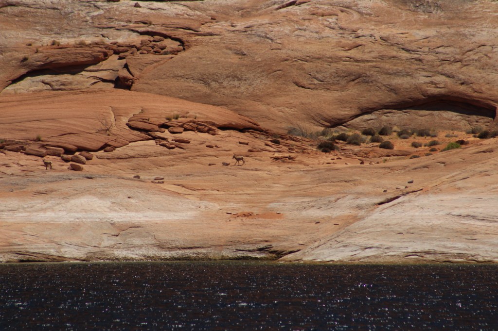
The National Park Service (NPS) run Carl Hayden Visitor Center in Page, Arizona is a good place to start a visit, where you can purchase tickets for a dam tour.  The meandering lake has about 2,000 miles of shoreline (mostly in Utah) with plenty of coves to explore and spend the night aboard a houseboat (rentals available).  If you do not want to attempt navigation there are many commercial boat trips, including an all-day cruise to Rainbow Bridge National Monument.  If you plan to stay on land, be sure to walk out to Horseshoe Bend Overlook, hike through the high desert landscape, or drive some of the hundreds of miles of dirt roads.

Best Trail

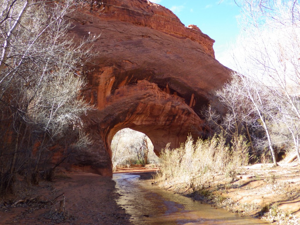
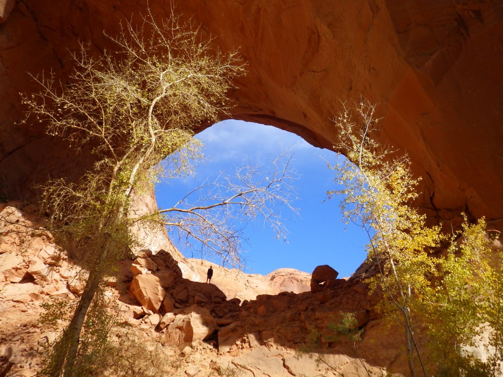
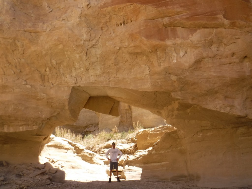
Wiregrass Canyon is located east of Big Water, Utah and the rocky trail passes hoodoos and two natural bridges.

Instagram-worthy Photo

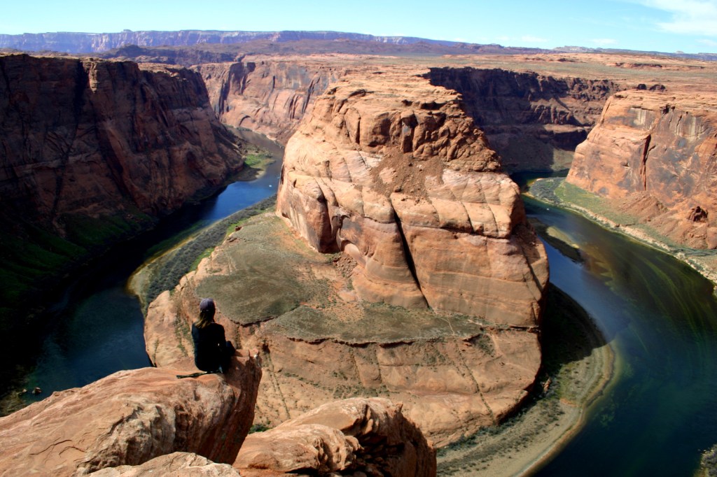
You might want to bring your “selfie stick” to iconic Horseshoe Bend Overlook, a short 0.7-mile one-way hike from the parking area on Highway 89 outside Page, Arizona.
Peak Season

Spring and fall

Hours

https://www.nps.gov/glca/planyourvisit/hours.htm

Fees

Parking is now $10 at Horseshoe Bend Overlook (no NPS passes accepted), but many other sites are free. There is a $30 per vehicle entrance fee at some marinas (NPS passes accepted), in addition to charges for the dam tour and guided boat tours.

Road Conditions

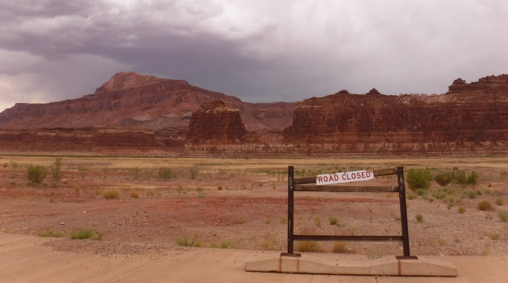
This park is famous for its backcountry 4×4 roads (like Hole-in-the-Rock Road) and flash floods, so check with a park ranger before attempting anything unpaved.  A fee is charged to ferry across the lake between Halls Crossing and Bullfrog Marina.

Camping

There are several developed campgrounds (mostly near marinas), but free primitive camping is allowed along most dirt roads.  A permit is required for overnight camping in the beautiful Coyote Gulch area, which is popular with backpackers.

Related Sites

Lake Mead National Recreation Area (Nevada-Arizona)

Canyon de Chelly National Monument (Arizona)

Capitol Reef National Park (Utah)
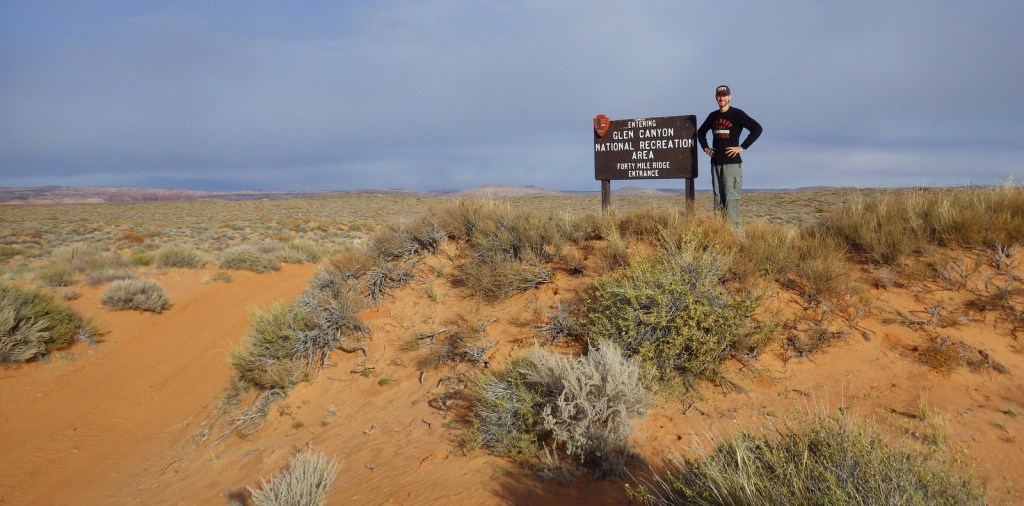
Explore More – Lake Powell is well known for its “bath tub ring,” so when did the reservoir last reach its high-water mark?

Hot Springs National Park

Overview

The hot springs that give this Arkansas town its name were the first site ever set aside by the federal government for protection way back in 1832.  That was forty years before Yellowstone National Park came into existence, and is the reason Hot Springs National Park was commemorated as the first minted of the America the Beautiful Coin Collection in 2010.  It is also the reason that Hot Springs is unlike any other National Park in the system, checking in at only 5,550 acres on either side of a bustling downtown lined with historic bathhouses.

Hot Springs National Park is not one of the 50 covered in great detail in our guidebook to the National Parks (available on Amazon), but as one of the 63 National Parks it is included with a photo.

Highlights

Fordyce Bathhouse, West Mountain Scenic Drive, Goat Rock, Hot Springs Mountain Tower, Balanced Rock

Must-Do Activity

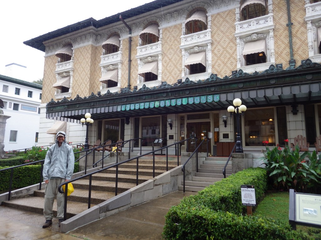
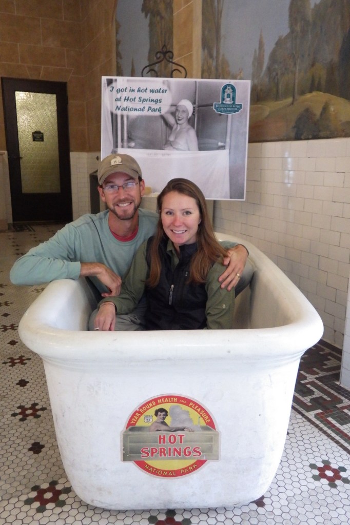
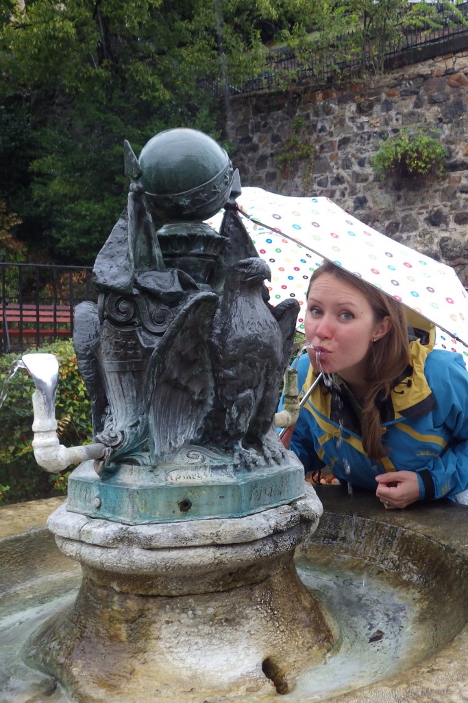
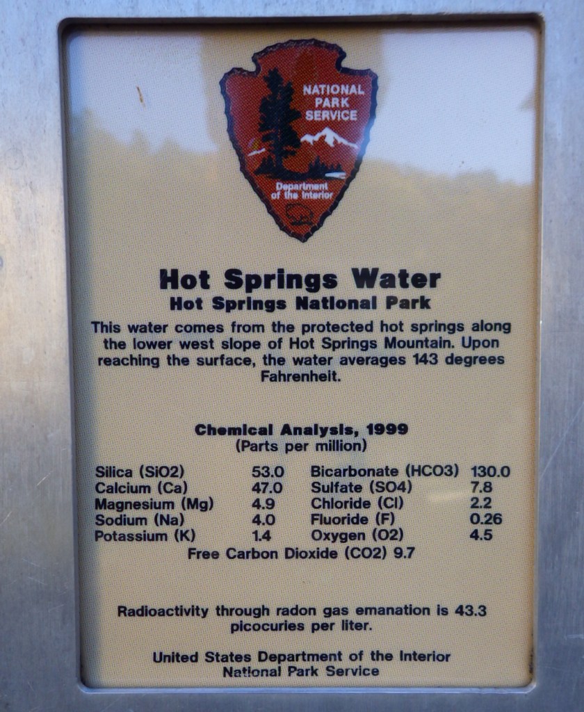
When you visit, it is best to start at the National Park Service (NPS) museum within the former Fordyce Bathhouse, where you will learn that the water is heated not by volcanic activity but by gravitational compression.  Whether or not you pay to soak in the non-sulfurous waters at a privately-owned bathhouse, be sure to fill up a bottle at one of several mineral rich drinking fountains around town.  Then you too can “quaff the elixir” the same way tourists have been doing here for nearly 200 years.

Best Trail

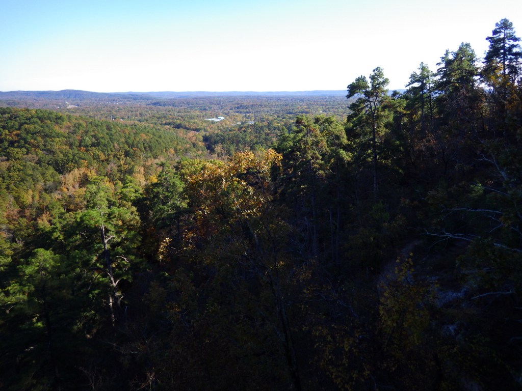
There are several hiking options in the forested hills around the town, including the 17-mile long Sunset Trail that provides access to Balanced Rock.  The Gulpha Gorge Trail leaves from the NPS campground up to vistas at Goat Rock or you can also park at the top of North Mountain and hike down to it on the Goat Rock Trail.

Instagram-worthy Photo

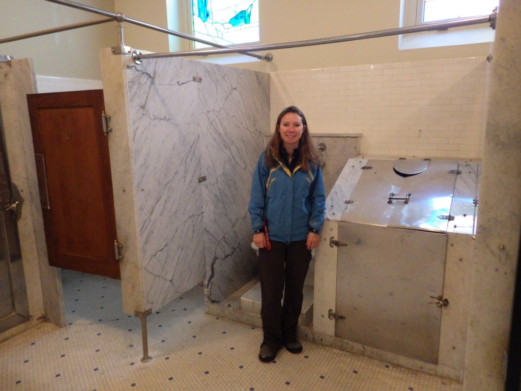
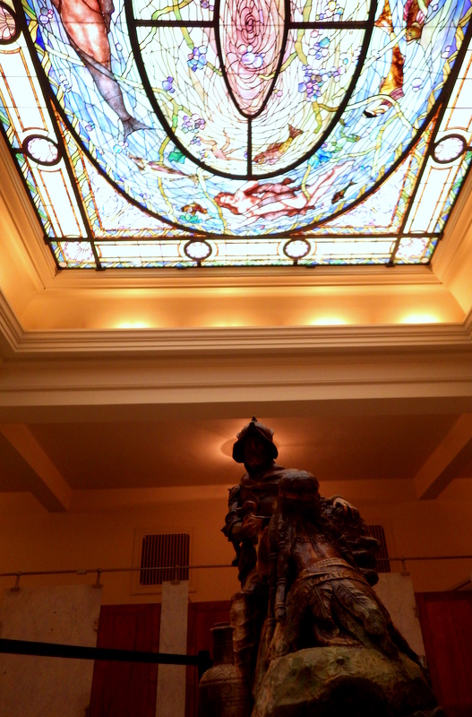
Inside the men’s locker room, a beautiful stained glass ceiling lets in light on the sculpture of Spanish conquistador Hernando de Soto who came to the hot springs in 1541.

Peak Season

Summer

Hours

https://www.nps.gov/hosp/planyourvisit/basicinfo.htm

Fees

None to visit the NPS museum in Fordyce Bathhouse, but there is a charge to climb Hot Springs Mountain Tower or visit one of the privately-owned bathhouses (like Buckstaff Baths or Quapaw Baths and Spa).

Road Conditions

All roads are paved, but there are some tight curves on the scenic drive up Hot Springs Mountain.

Camping

The NPS run Gulpha Gorge Campground offers sites with or without electrical and water hookups.

Related Sites

Chickasaw National Recreation Area (Oklahoma)

Little Rock Central High School National Historic Site (Arkansas)

Buffalo National River (Arkansas)

Explore More – In the roaring 1920s, Hot Springs, Arkansas was like the original Las Vegas attracting athletes, politicians, and which famous mobsters?
We are a participant in the Amazon Services LLC Associates Program, an affiliate advertising program designed to provide a means for us to earn fees by linking to Amazon.com and affiliated sites.

Cedar Creek and Belle Grove National Historical Park

Overview

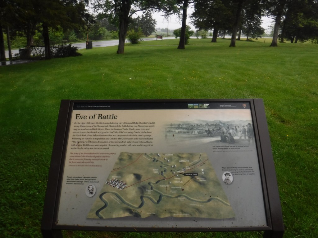
The Shenandoah Valley was the Confederate States of America’s “breadbasket” in the 1860s and thus had strategic importance during the Civil War.  This led to numerous skirmishes and the fight that took place on October 19, 1864 is commemorated at Cedar Creek and Belle Grove National Historical Park.  Little of the land within this 3,700-acre park established in 2002 is owned by the federal government, but the National Park Service (NPS) has done a significant amount of work to improve its interpretive signage since our first visit in 2016.

Highlights

Morning Attack Trails, driving tour, Hupp’s Hill Museum, Belle Grove historic plantation

Must-Do Activity

If you need the stamp for your NPS passport, stop at the Visitor Contact Station located in a strip mall in Middletown, Virginia.  There you can pick up a free guide to help you follow the driving tour focused on the October 19, 1864 battle fought at Cedar Creek.  There is also a free app available on the park’s website.  Managed by a non-profit that organizes an annual reenactment of the battle, Hupp’s Hill Civil War Park has a museum (fee).  You can also pay to take a tour of the manor house at Belle Grove.

Best Trail

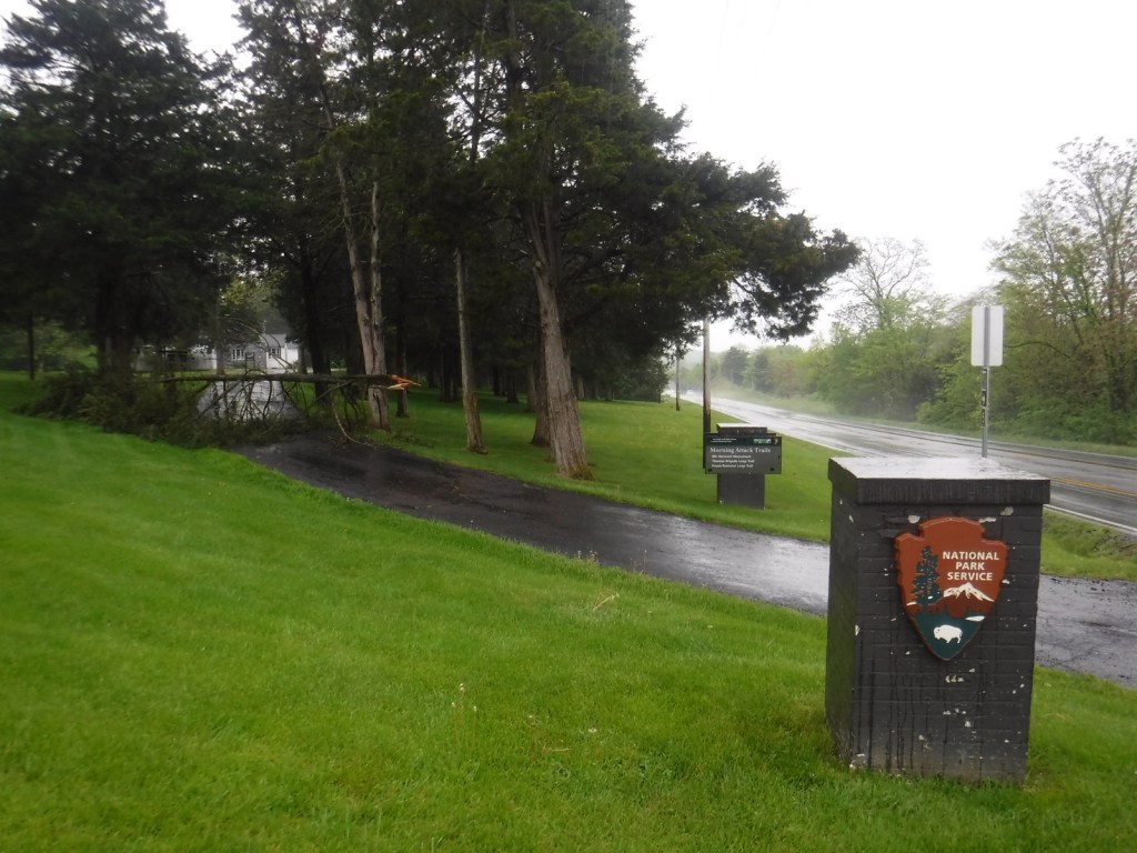
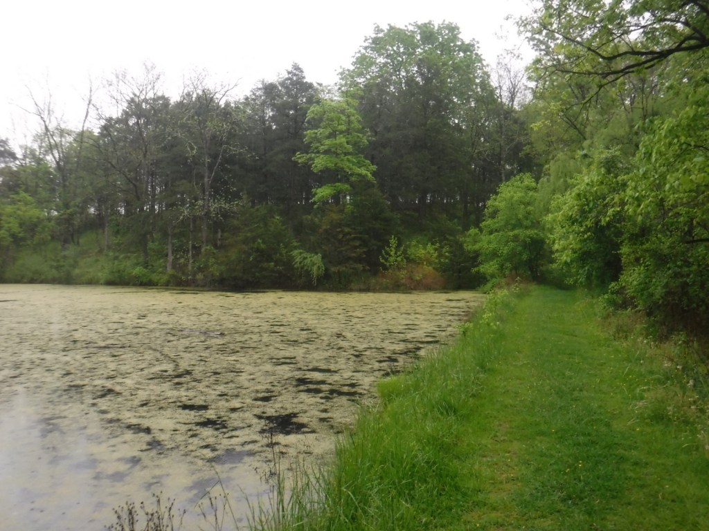
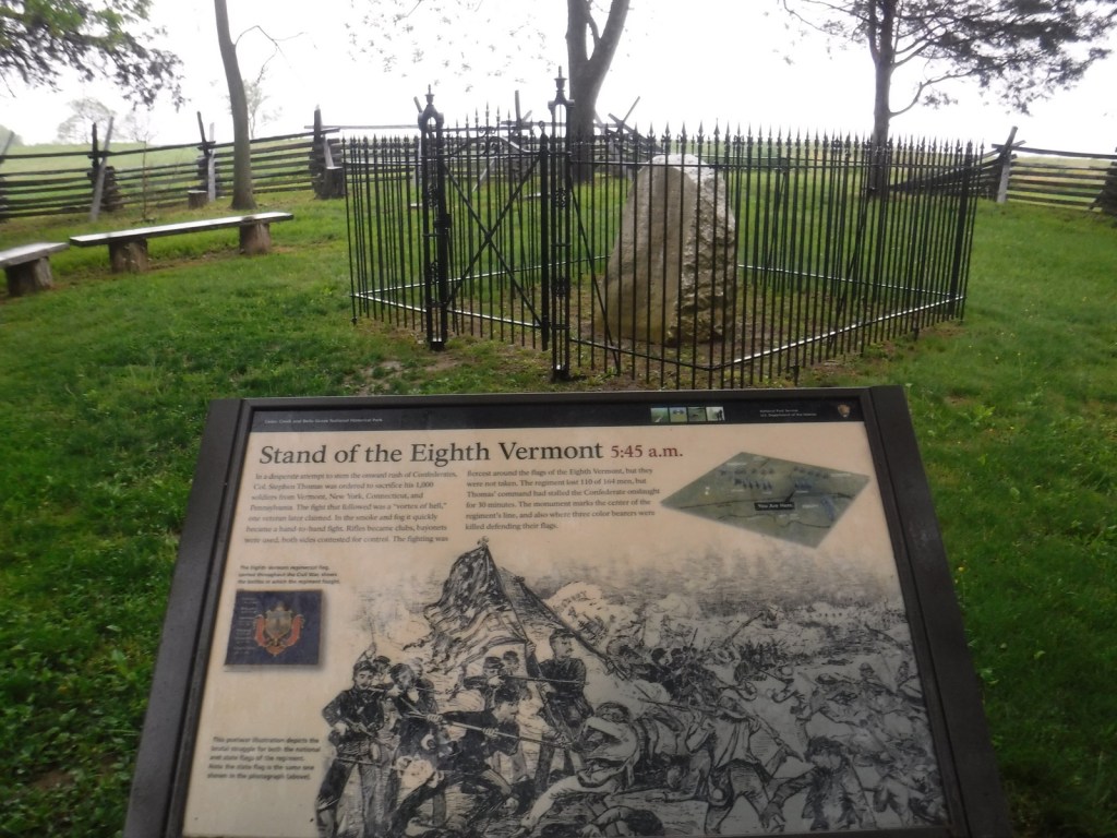
The Morning Attack Trails are located next to the NPS Headquarters off Highway 11 with interpretive signage placed on the 300-yard long 8th Vermont Monument Trail, 0.6-mile Thomas Brigade Loop, and 0.7-mile Hayes-Ramseur Loop.

Instagram-worthy Photo

Available for guided tours (fee) between April and December, the manor house at Belle Grove plantation dates back to 1797.  Union General Philip Sheridan used the house as his headquarters in 1864 and most of his 31,600 troops camped on the property.

Peak Season

Fall

Hours

https://www.nps.gov/cebe/planyourvisit/hours.htm

Fees

Admission charged for guided tours of Belle Grove manor house and entrance to Hupp’s Hill Museum.

Road Conditions

Some of the roads on the driving tour are unpaved and not recommended for buses or RVs.

Camping

None

Related Sites

Gettysburg National Military Park (Pennsylvania)

Harpers Ferry National Historical Park (West Virginia-Maryland-Virginia)

Shenandoah National Park (Virginia)

Explore More – Belle Grove was owned by Isaac Hite, Jr. and his wife Nelly, who was the sister of which U.S. President?

Gila Cliff Dwellings National Monument

Overview

Archaeological evidence suggests indigenous farmers lived around the Gila River dating back thousands of years, but the cliff dwellings were only briefly inhabited between AD 1270 and 1300.  After their initial discovery by Anglo-American settlers in 1878 heavy looting occurred, prompting President Theodore Roosevelt to establish Gila Cliff Dwellings National Monument in 1907.  It is not an easy part of the country to access, but offers two incredibly scenic drives through the Gila National Forest in southwestern New Mexico.  Plan to spend at least a couple days in the area, maybe hiking or backpacking to some hot springs.

Highlights

Museum, film, ruins, scenic views, hot springs in area

Must-Do Activity

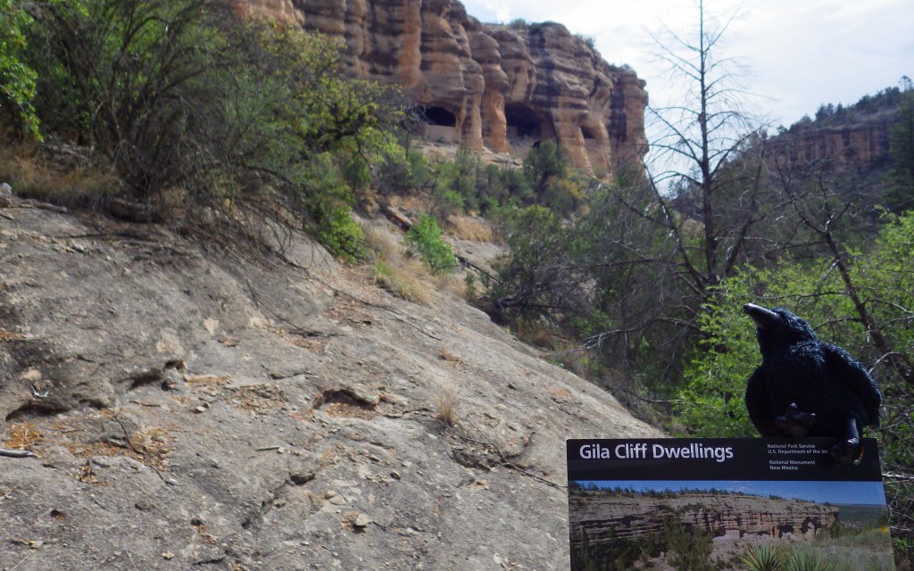
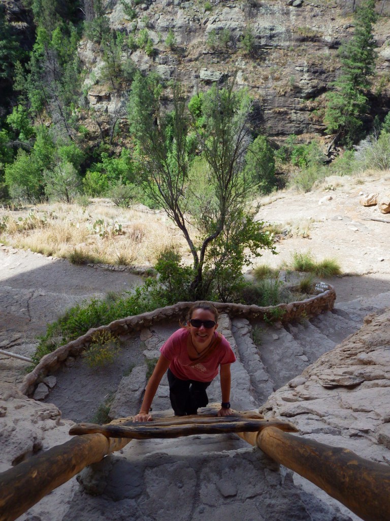
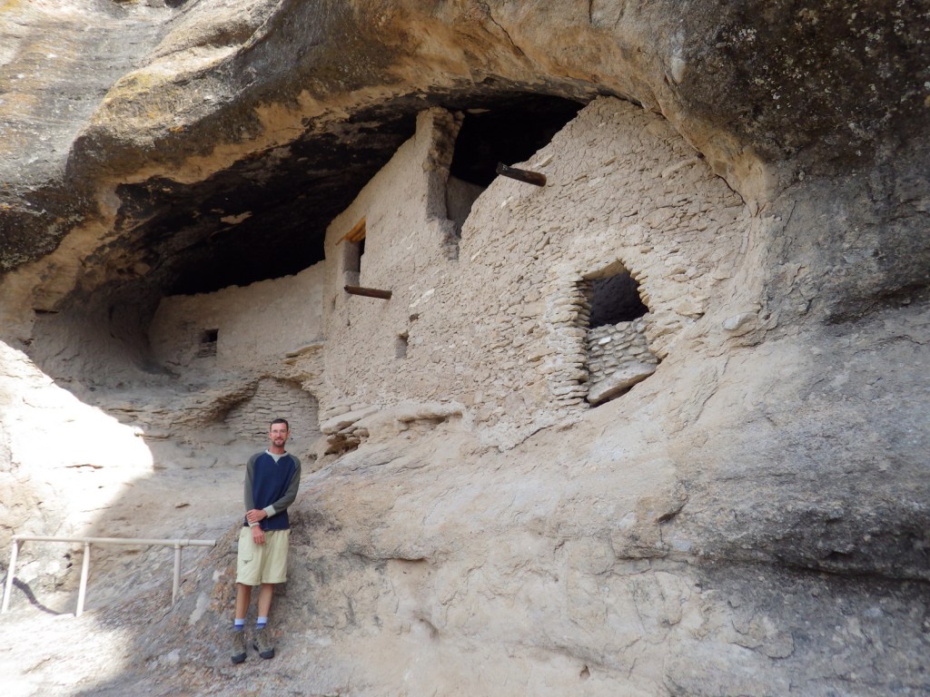
The Gila Visitor Center is jointly managed for the 533-acre National Monument and 558,000-acre Gila Wilderness (which in 1924 became the world’s first designated Wilderness).  From the National Park Service (NPS) contact station located just down the road, a one-mile loop trail climbs 180 feet to a well-preserved collection of cliff dwellings.  If you find that you enjoy climbing ladders up to cliff dwellings, then check out Bandelier National Monument and Balcony House at Mesa Verde National Park.

Best Trail

The trailhead also provides access to the Gila Wilderness, so watch for backpackers on the road and black bears along the West Fork Gila River.  Lightfeather Hot Springs is less than one mile from a different trailhead located closer to the Gila Visitor Center.

Instagram-worthy Photo

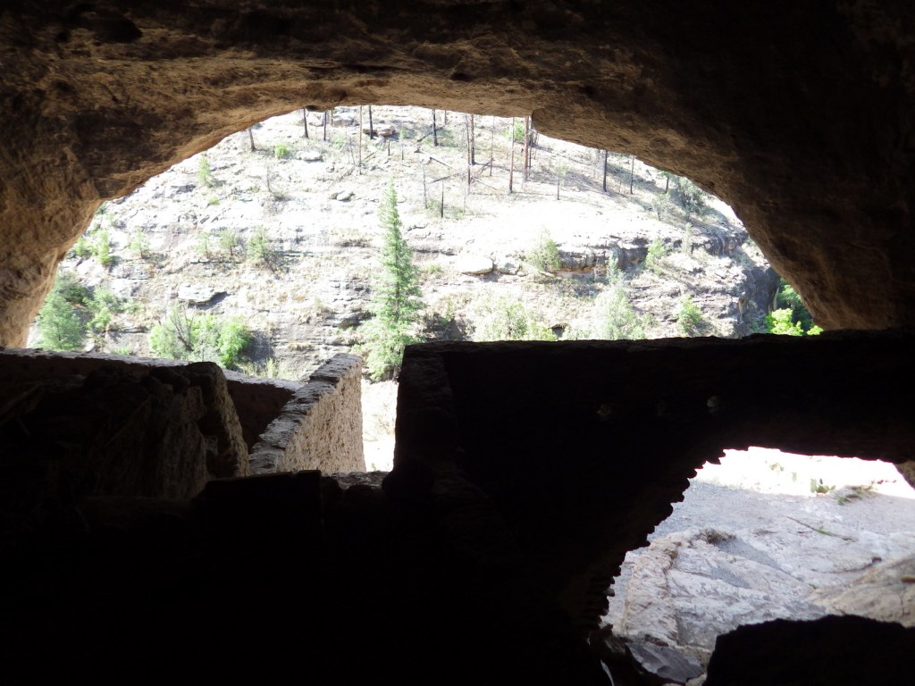
There are about 40 rooms in the cliff dwelling ruins, which housed approximately ten families.  The south-facing cliff dwellings received the sun in the winter and shade in the summer.

Peak Season

Summer

Hours

https://www.nps.gov/gicl/planyourvisit/hours.htm

Fees

None

Road Conditions

The access roads are paved, but narrow and curvy, especially Highway 15 that heads north from Silver City, New Mexico.

Camping

Upper and Lower Scorpion Campgrounds are located just outside the National Monument boundaries in Gila National Forest.  No permits are necessary to backpack in the Gila Wilderness.

Related Sites

Montezuma Castle National Monument (Arizona)

Fort Bowie National Historic Site (Arizona)

Chiricahua National Monument (Arizona)

Explore More – The people who built the cliff dwellings were part of what culture, with pottery designs unique to the Tularosa phase (AD 1100 to 1300)?

Guilford Courthouse National Military Park

Overview

Even in the wake of Patriot victories at Kings Mountain and Cowpens, the British army was not giving up their southern colonies without a fight.  Major General Nathanael Greene was in charge of the Continental Army in the southern theater and his troops were aggressively pursued by British General Charles Cornwallis.  Although he lost the battle on March 15, 1781, Greene’s name was later applied to the nearby town of Greensboro, North Carolina.

Highlights

Museum, film, Hoskins Farm, Major General Nathanael Greene statue

Must-Do Activity

Start at the National Park Service (NPS) visitor center, watch the short film (also available on the NPS website), then make stops along the 2.25-mile auto tour.  You will learn the story of what took place on March 15, 1781, when Greene’s defensive position at Guilford Courthouse was attacked by British forces.  While the Patriots withdrew they only suffered 7% casualties, compared to the British who lost 28% of their army, leading them to eventually retreat to Yorktown, Virginia.  After the battle, Greene continued to fight, leading his men against overmatched backcountry outposts of British troops such as the one at Ninety Six, South Carolina. 

Best Trail

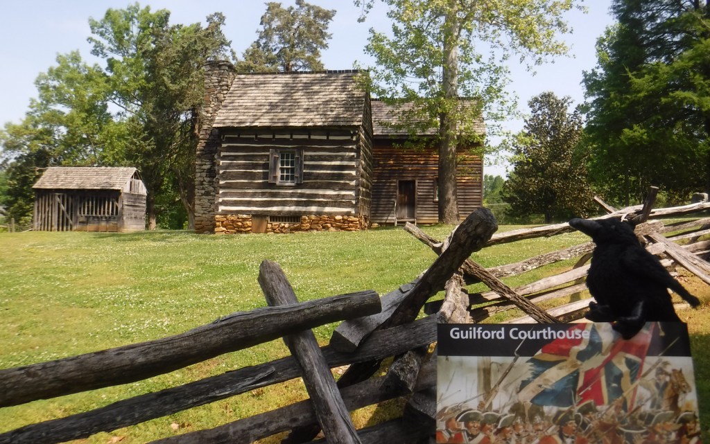
In addition to the auto tour route, a paved bicycle path wends through the battlefield.  The lovely 229-acre Guilford Courthouse National Military Park is heavily utilized for recreation by the local people of Greensboro.  As such, you are allowed to walk your dog in the park. In the summer, you can also walk around Hoskins Farm, though its buildings are closed, as is the old Colonial Heritage Center.

Instagram-worthy Photo

Many monuments line the pathways that cut through 229-acre Guilford Courthouse National Military Park, with the equestrian statue of Major General Nathanael Greene being the most prominent.

Peak Season

Summer

Hours

https://www.nps.gov/guco/planyourvisit/hours.htm

Fees

None

Road Conditions

All roads paved

Camping

The city of Greensboro operates a campground with showers south of town.

Explore More – Which British politician remarked, “Another such victory would destroy the British Army” following the battle at Guilford Courthouse?