Tag Archives: trail

Kenai Fjords National Park

Kenai Fjords National Park

Alaska

Managed by National Park Service

Established 1980

669,984 acres

Website: nps.gov/kefj

Overview

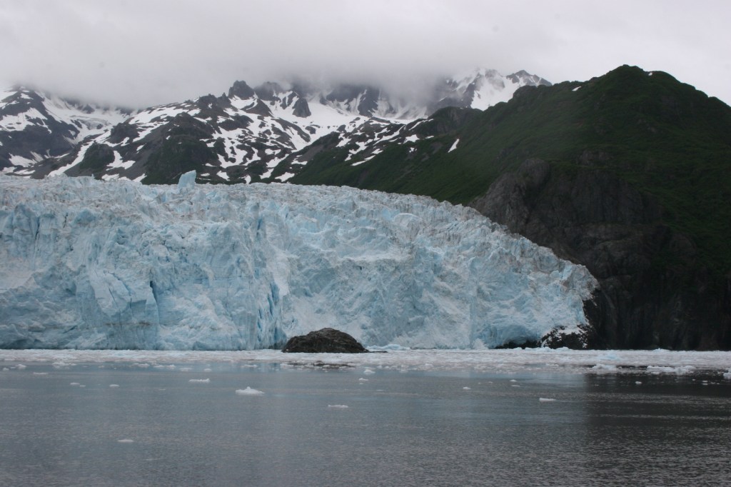
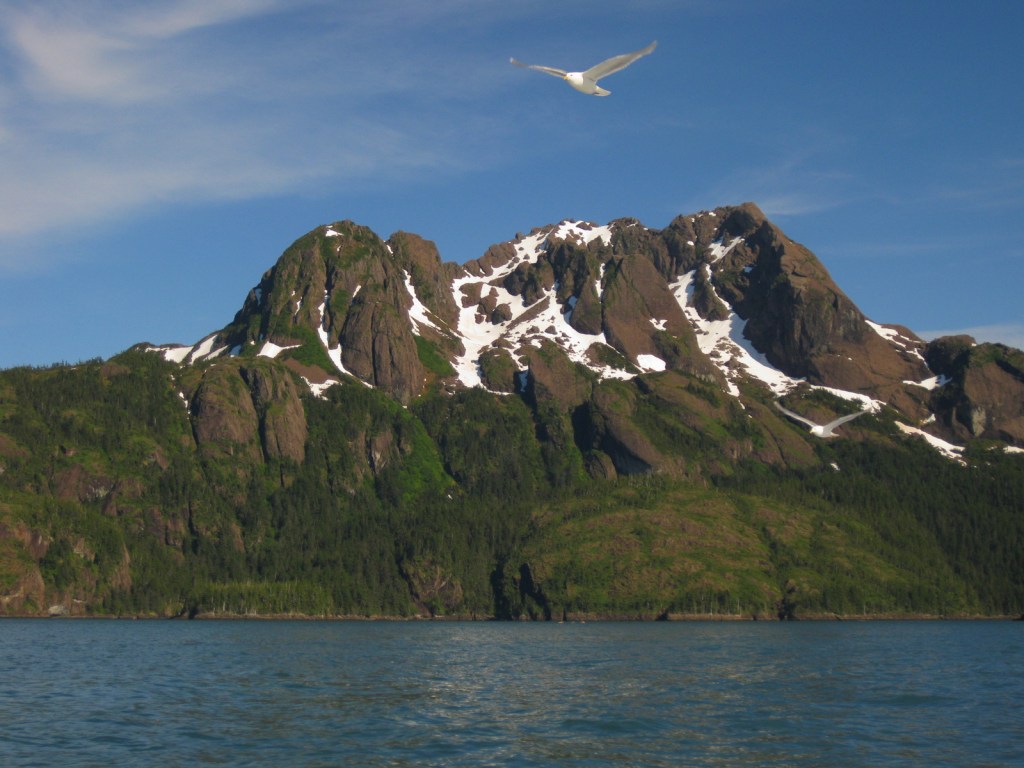
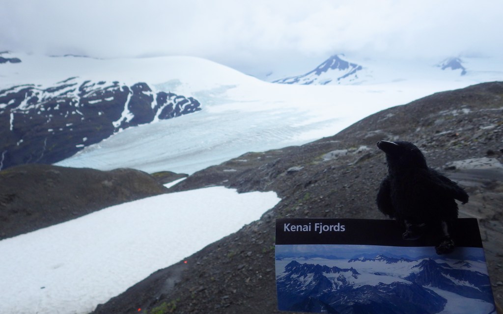
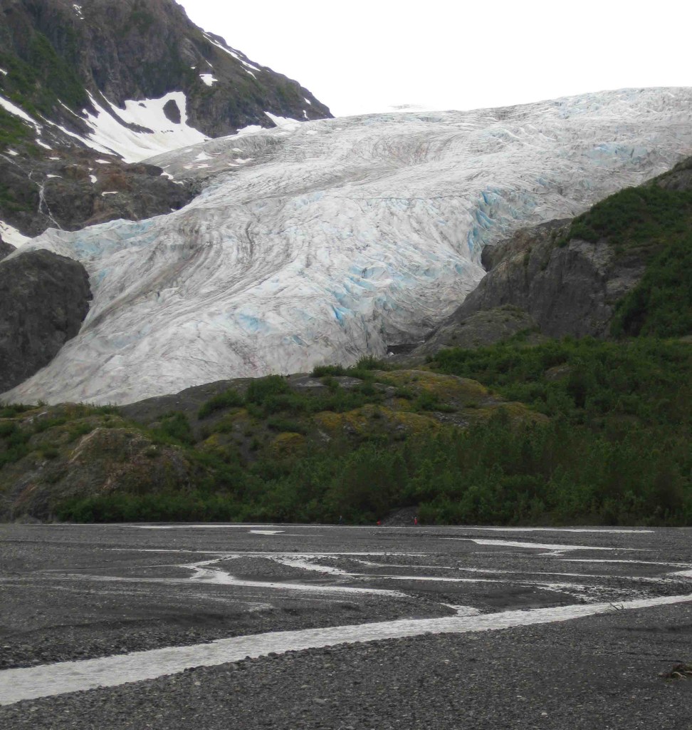
Our favorite of the eight National Parks in Alaska is Kenai Fjords.  It is a great place to witness the thunderous calving of a tidewater glacier, an experience that should be on everyone’s bucket list.  Boat tours leave from the port of Seward and travel up beautiful Resurrection Bay, a long saltwater-filled valley (or fjord).  The town was named in 1903 for the Secretary of State who purchased the Alaska Territory from Russia in 1867 for less than two cents per acre, a move then known as “Seward’s Folly.”  Exit Glacier is the only portion of the park accessible by road and is worth the side trip. 

Know someone who loves National Parks? Gift them our travel guide A Park to Yourself: Finding Solitude in America’s 63 National Parks. 
Highlights

Exit Glacier, boat tours, tidewater glaciers, marine wildlife

Must-Do Activity

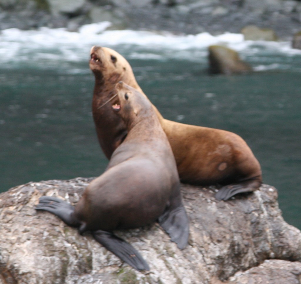
A tour boat is the easiest way to get up close to the variety of marine mammals and seabirds, but hardier souls can kayak the silty blue waters of Resurrection Bay.  Along the route to actively calving Aialik Glacier, you will see an abundance of wildlife: orcas, humpback whales, sea otters, sea lions, bald eagles, puffins, cormorants, and so much more.  Some tour boats have a National Park Service ranger on board to narrate, answer questions, and help kids earn Junior Ranger badges.  Tour boats get you close to the action to witness a tidewater glacier calving into the ocean.  These glaciers are one of 32 arms of the massive Harding Ice Field.

Best Trail

It is a short and worthwhile hike from the parking lot to the face of the rapidly receding Exit Glacier; black bears are common in the area, so keep an eye out for them.  You can continue hiking the steep 3.7-mile one-way trail up to 3,500 feet to view the expansive Harding Ice Field, but that requires at least four hours, serious endurance, and gear for the winter conditions that persist year round at that elevation.

Instagram-worthy Photo

Bundle up as it gets chilly when you pull up close to the actively calving Aialik Glacier.  You will be tempted to try capturing it all on your camera, but take some time to experience the action with your eyes, not through a viewfinder. 

Peak Season

Summer

Hours

https://www.nps.gov/kefj/planyourvisit/hours.htm

Fees

None at Exit Glacier; boat tours cost about $200 per person

Road Conditions

The roads to Exit Glacier and Seward, Alaska are paved.

Camping

Two public-use cabins are available for rent in the summer and only accessible by water.  A free 12-site, walk-in tent campground is available at Exit Glacier, plus a winter-use cabin.  There are multiple RV parks in Seward, Alaska, a beautiful place to spend a few days fishing and visiting the Alaska SeaLife Center (recommended to do before your boat tour of Kenai Fjords National Park).

Related Sites

Glacier Bay National Park and Preserve (Alaska)

Lake Clark National Park and Preserve (Alaska)

Wrangell-St. Elias National Park and Preserve (Alaska)
This design we created to celebrate Kenai Fjords National Park is available on a variety of products at Cafe Press and Amazon.

Explore More – Who is Rockwell Kent and what is his connection with Resurrection Bay (hint: check out our Top 10 list of Alaska non-fiction books)?

Know someone who loves National Parks? Gift them our travel guide A Park to Yourself: Finding Solitude in America’s 63 National Parks. 
Mount Rushmore National Memorial

Overview

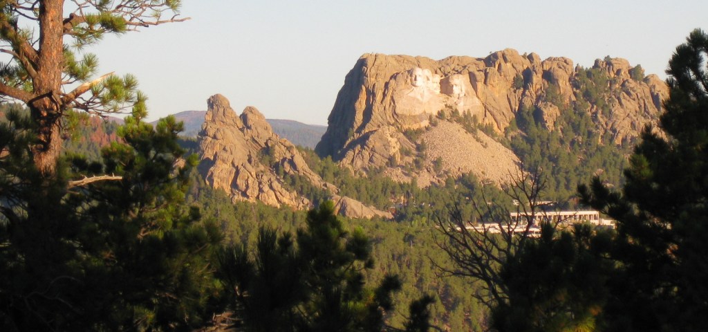
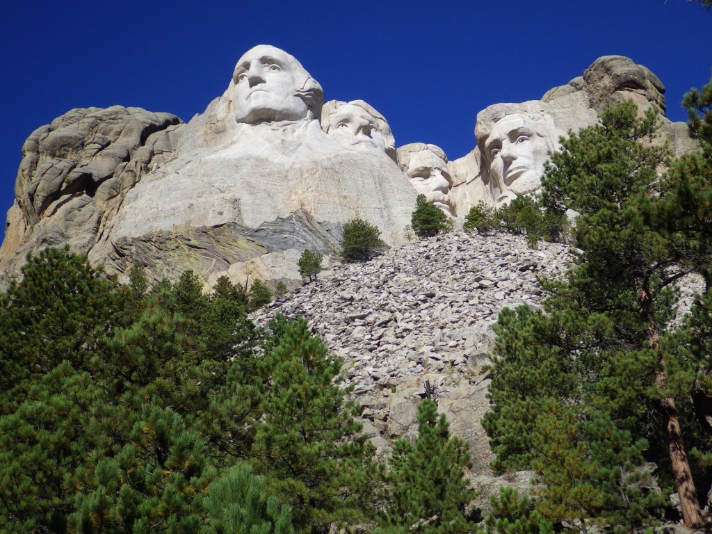
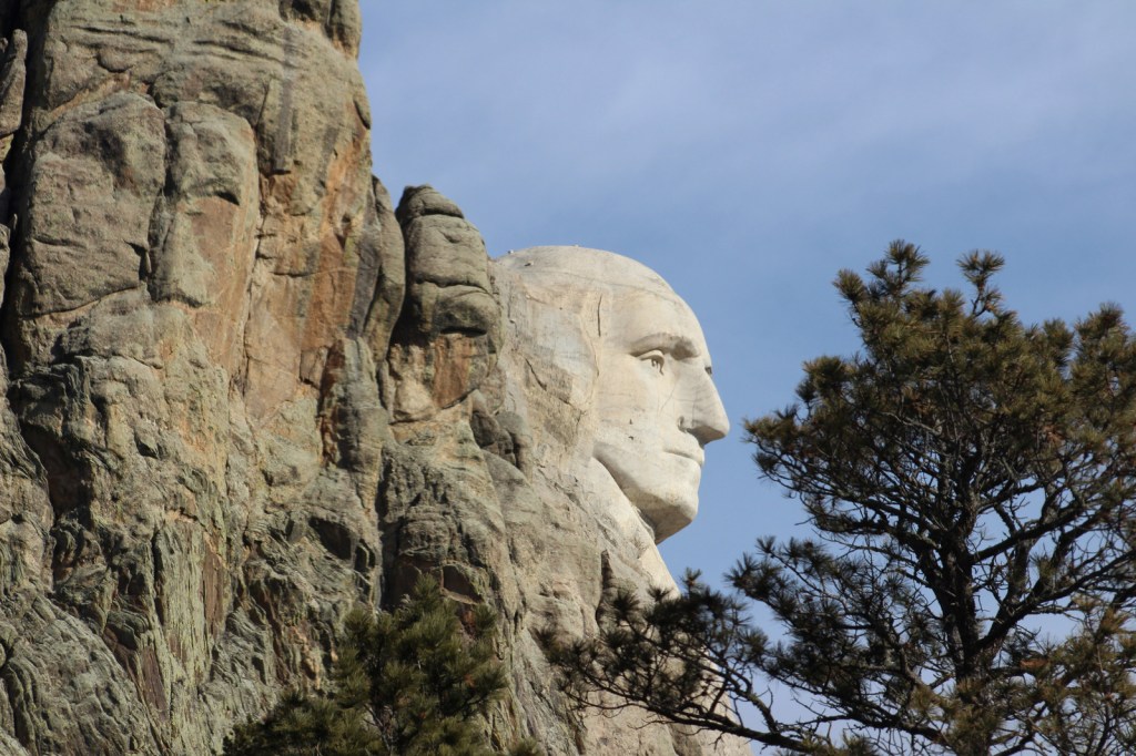
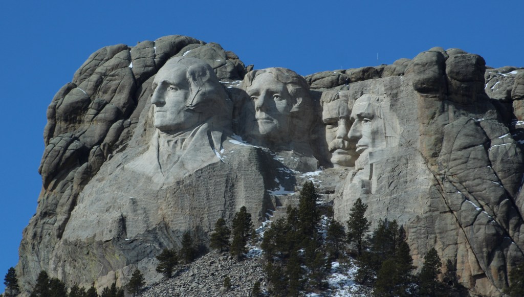
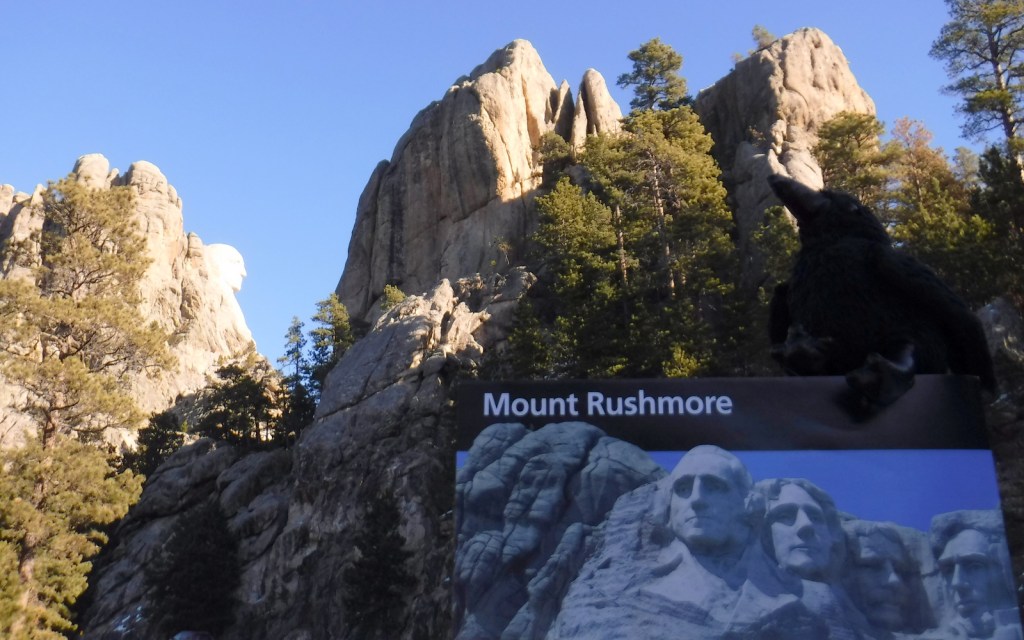
Completed in 1941 after fifteen years of work, this granite outcrop had the 60-foot tall faces of four prominent American presidents blasted and chiseled into its façade.  The mountain is named for a New York attorney who visited the Black Hills to inspect mining claims in 1885.  Sculptor Gutzon Borglum originally carved Thomas Jefferson over George Washington’s right shoulder, but the granite there had flaws and the figure was blasted away.

Highlights

Grand View Terrace, Avenue of Flags, Sculptor’s Studio, Evening Lighting Ceremony

Must-Do Activity

Mount Rushmore National Memorial is inspiring to see during the day, but for the full effect do not miss the Evening Lighting Ceremony offered May to September.  Held in the outdoor amphitheater, this audiovisual presentation is one of the most patriotic events held at a National Park Service (NPS) site. 

Best Trail

Leaving from the Grand View Terrace, the 0.6-mile Presidential Trail forms a loop with 422 stairs that gets closer to the carvings for a unique perspective and access to the Sculptor’s Studio.

Instagram-worthy Photo

If you keep a sharp eye, you may spot mountain goats around the park.  Not native to South Dakota, they were introduced to the Black Hills in 1924 and have successfully adapted to their new environment. 

Peak Season

Summer, especially 4th of July weekend

Hours

https://www.nps.gov/moru/planyourvisit/hours.htm

Fees

No admission fee, but there is a $10 parking fee (America the Beautiful Pass not accepted)

Road Conditions

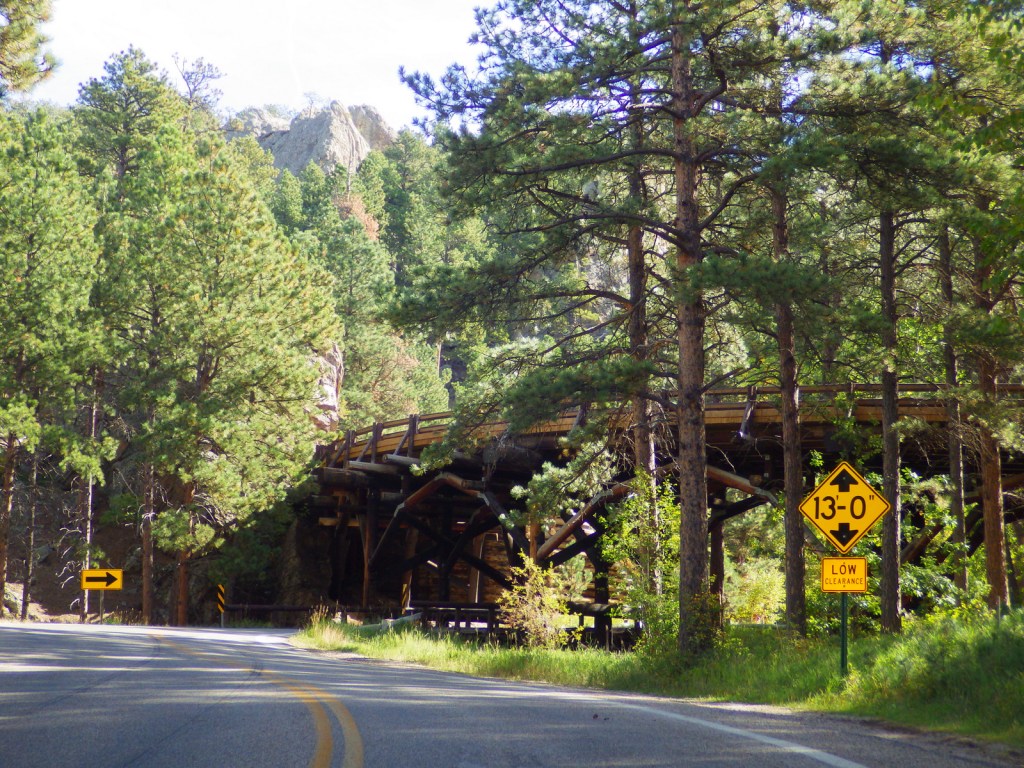
All access roads are paved, but there are size limits on the Norbeck Highway due to tunnels.
Camping

There are campgrounds in Wind Cave National Park, Custer State Park, and Black Hills National Forest.
Related Sites

Jewel Cave National Monument (South Dakota)

Minuteman Missile National Historic Site (South Dakota)

Badlands National Park (South Dakota)

Explore More – In the 1920s, who was the most controversial inclusion of the four presidents featured: Washington, Jefferson, Lincoln, or Roosevelt?

Natchez Trace National Scenic Trail

Natchez Trace National Scenic Trail

Mississippi-Alabama-Tennessee

Managed by National Park Service

Established 1983

67 miles

Website: nps.gov/natt

Overview

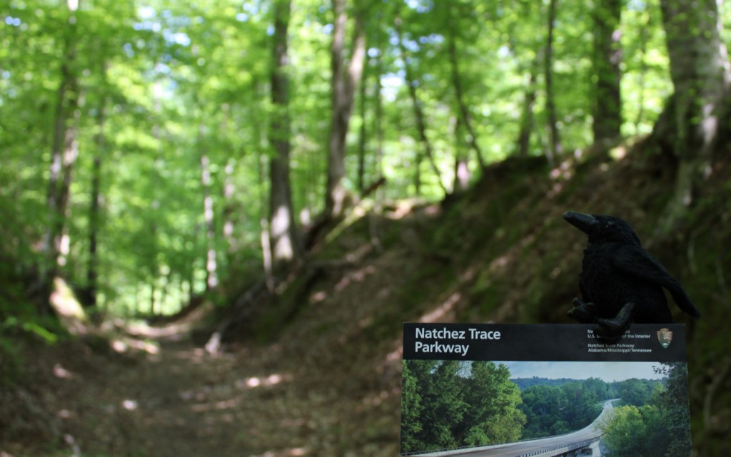
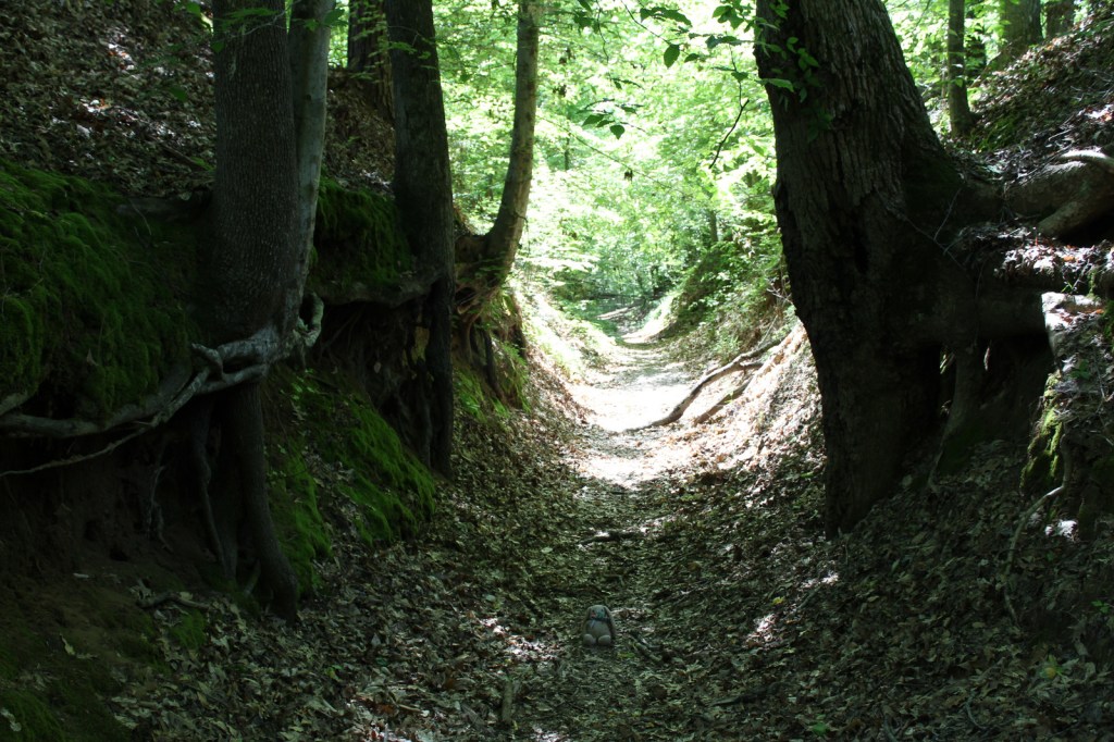
Not as well-known as the Natchez Trace Parkway it parallels, Natchez Trace National Scenic Trail is one of only six National Scenic Trails officially managed by the National Park Service (NPS).  The trace (or trail) started as an American Indian footpath.  Some of the mound builder sites protected here were inhabited when Hernando de Soto led the first Europeans into this area in 1540.  The Natchez Trace was heavily used in the 1800s by “Kaintuck” flatboatmen returning from New Orleans who left the Mississippi River from Natchez, Mississippi and continued on foot north to Nashville, Tennessee.  Today you can follow portions of the “sunken” trail worn down by travelers for centuries.

Highlights

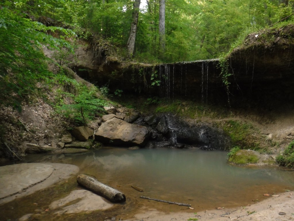
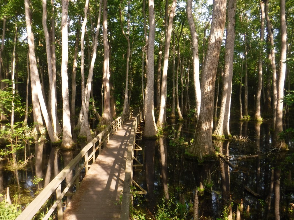
Rocky Springs, Owens Creek Waterfall, Tupelo-Baldcypress Swamp, Grindstone Ford, Witch Dance Horse Trail, War of 1812 Memorial

Must-Do Activity

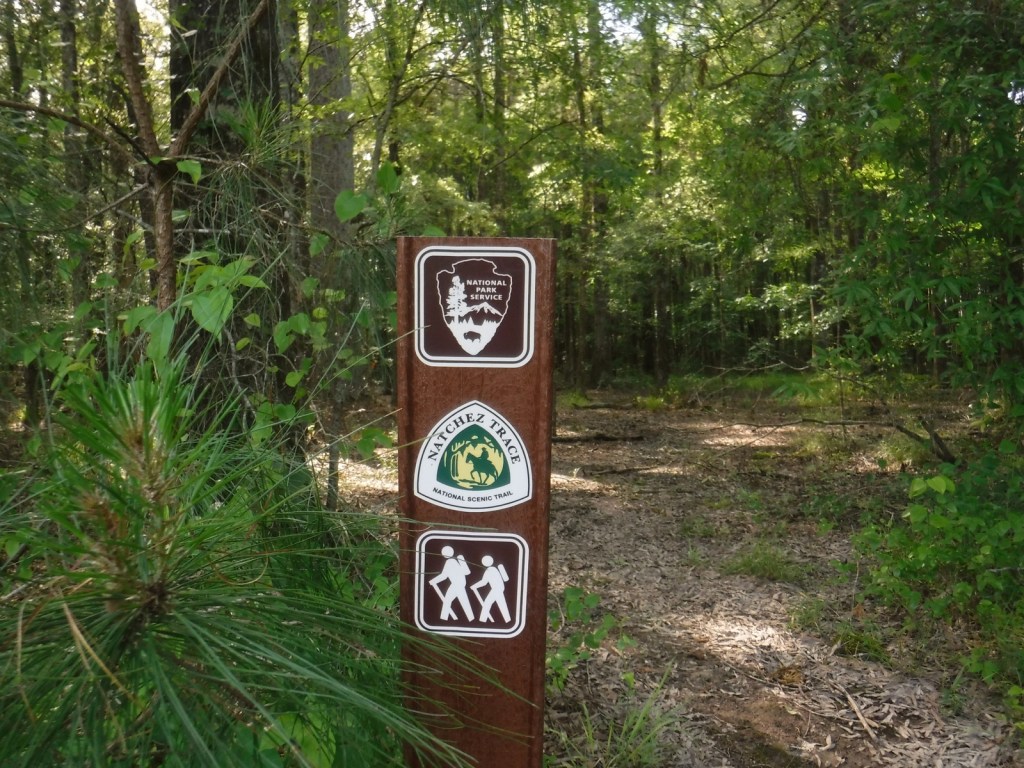
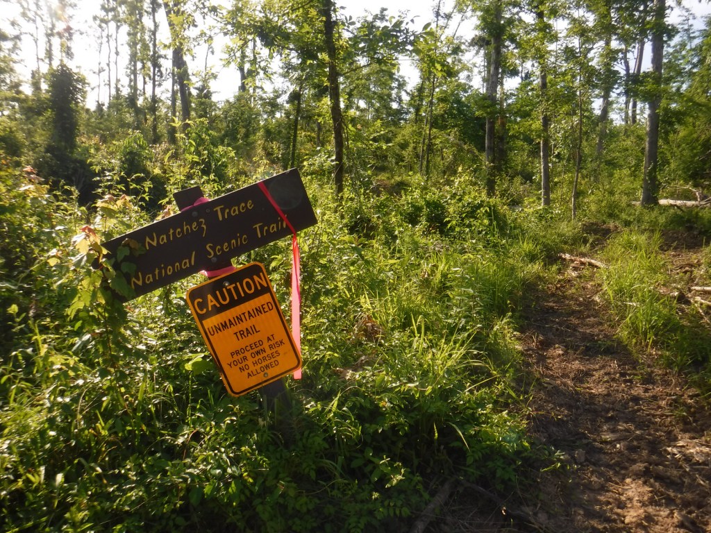
The Natchez Trace National Scenic Trail does not follow the entire 444-mile parkway, but exists in five segments totaling 67 miles in length.  The two longest sections are near Leipers Fork, Tennessee (Miles 408-427) and north of Jackson, Mississippi (Miles 108-130).  There are many other places to go hiking along the Natchez Trace Parkway, including one of our favorite spots, Tishomingo State Park (Mile 304) in Mississippi.  Near Tupelo, the Parkway Visitor Center at Mile 266 is another must-do stop to learn the history of the trace.

Best Trail

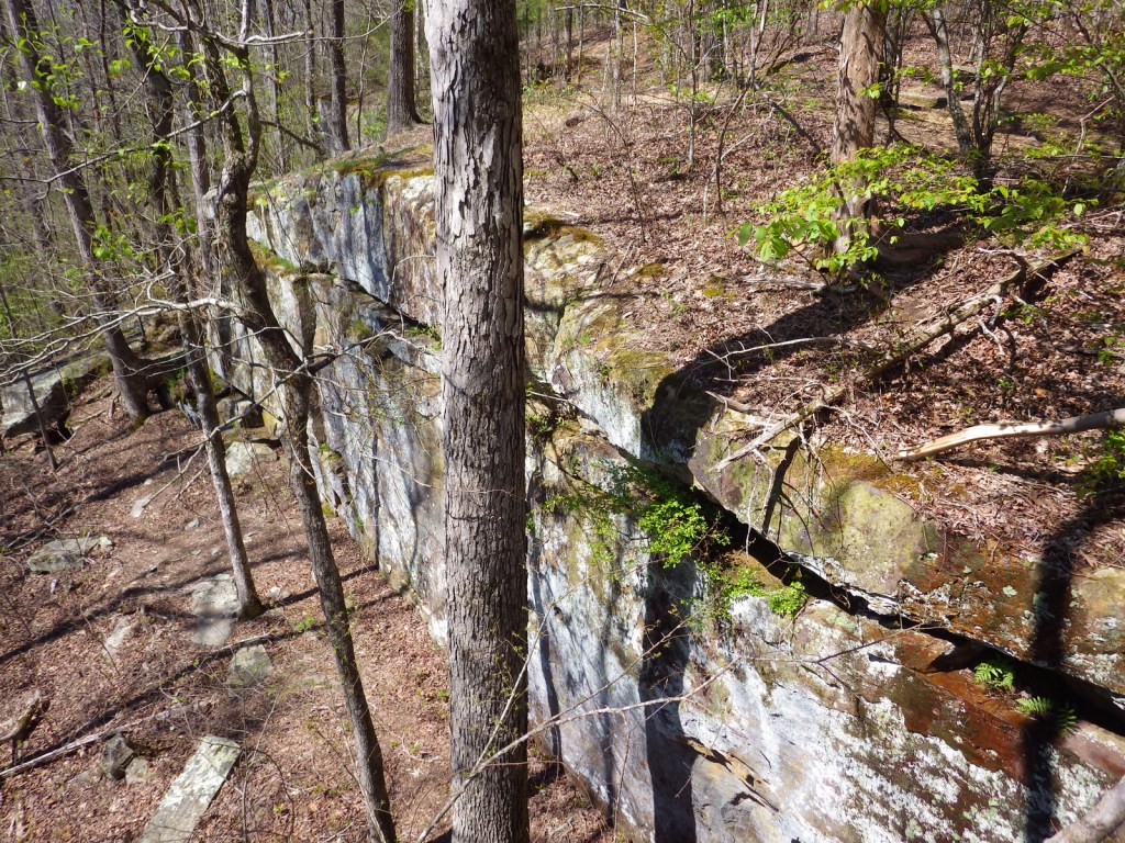
There are eight miles of the original trail around the Rocky Springs Campground near Mile 58 in Mississippi, which provides access to Owens Creek Waterfall and a historic town site.

Instagram-worthy Photo

In early April the dogwood trees bloom along the Natchez Trace Parkway.  At Mile 275 is Dogwood Valley, which also has a short section of “sunken” historic trail.

Peak Season

Spring and fall

Hours

https://www.nps.gov/natt/planyourvisit/hours.htm

Fees

None

Road Conditions

The entire 444-mile Natchez Trace Parkway is paved from Natchez, Mississippi to Nashville, Tennessee, but not all trailheads are RV accessible.

Camping

There are three NPS campgrounds along the Natchez Trace Parkway, as well as those in sites like Mississippi’s Tishomingo State Park.  The three NPS campgrounds are free with running water, plus there are also five bike-only campsites along the route.

Related Sites

Tupelo National Battlefield (Mississippi)

Natchez National Historical Park (Mississippi)

Natchez Trace Parkway (Mississippi-Alabama-Tennessee)

Vicksburg National Military Park (Mississippi)

Nearest National Park

Hot Springs

Explore More – The Natchez Trace Parkway officially joined the NPS system in 1938, but when was construction of the road finally completed?

Fire Island National Seashore

Overview

Established in 1964, Fire Island National Seashore stretches across 26 miles of the 32-mile long barrier island off the southern coast of New York’s Long Island.  It encompasses 17 communities that were present when it was created, but otherwise it is mostly roadless and wild.  Backcountry camping is allowed in the Otis Pike Wilderness (1,363 acres), the only federally designated Wilderness area in the state of New York.

Highlights

Fire Island Lighthouse, William Floyd Estate, Sunken Forest Trail, Otis Pike Wilderness

Must-Do Activity

About 2.2-million visitors come to Fire Island annually, but not necessarily to the National Seashore, which is primarily accessed by ferry boats from Long Island.  A short walk down the coast can usually escape the crowds, but be aware that the area around Fire Island Lighthouse is an unofficial nude beach.  Visitors can also tour the home and grounds at William Floyd Estate, a 613-acre historical site on Long Island once home to a signer of the Declaration of Independence.

Best Trail

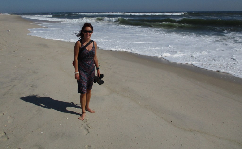
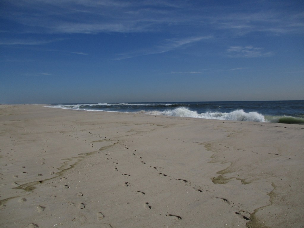
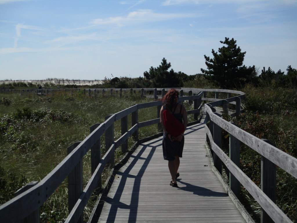
There are nature trails at Fire Island Lighthouse, Sailors Haven, Watch Hill, and Fire Island Wilderness Visitor Centers, plus the beach is wide and good for walking.

Instagram-worthy Photo

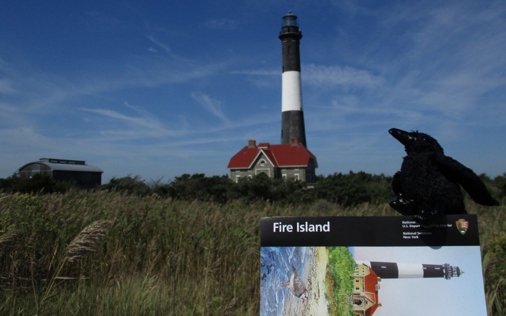
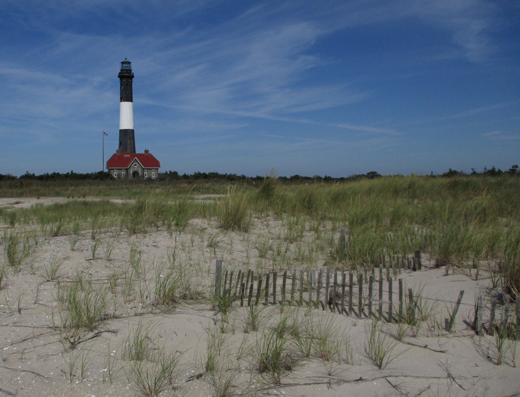
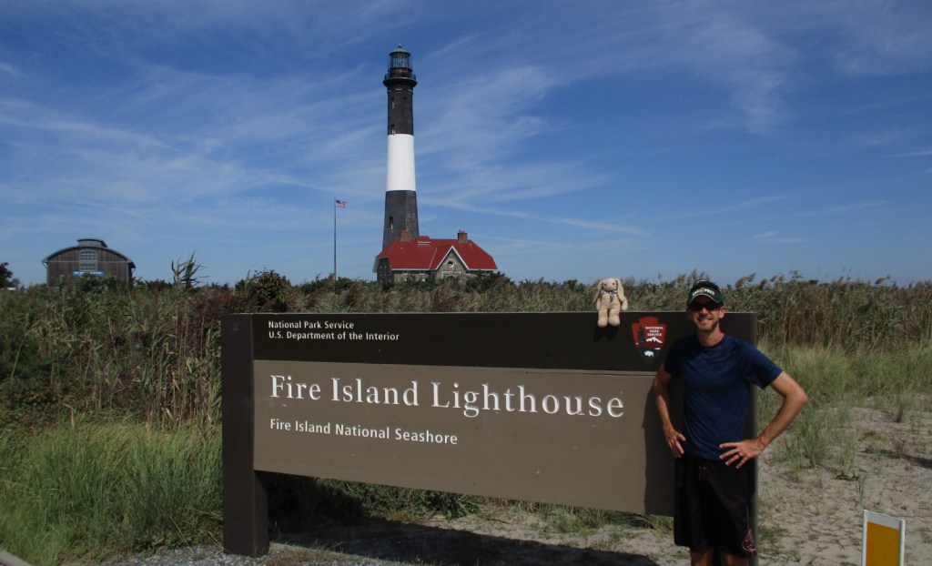
The 167-foot tall Fire Island Lighthouse was built in 1858.  It is run by a nonprofit organization that offers a free museum inside, but charges a fee to climb to the top.

Peak Season

Summer

Hours

https://www.nps.gov/fiis/planyourvisit/hours.htm

Fees

None, except for ferries and to climb to the top of Fire Island Lighthouse

Road Conditions

There are no roads in the National Seashore, but you can drive to the western and eastern edges in Robert Moses State Park and Smith Point County Park, respectively.

Camping

Only reachable by boat, Watch Hill has a campground with restrooms and provides access to backcountry camping in Otis Pike Wilderness (permit required).

Related Sites

Gateway National Recreation Area (New York-New Jersey)

Sagamore Hill National Historic Site (New York)

Cape Cod National Seashore (Massachusetts)

Explore More – How old are the American holly trees that grow along the 1.5-mile Sunken Forest boardwalk trail at Sailors Haven?

Fort Davis National Historic Site

Overview

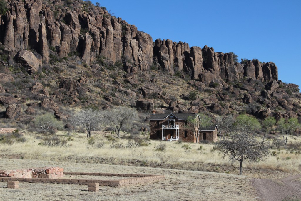
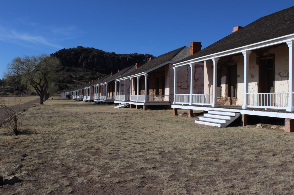
The base of the Davis Mountains is the wonderfully scenic setting for Fort Davis National Historic Site, originally active from 1854 to 1891.  It was manned by U.S. troops except after Texas seceded during the Civil War, which is ironic given that it was named for Jefferson Davis.  Confederate forces obviously saw this as enough reason to occupy the remote frontier fort for a year.  The park preserves its 1867 layout, when the fort was rebuilt following five years of abandonment.

Highlights

Museum, film, historic buildings, Davis Mountains State Park

Must-Do Activity

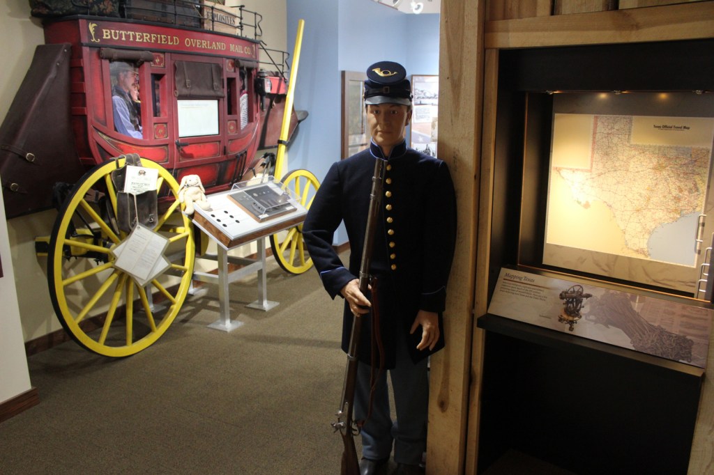
After the Civil War, Fort Davis became famous for posting African-American “Buffalo Soldiers.”  Maybe this is why they chose to cast 7-foot-2-inch tall Kareem Abdul-Jabbar as the cowboy hat-wearing narrator of the park’s introductory film.  That in-and-of-itself is worth the price of admission.  The dry Chihuahuan Desert air has preserved the 21 remaining buildings well.  Throughout the day, bugle calls on the loudspeaker will hearken you back to frontier days. 

Best Trail

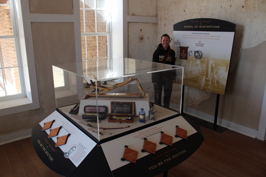
A self-guided trail leads around the 523-acre property and enters six buildings: the commanding officer’s quarters, lieutenants’ quarters, barracks, commissary, hospital, and officers’ servants’ quarters.  There are other trails here and in neighboring Davis Mountains State Park, but be aware that the fort sits at 4,900 feet of elevation.

Instagram-worthy Photo

The morning we visited, mule deer were feeding on the lawn in front of the restored buildings.

Peak Season

Summer

Hours

https://www.nps.gov/foda/planyourvisit/hours.htm

Fees

$10 per person or America the Beautiful pass

Road Conditions

Access roads paved

Camping

If you enjoy spending time at this beautiful spot, consider camping in adjacent Davis Mountains State Park, which offers good stargazing.

Related Sites

Guadalupe Mountains National Park (Texas)

Carlsbad Caverns National Park (New Mexico)

Big Bend National Park (Texas)

Explore More – Who was the first black graduate of West Point military academy briefly stationed here (before a controversial court-martial later overturned in 1976)?