Tag Archives: tour

Steamtown National Historic Site

Overview

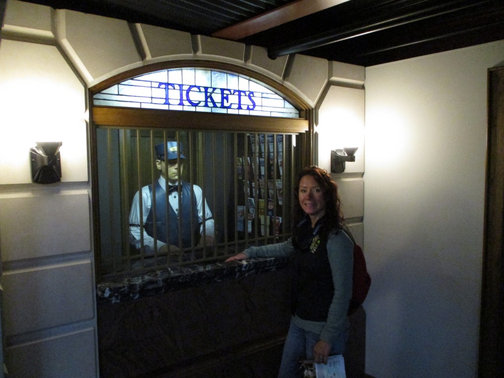
In downtown Scranton, Pennsylvania, 52 acres have been turned into a dreamscape for railroad enthusiasts by the National Park Service (NPS).  Specifically, the site is dedicated to steam engines, which truly got started in 1830 with the South Carolina Railroad and lasted more than century before being fully replaced by diesel locomotives.  A unique opportunity at this park is the chance to take one of several steam train excursions (additional fee) that leave from the site.

Highlights

Museum, film, turntable, tours, steam train excursions

Must-Do Activity

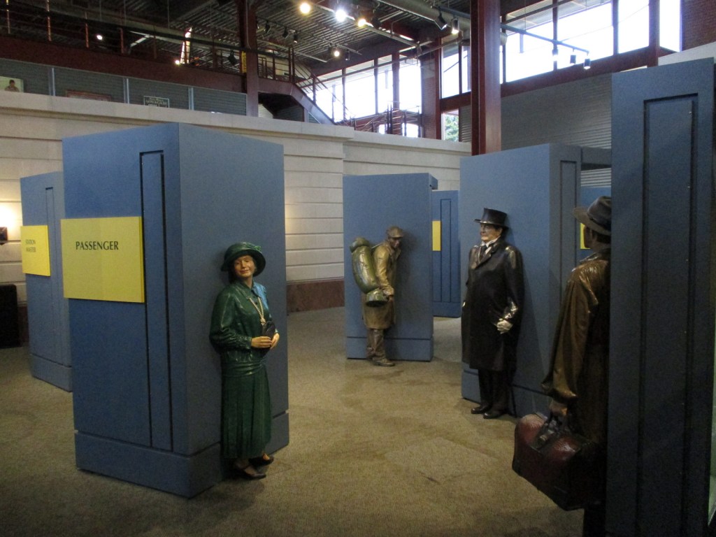
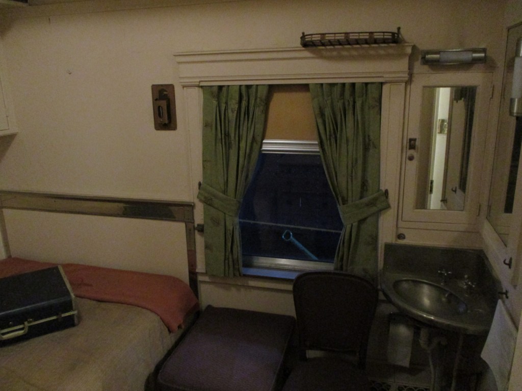
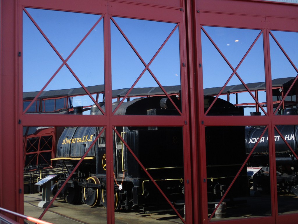
Steamtown National Historic Site is located on the grounds of the Delaware, Lackawanna & Western Railroad, which relied on the region’s cleaner-burning anthracite coal.  The park includes a theater, multiple museums, a 90-foot-diameter operating turntable, restoration shops, locomotives, and a collection of railroad cars.  A highlight is one of the few Union Pacific “Big Boys” built to haul freight trains through the mountains of Utah and Wyoming.  Guided tours are included with your admission fee, although there is enough to read and watch in the extensive museums to keep you busy all day long.

Best Trail

There is no trail, but you will get your daily steps if you tour the entire facility.

Instagram-worthy Photo

The turntable is surrounded on one half by the glass-fronted NPS visitor center and history museum, which makes for some cool photographs.

Peak Season

Summer

Hours

https://www.nps.gov/stea/planyourvisit/hours.htm

Fees

None

Road Conditions

All roads are paved and ample parking is available.

Camping

See our blog post on Delaware Water Gap National Recreation Area for a list of State Parks and State Forests with campgrounds in the area.

Related Sites

Allegheny Portage Railroad National Historic Site (Pennsylvania)

Upper Delaware Scenic and Recreational River (New York-Pennsylvania)

Cuyahoga Valley National Park (Ohio)

Explore More – What year was the park’s oldest locomotive built for the Chicago Union Transfer Railroad Company?

Keweenaw National Historical Park

Overview

The Keweenaw Peninsula juts north into Lake Superior from Michigan’s Upper Peninsula and is home to the richest copper ore (97% pure) on the planet.  American Indian artifacts made from this region’s copper have been found at several other National Park Service (NPS) sites, such as Georgia’s Ocmulgee Mounds National Historical Park and Ohio’s Hopewell Culture National Historical Park.  In the 1840s, immigrants representing 38 ethnic groups flooded this area to work as miners.  More recently, the NPS led a project to recreate historic buildings and archaeological sites within the digital world of Minecraft (click here for an article).

Highlights

Adventure Mine Tours, Quincy Mine, Delaware Copper Mine, downtown Calumet, Laurinium Mansion

Must-Do Activity

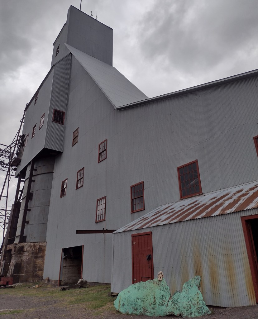
The NPS does not have much of a presence in this park, but rather relies on its partners to preserve the heritage sites.  We highly recommend the Miner’s Tour guided by the Adventure Mining Company in Greenland, Michigan.  In addition to getting a great history lesson, we rappelled down an 80-foot deep mine shaft and walked across a swinging bridge without handrails.  They also offer a less intense tour for all ages.

Best Trail

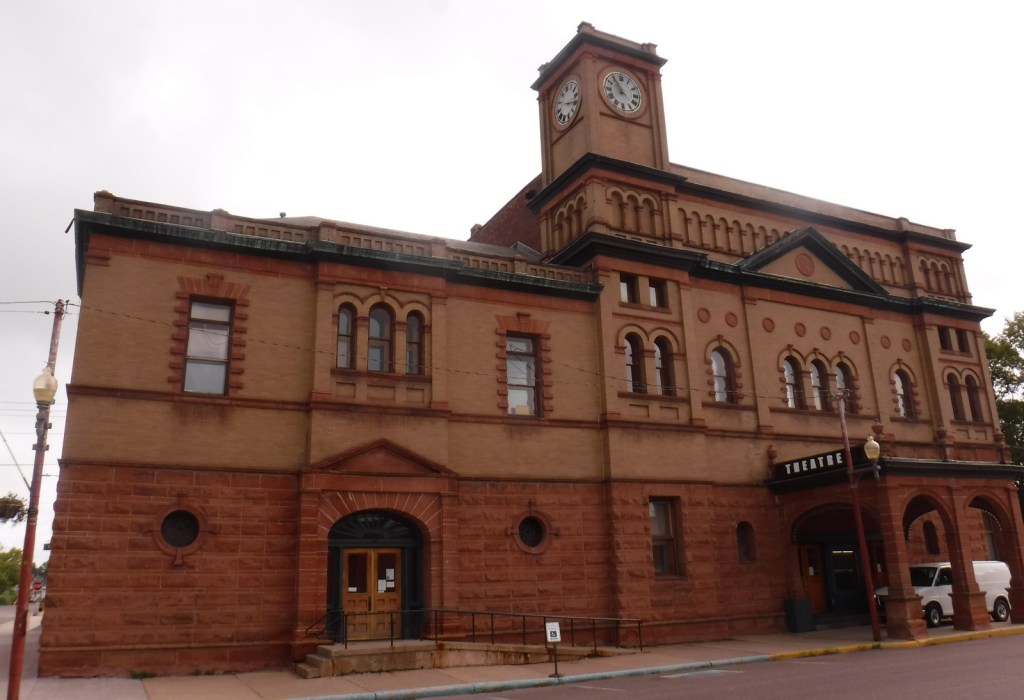
We walked the streets of Calumet, Michigan while doing our laundry across the street from the historic Calumet Theatre.  The NPS visitor center was closed, but we still got to see the Copper Country Firefighters History Museum and the Keweenaw Heritage Center inside St. Anne’s Church.  We also recommend a stop at the quirky vintage consignment store in the three-story Vertin Building built in 1885.

Instagram-worthy Photo

Quincy Mine is the most tourist-friendly part of Keweenaw National Historical Park offering a museum, tram ride, and underground mine tours.

Peak Season

Summer

Hours

https://www.nps.gov/kewe/planyourvisit/hours.htm

Fees

No NPS fees, but each heritage site charges its own admission with one of the cheapest being the $1 donation per person requested at the Copper Range Historical Museum in South Range, Michigan.

Road Conditions

Most roads are paved, with the exception of the short gravel road to the Adventure Mining Company.

Camping

Fort Wilkins and McLain State Parks both have campgrounds and dispersed campsites can be found in parts of Ottawa National Forest.  Backpacking is popular in Porcupine Mountains Wilderness State Park.

Related Sites

Pictured Rocks National Lakeshore (Michigan)

Isle Royale National Park (Michigan)

Effigy Mounds National Monument (Iowa)

Explore More – How deep was the shaft dug at Quincy Mine before it was closed in 1945 and allowed to fill with water?
Mississippi National River and Recreation Area

Overview

The 2,320-mile long Mississippi River is legendary in our nation and well-known worldwide.  Mississippi National River and Recreation Area (NRRA) covers 72 miles of the famous river’s course through Minnesota, from busy metropolitan sections in the Twin Cities to secluded stretches of water.  Along this section it changes from its shallow headwaters to a powerful force at its confluence with the St. Croix River.  Established in 1988, the National Park Service (NPS) owns only 35 acres of the 54,000 acres protected within the NRRA.

Highlights

St. Anthony Falls, Minnehaha Falls, Coldwater Spring, Indian Mounds Park, Mississippi Gorge Regional Park

Must-Do Activity

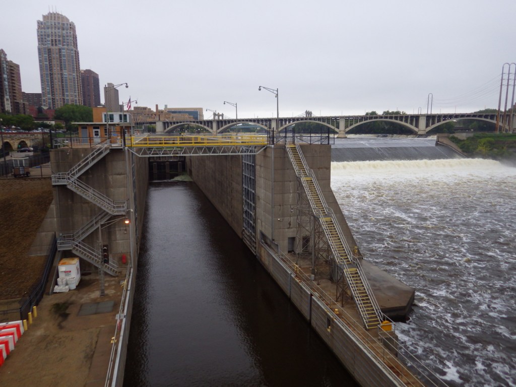
Near downtown Minneapolis is St. Anthony Falls, the only true waterfall on the Mississippi River’s entire length.  The falls powered gristmills and sawmills on both banks that drove the settlement of Minneapolis-St. Paul.  Opportunities for walking, biking, boating, fishing, cross-country skiing, and wildlife watching (especially at Minnesota Valley National Wildlife Refuge) abound along the river depending upon the season.

Best Trail

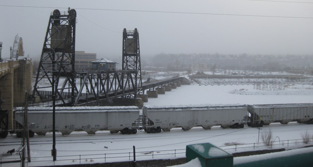
In winter, urban trails along the Mississippi River are very pretty under a layer of white snow, and it can be very quiet and peaceful.

Instagram-worthy Photo

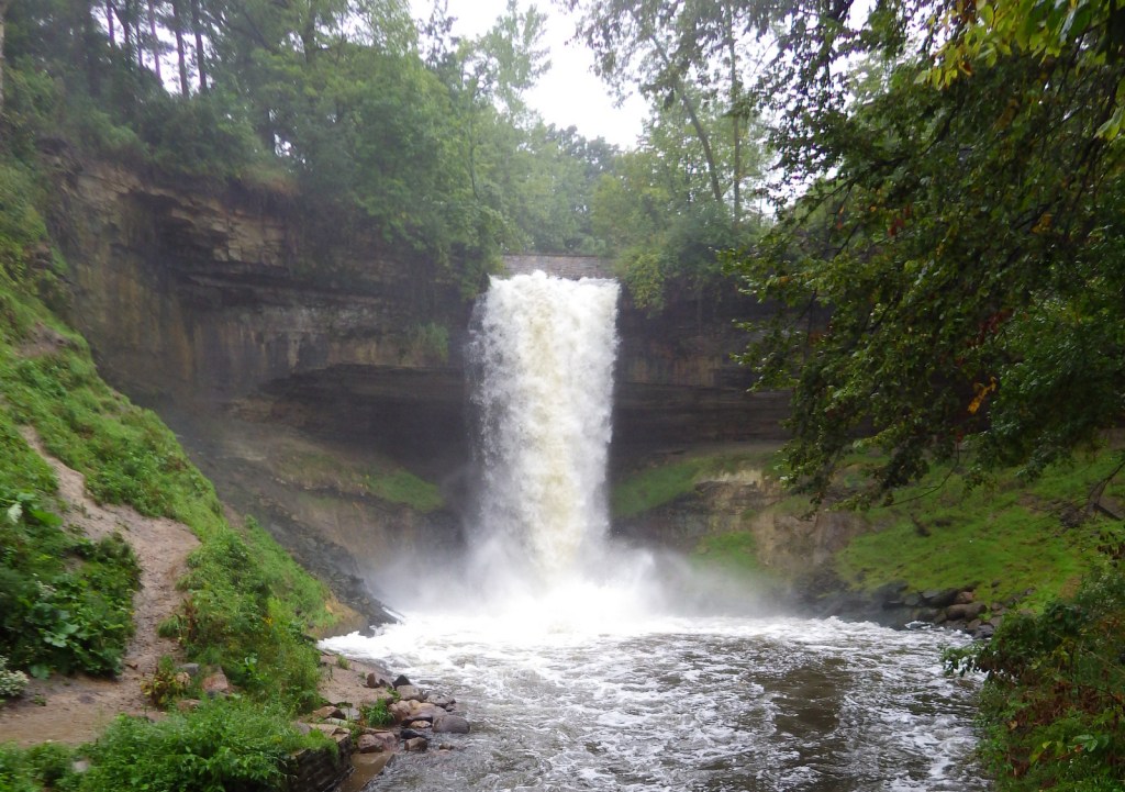
We enjoyed Minnehaha Regional Park where we found the 53-foot tall waterfall celebrated in Henry Wadsworth Longfellow’s Song of Hiawatha.

Peak Season

Summer

Hours

https://www.nps.gov/miss/planyourvisit/hours.htm

Fees

None

Road Conditions

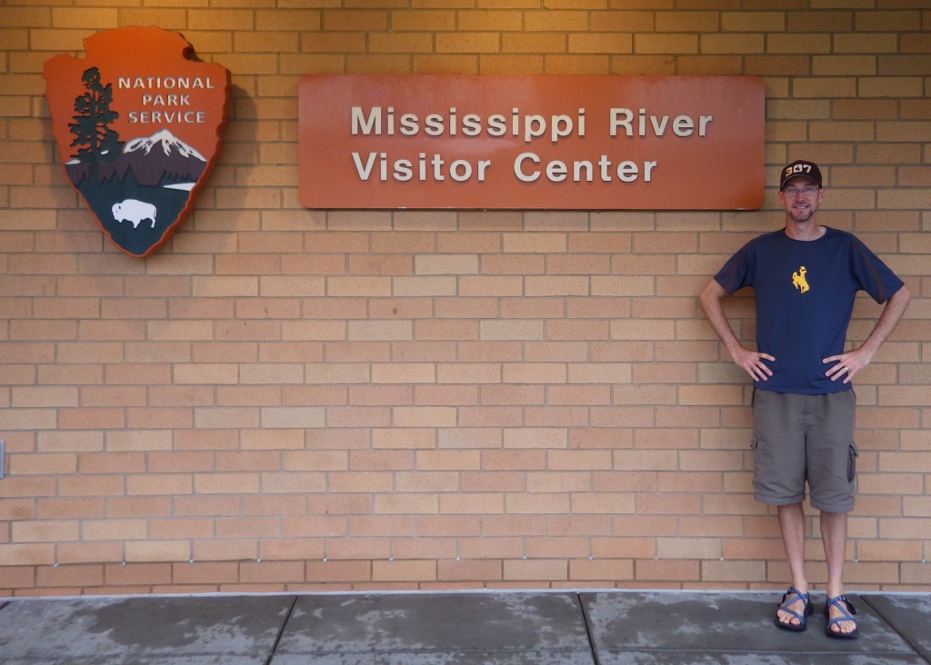
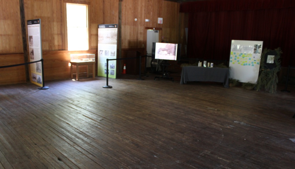
All roads paved, but there is no free parking available at the NPS visitor center located inside the lobby for the Science Museum of Minnesota.

Camping

There are no campgrounds managed by the National Park Service within the NRRA, however, there are many places to camp in the area.

Related Sites

Saint Croix National Scenic Riverway (Minnesota-Wisconsin)

Missouri National Recreational River (Nebraska-South Dakota)

Pipestone National Monument (Minnesota)

Explore More – What did the city of Minneapolis do to make sure Minnehaha Falls was flowing for President Lyndon B. Johnson’s visit during the 1964 drought?

Reconstruction Era National Historical Park

Overview

Like Freedom Riders National Monument in Alabama, President Obama established Reconstruction Era National Monument in 2017.  The park is located about an hour south of Charleston, South Carolina and is still under development, but they already have a Junior Ranger program.  The Reconstruction Era took place following the Civil War when the U.S. military helped freed African-American slaves integrate into southern society.  It was a complicated and mostly failed social experiment with long-lasting repercussions within American culture.

Highlights

Old Beaufort Firehouse, Robert Smalls Memorial, Camp Saxton, Penn Center, Brick Baptist Church

Must-Do Activity

We recommend the ranger-guided tour of Camp Saxton that leaves from the National Park Service (NPS) operated Porter’s Chapel, next to the skate park in Port Royal, South Carolina.  Following the loss of Fort Sumter, the Union Army occupied this area by late-1861, eventually training former slaves to serve as soldiers.  There is nothing left to see of the camp, but there are tabby walls from old Fort Frederick.  After a short walk, the park ranger will help you imagine what the scene would have looked like when the black soldiers were officially freed on Emancipation Day, January 1, 1863.

Best Trail

You can walk around the historic Penn Center (guided tours offered) where the NPS maintains a visitor center in Darrah Hall, a donated part of this National Historic Landmark that has a long history of African-American education. 

Instagram-worthy Photo

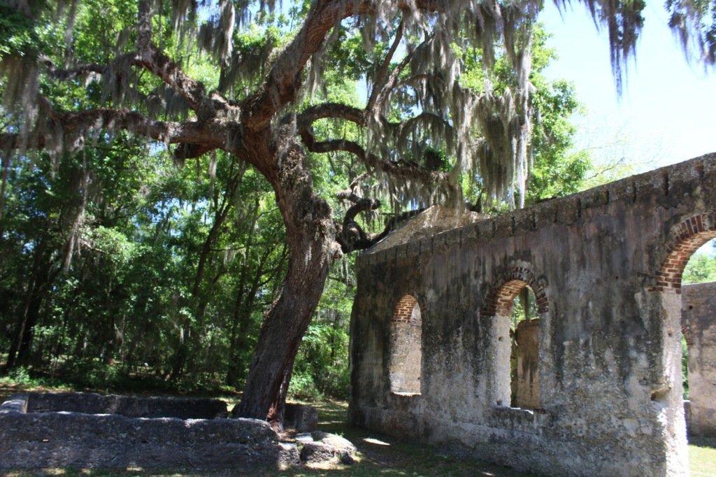
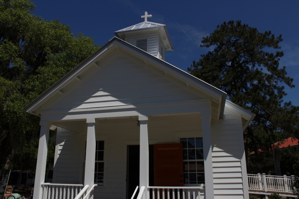
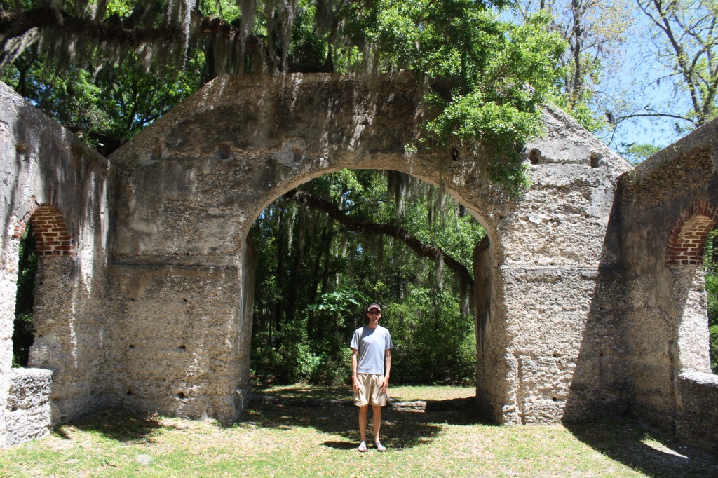
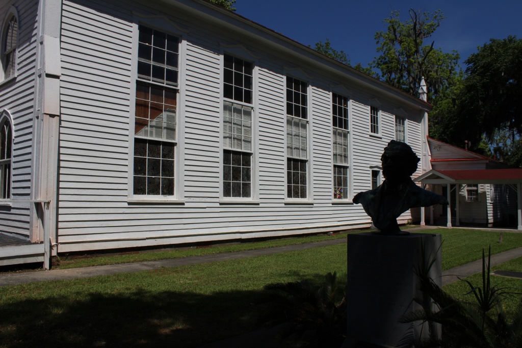
The Old Sheldon Church Ruins are not technically part of the park, but they are located just down the road from the Penn Center.  The Parrish Church of St. Helena outside Beaufort is also very photogenic.

Peak Season

Summer

Hours

https://www.nps.gov/reer/planyourvisit/hours.htm

Fees

None

Road Conditions

All major access roads are paved, although parking can be scarce around Port Royal during the farmers’ market.

Camping

Hunting Island and Edisto Beach State Parks both take camping reservations, so book early.  There are also campgrounds and backcountry campsites north of Charleston, South Carolina in Francis Marion National Forest.

Related Sites

Fort Sumter and Fort Moultrie National Historical Park (South Carolina)

Camp Nelson Heritage National Monument (Kentucky)

Fort Monroe National Monument (Virginia)

Explore More – How did future U.S. Congressman Robert Smalls escape slavery during the Civil War?

Canyon de Chelly National Monument

Canyon de Chelly National Monument

Arizona

Managed by National Park Service

Established 1931

83,840 acres

Website: nps.gov/cach

Overview

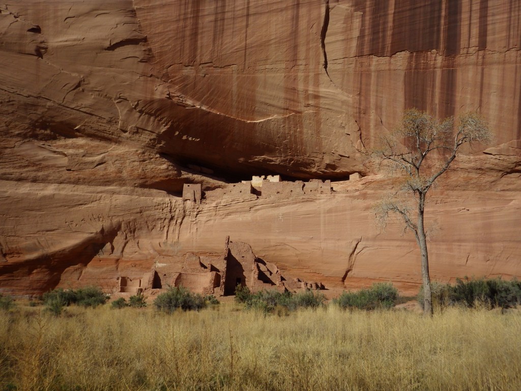
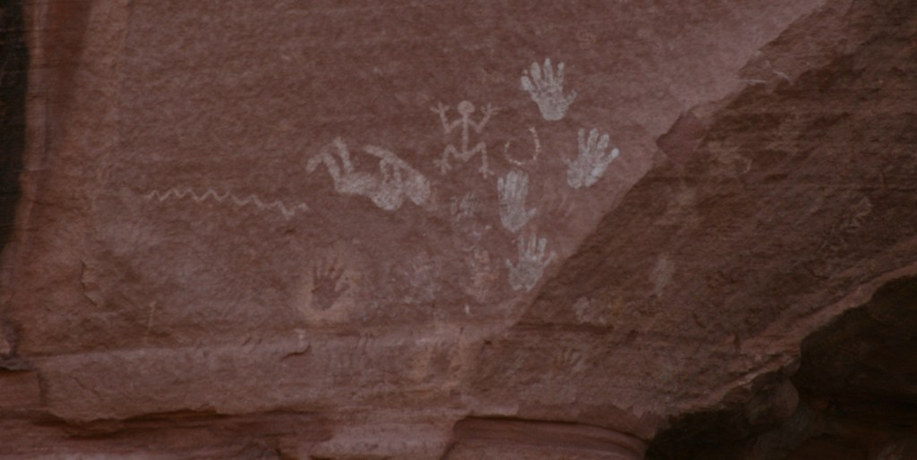
In the heart of the Navajo Nation in northeast Arizona lies Canyon de Chelly National Monument.  Humans have inhabited this area for 4,500 years, leaving behind numerous pictographs and the dramatic ruins of Ancestral Puebloan cliff dwellings.  The Navajo arrived in this region around AD1700 with sheep they gained from Spanish colonists which they utilized to weave intricate wool blankets.  Wars with the Utes, Spanish, Mexicans, and then U.S. government eventually led to their forced migration (“The Long Walk”) to Bosque Redondo in New Mexico around 1864.

Know someone who loves exploring new National Monuments? Gift them our book Monumental America: Your Guide to All 138 National Monuments that is available for sale on Amazon.com.

Highlights

Spider Rock Overlook, White House Ruin, guided vehicle tours, horseback tours

Must-Do Activity

Four years after being forced to the uninhabitable Bosque Redondo, the Navajo were granted the largest reservation in the country and families still inhabit Canyon de Chelly (pronounced “d’shay”) to this day.  The 84,000-acre National Monument is administered cooperatively with the National Park Service (NPS).  However, entrance into the canyon is limited to guided trips and one publicly accessible trail that drops 500 feet to White House Ruin.  Overlooks along the North and South Rim Drives (17 and 18 miles respectively) are free and open year-round, though.  It not only seems like everything runs on a different clock here, but, unlike the rest of Arizona (and now New Mexico), the Navajo Nation observes Daylight Savings Time, so is always an hour later in the summer months (the same time as New Mexico until the fall).

Best Trail

White House Ruin was inhabited AD1060-1275 and is named for the white plaster used to coat the wall in the upper dwelling.  The 2.5-mile roundtrip White House Trail drops down the canyon wall and cuts through a tunnel.

Instagram-worthy Photo

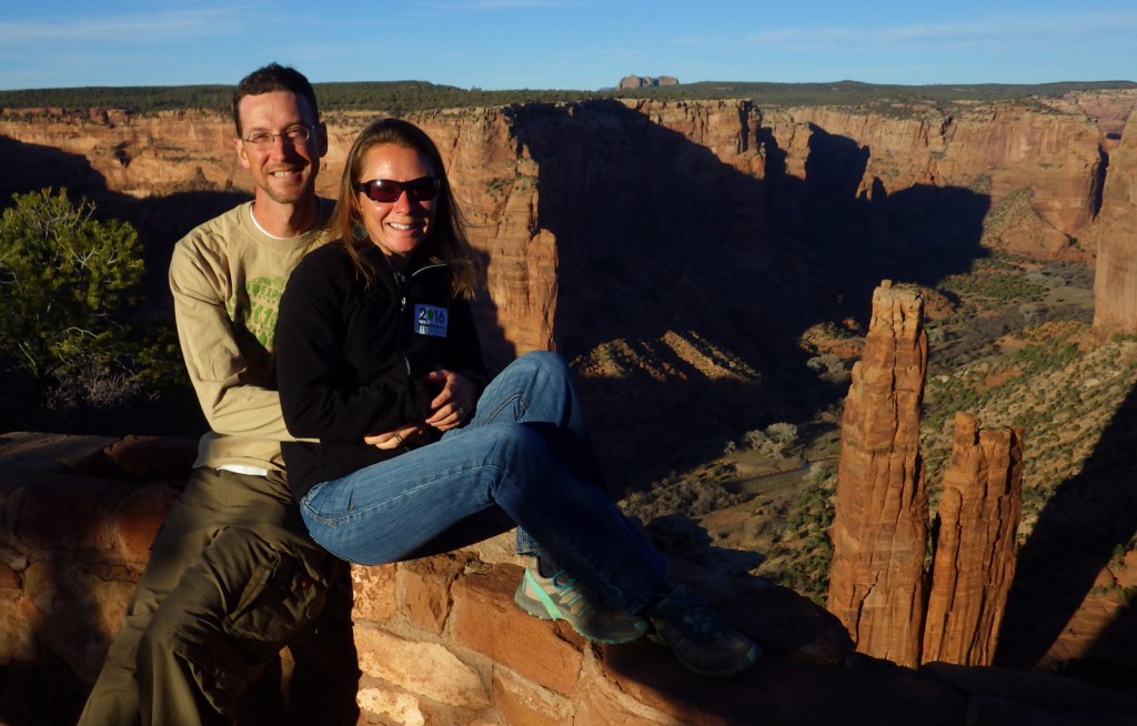
At the end of South Rim Drive is 800-foot tall Spider Rock, a great spot to watch the sun set, which is an ideal time to photograph the canyon’s red sandstone walls.

Peak Season

Summer

Hours

https://www.nps.gov/cach/planyourvisit/hours.htm

Note that there is typically a time difference because Arizona and New Mexico do not observe Daylight Savings Time.

Fees

There is no entrance fee for the North and South Rim Drives, but guided tours into the canyon do charge admission.

Road Conditions

All roads open to the public are paved, but guided tours can be very bumpy since they use the canyon bottom as a road.

Camping

The NPS runs Cottonwood Campground with 96 spaces (and running water in the summer) in a grove of Fremont cottonwood trees that turn yellow in the late autumn.  Guided camping trips in the canyon are also available.

Related Sites

Grand Canyon National Park (Arizona)

Navajo National Monument (Arizona)

Hubbell Trading Post National Historic Site (Arizona)

Explore More – How many millions of years ago did sand dunes turn into Canyon de Chelly’s red sandstone?

Learn more about the other 137 National Monuments in our book Monumental America: Your Guide to All 138 National Monuments