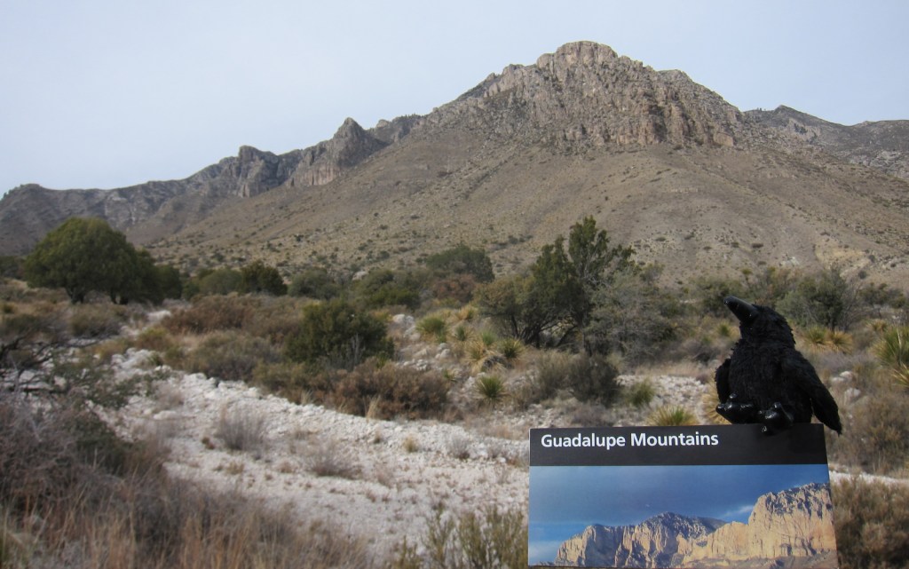
Overview
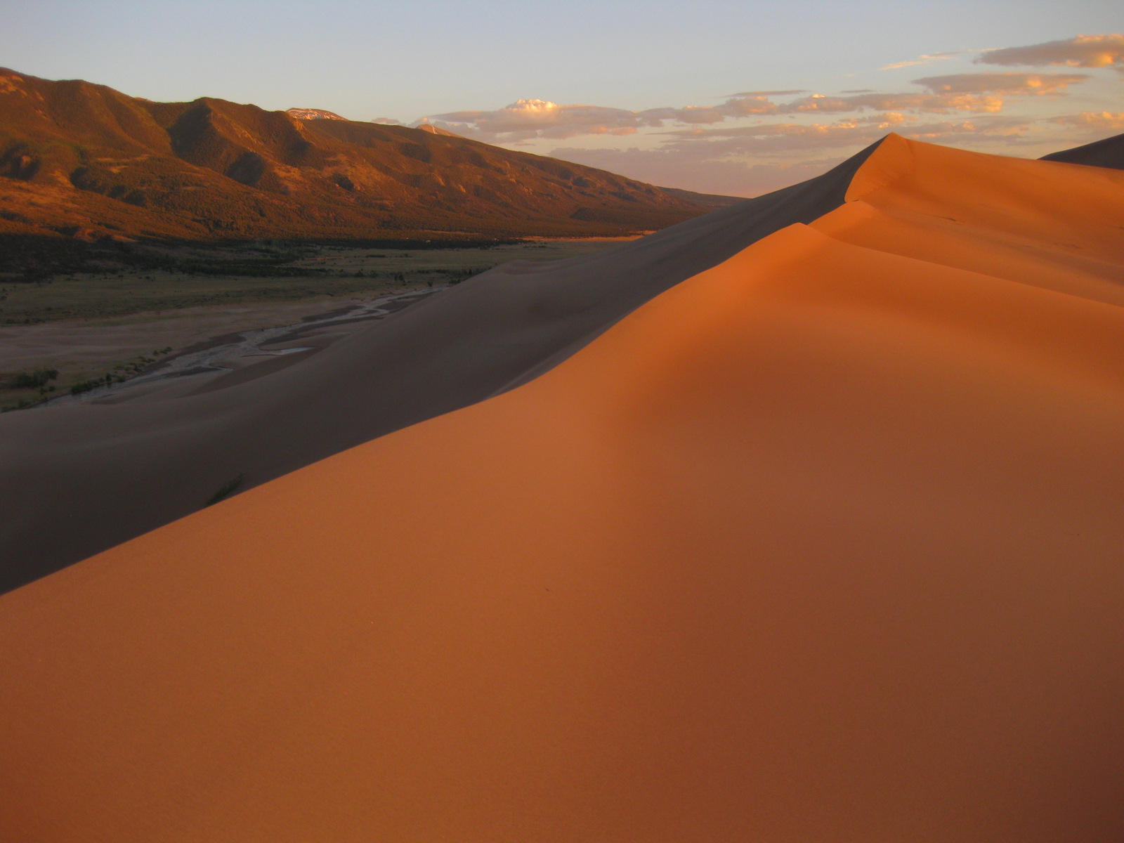
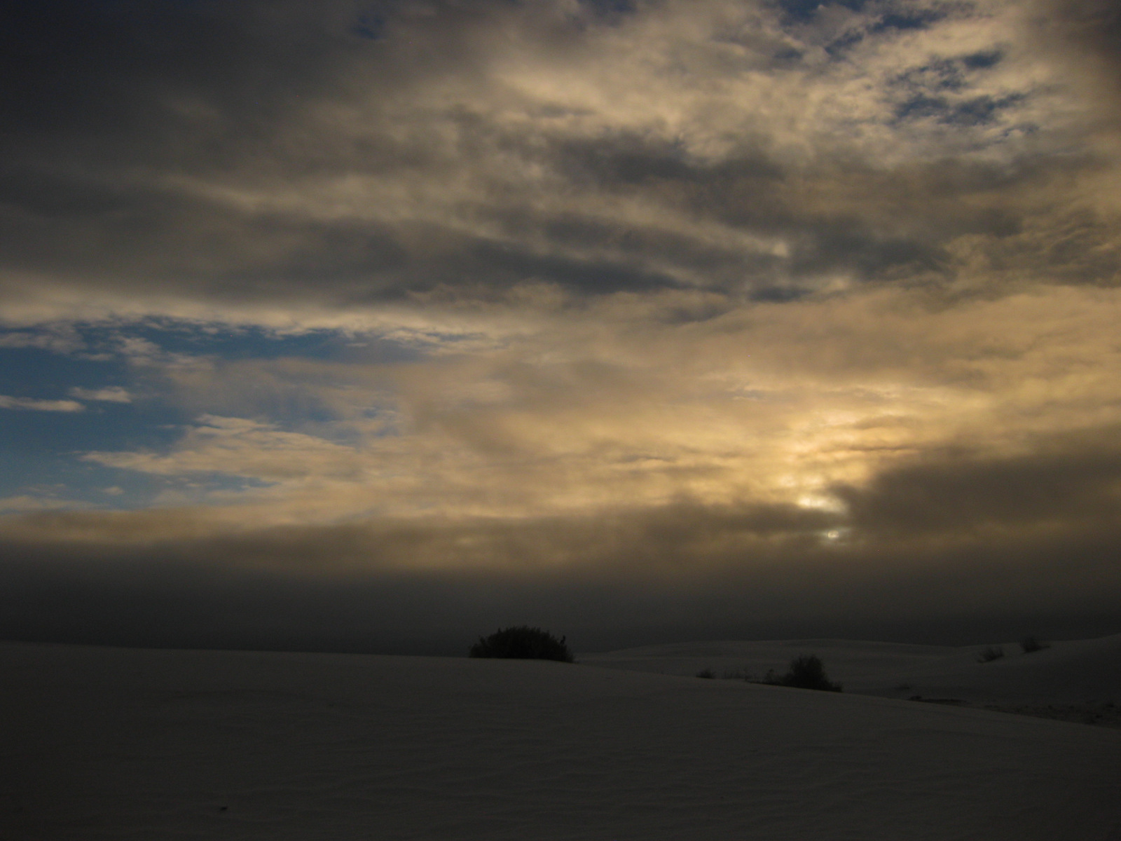
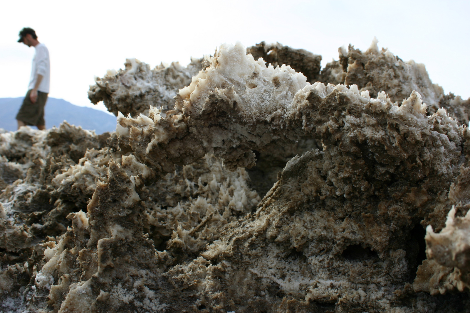
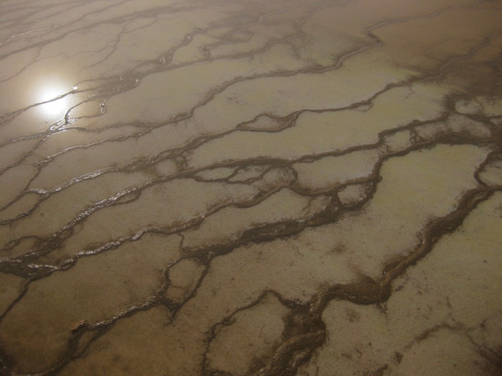
Since there are no campgrounds at Carlsbad Caverns National Park in New Mexico, many people stay at Guadalupe Mountains National Park just across the state border. The park contains the highest point in Texas at 8,749 feet, so snow is not unheard of here. One night when we stayed there in December, we awoke to an inch of snow. It always looks like it just snowed at the Salt Basin Dunes.
Highlights
McKittrick Canyon, Pinery Station, Guadalupe Peak, Salt Basin Dunes, Dog Canyon
Must-Do Activity
The Chihuahuan Desert is home to many unique plant species,so start with the Pinery Trail behind the visitor center and learn to spot the differences between lechuguilla, sotol, yucca, and the many species of cacti.
Best Trail
Guadalupe Peak is the highest point in Texas at 8,749 feet and the steep trail to its summit from Pine Springs Campground crosses through several ecosystems providing wonderful views of El Capitan and the surrounding landscape.
Instagram-worthy Photo
Autumn is a great time to visit to catch the vibrant red leaves of bigtooth maple trees. Find them by hiking from Pine Springs Campground on Devil’s Hall Trail or further north through McKittrick Canyon to secluded Pratt Cabin, built in the 1920s.

Peak Season
Summer, though wildfires can shut down large portions of the park.
Hours
https://www.nps.gov/gumo/planyourvisit/hours.htm
Fees
$5 per person or America The Beautiful pass
Road Conditions
Roads are paved, including the 60 mile drive to Dog Canyon at the north end of the park, except the last 7.5 miles to Salt Basin Dunes (good dirt road) and Williams Ranch (4×4 road).
Camping
Pine Springs Campground and remote Dog Canyon Campground both have running water, but no RV hookups. Free backcountry permits provide camping opportunities at designated sites, though trails tend to be very steep and strenuous.
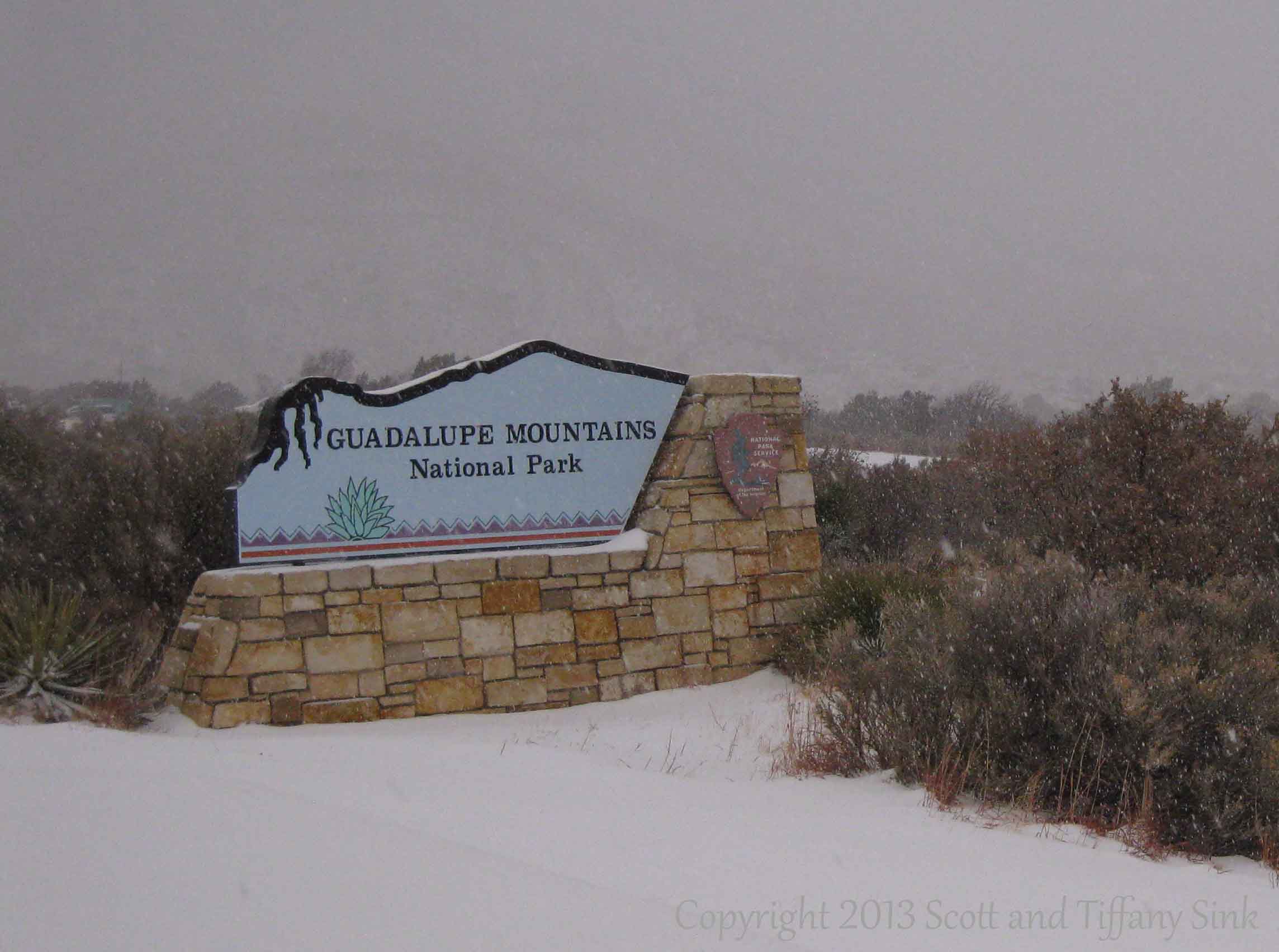
Fresh snowfall in December 2011 
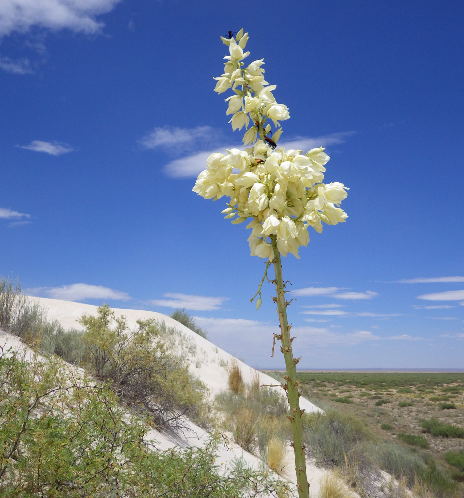
Yucca blooms at Salt Basin Dunes 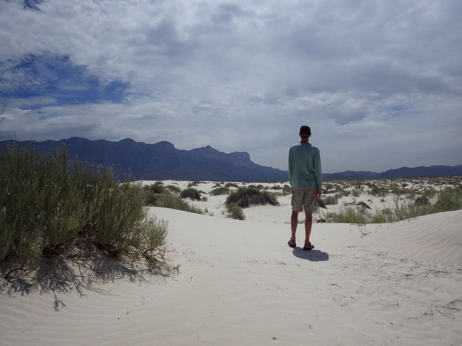
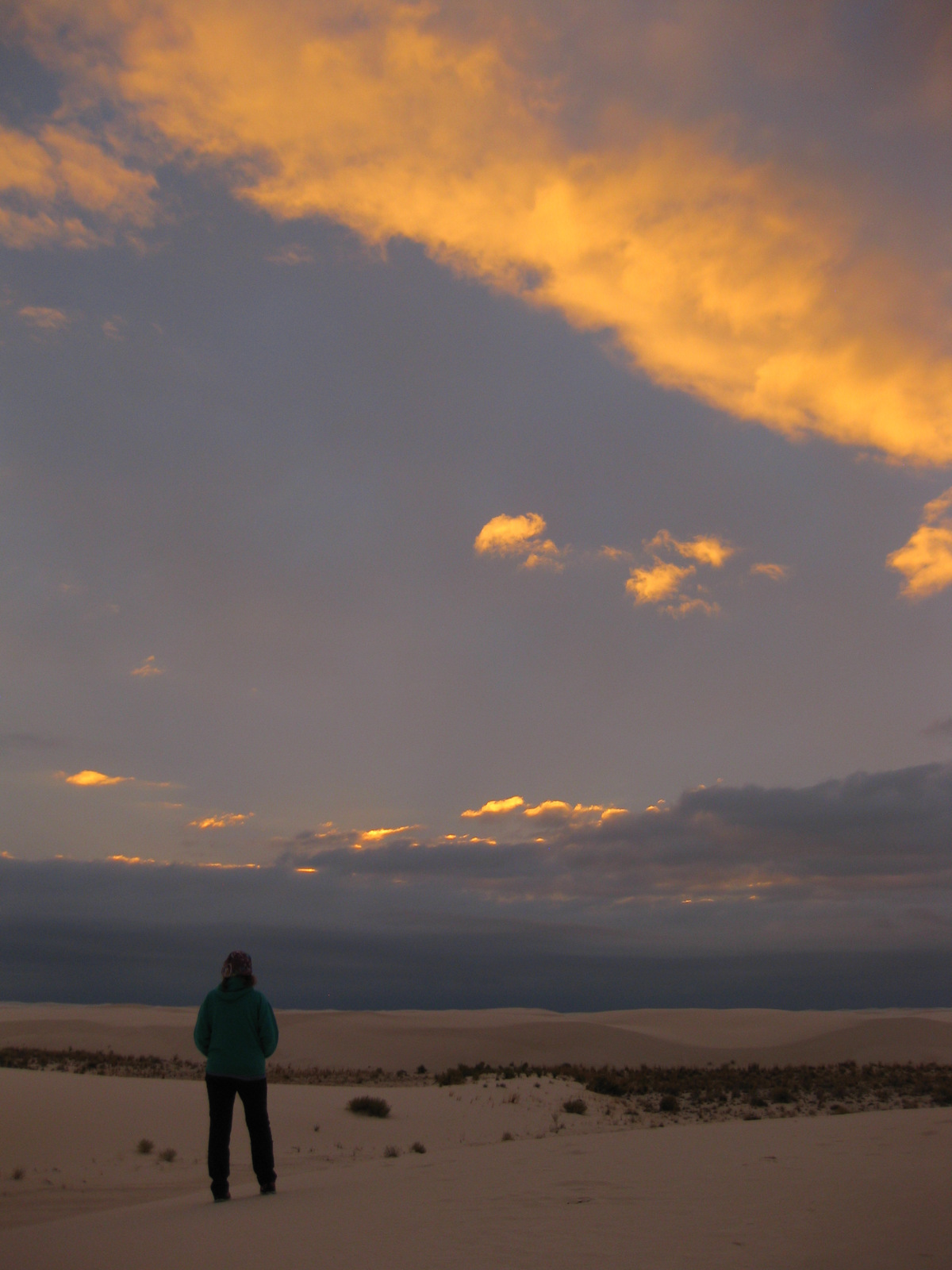
Scott surveying the Salt Basin Dunes 
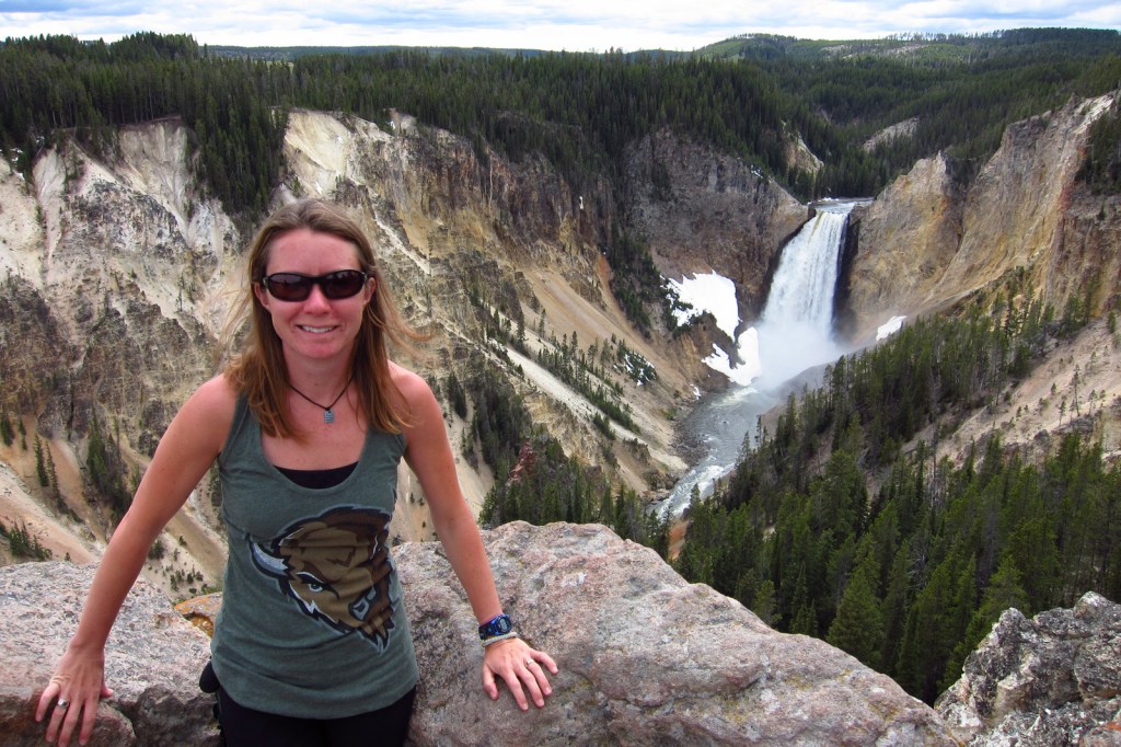
Tiff on the trail to Guadalupe Peak 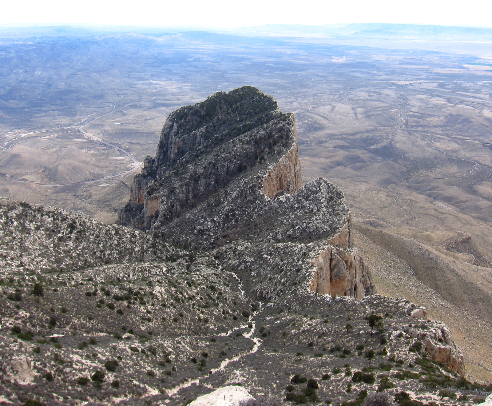
View of El Capitan from Guadalupe Peak 
Bush Mountain Trail in the Dog Canyon district 

This design we created to celebrate Guadalupe Mountains National Park is available on a variety of products at Cafe Press and Amazon.

Explore More – Why are the peaks of the Guadalupe Mountains full of marine fossils?
We are a participant in the Amazon Services LLC Associates Program, an affiliate advertising program designed to provide a means for us to earn fees by linking to Amazon.com and affiliated sites.