Overview
Carlsbad Caverns in southeastern New Mexico is the most spectacular cave in the United States (and #1 on our Top 10 List). Exploring the Big Room at your own pace is a great option, but you can add to your experience with guided tours of off-limits sections. The King’s Palace Tour is short but scenic; and Left Hand Tunnel was historically used for movies. Lower Cave Tour requires the use of ropes and ladders to access unlit portions of the cave. Slaughter Canyon Cave tour requires an extra hour drive, but visits some astonishing formations. “Wild caving” tours include Spider Cave and the Hall of the White Giant.

Highlights
Big Room, Walnut Canyon Desert Drive, Rattlesnake Springs Picnic Area, Bat Flight Program
Must-Do Activity
To enjoy the evening Bat Flight Program (where cameras are prohibited) you must come during the warmer months. Brazilian free-tailed bats migrate to the cave from the south and around sunset exit from the Natural Entrance in clockwise circling swarms. You will swear there are like a “Brazilian” of them, but the actual number is closer to 500,000. For an experience you will hear more than see, come back before sunrise as the bats zip by your head down into the cave for their day’s rest.
Best Trail
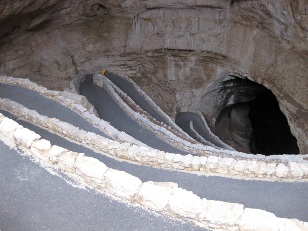
For your first visit, we recommend taking the self-guided trail from the Natural Entrance down a steep, paved passage into the heart of the cave, since you can always ride the elevators back up to the surface. After being surrounded by the natural cave formations, it was a bit jarring to come upon a modern restroom and cafeteria 775 feet underground.
Instagram-worthy Photo
Nothing can prepare you for the immensity of the Big Room, which is big enough to fit eight football fields with a ceiling that rises up to 255 feet. It defies belief that this cavity could have formed naturally. Perhaps the best part of this section of cave is that you can take as much time as you like admiring the formations. For the best photographs, we recommend using a tripod.

Peak Season
Summer, though it can be hot outside the 56°F cave.
Hours
https://www.nps.gov/cave/planyourvisit/hours.htm
Fees
No entrance fee, but there is a charge for each guided cave tour.
Road Conditions
Main entrance road is paved, but Walnut Canyon Desert Drive and much of the route to Slaughter Canyon Cave are not.
Camping
There are no campgrounds within the park, but there is a private campground near the park entrance in Whites City, New Mexico. Just down the highway in Texas, the National Park Service offers camping at Pine Springs within Guadalupe Mountains National Park. Free permits are required for backcountry camping, with Rattlesnake Canyon off Walnut Canyon Desert Drive being a popular destination.
The trail descending into the Natural Entrance 
Scott on the King’s Palace Tour 
The Papoose Room seen on the King’s Palace Tour 
A massive stalagmite in the Big Room 

Scott on the Left Hand Tunnel Tour 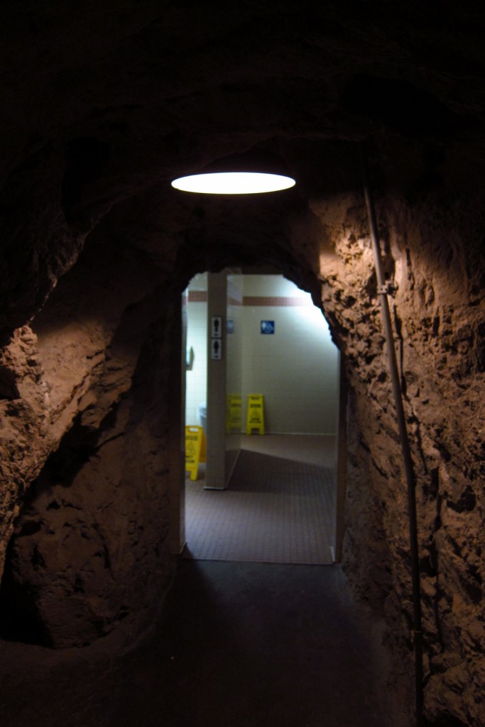
The hallway to the underground bathroom 
The crowd waiting for the bats to come out 
The entrance to Slaughter Canyon Cave 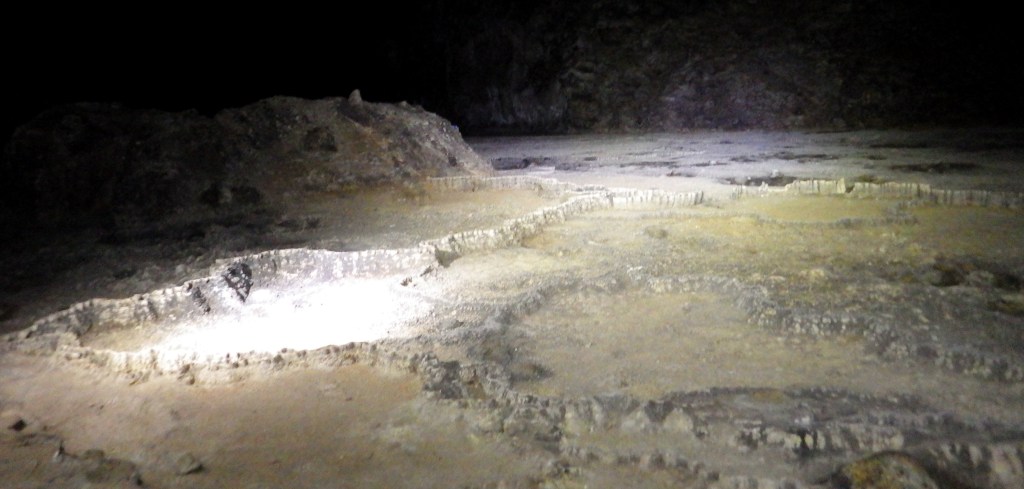
Chinese Wall in Slaughter Canyon Cave 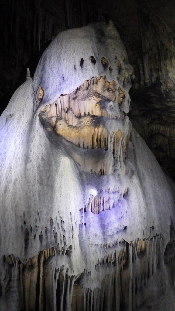
A creepy formation in Slaughter Canyon Cave 
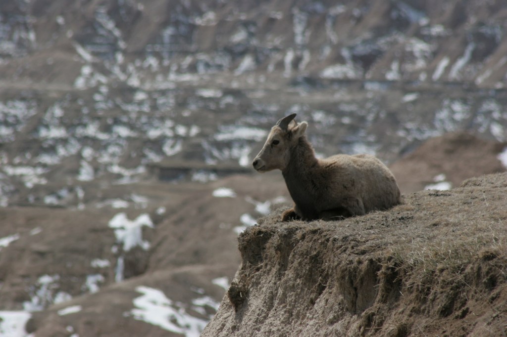
Mule deer seen along Walnut Canyon Desert Drive


Explore More – Historically, what was mined from the Natural Entrance and Slaughter Canyon Cave?

We are a participant in the Amazon Services LLC Associates Program, an affiliate advertising program designed to provide a means for us to earn fees by linking to Amazon.com and affiliated sites.