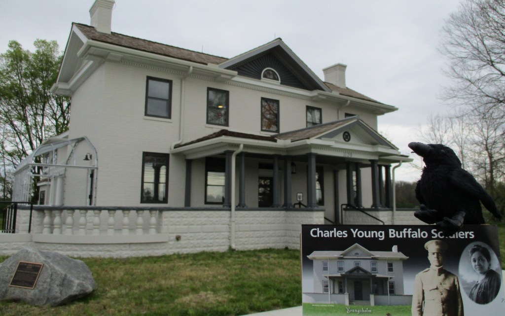
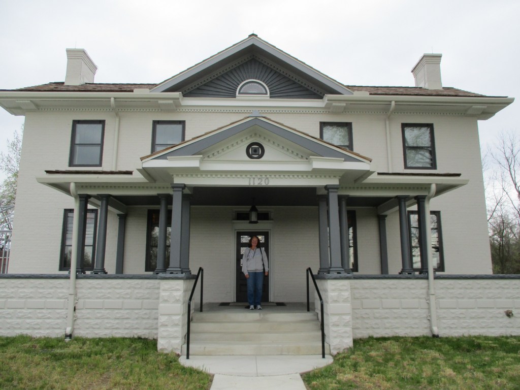
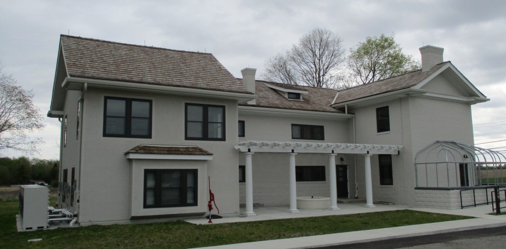
Charles Young Buffalo Soldiers National Monument
Ohio
Managed by National Park Service
Established 2013
60 acres
Website: nps.gov/chyo
Overview
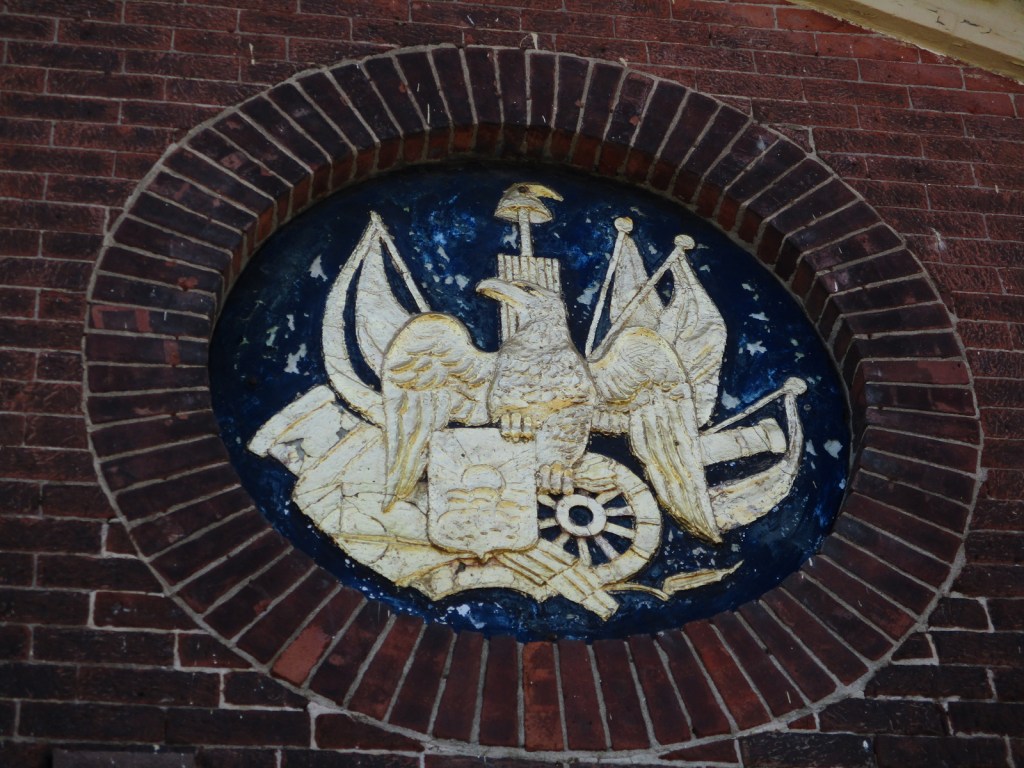
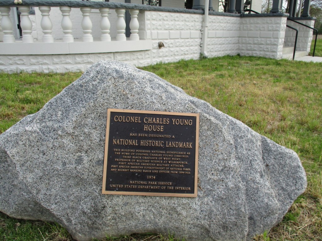
Charles Young was born to enslaved parents in 1864 and went on to become only the third African American to graduate from the U.S. Military Academy at West Point despite being the target of constant insults and social isolation. He was commissioned an Army officer, serving with the “Buffalo Soldiers,” so named by American Indians because their hair and ferocious fighting style was similar to the bison. Young became the first African American to serve as the Superintendent of a National Park when he commanded troops at General Grant (now Kings Canyon) and Sequoia National Parks in 1903. Four years later, Young and his family purchased the 1839-built house he called “Youngsholm” after teaching military science at nearby Wilberforce University for over a decade. His military career took him to the Philippines, Dominican Republic, Haiti, Mexico, and Liberia, but he was not allowed to fight in Europe during World War I. In 1922, Young died while serving as a military attaché in Africa and after a campaign by his family and notable African-American celebrities his body was reinterred at Arlington National Cemetery.
Learn more about the other 137 National Monuments in our book Monumental America: Your Guide to All 138 National Monuments. It is now available for sale on Amazon.com.
Highlights
Youngsholm, film, living history demonstrations
Must-Do Activity
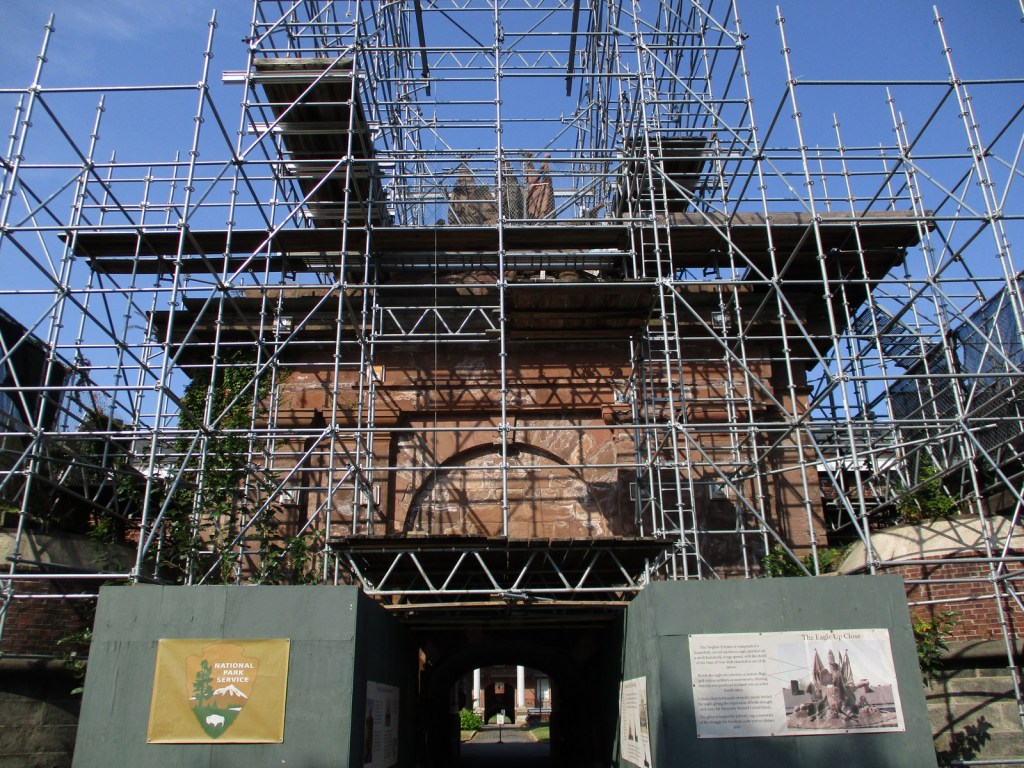
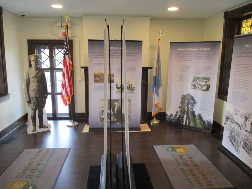
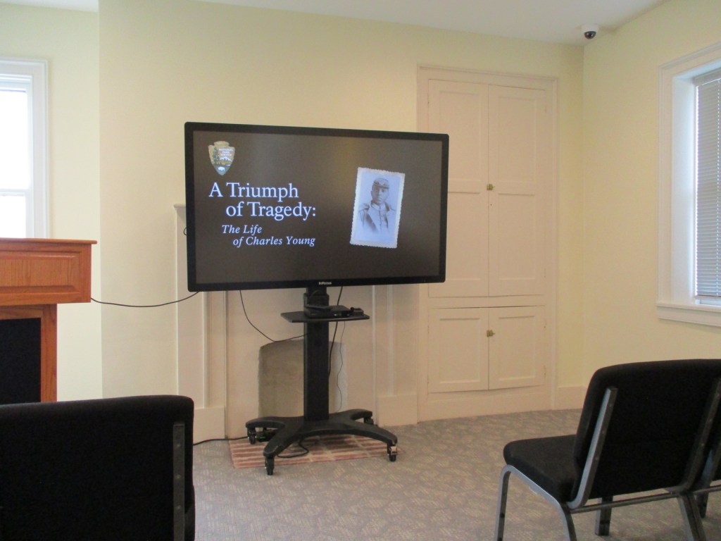
A “15-month renovation” of Youngsholm began in October 2021 to restore the house and add an elevator, which in typical government fashion was not finished until April 2024. There is a film focused on his life as a civil rights trailblazer that is played on the second floor of the house, which you can also watch online before visiting. We also recommend the 2023 PBS special Buffalo Soldiers that focuses extensively on Charles Young. None of the rooms inside Youngsholm are furnished, but there are many informational signs about Young and the Buffalo Soldiers. In addition, 30-minute talks on a variety of topics are given on most weekends by park rangers and there is a Junior Ranger booklet for the site.
Best Trail
None
Photographic Opportunity
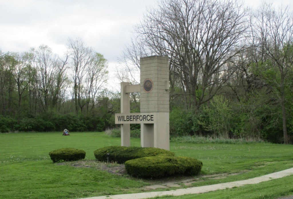
A short drive across Highway 42 from Youngsholm takes you to Wilberforce University where there is an Ohio Historical Marker telling the story of Charles Young’s connection with the school.

Peak Season
Summer
Hours
https://www.nps.gov/chyo/planyourvisit/hours.htm
Fees
None
Road Conditions
Youngsholm is located right off paved Highway 42 near the campus of Wilberforce University.
Camping
The scenic Hocking Hills State Park has 172 campsites (reservations recommended) and is one of the most popular places to camp in Ohio. Hueston Woods State Park offers 490 campsites, 59 cabins, and a lodge.
Related Sites
Dayton Aviation Heritage National Historical Park (Ohio)
Hopewell Culture National Historical Park (Ohio)
Fort Davis National Historic Site (Texas)


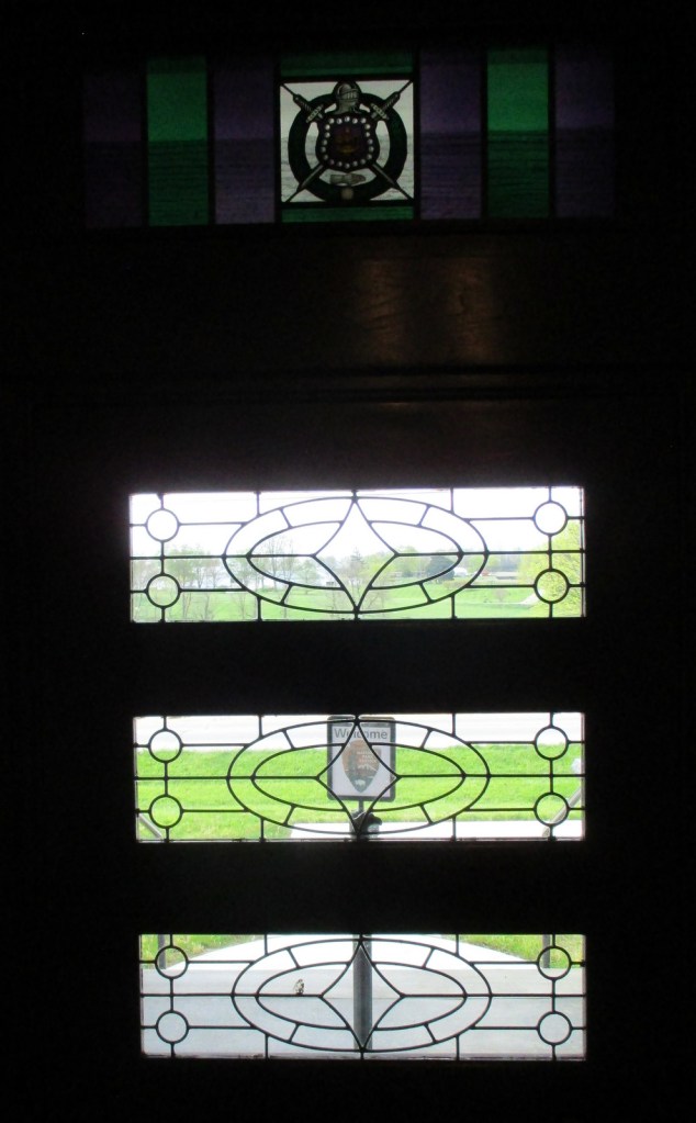


Explore More – What fraternity of African-American leaders is represented by the purple-and-green stained-glass window in Youngsholm?

Learn more about the other 137 National Monuments in our book Monumental America: Your Guide to All 138 National Monuments