Tag Archives: mountains

Continental Divide National Scenic Trail

Continental Divide National Scenic Trail

New Mexico, Colorado, Wyoming, Idaho, Montana

Managed by U.S. Forest Service (70%), Bureau of Land Management (12%), National Park Service (10%), other (8%)

Established 1978

3,028 miles

Website: https://www.fs.usda.gov/managing-land/trails/cdt

Overview

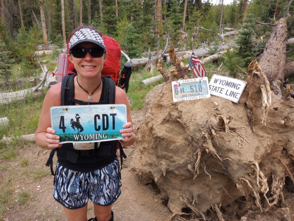
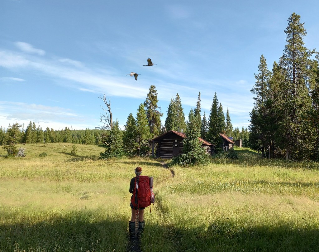
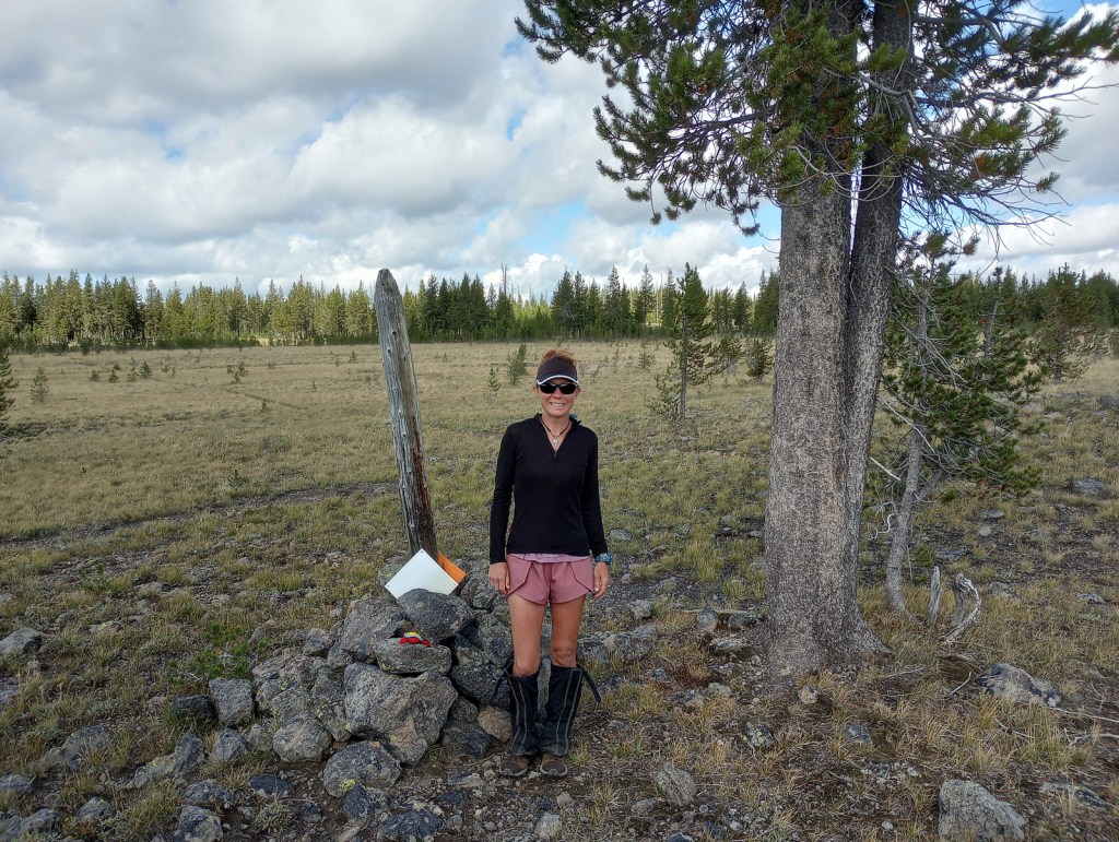
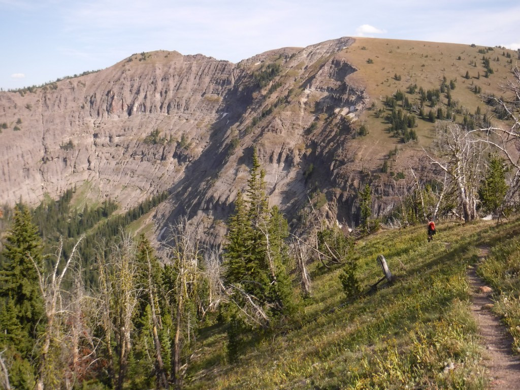
We decided to write about the Continental Divide National Scenic Trail (CDT) now, since Tiff recently finished backpacking the entire 512-mile Wyoming section of the route.  The CDT stretches 3,028 miles from the Crazy Cook Monument on the border with Mexico north to Waterton-Glacier International Peace Park.  The official trail is known as the “red route,” with popular alternatives called “blue routes” detouring through sections like New Mexico’s Gila Wilderness (which 95% of thru-hikers choose).  Tiff was supported by Scott along portions of the trail and they both backpacked through Yellowstone National Park together.  Tiff met dozens of thru-hikers doing the entire trail this year, many of whom were “flip-flopping” after getting stopped north bound (NOBO) by snowy Colorado mountains so switching to a south bound (SOBO) direction to finish.

Highlights

Rocky Mountain National Park, Yellowstone National Park, Glacier National Park, Gila Wilderness, El Malpaís National Monument, South Pass City State Park, Wind River Range, Lemhi Pass, Chinese Wall, Triple Divide Pass

Must-Do Activity

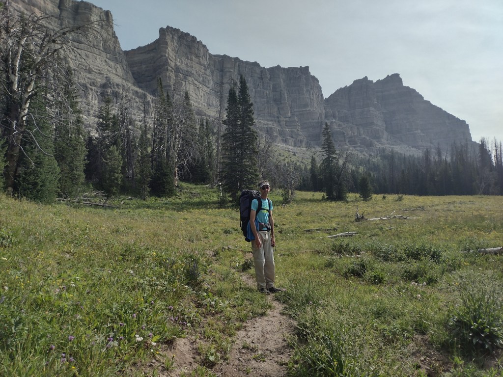
It takes the average thru-hiker 147 days to complete the trek (including “zeros days”), but you can get a feel for the experience on shorter point-to-point or loop hikes.  We have done the Rocky Mountain National Park section as a long day hike and Scott has backpacked the minimum 40 miles to see the famous Chinese Wall in Montana’s Lewis and Clark National Forest.  We had all three of our backcountry campsites to ourselves along Yellowstone National Park’s 67-mile stretch of CDT and went a full day without seeing another person near the park’s Idaho border.

Best Trail

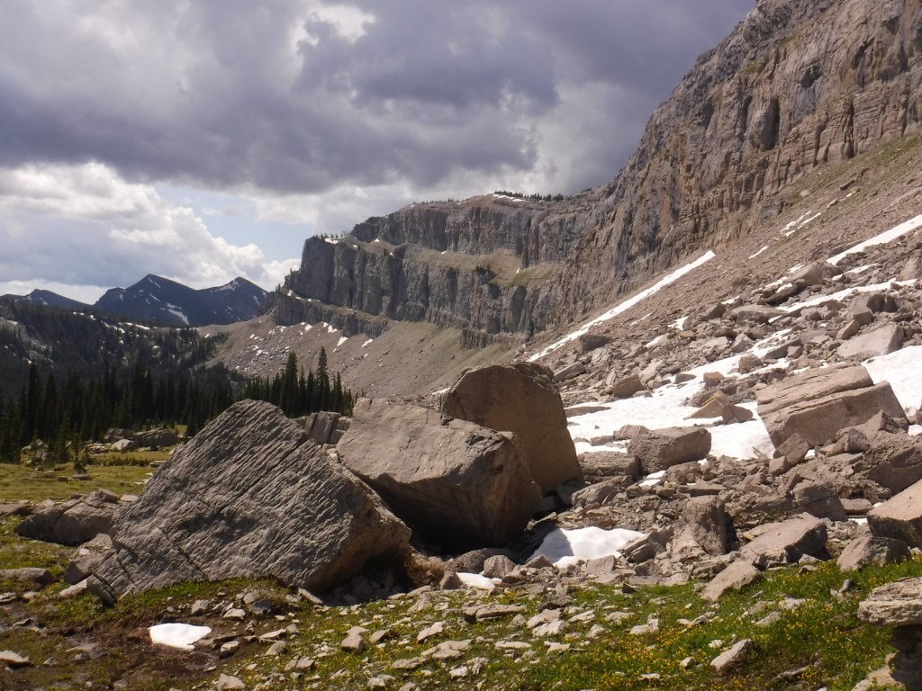
The Wind River Range in Wyoming’s Bridger National Forest is probably the most scenic stretch of mountains on the entire CDT.  Many thru-hikers detour to a blue route to see beautiful, but overcrowded Titcomb Basin and the Cirque of the Towers (actually in neighboring Shoshone National Forest).  Read more about our 2020 trip (mostly) following the CDT 120 miles through the range in our newspaper article.

Instagram-worthy Photo

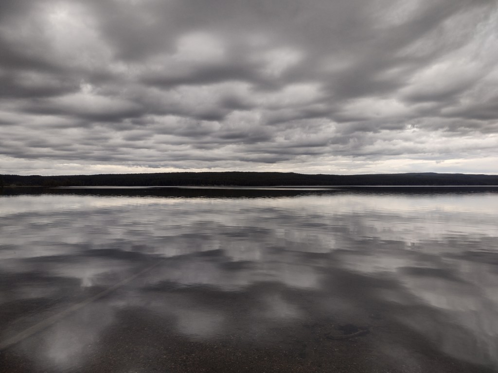
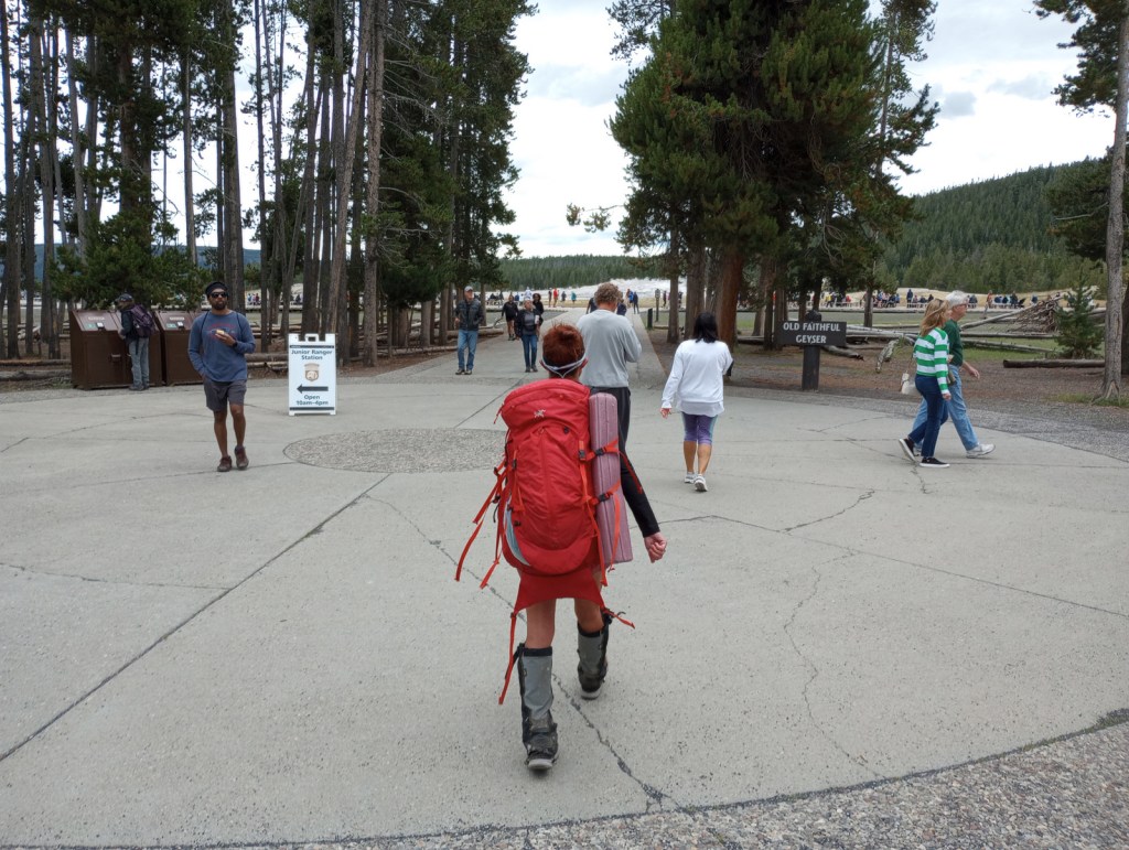
The CDT goes right past crowded Old Faithful in Yellowstone National Park’s Lower Geyser Basin, although there are other areas of colorful hot springs like those near Heart Lake (pictured).

Peak Season

Summer

Fees

Fees apply if you camp inside or drive into Rocky Mountain, Yellowstone, and Glacier National Parks

Road Conditions

Much of the trail is actually walking dirt roads and some paved roads, especially in New Mexico.  Access roads to certain trailheads can be very rough and require driving long unpaved sections, such as the 30 miles to busy Big Sandy Trailhead in Bridger National Forest.

Camping

Camping is dispersed except for designated sites (permit required) in Rocky Mountain, Yellowstone, and Glacier National Parks.

Related Sites

Appalachian National Scenic Trail (Georgia to Maine)

Pacific Crest National Scenic Trail (California-Oregon-Washington)

Natchez Trace National Scenic Trail (Mississippi-Alabama-Tennessee)

Explore More – Which three oceans receive water from Triple Divide Pass in Montana?

Top 10 Summit Trails in National Forests

Now that the snow is melting on the trails to the highest peaks in America, we thought it would be a good time to release our ranking of the Top 10 Summit Trails in National Forests.  None of the trails we selected require ropes, crampons, or ice axes to reach the top, but there are plenty of mountains in National Forests that do (like Wyoming’s Gannett Peak, Oregon’s Mt. Hood, and California’s Mt. Shasta).  It is best to start all of these hikes early in the morning (or even before sunrise) to avoid afternoon thunderstorms.  Click here to see all of our Top 10 Lists, including our Top 10 Backpacking and Day Hiking Trails in National Forests.

10. Black Elk Peak

Black Hills National Forest (South Dakota)

Rising in the center of the Black Elk Wilderness is 7,242-foot tall Black Elk Peak (formerly Harney Peak), the highest point in the U.S. east of the Rocky Mountains (with a distant view of Mt. Rushmore)

9. Mt. Elbert

San Isabel National Forest (Colorado)

Unlike some of the scrambles up Colorado’s 14ers, summiting the tallest of all is entirely on a good trail with switchbacks that steadily climb over 4,000 feet

8. Mt. Rogers

Jefferson National Forest (Virginia)

The shortest route to the highest point in Virginia is 4.5-miles one-way from Grayson Highlands State Park, gaining 1,350 feet in elevation (plus, watch for wild ponies)

7. Wheeler Peak

Carson National Forest (New Mexico)

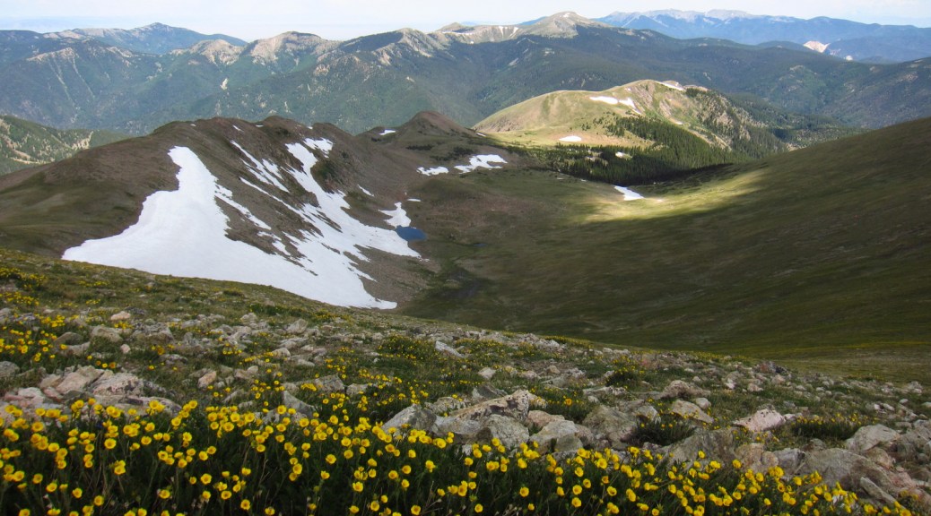
You can summit this 13,161-foot peak by hiking out-and-back, but we opted for a 14-mile loop with 3,771 feet of elevation gain

6. Kings Peak

Ashley National Forest (Utah)

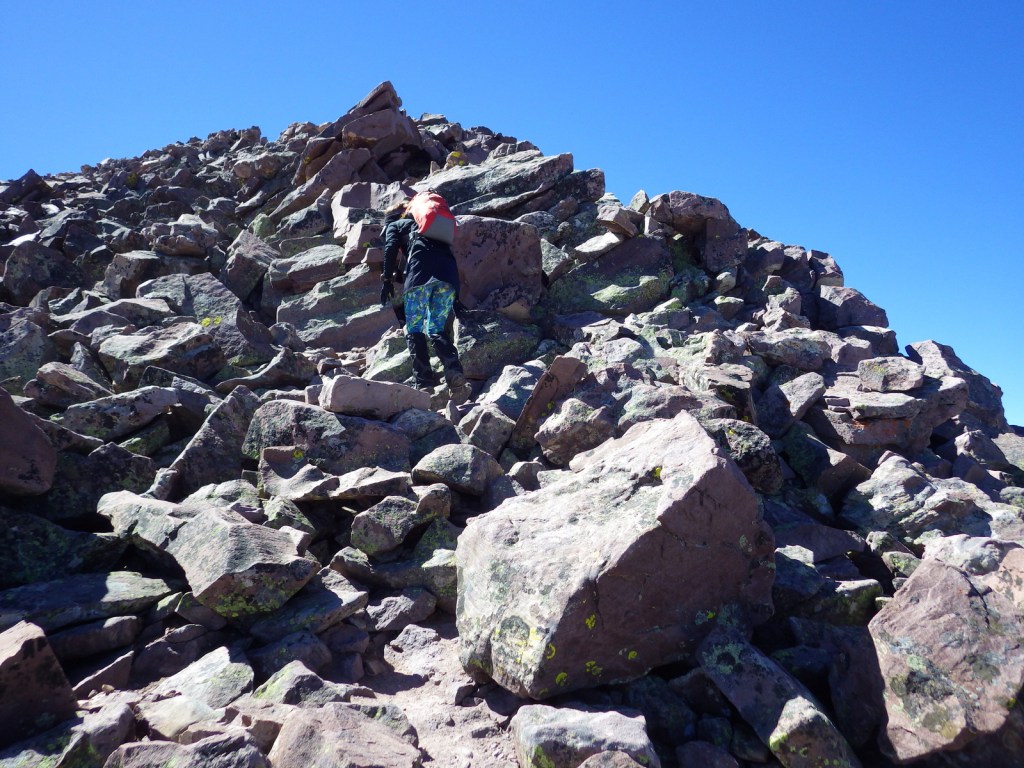
Utah’s highest point (13,528 feet) is in Ashley National Forest, but is most easily accessed from Wasatch National Forest (still 30 miles roundtrip) in the beautiful High Uintas Wilderness

5. Medicine Bow Peak

Medicine Bow National Forest (Wyoming)

Snowy Range Scenic Byway provides paved access in the summer to the high-elevation Medicine Bow Mountains, where this scenic and relatively easy trail begins

4. El Yunque

El Yunque National Forest (Puerto Rico)

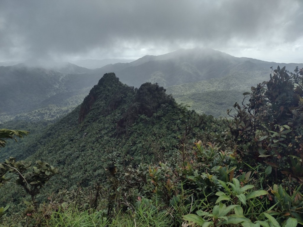
The views atop this tropical 3,496-foot peak are often shrouded by rainclouds, as is the nearby prominent peak at the end of El Toro National Recreation Trail

3. Mt. Humphreys

Coconino National Forest (Arizona)

We have summited Arizona’s highest point starting from Snowbowl Ski Area (easiest), Lockett Meadow (prettiest), and Weatherford Trailhead (hardest)

2. Mt. Sneffels

Uncompahgre National Forest (Colorado)

The most direct hike up the 14,150-foot summit requires scrambling up loose rock, so we opted for the less-frequented Southwest Ridge Route that climbs from Blue Lakes Pass

…and finally our #1 summit trail in a National Forest:

1. Borah Peak

Challis National Forest (Idaho)

A trail you will love to hate; it is a steep, all-day journey to Idaho’s highest point: 12,667-foot Borah Peak in the Lost River Range

.

Honorable Mentions

Mt. Whitney

Inyo National Forest (California)

Although Mt. Whitney is technically inside Sequoia National Park, the main access trail is through the National Forest and typically involves two nights backpacking (permit required)

Haystack Mountain

Deerlodge National Forest (Montana)

There is not much shade along this eight-mile out-and-back route that ends in a mountaintop boulder field with stunning panoramic views and the remnants of a fire lookout tower

Mt. Verstovia

Tongass National Forest

It is a strenuous climb from sea level to the top of 3,349-foot Mt. Verstovia, but anywhere above timberline has unsurpassed views of Baranof Island and Sitka’s harbor

We have included our favorite hiking trail for each of the 155 National Forests in our travel guidebook Out in the Woods

Flathead National Forest

Flathead National Forest

Montana

Managed by U.S. Forest Service, Northern Region

2,628,720 acres (2,404,925 federal/ 223,795 other)

Website: https://www.fs.usda.gov/flathead

Overview

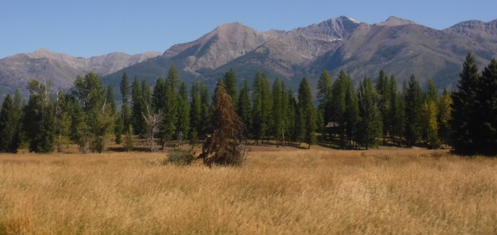
Flathead National Forest borders the entire south and west sides of Glacier National Park, providing important wildlife habitat in the Great Bear and Bob Marshall Wilderness areas.  It also borders the Flathead Indian Reservation, with the Mission Mountains Tribal Wilderness neighboring the beautiful Mission Mountains Wilderness (see Best Trail).  Flathead National Forest is known for great hiking and backpacking, especially from trailheads off Highway 83 east of Flathead Lake.  The National Forest contains most of the extensive Flathead National Wild and Scenic River, with the South Fork known for one particular four-mile stretch of rapids up to Class V.  The 564-foot-tall Hungry Horse Dam created a 34-mile-long reservoir with many boat ramps and campgrounds.

Highlights

Hungry Horse Reservoir, Holland Lake, Martin Falls, Glacier Lake, Big Salmon Falls, Flathead National Wild and Scenic River, Coram Experimental Forest, Jewel Basin, Danny On Memorial National Recreation Trail, Pacific Northwest National Scenic Trail, Continental Divide National Scenic Trail

Must-Do Activity

Near the town of Kalispell, Jewel Basin Hiking Area (stock prohibited) is famous among backpackers, but further south so is Holland Lake.  Several campgrounds surround the lake, including the free Owl Creek Packer Camp used by stock trailers.  From there the steep Holland-Gordon Trail climbs 2,100 feet in 5.8 miles one-way to Upper Holland Lake and continues into “the Bob” (Bob Marshall Wilderness).  A shorter option is a 3.2 mile-roundtrip that ascends only 550 feet to pretty Holland Falls.

Best Trail

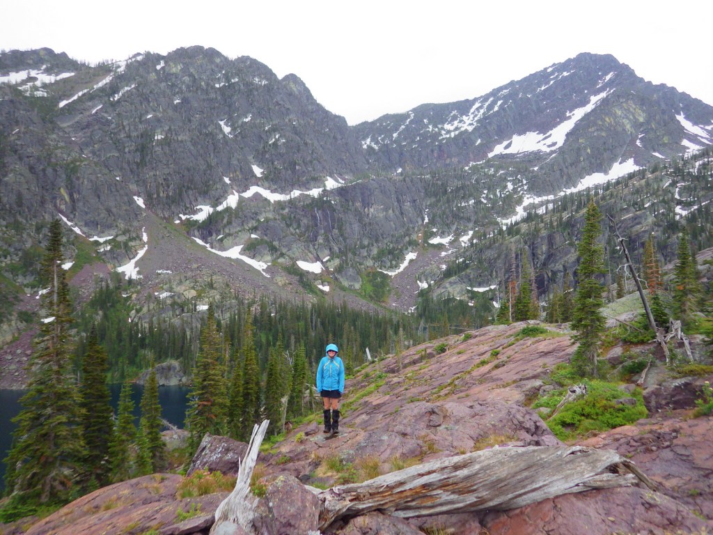
Flathead National Forest contains more than 2,800 miles of hiking trails, including 38 miles of the Pacific Northwest National Scenic Trail and a shorter stretch of the Continental Divide National Scenic Trail (which is mostly to the east in Lewis and Clark National Forest).  Accessible from Highway 83 in the southwest corner of Flathead National Forest is Glacier Lake Trailhead.  A long, good dirt road leads to the edge of the Mission Mountains Wilderness and a popular trail that accesses multiple mountain lakes.  It is only 1.5 miles one-way to Glacier Lake, but we continued on to Turquoise Lake for an 11.6-mile out-and-back hike with a cumulative elevation gain of 2,460 feet.  Both destinations are great for backpacking with stunning alpine scenery, but keep in mind that this is grizzly bear country and come prepared.

Watchable Wildlife

The most talked about species of wildlife found here is the grizzly bear, whose population primarily resides in the 1.5-million-acre Bob Marshall-Great Bear-Scapegoat Wilderness complex.  Other large mammals include black bear, Canada lynx, bobcat, mountain lion, coyote, wolverine, and beaver, as well as ungulates like moose, elk, mountain goat, bighorn sheep, and white-tailed deer.  Prominent birds include bald eagles, ospreys, ruffed grouse, dusky grouse, white pelicans, and trumpeter swans.  Fishermen are drawn to the lakes and rivers for a variety of species, including the bull trout.

Instagram-worthy Photo

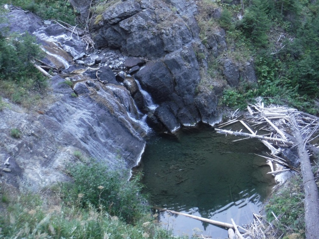
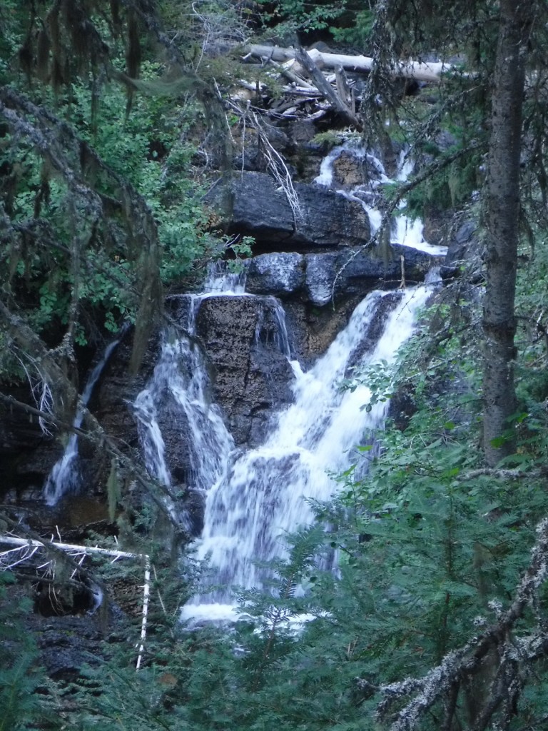
The steep terrain on the western flank of the Bob Marshall Wilderness creates numerous waterfalls, such as Barrier, Big Salmon, Dean, and Needle Falls.  Holland Falls is a short 3.2-mile roundtrip hike that ascends only 550 feet from Holland Lake.

Peak Season

Summer

Fees

None?

Road Conditions

The National Forest contains 1,700 miles of roads, so there are probably some rough ones out there, but we never had a problem accessing the major trailheads in a passenger vehicle.

Camping

Flathead National Forest has 31 campgrounds and 14 cabins available for rent.  Several campgrounds surround Hungry Horse Reservoir and Holland Lake, including the free Owl Creek Packer Camp used by stock trailers. 

Wilderness Areas

Bob Marshall Wilderness (also in and Lewis and Clark National Forest)

Great Bear Wilderness (also in Lewis and Clark National Forest)

Mission Mountains Wilderness

Related Sites

Lolo National Forest (Montana)

Grant-Kohrs Ranch National Historic Site (Montana)

Nez Perce National Historical Park (Idaho-Oregon-Washington-Montana)

Nearest National Park
Glacier

Conifer Tree Species

ponderosa pine, lodgepole pine, whitebark pine, Douglas-fir, Engelmann spruce, subalpine fir, western larch, alpine larch

Flowering Tree Species

quaking aspen, paper birch, sagebrush

Explore More – Coram Experimental Forest is an 800-acre area managed for what commercial tree species?

Learn more about this and the 154 other National Forests in our new guidebook Out in the Woods

We are a participant in the Amazon Services LLC Associates Program, an affiliate advertising program designed to provide a means for us to earn fees by linking to Amazon.com and affiliated sites.

Fishlake National Forest     

Fishlake National Forest           

Utah

Managed by U.S. Forest Service, Intermountain Region

1,539,737 acres (1,461,226 federal/ 78,511 other)

Website: https://www.fs.usda.gov/fishlake

Overview

Much of Fishlake National Forest is at high elevation in central Utah, which is also true of its namesake Fish Lake that sits at 8,800 feet.  Fish Lake is the largest natural mountain lake in Utah and lent its name to the Fish Lake Cutoff on the Old Spanish Trail, which ran from Santa Fe to Los Angeles.  There are hundreds of miles of trails open to ATVs in the National Forest, including the 238-mile Paiute ATV Trail and the Gooseberry ATV Trails accessible from Interstate 70.  There are also plenty of trails for hikers, backpackers, mountain bikers, and equestrians, including the trail that crosses the South Fork of North Creek Trail 60 times as it covers ten miles leaving from beautiful Blue Lake at the base of Mt. Baldy.

Highlights

Beaver Canyon Scenic Byway, Wildcat Guard Station, Tushar Mountains, Delano Peak, Bullion Falls, Pistol Rock, Koosharem Canyon, Fishlake Scenic Byway, Fool Creek Canyon petroglyphs, Blue Lake, Bullion Canyon Trail System, Skyline National Recreation Trail, Lakeshore Trail, Old Spanish National Historic Trail

Must-Do Activity

Fish Lake’s most famous resident is the aspen clone dubbed Pando (meaning “I spread” in Latin).  Connected by a single root system, stems of Pando cover 106 acres and it is estimated to have started growing 80,000 years ago, arguably making it the oldest and heaviest living organism on the planet.  Campers enjoy the popular Lakeshore Trail that is in four discontinuous sections adding up to about 15 miles.  We found the road to Pelican Promontory on the north side of the lake too rough for our passenger vehicle and the five-mile Pelican Canyon Trail too overgrown to follow after a mile, although we did see (and hear) a northern goshawk on nest. 

Best Trail

In the Tushar Mountains, Beaver Canyon Scenic Byway (Highway 153) switchbacks its way up to several trailheads for the 8.3-mile-long Skyline National Recreation Trail.  We attempted to access Lake Stream Trailhead in the middle, but found the road at Puffer Lake required high-clearance.  Instead, we drove the rough quarter-mile spur road to Big Flat Trailhead (at 10,220 feet in elevation) and hiked two miles to a rocky outcrop with good views.  We did not attempt to drive to the trail’s western terminus at Big John Flat Trailhead that sits beneath 12,173-foot Delano Peak.

Watchable Wildlife

We first heard and then saw a northern goshawk on a nest (see photos) as we struggled to follow the overgrown Pelican Canyon Trail at Fish Lake.  Additional birds of note are bald eagles, kestrels, several species of owls, turkey vultures, Canada geese, white pelicans, and wild turkeys.  Ungulates found here are elk, mule deer, pronghorns, bighorn sheep, mountain goats, and even some moose.  Other large mammals include black bears, bobcats, mountain lions, red foxes, coyotes, pine martens, minks, badgers, porcupines, beavers, snowshoe hares, and pika.  As you might expect from a National Forest named Fishlake, fishing is a popular activity in the lakes and streams for rainbow trout, lake trout, splake, and other species, even in the winter.

Instagram-worthy Photo

Stop at the informational pullout on the Fishlake Scenic Byway to read about the Fish Lake Cutoff of the Old Spanish Trail, then get your photo with the metal cutouts of a pack train in the sagebrush flats near Zedd’s Meadow.

Peak Season

Summer

Fees

$5 day use fee at Ponderosa Picnic Area or America the Beautiful pass

Road Conditions

There are some rough roads in this area that require high-clearance vehicles, including the ones to Pelican Promontory and Puffer Lake.  Fishlake Scenic Byway and Beaver Canyon Scenic Byway are paved, but connecting between the two required driving some good gravel roads that were already snow free during our mid-June visit.

Camping

The Aquarius Ranger Station is available for rental from May through October, as are the historic cabins at the Gooseberry Administrative Site.  There are several campgrounds at Fish Lake and others located throughout the National Forest, in addition to one scenic spot on a ridge adjacent to the Second Crossing of Salina Creek in the White Mountains.

Wilderness Areas

None

Related Sites

Dixie National Forest (Utah)

Bryce Canyon National Park (Utah)

Cedar Breaks National Monument (Utah)

Nearest National Park

Capitol Reef

Conifer Tree Species

subalpine fir, white fir, Engelmann spruce, Douglas-fir, ponderosa pine, singleleaf pinyon pine, Utah juniper

Flowering Tree Species

quaking aspen, Gambel oak, bigtooth maple, Fremont cottonwood, sagebrush

Explore More – Which famous American explorer named the Old Spanish Trail in the 1840s (hint: he has a National Forest named after him, but maybe not the one you first think)?

Learn more about this and the 154 other National Forests in our new guidebook Out in the Woods

We are a participant in the Amazon Services LLC Associates Program, an affiliate advertising program designed to provide a means for us to earn fees by linking to Amazon.com and affiliated sites.

Eldorado National Forest

Eldorado National Forest

California, Nevada

Managed by U.S. Forest Service, Pacific Southwest Region

887,721 acres (686,667 federal/ 201,054 other)

Website: https://www.fs.usda.gov/eldorado

Overview

Located in California’s Sierra Nevada, Eldorado National Forest has ghost towns dating back to the 1849 gold rush.  El Dorado is Spanish for “the golden one,” which often referred to the fabled Lost City of Gold sought by the Conquistadors.  The single-word spelling Eldorado may have been a clerical error dating back to the creation of the National Forest in 1910.  Elevations range from 1,000 feet in the foothills to more than 10,000 feet in the Sierra Nevada.  In addition to 297 lakes and reservoirs, it contains 611 miles of fishable streams in the drainages of the North Fork of the Mokelumne River, Cosumnes River, and the Middle and South Forks of the American River.  There are 349 miles of trails in Eldorado National Forest, including a portion of the Pacific Crest National Scenic Trail that follows mountain ridges on the west side of Lake Tahoe.

Highlights

Carson Pass Scenic Highway, Lake Tahoe Basin Management Unit, Tallac Historic Site, Caldor Auto Tour, Silver Lake, Crystal Basin Recreation Area, Loon Lake, Ice House Reservoir, Traverse Creek, Horsetail Falls, Fourth of July Lake, Cascade Falls Loop Trail, Pacific Crest National Scenic Trail

Must-Do Activity

The Forest Service’s Lake Tahoe Basin Management Unit is composed of 150,000 acres of Eldorado, Tahoe, and Toiyabe National Forests surrounding Lake Tahoe.  It was established in 1973 to preserve and restore the ecosystem of one of the nation’s most popular playgrounds.  Averaging 1,000 feet in depth, Lake Tahoe is famous for its water clarity and, although it has no outlet to the ocean, it is dammed on the Truckee River to control water levels.  After the 1858 discovery of the Comstock Lode in nearby Virginia City, Nevada, extensive deforestation occurred around the lake.  This eventually led to conservation efforts to place 78% of its watershed into National Forests starting in 1899.  Hiking trails uphill from the lake’s shoreline (mostly privately owned) are almost entirely within National Forests, including the circumnavigating Tahoe Rim Trail.

Best Trail

Near the National Forest’s border with Lake Tahoe, the 63,960-acre Desolation Wilderness is the country’s most visited Wilderness area on a per acre basis.  With the exception of thru-hikers on the Tahoe Rim and Pacific Crest Trails, a daily quota limits the number of backpackers in the Desolation Wilderness.  Even day hikers are required to carry a permit and a bear box is recommended for all overnight users.  We took a smoke-obscured hike five miles one-way from Lower Echo Lake up to Lake Aloha in the Desolation Wilderness, a popular stop for backpackers.

Watchable Wildlife

A Mediterranean climate exists in the lower elevation ranges of the National Forest, while alpine regions can receive more than 15 feet of snowfall, so there is a wide diversity of wildlife.  In the conifer forests of the Sierra Nevada look for mule deer, black bears, weasels, martens, mountain lions, and bobcats.  California quail, mountain quail, sooty grouse, and wild turkeys are common game birds.  Watch the skies for raptors like bald eagles, ospreys, red-tailed hawks, and turkey vultures. 

Instagram-worthy Photo

By the time we visited in mid-August, Cascade Falls was barely a trickle compared to its raging snowmelt flow in the springtime.  The strenuous one-mile hike from Bayview Trailhead was still worth the effort for the sweeping views of Cascade Lake and Lake Tahoe’s Emerald Bay (at least when it is not so smoky). 

Peak Season

Summer

Fees

None

Road Conditions

Eldorado National Forest has 2,367 miles (3,809 km) of roads, including 400 miles of private roads.  Many of these are rough and unpaved and may require high-clearance or four-wheel drive, especially the infamous Rubicon Trail on the western shore of Lake Tahoe.

Camping

Bayview Campground is located across Highway 89 from Lake Tahoe at the Bayview Trailhead near scenic Eagle Falls and Emerald Bay State Park.  Woods Lake has a campground and a 3.5-mile trail to Fourth of July Lake, plus there are campgrounds at Fallen Leaf Lake, Ice House Reservoir, Loon Lake, Upper Valley Reservoir, and Silver Lake.

Wilderness Areas

Desolation Wilderness

Mokelumne Wilderness (also in Stanislaus and Toiyabe National Forests)

Related Sites

Devils Postpile National Monument (California)

Whiskeytown-Shasta-Trinity National Recreation Area (California)

Rosie the Riveter/World War II Home Front National Historical Park (California)

Nearest National Park

Yosemite

Conifer Tree Species

red fir, white fir, Douglas-fir, incense-cedar, ponderosa pine, lodgepole pine, Jeffrey pine, gray pine, sugar pine, foxtail pine, western juniper

Flowering Tree Species

Pacific dogwood, California buckeye, manzanita

Explore More – Traverse Creek near Placerville is known for its exposed serpentine rock, which contains what elements toxic to many trees and plants?

Learn more about this and the 154 other National Forests in our new guidebook Out in the Woods
We are a participant in the Amazon Services LLC Associates Program, an affiliate advertising program designed to provide a means for us to earn fees by linking to Amazon.com and affiliated sites.