Deerlodge National Forest
Montana
Managed by U.S. Forest Service, Northern Region
1,369,894 acres (1,227,155 federal/ 142,739 other)
Website: https://www.fs.usda.gov/bdnf
Overview
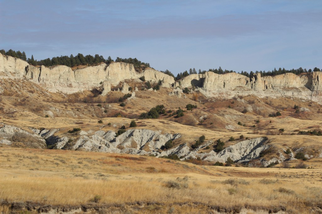
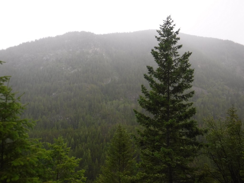
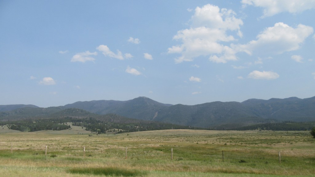
President Theodore Roosevelt originally created the Big Hole Forest Reserve in 1908 after the area around Butte, Montana was clearcut by the Anaconda Copper Mining Company. There are still many remnants of historical mining found throughout Deerlodge National Forest. In 1996, it became part of Beaverhead-Deerlodge National Forest, the largest of the many National Forests in Montana. The smaller and more northerly Deerlodge section includes portions of the Boulder Mountains, Highland Mountains, Flint Creek Range, John Long Mountains, and Elkhorn Mountains, as well as part of the Anaconda-Pintler Wilderness.
Highlights
Pintler Scenic Loop, Skalkaho Pass, Elkhorn ghost town, Boulder River, Sheepshead Recreation Area, Delmoe Lake, Pipestone Rock, Maud South Canyon Loop Trail, Lost Cabin National Recreation Trail
Must-Do Activity
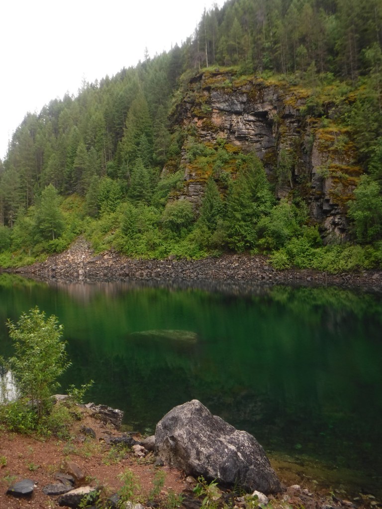
Butte, Montana is surrounded by mountains that are part of Deerlodge National Forest and many dirt roads explore this area. One road leads to Delmoe Lake, six miles east of Butte and located near Pipestone Rock, once a source of stone for making various implements. Ghost towns accessible by road include the mining settlements of Elkhorn and Highland City. The Deer Lodge Mound is a 40-foot-tall geothermal formation that resembles a medicine lodge with steam emitting from its top. Historically, the mineral-laden water attracted large herds of deer. It is currently on the grounds of the Warm Springs State Hospital and is visible from Interstate 90.
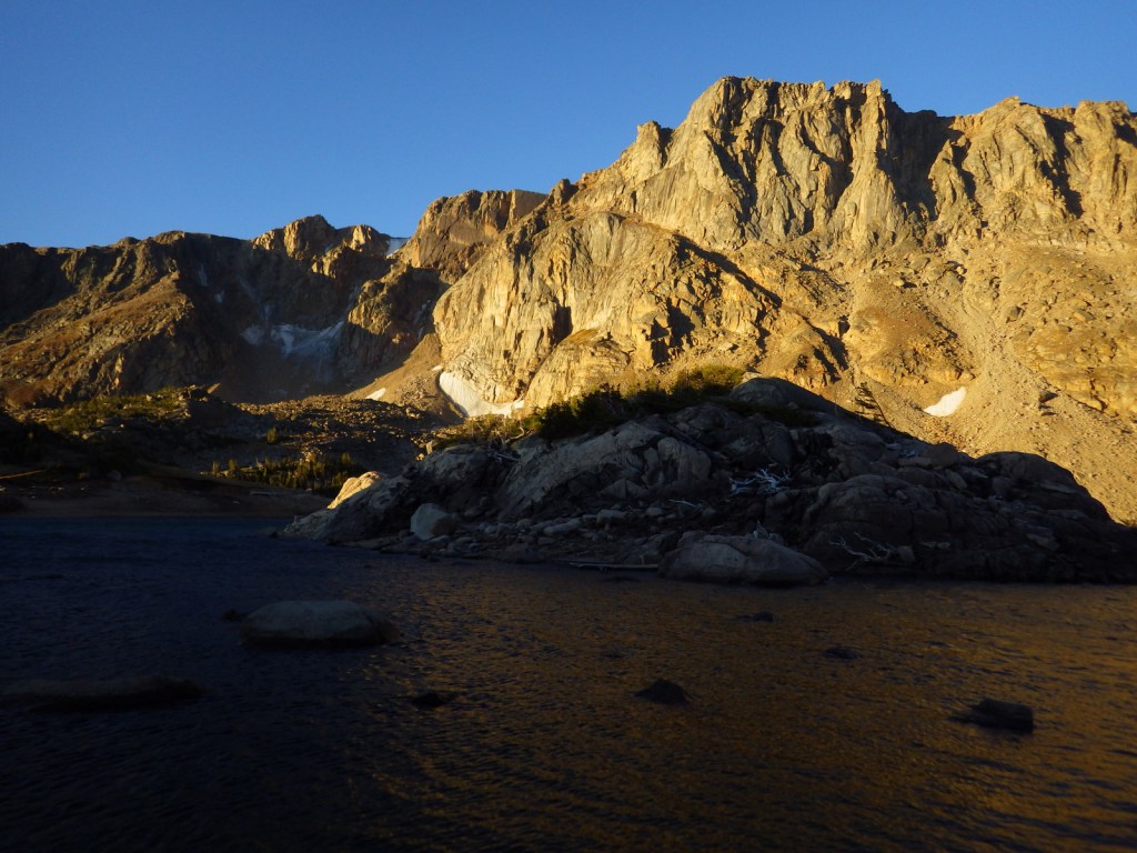
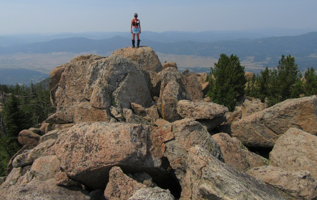
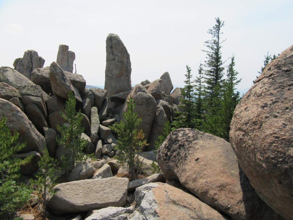
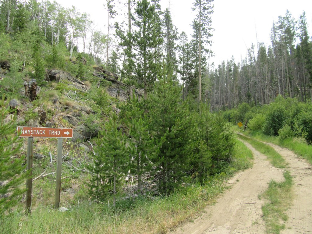
Best Trail
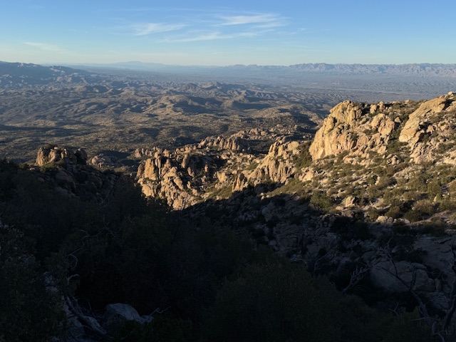
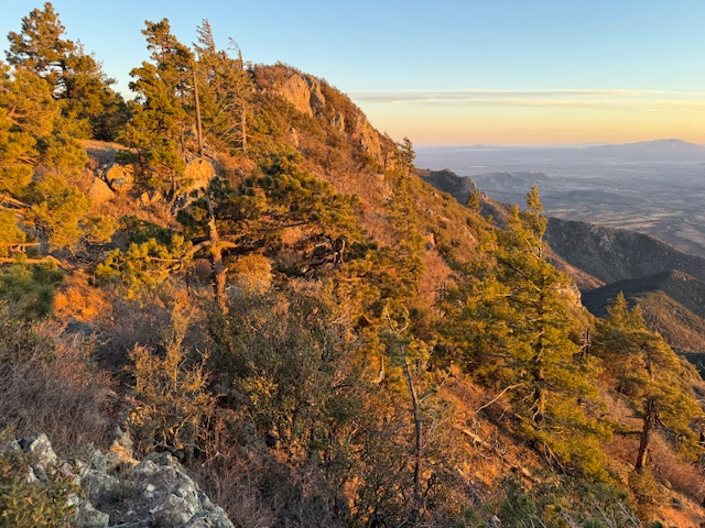
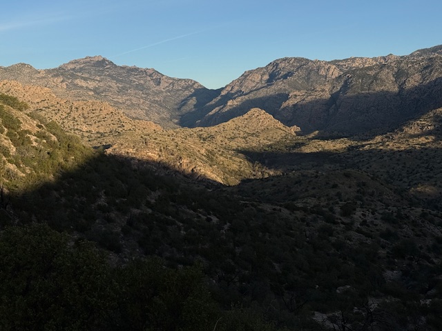
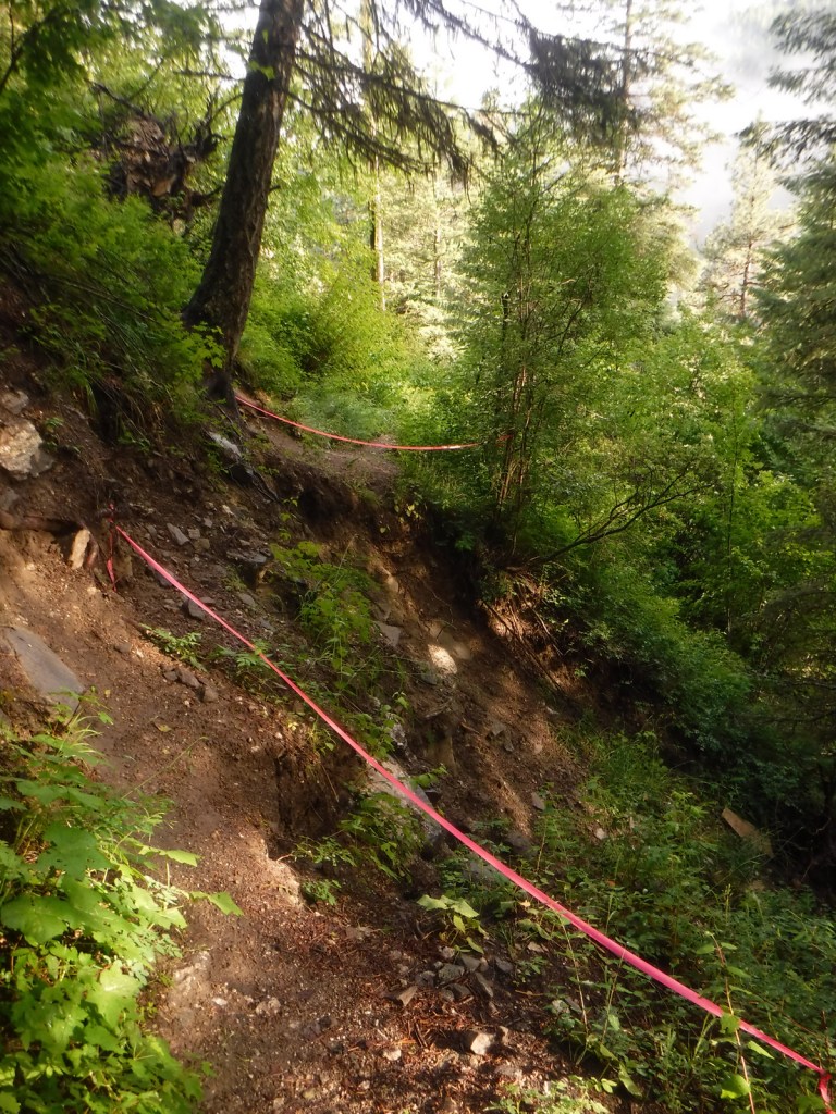
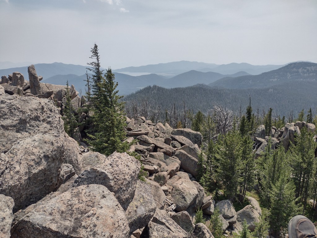
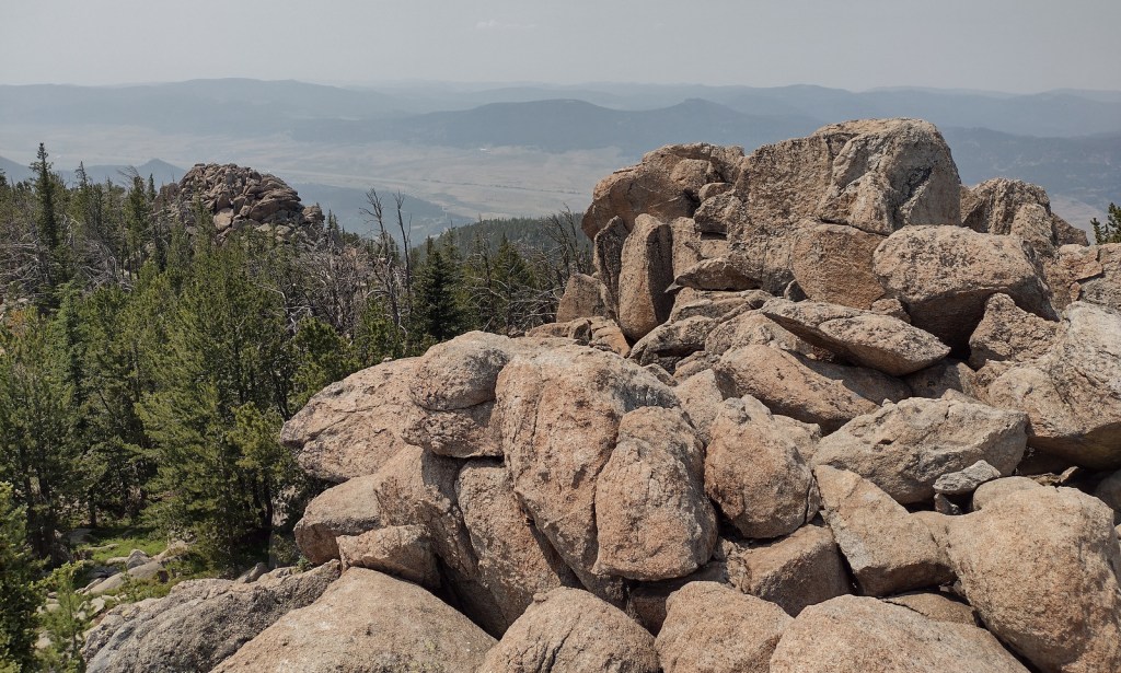
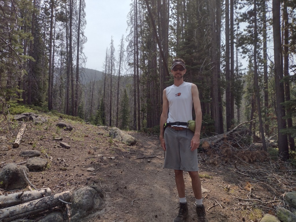
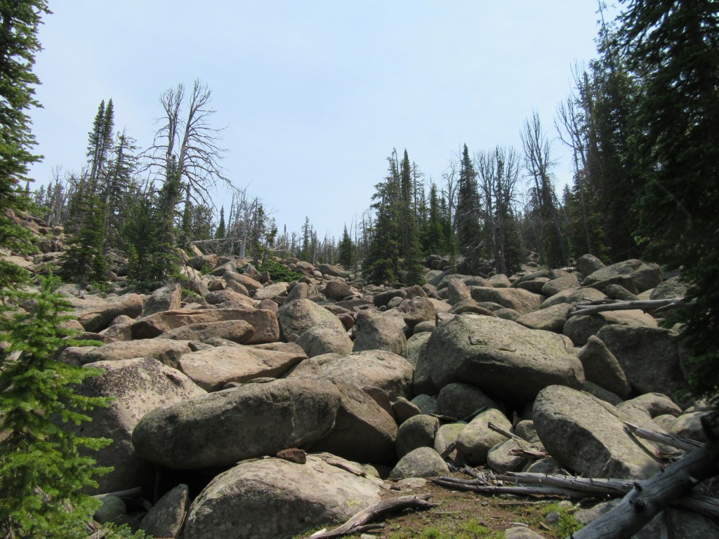
Although the official trailhead for Haystack Mountain National Recreation Trail is 1.2 miles uphill from Interstate 15, we had to park along the frontage road because access required a high-clearance vehicle. This added about 700 feet of elevation gain to the 2,000 feet from the trailhead and made the total hike eight miles out-and-back. There is not much shade along the route that ends in a mountaintop boulder field with stunning panoramic views and the remnants of a fire lookout tower.
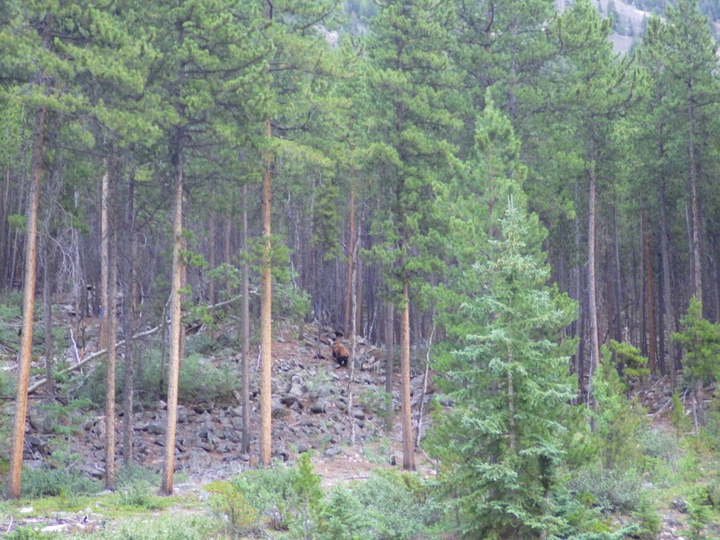
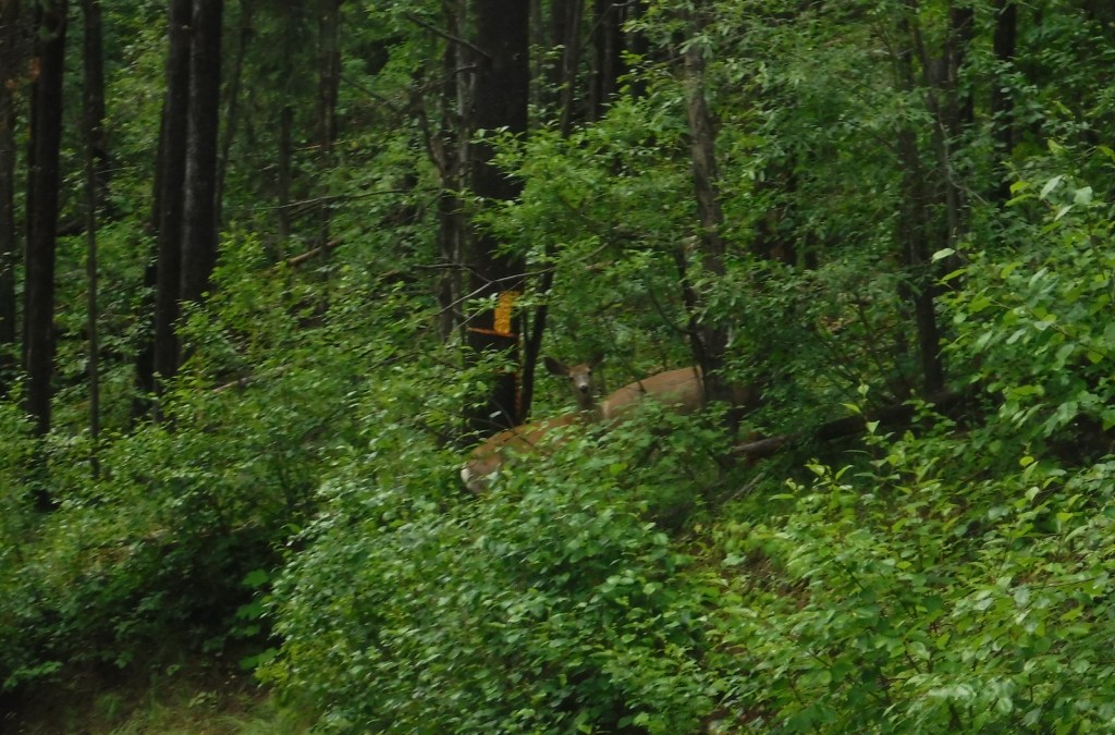
Watchable Wildlife
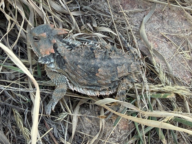
Due to its proximity to Yellowstone National Park, Deerlodge National Forest still has most of its pre-settlement carnivores: grizzly bears, black bears, mountain lions, Canadian lynx, coyotes, and gray wolves. Grazing ungulate species include moose, elk, mule deer, white-tailed deer, bighorn sheep, mountain goats, and pronghorns. Bald eagles and ospreys are common around bodies of water. Mountain whitefish, golden trout, cutthroat trout, rainbow trout, brook trout, lake trout, arctic grayling, and burbot are some of the gamefish sought by fishermen.
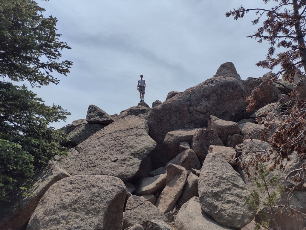
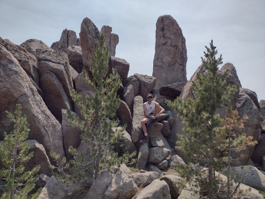
Instagram-worthy Photo
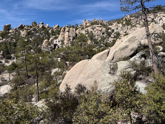
The boulder field at the end of Haystack Mountain National Recreation Trail provides 360° views (even on a smoky day), which is why it once housed a fire lookout tower.
Peak Season
Summer
Fees
None
Road Conditions
There are many rough roads in Deerlodge National Forest, including the one to the official trailhead for Haystack Mountain National Recreation Trail, 1.2 miles uphill from an Interstate 15 frontage road.
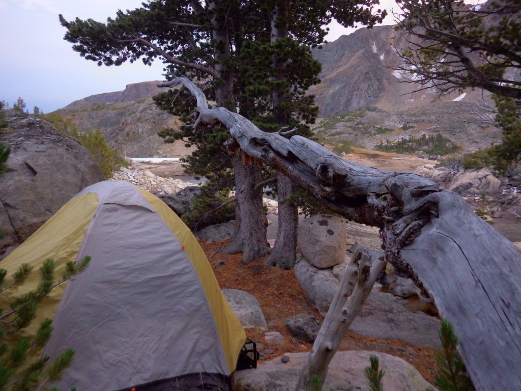
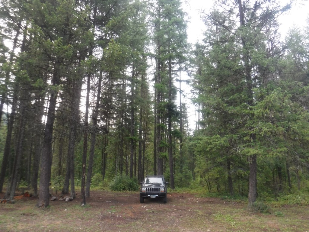
Camping
There are campgrounds throughout the National Forest, including several along the Boulder River and one on the southern side of Toll Mountain.
Wilderness Areas
Anaconda-Pintler Wilderness (also in Beaverhead and Bitterroot National Forests)
Related Sites
Grant-Kohrs Ranch National Historic Site (Montana)
Beaverhead National Forest (Montana)
Bitterroot National Forest (Montana-Idaho)
Nearest National Park


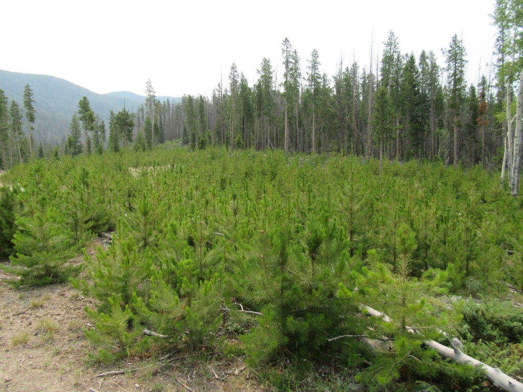

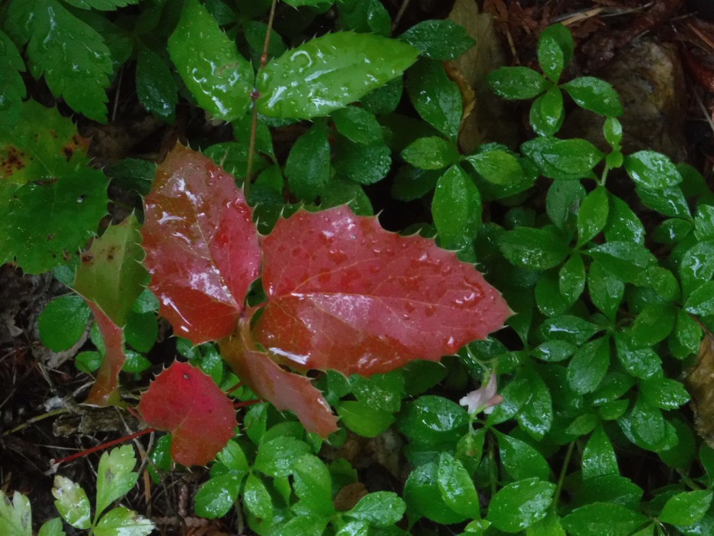
lodgepole pine, whitebark pine, ponderosa pine, Douglas-fir, Engelmann spruce, subalpine fir, subalpine larch
quaking aspen, balsam poplar, Bebb willow, sagebrush
Explore More – The Anaconda Copper Mine is one of the largest open pit mines in the world, but what originally brought miners to this region in the 1800s?

Learn more about this and the 154 other National Forests in our new guidebook Out in the Woods
We are a participant in the Amazon Services LLC Associates Program, an affiliate advertising program designed to provide a means for us to earn fees by linking to Amazon.com and affiliated sites.