Tag Archives: mountains

Hawai‘i Volcanoes National Park

Hawai‘i Volcanoes National Park

Hawai‘i

Managed by National Park Service

Established 1916

344,812 acres

Website: nps.gov/havo

Overview

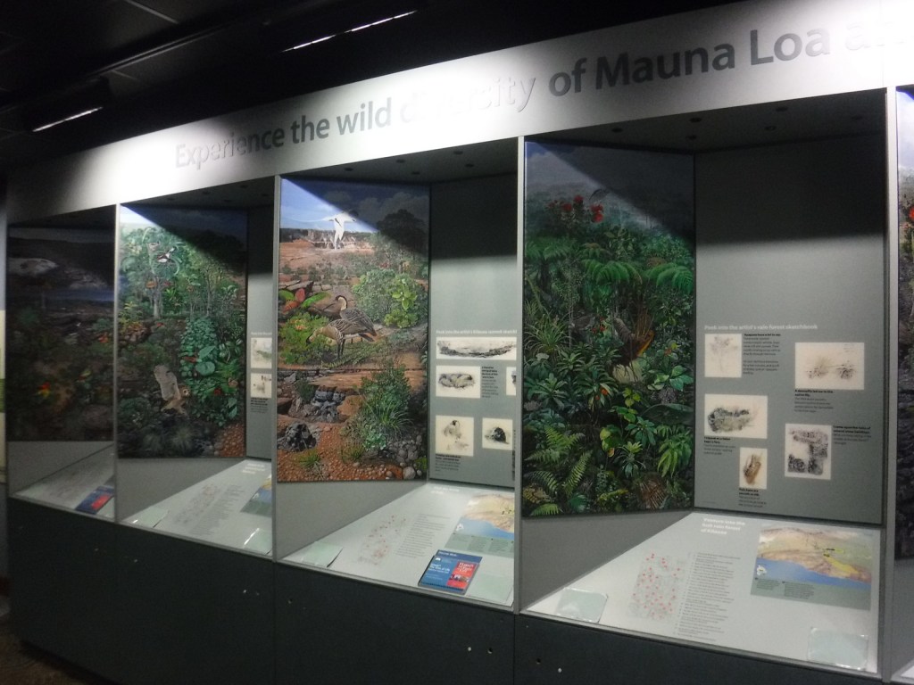
Hawai‘i National Park was created in 1916, before being split in 1961 into this park on the Big Island of Hawai‘i and Haleakala National Park on Maui.  Encompassing two of the world’s most active volcanoes (Kīlauea and Mauna Loa), Hawaiʻi Volcanoes National Park is constantly changing.  Indigenous people considered Kīlauea Caldera and its bubbling Halemaʻumaʻu Crater as the sacred home of Pele, goddess of the volcano.  This area first became a tourist attraction in the 1840s when Volcano House was still a grass shack.  A small, wooden hotel was built in 1877 that now serves as Volcano Art Center Gallery, before the larger lodge was finished in the 1940s on the edge of the caldera.  A strenuous backpacking trail summits the world’s largest shield volcano, 13,677-foot Mauna Loa, which erupted in 1926, 1942, 1950, 1984, and 2022. 

To learn more about the separate Kahuku Unit and how to find solitude in this National Park that saw 1.6-million visitors in 2023, check out our expanded 2nd edition of our guidebook A Park to Yourself: Finding Solitude in America’s 63 National Parks

Highlights

Volcano Art Center, Halemaʻumaʻu Crater, Chain of Craters Road, Kīlauea Iki Crater, Nāhuku (Thurston Lava Tube), Hōlei Sea Arch, Lava Tree Molds, Mauna Loa Overlook, Kīpukapuaulu Trail, Pu‘u Loa Petroglyphs Trail

Must-Do Activity

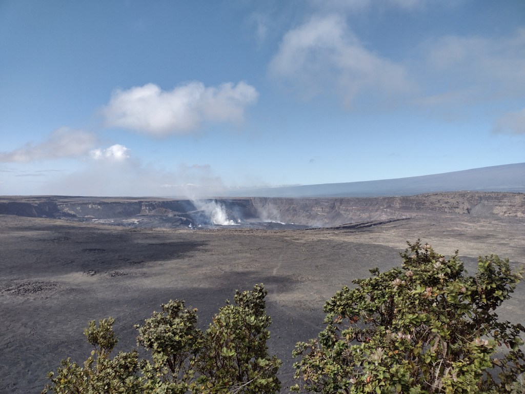
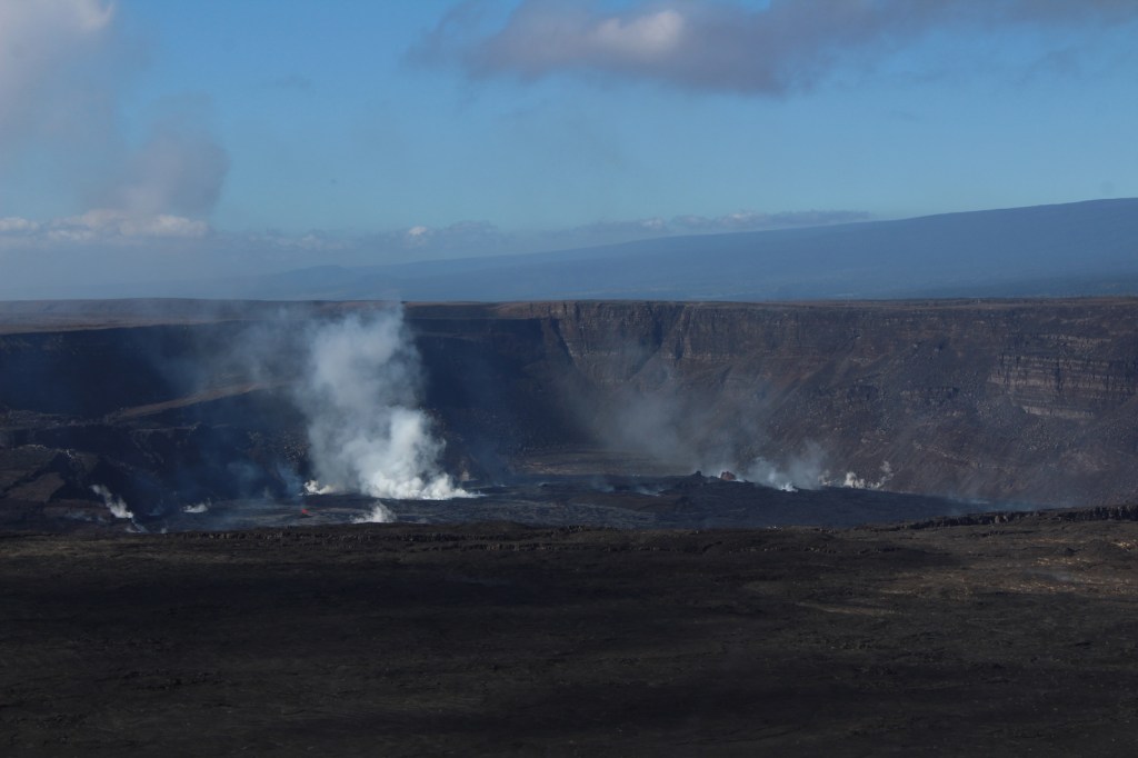
Arrive early or late at the visitor center to avoid tour bus crowds, then check with a ranger to find the best overlooks to view any volcanic activity in Halemaʻumaʻu Crater (depicted in our illustration below).  Consider returning to view the molten lava after dark, although parking can be a challenge.  The Chain of Craters Road leads 20 miles south from the forested caldera rim above 4,078 feet in elevation down to the sparsely vegetated seashore, descending through a wide range of environments before it dead ends into recent lava flows near the Hōlei Sea Arch and 1.5-mile Pu‘u Loa Petroglyphs Trail, where the crisp images chipped into the black lava have been spared from centuries of volcanic activity. 

Best Trail

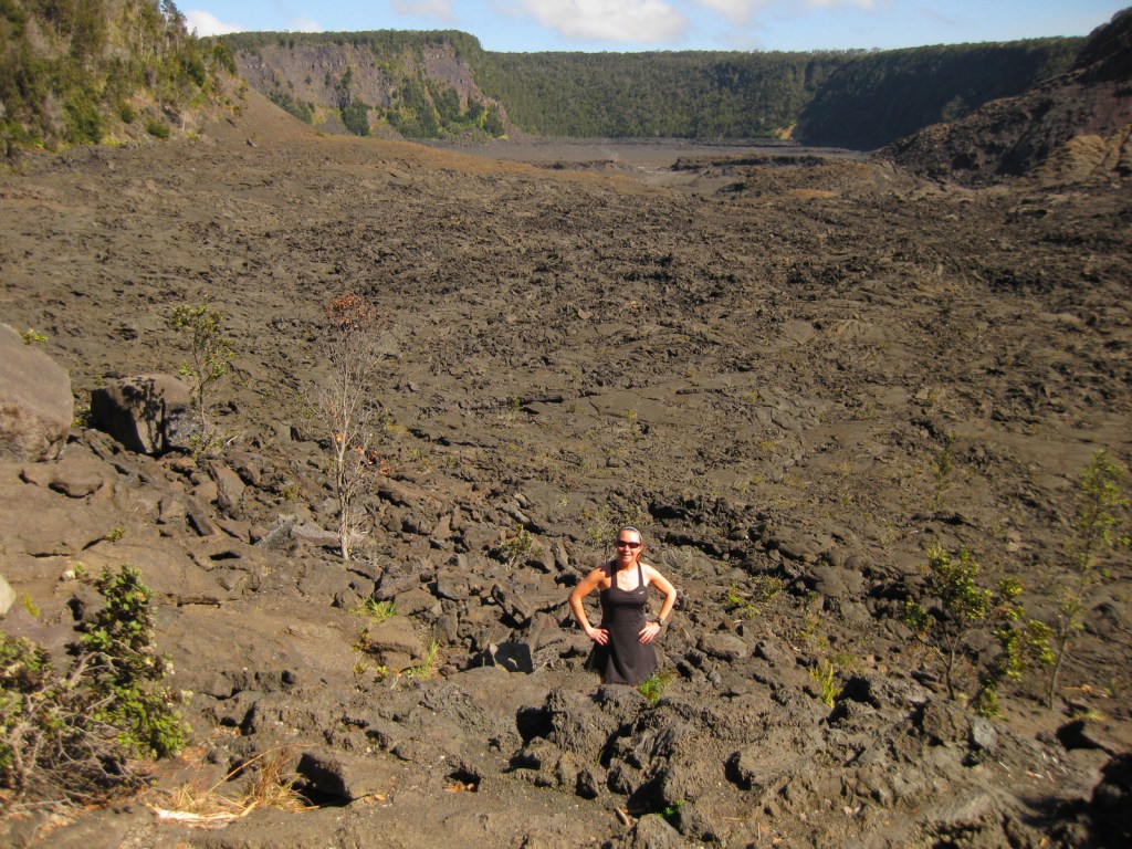
Kīlauea Iki Trail makes a four-mile loop descending 400 feet to the bottom of the crater that was a lake of lava in 1959.  It is recommended to hike it in a counter-clockwise direction to avoid ascending the steepest sections. 

Instagram-worthy Photo

Kīlauea erupted nonstop from 1983 through 2018, when lava poured in a near constant stream into the ocean, and it has been sporadically active since then.  Lava made it into the #1 spot on our Top 10 Natural Phenomena to See in the U.S.

Peak Season

Year round or whenever a volcano is active

Hours

https://www.nps.gov/havo/planyourvisit/hours.htm

Fees

$30 per vehicle or America the Beautiful pass

Road Conditions

Chain of Craters Road is paved, but can be closed during volcanic eruptions, just as half of Crater Rim Drive has been closed since March 19, 2008.  The side road to Hilina Pali Overlook is usually closed beyond Kulanaokuaiki Campground.  The one-lane, potholed Mauna Loa Road is doable with a passenger vehicle if you take it slow, as is the unpaved road into the western Kahuku Unit. 

Camping

The name of Kulanaokuaiki Campground translates as “shaking earth,” and this nine-site primitive camp has no drinking water, unlike the concessionaire-run Nāmakanipaio Campground and Cabins on Highway 11.  Even though this is Hawai‘i, bring some warm clothes as it can be quite rainy and windy, especially when the volcano is erupting; the temperature around Halemaʻumaʻu Crater did not rise above 59°F all day during our 2023 visit.

Related Sites

Pu‘uhonua o Honaunau National Historical Park (Hawai‘i)

Kaloko-Honokohau National Historical Park (Hawai‘i)

Pu’ukohola Heiau National Historic Site (Hawai‘i)

Explore More – When was the 115,788-acre Kahuku Unit added to the National Park?

This design we created to celebrate Hawai’i Volcanoes National Park is available on a variety of products at Cafe Press
We designed this ‘ohi’a lehua logo for the park available on Amazon.com

We are a participant in the Amazon Services LLC Associates Program, an affiliate advertising program designed to provide a means for us to earn fees by linking to Amazon.com and affiliated sites.

Inyo National Forest

Inyo National Forest

California, Nevada

Managed by U.S. Forest Service, Pacific Southwest Region

2,048,459 acres (1,948,726 federal/ 99,733 other)

Website: https://www.fs.usda.gov/inyo

Overview

Inyo National Forest was established by President Teddy Roosevelt in 1907 to accommodate the Los Angeles Aqueduct, so it is mostly sagebrush slopes without much dense forest cover.  We added it to our Top 10 Movies Filmed in National Forests after reading its history as a filming location.  Inyo National Forest offers the shortest route to Mt. Whitney, the tallest peak in the contiguous U.S. at 14,495 feet in elevation.  Its proximity to Badwater Basin (282 feet below sea level) in Death Valley National Park makes its rise all the more impressive.  You will need a permit to summit, since this popular peak lies within Sequoia National Park.  One added benefit is you will learn all about how to use a “W.A.G. bag.”  In addition to accessing the eastern Sierra Nevada (see Best Trail), Inyo National Forest also offers a portal to the beautiful White Mountains along the California-Nevada border (see Must-Do Activity) and 800,000 acres of designated Wilderness. 

Highlights

Mono Basin National Scenic Area (see our blog post), Lee Vining Canyon Scenic Byway, Tioga Pass, Ancient Bristlecone Pine Forest, Convict Lake, Hot Creek Geologic Site, Mammoth Lakes, Minaret Summit Vista, Crystal Lake, Mt. Whitney Trail, Minaret Falls, Pacific Crest National Scenic Trail

Must-Do Activity

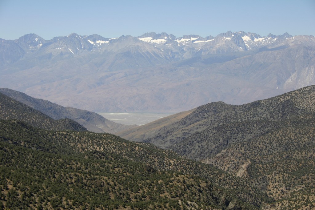
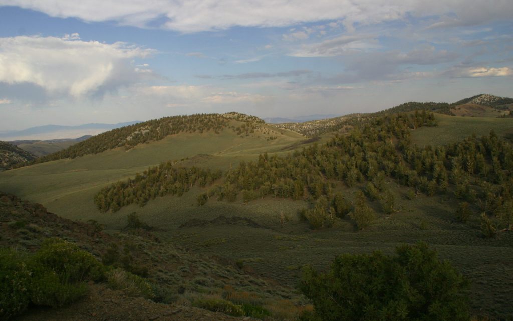
In the White Mountains, a paved road leads to the U.S. Forest Service visitor center at the Ancient Bristlecone Pine Forest, where a 4.5-mile loop trail through the Methuselah Grove passes one live Great Basin bristlecone pine tree recorded at over 5,000 years of age.  That ranks it as the oldest living single-stem tree on the planet based on annual tree-ring measurements.  You can continue to drive above 11,000 feet in elevation along a narrow gravel road famous for puncturing tires (so bring a spare).  The route offers awesome views of the Owens Valley and Mt. Whitney, then takes you to the Patriarch Grove, a wonderful park of gnarled Great Basin bristlecone pine trees surrounded by snow throughout the summer. 

Best Trail

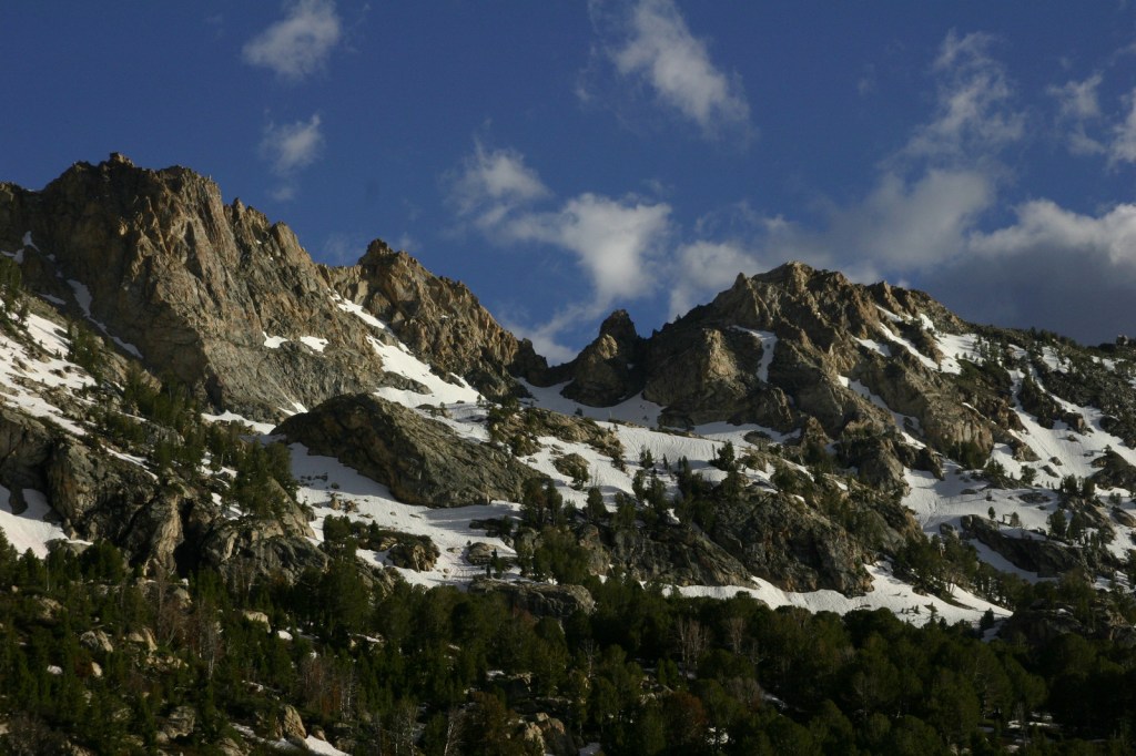
Onion Valley Road west of Independence dead ends at the trailhead for Kearsarge Pass in the Sierra Nevada.  The trail is a series of endless switchbacks that lead past beautifully twisted foxtail pines and unbelievably blue lakes up to the 11,823-foot pass at the boundary with Kings Canyon National Park.  The view from the pass is worth the effort, even if you do not proceed to enter the National Park, for which you need a permit to camp overnight.  John Muir called these mountains “the range of light,” and from up here you will surely see why. 

Watchable Wildlife

Inyo National Forest is on the rain-shadow side of the Sierra Nevada, so it generally receives less precipitation throughout the year than the western slopes, especially at lower elevations.  In the conifer forests of the mountains look for mule deer, black bears, weasels, martens, mountain lions, and bobcats.  California quail, mountain quail, sooty grouse, and wild turkeys are common game birds.  Watch the skies for raptors like bald eagles, ospreys, red-tailed hawks, and turkey vultures. 

Instagram-worthy Photo

Sun-streaked and wind-blasted branches of bristlecone pine trees twist in backbreaking curls, stretching up towards the deep blue skies above 10,000 feet elevation.

Peak Season

Summer

Fees

There are no day use fees to our knowledge.

Road Conditions

The road is paved to the trailhead for the 4.5-mile loop through the Methuselah Grove in the Ancient Bristlecone Pine Forest.  The unpaved road beyond is famous for puncturing tires (so take it slow and bring a spare) and retains snow late into the summer.  A shuttle ticket or camping permit is required to drive into the National Forest west of the ski resort town of Mammoth Lakes to access Devils Postpile National Monument.

Camping

Grandview Campground near the Ancient Bristlecone Pine Forest lives up to its name.  There is a campground at Whitney Portal Trailhead and two on Onion Valley Road on the way to the trailhead for Kearsarge Pass (plus some epic dispersed campsites). 

Wilderness Areas

Ansel Adams Wilderness (also in Sierra National Forest and Devils Postpile National Monument)

Boundary Peak Wilderness

Golden Trout Wilderness (also in Sequoia National Forest)

Hoover Wilderness (also in Toiyabe National Forest)

Inyo Mountains Wilderness

John Muir Wilderness (also in Sierra National Forest)

Owens River Headwaters Wilderness

South Sierra Wilderness (also in Sequoia National Forest)

White Mountains Wilderness

Related Sites

Humboldt National Forest (Nevada)

Yosemite National Park (California)

Manzanar National Historic Site (California)

Nearest National Park

Kings Canyon

Conifer Tree Species

Great Basin bristlecone pine, foxtail pine, Jeffrey pine, ponderosa pine, lodgepole pine, Douglas-fir, California red fir, white fir, incense-cedar

Flowering Tree Species

quaking aspen, greenleaf manzanita, sagebrush

Explore More – What 1973 film starring Clint Eastwood was filmed in Inyo National Forest?

Learn more about this and the 154 other National Forests in our new guidebook Out in the Woods

Humboldt National Forest

Humboldt National Forest

Nevada

Managed by U.S. Forest Service, Intermountain Region

2,618,165 acres (2,401,079 federal/ 217,086 other)

Website: https://www.fs.usda.gov/htnf

Overview

Ruby Mountains National Forest was established on May 3, 1906 and two years later it was joined with Independence National Forest to create Humboldt National Forest.  In 1995, Humboldt and Toiyabe National Forests combined their 6.3-million acres to become the largest National Forest outside Alaska.  Spread across separate mountain ranges that rise above the Great Basin Desert, Humboldt National Forest consists of the more northeasterly sections of the two National Forests.  Much of its acreage in the Snake Range was claimed as part of Great Basin National Park in 1986, but it still encompasses 12,050-foot Mt. Moriah. 

Highlights

Lamoille Canyon Scenic Byway, Ruby Mountains, Success Loop Drive, Angel Lake, Currant Mountain, Santa Rosa Range, Three Day Creek Trail, Ruby Crest National Recreation Trail

Must-Do Activity

The Ruby Mountains south of Interstate 80 near Elko are perhaps the most accessible area, with roads dead-ending at the gorgeous Angel Lake Campground and after 12 miles on the paved Lamoille Canyon Scenic Byway.  West of Elko on Interstate 80, the Bureau of Land Management (BLM) runs an excellent visitor center dedicated to the California National Historic Trail.  Colorful displays and sculptures make this one of the best government-run museums in the country and admission is free.  It is situated near where the Hastings Cutoff reconnected with the main California Trail following the Humboldt River.  The Hastings Cutoff skirted the eastern edge of the Ruby Mountains and was utilized by the infamous Donner party in 1846.  This same route that crossed Overland Pass was later part of the Pony Express Trail.

Best Trail

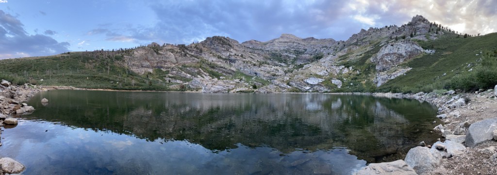
Starting at the end of Lamoille Canyon Scenic Byway, the 43-mile-long Ruby Crest National Recreation Trail passes Dollar and Lamoille Lakes as it steeply climbs to Liberty Pass.  You do not need to hike far to appreciate the beauty of the glacier-carved valley ringed by jagged alpine peaks.  The trail ends at Harrison Pass where a road still uses the same route that the Bidwell-Bartleson party took in 1841.  There are long stretches of the trail that do not have access to water, including a ten-mile section from North Furlong Lake to Overland Lake.

Watchable Wildlife

More than 85% of Nevada is federally-owned land run mostly by the military and BLM.  That acreage also includes Ruby Lake and Sheldon National Wildlife Refuges, two of several large refuges in the state.  The lakes there and in Humboldt National Forest provide habitat for trout and other fish, as well as migratory birds like Canada geese and white pelicans.  Chukars and Himalayan snowcocks are two introduced Asian bird species that have become popular targets for hunters.  The steep mountains provide thermals for soaring raptors like red-tailed hawks, Swainson’s hawks, and turkey vultures.  Due to the extreme elevation gradients in the basin and range topography, mammals include desert dwellers like kangaroo rats and alpine residents like American pikas, in addition to the more commonly seen mule deer and coyotes.

Instagram-worthy Photo

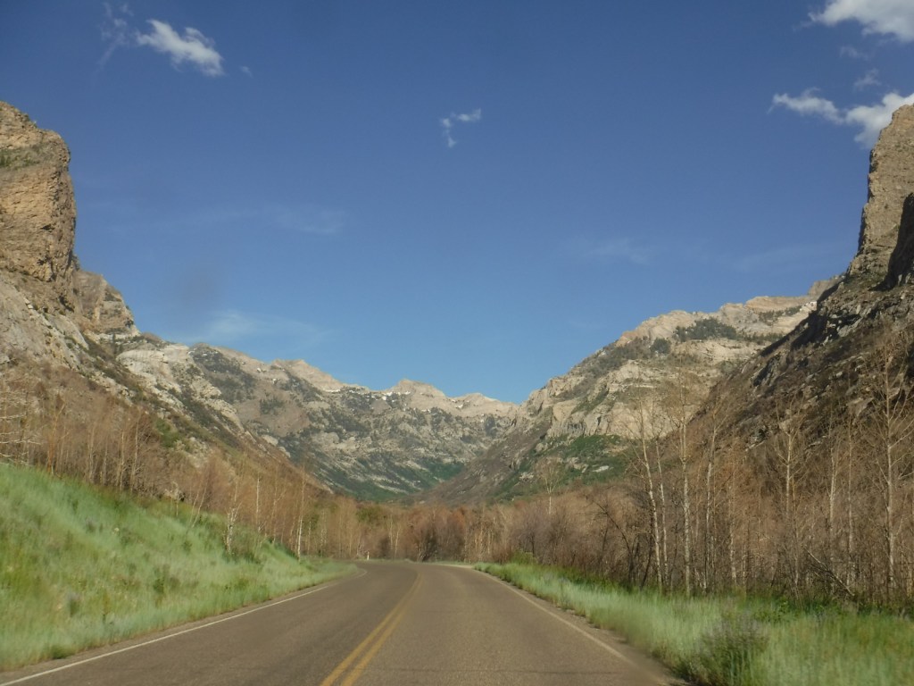
At the end of the 12-mile paved Lamoille Canyon Scenic Byway, you are surrounded by jagged mountains and at the beginning of the 43-mile-long Ruby Crest National Recreation Trail.

Peak Season

Summer

Fees

$5 day-use fee at Angel Lake

Road Conditions

Lamoille Canyon Scenic Byway is paved and the unpaved road to Angel Lake Campground is in good shape.

Camping

The gorgeous Angel Lake Campground made our list of the Top 10 Campgrounds in National Forests, plus there are two designated campgrounds and a couple dispersed campsites along Lamoille Canyon Scenic Byway.

Wilderness Areas

Bald Mountain Wilderness

Currant Mountain Wilderness

East Humboldt Wilderness

Grant Range Wilderness

High Schells Wilderness

Jarbidge Wilderness

Mt. Moriah Wilderness (also managed by BLM)

Quinn Canyon Wilderness

Red Mountain Wilderness

Ruby Mountains Wilderness

Santa Rosa-Paradise Peak Wilderness

Shellback Wilderness

White Pine Range Wilderness

Related Sites

Toiyabe National Forest (Nevada-California)

City of Rocks National Reserve (Idaho)

Lassen Volcanic National Park (California)

Nearest National Park

Great Basin

Conifer Tree Species

Great Basin bristlecone pine, ponderosa pine, Engelmann spruce, California red fir, white fir

Flowering Tree Species

quaking aspen, greenleaf manzanita, sagebrush

Explore More – What was the country of origin of Alexander von Humboldt, a scientist who travelled extensively in the Americas between 1799 and 1804?

Learn more about this and the 154 other National Forests in our new guidebook Out in the Woods

Helena National Forest

Helena National Forest

Montana

Managed by U.S. Forest Service, Northern Region

1,175,125 acres (984,558 federal/ 190,567 other)

Website: https://www.fs.usda.gov/hlcnf

Overview

Helena National Forest surrounds Montana’s capital city of Helena, encompassing several mountain ranges.  The Big Belt Mountains were the site of the of the 1949 Mann Gulch Fire, which killed 13 smokejumpers who were immortalized in Norman Maclean’s classic book Young Men and Fire (see our Top 10 Non-Fiction Books on National Forests).  There is a Mann Gulch Memorial located in Meriwether Campground.  Much of the National Forest is grassland and sagebrush, with conifer trees dominating the canyons and mountain slopes.  In the winter, snowmobiling, snowshoeing, and cross-country skiing are popular pastimes.

Highlights

Gates of the Mountains, Mann Gulch Memorial, Lewis and Clark National Historic Trail Interpretive Center, Gypsy Lake, Crow Creek Falls, Elkhorn Mountains, Blackfoot Canyon, Red Mountain, Refrigerator Canyon, Hanging Valley National Recreation Trail, Meriwether Canyon Trail

Must-Do Activity

Meriwether Lewis named the Gates of the Mountains on July 19, 1805, and today a two-hour jet boat tour on the Missouri River details the history of the Corps of Discovery, American Indian pictographs, the Mann Gulch Fire, and the collapse of Hauser Dam.  North of Helena on Interstate 15 in Great Falls is the Lewis and Clark National Historic Trail Interpretive Center, which is run by the U.S. Forest Service.

Best Trail

Refrigerator Canyon is less than ten feet wide at its narrowest point, where towering 200-foot limestone cliffs keep it cool and breezy throughout the summer.  The trailhead is accessed by driving 12 miles of washboard road that turns left off paved York Road just after crossing near the dam that forms Hauser Lake on the Missouri River.  It is a short quarter-mile hike to reach the canyon’s pinch point that was full of rock climbers during our visit.  The route then gets steeper, gaining 1,100 feet in two miles and providing excellent mountain views.  The trail eventually levels out and continues for another seven miles past Bear Prairie in the Gates of the Mountains Wilderness.  It can be connected to the Meriwether Canyon Trail, which dead ends at the Missouri River 18 miles from the Refrigerator Canyon Trailhead.

Watchable Wildlife

Grizzly bears can be found in the Scapegoat Wilderness in the northwest part of Helena National Forest where it borders Lewis and Clark National Forest (considered part of the massive Bob Marshall Wilderness complex connecting to Glacier National Park).  Other predators include black bears, gray wolves, wolverines, ermine, mountain lions, bobcats, and Canada lynx.  River otters and beavers can be found on the Missouri River.  Grazing ungulates commonly seen are elk, moose, mule deer, and pronghorn, in addition to bighorn sheep and mountain goats at higher elevations.  Trout streams and lakes provide fishing opportunities for humans, as well as bald eagles and ospreys.

Instagram-worthy Photo

You might see rock climbers blocking narrow Refrigerator Canyon, but be sure to continue through on the steep trail for beautiful views of the Gates of the Mountains Wilderness.

Peak Season

Summer

Fees

None

Road Conditions

The washboard road back to Refrigerator Canyon was in good enough shape for our passenger vehicle.

Camping

A Mann Gulch Memorial is located in Meriwether Campground, plus there are numerous other campgrounds and dispersed campsites located throughout the National Forest’s network of unpaved roads.

Wilderness Areas

Gates of the Mountains Wilderness

Scapegoat Wilderness (also in Lewis and Clark National Forest)

Related Sites

Beaverhead National Forest (Montana)

Deerlodge National Forest (Montana)

Flathead National Forest (Montana)

Nearest National Park

Glacier

Conifer Tree Species

lodgepole pine, ponderosa pine, limber pine, whitebark pine, Rocky Mountain juniper, Douglas-fir, alpine larch, subalpine fir

Flowering Tree Species

quaking aspen, balsam poplar, narrowleaf cottonwood, Rocky Mountain maple, paper birch, willow, red-osier dogwood, choke cherry

Explore More – Before it changed its name to Helena in 1864, what was the name of the gold mining camp that became Montana’s state capital?

Learn more about this and the 154 other National Forests in our guidebook Out in the Woods

Gunnison National Forest

Gunnison National Forest

Colorado

Managed by U.S. Forest Service, Rocky Mountain Region

1,766,941 acres (1,671,941 federal/ 95,000 other)

Website: https://www.fs.usda.gov/gmug

Overview

Gunnison National Forest surrounds the town of Crested Butte, a prime destination for mountain bikers and winter sports enthusiasts.  It also shares mountainous borders and four of its eight designated Wilderness areas with neighboring Rio Grande, San Isabel, Uncompahgre, and White River National Forests.  It was originally called the Cochetopa Forest Reserve, created by President Teddy Roosevelt on June 13, 1905.  It is now co-managed with the Grand Mesa and Uncompahgre National Forests.

Highlights

Silver Thread Scenic Byway, Slumgullion Slide, Mt. Emmons Iron Bog, Taylor Park Reservoir, San Luis Peak, Fossil Ridge Recreation Area, Gothic Research Natural Area, Judd Falls, Alpine Tunnel, Mineral Creek Trail

Must-Do Activity

Much of the area was mined in the past, so there are many miles of four-wheel-drive roads to explore over mountain passes like Tomichi, Hancock, Taylor, Tincup, and Pearl Pass.  Near the Victorian-era town of Lake City, the famous Slumgullion Slide crosses Highway 149 where a massive earth flow created Lake San Cristobal about 700 years ago.  Visible from a pullout at Windy Point, a secondary flow of sludgy montmorillonite continues to move trees downslope to this day.

Best Trail

Just past the Bureau of Land Management (BLM) recreation site at Needle Rock, a gravel road enters Gunnison National Forest where two trailheads afford entrance into the West Elk Wilderness.  Throughline Trail heads northeast toward 12,719-foot Mt. Gunnison, but it can be connected with the Lone Pine Trail at the 3.5-mile point to form a loop with Sink Creek Trail (a total of 13 miles roundtrip).  We hiked a portion of Sink Creek Trail in late September when the aspen trees were changing colors and found a nice place for dispersed camping near the South Smith Fork Trailhead (high-clearance vehicle recommended).

Watchable Wildlife

There are presumably elk in the mountainous West Elk Wilderness, as well as mule deer and bighorn sheep (a herd overwinters near the junction of the East and Taylor Rivers).  Mountain lions, black bears, and pine martens also inhabit Gunnison National Forest.  On our hikes we came across a gopher snake and a dam built by a beaver.  Watch the skies for raptors like golden eagles, red-tailed hawks, and peregrine falcons.

Instagram-worthy Photo

A good gravel road east of Crawford leads into Gunnison National Forest past Needle Rock Outstanding Natural Area, run by the Bureau of Land Management (BLM).  The landmark is a 28-million-year-old volcanic plug which can be explored on a steep trail that does not completely circle it because of private land.

Peak Season

Summer and fall

Fees

None

Road Conditions

Several paved highways crisscross the National Forest, including a stretch of the Silver Thread Scenic Byway.  Not every back road requires a high-clearance vehicle, as good graded roads go over Kebler Pass, Ohio Pass, and Cumberland Pass into the town of Pitkin.  Popular four-wheel-drive routes include Pearl Pass Road, Old Monarch Pass Road, and Schofield Pass north into Crystal Canyon. 

Camping

There are many nice campgrounds in Gunnison National Forest, including Slumgullion Campground at 11,200 feet, Lost Lake Campground next to a wildflower meadow, and Dorchester Campground on the road to 11,928-foot Taylor Pass (accessible by four-wheel-drive vehicles).  Dispersed camping is also allowed throughout the National Forest; we found a nice spot near the South Smith Fork Trailhead (high-clearance vehicle recommended).

Wilderness Areas

Collegiate Peaks Wilderness Area (also in San Isabel National Forest)

Fossil Ridge Wilderness

La Garita Wilderness (also in Rio Grande National Forest)

Maroon Bells-Snowmass Wilderness (also in White River and San Isabel National Forests)

Powderhorn Wilderness (also on BLM land)

Raggeds Wilderness (also in White River National Forest)

West Elk Wilderness

Uncompahgre Wilderness (also in Uncompahgre National Forest)

Related Sites

Arapaho National Forest (Colorado)

Colorado National Monument (Colorado)

Grand Mesa National Forest (Colorado)

Nearest National Park

Black Canyon of the Gunnison

Conifer Tree Species

Engelmann spruce, subalpine fir, Douglas-fir, ponderosa pine, lodgepole pine, two-needle pinyon pine, Rocky Mountain juniper

Flowering Tree Species
Gambel oak, quaking aspen, Utah serviceberry, red elderberry, sagebrush

Explore More – Who was John Gunnison, the Gunnison River’s namesake?

Learn more about this and the 154 other National Forests in our new guidebook Out in the Woods