Tag Archives: history

Yosemite National Park

Yosemite National Park

California

Managed by National Park Service

Established 1890

747,956 acres

Website: nps.gov/yose

Overview

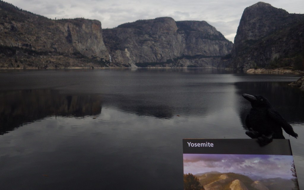
Given its 4-million annual visitors, it can be hard to practice social distancing at Yosemite National Park.  In the summer, it can even be difficult to find parking in bustling Yosemite Valley.  The legendary valley is home to El Capitan and Half Dome, rock formations known around the world, as well as countless waterfalls.  There are places to find solitude in the popular park, though.

Know someone who loves National Parks? Gift them our travel guide A Park to Yourself: Finding Solitude in America’s 63 National Parks

Highlights

Yosemite Valley, Glacier Point, Tuolumne Meadows, Mariposa Grove

Must-Do Activity

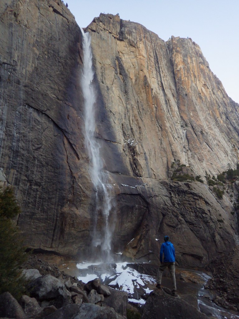
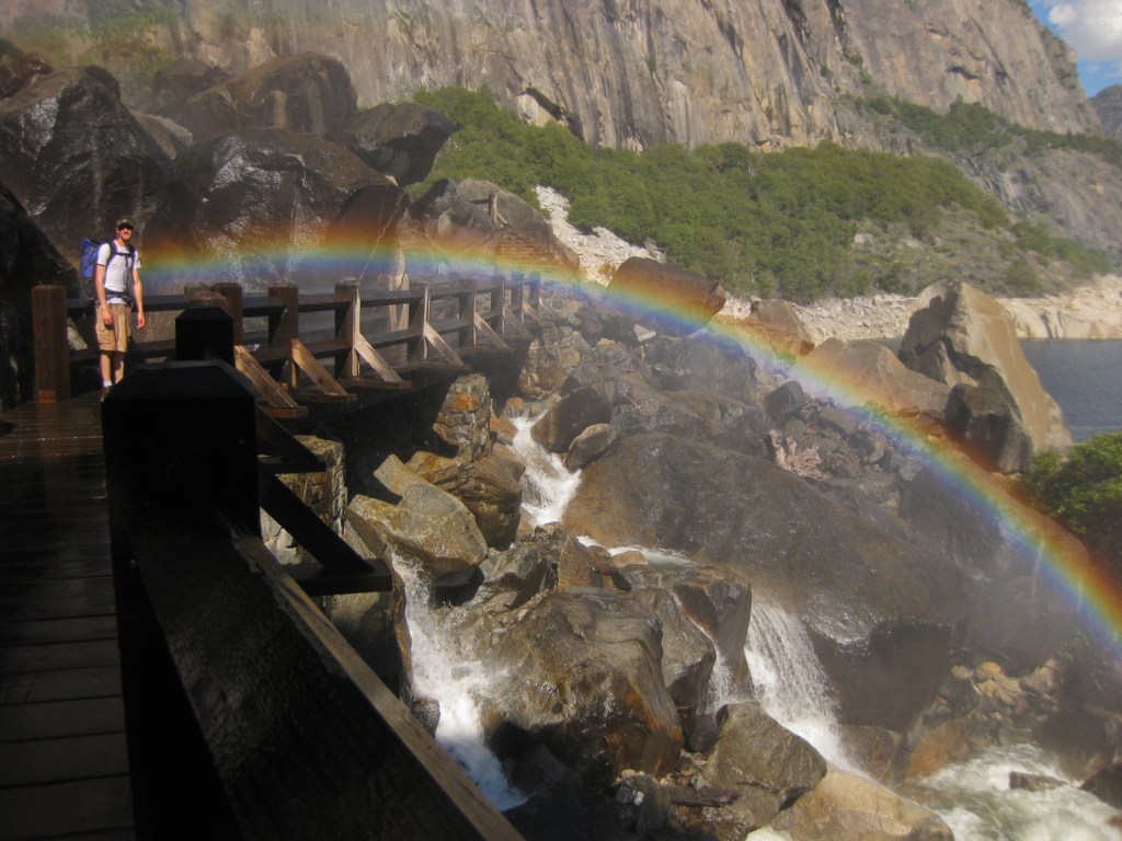
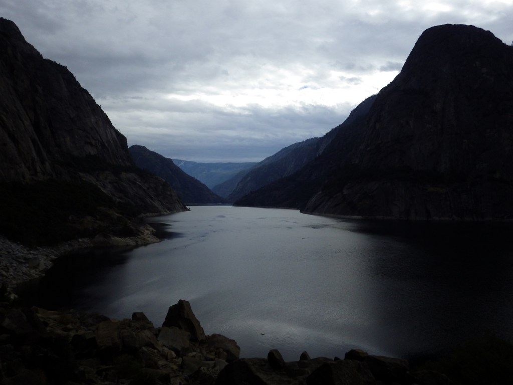
When entering Yosemite Valley on Highway 41 from the south, your first sight of the valley is stunning upon emerging from a long tunnel.  You simply have to stop at the iconic Tunnel View parking area.  Although the forest here is denser than in the past, the scene has not changed much since President Lincoln signed the bill to preserve this area in 1864.  While the Yosemite Valley can get incredibly busy during peak tourist season, hike a mile up a trail and you might find a solitary place to enjoy one of the numerous waterfalls.

Best Trail

Formerly a paved tram route, the trail through the Mariposa Grove of giant sequoia trees is a major highlight outside Yosemite Valley.  We especially enjoyed snowshoeing there in the winter.

Instagram-worthy Photo

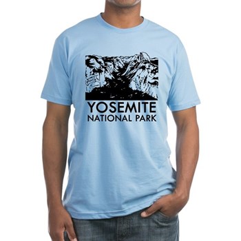
From May to November, you can drive up to Glacier Point for great views into Yosemite Valley from the cliffs above.  We chose this overlook for our original logo of Yosemite National Park (see below).

Peak Season

Summer

Hours

https://www.nps.gov/yose/planyourvisit/hours.htm

Fees

$35 per vehicle or America the Beautiful pass

Road Conditions

All roads are paved, even the one that goes over 9,945-foot high Tioga Pass, which crosses the Sierra Nevada and is closed in the winter (as is Glacier Point Road, though it remains open to cross-country skiers).

Camping

There are multiple campgrounds within the park and some take reservations, but there are no RV hookups except outside the park.

Related Sites

Sequoia National Park (California)

Devils Postpile National Monument (California)

Whiskeytown National Recreation Area (California)

This design we created to celebrate Yosemite National Park is available on a variety of products at Cafe Press and Amazon.

Explore More – John Muir wrote extensively about the Yosemite Valley and Sierra Nevada, but many of his readers do not know he was an immigrant to America; in what country was he born?

Know someone who loves National Parks? Gift them our travel guide A Park to Yourself: Finding Solitude in America’s 63 National Parks

Cumberland Island National Seashore

Overview

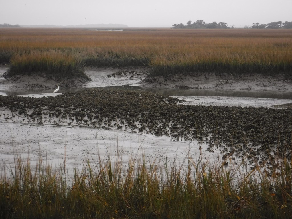
Off the coast of Georgia, Cumberland Island National Seashore was established in 1972 and is only accessible by boat.  While kayaks and private boats are allowed, most visitors arrive by ferry from St. Marys (reservations recommended).  Much of the northern half of the island is designated wilderness with backpacking campsites dispersed near places where freshwater is available for filtration.  Bicycles can be rented once you arrive on the island (they are not allowed on the ferry) and are permitted on the many miles of roads, but not on the trails or beach. 

Highlights

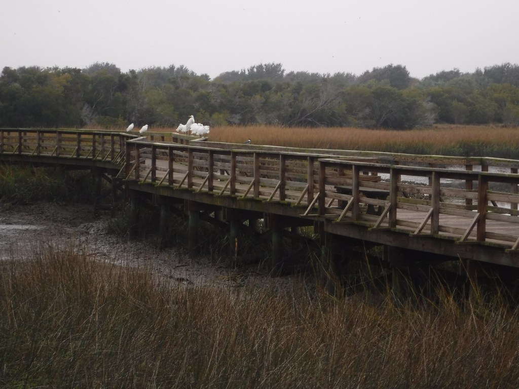
Dungeness Ruins, Ice House Museum, Marsh Boardwalk, First African Baptist Church

Must-Do Activity

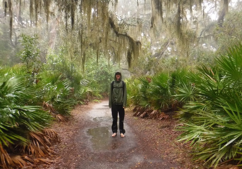
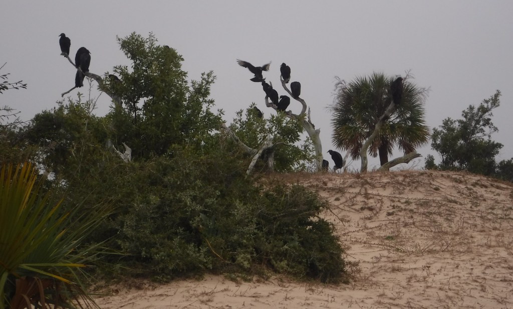
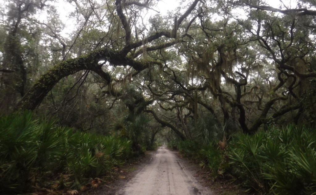
While it is fun to spend time beachcombing, what really sets Cumberland Island apart are the trails that cut through the maritime forest of twisty live oak trees.  Watch for feral horses, white-tailed deer, armadillos, turkeys, and other birds along the way.  Alligators can also be seen in the freshwater ponds.  Fossilized shark teeth are commonly found on the island, especially on the roads.  Guided tours in vans can be reserved, which can be a good option on rainy days or if you want to make it to the 1890s African-American settlement at the northern end of the island.

Best Trail

The island has more than 50 miles of trails and you can form loops of varying lengths by walking the beach and the inland Parallel Trail.  The trails are very well packed though sandy, and not as hard to walk on as we imagined.  The only deep sand we encountered was on the designated dune crossings between the beach and the inland forest.

Instagram-worthy Photo

Dungeness is the name of a mansion built by the Carnegie family that burned down in 1959.  It was constructed atop the ruins of a house of the same name previously owned by Revolutionary War General Nathanael Greene.

Peak Season

Summer

Hours

https://www.nps.gov/cuis/planyourvisit/hours.htm

Fees

$10 per person or America the Beautiful pass, plus the charges for ferry tickets and overnight campsites

Road Conditions

Roads are packed sand and heavily rutted, but unless you own property on the island or take the van tour you will not have to worry about their spine-rattling condition.

Camping

Reservations are required for all overnight stays, including at the privately-owned inn.  Sea Camp offers cold showers and potable water a moderately short walk from the ferry dock.  There are numerous backcountry campsites, but all camping is limited to seven days.

Related Sites

Fort Frederica National Monument (Georgia)

Timucuan Ecological and Historic Preserve (Florida)

Cape Lookout National Seashore (North Carolina)

Explore More – Related to American Quarter Horses, Tennessee Walkers, Arabians, and Paso Fino, what is the total population of feral horses living on Cumberland Island?

Blackstone River Valley National Historical Park

Overview

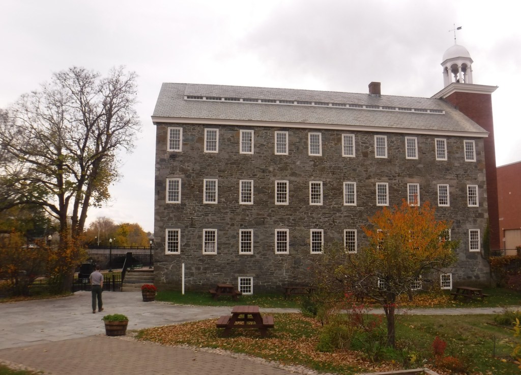
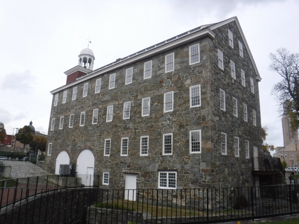
Roger Williams National Memorial used to be the only National Park Service (NPS) site in Rhode Island, but in 2014 Blackstone River Valley was upgraded from an affiliated National Heritage Corridor to a National Historical Park.  It commemorates the industrial revolution that changed the landscape of America during the 1800s, as well as the immigration of factory workers that changed its face.  Another NPS-affiliated point of interest in the tiny state is Touro Synagogue National Historic Site (admission charged) in Newport.

Highlights

Slater Mill Historic Site, Blackstone River State Park, Statue of Hope Fountain

Must-Do Activity

Formerly known as the John H. Chafee Blackstone River Valley National Heritage Corridor, this NPS unit remains a partnership between government agencies, non-profits, and businesses in Massachusetts and Rhode Island.  Its centerpiece is the nation’s first successful water-powered cotton-spinning factory: Slater Mill Historic Site in Pawtucket, Rhode Island, which offers free ranger-guided tours.  By 1880, this “hardest working river” was one of the most polluted in the country, but has recovered so that canoeists can float portions of its 46-mile length.

Best Trail

Blackstone River State Park has a free museum (inside the Kelly House) and a section of the canal that followed the river.  There are 3.5 miles of the 14-mile (of a planned 48) paved bikeway along the canal towpath within this Rhode Island park.  Another section of trail lies within Blackstone River and Canal Heritage State Park near River Bend Farm in Massachusetts.

Instagram-worthy Photo

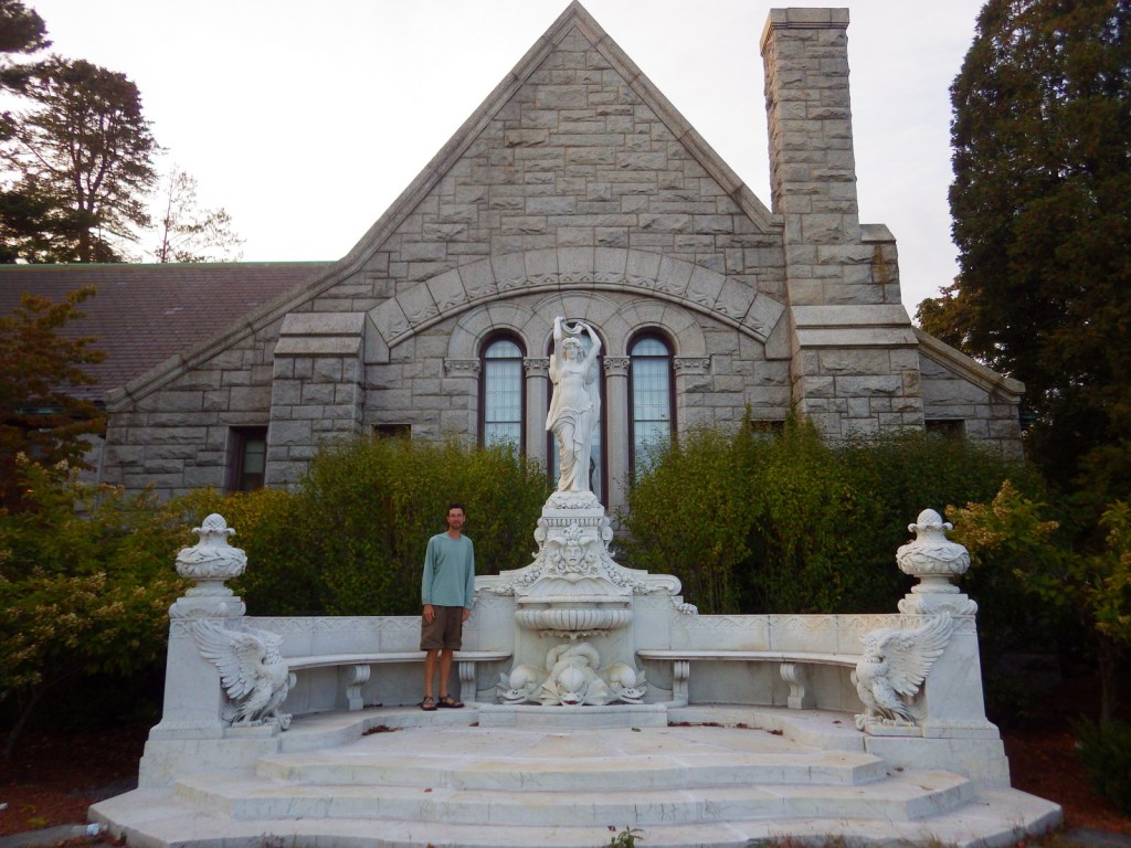
The Statue of Hope Fountain was dedicated on November 12, 1904 in the town of Hopedale, Massachusetts.  It was carved from Carrara marble by Waldo Story and was once considered the “finest drinking fountain in the United States.” We found it a little creepy looking.

Peak Season

Summer

Hours

https://www.nps.gov/blrv/planyourvisit/hours.htm

Fees

None

Road Conditions

All major roads paved

Camping

Rhode Island State Parks manages several campgrounds, including George Washington State Campground in Chepachet.

Related Sites

Roger Williams National Memorial (Rhode Island)

New Bedford Whaling National Historical Park (Massachusetts)

Lowell National Historical Park (Massachusetts)

Explore More – When did English immigrant Samuel Slater take over a failed mill to start the first successful water-powered cotton-spinning factory in America?

Castillo de San Marcos National Monument

Overview

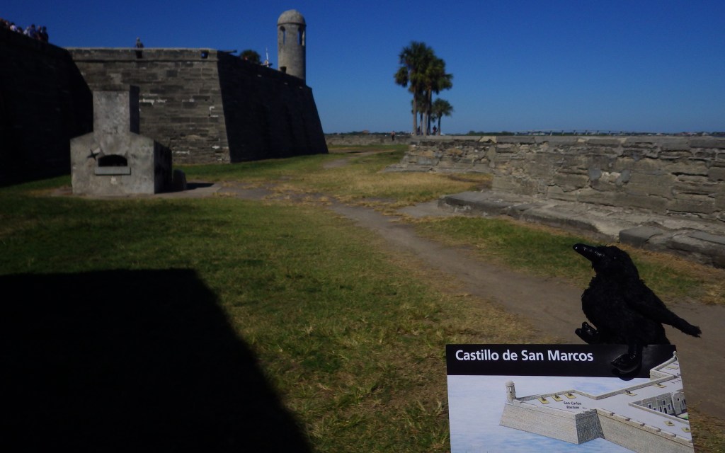
Established in 1565, St. Augustine, Florida is the oldest permanent European settlement in the continental U.S.  Its centerpiece is Castillo de San Marcos National Monument, a four-sided stone fort dating back to 1672.  In 1702, the British army unsuccessfully besieged the Spanish fort for 50 days, but before they left they burned the entire city.  This explains why the oldest house in St. Augustine dates to this time period and why this charming coastal village is still laid out on a grid of narrow streets, as it was one of the first master-planned communities in America.

Highlights

Historic fort, museum, cannon demonstrations

Must-Do Activity

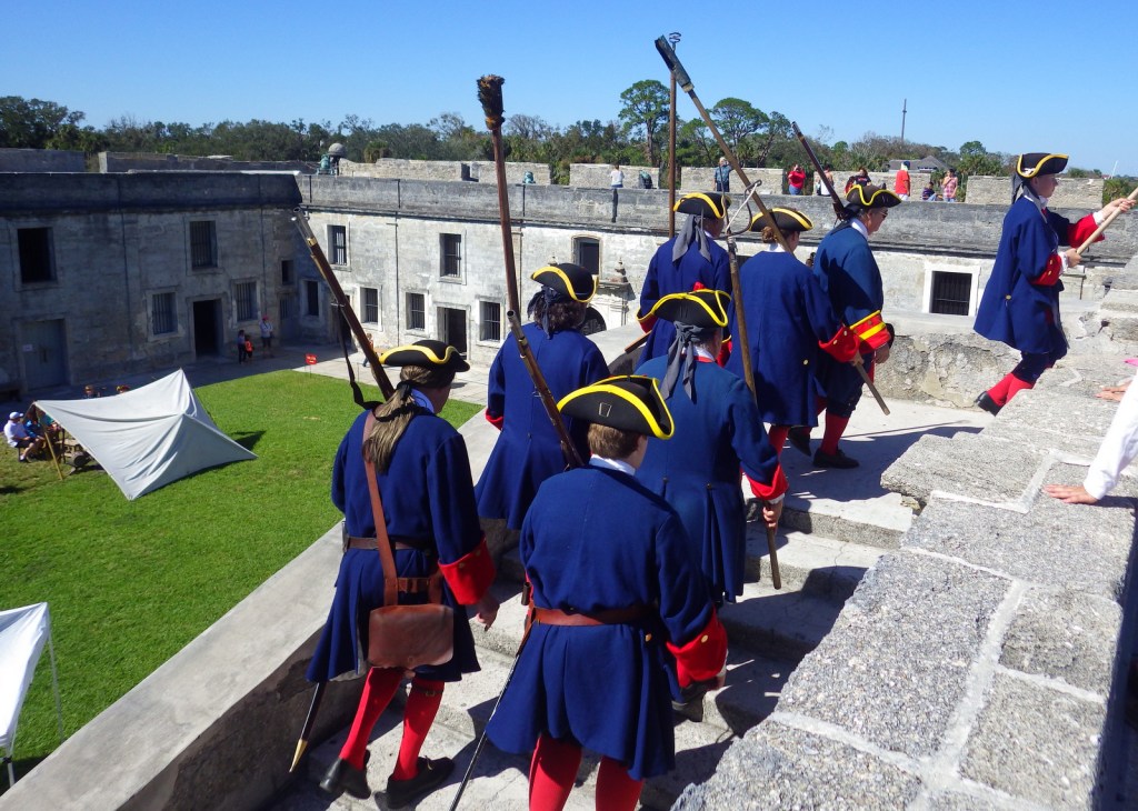
The National Park Service (NPS) charges an admission fee to enter the fort, but you can watch the cannon-firing demonstrations atop its corner bastion for free from outside.  Costumed reenactors shout orders in Spanish before firing the big cannon.  There is only one entrance to the Castillo de San Marcos across a wide moat.  Your entrance fee also allows you to explore the powder magazines and interpretive displays inside the fort’s walls.

Best Trail

None

Instagram-worthy Photo

The Castillo was renamed Fort Marion by the U.S. military in 1825, when the final changes were made to the coquina structure.  In 1924 it was named a National Monument along with nearby Fort Matanzas.

Peak Season

Winter

Hours

https://www.nps.gov/casa/planyourvisit/hours.htm

Fees

$15 per person or America the Beautiful pass

Road Conditions

Roads are paved, but there is limited pay parking at the fort, which is especially an issue on busy weekends.

Camping

Anastasia State Park is located just south of St. Augustine, Florida with access to a nice beach.

Related Sites

Fort Caroline National Memorial (Florida)

Fort Matanzas National Monument (Florida)

Dry Tortugas National Park (Florida)

Explore More – Which nation controlled the fort during the American Revolution until its conclusion in 1783 (Hint: It was called Fort St. Mark at the time)?

Fort Laramie National Historic Site

Overview

Fort Laramie National Historic Site in eastern Wyoming was originally founded in 1834 for its strategic location at the confluence of the Laramie and North Platte Rivers.  Purchased by the U.S. military in 1849, it saw its share of history as a major military post on the Oregon Trail, Pony Express, and Cheyenne-Deadwood stage route. West of the fort, stop at Oregon Trail Ruts State Historic Site and Register Cliff where pioneers left their mark along the North Platte River.

Highlights

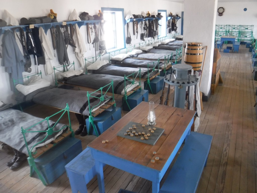
Museum, film, 1874 Cavalry Barracks, 1849 “Old Bedlam”

Must-Do Activity

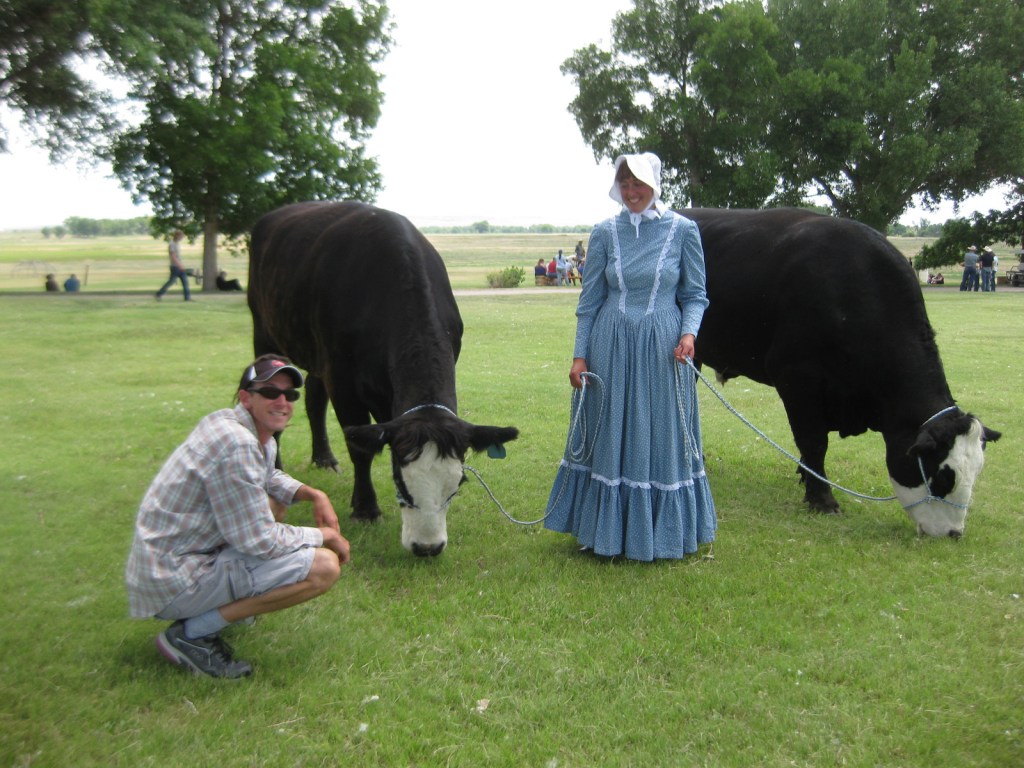
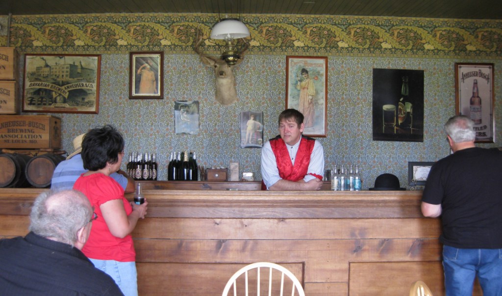
Come for the free 4th of July festivities and explore the restored buildings encircling the parade grounds, in between watching demonstrations of cannon firing and oxen plowing.  The National Park Service (NPS) employees host a variety of old-fashioned activities for kids and adults, including a three-legged race for adults.  Grab a partner and join in the fun or simply watch from the sidelines with a cold sarsaparilla, cream soda, or birch beer in your hand.  You are sure to have a good, old-fashioned good time even if you head home before the fireworks.
Best Trail

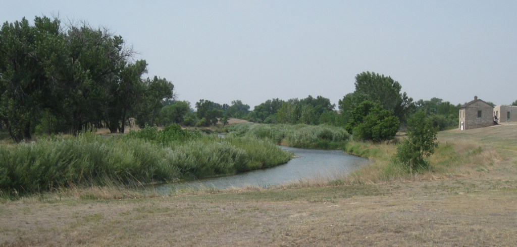
Fort Laramie was never a condensed, palisaded fort, so walking to all 11 restored structures covers quite a bit of distance (like Fort Union in New Mexico).  You can also hike along the banks of the Laramie River where the Oregon National Historic Trail once led.

Instagram-worthy Photo

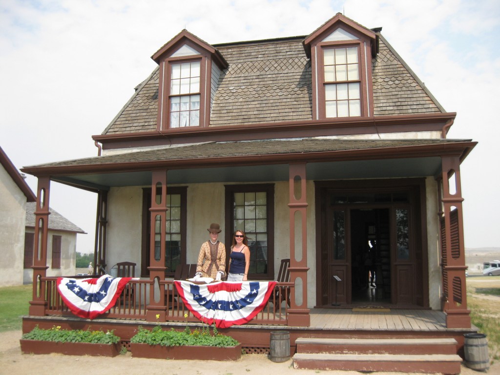
“Old Bedlam,” the former quarters of bachelor officers, dates to 1849 making it the oldest documented building in Wyoming.  The right side is now restored to appear as officers’ quarters and the left side to post headquarters in 1863 when Lt. Col. William O. Collins lived on the second floor with his wife.

Peak Season

Summer

Hours

https://www.nps.gov/fola/planyourvisit/hours.htm

Fees

None

Road Conditions

The last portion of the drive is a graded dirt road, as is the parking lot.

Camping

The town of Fort Laramie offers camping at its small municipal park, or head west to Guernsey State Park with its historic Civilian Conservation Corps (CCC) structures.

Related Sites

Scotts Bluff National Monument (Nebraska)

Bent’s Old Fort National Historic Site (Colorado)

Yellowstone National Park (Wyoming)

Explore More – What was the name of the original stockade constructed by fur traders in 1834?