Tag Archives: hiking

Sequoia National Park

Sequoia National Park

California

Managed by National Park Service

Established 1890

404,064 acres

Website: nps.gov/seki

Overview

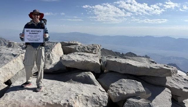
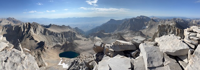
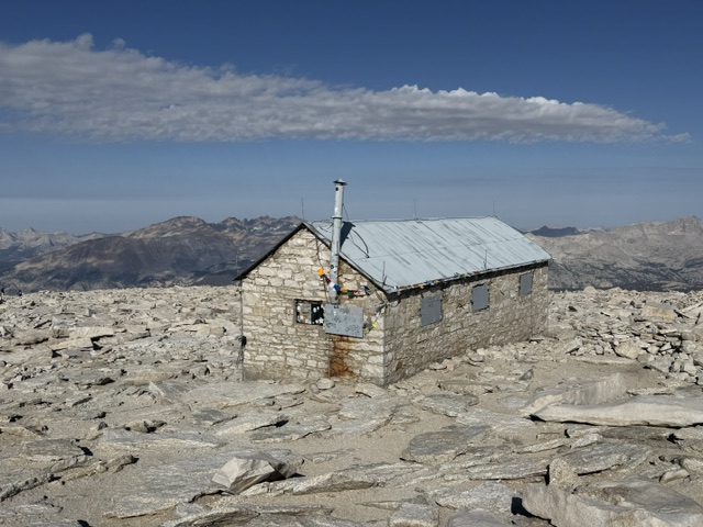
In 1890, Sequoia became the second National Park in the United States in order to protect its famous groves of giant sequoia trees, not to be mistaken for California’s coast redwoods.  The park’s hub in the Giant Forest contains the General Sherman tree, the largest by volume in the world.  Most of the park is in the High Sierra and includes Mt. Whitney, the highest point in the contiguous U.S. at 14,505 feet.  It is comanaged with Kings Canyon National Park.

Know someone who loves National Parks? Gift them our travel guide A Park to Yourself: Finding Solitude in America’s 63 National Parks

Highlights

General Sherman Tree, Moro Rock, Crystal Cave, Mt. Whitney

Must-Do Activity

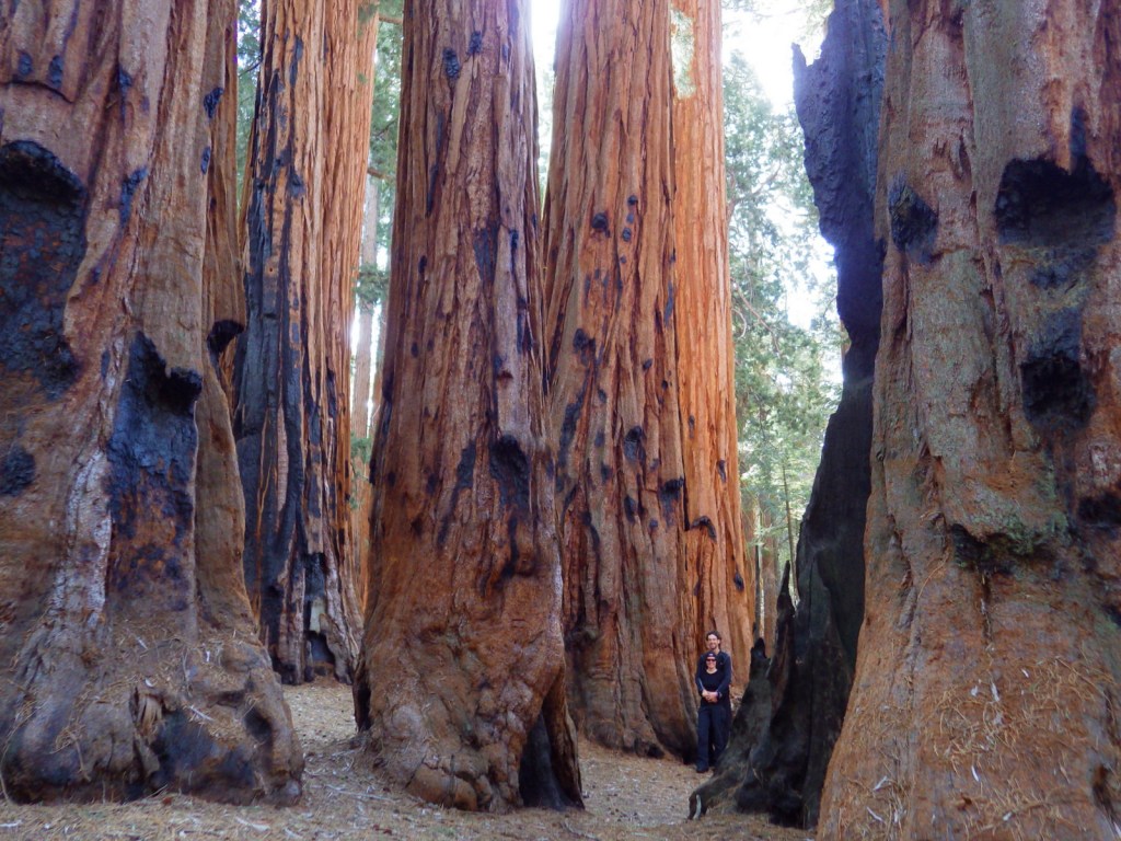
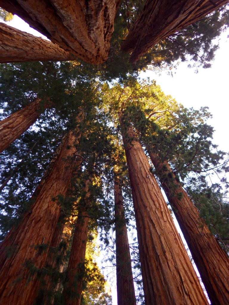
The remarkable giant sequoia tree can live over 2,000 years, reach three hundred feet in height, and grow the largest wood volume of any single-stemmed tree on the planet.  They are only found in 75 protected groves scattered throughout California’s Sierra Nevadas.  Bring your whole family to see how many people it takes arms linked to reach around the base of one of these massive trees.  With circumferences reaching over 100 feet, you are going to need a big family! 

Best Trail

Crescent Trail starts near the General Sherman tree, winds up the hill, and then connects with the Trail of the Sequoias, which passes the dense clusters of the Senate and House Groups.  It is especially nice when there is snow on the ground.

Instagram-worthy Photo

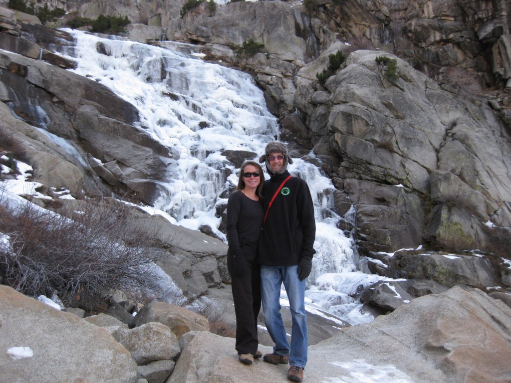
Any time of year is great to visit, but the winter is perhaps the prettiest as the snow contrasts nicely with the orange bark of the giant sequoia trees.

Peak Season

Summer due to the high elevation

Hours

https://www.nps.gov/seki/planyourvisit/hours.htm

Fees

$35 per vehicle or America The Beautiful pass

Road Conditions

Roads are paved, but steep, winding, and narrow.  The rough Mineral King Road is closed in winter.

Camping

There are several large campgrounds near the Giant Forest, as well as two on the rough road to the remote Mineral King section of the park.  All backcountry camping requires a permit and is on a quota system during the summer.

Related Sites

Yosemite National Park (California)

Giant Sequoia National Monument (California)

Kings Canyon National Park (California)


This design we created to celebrate Sequoia National Park is available on a variety of products at Cafe Press and Amazon.

Explore More – Why do park rangers recommend you wrap your car with chicken wire when you visit Mineral King?

Know someone who loves National Parks? Gift them our travel guide A Park to Yourself: Finding Solitude in America’s 63 National Parks

Sitka National Historical Park

Overview

Sitka National Historical Park offers a good introduction to the Russian and native influences on this region, as well as a forested trail past beautifully carved totem poles.  Created in 1910, it was the first National Park Service (NPS) site in Alaska, nearly 50 years before statehood.

Highlights

1843 Russian Bishop’s House, Russian Orthodox cathedral, totem poles

Must-Do Activity

Two miles of trails wind through the spruce forest passing more than a dozen totem poles and the site of Kiks.ádi Fort where the 1804 battle took place between Russian fur traders and the native Tlingit community.  To further experience the Tlingit culture, attend a traditional dance at Shee’tka Kwaan Naa Kahidi Community House. 

Best Trail

The adventurous can summit 3,354 foot Mount Verstovia for unsurpassed views of the harbor and the mountainous heart of Baranof Island.  This steep route takes all day, starting with numerous switchbacks before the trail disappears and scrambling over rocks to the top.  Also scenic, Indian River Trail is a flatter alternative.

Instagram-worthy Photo

Jagged peaks and tiny forested islands make Sitka the most beautiful spot in Southeast Alaska.  Bald eagles abound in trees around the town’s quiet boat docks, while the volcanic cone of Mount Edgecumbe sits zen-like off to the west. 

Peak Season

Summer

Hours

https://www.nps.gov/sitk/planyourvisit/hours.htm

Fees

None

Road Conditions

There are no roads to Sitka, so you have to take an airplane, cruise ship, or ferry.  The main road on Baranof Island is paved and it is less than a mile walk to access the NPS visitor center from downtown.

Camping

Campsites are available at Blue Lake down a dirt road east of town in Tongass National Forest or at Old Sitka State Historic Park near the ferry terminal.

Explore More – When did the official transfer of Alaska from Russia to the U.S.A. take place on Castle Hill in Sitka (then known as New Archangel)?

Knife River Indian Villages National Historic Site

Overview

The Mandan and Hidatsa lived and farmed side-by-side near the banks of the Missouri River for centuries before Euro-Americans arrived in search of furs, bringing smallpox and other diseases.  The Corps of Discovery led by Lewis and Clark over-wintered here in 1804-05.  Eventually the Mandan and Hidatsa were forced to abandon their villages, later joining the Arikara to form the Three Affiliated Tribes. 

Highlights

Reconstructed earthlodge, museum, riverside village sites

Must-Do Activity

Many artifacts recovered on site are displayed inside the National Park Service (NPS) visitor center, some suggesting inhabitation by Paleo-Indians as far back as 11,000 years ago.  You can even try out a hoe made from a bison scapula.

Best Trail

From the visitor center a trail leads to the Milk River, a tributary to the much larger (and more flood prone) Missouri River.  Each lump on the grass that you pass was once an earthlodge, which is easier to see in the overhead photograph on the interpretive sign.  You can drive to two other trailheads that provide access to the Missouri River and the site of Big Hidatsa Village.

Instagram-worthy Photo

There is not much evidence left of the hundreds of earthlodges that once stood in these three villages, but there is one reconstruction that visitors can enter to exemplify the spacious dwellings.  An earthlodge actually required a large amount of wood to provide structure.

Peak Season

Summer

Hours

https://www.nps.gov/knri/planyourvisit/hours.htm

Fees

None

Road Conditions

All roads paved

Camping

Sakakawea State Park is 15 miles north of this site.

Explore More – What famous traveling companions did Lewis and Clark first meet here in 1804?

Mesa Verde National Park

Overview

The impressive and numerous (around 600) cliff dwellings here were built by Ancestral Puebloans 600 to 800 years ago before their abandonment.  After a day or two at Mesa Verde, you will understand why since 1906 it has remained the only “National Park” dedicated to preserving an archaeological site.

Highlights

Chapin Museum, Spruce Tree House, Petroglyph Point Trail, Cliff Palace, Step House, annual open house with luminaria

Must-Do Activity

Purchase tickets for guided tours of the ruins at the shiny new visitor center off Highway 160 before driving 20 miles to Long House, Cliff Palace, or Balcony House (the best tour for families).   Leave time to explore Chapin Mesa Museum first, where a high-quality film introduces the history of the region.  When it finally reopens years after a rock fall, you can then take a quick but steep hike to Spruce Tree House, accessible without a paid tour, where you have the opportunity to climb down a ladder into the dim interior of a reconstructed kiva. 

Best Trail

After driving to the less-trafficked Weatherill Mesa, bike or walk the paved road to Nordenskold No. 16 Trailhead, numerous pit-houses, and Step House Loop Trail. 

Instagram-worthy Photo

We think Square Tower House is the most photogenic ruins in the park and can be viewed from an overlook off Mesa Top Loop Road.  In summer 2018, we made reservations for a special guided tour of only 10 people to enter these ruins.

Peak Season

Summer, but it can get hot with little shade atop the mesas.

Hours

https://www.nps.gov/meve/planyourvisit/hours.htm

Fees

$20 per vehicle or America The Beautiful pass

Road Conditions

All roads paved, but some are closed in winter when tours are not offered.

Camping

Morefield Campground has more than 400 campsites atop the mesa; 15 with full RV hookups.  No backcountry camping is allowed.


This design we created to celebrate Mesa Verde National Park is available on a variety of products at Cafe Press and Amazon.

Explore More – What month does the NPS host an evening open house with thousands of candle luminaria, free food, and live music?

Pipestone National Monument

Pipestone National Monument

Minnesota

Managed by National Park Service

Established 1937

282 acres

Website: nps.gov/pipe

Overview

This site is famous as a place people have come for 2,000 years to mine the red quartzite rock (also known as catlinite).  The soft sedimentary stone is relatively easy to carve into smoking pipes and effigies.  Only American Indians are allowed to quarry here today with the proper permits.

Know someone who loves exploring new National Monuments? Gift them our book Monumental America: Your Guide to All 138 National Monuments that is available for sale on Amazon.com.

Highlights

Pipestone quarries, museum, carving demonstrations, Winnewissa Falls

Must-Do Activity

April through October, you can watch American Indian carvers at the National Park Service museum demonstrate how to sculpt this soft yet durable stone into hollow pipes and other beautiful ornaments.  It is illegal to remove any rocks without a permit, but you can buy carvings in the gift shop. See where this site fits into our 7-day Minnesota road trip itinerary.

Best Trail

A 0.75-mile trail leads past historic rock quarries to Winnewissa Falls, just the spot to be on a hot summer afternoon.  The remnants of tallgrass prairie protected within the park boundaries give an idea of what this entire region might have looked like before it was converted to farms.

Instagram-worthy Photo

28 miles southwest across the border in South Dakota’s Palisades State Park where the same red quartzite rock dramatically rises above muddy Split Rock Creek and is a great place to picnic or watch rock climbers.

Peak Season

Summer, but it is open year round.

Hours

https://www.nps.gov/pipe/planyourvisit/hours.htm

Fees

None

Road Conditions

All roads paved

Camping

There is a private campground near the monument entrance and Split Rock Creek State Park is 8 miles south.

Related Sites

Grand Portage National Monument (Minnesota)

Chippewa National Forest (Minnesota)

Mississippi National River and Recreation Area (Minnesota)

Nearest National Park

Voyageurs

Explore More – Who is the famous artist that catlinite is named after?

Learn more about the other 137 National Monuments in our book Monumental America: Your Guide to All 138 National Monuments