Tag Archives: hiking

Knife River Indian Villages National Historic Site

Overview

The Mandan and Hidatsa lived and farmed side-by-side near the banks of the Missouri River for centuries before Euro-Americans arrived in search of furs, bringing smallpox and other diseases.  The Corps of Discovery led by Lewis and Clark over-wintered here in 1804-05.  Eventually the Mandan and Hidatsa were forced to abandon their villages, later joining the Arikara to form the Three Affiliated Tribes. 

Highlights

Reconstructed earthlodge, museum, riverside village sites

Must-Do Activity

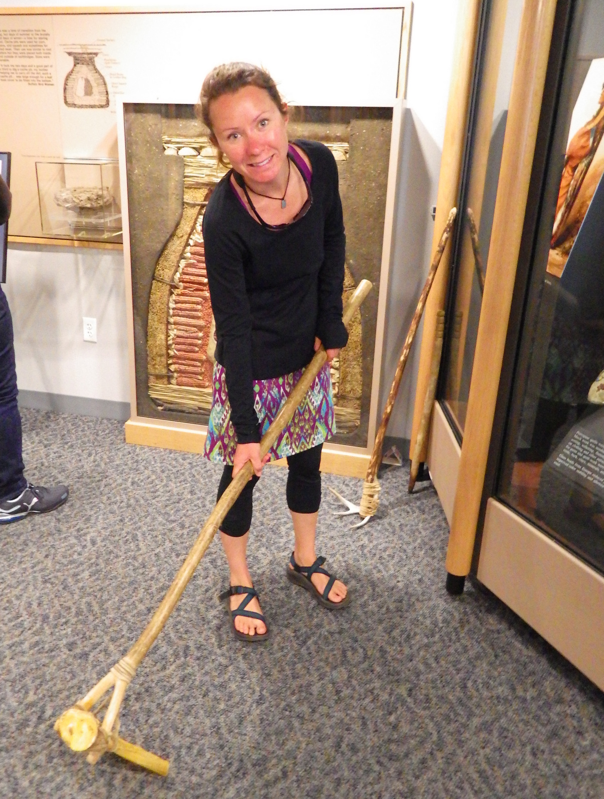
Many artifacts recovered on site are displayed inside the National Park Service (NPS) visitor center, some suggesting inhabitation by Paleo-Indians as far back as 11,000 years ago.  You can even try out a hoe made from a bison scapula.

Best Trail

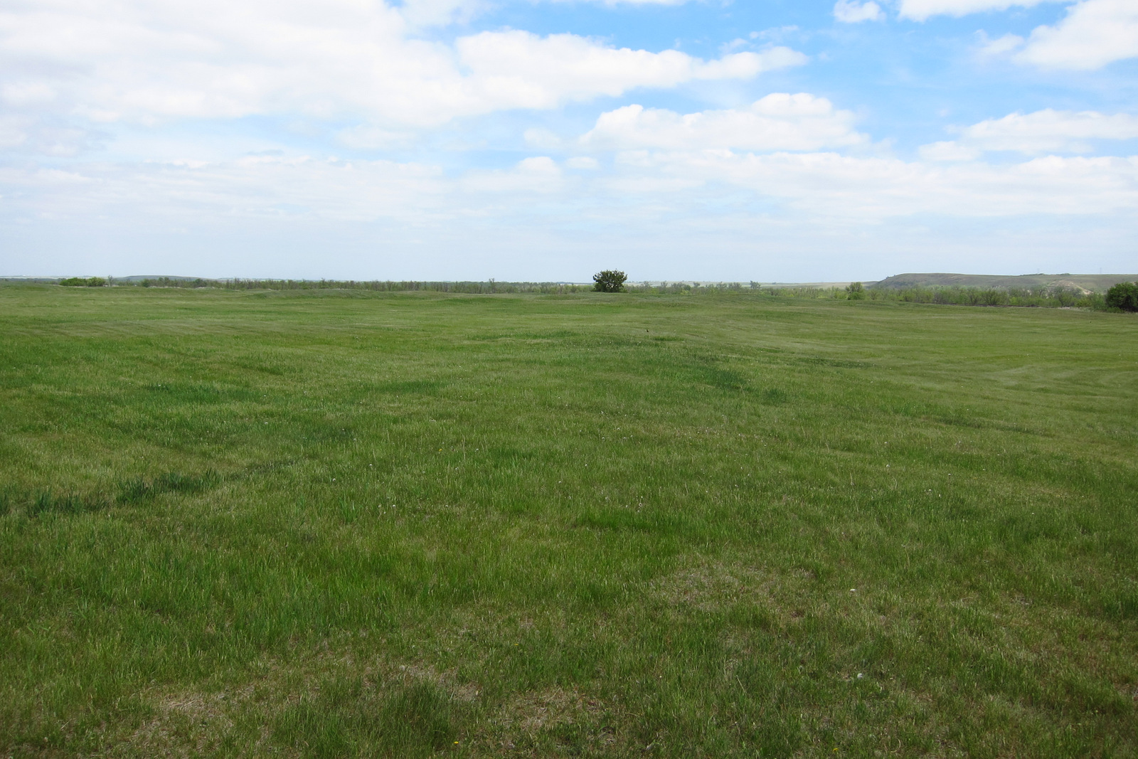
From the visitor center a trail leads to the Milk River, a tributary to the much larger (and more flood prone) Missouri River.  Each lump on the grass that you pass was once an earthlodge, which is easier to see in the overhead photograph on the interpretive sign.  You can drive to two other trailheads that provide access to the Missouri River and the site of Big Hidatsa Village.

Instagram-worthy Photo

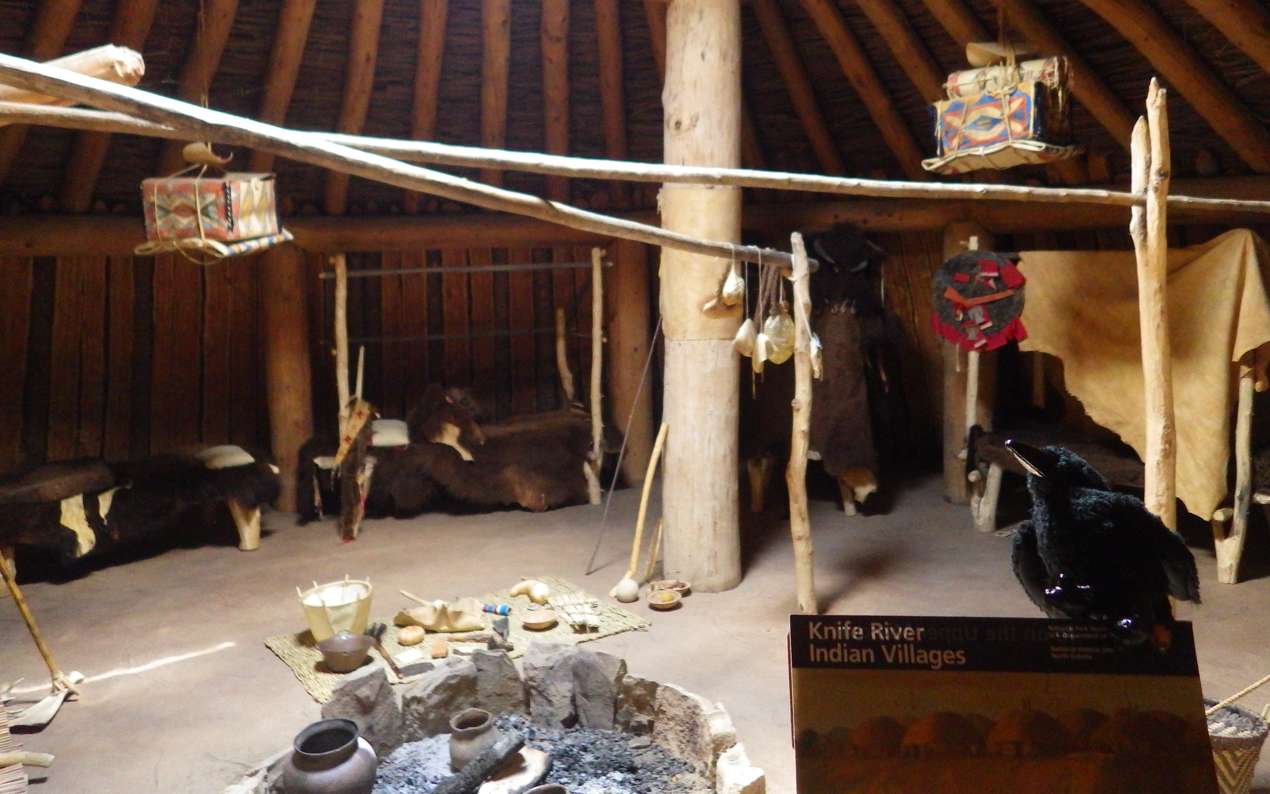
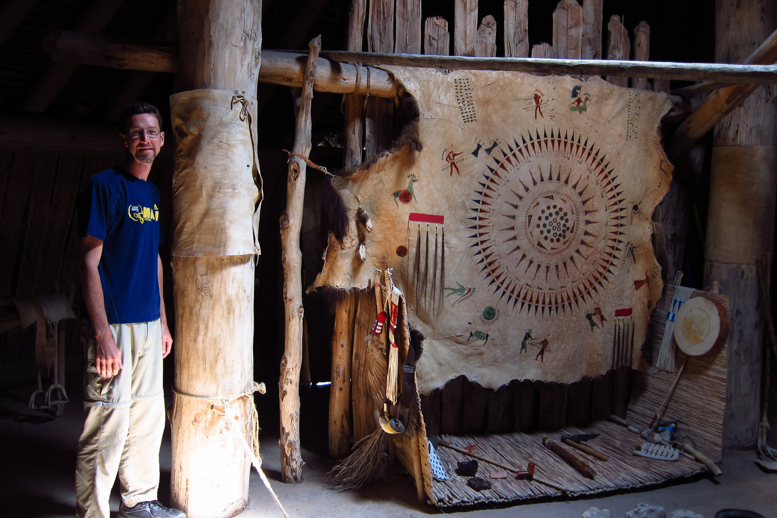
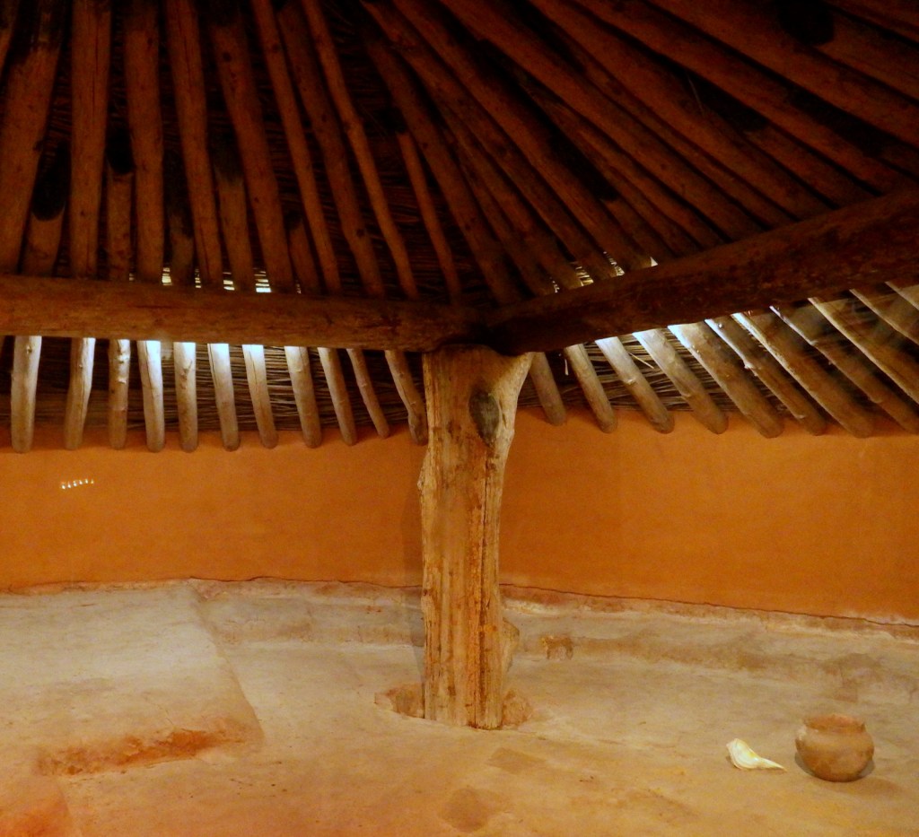
There is not much evidence left of the hundreds of earthlodges that once stood in these three villages, but there is one reconstruction that visitors can enter to exemplify the spacious dwellings.  An earthlodge actually required a large amount of wood to provide structure.

Peak Season

Summer

Hours

https://www.nps.gov/knri/planyourvisit/hours.htm

Fees

None

Road Conditions

All roads paved

Camping

Sakakawea State Park is 15 miles north of this site.

Explore More – What famous traveling companions did Lewis and Clark first meet here in 1804?
Mesa Verde National Park

Overview

The impressive and numerous (around 600) cliff dwellings here were built by Ancestral Puebloans 600 to 800 years ago before their abandonment.  After a day or two at Mesa Verde, you will understand why since 1906 it has remained the only “National Park” dedicated to preserving an archaeological site.

Highlights

Chapin Museum, Spruce Tree House, Petroglyph Point Trail, Cliff Palace, Step House, annual open house with luminaria

Must-Do Activity

Purchase tickets for guided tours of the ruins at the shiny new visitor center off Highway 160 before driving 20 miles to Long House, Cliff Palace, or Balcony House (the best tour for families).   Leave time to explore Chapin Mesa Museum first, where a high-quality film introduces the history of the region.  When it finally reopens years after a rock fall, you can then take a quick but steep hike to Spruce Tree House, accessible without a paid tour, where you have the opportunity to climb down a ladder into the dim interior of a reconstructed kiva. 

Best Trail

After driving to the less-trafficked Weatherill Mesa, bike or walk the paved road to Nordenskold No. 16 Trailhead, numerous pit-houses, and Step House Loop Trail. 

Instagram-worthy Photo

We think Square Tower House is the most photogenic ruins in the park and can be viewed from an overlook off Mesa Top Loop Road.  In summer 2018, we made reservations for a special guided tour of only 10 people to enter these ruins.

Peak Season

Summer, but it can get hot with little shade atop the mesas.

Hours

https://www.nps.gov/meve/planyourvisit/hours.htm

Fees

$20 per vehicle or America The Beautiful pass

Road Conditions

All roads paved, but some are closed in winter when tours are not offered.

Camping

Morefield Campground has more than 400 campsites atop the mesa; 15 with full RV hookups.  No backcountry camping is allowed.


This design we created to celebrate Mesa Verde National Park is available on a variety of products at Cafe Press and Amazon.

Explore More – What month does the NPS host an evening open house with thousands of candle luminaria, free food, and live music?

Pipestone National Monument

Pipestone National Monument

Minnesota

Managed by National Park Service

Established 1937

282 acres

Website: nps.gov/pipe

Overview

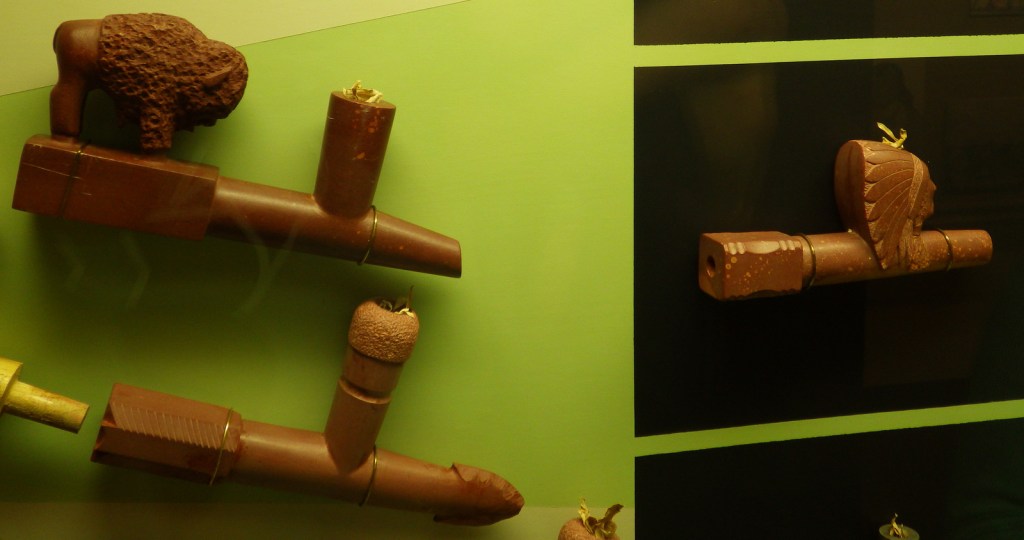
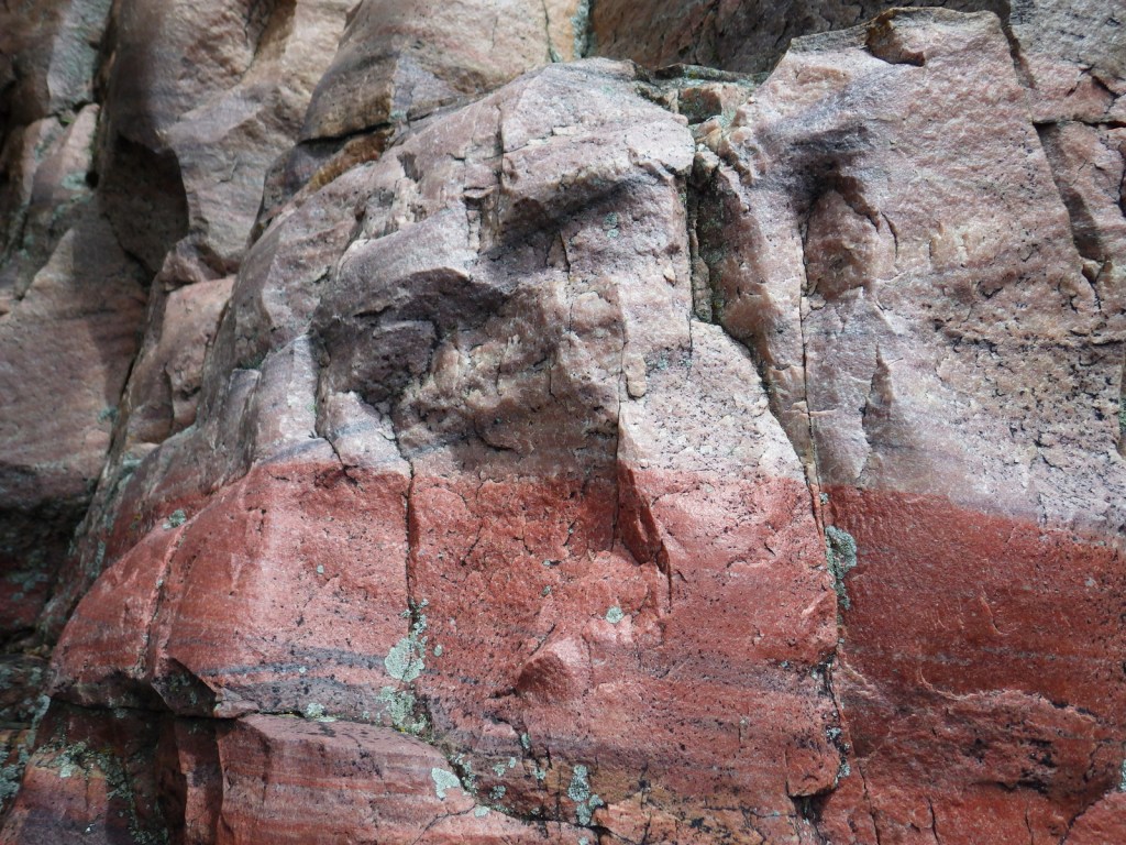
This site is famous as a place people have come for 2,000 years to mine the red quartzite rock (also known as catlinite).  The soft sedimentary stone is relatively easy to carve into smoking pipes and effigies.  Only American Indians are allowed to quarry here today with the proper permits.

Know someone who loves exploring new National Monuments? Gift them our book Monumental America: Your Guide to All 138 National Monuments that is available for sale on Amazon.com.

Highlights

Pipestone quarries, museum, carving demonstrations, Winnewissa Falls

Must-Do Activity

April through October, you can watch American Indian carvers at the National Park Service museum demonstrate how to sculpt this soft yet durable stone into hollow pipes and other beautiful ornaments.  It is illegal to remove any rocks without a permit, but you can buy carvings in the gift shop. See where this site fits into our 7-day Minnesota road trip itinerary.

Best Trail

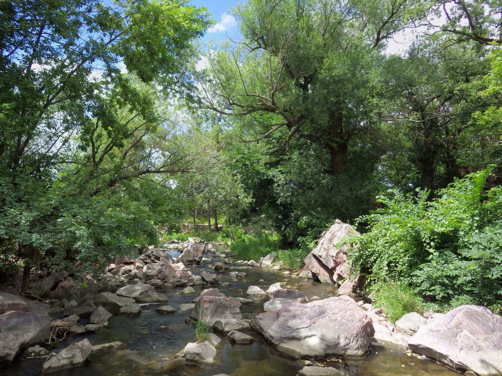
A 0.75-mile trail leads past historic rock quarries to Winnewissa Falls, just the spot to be on a hot summer afternoon.  The remnants of tallgrass prairie protected within the park boundaries give an idea of what this entire region might have looked like before it was converted to farms.

Instagram-worthy Photo

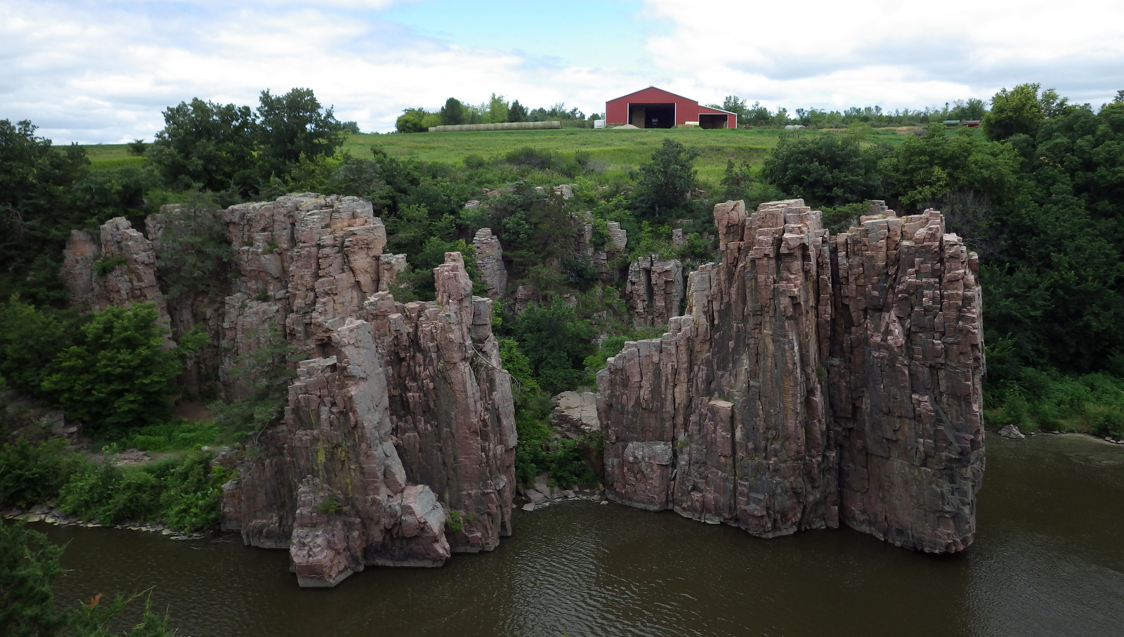
28 miles southwest across the border in South Dakota’s Palisades State Park where the same red quartzite rock dramatically rises above muddy Split Rock Creek and is a great place to picnic or watch rock climbers.

Peak Season

Summer, but it is open year round.

Hours

https://www.nps.gov/pipe/planyourvisit/hours.htm

Fees

None

Road Conditions

All roads paved

Camping

There is a private campground near the monument entrance and Split Rock Creek State Park is 8 miles south.

Related Sites

Grand Portage National Monument (Minnesota)

Chippewa National Forest (Minnesota)

Mississippi National River and Recreation Area (Minnesota)

Nearest National Park

Voyageurs

Explore More – Who is the famous artist that catlinite is named after?

Learn more about the other 137 National Monuments in our book Monumental America: Your Guide to All 138 National Monuments

Ocmulgee Mounds National Historical Park

Overview

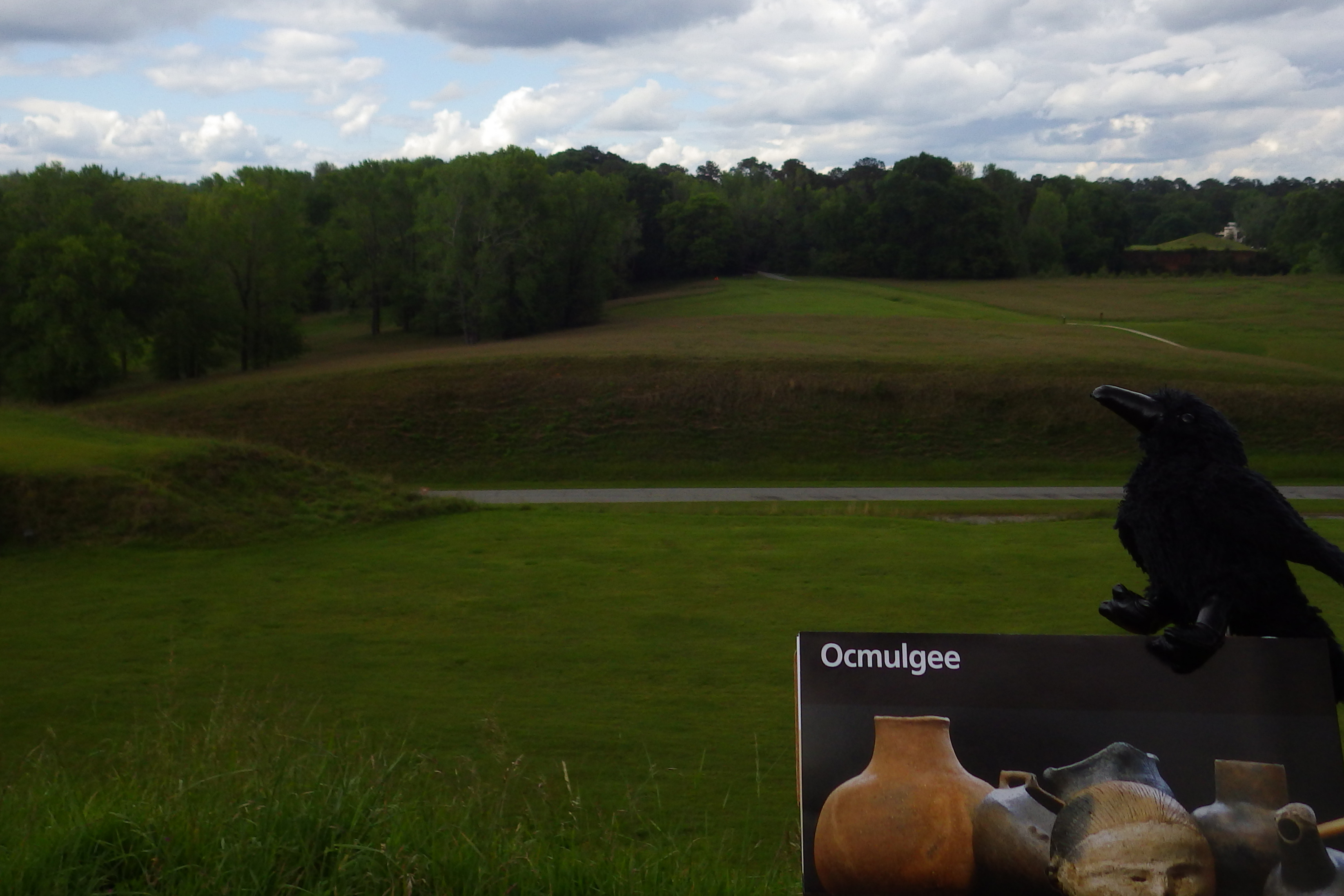
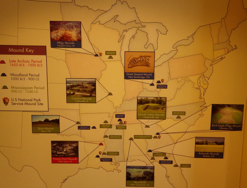
Beginning around 1,100 years ago, the Mississippian Culture became the third and final group of mound builders in the eastern U.S.  In contrast to earlier inhabitants at Poverty Point and Effigy Mounds, they were the first to rely heavily on agriculture.  Located in Macon, Georgia, Ocmulgee Mounds National Historical Park (formerly National Monument) is one of many examples of temple mounds from this time period.

Highlights

Indian mounds, museum, film, Opelofa Nature Trail

Must-Do Activity

Artifacts dating back to 8000 BCE can be found in the National Park Service museum.  On your walk to the mounds, stop in the reconstructed 42-foot wide earthlodge.  It was an important meeting place for religious leaders (similar to a great kiva) and offers a glimpse into the Mississippian Culture.  There is also evidence of an English trading post from 1690 and trenches from the Civil War.

Best Trail

Walk from the visitor center, under the railroad tracks, and up the stairs to access the top of the 55-foot tall Great Temple Mound.  Then watch for wildlife along the Opelofa Nature Trail in the Walnut Creek wetlands.

Instagram-worthy Photo

The Mississippian Culture had a complex social hierarchy, with a royal Great Sun who lived atop this flat-topped temple mound and traveled on a canopied litter carried by servants.  When a Great Sun died his people made human sacrifices so he would not enter the afterlife alone. 

Peak Season

Open year round

Hours

https://www.nps.gov/ocmu/planyourvisit/basicinfo.htm

Fees

None

Road Conditions

All roads paved

Camping

Indian Springs and High Falls State Parks are both about 35 miles from the park.

Explore More – What was the population of this city in AD1000?

Russell Cave National Monument

Overview

Humans have been visiting Russell Cave in northeast Alabama since about the time its limestone roof collapsed creating an entrance around 10,000 years ago.  A timeline of human invention was preserved in the floor of this hunting camp for millennia, from atlatls to bows, pottery to pump drills.  The park rangers were the friendliest we encountered during Pretirement and often offer demonstrations of prehistoric tools and weapons.

Highlights

Museum with American Indian artifacts, boardwalk to cave entrance, nature trails

Must-Do Activity

There are a select few artifacts displayed on site in the National Park Service (NPS) visitor center.  From there a short boardwalk leads through the forest to an overlook of the archaeological digs at the cave entrance, which you cannot enter. 

Best Trail

Two nature trails (0.6 and 1.2 miles long) split off from the boardwalk to explore the surrounding hills.

Instagram-worthy Photo

This cave is not famous for its pretty cave formations, but for its incredible archaeological record.  If you want to see beautiful stalactites and stalagmites, I recommend you head west to the impressive Cathedral Caverns State Park.

Peak Season

Summer, when it can be muggy and buggy.

Hours

https://www.nps.gov/ruca/planyourvisit/basicinfo.htm

Fees

None

Road Conditions

All roads paved, but RVs are not recommended on Highway 156 if entering from the north.

Camping

DeSoto State Park has a campground and primitive camping is allowed at three sites in nearby Little River Canyon National Preserve.

Explore More – How far down into the cave floor did archaeologists dig in the 1950s?