Tag Archives: hiking

Mount Rainier National Park

Mount Rainier National Park

Washington

Managed by National Park Service

Established 1899

236,381 acres

Website: nps.gov/mora

Overview

Only 3 hours from Seattle, 14,410-foot tall Mount Rainier dominates the skyline in all directions.  It spends many days cloaked in clouds, so your best view might be out a tiny airplane window before landing at Sea-Tac Airport.  It is an active volcano, uncomfortably close to a population of millions, but it provides recreational opportunities year round.  The park truly contains the wonderland for which its 93-mile circumnavigating trail is named.

Know someone who loves National Parks? Gift them our travel guide A Park to Yourself: Finding Solitude in America’s 63 National Parks. 

Highlights

Paradise, Sunrise, Grove of the Patriarchs Trail, Wonderland Trail

Must-Do Activity

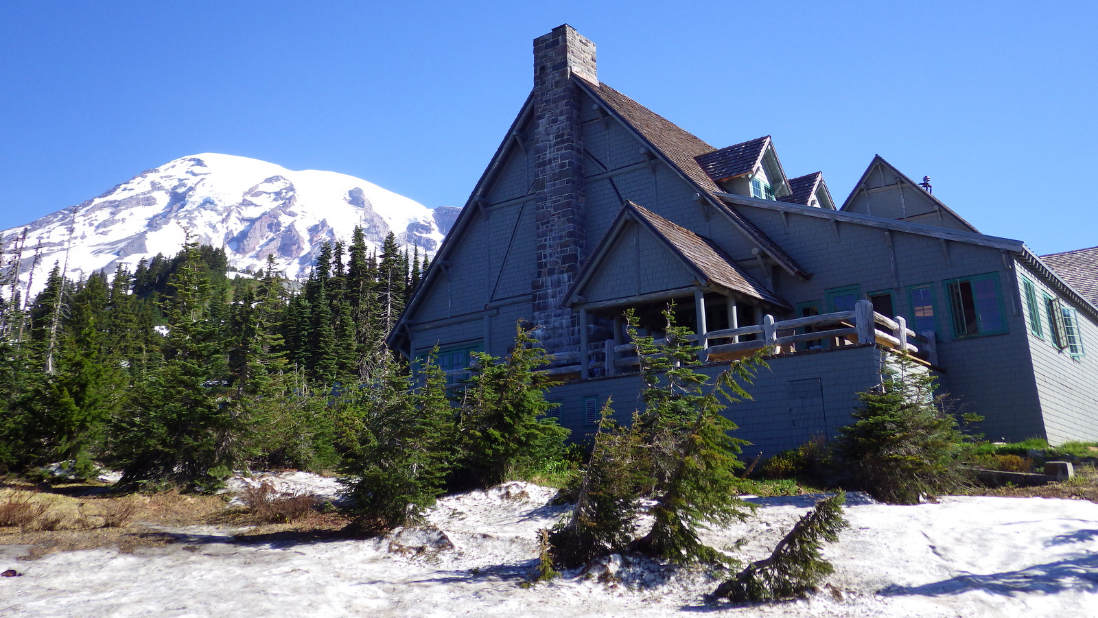
Despite receiving an average of 680 inches of snow annually, the road to Paradise is open all year.  Even in July, you should pack your snowshoes to follow the 5.5 mile Skyline Loop or the 1.2 mile long Nisqually Vista Trail.  This is the jumping off point for most mountaineers attempting to summit the volcano.

Best Trail

A really fun (or scary) swinging footbridge grants access to the Grove of the Patriarchs Trail (1.2 miles roundtrip), where giant Douglas-fir trees tower to more than 300 feet in height.

Instagram-worthy Photo

Reflection Lake is right off the main park road east of the Paradise turnoff.  When there is no wind, it offers a stunning mirror view of Mount Rainier.

Peak Season

Summer, but expect heavy snowpack through July and at least 9 months a year.

Hours

https://www.nps.gov/mora/planyourvisit/hours.htm

Fees

$30 per vehicle or America The Beautiful pass

Road Conditions

The main roads to Paradise and Sunrise are paved, though the latter is closed October to July, as is the dirt road that accesses Mowich Lake.  The Carbon River Road in the northwest corner was washed out in 2006, but is still walkable for 5 miles one-way to access Ipsut Creek Campground.

Camping

There are several large campgrounds that accept reservations, but White River Campground near Sunrise has 112 sites available on a first-come, first-served basis. 

Related Sites

Mt. St. Helens National Volcanic Monument (Washington)

Gifford Pinchot National Forest (Washington)

Ross Lake National Recreation Area (Washington)


This design we created to celebrate Mount Rainier National Park is available on a variety of products at Cafe Press and Amazon.

Explore More – How many different glaciers cling to the sides of the Mount Rainier volcano?

Know someone who loves National Parks? Gift them our travel guide A Park to Yourself: Finding Solitude in America’s 63 National Parks. 

Devils Tower National Monument

Wyoming

Managed by National Park Service

Established 1906

1,347 acres

Website: nps.gov/deto

Overview

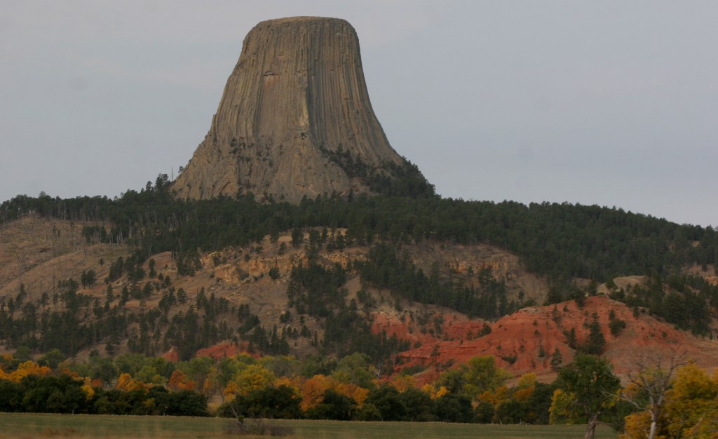
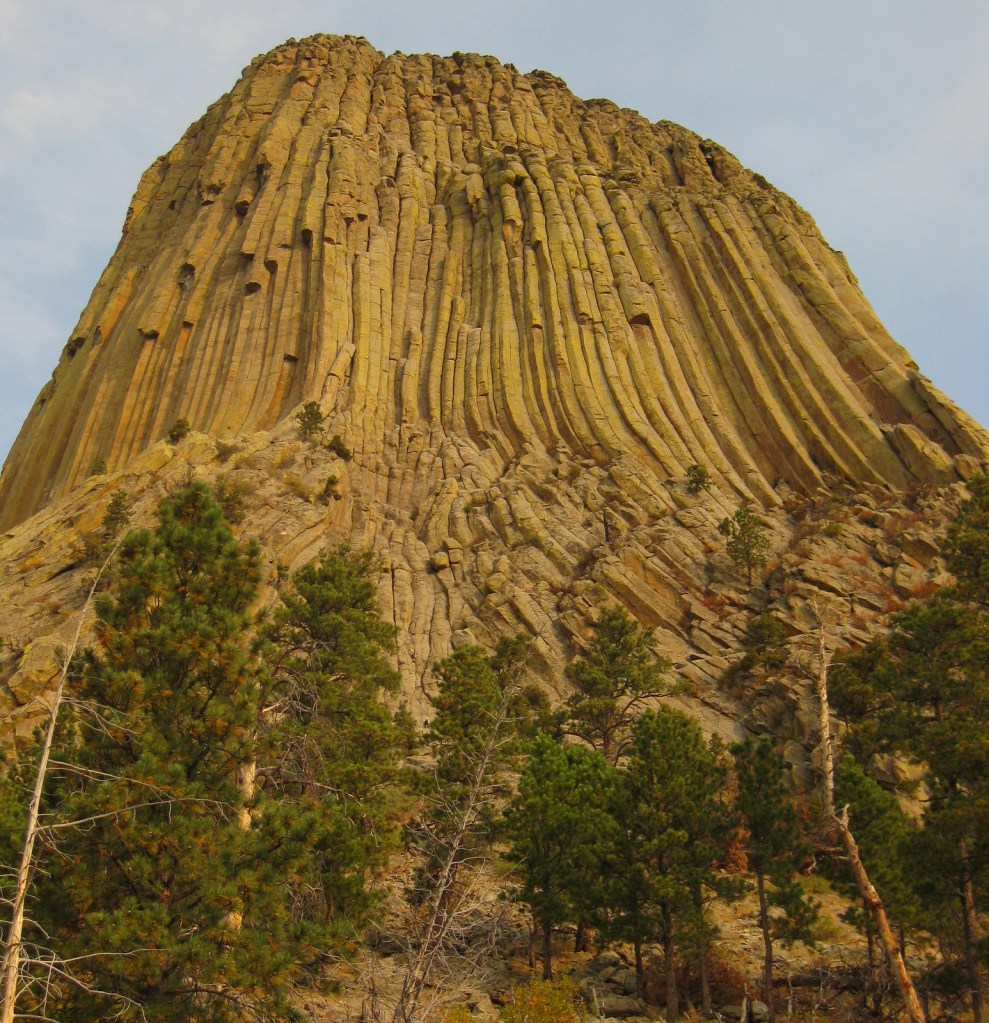
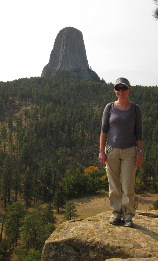
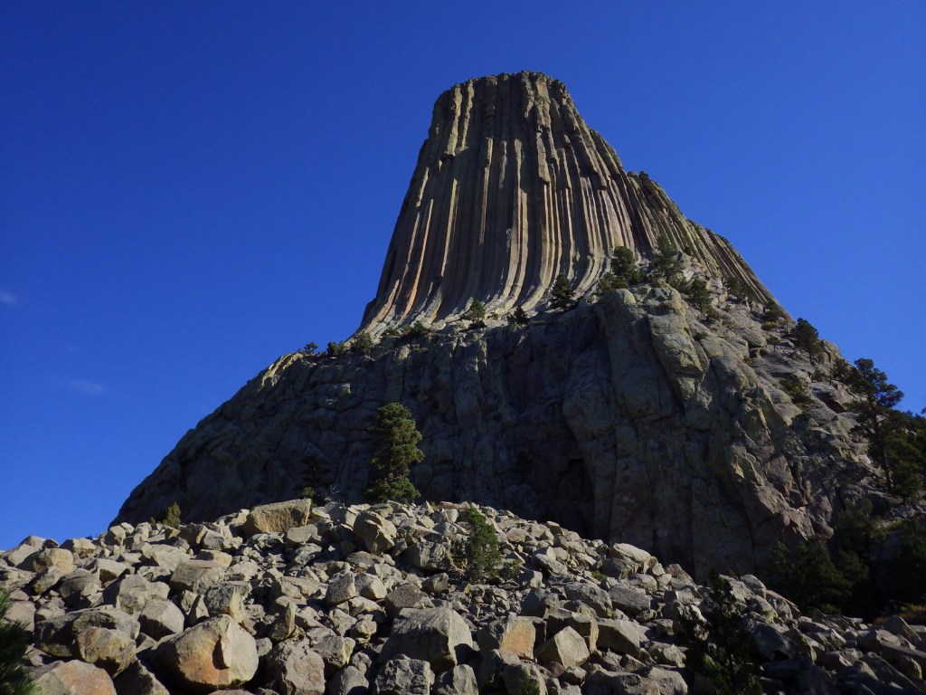
Devils Tower was named the United States’ first National Monument by President Teddy Roosevelt in 1906.  Legend has it that its deep stripes were made by the tearing claws of a giant bear attempting to climb after seven girls who were saved when the rock grew from three feet high to its current 867 feet.  You can see the girls today as the constellation Pleiades.  The bear came to rest in Bear Butte State Park in South Dakota.

Know someone who loves the National Monuments? Gift them our travel guidebook Monumental America: Your Guide to All 138 National Monuments that is available for sale on Amazon.com.

Highlights

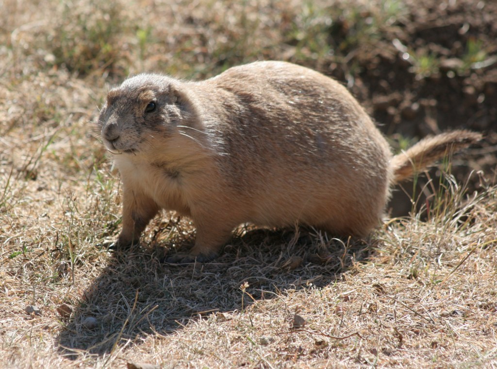
Tower Trail, Joyner Ridge Trail, Prairie Dog Town

Must-Do Activity

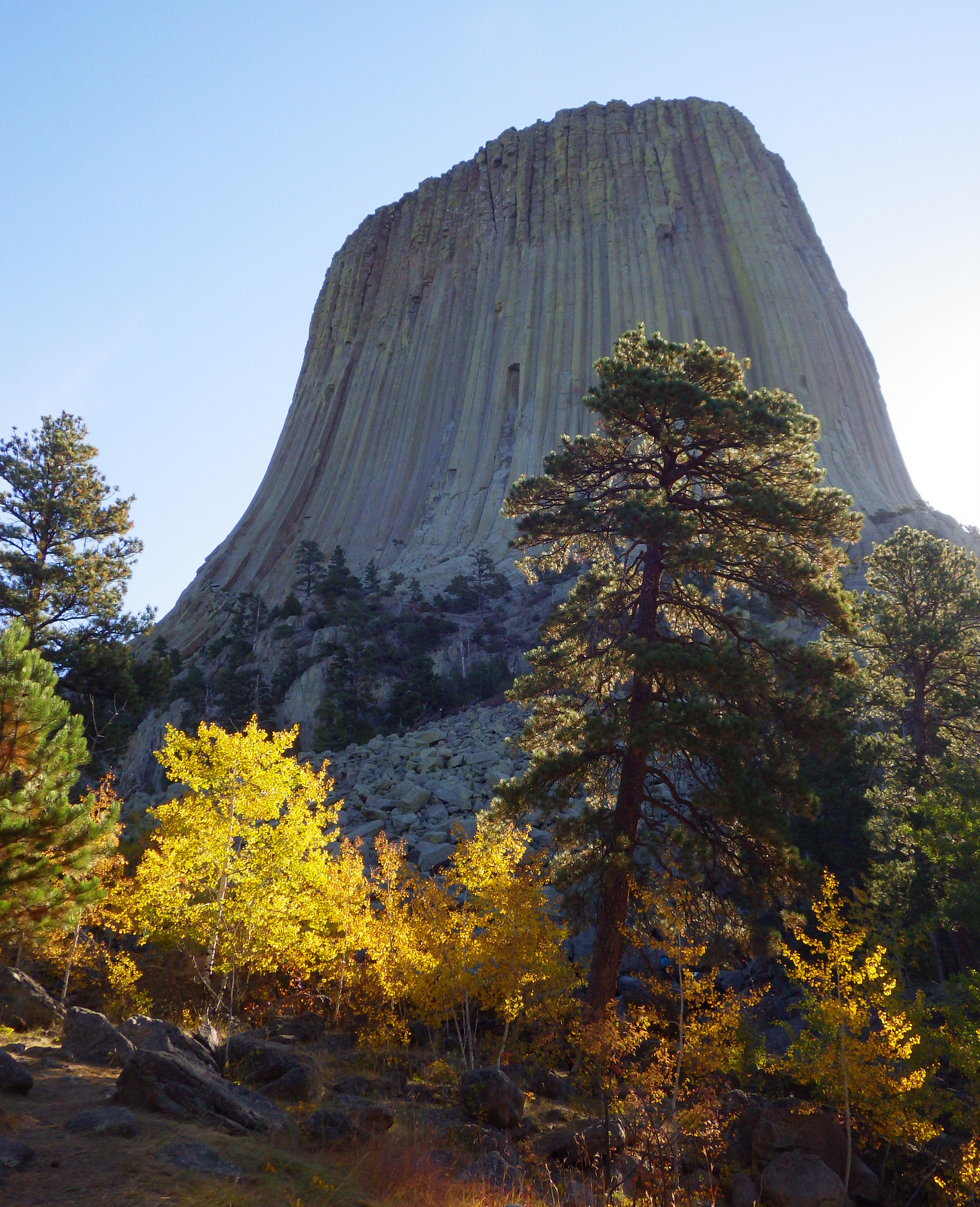
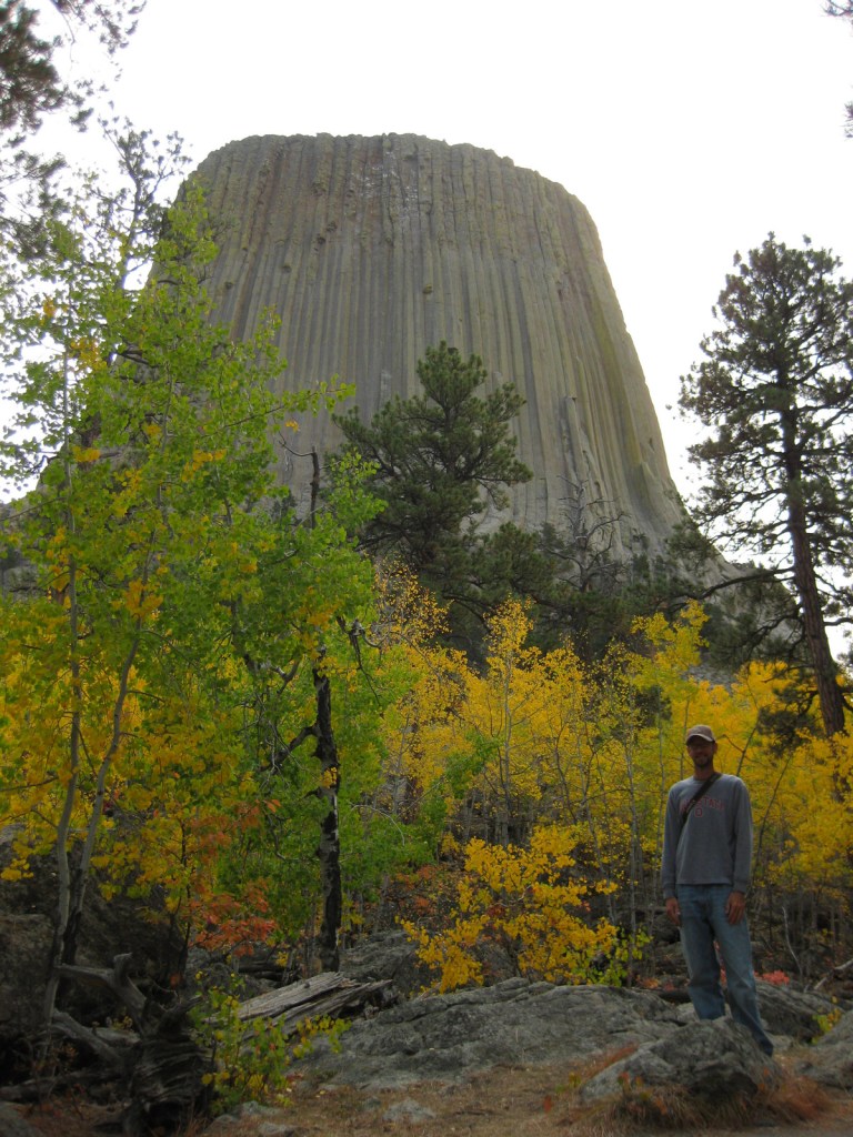
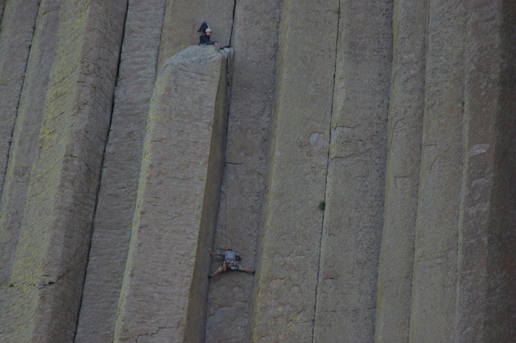
Devils Tower is a distinctive 50-million-year-old volcanic plug, whose steep sides have been an irresistible challenge to rock climbers for years.  Watch for them as you complete the 1.3-mile loop trail around the entire tower, as it looks different from every angle.  Also look for the colorful prayer cloths left by Native Americans, many of whom would prefer this sacred site be renamed Bear Lodge National Monument.

Best Trail

Joyner Ridge Trail provides a unique view of the tower and forms a 1.5-mile loop or connects to the longer Red Beds Trail that circumnavigates it.

Instagram-worthy Photo

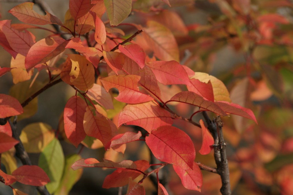
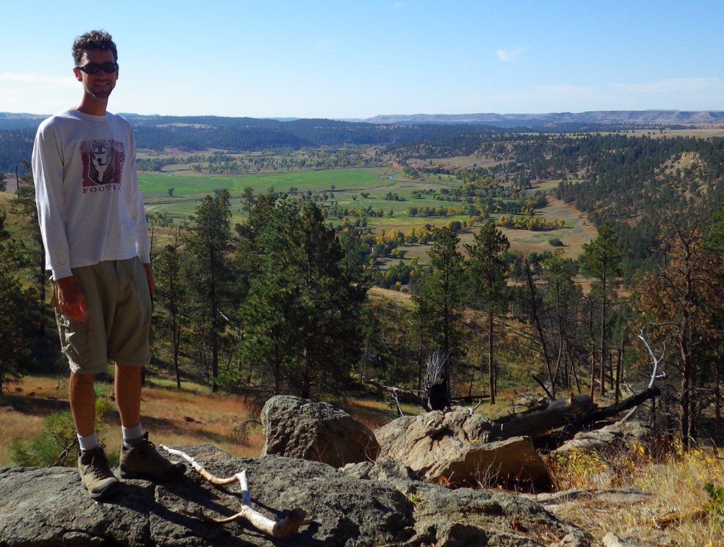
Visit in late September for fall foliage: golden quaking aspens and red chokecherry bushes.

Peak Season

Summer

Hours

https://www.nps.gov/deto/planyourvisit/hours.htm

Fees

$25 per vehicle or America The Beautiful pass

Road Conditions

Long vehicles must park just below the visitor center and hike a short ways up.  The short West Road to Joyner Ridge Trailhead is a good dirt road.

Camping

On the prairie below Devils Tower, a 50-site campground is located within a grove of cottonwood trees, with running water available May through October.  A private campground with RV hookups is located near the park entrance. Dispersed camping is possible in parts of Black Hills National Forest, but be careful to avoid private inholdings.

Related Sites

Yellowstone National Park (Wyoming-Montana-Idaho)

Black Hills National Forest (South Dakota-Wyoming)

Fossil Butte National Monument (Wyoming)

Grand Teton National Park (Wyoming)

Nearest National Park

Wind Cave

Explore More – How is park connected with the classic 1978 film Close Encounters of the Third Kind?

Learn more about the other 137 National Monuments in our book Monumental America: Your Guide to All 138 National Monuments

Devils Postpile National Monument

Overview

Originally managed as part of Yosemite National Park, this monument was established in 1911 to protect it from demolition by dam builders.  It is only 798 acres, so it can easily feel crowded; therefore we recommend getting an early or late start when the shuttles from Mammoth Lakes, California are not running.

Highlights

Devils Postpile, Rainbow Falls, Minaret Falls

Must-Do Activity

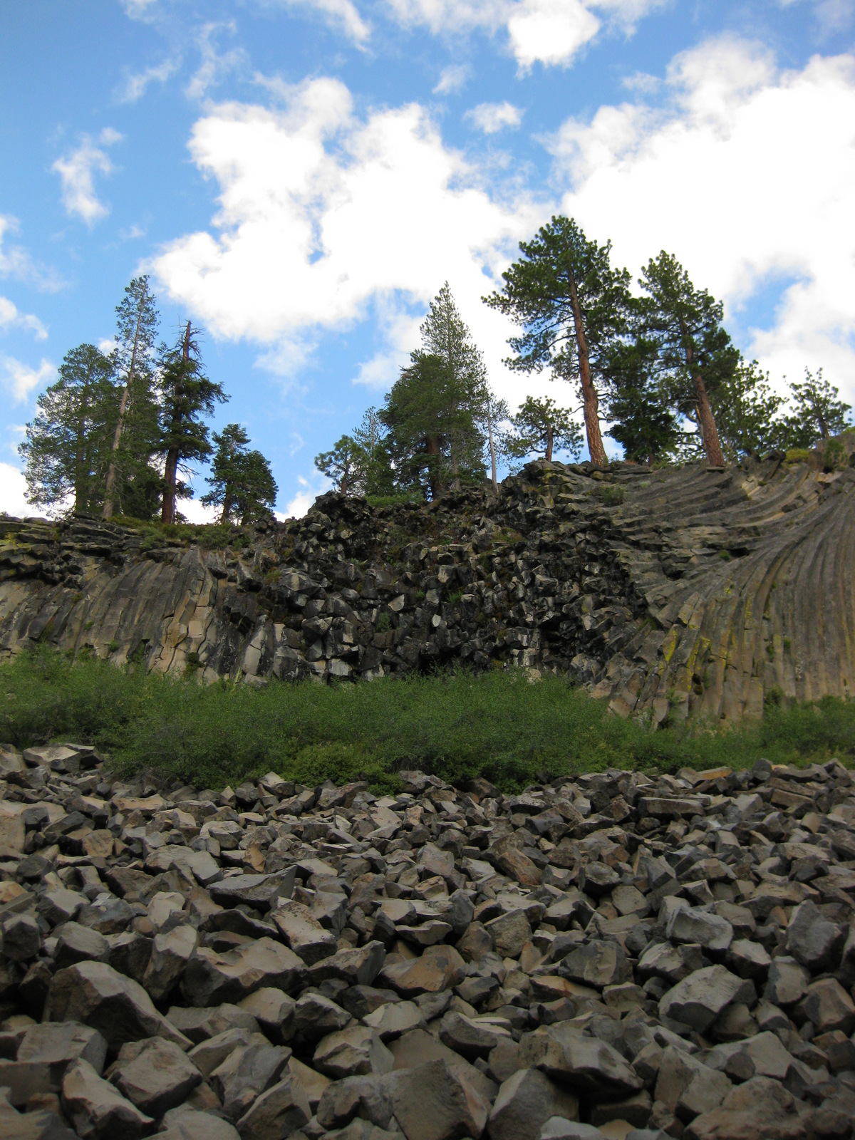
Devils Postpile National Monument is named for a 60-foot tall wall of columnar basalt formed by a volcanic eruption that occurred less than 100,000 years ago.  These interesting columns are one to three feet in diameter and more than half are hexagonal in shape. 

Best Trail

The Pacific Crest National Scenic Trail runs through the monument, but just outside its boundaries in Inyo National Forest is a 3-mile round trip hike to pretty Minaret Falls.

Instagram-worthy Photo

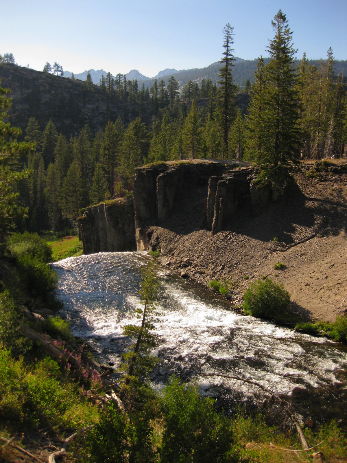
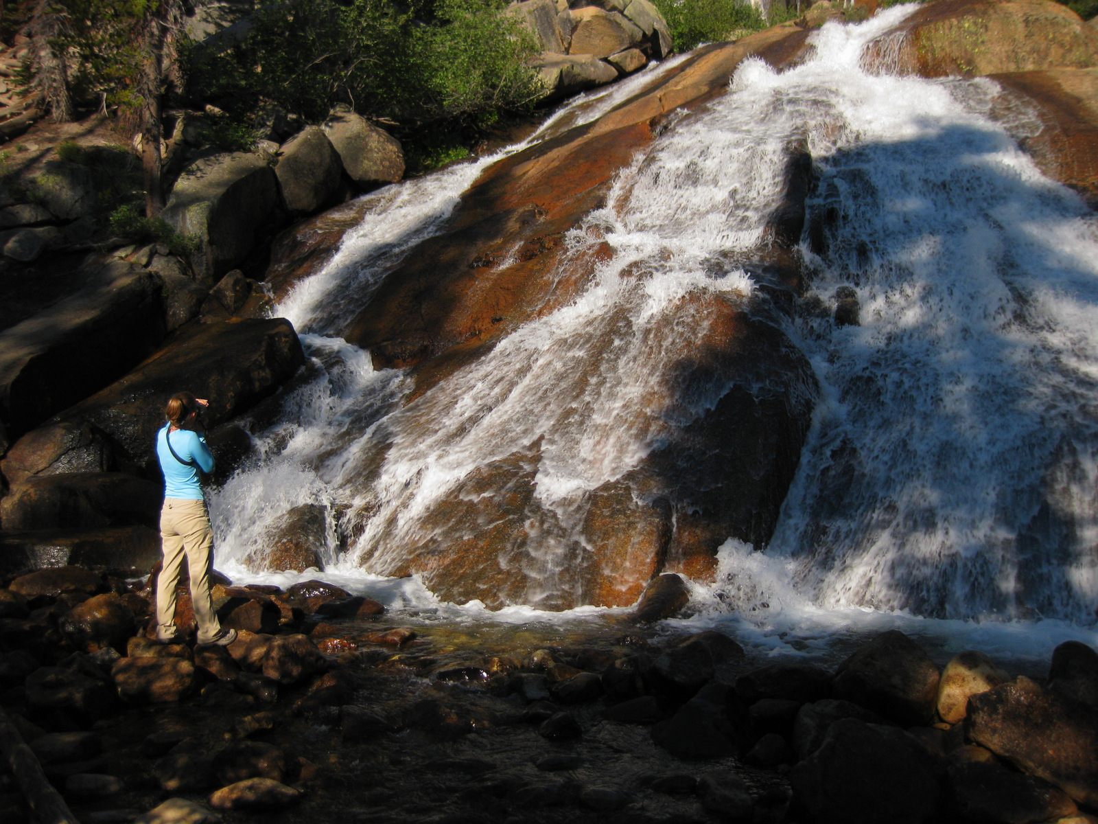
A short 1.3-mile roundtrip hike takes you to 101-foot-high Rainbow Falls, which usually lives up to its name and is one of the most stunning waterfalls we have ever seen. 

Peak Season

Due to high snowfall in the Eastern Sierra, it is generally only open from June through October. 

Hours

https://www.nps.gov/depo/planyourvisit/hours.htm

Fees

$20 per vehicle or America The Beautiful pass, but most visitors have to pay $8 per person for a shuttle bus to enter the monument.

Road Conditions

You are only allowed to drive your own vehicle down the narrow access road if you are staying at Reds Meadow Resort or the Inyo National Forest campground.  Otherwise, you must pay to take a shuttle from Mammoth Lakes, California. 

Camping

A 21-site campground is located near the National Monument and many others outside Mammoth Lakes, California in Inyo National Forest, where dispersed camping is also allowed in some places.

Explore More – How did glaciers help expose the Devils Postpile formation 10,000 years ago?

Cedar Breaks National Monument

Overview

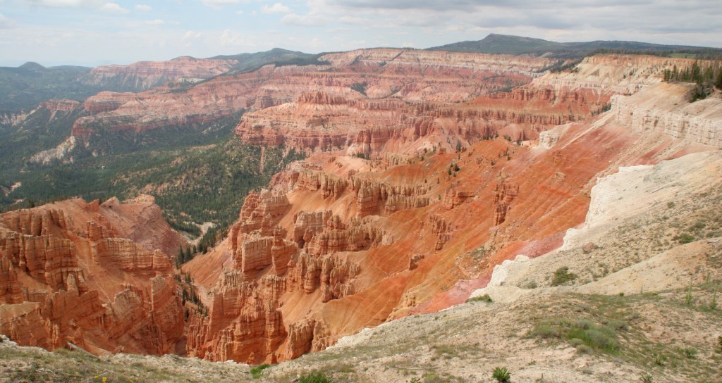
Cedar Breaks National Monument is a red rock badlands full of hoodoos situated at the edge of the Markagunt Plateau and only open during the summer due to its elevation above 10,000 feet.  Its colorful limestone amphitheater is like a miniature Bryce Canyon National Park without all the interior trails.

Highlights

Chessman Ridge Overlook, Point Supreme, Ramparts Trail, Spectra Point

Must-Do Activity

The National Park Service visitor center is open late May through October.  From there the short trail to Point Supreme and the longer Ramparts Trail lead to stunning overlooks of the amphitheater.  Also stop at Sunset View, Chessman Ridge Overlook, and North View on Cedar Breaks Scenic Drive. In the surrounding Dixie National Forest, there is free parking at the Rattlesnake Trail that offers two unique overlooks within the first mile before it drops steeply into the forested canyon.

Best Trail

At 10,000 feet in elevation this is no place to try anything too strenuous.  Walk the flat one-mile Ramparts Trail to Spectra Point and stop at the many great overlooks along the way while enjoying the riotous summer wildflowers and gnarly bristlecone pine trees (some believed to be more than 1,600 years old).

Instagram-worthy Photo

On our visit in July, we saw columbine, blue bells, larkspur, Indian paintbrush, elkweed, lupine, wild rose, fireweed, and cow parsnip; many of the same species that grow along the coast of Alaska. 

Peak Season

Summer, though snowmobilers and cross-country skiers can access the park during the winter.

Hours

https://www.nps.gov/cebr/planyourvisit/hours.htm

Fees

$25 per vehicle or America The Beautiful pass

Road Conditions

The paved Cedar Breaks Scenic Drive remains open until snow closes it usually by November.

Camping

The park contains Point Supreme Campground with 30 spaces and running water from June through September.  The surrounding Dixie National Forest also offers campgrounds and free dispersed camping.

Related Sites

Bryce Canyon National Park (Utah)

Dixie National Forest (Utah)

Great Basin National Park (Nevada)

Nearest National Park

Zion

Explore More – What is the name of the officially designated wilderness that Rattlesnake Trail enters outside the monument’s boundaries?

Sleeping Bear Dunes National Lakeshore

Overview

There are currently three National Lakeshores in the National Park Service system, and Sleeping Bear Dunes National Lakeshore is one of two in Michigan.  It encompasses 31 miles of mainland shoreline and 34 more miles on two large islands that give the park its name.  The park receives over a million visitors annually and is known for its fishing and canoeing.

Highlights

Dune Climb, Pierce Stocking Scenic Drive, Glen Haven Village Historic District, 1871 South Manitou Island Lighthouse

Must-Do Activity

Much of this National Lakeshore is forested and surrounds several small townships (marked “Twp” on many maps).  For a backcountry experience on the mainland, take the winding 7-mile Pierce Stocking Scenic Drive that becomes a cross-country ski trail in winter.  Trails and overlooks provide stops along the route, which is not recommended for long vehicles or trailers.

Best Trail

Dune Climb is more than 100 feet tall and the best place to play in the sand.  This is a perched dune where sand accumulated atop glacial moraines left from the last ice age.  From the top there are great views and you can continue on several other trails.

Instagram-worthy Photo

Glen Haven Village Historic District maintains a former general store, blacksmithy, and cannery, which now contains a museum dedicated to small watercraft.  The Sleeping Bear Point Coast Guard Station Maritime Museum is open Memorial Day to Labor Day.

Peak Season

Summer

Hours

https://www.nps.gov/slbe/planyourvisit/hours.htm

Fees

$25 per vehicle or America The Beautiful pass

Road Conditions

The main roads are paved, but some beach access is only by dirt road.  Ferries in the summer leave from Leland, Michigan to either North or South Manitou Islands where there are no roads.  Unless you are doing a day trip, camping permits are required before departure.

Camping

Platte River Campground is open year round and takes reservations.  Backpackers can enjoy more than 100 miles of trails, including some on the two wilderness islands.  Backcountry camping requires a permit.

Explore More – What were they canning at the old cannery in Glen Haven Village Historic District?