Mt. St. Helens National Volcanic Monument
Washington
Managed by U.S. Forest Service, Pacific Northwest Region
Established 1982
110,000 acres
Website: https://www.fs.usda.gov/visit/destination/mount-st-helens-national-volcanic-monument-0
Overview
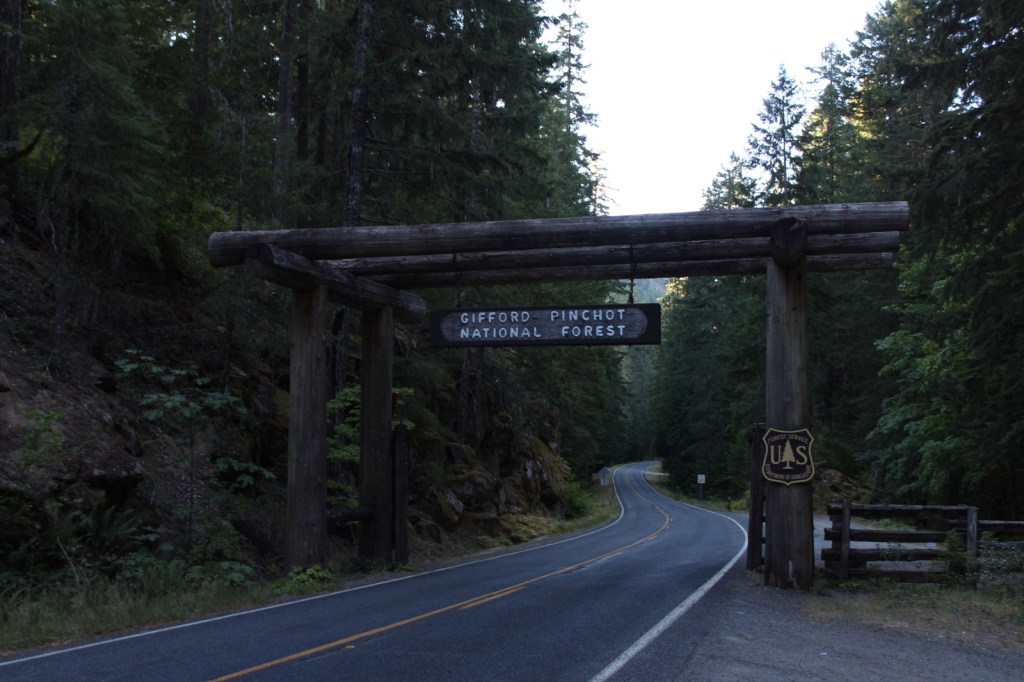
Mt. St. Helens erupted Sunday, May 18, 1980 decreasing its elevation by 1,300 feet and depositing all of that material across the landscape as ash and a lahar (volcanic mudslide) claiming 57 human lives. The site is now protected as Mt. St. Helens National Volcanic Monument and is accessed from the east or west through Gifford Pinchot National Forest. Mt. St. Helens is geologically young as it began to form only 37,600 years ago. It is considered the most active volcano in the Cascade Range, with a major eruption in 1480 several times larger than that which occurred 500 years later, as well as written records that noted activity from 1800 to 1857. Prior to the most recent blast it was distinguished for its perfect cone shape, likened to the renowned outline of Mt. Fuji in Japan.

Highlights
Johnston Ridge Observatory, films, Forest Learning Center, Windy Ridge, Spirit Lake, Bear Meadows, Winds of Change Trail
Must-Do Activity
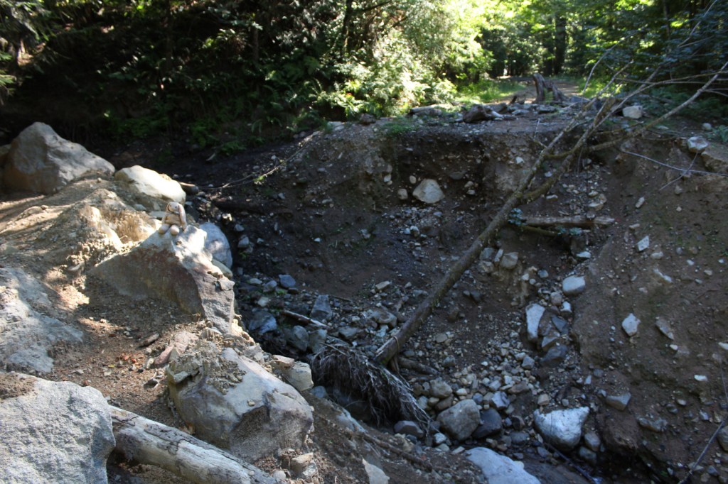
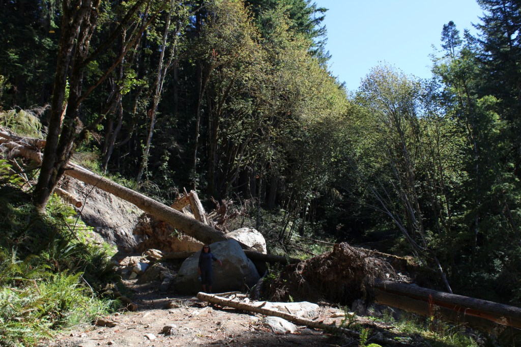
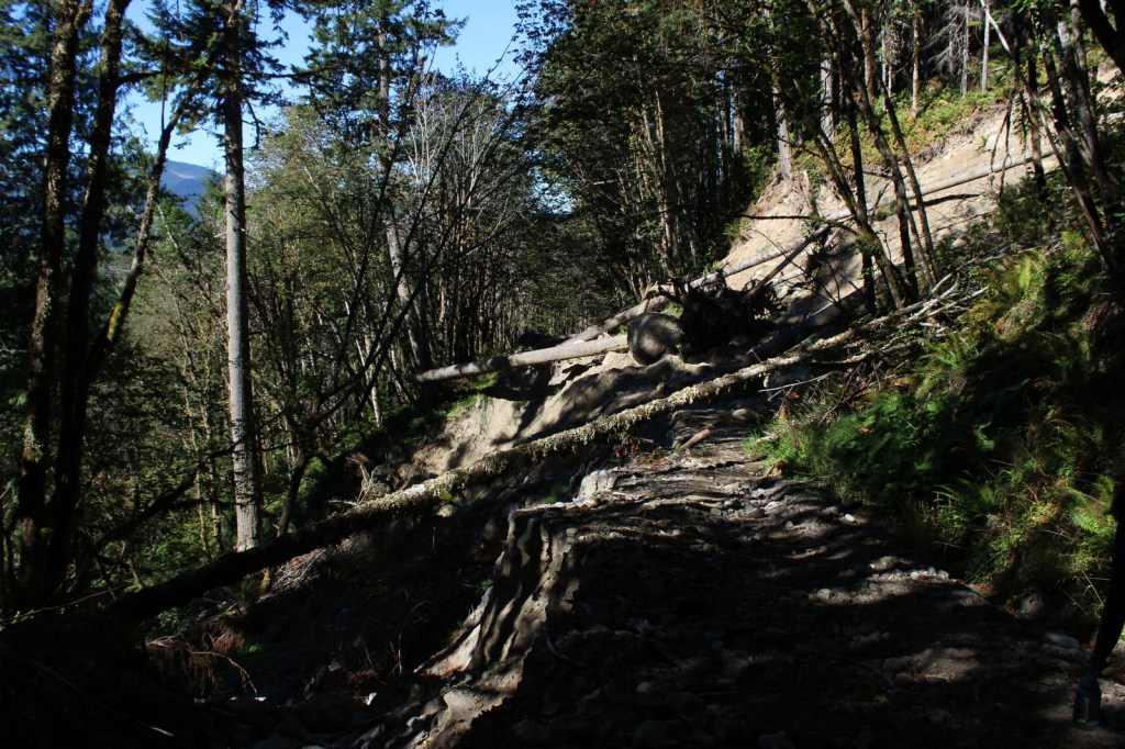
Coming from Mount Rainier National Park, we decided to visit the more remote eastern side of the National Monument (see Best Trail) on Spirit Lake Memorial Highway. From Interstate 5 on the volcano’s west side, Highway 504 leads east past an excellent visitor center (Milepost 5) at Seaquest State Park in Silver Lake (admission charged). Highway 504 next reaches the free Forest Learning Center managed by the Weyerhaeuser Company, Washington State Department of Transportation, and the Rocky Mountain Elk Foundation. The road ends at Johnston Ridge Observatory (Milepost 52), which is known for its awesome views of Mt. St. Helens. We have been told not to miss the introductory films at the museum (admission charged). [Update: Highway 504 closed due to landslides at Milepost 43 in June 2023 and has not reopened yet.] Climbers need a permit to ascend Mt. St. Helens, but even from an overlook the scene is enough to fill one with an appreciation for nature’s awesome power.
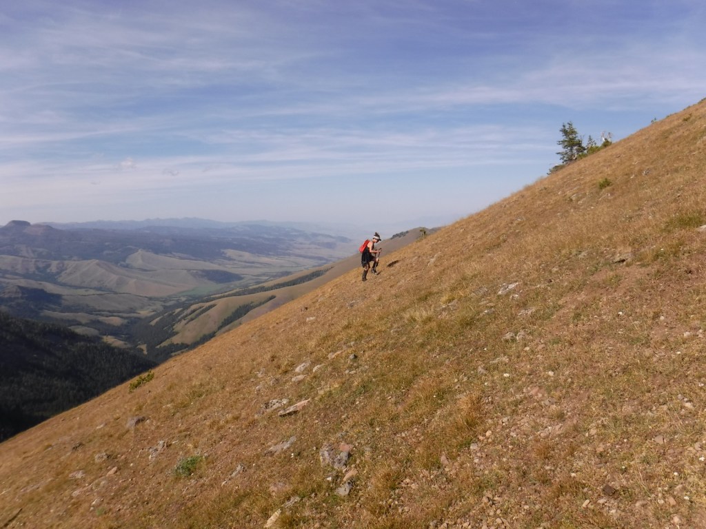
Best Trail
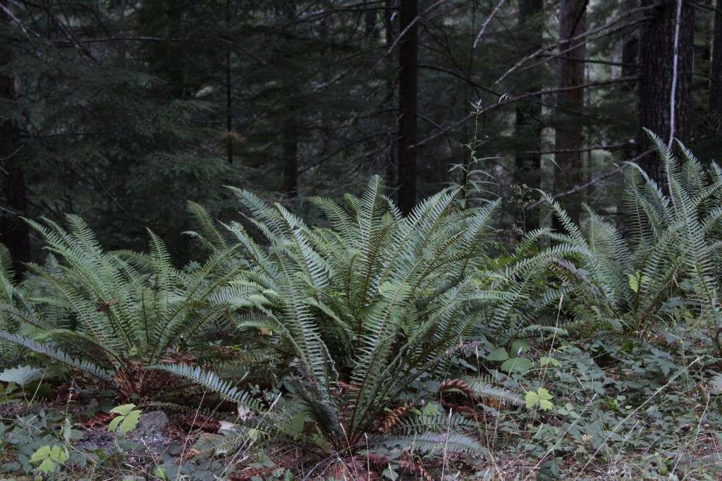
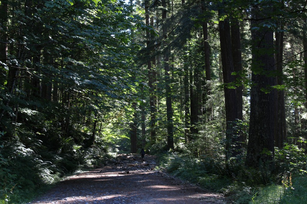
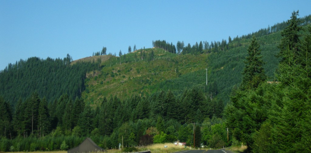
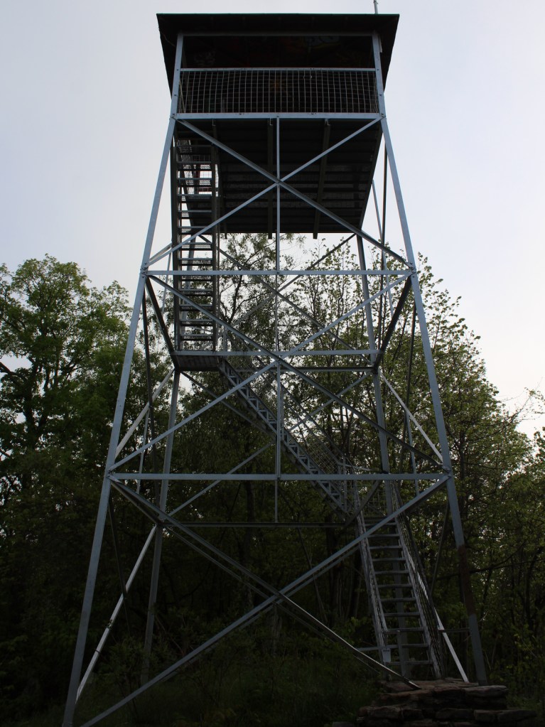
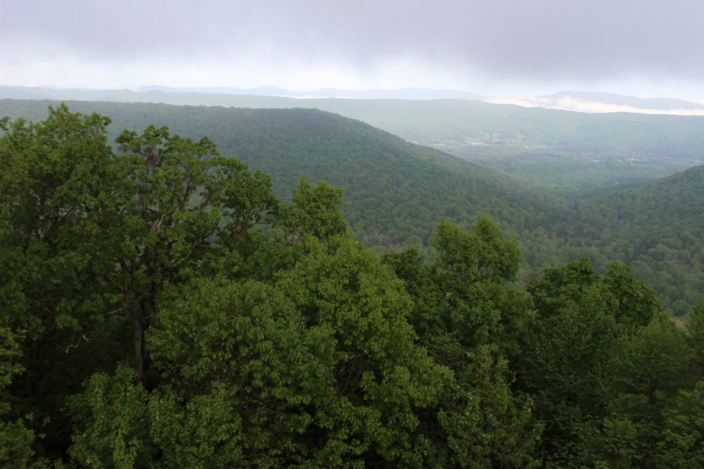
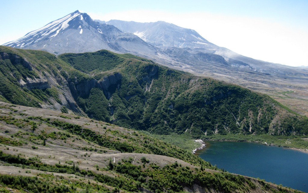
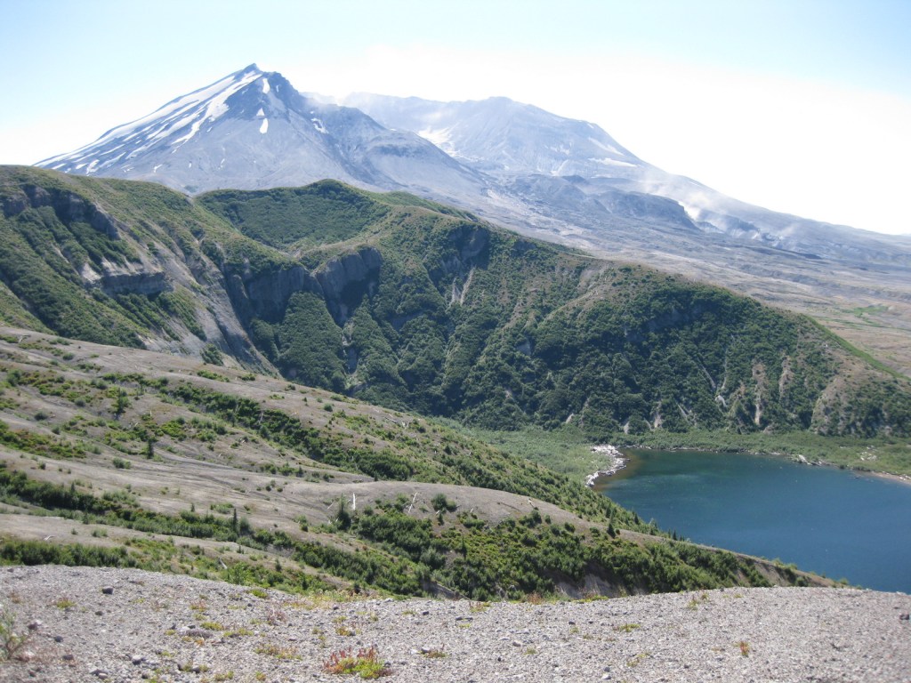
After a breathtaking ascent of 361 steps, we reached a breathtaking view atop the aptly named Windy Ridge. It provided a panorama of the destruction wrought by the volcano, which is still visibly spewing smoke and cinders. Today the waters of Spirit Lake remain clogged with thousands of weathered snags, floating upon its surface like debarked, sun-bleached ghosts. Elsewhere the rate of reforestation has been astounding. Due to natural regeneration and planting efforts within Gifford Pinchot National Forest, millions of Douglas-fir, noble fir, and other trees are rapidly growing in the nitrogen-rich deposits, up to 100 feet deep in some places.
Instagram-worthy Photo
From Windy Ridge, the pale gray summit of the horseshoe-shaped volcano was still streaked in glacial ice on a warm September afternoon, the venting steam clearly visible against the deep blue sky.
Peak Season
Summer
Hours
https://www.parks.wa.gov/245/Mount-St-Helens
Fees
Admission to Johnston Ridge Observatory is $8 per adult or free with an America the Beautiful Pass. At Seaquest State Park, a $5 per adult admission fee is charged to enter Mt. St. Helens Visitor Center operated by Washington State Parks in Silver Lake.
Road Conditions
The major roads (like Highway 504) are paved to viewpoints in Mt. St. Helens National Volcanic Monument. [Update: Highway 504 closed due to landslides at Milepost 43 in June 2023 and has not reopened, but Windy Ridge is still accessible.]
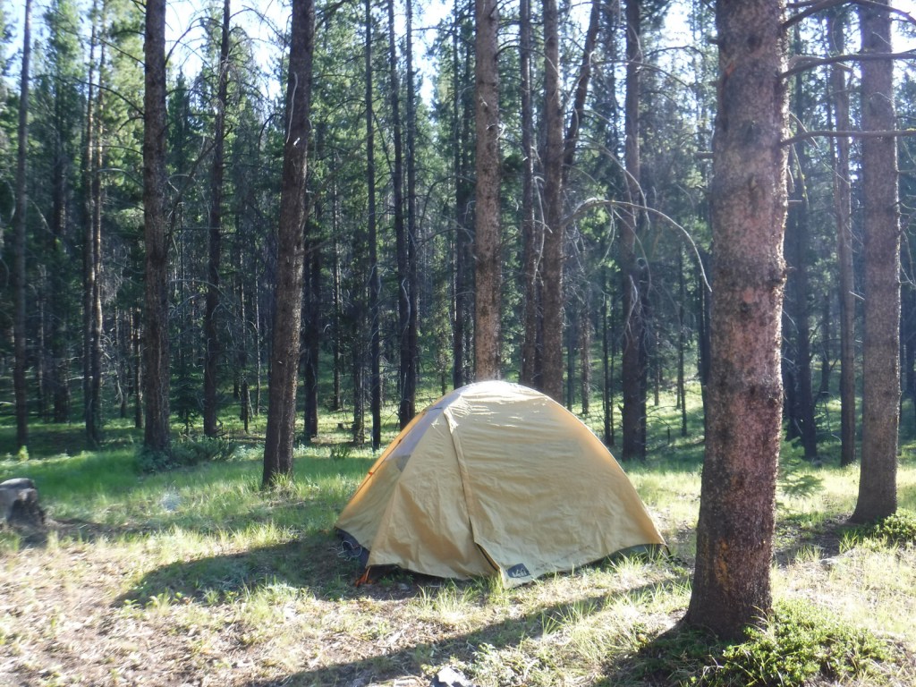
Camping
There is a campground in Seaquest State Park on Silver Lake near Interstate 5, plus dispersed camping is allowed in parts of Gifford Pinchot National Forest.
Related Sites
Mount Rainier National Park (Washington)
Lake Chelan National Recreation Area (Washington)
Oregon Caves National Monument and Preserve (Oregon)


Explore More – Opened in 1997, Johnston Ridge Observatory is named for whom?