Tag Archives: film

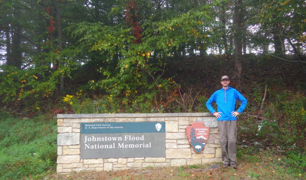
Johnstown Flood National Memorial

Overview

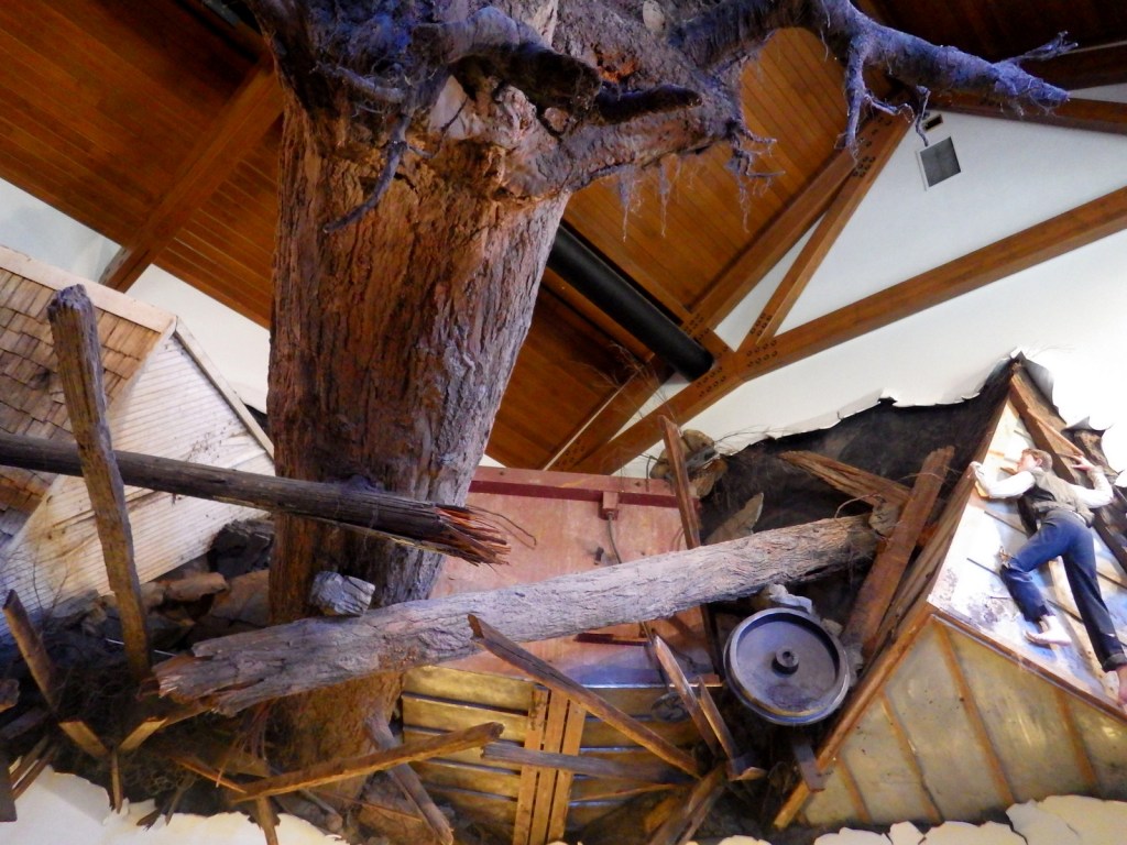
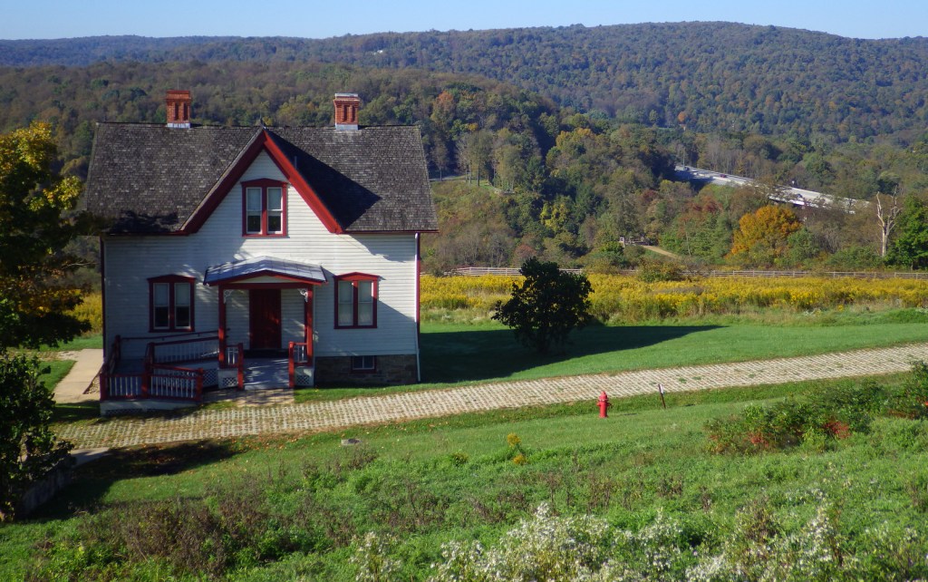
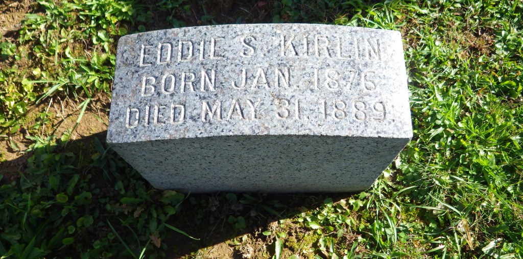
May 31, 1889 was the infamous day when a dam broke sending a 40-foot wall of water downstream, leveling multiple towns and killing more than 2,200 people.  The earthen South Fork Dam was designed for a lower lake level, was poorly maintained since 1853, and was completely ignored by the South Fork Fishing and Hunting Club (with wealthy members such as Andrew Carnegie and Andrew Mellon).  Clara Barton’s newly formed American Red Cross sent a staff of 50 doctors and nurses to assist with recovery efforts, which took years.

Highlights

Museum, film, South Fork Fishing and Hunting Club Historic District, Grandview Cemetery

Must-Do Activity

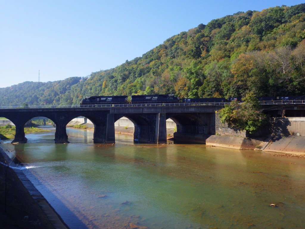
Start your visit at the National Park Service (NPS) museum at the dam site in South Fork, Pennsylvania.  The 35-minute film shown there is not appropriate for young children.  A driving tour leads around the dry lakebed to the South Fork Fishing and Hunting Club Historic District.  Much of the Little Conemaugh River downstream is not accessible by roads, but be sure to drive downstream to Johnstown to visit the Grandview Cemetery and, if you have time, the Johnstown Flood Museum (admission fee). Every year since 1989 on the anniversary, the NPS lights 2,209 luminaria in memoriam.

Best Trail

There is a trail that follows a portion of the Little Conemaugh River and leads to Staple Bend Tunnel, part of Allegheny Portage Railroad National Historic Site.

Instagram-worthy Photo

A memorial to the unidentified victims of the May 31, 1889 flood stands in Grandview Cemetery in Johnstown, Pennsylvania.

Peak Season

Summer

Hours

https://www.nps.gov/jofl/planyourvisit/hours.htm

Fees

None, except at the unaffiliated Johnstown Flood Museum in Johnstown, Pennsylvania

Road Conditions

The main access roads are paved, but some of the smaller roads to the Little Conemaugh River may not be.

Camping

Prince Gallitzin State Park offers a campground with showers 20 miles northwest of Altoona, Pennsylvania.

Related Sites

Flight 93 National Memorial (Pennsylvania)

Fort Necessity National Battlefield (Pennsylvania)

Allegheny Portage Railroad National Historic Site (Pennsylvania)
Explore More – Where did the miles of barbwire that wrapped around the flood debris originate?

Fort Larned National Historic Site

Overview

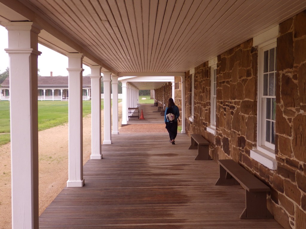
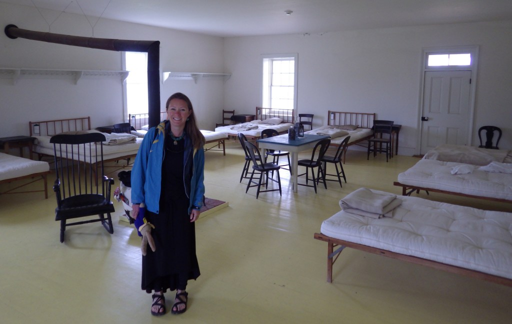
This Santa Fe Trail fort was only active from 1860 to 1878, but after becoming private property it continued to function as a working ranch which explains why it is in such good shape today.  Costumed re-enactors are really what make this National Park Service (NPS) site special, though, from the blacksmith to the schoolteacher to the commissar to the officers’ wives.  They love to share stories of this extraordinary place.  Surrounded by open fields, it is easy to feel like you are 150 years in the past while touring the grounds.

Highlights

Museum, film, commissary, officers’ quarters, barracks, reconstructed blockhouse

Must-Do Activity

As we walked across the bridge over the Pawnee River towards Fort Larned on a foggy Memorial Day morning, we watched a horse-drawn carriage heading that way, too.  Much to our surprise, the driver (a volunteer) stopped to ask if we would like to hop in for a ride.  Passing through the fog, it was like being carried back in time.  To learn more history, head to the Santa Fe Trail Center in the town of Larned, Kansas.

Best Trail

The parking area is a short walk from the fort, then a self-guided trail (brochure available at the NPS visitor center) leads to stops around the 718-acre site.

Instagram-worthy Photo

Two soldier re-enactors looked ghostly in the glass while watching the blacksmith work his magic.

Peak Season

Summer

Hours

https://www.nps.gov/fola/planyourvisit/hours.htm

Fees

None

Road Conditions

The access road to the main site is paved, but to visit the Santa Fe Trail Ruts Area requires driving an unpaved county road.

Camping

There is a private campground in Larned, Kansas, plus Kansas has a good State Parks system.

Related Sites

Fort Scott National Historic Site (Kansas)

Bent’s Old Fort National Historic Site (Colorado)

Fort Union National Monument (New Mexico)

Explore More – For whom is Fort Larned named?

Colorado National Monument

Overview

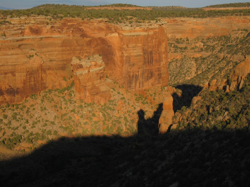
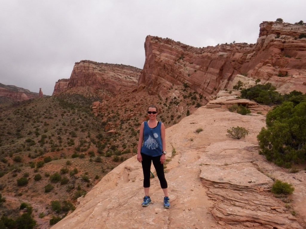
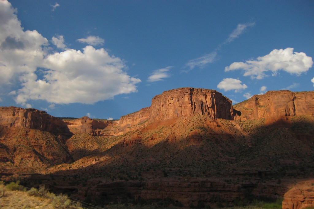
The name Colorado translates from Spanish as “red colored” and Colorado National Monument is exactly that.  From the numerous overlooks along Rim Rock Drive, the farm-dotted Colorado River Valley stretches out to the Book Cliffs and the evergreen forests of Grand Mesa.  But your attention will be drawn to the red rock formations in the foreground, like Independence Monument topped by an improbably placed American flag.  Do not miss a visit to neighboring McInnis Canyons National Conservation Area (held by the Bureau of Land Management), which has been proposed to be combined with Colorado National Monument to form a new National Park.

Highlights

Museum, film, Rim Rock Drive, Serpents Trail, Independence Monument View, Liberty Cap Trail

Must-Do Activity

Enjoy the stellar scenery and hiking while watching the cliffs for raptors, especially during the golden hours when the red rocks really shine.  While Interstate 70 offers easy access to the National Monument on the way to Arches National Park, we recommend heading south along twisty Highway 141, passing through stunning Dolores Canyon.

Best Trail

There are many great (and steep) canyon hikes in this area, including the former roadbed of Serpents Trail, once known as the “Crookedest Road in the World” until closed to vehicles following a highway reroute in 1950.

Instagram-worthy Photo

Sunrise and sunset are the best times for photography at the numerous overlooks along 23-mile Rim Rock Drive.

Peak Season

Summer

Hours

https://www.nps.gov/colm/planyourvisit/hours.htm

Fees

$25 per vehicle or America the Beautiful pass

Road Conditions

All roads paved

Camping

From Saddlehorn Campground you can see the lights of Grand Junction, Colorado and Interstate 70, but up here you feel like all of that is a million miles away.  Free backcountry camping permits are also available.

Related Sites

Mesa Verde National Park (Colorado)

Black Canyon of the Gunnison National Park (Colorado)

Canyonlands National Park (Utah)

Explore More – John Otto petitioned hard for the creation of Colorado National Monument in 1911 and served as its caretaker for 26 years at what ridiculously low salary?

Assateague Island National Seashore

Overview

Assateague Island National Seashore was authorized in 1963, twenty years after neighboring Chincoteague National Wildlife Refuge was established to protect migratory birds, like the greater snow goose.  In combination with Assateague State Park they protect a 37-mile stretch of undeveloped shoreline that crosses the border of Maryland and Virginia (and is very close to Delaware).  The National Park Service (NPS) manages the National Seashore and the U.S. Fish and Wildlife Service manages the National Wildlife Refuge, but there is also an NPS visitor center at the refuge.

Highlights

Museum, film, Assateague Lighthouse, wildlife, kayaking, swimming, beachcombing

Must-Do Activity

Assateague Island’s most renowned residents are its wild ponies, purported to have swum ashore from a wrecked Spanish galleon.  Every year since the 1700s, the Chincoteague Volunteer Fire Company has herded the ponies that live on Assateague Island for an auction to raise funds for firefighting.  This annual event was chronicled in the classic children’s book Misty of Chincoteague by Marguerite Henry (which made our Top 10 NPS Novels list).  The ponies can often spotted by hikers on the Woodland Trail, a three-mile loop hike.  Nearby there is also a free NASA visitor center at Wallops Flight Facility where they launch rockets.

Best Trail

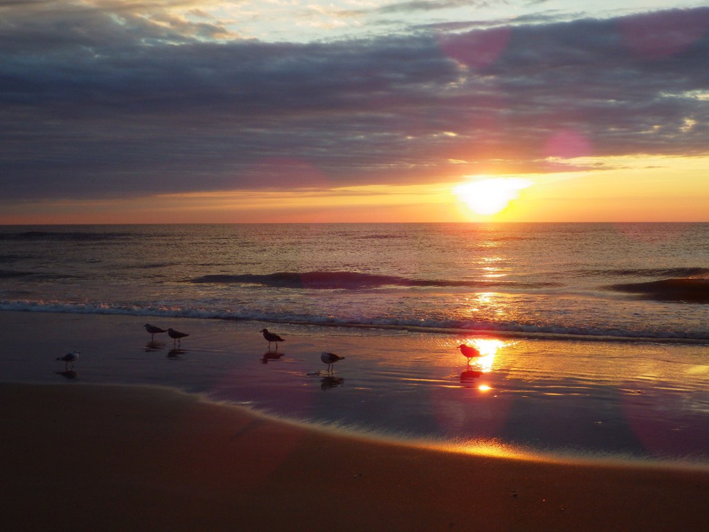
We mentioned the Woodland Trail above, but this park is all about walking the beach, especially the 10 miles of wild beach only accessible by foot within Chincoteague National Wildlife Refuge.

Instagram-worthy Photo

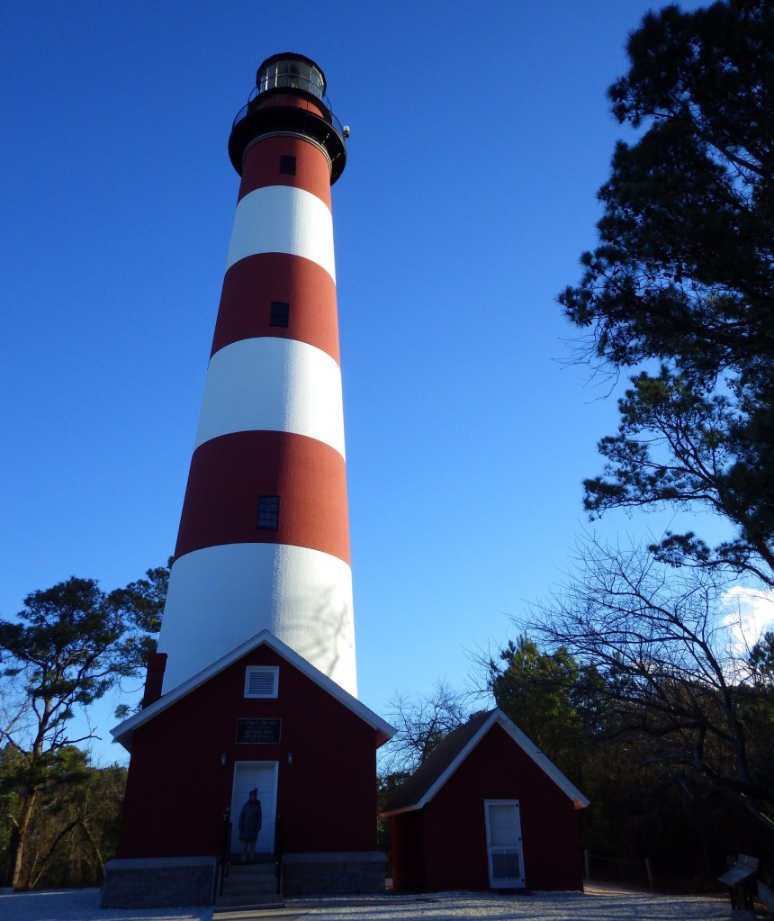
The first Assateague Lighthouse was built in 1833, while the structure seen today was completed in 1867.

Peak Season

Summer

Hours

https://www.nps.gov/asis/planyourvisit/hours.htm

Fees

$25 per vehicle or America the Beautiful pass

Road Conditions

The access roads are paved, but with a permit you can drive 13 miles of beach on the Maryland side and five miles on the Virginia side.  It takes about 1.2 hours to drive the highways between the north and south bridges to Assateague Island.

Camping

On the Maryland side, the NPS operates two campgrounds with cold showers, but the one in Assateague State Park offers hot showers.  Two oceanside backpacking camps and four bayside kayak-in camps are also available by permit.

Related Sites

Harriet Tubman Underground Railroad National Historical Park (Maryland)

First State National Historical Park (Delaware)

Cape Hatteras National Seashore (North Carolina)

Explore More – Not just a safe haven for wild ponies, where in the National Seashore do seahorses anchor to underwater grasses?

Frederick Law Olmsted National Historic Site

Overview

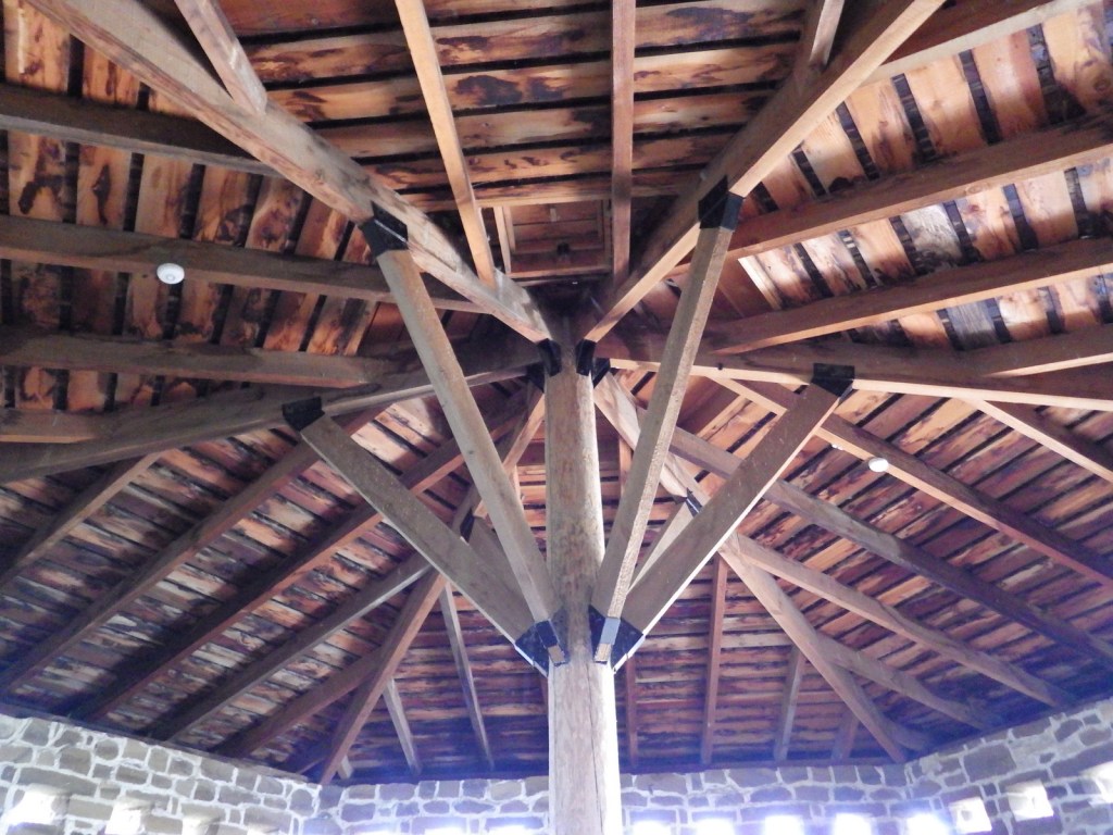
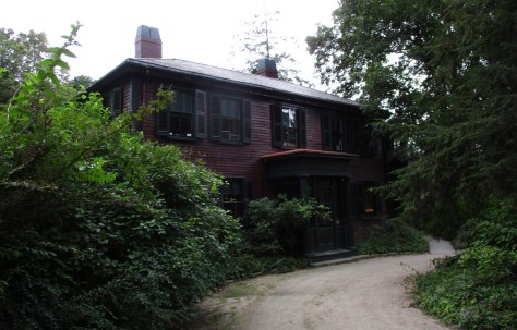
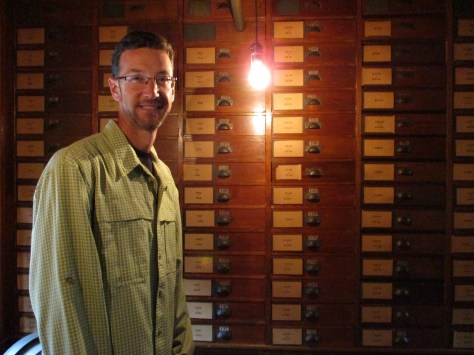
Frederick Law Olmsted, Sr. (1822-1903) is considered the founder of American landscape architecture.  His most famous designs include New York City’s Central Park and the Biltmore Estate in North Carolina, but he also created the protective ramada for Casa Grande Ruins National Monument in Arizona.  This seven-acre site outside Boston, Massachusetts was authorized in 1979 to preserve his house and the Olmsted Archives for future researchers.

Highlights

Museum, film, office tour, Olmsted Archives

Must-Do Activity

In 1883, Frederick Law Olmsted, Sr. moved to Brookline, Massachusetts to establish the world’s first landscape design office.  Self-guided exhibits and a short film inside his home (called Fairsted) are a good place to start before a ranger-guided tour of his office space full of historical artifacts and documents.  Occasionally, rangers lead tours of some of Olmsted’s parks in “The Emerald Necklace” of Boston.

Best Trail

There is a short path on the property and you can also walk to nearby Brookline Reservoir.

Instagram-worthy Photo

Relax on the veranda of Fairsted before or after your tour, which is especially nice when it is raining like during our visit.

Peak Season

Summer

Hours

https://www.nps.gov/frla/planyourvisit/hours.htm

Fees

None

Road Conditions

All roads are paved, but the parking lot is small and street parking in the surrounding neighborhood may be necessary.  It is a bit of a walk from the Brookline Hills Subway Station.

Camping

Wompatuck State Park south of Boston has the nearest large campground, but camping is also allowed in parts of Boston Harbor Islands National Recreation Area.

Related Sites

Boston National Historical Park (Massachusetts)

Adams National Historical Park (Massachusetts)

Longfellow House – Washington’s Headquarters National Historic Site (Massachusetts)

Explore More –Frederick Law Olmsted’s 1865 report was influential in the protection of which “crown jewel” of the National Park Service System?