Kaniksu National Forest
Idaho, Montana, Washington
Managed by U.S. Forest Service, Northern Region
1,833,582 acres (1,628,024 federal/ 205,558 other)
Website: https://www.fs.usda.gov/ipnf
Overview
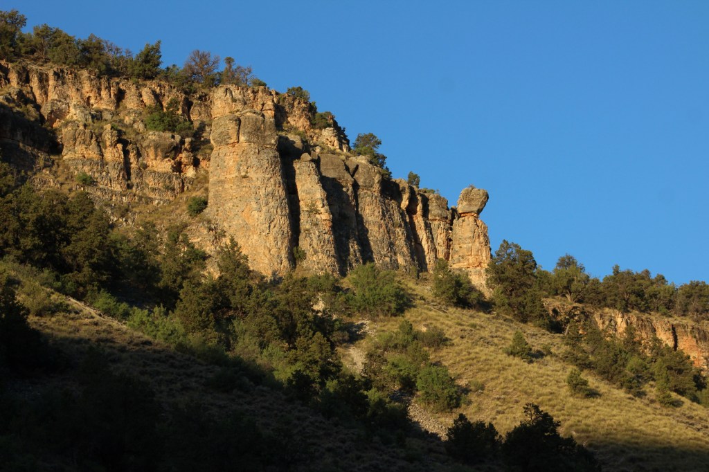
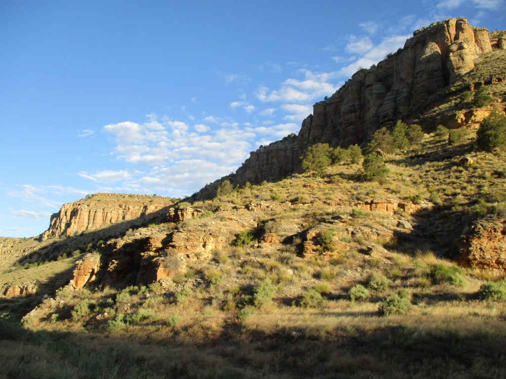
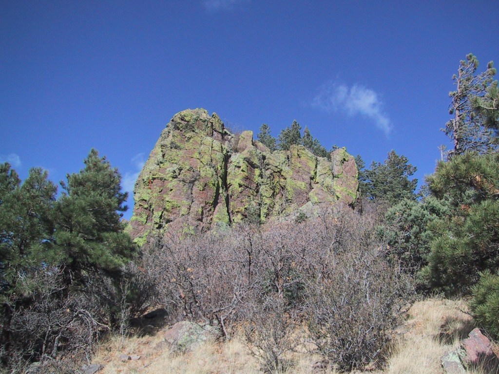
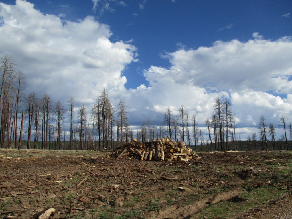
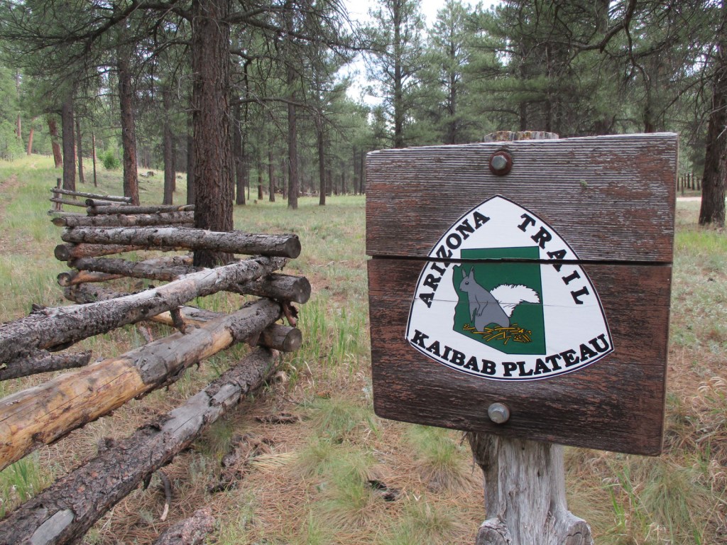
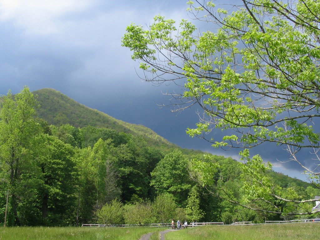
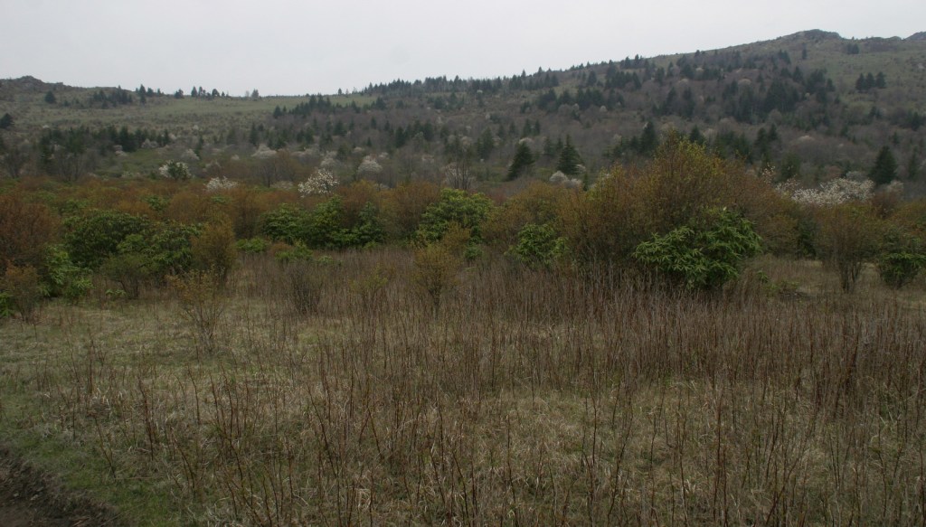
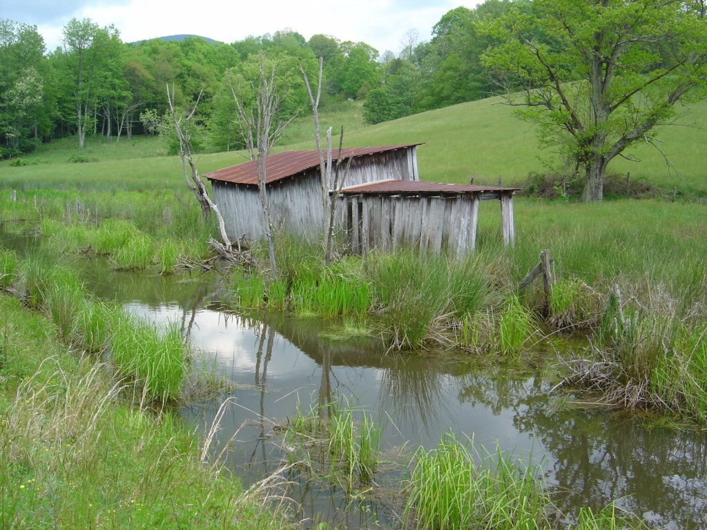
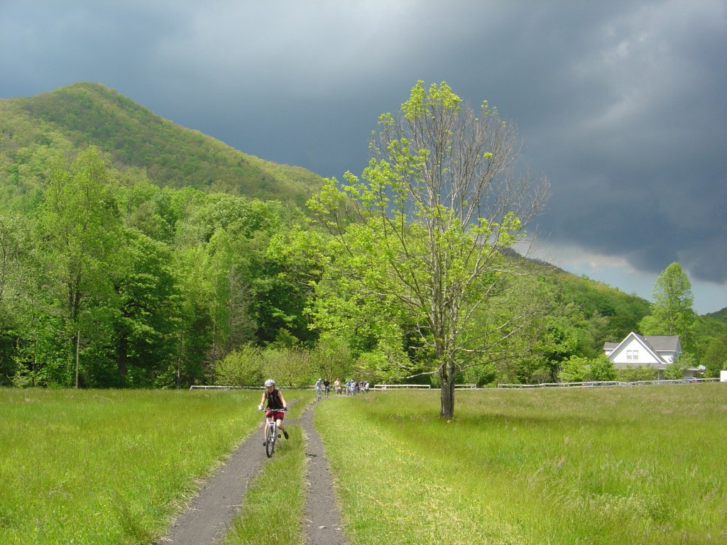
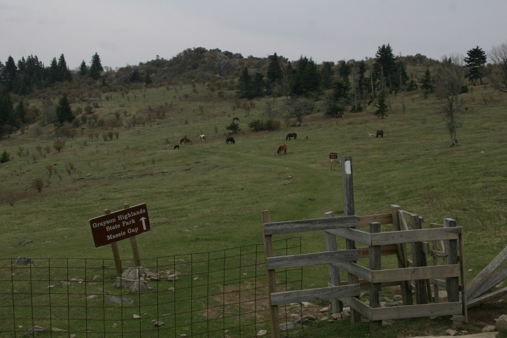
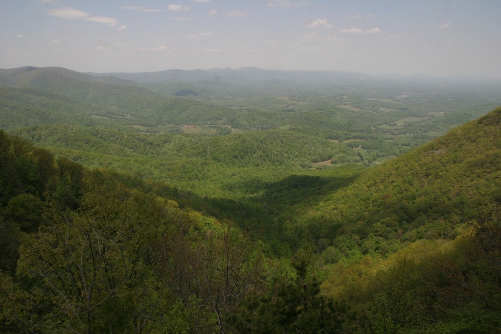
In the mountainous tip of the Idaho pandhandle bordering Canada, Kaniksu National Forest stretches into three states. Recreational opportunities surround three major rivers and two large natural bodies of water: Lake Pend Oreille and Priest Lake. As you might imagine in a place this wet, waterfalls abound (see Must-Do Activity). Coeur d’Alene National Forest is located on both sides of Interstate 90, east of the city of Coeur d’Alene, which was the French name given to the indigenous people. In 1973, Kaniksu National Forest was joined with Coeur d’Alene and St. Joe National Forests to form Idaho Panhandle National Forests.

Highlights
Priest Lake, Northeast Peak Scenic Area, Lake Pend Oreille, Bottle Lake, Snow Creek Falls, Chimney Rock, Huff Lake, Canyon Creek Natural Area, Copper Falls, Gunsight Peak, Hahn Lake, Hanna Flats Nature Trail, Gold Hill Trail
Must-Do Activity
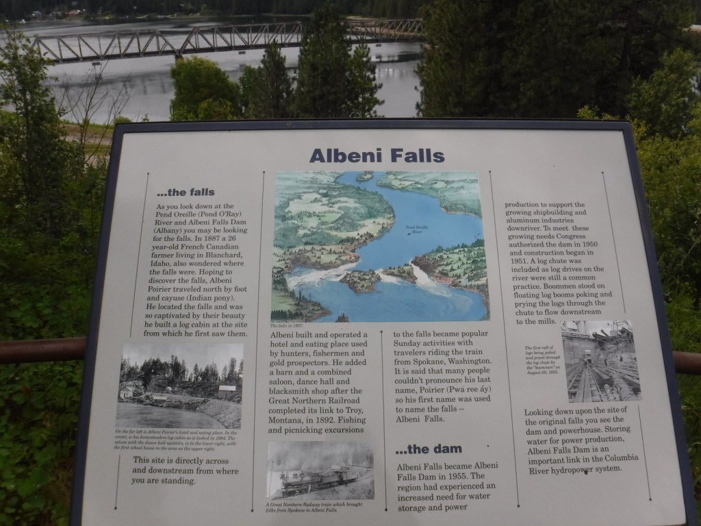
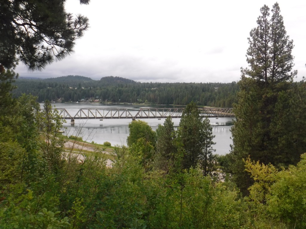
As you might imagine in a place this wet, waterfalls abound, including 160-foot Copper Falls, 150-foot Jeru Creek Falls, 75-foot Wellington Creek Falls, and 75-foot Char Falls. South of Bonners Ferry, a forest road leads to Snow Creek Falls with an upper drop of 125 feet and a lower plunge of 75 feet. Rapid Lightning Falls, Grouse Creek Falls, and Torelle Falls are also in Kaniksu National Forest. If you want to see more waterfalls, Moyie Falls drops 140 feet in a series of cascades located just outside the National Forest and there is a roadside pullout at Albani Falls Dam on the Pend Oreille River. A paved scenic byway follows the north shore of Lake Pend Oreille and the Clarks Fork River into Montana.
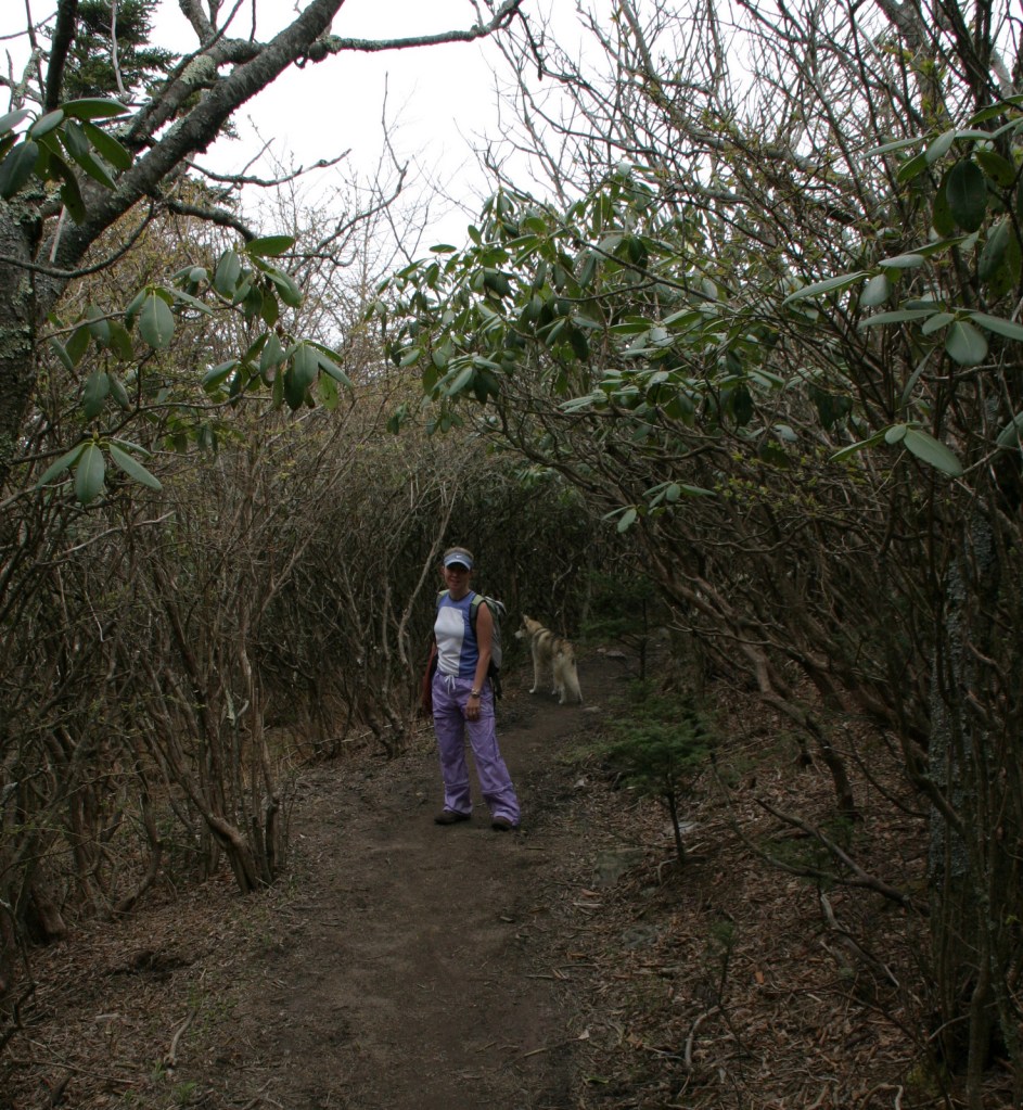
Best Trail
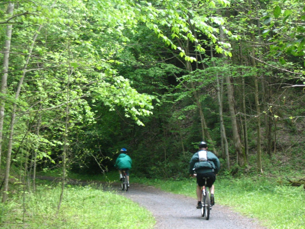
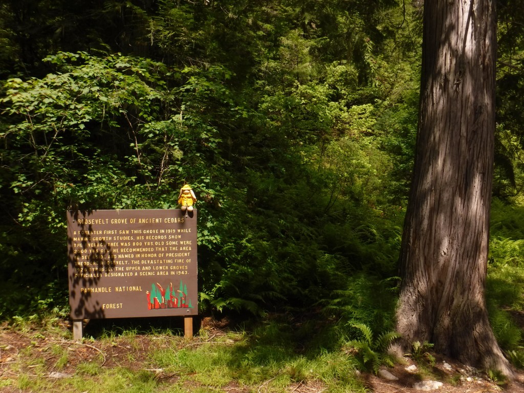
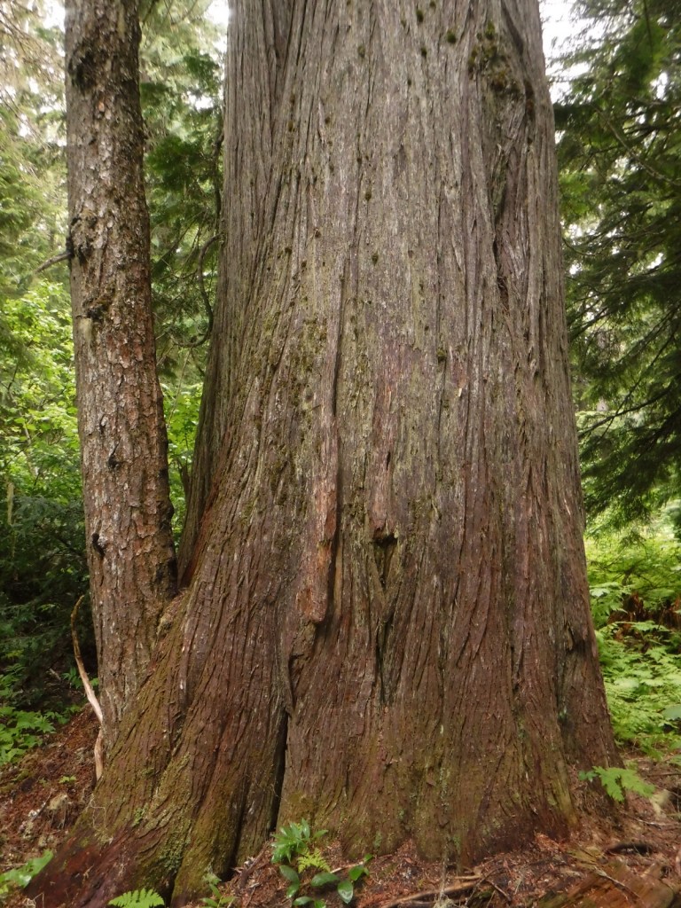
First discovered by a forester in 1919, the Roosevelt Grove of Ancient Cedars Scenic Area in Washington was named in honor of Theodore Roosevelt. A 1926 fire killed three-quarters of the trees, leaving two smaller remnant patches. Most of the western redcedars are around 800 years old, but some of them are estimated to be more than 2,000 years old. Of course, since this is Kaniksu National Forest there is also a trail here to a waterfall, with a one-mile loop climbing 200 feet to an overlook. From that point it is only a half-mile walk to the 20-acre Upper Grove. The trail leaves from the colorfully-named Stagger Inn Trailhead, which gets its moniker from a 1926 fire camp located an exhausting 14-mile hike from the nearest road.
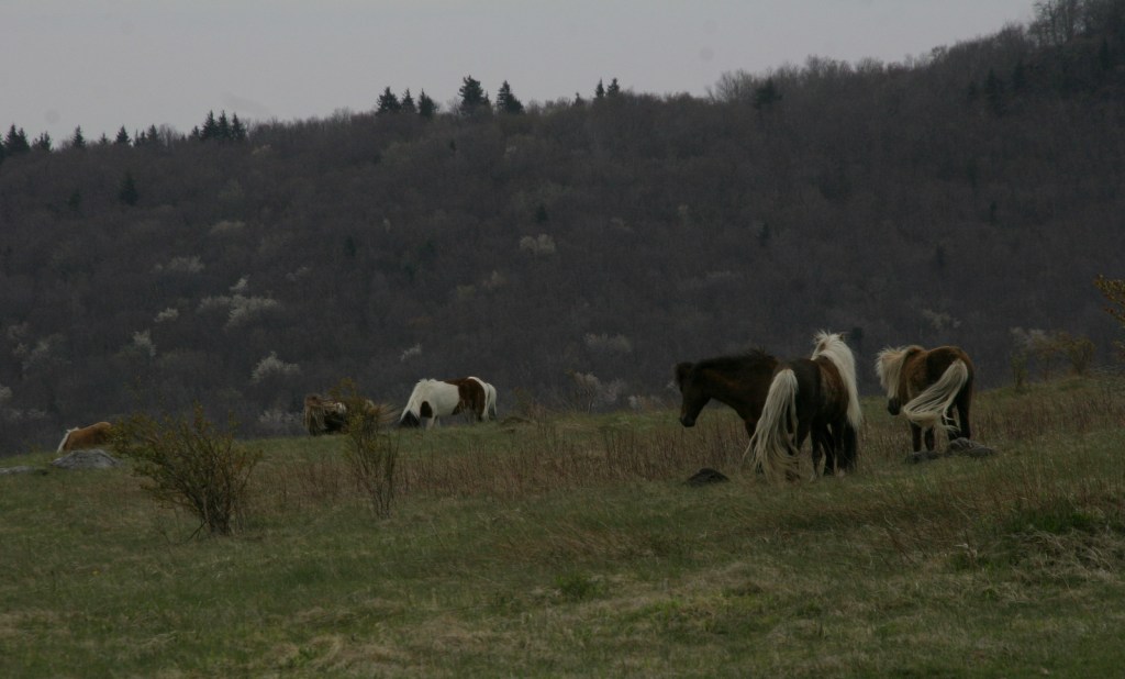
Watchable Wildlife
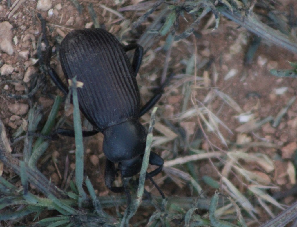
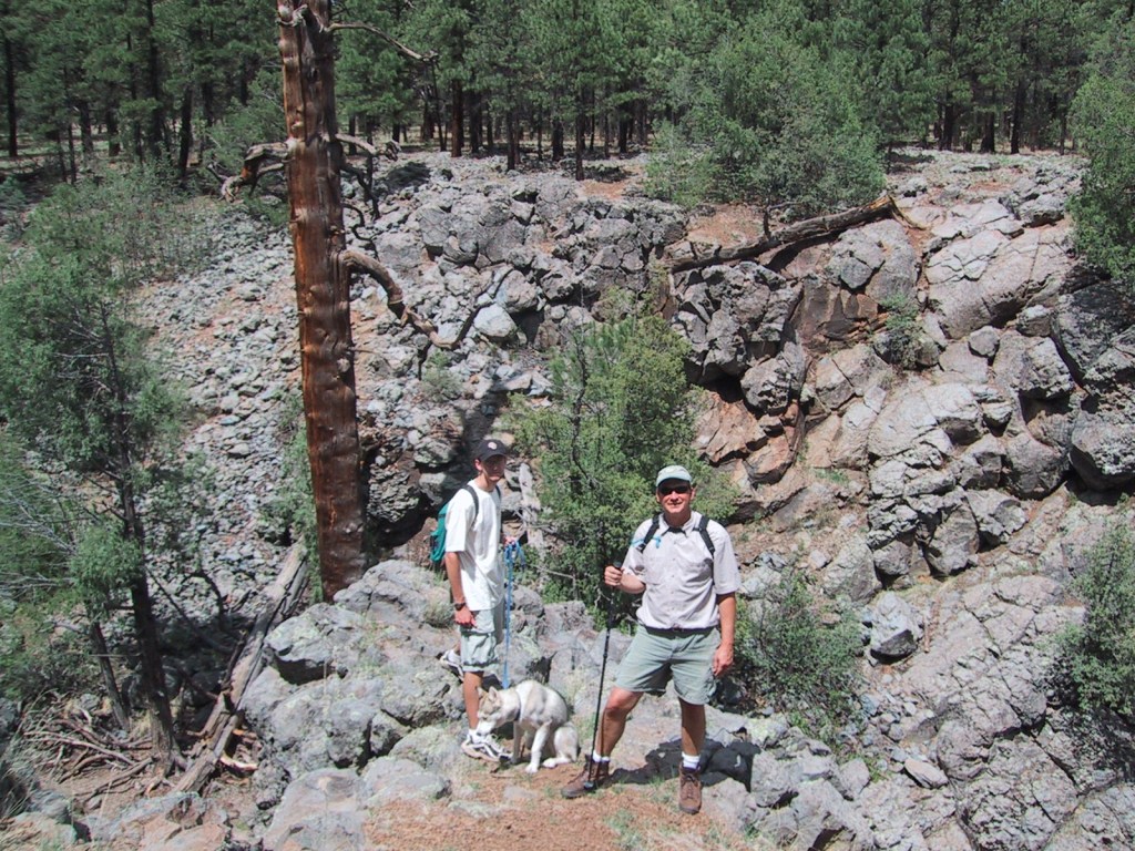
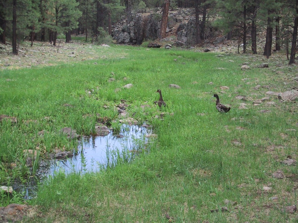
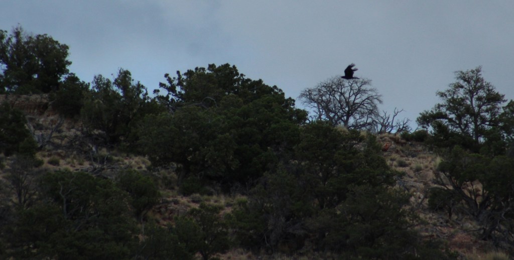
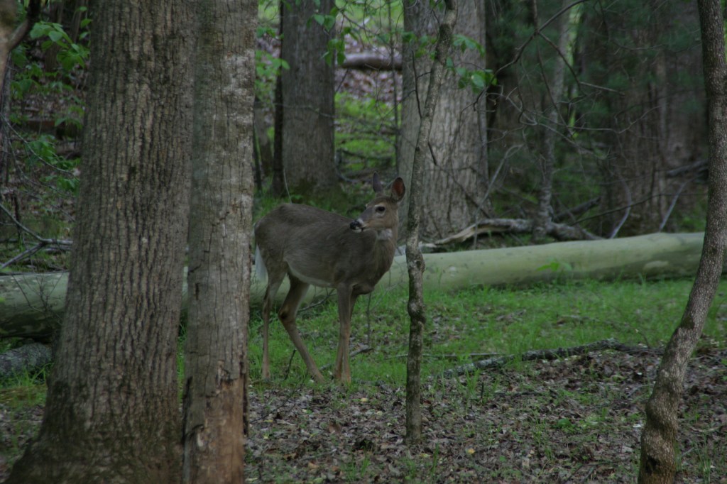
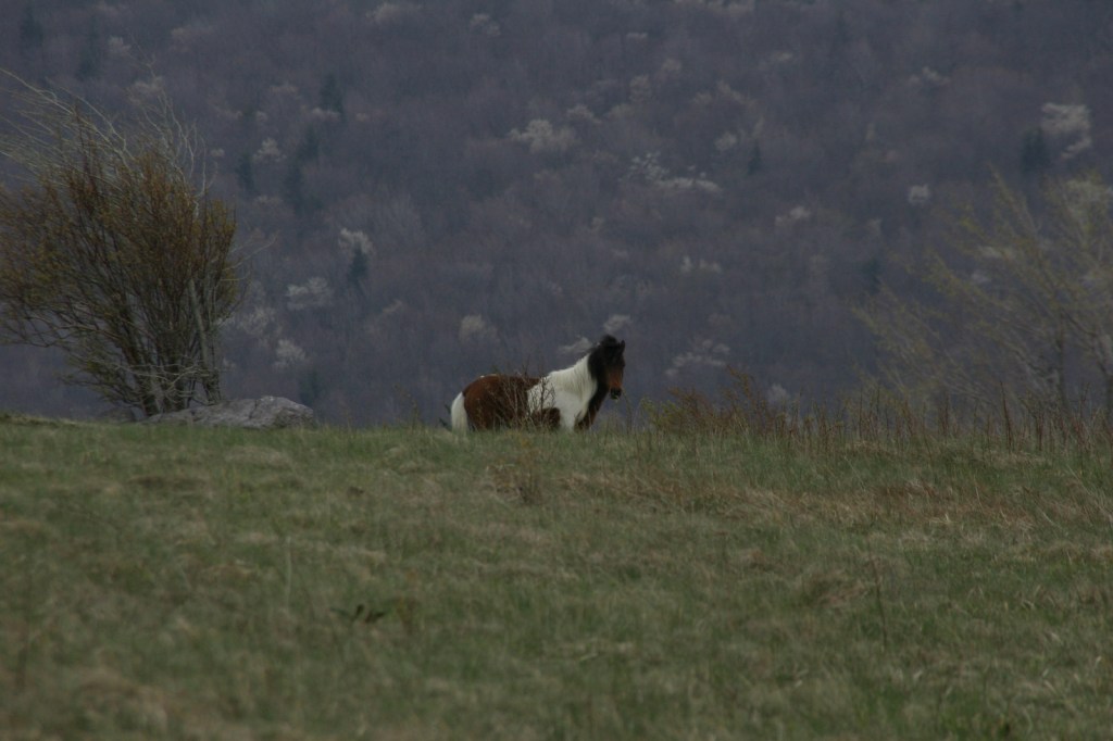
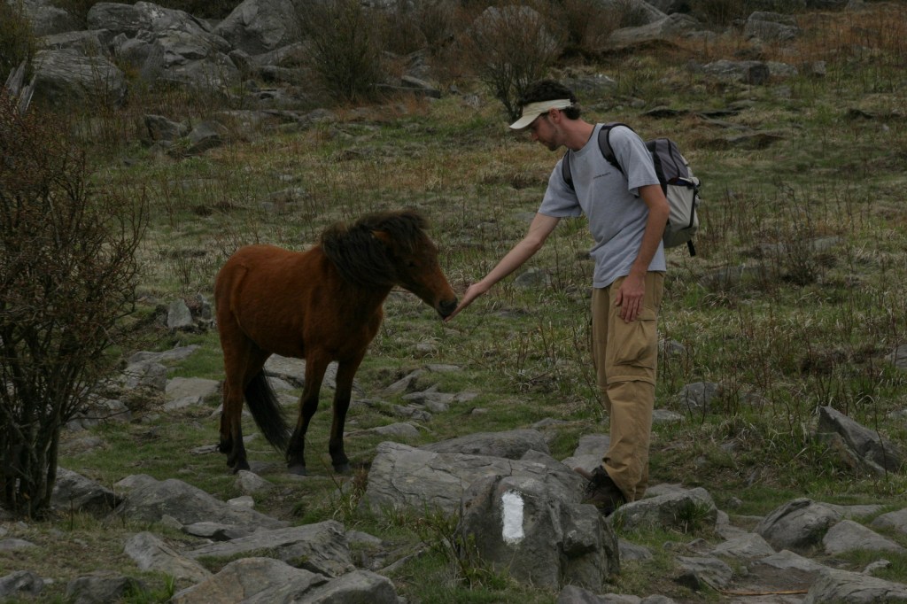
Kaniksu National Forest is home to mule deer, elk, moose, black bears, bobcats, coyotes, and mountain lions. This close to Canada, it is also possible to find grizzly bears and gray wolves. The Selkirk Mountains represent the sole place in the contiguous U.S. where you might see mountain caribou. Common large birds include ospreys, golden eagles, bald eagles, wild turkeys, and ravens. The National Forest borders Lake Pend Oreille and Priest Lake, plus it contains many of the rivers and creeks that feed them, which provide incredible fishing opportunities.
Photographic Opportunity
At the Roosevelt Grove of Ancient Cedars Scenic Area, a one-mile loop trail climbs to a vista above Lower Granite Falls where Upper Granite Falls may be viewed.

Peak Season
Summer
Fees
None
Road Conditions
A long dirt road (FR 302) leads to the Roosevelt Grove of Ancient Cedars Scenic Area in Washington (and continues west into neighboring Colville National Forest), but it is maintained in good condition for passenger vehicles, although not all forest roads are.
Camping
There are numerous campgrounds on the west side of Priest Lake and around Lake Pend Oreille, plus dispersed campsites along the dirt roads near the Roosevelt Grove of Ancient Cedars Scenic Area.
Wilderness Areas
Cabinet Mountains Wilderness (also in Kootenai National Forest)
Salmo-Priest Wilderness (also in Colville National Forest)
Related Sites
Coeur d’Alene National Forest (Idaho)
Clearwater National Forest (Idaho)
Nez Perce National Historical Park (Idaho-Oregon-Montana)
Nearest National Park


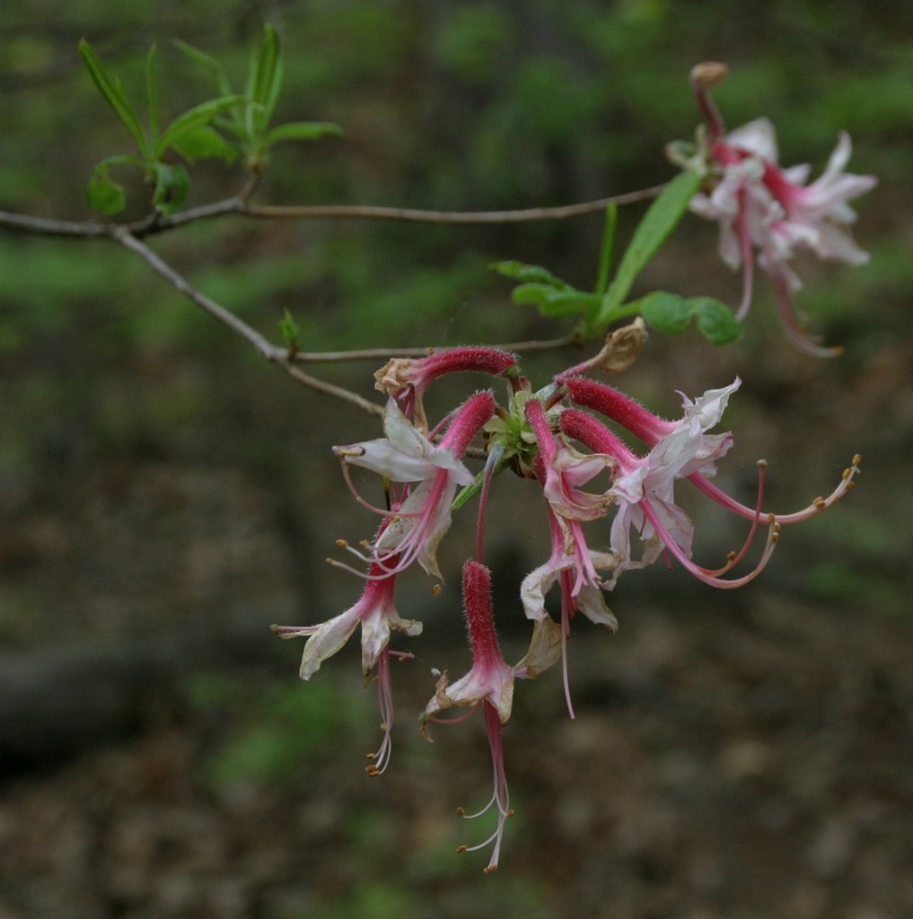
western redcedar, ponderosa pine, lodgepole pine, western white pine, whitebark pine, Douglas-fir, grand fir, subalpine fir, Engelmann spruce, western hemlock, mountain hemlock, western larch
Rocky Mountain maple, quaking aspen, Pacific dogwood, balsam poplar, dwarf birch, paper birch, Piper’s hawthorn, boxelder, Bebb willow, western mountain-ash, choke cherry, western serviceberry, red alder, mountain alder
Explore More – Kaniksu is derived from a Kalispel Indian word meaning what?

Learn more about this and the 154 other National Forests in our new guidebook Out in the Woods
We are a participant in the Amazon Services LLC Associates Program, an affiliate advertising program designed to provide a means for us to earn fees by linking to Amazon.com and affiliated sites.