Overview
This National Park in southern California is named for a tall yucca plant that grows there in large numbers, but it also contains many other interesting desert life forms and neat rock formations. In the less-developed southern portion of the park, be sure to stop at the palm trees at Cottonwood Spring, Cholla Cactus Garden, and Ocotillo Patch to learn more about how these unique plants have adapted to survive the harsh desert conditions.
Learn more in our guidebook to the 62 National Parks, A Park to Yourself: Finding Adventure in America’s National Parks (available on Amazon).
Highlights
Jumbo Rocks, Keys View, Arch Rock, Cottonwood Spring, rock climbing
Must-Do Activity
Due to its proximity to Los Angeles, the park gets very busy on Easter weekend (in addition to Thanksgiving weekend). Campgrounds, like scenic Jumbo Rocks, fill up early. Other than rock climbing opportunities, the biggest attraction is the myriad of colorful wildflowers that bloom in the spring (including the Joshua trees).
Best Trail
There are many fun hiking options located throughout the park (which are detailed in our guidebook). At White Tank Campground you can pick up the Arch Rock Nature Trail, which forms a short loop that passes an interesting arch.
Instagram-worthy Photo
Chuckwallas are huge lizards that can grow up to 18 inches long and are related to iguanas. Chuckwallas can inflate themselves as a defense mechanism so that predators cannot remove them from narrow cracks in the rock.

Peak Season
Spring and fall
Hours
https://www.nps.gov/jotr/planyourvisit/hours.htm
Fees
$30 per vehicle or America the Beautiful pass
Road Conditions
All major roads are paved, but there are many dirt roads to explore with the right vehicle.
Camping
There are numerous NPS campgrounds located throughout the park, and some take reservations. The scenic Jumbo Rocks Campground is popular with rock climbers.
Related Sites
Death Valley National Park (California)
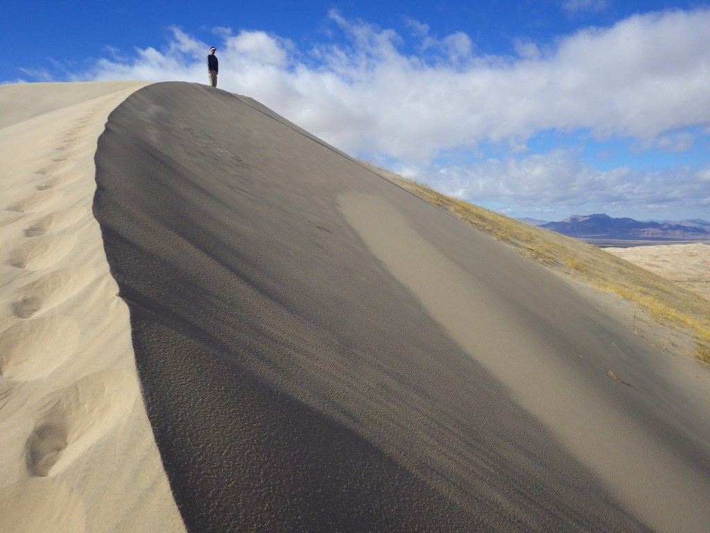
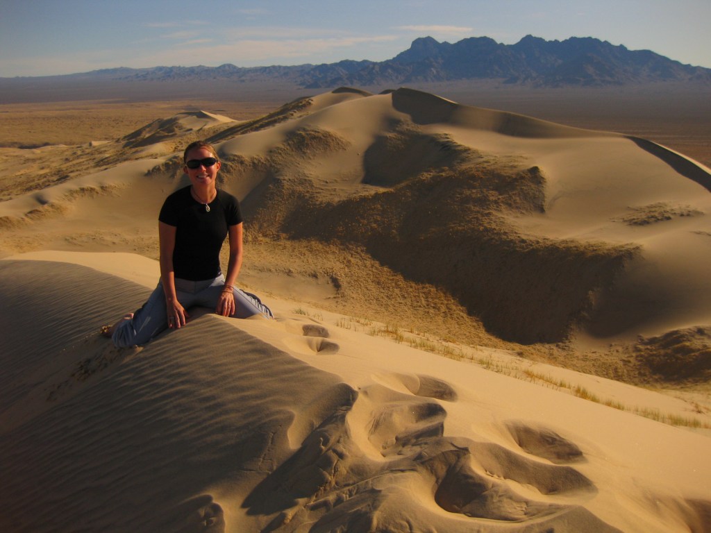
Mojave National Preserve (California)
Castle Mountains National Monument (California)

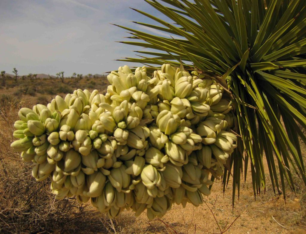
Joshua tree in bloom 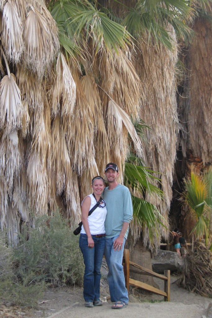
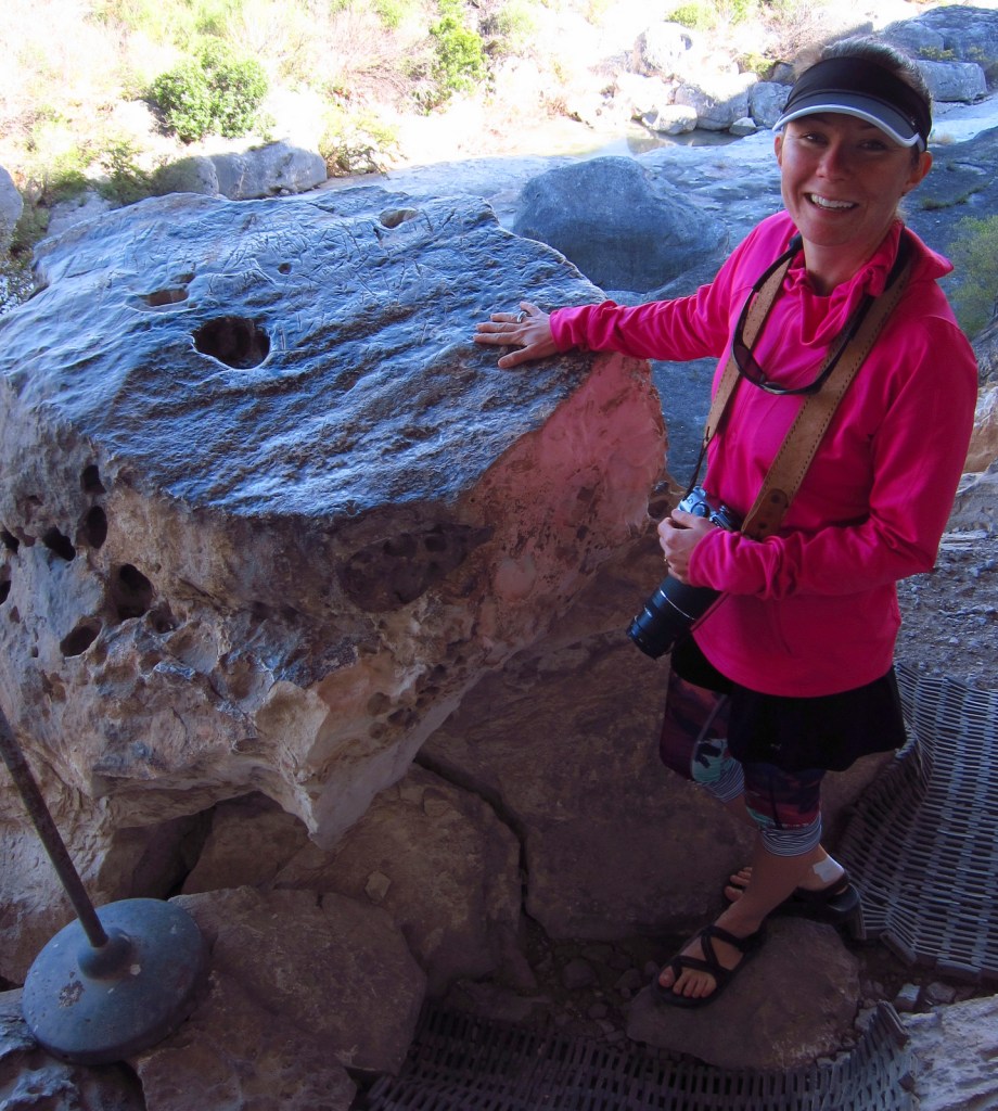
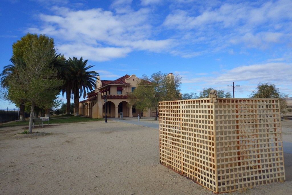
Scott and Tiff at Cottonwood Spring 
Ocotillo bloom 
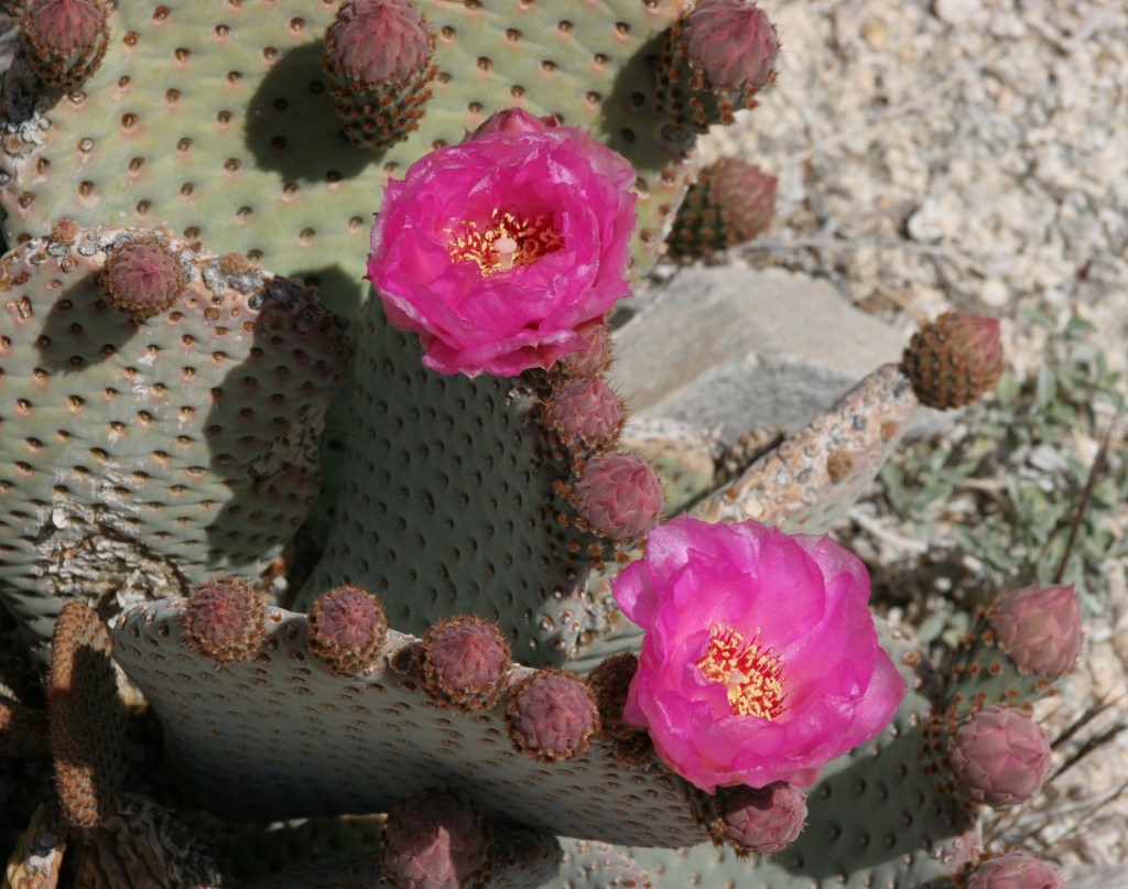
Prickly pear blooms 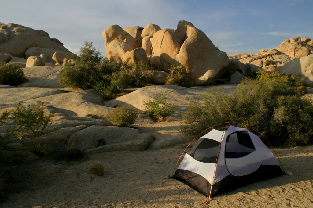
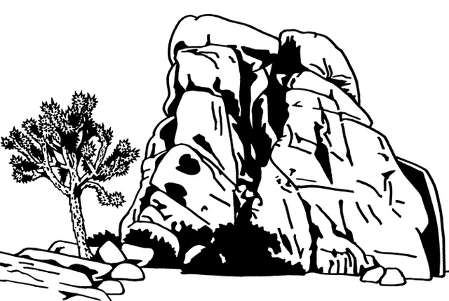
Jumbo Rocks Campground 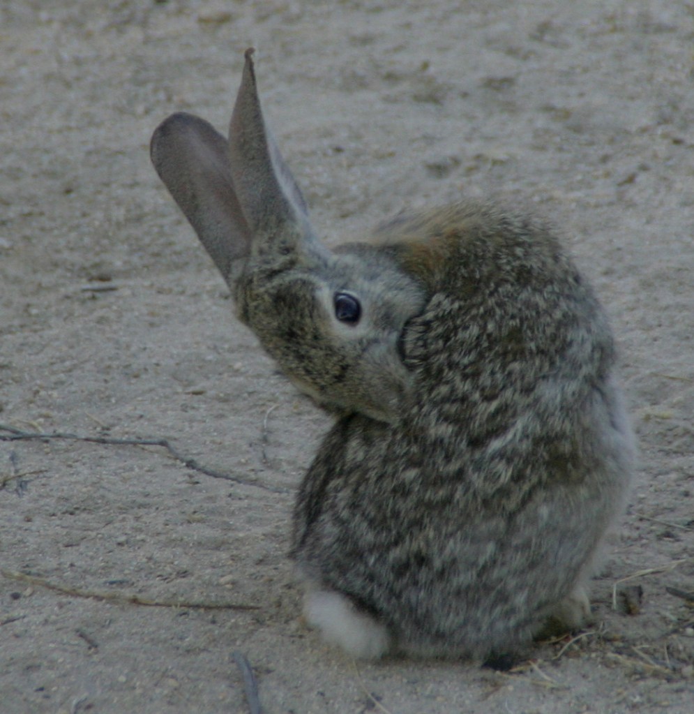
Cottontail rabbit in Jumbo Rocks Campground 

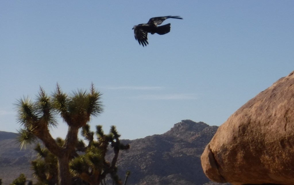
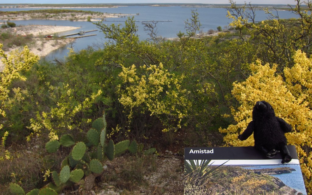
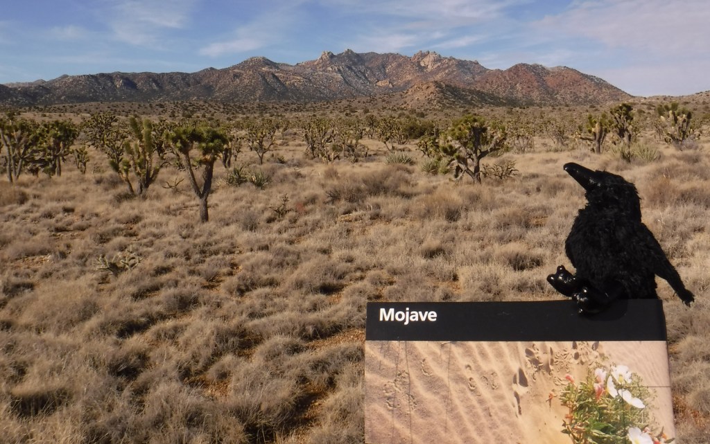
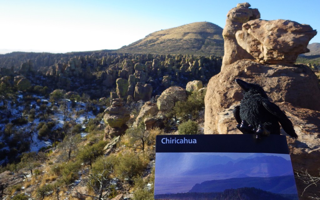
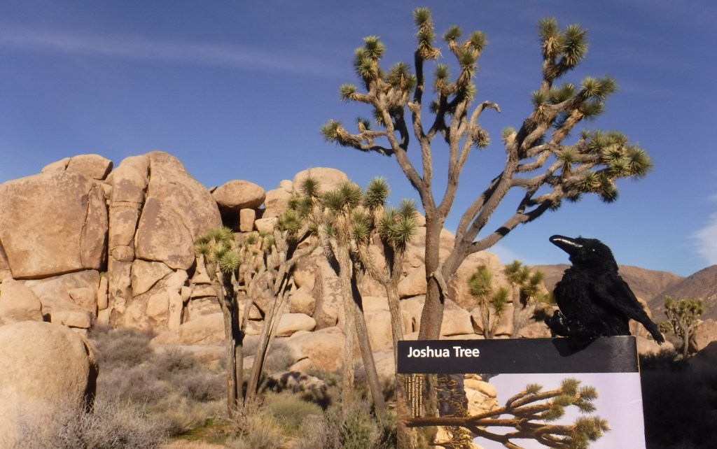
Raven about the park


Explore More – How tall can Joshua trees grow?


We are a participant in the Amazon Services LLC Associates Program, an affiliate advertising program designed to provide a means for us to earn fees by linking to Amazon.com and affiliated sites.