Katmai National Park and Preserve
Alaska
Managed by National Park Service
Established 1918 National Monument, 1980 National Park
3,674,529 acres
Website: nps.gov/katm
Overview
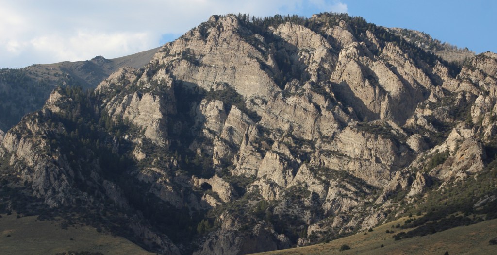
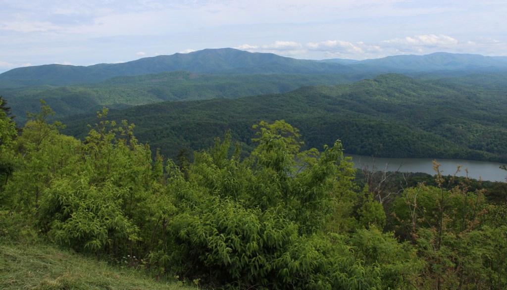
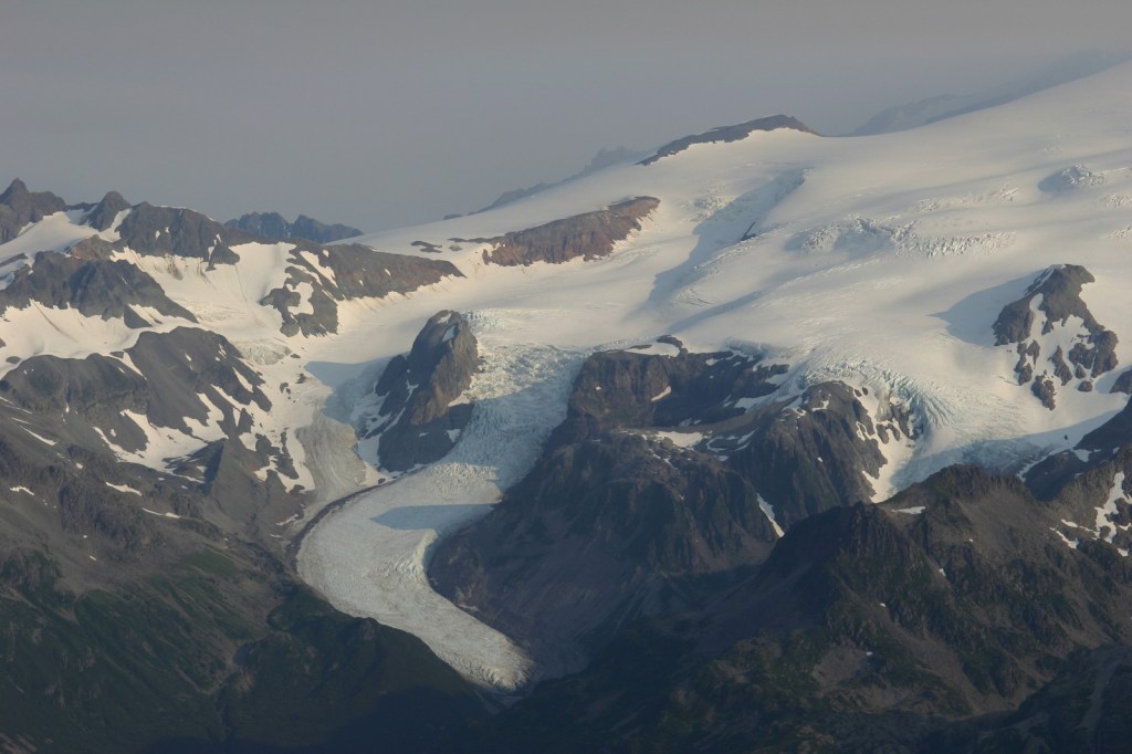
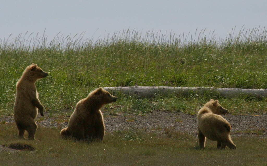
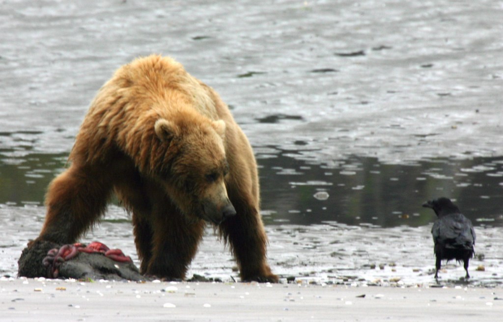
Katmai National Monument was created after the Novarupta Volcano erupted in 1912 (an event recorded in the skinny tree rings grown throughout Alaska that year). Ash fell in Seattle (1,500 miles away) and piled up to 700 feet deep in the Valley of Ten Thousand Smokes. The valley is no longer smoking, but it is there are still 15 active volcanoes within the park’s boundaries. This remote park on the Alaska Peninsula has few roads and is only accessible by airplane (typically equipped with floats for water landings). Oh yeah, and there are lots of grizzly bears, or brown bears as they are called in coastal areas of Alaska.
Highlights
Brooks Falls, North Arm of Naynek Lake, Hallo Bay, Valley of Ten Thousand Smokes, Baked Mountain Huts, Savonoski Loop
Must-Do Activity
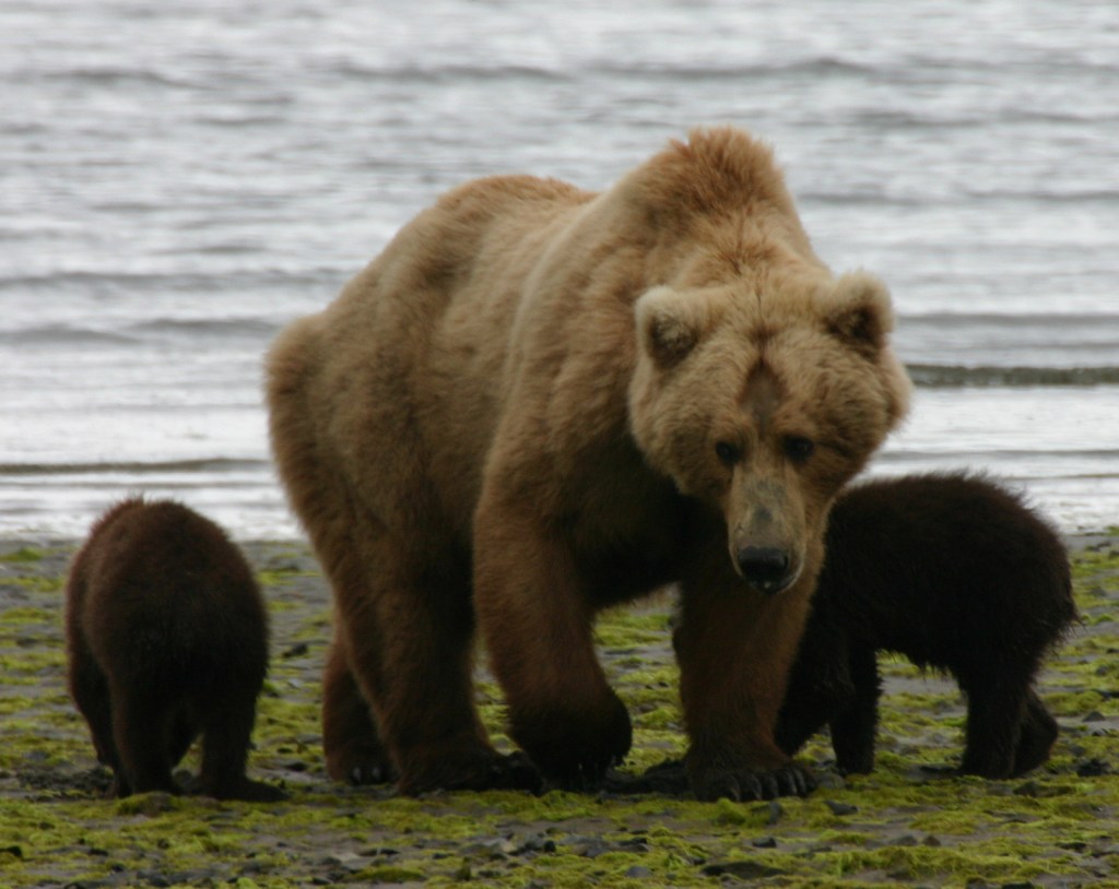
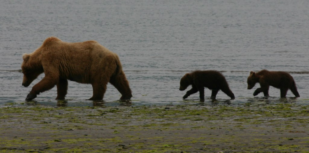
The grizzly/brown bears of Brooks Falls are celebrities due to the annual Fat Bear Week vote for the chunkiest bear on social media. Less famous are the bears that hang out around Hallo Bay on the coastline, eating grass and shellfish until the salmon arrive. Regardless of your destination, flights from road-accessible portions of Alaska (like Homer and Kenai) can be quite costly. Most of the approximately 50,000 annual visitors come only for a day trip, although there are three expensive lodges and a campground in the park.
Best Trail
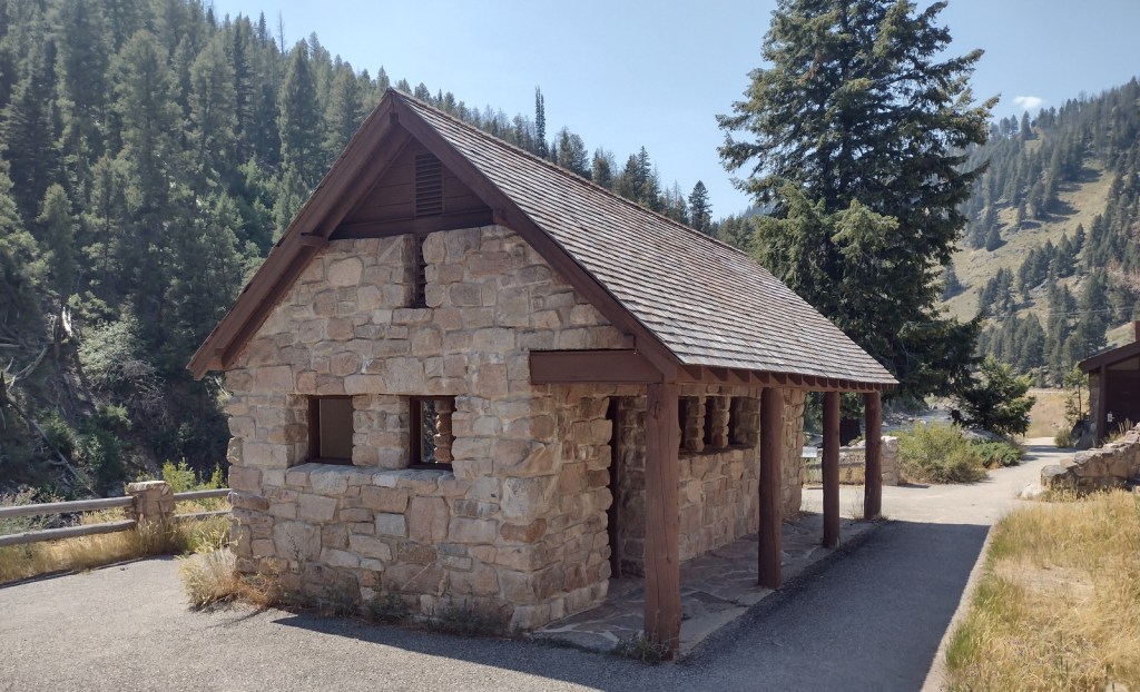
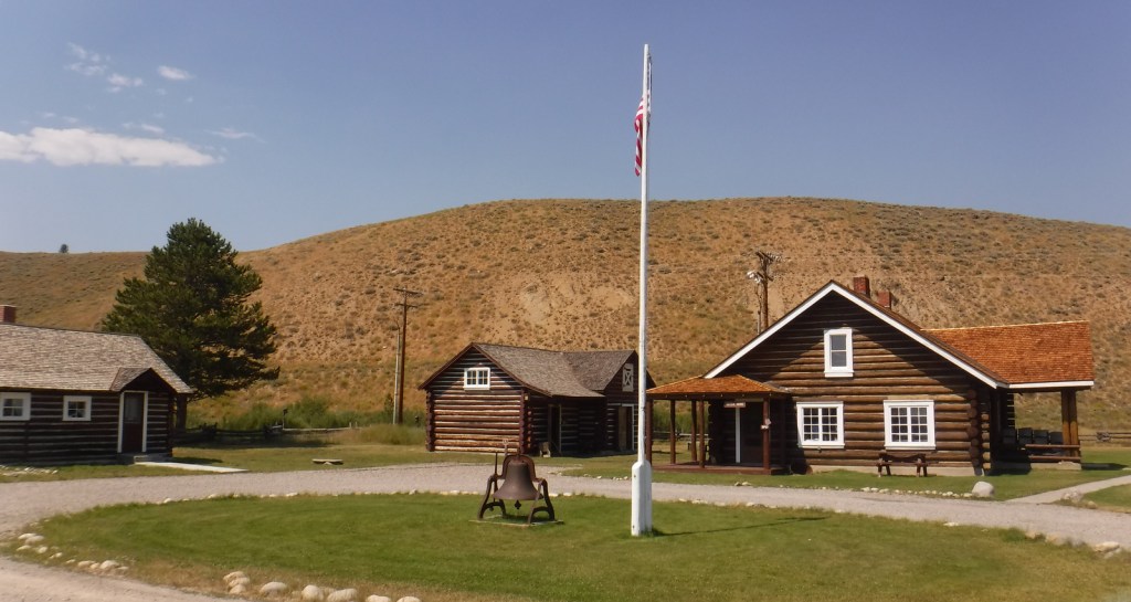
Brooks Falls Trail connects the Lower River Bear Viewing Platform 1.2 miles to the Falls and Riffles Platforms at Brooks Falls. Near the visitor center, the short Cultural Site Trail visits a prehistoric camp and reconstructed dwelling.
Instagram-worthy Photo
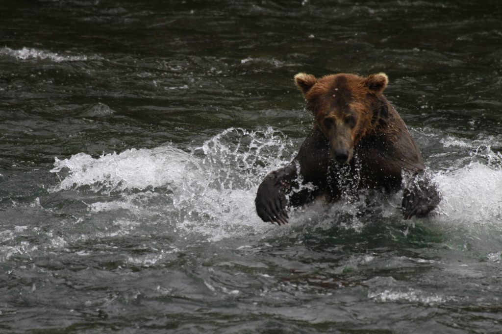
Brooks Falls is a world-class destination for wildlife photographers from around the world, so you might want to bring along a camera with a good zoom lens if you pay to get there during the peak months of July and September. This photo is from Scott’s father (see more of his photos and paintings at Bruce Sink.com)

Peak Season
Summer
Hours
https://www.nps.gov/katm/planyourvisit/hours.htm
Fees
The National Park Service does not charge an entry fee, but it is very expensive to fly to Brooks Camp or Hallo Bay.
Road Conditions
There is a 23-mile long road that leads from Brooks Falls to the Valley of Ten Thousand Smokes and a daily eight-hour ranger-guided bus tour is available in the summer. Backpackers can buy one-way tickets and explore the area, with the Baked Mountain Huts a popular destination 12 miles away across two difficult river crossings.
Camping
There are 60 sites at Brooks Camp Campground (reservations required prior to arrival), which is surrounded by an electric fence to keep bears out.
Related Sites
Kenai Fjords National Park (Alaska)
Lake Clark National Park and Preserve (Alaska)
Denali National Park and Preserve (Alaska)


Explore More – How many grizzly/brown bears are estimated to live within Katmai National Park and Preserve?


We are a participant in the Amazon Services LLC Associates Program, an affiliate advertising program designed to provide a means for us to earn fees by linking to Amazon.com and affiliated sites.