Tag Archives: camping

Coronado National Forest

Coronado National Forest

Arizona

Managed by U.S. Forest Service, Southwestern Region

1,859,807 acres (1,786,620 federal/ 73,187 other)

Website: https://www.fs.usda.gov/coronado

Overview

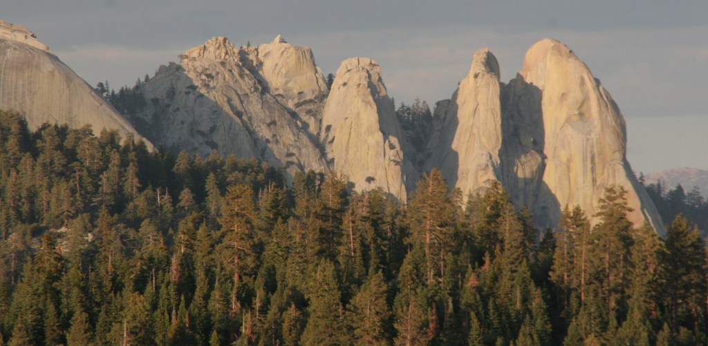
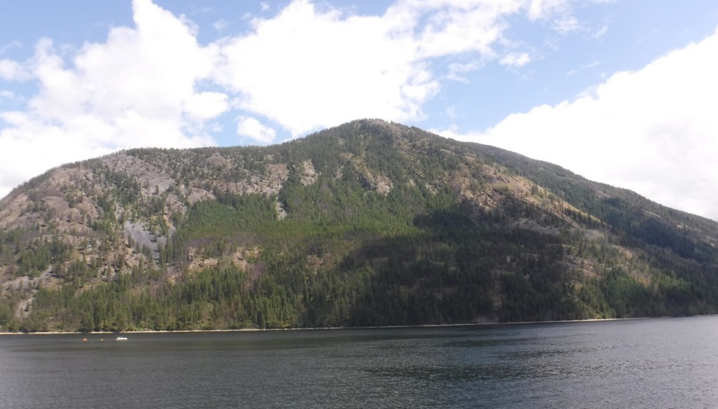
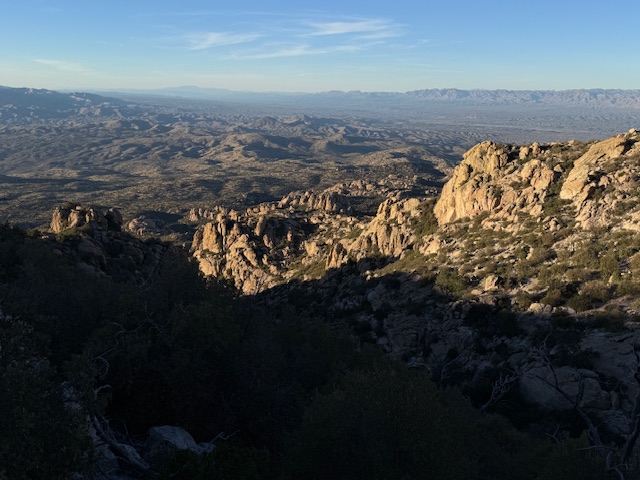
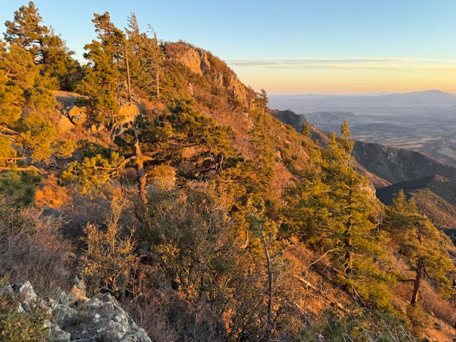
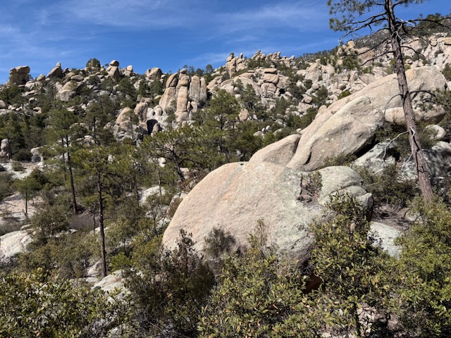
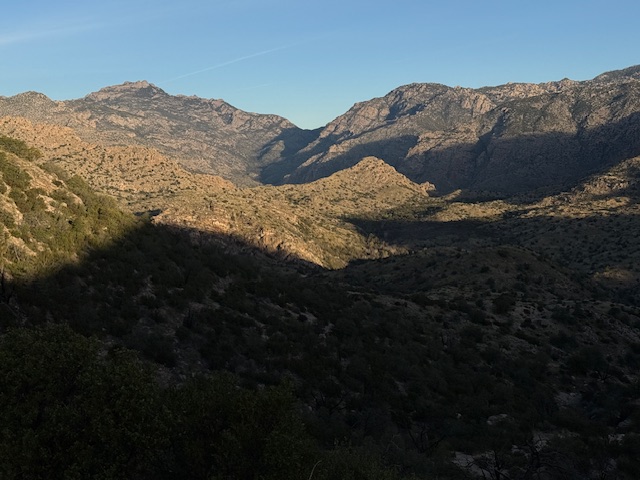
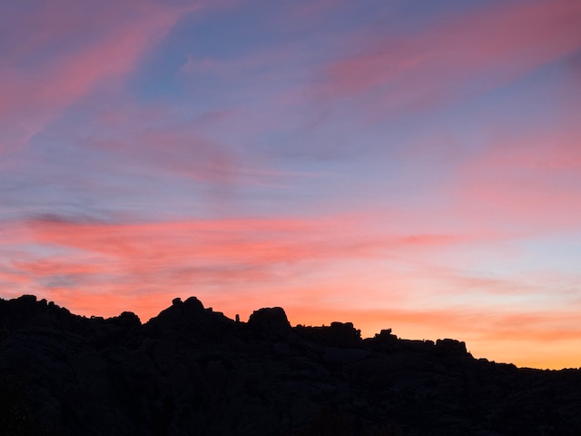
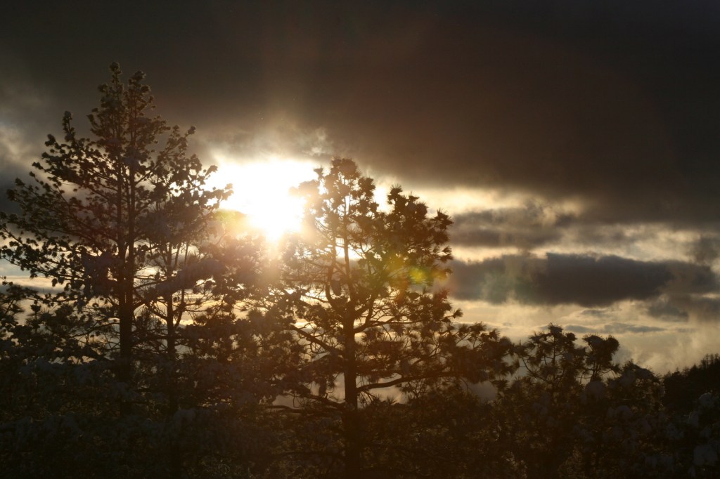
Coronado National Forest is sprinkled across the southeastern Arizona landscape, encompassing many forested “sky islands” that rise above the surrounding Sonoran Desert.  The isolation of these ranges has led to the evolution of some endemic species of plants and animals unique to this region.  That isolation also allows for clear night skies, so there are several peaks with astronomical observatories.  The most visited portion of the forest is the Santa Catalina Mountains, easily accessible along the paved 35-mile-long Catalina Highway east of Tucson, Arizona. 

Know someone who loves the National Forests? Gift them our travel guidebook Out in the Woods so they can learn more about all 155 National Forests.

Highlights

Catalina Highway, Sabino Canyon Recreation Area, Mt. Lemmon, Windy Point, Madera Canyon, Sky Island Scenic Byway, Mt. Graham, Onyx Cave, Madera Canyon, Mt. Hopkins Observatory, Pena Blanca Lake, Ramsey Canyon, Miller Peak, Cochise Stronghold

Must-Do Activity

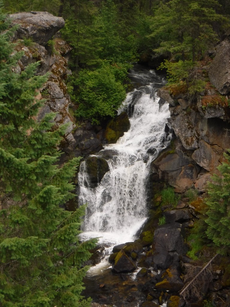
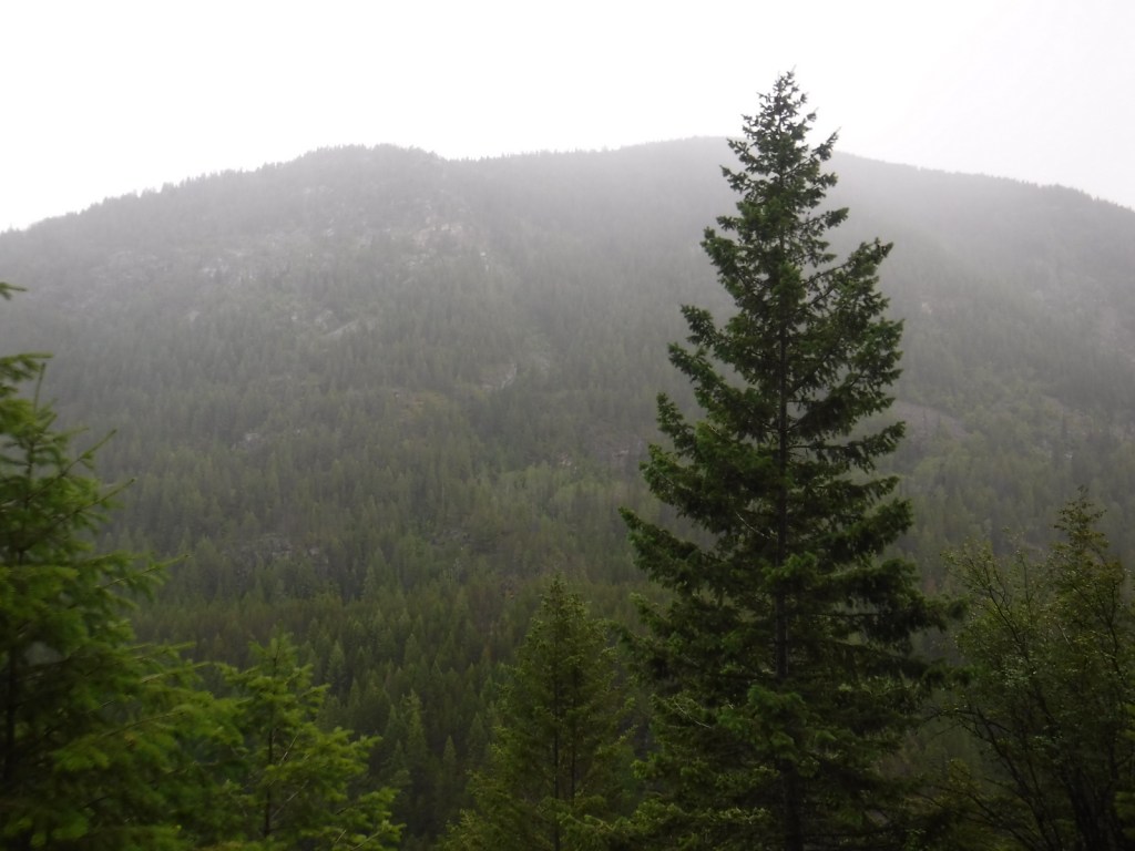
The Santa Catalina Mountains offer many recreational opportunities, from road biking to downhill skiing at the top of 9,157-foot Mt. Lemmon (the southernmost ski area in the U.S.).   The scenic beauty and expansive vistas along the Catalina Highway are worth the many switchbacks, and you might drive past some of the most famous triathletes in the world who train here in the winter.  The drive ascends through multiple life zones from saguaro-dotted desert to ponderosa pine forest.  At the base of the Santa Catalina Mountains is the busy Sabino Canyon Recreation Area (fee).

Best Trail

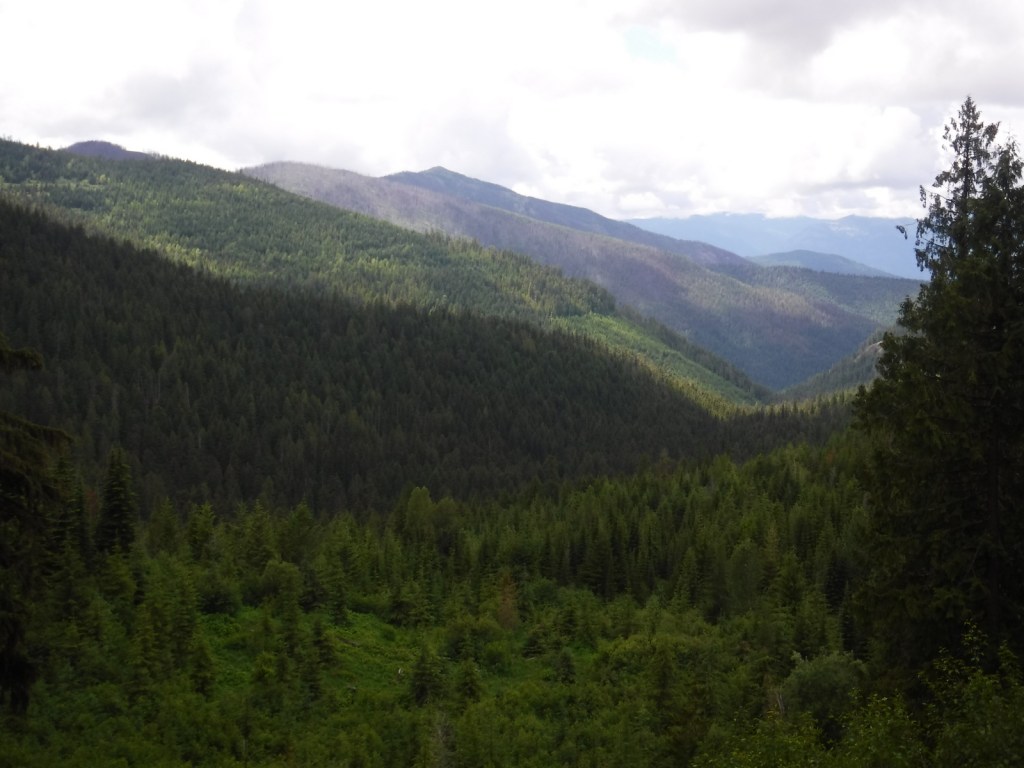
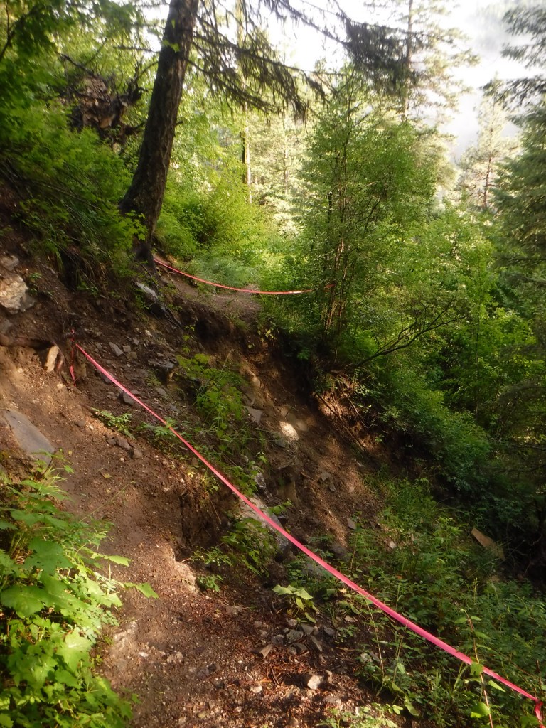
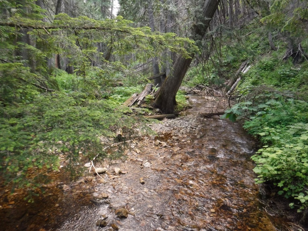
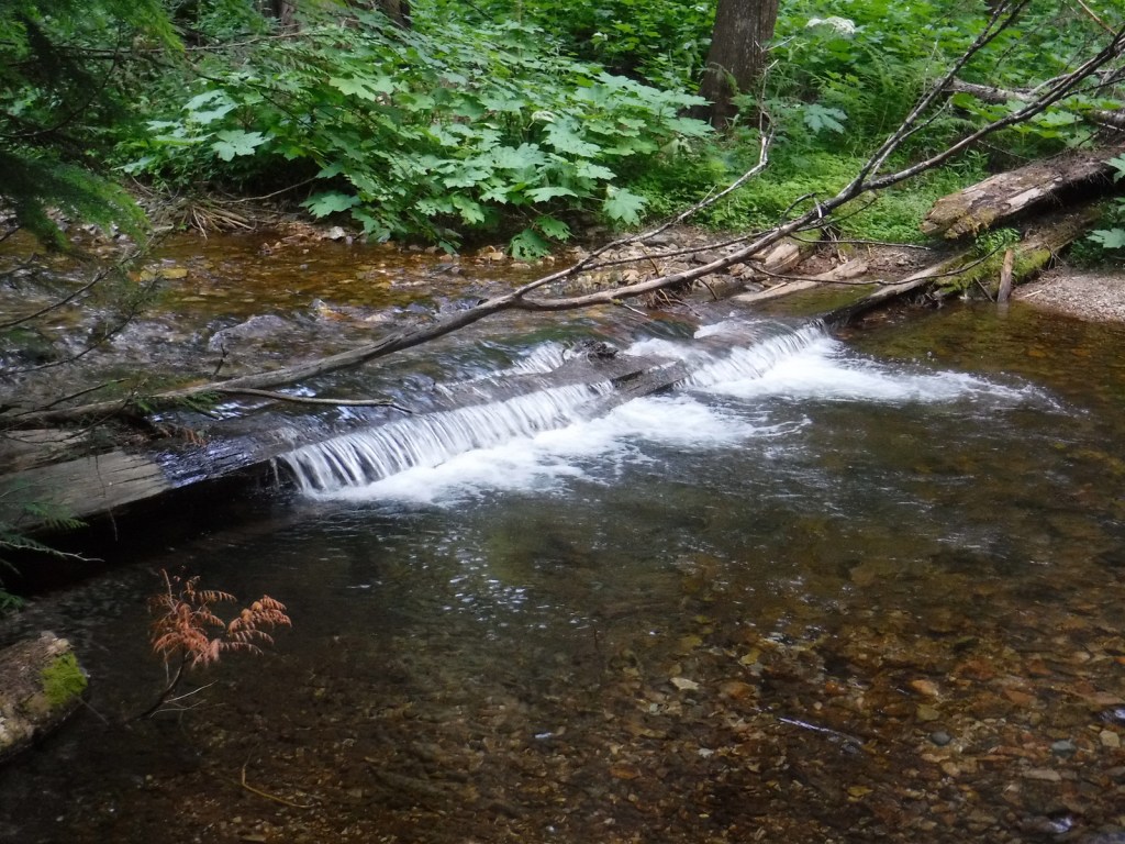
Box Camp Trail is special to us as it was the site of our first date, marriage proposal, and wedding ceremony.  Over the course of 13 miles, Box Camp Trail drops 5,000 feet in elevation from ponderosa pine forest through pinyon-juniper woodland to the desert of Sabino Canyon dominated by saguaro cacti.  The rugged trail disappears in places, but offers incredible views along the way.  Route finding is required as the trail is somewhat overgrown (with downed trees from wildfires), plus the one-way hike requires two cars, one left at Sabino Canyon Recreation Area and one at the trailhead on the Catalina Highway. 

Watchable Wildlife

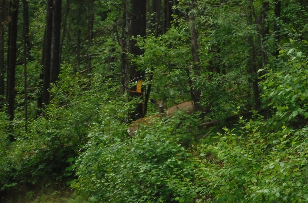
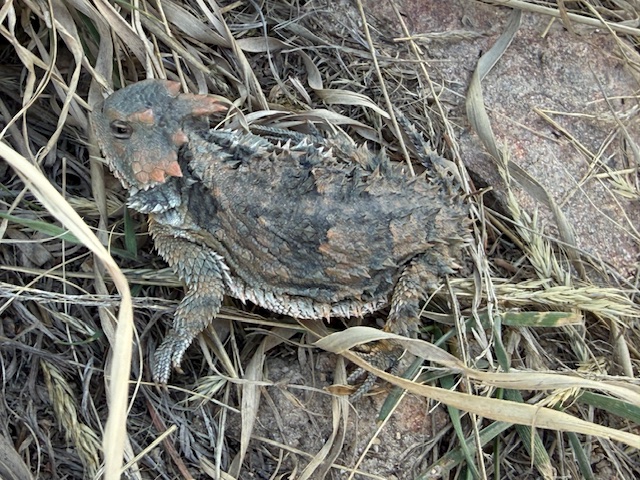
The Sonoran Desert is home to numerous unique wildlife species from roadrunners to Coues white-tailed deer.  Many of the animals are nocturnal to avoid the heat of the day, including ringtails (or ring-tailed cats), kangaroo rats, and javelinas (or collared peccaries).  The “sky islands” provide habitat for black bears, coyotes, skunks, mountain lions, bobcats, pronghorns, mule deer, and elk.  Sabino Canyon Recreation Area is known for its coatis, relatives of raccoons that typically travel in packs.

Instagram-worthy Photo

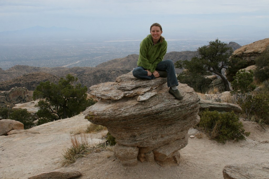
Windy Point is a spectacular overlook along the Catalina Highway in the pinyon-juniper woodland zone.  Not a bad spot for wedding photos, if we do say so ourselves.

Peak Season

Spring and fall

Fees

There is a fee to park at Sabino Canyon Recreation Area, plus a charge for the tram ride. Check the USFS website for details.

Road Conditions

The paved Catalina Highway is sometimes closed due to snow and ice in the winter.  There are some rough roads in this part of the Sonoran Desert, and especially be aware of the potential for flash flooding.

Camping

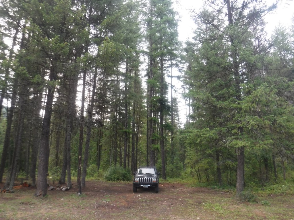
There are designated campgrounds along the Catalina Highway and throughout Coronado National Forest.  We dispersed camped near Dragoon Springs Station south of Interstate 10, but the access roads were in bad shape.

Wilderness Areas

Chiricahua Wilderness

Galiuro Wilderness

Miller Peak Wilderness

Mount Wrightson Wilderness

Pajarita Wilderness

Pusch Ridge Wilderness

Rincon Wilderness

Santa Teresa Wilderness

Related Sites

Coronado National Memorial (Arizona)

Tumacácori National Historical Park (Arizona)

Chiricahua National Monument (Arizona)

Nearest National Park

Saguaro

Conifer Tree Species

two-needle pinyon pine, alligator juniper, ponderosa pine, Chihuahua pine, Apache pine

Flowering Tree Species

Emory oak, Arizona oak, Mexican blue oak, Arizona rosewood, black alder, Arizona walnut, velvet ash, Arizona sycamore, quaking aspen

Explore More – Who was the famous ecologist that studied the similarity of increasing elevation to increasing latitude more than a century ago in the Santa Catalina Mountains?

Learn more about this and the 154 other National Forests in our guidebook Out in the Woods

Conecuh National Forest

Conecuh National Forest

Alabama

Managed by U.S. Forest Service, Southern Region

171,177acres (83,852 federal/ 87,325 other)

Website: https://www.fs.usda.gov/alabama

Overview

In southern Alabama, Conecuh National Forest was created in 1936 from clearcut and burned-over lands that were replanted with fast-growing slash pine.  Reforestation efforts today focus on native longleaf pine trees that provide habitat for endangered red-cockaded woodpeckers.  The topography of these coastal plain forests is fairly flat with broad ridges flanked by bottomlands and floodplains.  Conecuh National Forest is primarily developed at two Recreation Areas: Open Pond and Blue Lake.

Highlights

Open Pond Recreation Area, Buck Pond, Blue Spring, Open Pond Fire Tower, Yellow River Basin, Blue Lake Recreation Area, Lake Shore Trail, Conecuh National Recreation Trail

Must-Do Activity

Open Pond Recreation Area (fee) surrounds a 30-acre natural sinkhole lake and has a campground, boat ramps, and a historic 1938 fire tower.  Located only a ten-minute drive away, Blue Lake Recreation Area (fee) offers a day-use picnic area and swimming beach (the only place in the National Forest where swimming is allowed, presumably due to the presence of alligators elsewhere).

Best Trail

The 20-mile long Conecuh Trail was built by the Youth Conservation Corps beginning in 1976 and traverses longleaf pine stands and hardwood bottomlands.  Leaving from Open Pond Recreation Area, the seven-mile long South Loop of the Conecuh Trail passes Blue Spring, but that portion of the trail was closed due to hurricane damage during our visit. 

Watchable Wildlife

Notable wildlife species that inhabit Conecuh National Forest include red-cockaded woodpeckers (see above), wild turkeys, fox squirrels, raccoons, red foxes, gray foxes, bobcats, coyotes, black bears, and alligators.  Fishing is a popular activity, with interesting spiky PVC pipe constructions put in the water to provide habitat for bream, bass, and crappie.

Instagram-worthy Photo

Watch for carnivorous pitcher plants growing in the wet soils on the edge of bogs and baldcypress ponds.

Peak Season

Spring and fall

Fees

There is a day use fee at both Open Pond and Blue Lake Recreation Areas, but an America the Beautiful pass can be substituted.

Road Conditions

Many of the roads in Conecuh National Forest are unpaved, but the sand packs down well and provides a good surface for any vehicle to drive.

Camping

Open Pond Campground contains 75 campsites available on a first-come, first-served basis.

Wilderness Areas

None

Related Sites

Gulf Islands National Seashore (Florida-Mississippi)

Horseshoe Bend National Military Park (Alabama)

Tuskegee Airmen National Historic Site (Alabama)

Nearest National Park

Great Smoky Mountains

Conifer Tree Species

baldcypress, longleaf pine, slash pine

Flowering Tree Species

American holly, flowering dogwood, southern magnolia, swamp tupelo, pumpkin ash, swamp cottonwood, overcup oak, swamp chestnut oak, cherryark oak

Explore More – Believed to be of Muskogee origin, what does the name “Conecuh” translate as?

Learn more about this and the 154 other National Forests in our new guidebook Out in the Woods

We are a participant in the Amazon Services LLC Associates Program, an affiliate advertising program designed to provide a means for us to earn fees by linking to Amazon.com and affiliated sites.

Top 10 National Forests for Dispersed Camping 

We cannot think of a single National Forest without a designated campground, but what makes these public lands unique is that they allow free dispersed camping along most of their unpaved roadways.  The Forest Service requests that campers use a site with an established fire ring, pack out (do not burn) all trash, and stay a maximum of 14 days.  We have all seen people who abuse these lightly-enforced policies, but if we all are responsible then, hopefully, we will retain this camping privilege in the future.  Dispersed camping is typically not allowed near campgrounds or on private property, so watch for road signs and use the Visitor Map app.  Some areas of high usage have designated spots, like the free sites marked along Vedauwoo Road in Wyoming’s Medicine Bow National Forest.  Click here to see all of our Top 10 Lists, including our favorite National Forest campgrounds and backpacking areas.

10. Manistee (Michigan)

The Nordhouse Dunes are a popular destination for backpacking on Lake Michigan, but not far from the developed campgrounds are flat spots for dispersed camping

9. Cibola (New Mexico)

The Manzano Mountains south of Albuquerque are a great place for dispersed camping, and there are also several campgrounds there

8. Apache (Arizona- New Mexico)

There are many dirt roads that spur from the paved Coronado Trail Scenic Byway (Highway 191) with good camping options

7. Tongass (Alaska)

Scott did his M.S. research in Tongass National Forest and camped all over the islands, which literally have thousands of miles of gravel logging roads to explore

6. Payette (Idaho)

Hells Canyon National Recreation Area is managed by Oregon’s Wallowa National Forest, but we camped before our whitewater rafting trip at an overlook on the well-maintained Kleinschmidt Grade; plus we stayed at a great site on the shores of Brundage Reservoir (see photo at top)

5. Black Hills (South Dakota-Wyoming)

There are at least half-a-dozen places we have dispersed camped in this area with fast access to Wind Cave National Park, Jewel Cave National Monument, Mount Rushmore National Memorial, Custer State Park, and Devils Tower National Monument

4. La Sal (Utah-Colorado)

We passed some awesome sites along the 58-mile-long Elk Ridge Scenic Backway and just off the paved La Sal Mountain Loop Road

3. Chequamegon (Wisconsin)

The Moquah Barrens is a cool place to camp, and there are some campsites on the back roads of the Bayfield Peninsula close to Apostle Islands National Lakeshore

2. Sequoia (California)

There are developed campgrounds in Giant Sequoia National Monument, but our favorite dispersed sites are around Dome Rock off Highway 190

…and finally our #1 National Forest for dispersed camping:

1. Inyo (California-Nevada)

The night skies are incredible in this high-elevation region; we have dispersed camped around Mono Lake, Ancient Bristlecone Pine Forest, and the Kearsarge Pass Trailhead

Honorable Mentions

Colville (Washington)

We found excellent dispersed campsites along the unpaved portions of Deadman Creek Road, plus good options in the Selkirk Mountains further east

Gallatin (Montana)

If you cannot find a campsite in Yellowstone National Park, try this National Forest on the west side of the park, specifically the free designated sites along Taylor Fork Road

Modoc  (California)

We have found many nice options in the northeast corner of California around Lava Beds National Monument, although snow blocks some roads well into June

Coeur d’Alene (Idaho)

We have camped at Bullion Pass and on the West Fork of Eagle Creek on the road to the Settler’s Grove of Ancient Cedars

Kaibab (Arizona)

If you want to avoid the busy campgrounds in Grand Canyon National Park, try the National Forest that sits outside its boundaries on both the North and South Rim

Colville National Forest

Colville National Forest

Washington

Managed by U.S. Forest Service, Pacific Northwest Region

1,029,617 acres (954,409 federal/ 75,208 other)

Website: https://www.fs.usda.gov/colville

Overview

In northeast Washington, Colville National Forest is divided into two sections on either side of the Columbia River.  In the west are the Kettle River Mountains, which are crossed by Sherman Pass Scenic Byway (Highway 20).  To the east, the remote Selkirk Mountains contain the Salmo-Priest Wilderness that spills over into Kaniksu National Forest.  Colville National Forest also borders Little Pend Oreille National Wildlife Refuge and Lake Roosevelt National Recreation Area.

Highlights

Sherman Pass Scenic Byway, Pewee Falls, Sullivan Lake, Marble Creek Falls, Trout Lake, Kettle Creek National Recreation Trail, Crowell Ridge Trail, Sherman Creek Trail, Grassy Top National Recreation Trail, Brown’s Lake Interpretive Trail, Pacific Northwest National Scenic Trail

Must-Do Activity

In the Selkirk Mountains east of the Pend Oreille River, the large Sullivan Lake is a scenic spot for boating and camping.  Designated in 1978, the Sullivan Lake National Recreation Trail runs 4.3 miles between the two campgrounds located at either end of the lake.  Colville National Forest is also known for 200-foot-tall Pewee Falls that cascades into the Boundary Dam Reservoir near the Canadian border, but we did not make it up there.

Best Trail

Hoodoo Canyon Trail is 4.8 miles one-way and accessible from two trailheads, one on unpaved Deadman Creek Road and the other at Trout Lake Campground, which is five miles from the Sherman Pass Scenic Byway.  We started out in the rain from our dispersed campsite along Deadman Creek Road and the trail soon made a steep climb through a dense conifer forest.  Eventually the route leveled out and we got our first view of shamrock green Emerald Lake, so we took a well-worn path down to its shoreline.  The trail was officially closed at the 3.2-mile point due to a small landslide (see photo), but it was not hard to navigate past that spot to gain a view of Trout Lake, at which point we turned around.

Watchable Wildlife

The remote Selkirk Mountains represent the sole place south of Canada where there is a herd of mountain caribou.  Grizzly bears, Canadian lynx, mountain lions, and gray wolves also inhabit this wild borderland region.  More common species include mule deer, bighorn sheep, moose, beavers, bald eagles, and loons.

Instagram-worthy Photo

The water of Emerald Lake truly lives up to its gem of a name, even on a cloudy day.

Peak Season

Summer

Fees

None

Road Conditions

Sherman Pass Scenic Byway (Highway 20) is paved, but most the roads we drove through Colville National Forest were unpaved but in very good condition.

Camping

Trout Lake Campground seemed like a nice spot, secluded but only five miles off the Sherman Pass Scenic Byway.  We found many excellent dispersed campsites along the unpaved portions of Deadman Creek Road.

Wilderness Areas

Salmo-Priest Wilderness (also in Kaniksu National Forest)

Related Sites

Lake Roosevelt National Recreation Area (Washington)

Ross Lake National Recreation Area (Washington)

Lake Chelan National Recreation Area (Washington)

Nearest National Park

North Cascades

Conifer Tree Species

Douglas-fir, grand fir, subalpine fir, lodgepole pine, western larch, western redcedar

Flowering Tree Species

syringa, quaking aspen, Pacific dogwood, red alder, balsam poplar, dwarf birch, paper birch, Piper’s hawthorn, boxelder, Bebb willow, western mountain-ash, choke cherry, western serviceberry, red alder, mountain alder

Explore More – Who was Andrew Colvile, other than the man that Fort Colville [sic] was misnamed for in 1825?

Learn more about this and the 154 other National Forests in our new guidebook Out in the Woods

We are a participant in the Amazon Services LLC Associates Program, an affiliate advertising program designed to provide a means for us to earn fees by linking to Amazon.com and affiliated sites.

Coeur d’Alene National Forest

Coeur d’Alene National Forest

Idaho

Managed by U.S. Forest Service, Northern Region

801,759 acres (725,797 federal/ 75,962 other)

Website: https://www.fs.usda.gov/ipnf/

Overview

Coeur d’Alene National Forest is located on both sides of Interstate 90, east of the city of Coeur d’Alene, which was the French name given to the indigenous people.  In 1973, it was joined with Kaniksu and St. Joe National Forests to form Idaho Panhandle National Forests.  A good base for exploration, Wallace is a silver mining boomtown that refused to die despite its close call during the infamous Big Burn of 1910 (read more about it and the Pulaski Tunnel in Timothy Egan’s book).  On the Montana border, Lookout Pass Ski Area provides permits, equipment rentals, and shuttles for the famous Route of the Hiawatha bicycling trail (that is technically in St. Joe National Forest).

Highlights

Lake Hayden, Lookout Pass, Prichard Bridge, Stevens Lake, Willow Creek Falls, Steamboat Rock, Grassy Mountain Lookout, Lake Hayden, Settler’s Grove of Ancient Cedars, Pulaski Tunnel Trail

Must-Do Activity

North of Wallace, a good dirt road follows the West Fork of Eagle Creek to the Settler’s Grove of Ancient Cedars.  This 173-acre stand contains western redcedar trees up to seven feet in diameter, as well as large western hemlocks.  Fire has burned through the understory of this grove freeing nutrients for a lush growth of ferns and devil’s-club.  Look for a geocache near the sign that reads “end of Cedar Grove Trail” and points uphill to Trail No. 162, which continues another three miles.

Best Trail

The Idaho Centennial Trail follows the mountainous Idaho-Montana border on the eastern side of Coeur d’Alene National Forest, although it does dip west to cross Interstate 90 near the town of Mullan.  The old Mullan Road was cut through this rugged area in 1859-61; the terrain was so steep that workers had to construct 47 bridges to cover a distance of only 28 miles. 

Watchable Wildlife

Coeur d’Alene National Forest is home to mule deer, elk, moose, black bears, bobcats, coyotes, and mountain lions.  This close to Canada, it is also possible to find grizzly bears and gray wolves.  Common large birds include ospreys, golden eagles, bald eagles, wild turkeys, and ravens.  Although the National Forest does not encompass Lake Coeur d’Alene, it does contain many of the rivers and creeks that feed it, which provide incredible fishing opportunities.

Instagram-worthy Photo

There are some impressive western redcedar trees growing in the Settler’s Grove of Ancient Cedars.

Peak Season

Summer

Fees

None

Road Conditions

Even the paved roads we drove north of Wallace were slow going—very steep with hairpin switchbacks.  Once we got on the unpaved road following the West Fork of Eagle Creek, it was wide and flat.  We drove through Coeur d’Alene National Forest to access Bullion Pass on a four-wheel-drive-only road up a steep three-mile-long grade about a mile west (on a paved frontage road) from the Dena Mosa-Lookout Pass Rest Area on eastbound Interstate 90.

Camping

There are campgrounds located throughout the National Forest, including Mokins Bay Campground on Hayden Lake and Bell Bay Campground on Lake Coeur d’Alene.  We found a good dispersed campsite along the West Fork of Eagle Creek on the road to the Settler’s Grove of Ancient Cedars.

Wilderness Areas

None

Related Sites

Challis National Forest (Idaho)

Clearwater National Forest (Idaho)

Nez Perce National Historical Park (Idaho-Oregon-Montana)

Nearest National Park

Glacier

Conifer Tree Species

western redcedar, Engelmann spruce, lodgepole pine, western white pine, Douglas-fir, western hemlock, grand fir, subalpine fir, Pacific yew, western larch

Flowering Tree Species

quaking aspen, Pacific dogwood, red alder, balsam poplar, dwarf birch, paper birch, Piper’s hawthorn, boxelder, Bebb willow, western mountain-ash, choke cherry, western serviceberry, red alder, mountain alder

Explore More – How did the Coeur d’Alene tribe get its French name?

Learn more about this and the 154 other National Forests in our new guidebook Out in the Woods

We are a participant in the Amazon Services LLC Associates Program, an affiliate advertising program designed to provide a means for us to earn fees by linking to Amazon.com and affiliated sites.