Tag Archives: camping

Top 10 National Parks for Dispersed Backcountry Camping

These National Park Service units do not require you to camp in a designated site, so much the better for privacy and quiet.  These are our 10 favorite spots to go backpacking and commune with nature in the backcountry.  Remember to practice Leave No Trace principles.

10. Appalachian National Scenic Trail (Georgia to Maine)

With the exception of some National and State Parks, camping is dispersed along the A.T.

9. Wrangell-St. Elias National Park and Preserve (Alaska)

Most parks in Alaska offer dispersed camping and this is the largest of all National Parks.
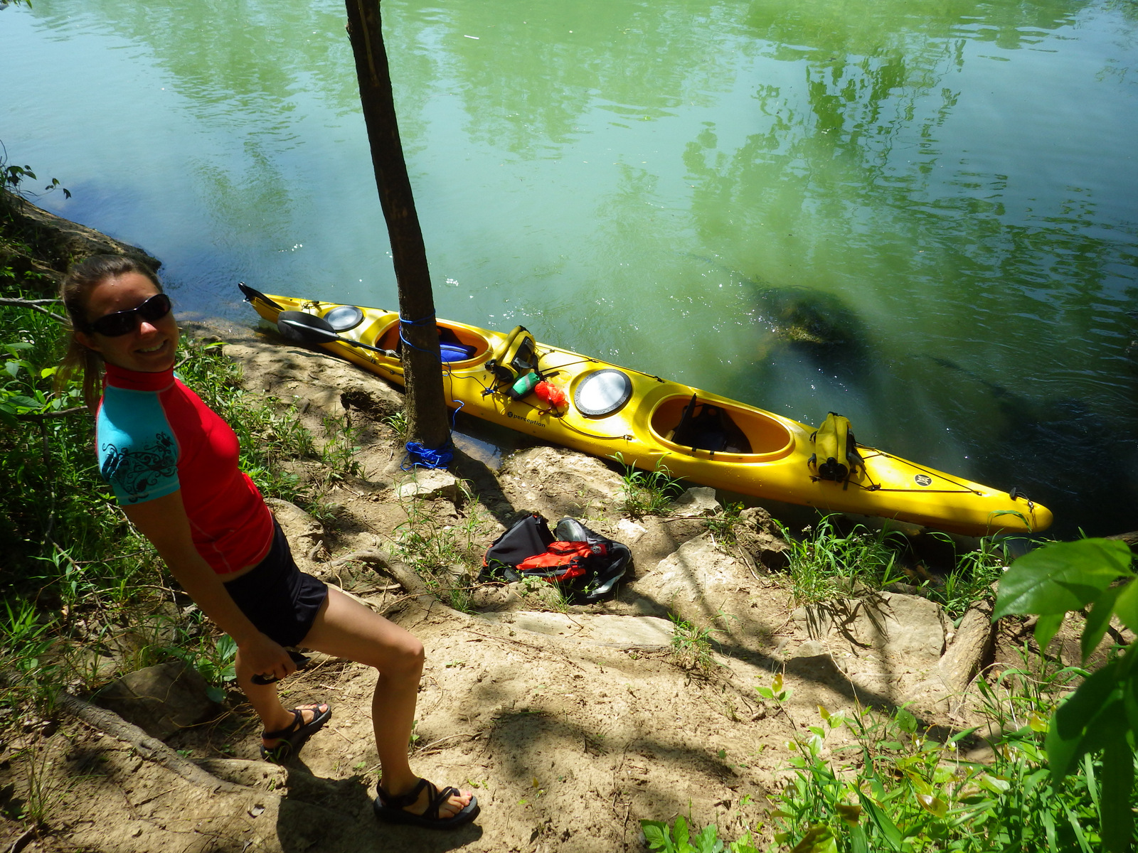
8. Buffalo National River (Arkansas)

While floating downstream, you can pull your boat to the shore and set up wherever you like.

7. Wind Cave National Park (South Dakota)

Bison will be your only companions on the prairies and forests above the caverns.

6. Mount Rainier National Park (Washington)

This park has designated sites along its trails, but you can also get an off-trail permit by zone.
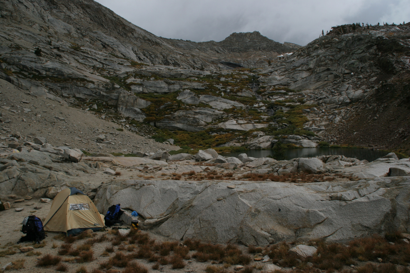
5. Sequoia National Park (California)

Much of this park has designated campsites, but the Mineral King section does not.

4. Badlands National Park (South Dakota)

Incredible views can be found in Conata Basin and other free backcountry areas.

3. Death Valley National Park (California)

It is a hike to the Panamint Dunes, but you will likely have the place to yourself.

2. Cape Lookout National Seashore (North Carolina)

Take a ferry to these barrier islands and set up on the beautiful sandy beaches.

…and finally our #1 National Park for dispersed backcountry camping!
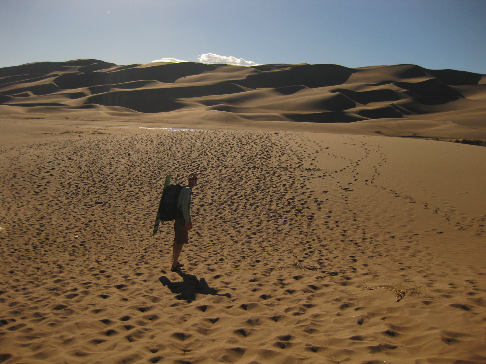
1. Great Sand Dunes National Park and Preserve (Colorado)

A free permit allows you to set up camp anywhere in the dune field not visible from the road.

Honorable Mention

Ozark National Scenic Riverways (Missouri)

Find the perfect spot along the shores of the Jack’s Fork or Current Rivers

Chaco Culture National Historical Park

Overview

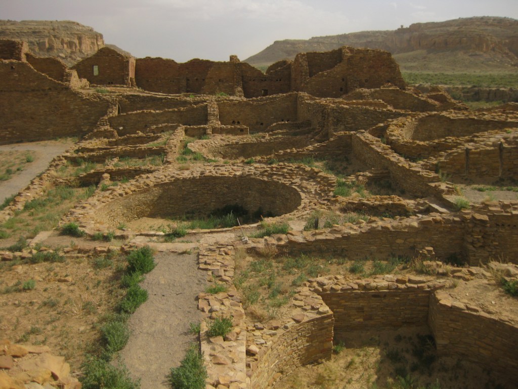
These expansive ruins built in the desert between AD850-1150 represent the best collection of Ancestral Puebloan architecture in the southwest U.S.  Over 400 miles of historic roads led to this ceremonial center.  Its multiple great houses were first protected in 1907 and can take days to explore fully. 

Highlights

Pueblo Bonito, Chetro Ketl, petroglyphs, supernova pictograph

Must-Do Activity

Walking through the short doorways inside D-shaped Pueblo Bonito, you can admire the intricacy of the walls that have stood over 1,000 years.  So much effort was put into building monumental structures in this challenging locale, then it was mysteriously abandoned, making this remarkable park is an awesome place to ponder human civilization, past and future.

Best Trail

A free backcountry permit is required to hike all trails in the park.  Our favorite passes Kin Kletso and Casa Chiquita 3 miles one-way to a unique pictograph that may depict a supernova that occurred in AD1054.

Instagram-worthy Photo

While mostly made of mud bricks, the wood used in the structures had to be carried over 50 miles from the nearest forests to reach this spot.  An estimated 200,000 trees were moved over 300 years of construction without the use of pack animals or wheels.

Peak Season

Summer, though it can be hot with no shade.

Hours

https://www.nps.gov/chcu/planyourvisit/hours.htm

Fees

$25 per vehicle or America The Beautiful pass

Road Conditions

All access roads to the park are dirt, with the recommended entry route via County Roads 7900 and 7950, 21 miles west of Highway 550.  The roads from the south are more difficult, especially when wet.

Camping

The small Gallo Campground lies within the park, but we recommend the free campground in Angel Peak Recreation Area run by the Bureau of Land Management east of Highway 550.

Explore More – Why do visitors strive to arrive for the summer and winter solstices each year?

Alibates Flint Quarries National Monument

Overview

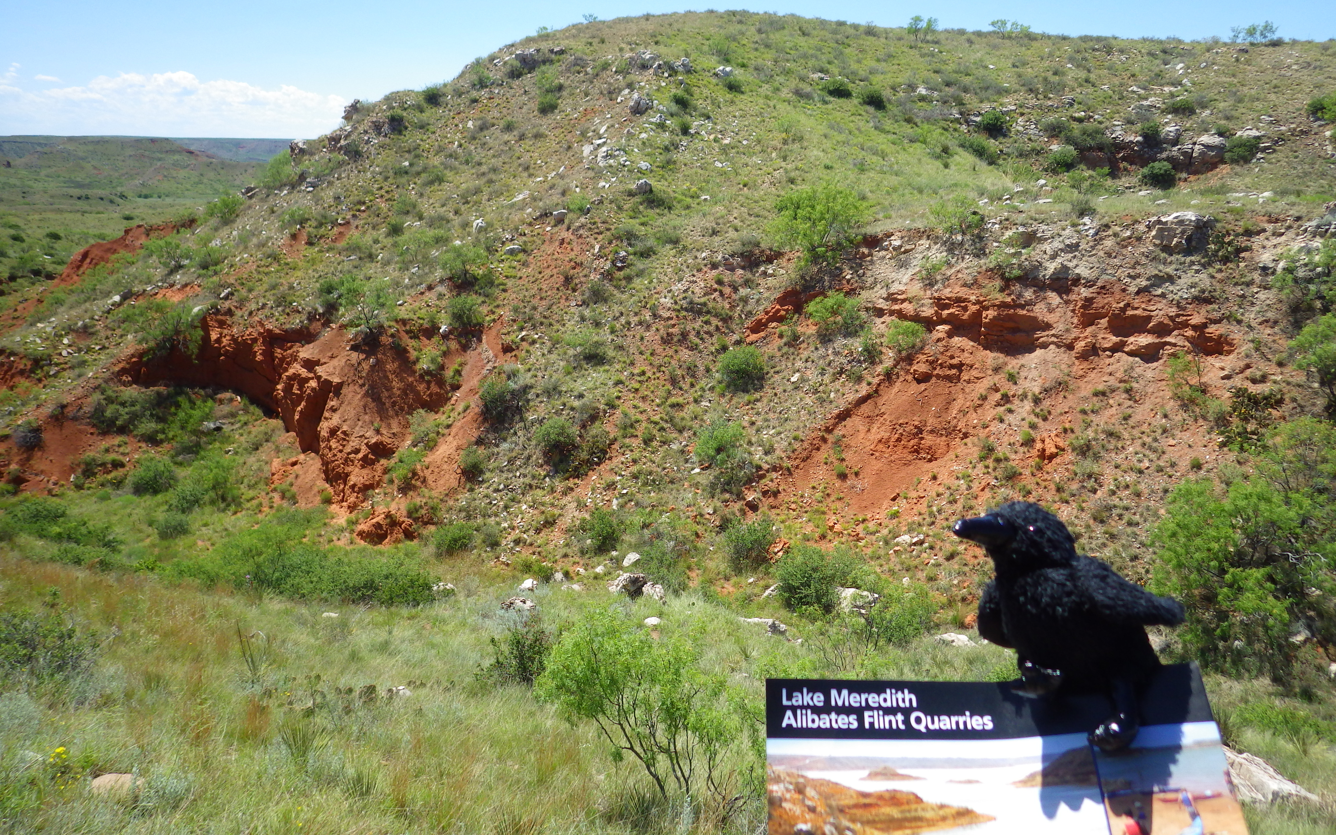
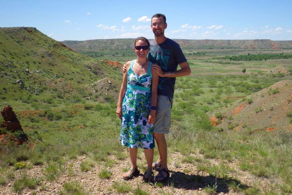
Quarrying in this part of the panhandle of Texas dates back 13,000 years to the last Ice Age.  The flint found here was especially good for making spear points and was traded across the continent over the centuries.  However, the harsh climate meant few humans lived here until recently, except between AD1200 and 1450.  Alibates Flint Quarries National Monument is jointly managed with Lake Meredith National Recreation Area by the National Park Service (NPS).

Highlights

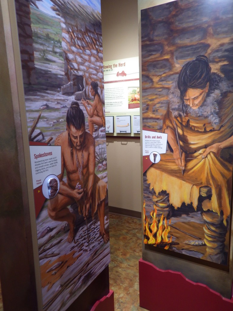
Flint knapping demonstrations, 10-minute film, ranger-guided tour of quarries

Must-Do Activity

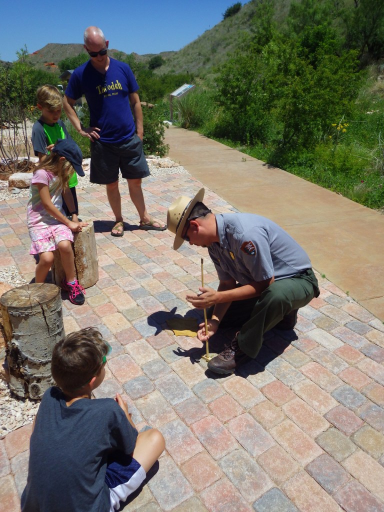
Outside the NPS visitor center, dedicated park rangers frequently demonstrate the art of knapping points from flint blanks (not from within park boundaries) and other primitive survival skills. 
Best Trail

We recommend you take the free ranger-guided tour (offered twice daily) up to the quarries to get the full experience.  It is a bit of a climb, but is the only way access the sites.

Instagram-worthy Photo

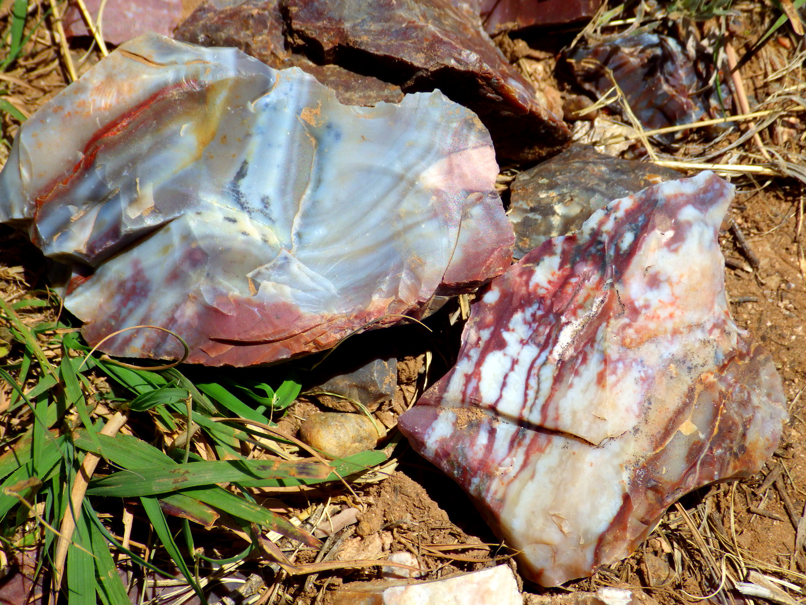
The flint here not only holds a great edge, it is also beautifully colored.  The rangers will be happy to let you take rock samples home from knapping demonstrations (since the flint is not from within park boundaries).
Peak Season

Spring and fall, as it can be very hot in the summer.

Hours

https://www.nps.gov/alfl/planyourvisit/hours.htm

Fees

None

Road Conditions

Paved to the National Monument and many good dirt roads surround Lake Meredith National Recreation Area.

Camping

Free primitive camping is available around Lake Meredith where there are many dirt roads to explore, as well as developed campgrounds (fee).

Explore More – What is the origin of the interesting name “Alibates?”

Timpanogos Cave National Monument

Overview

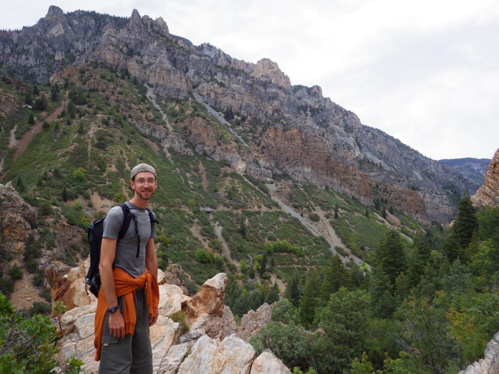
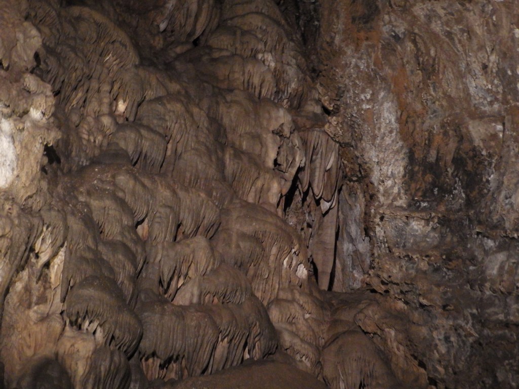
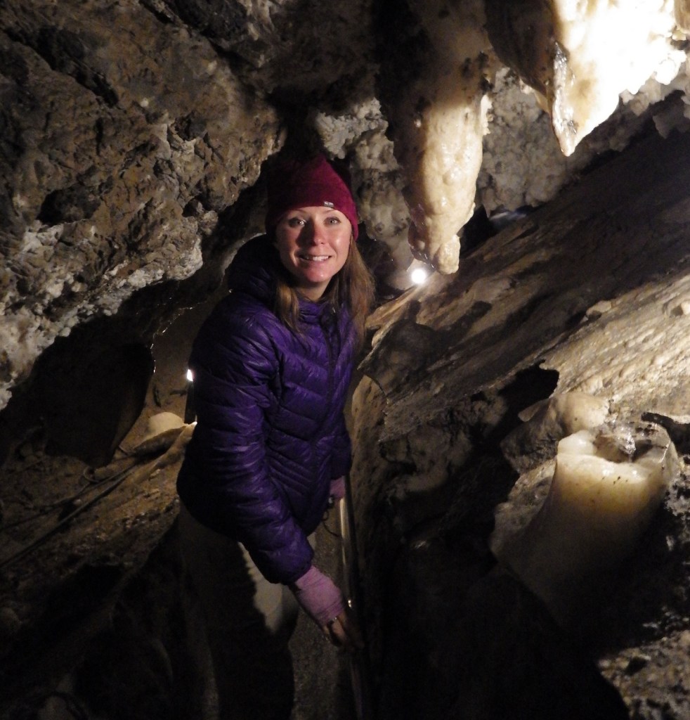
East of Provo, Utah in Uinta National Forest lies tiny Timpanogos Cave National Monument.  Accessing the cave requires a guided tour (fee) and a one-and-a-half mile hike that climbs 1,092 feet, but the destination is completely worth the effort as it has an amazing collection of helictites and other cave formations.

Highlights

Cave tour, Canyon Nature Trail, Alpine Scenic Drive, Timpanogos Peak, camping

Must-Do Activity

The cave tour actually takes you through three caves that were connected by manmade tunnels after the National Park Service (NPS) took over management in 1922.  It is a bit strange to find yourself turning a door handle when inside of a mountain, though. 

Best Trail

Most caves run by the NPS have an elevator, but Timpanogos Cave requires a one-and-a-half mile hike that climbs 1,092 feet, which might not sound too bad until you consider it starts above 5,600 feet in elevation.  The paved trail has many scenic overlooks at which you can stop to catch your breath.  Canyon Nature Trail is a flatter option near the visitor center if you are not hiking up to the caves.

Instagram-worthy Photo

Timpanogos Cave has the best collection of gravity-defying helictite crystals we have ever seen. 

Peak Season

Summer, closed October to May

Hours

https://www.nps.gov/tica/planyourvisit/hours.htm

Fees

There is an entry fee ($6) for Alpine Scenic Drive through American Fork Canyon, which is covered by the America The Beautiful Pass.  Tickets ($8 per person) for cave tours often sell out on weekends, so reservations are recommended (they can be made 30 days in advance).

Road Conditions

Alpine Scenic Drive is paved, but parking is limited at the NPS visitor center.

Camping

There are numerous campgrounds (both developed and primitive) along the 20-mile Alpine Scenic Drive through Uinta National Forest.  They can fill up due to its proximity to Salt Lake City, Utah, but backpacking is free and does not require a permit.

Explore More – How do helictites form in twisted shapes that defy gravity?

Grand Canyon National Park

Grand Canyon National Park

Arizona

Managed by National Park Service

Established 1908 National Monument, 1919 National Park

1,217,262 acres

Website: nps.gov/grca

Overview

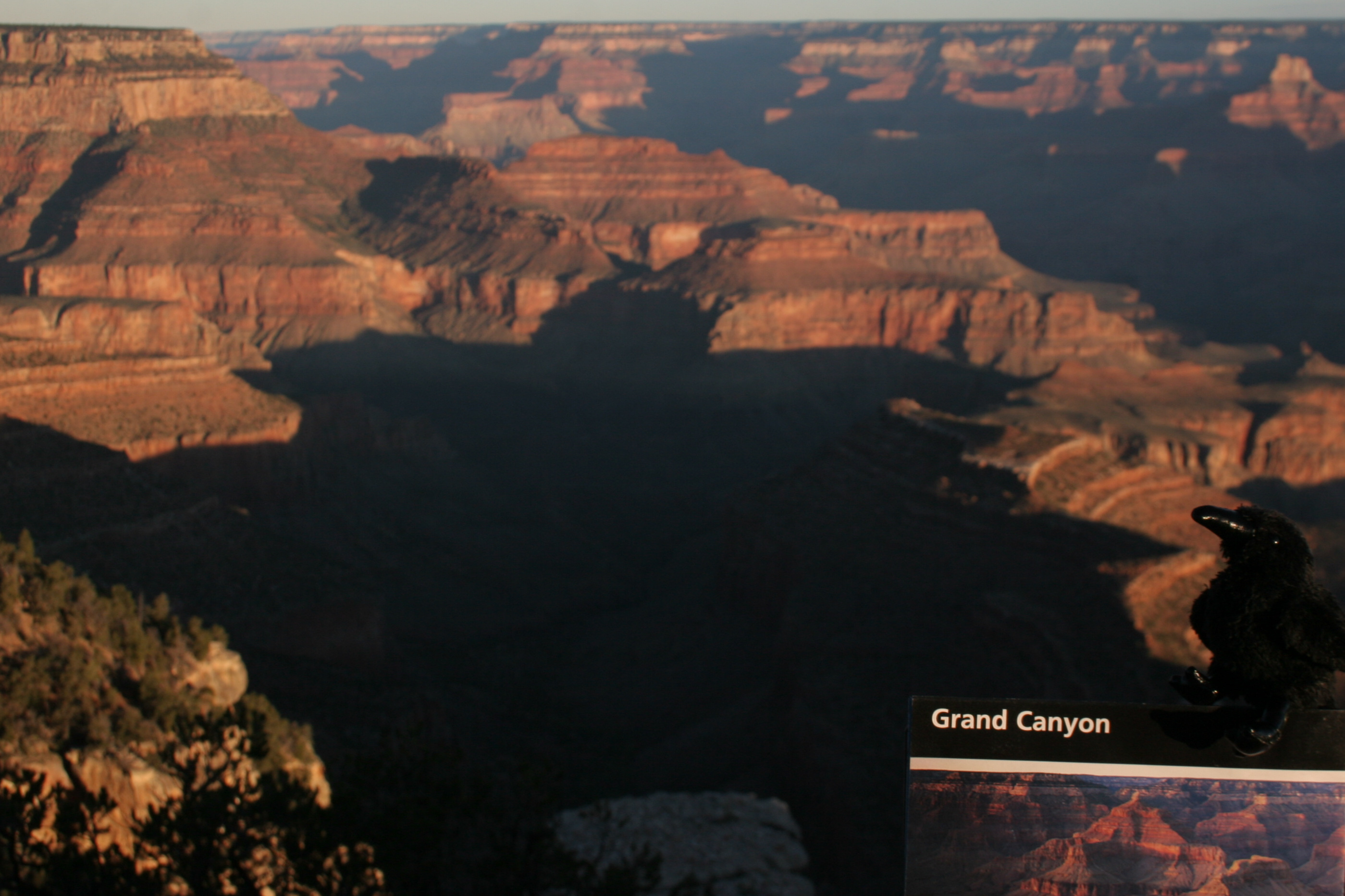
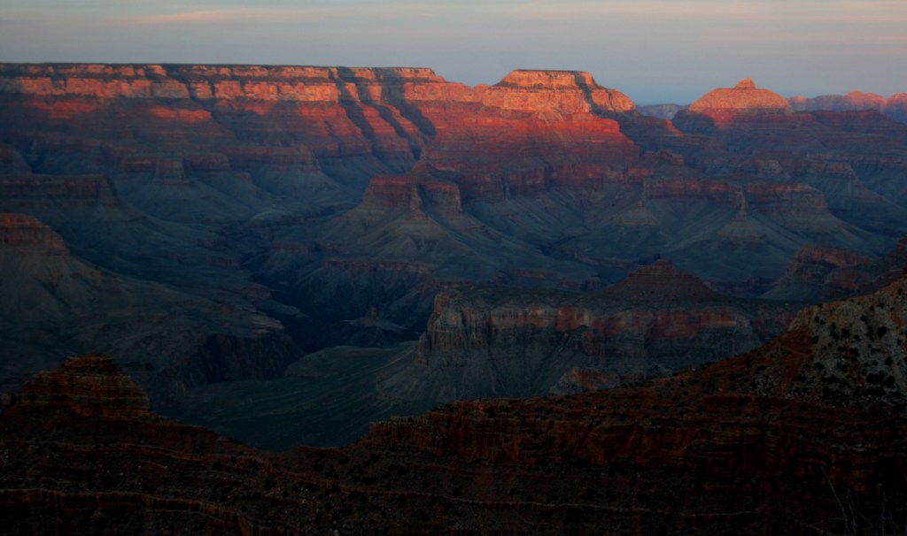
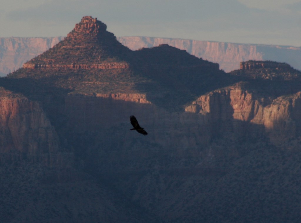
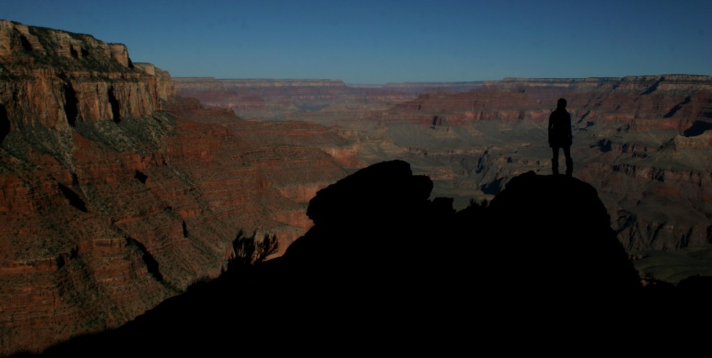
Grand Canyon National Park is generally considered one of the seven natural wonders of the world.   Billions of years of geologic history have been laid bare by the cutting power of the Colorado River.  It is cliché but true, you simply have to see this icon with your own eyes.  It can be overwhelming.  So can the crowds on the South Rim, but those tend to thin out if you hike a mile or two down a trail.  If you have the time during the summer months, be sure to drive five hours over the forested Kaibab Plateau to reach the North Rim (which is only 10 miles away as the raven flies). 

Know someone who loves National Parks? Gift them our travel guide A Park to Yourself: Finding Solitude in America’s 63 National Parks. 

Highlights

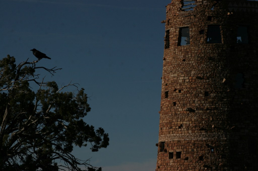
Desert View Watchtower, Hopi House, El Tovar Hotel, Phantom Ranch, Toroweap Overlook, whitewater rafting the Colorado River

Must-Do Activity

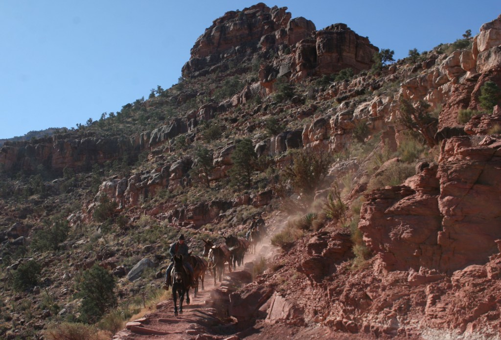
Growing up in Arizona, Scott used to visit this park frequently, but he feels he never got to know it until he hiked to the bottom in 2016.  Even if you only go a couple thousand feet down in elevation on the Grandview Trail or busy Bright Angel Trail, it will give you a new perspective on the canyon.

Best Trail

We day hiked the 18 miles from South Kaibab Trailhead (7200 feet elevation) down to Phantom Ranch (2500 feet) where we filled up with water on the way back up to Bright Angel Trailhead (6800 feet, with multiple water stations on the trail).  Backcountry permits can turn this into a multiple day trek, but then you have to carry all your gear out.

Photographic Opportunity

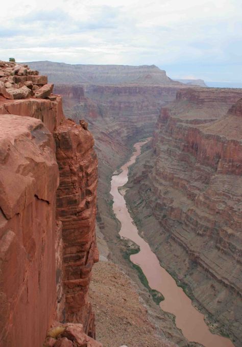
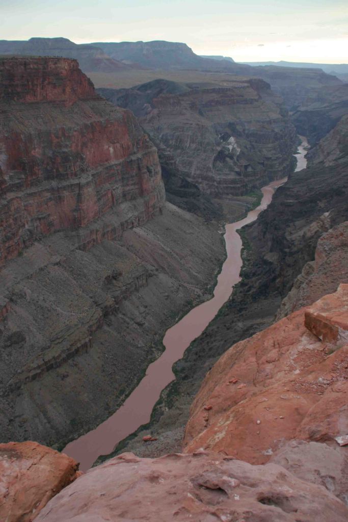
It is an arduous 90-mile one-way drive down a mostly dirt road to access Toroweap Overlook (free online permit required before arrival), but there is a reason photos from this fantastic overlook show up everywhere since the canyon walls are nearly vertical here.

Peak Season

Summer when it is very hot inside the canyon, though it can also be busy around the spring, fall, and December holidays.

Hours

https://www.nps.gov/grca/planyourvisit/hours.htm

Fees

$35 per vehicle or America The Beautiful pass

Road Conditions

Most roads are paved, and except for the very end of the 90-mile long graded dirt road to Toroweap Overlook is accessible to all passenger vehicles (free permit required).

Camping

The park has campgrounds on both rims, but you can also find dispersed camping in the neighboring Kaibab National Forest.

Related Sites

Baaj Nwaavjo I’tah Kukveni–Ancestral Footprints of the Grand Canyon National Monument (Arizona)

Coconino National Forest (Arizona)

Wupatki National Monument (Arizona)

This design we created to celebrate Grand Canyon National Park is available on a variety of products at Cafe Press and Amazon.

Explore More – Was Marguerite Henry’s book character Brighty based on a real burro?

Know someone who loves National Parks? Gift them our travel guide A Park to Yourself: Finding Solitude in America’s 63 National Parks.