Cleveland National Forest
California
Managed by U.S. Forest Service, Pacific Southwest Region
568,634 acres (439,281 federal/ 129,353 other)
Website: https://www.fs.usda.gov/cleveland
Overview
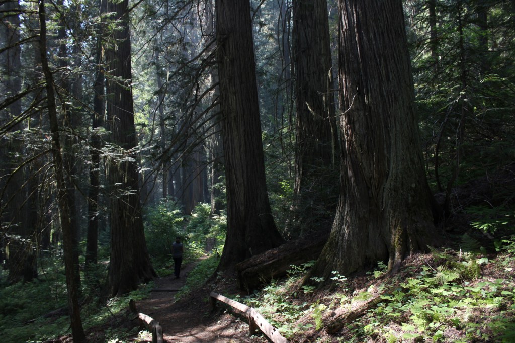
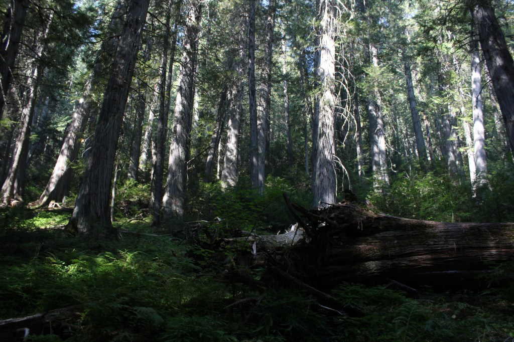
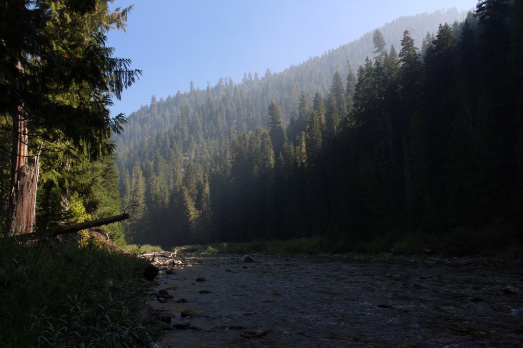
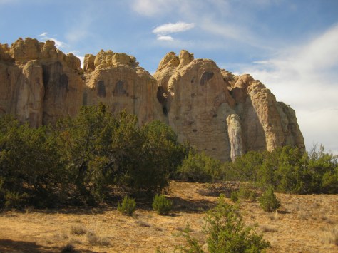
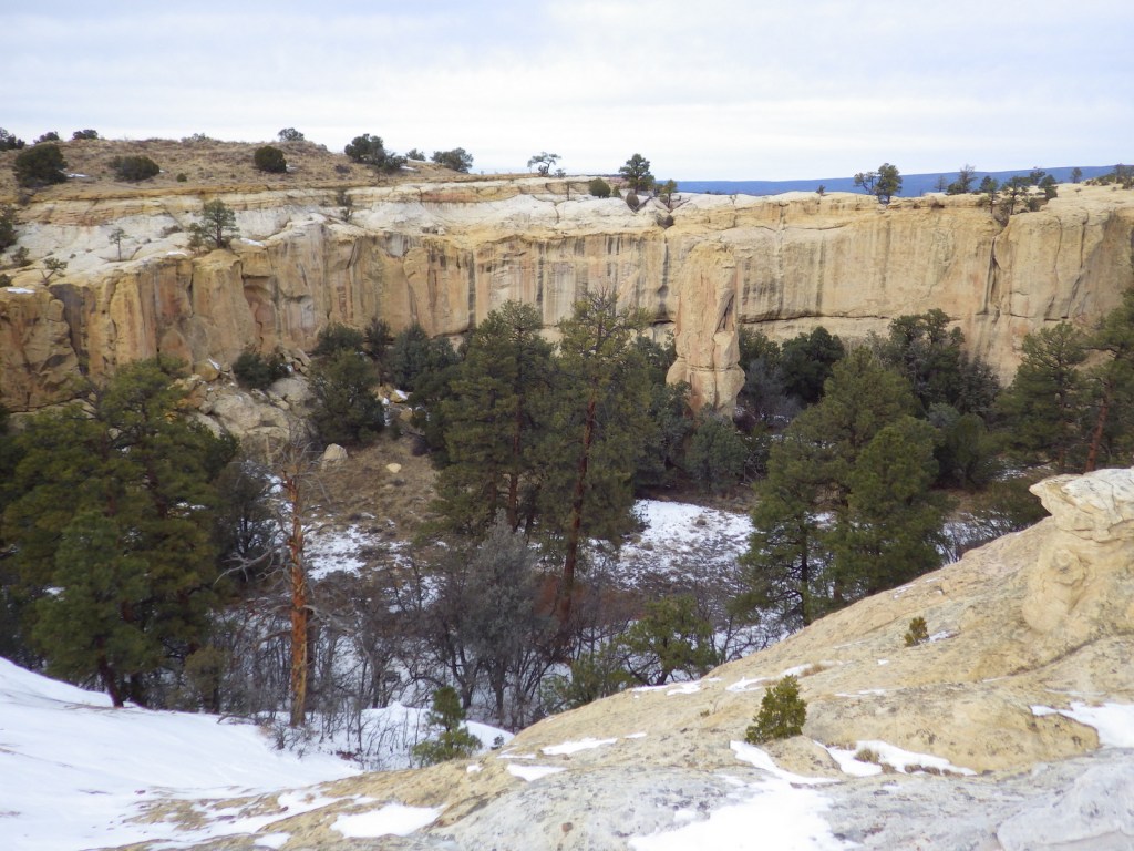
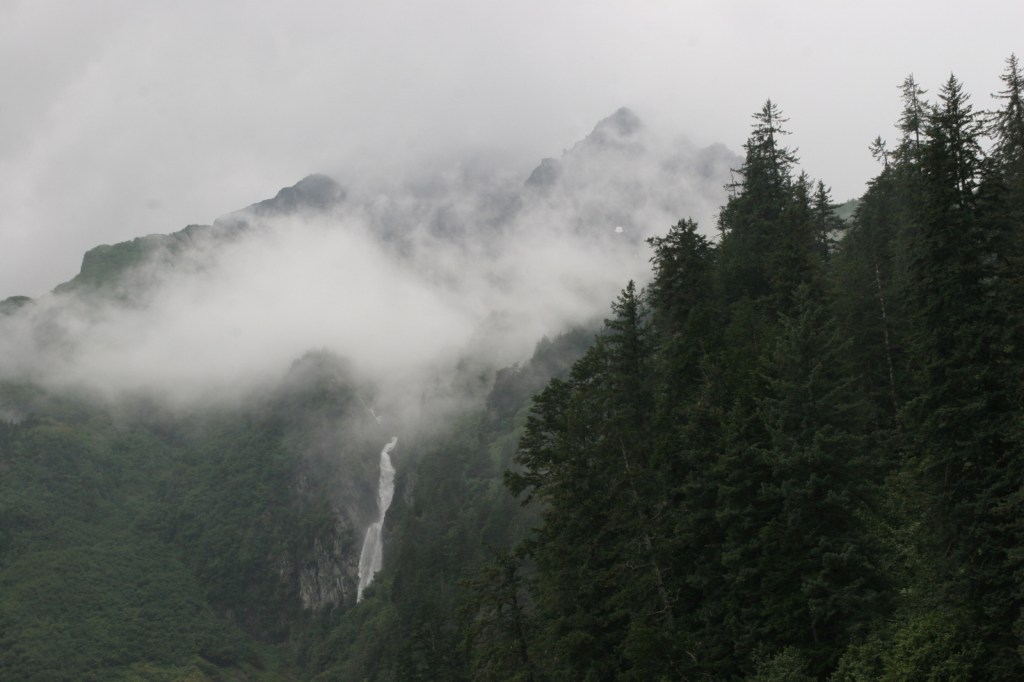
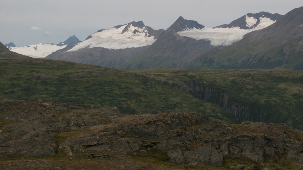
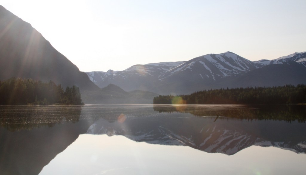
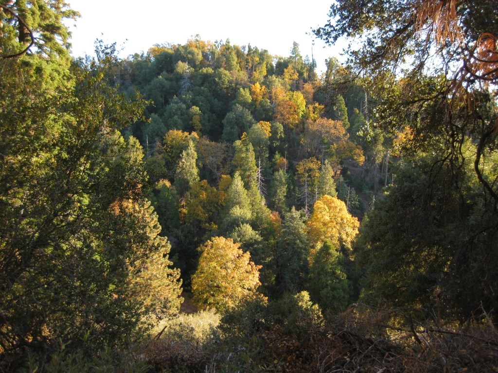
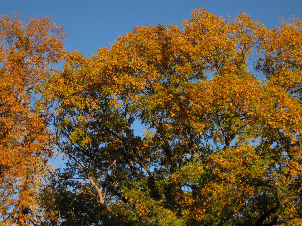
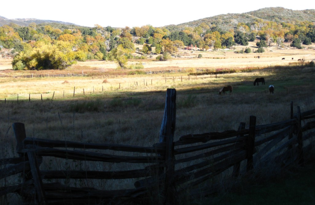
In southwestern California, Cleveland National Forest was established in 1908 and named for the U.S. President who added 21-million acres to the Forest Reserve system in the 1890s. The National Forest is notable for its Mediterranean climate and low elevation (its highest point is 6,271-foot Monument Peak). Most of its acreage is chaparral, not forest, making it more prone to frequent wildfires. Despite its proximity to San Diego and the densely-populated Pacific Coastline, it contains four designated Wilderness areas.
Highlights
Sunrise Scenic Byway, Henshaw Scenic Vista, Monument Peak, Three Sisters Falls, Laguna Mountain Recreation Area, Cedar Creek Falls, Sunset Trail, Noble Canyon National Recreation Trail, Agua Tibia Trail, San Juan Loop Trail, Desert View Nature Trail, Pioneer Mail Trail, Observatory Trail
Must-Do Activity
Located ten miles north of Highway 76, Palomar Mountain is best known as the home of Caltech’s Palomar Observatory, which was established in 1928. It is open daily for tours of the A.W. Greenway Jr. Visitor Center and the 200-inch Hale Telescope, which reigned as the world’s largest from 1949 until 1975. Two miles downhill is the Forest Service’s Observatory Campground and the trailhead for the 2.2-mile one-way Observatory National Recreation Trail. An Adventure Pass is required to park here, but not if you start at the observatory. The trail gains about 900 feet in elevation as it climbs through an oak-pine forest to the Palomar Observatory (that sits at 5,598 feet in elevation) providing views of the Mendenhall Valley.
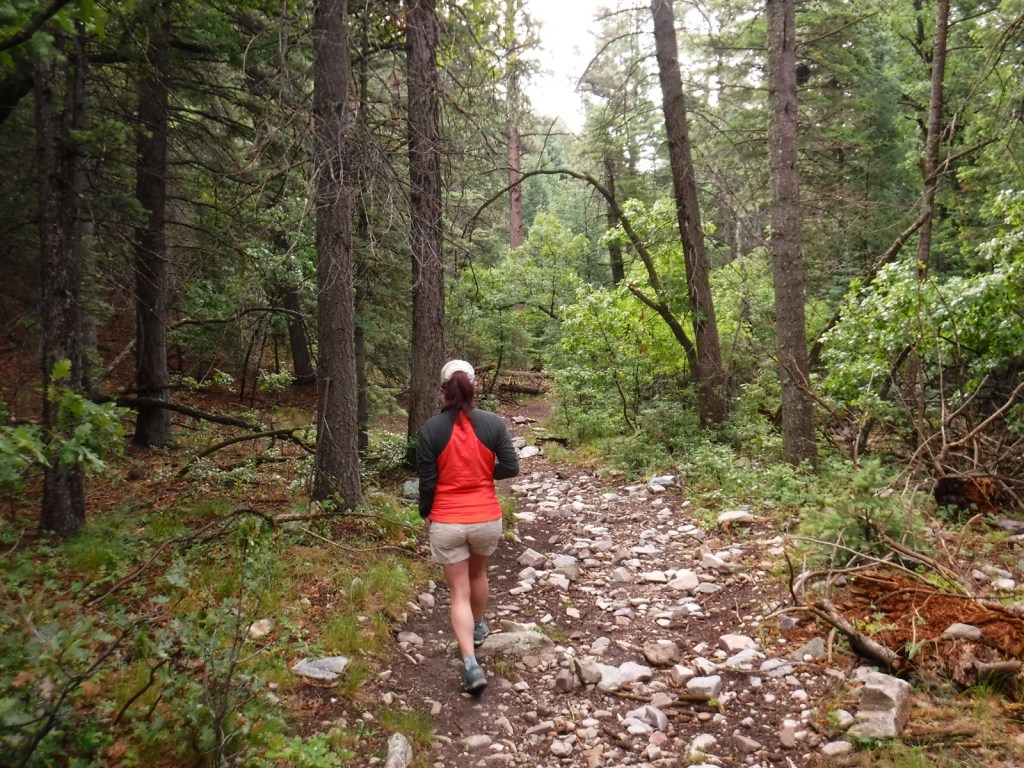
Best Trail
The Sunset Trail makes a 4.6-mile loop from the Meadows Trailhead at mile marker 19 on the Sunrise Scenic Byway. The trail provides a view of the Pacific Ocean after passing meadows, ponds, and oak savannahs.
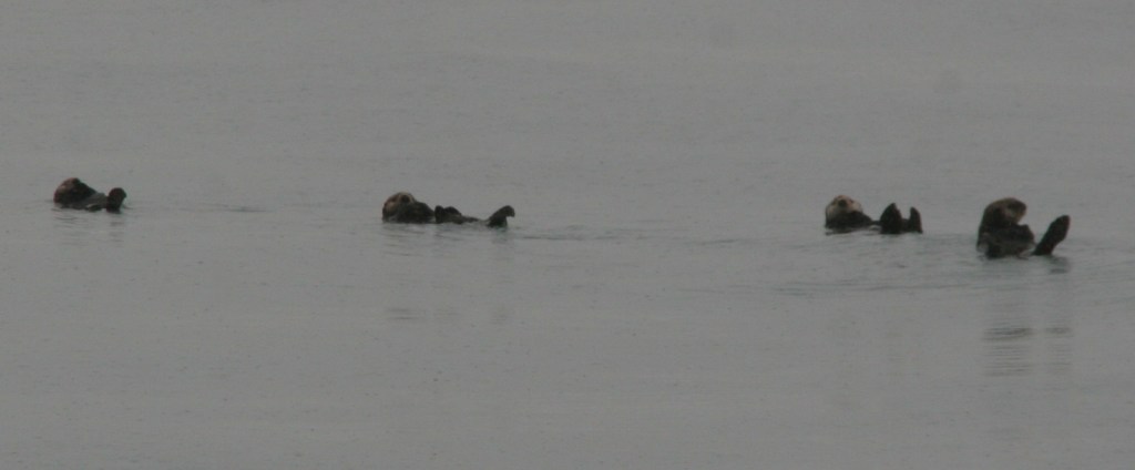
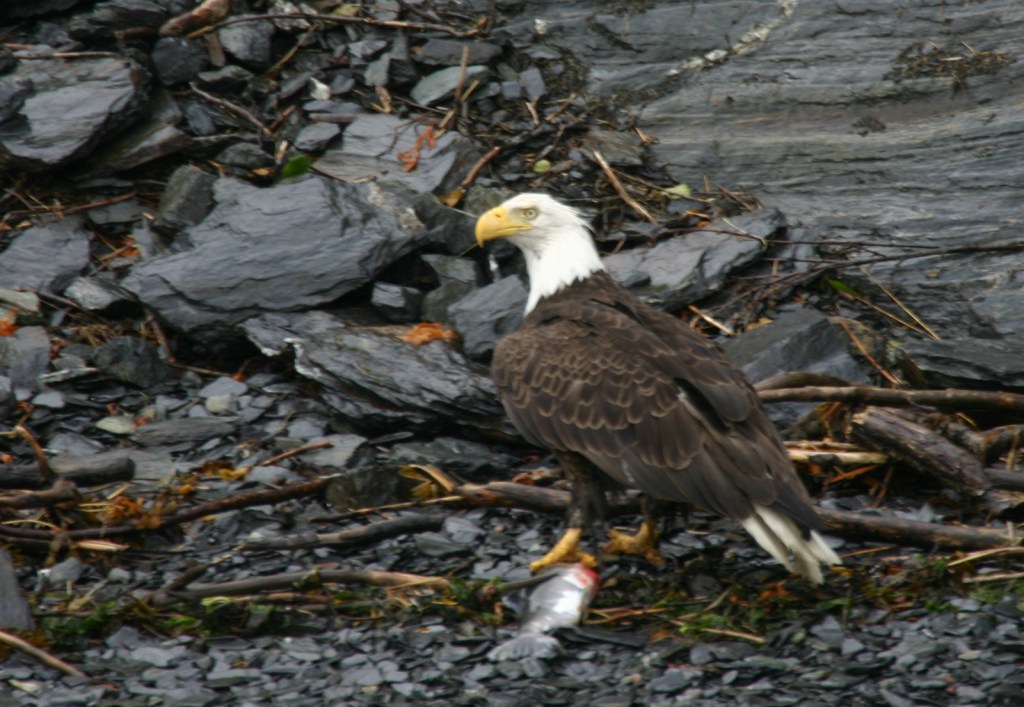
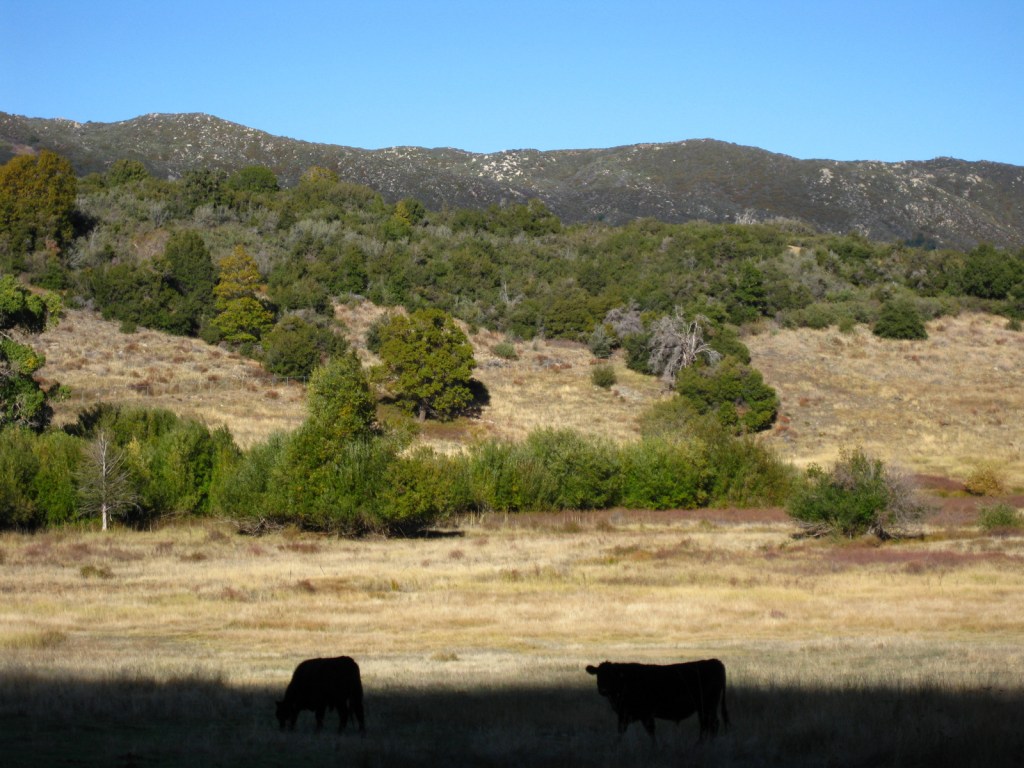
Watchable Wildlife
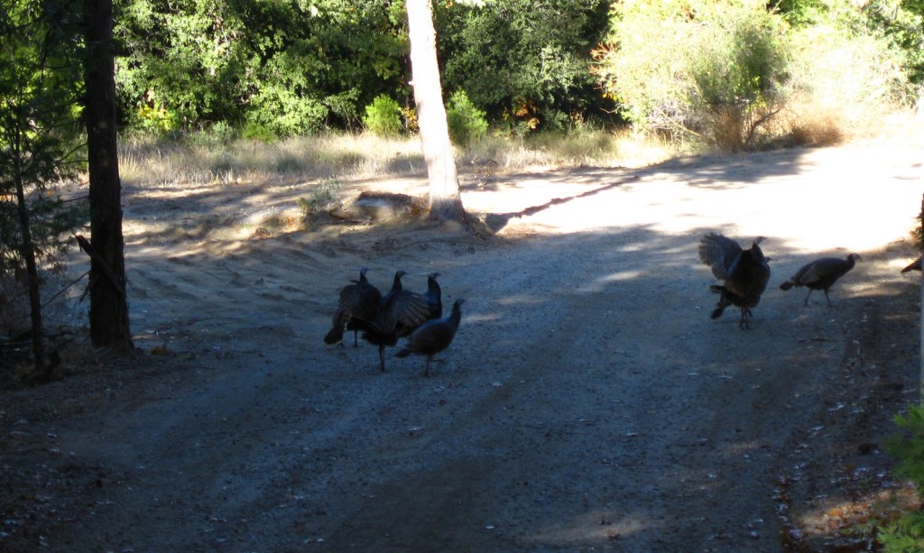
Despite its proximity to the San Diego metropolitan area, Cleveland National Forest is home to black bears, gray foxes, bobcats, and mountain lions. Black-tailed deer, bighorn sheep, wild turkeys, and coyotes are more likely to be encountered by visitors.
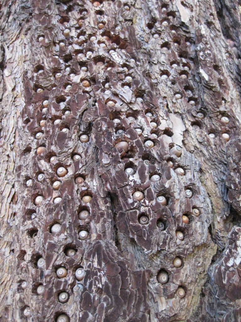
Instagram-worthy Photo
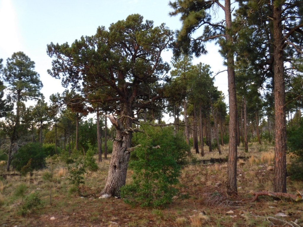
Look for acorn woodpeckers’ seed caches riddled into some of the Jeffrey pine trees in the forest.
Peak Season
Winter
Fees
An Adventure Pass is required to park at several trailheads (including the Observatory Trail) throughout the National Forest, but an America the Beautiful pass can be substituted.
Road Conditions
The Sunrise Scenic Byway and the road to Palomar Observatory are both paved, although there are many unpaved routes through the National Forest.
Camping
Two miles downhill from the Palomar Observatory is the Forest Service’s Observatory Campground, a great place to stay if you plan to attend a star party on moonless nights. Palomar Mountain State Park also has a campground.
Wilderness Areas
Agua Tibia Wilderness (also run by the Bureau of Land Management)
Hauser Wilderness
Pine Creek Wilderness
San Mateo Canyon Wilderness
Related Sites
Channel Islands National Park (California)
Cabrillo National Monument (California)
Mojave National Preserve (California)
Nearest National Park


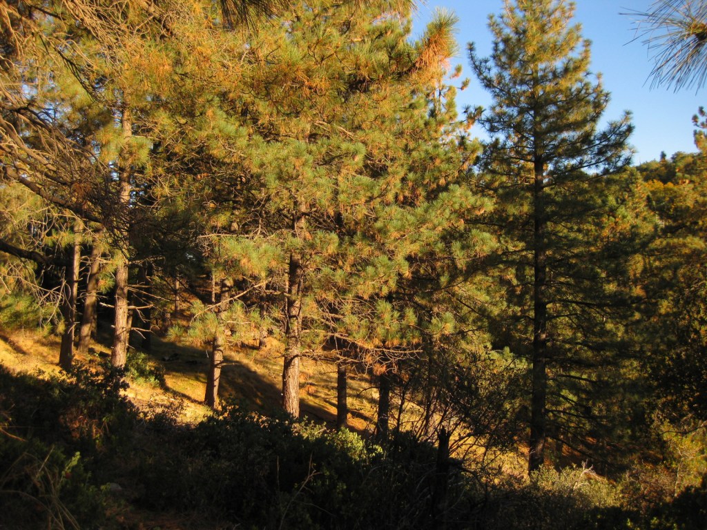


Jeffrey pine, Coulter pine, white fir, California juniper, Arizona cypress, Tecate cypress
Flowering Tree Species
Engelmann oak, coast live oak, California black oak, manzanita
Explore More – Who was the U.S. President that established the first 13-million acres of Forest Reserves starting in 1891, prior to Grover Cleveland?


Learn more about Cleveland and the 154 other National Forests in our new guidebook Out in the Woods

We are a participant in the Amazon Services LLC Associates Program, an affiliate advertising program designed to provide a means for us to earn fees by linking to Amazon.com and affiliated sites.