Tag Archives: boating

Bighorn Canyon National Recreation Area

Overview

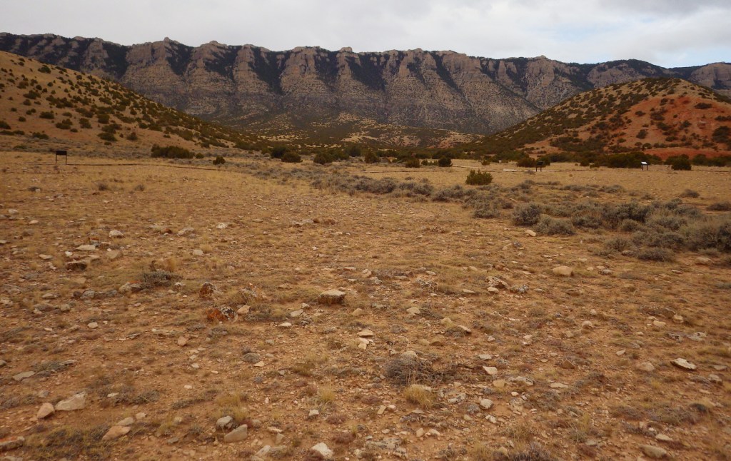
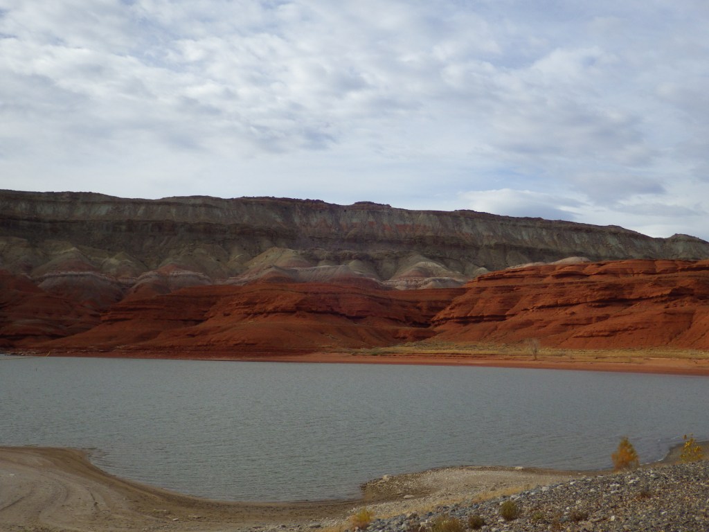
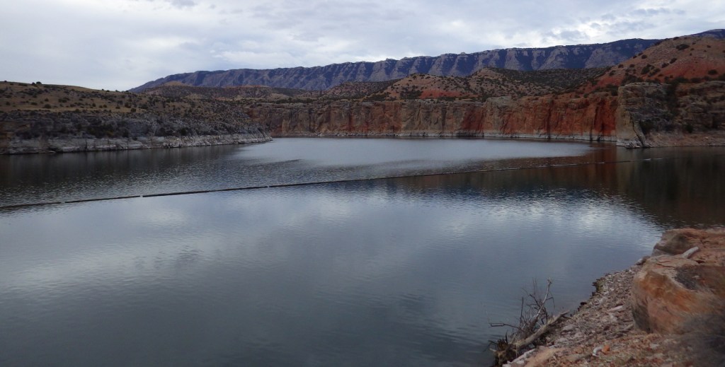
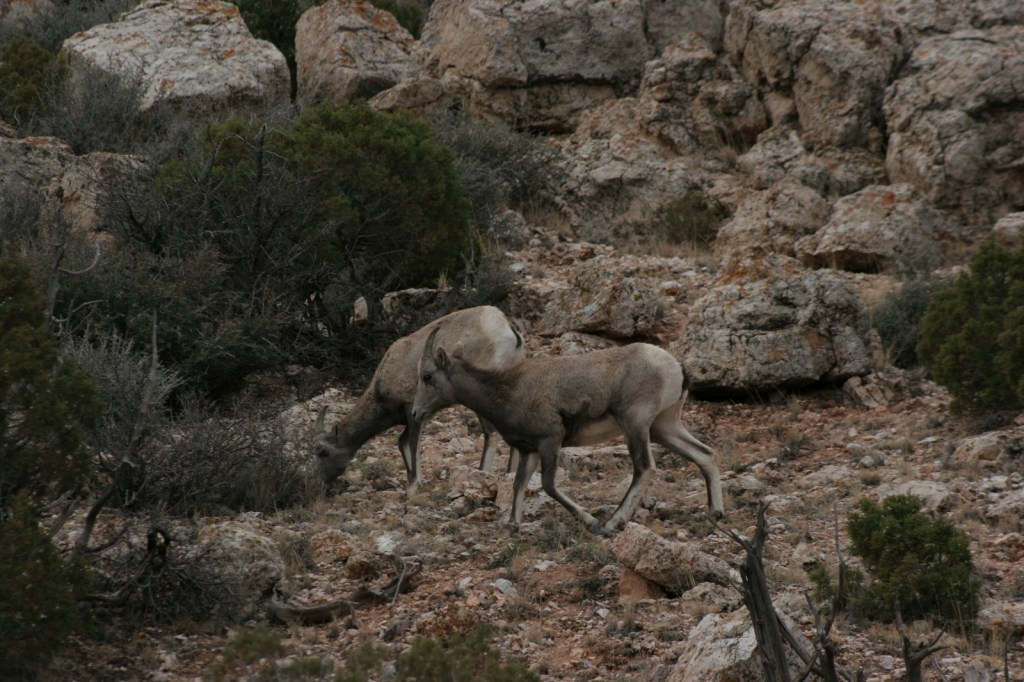
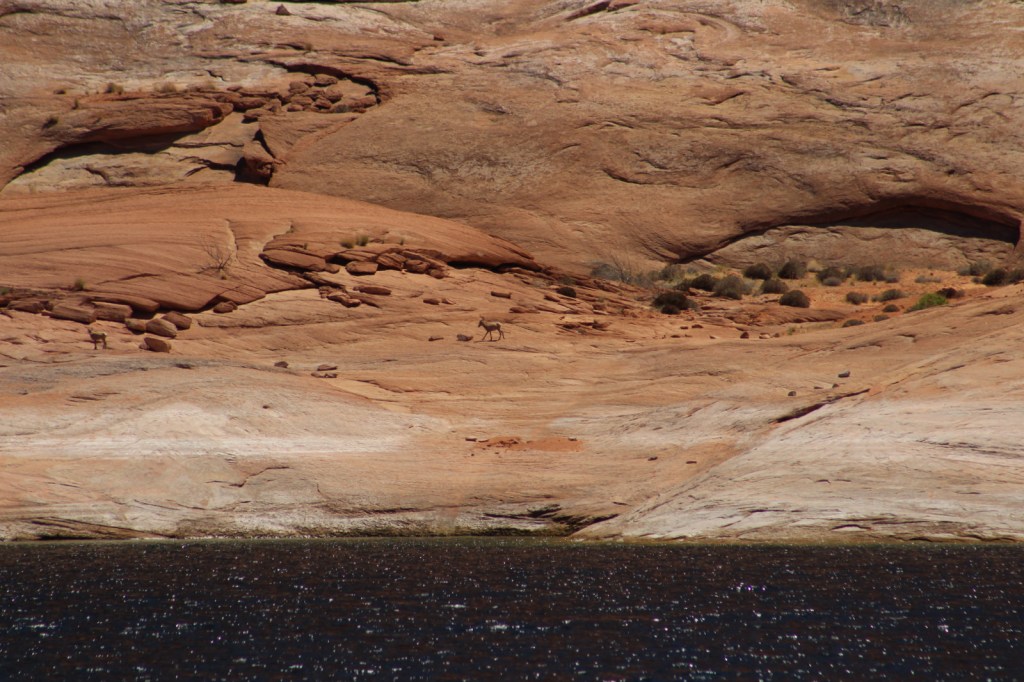
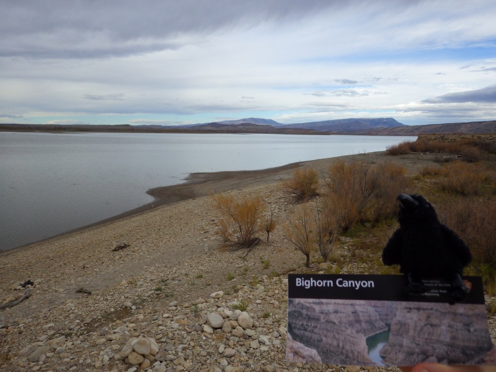
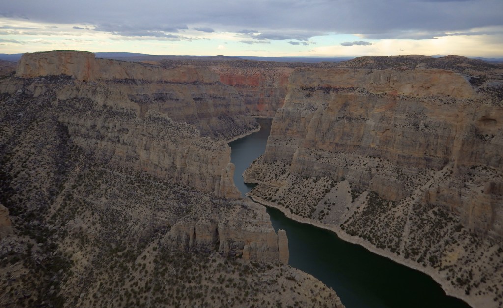
Bighorn Canyon National Recreation Area is an underappreciated gem in the National Park Service (NPS) system.  It has gorgeous scenery, a winding reservoir, and abundant wildlife, including bighorn sheep and wild horses.  The 525-foot tall Yellowtail Dam was completed in 1968, creating a 71-mile long reservoir, the majority of which is in narrow Bighorn Canyon where cliffs soar up to 2,000 feet above the water.
Highlights

Devil Canyon Overlook, Hillsboro Dude Ranch, Horseshoe Bend, Yellowtail Dam

Must-Do Activity

No road connects the north and south portion of the park, making for a long drive between the NPS visitor center in Lovell, Wyoming and the one at the Yellowtail Dam in Montana.  Thus, it is best to choose either one side or the other and explore the canyon by boat.  Devil Canyon Overlook and most of the 27 miles of hiking trails are in the southern section.  This is also where the Pryor Mountain Wild Horse Range enters into Bighorn Canyon National Recreation Area.  In the summer there are lifeguards at the designated swimming areas at Horseshoe Bend and Ok-A-Beh.

Best Trail

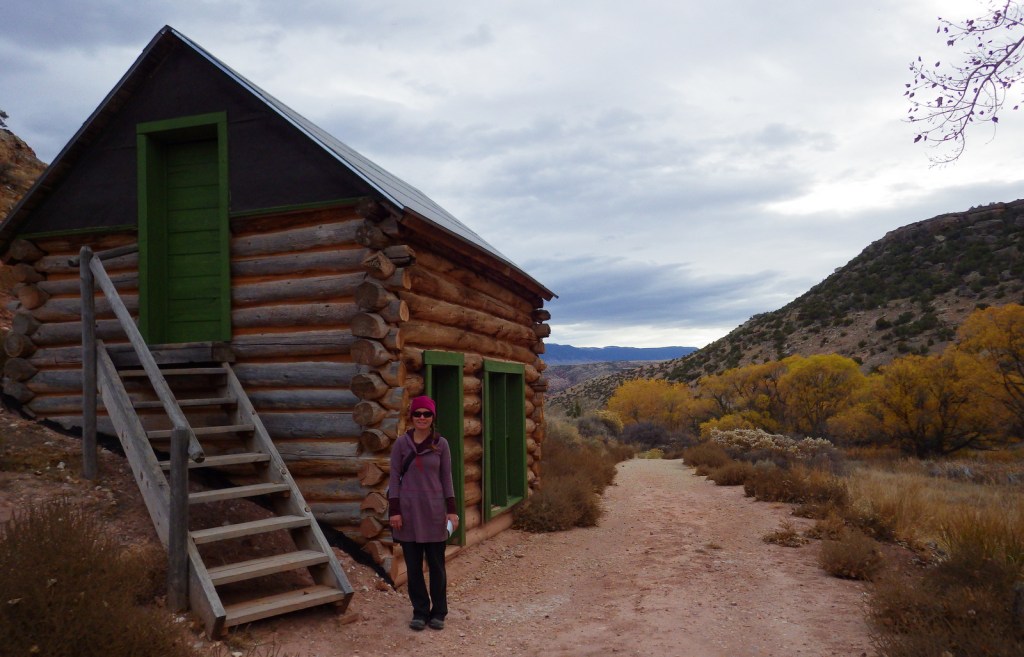
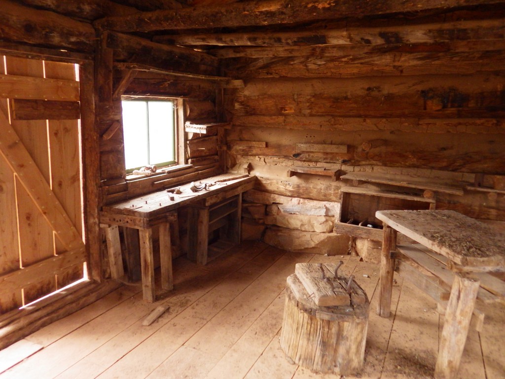
The southern portion of Bighorn Canyon National Recreation Area has trails to historic sites like Hillsboro Dude Ranch and several tipi rings found along Bad Pass Trail, a route which has seen over 10,000 years of human use.

Instagram-worthy Photo

If you are unable to get out on the water, the highlight of the park is Devil Canyon Overlook where the cliffs drop over 1,000 feet straight down to the lake.
Peak Season

Summer

Hours

https://www.nps.gov/bica/planyourvisit/hours.htm

Fees

None

Road Conditions

Almost every road is paved, but they are narrow and winding so may not be advisable for very long RVs.

Camping

There are drive-in campgrounds (fee) in both states, as well as free boat-in campgrounds on the Montana side.  Backcountry camping is allowed below the highwater mark of Bighorn Lake.

Related Sites

Little Bighorn Battlefield National Monument (Montana)

Devils Tower National Monument (Wyoming)

Jewel Cave National Monument (South Dakota)

Explore More – The Yellowtail Dam is named after whom?

Boston Harbor Islands National Recreation Area

Overview

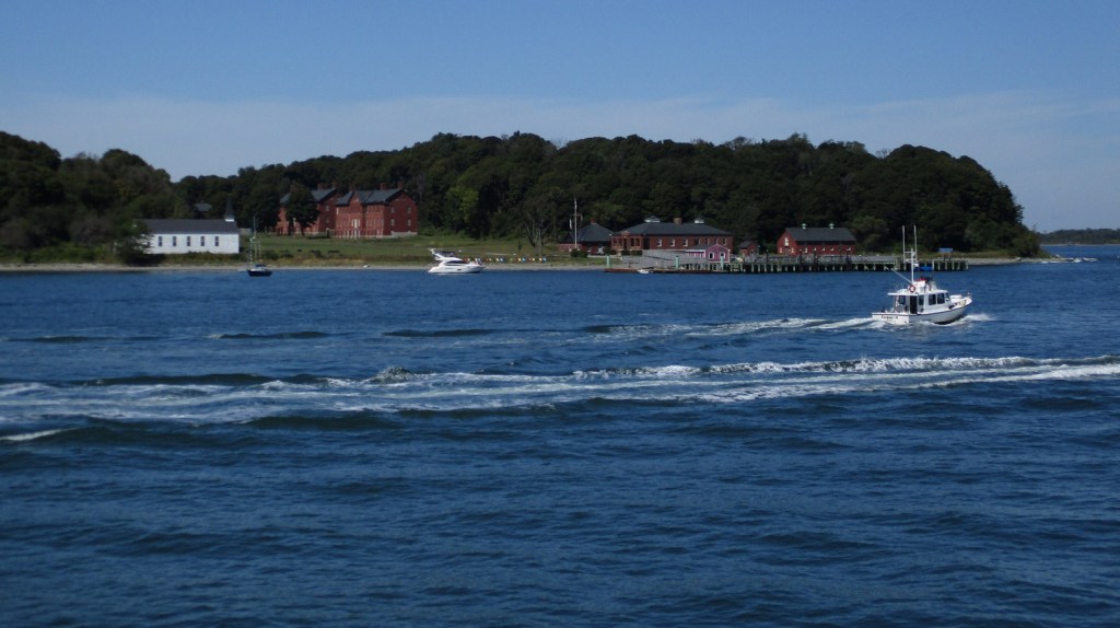
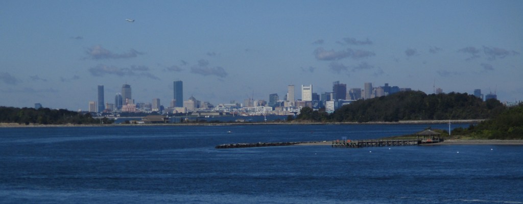
Established in 1996, there are 34 separate sites encompassed within Boston Harbor Islands National Recreation Area.  Not all of the areas are islands, some, like Worlds End, are the tips of peninsulas with roads accessing them from the suburbs of Boston, Massachusetts.  The park is a managed by a hodgepodge of agencies, including the U.S. Coast Guard’s Boston Light on Little Brewster Island (open to ranger-led tours in the summer months).

Highlights

Worlds End, Governors Island, Webb Memorial State Park, Spectacle Island

Must-Do Activity

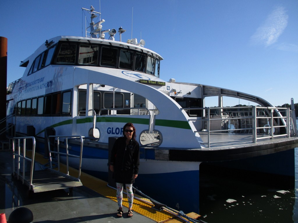
It is probably best to pick one island and thoroughly explore it by catching a ferry from Long Wharf North in downtown Boston, Hingham Shipyard, or Pemberton Point in Hull.  We chose Georges Island which is mostly taken up by Fort Warren, which dates back to 1850.  During the Civil War, the fort served as an artillery base and a prison.  The National Park Service (NPS) operates an excellent museum on the island and shows a film on its history.  Georges and Spectacle Islands are the only two islands that offer food for sale, plus they have water taxis leave from each dock to access many of the other islands.

Best Trail

Spectacle Island has five miles of hiking trails and also contains the highest point within Boston Harbor Islands National Recreation Area at 157 feet in elevation.

Instagram-worthy Photo

The site of the first lighthouse in America, Boston Light on Little Brewster Island can be seen from Georges Island and is open to guided tours in the summer.

Peak Season

Summer

Hours

https://www.nps.gov/boha/planyourvisit/basicinfo.htm

Fees

Passengers ferries charge fares, but there is not an entrance fee to the islands or Webb Memorial State Park.

Road Conditions

Most of the islands do not allow private vehicles, but you can bring your bicycle onto the ferries.  Webb Memorial State Park, Deer Island, Worlds End, and Nut Island are accessible by paved roads in the Boston area.

Camping

There are yurts on Peddocks Island and tent camping is allowed on Bumpkin, Grape, Peddocks, and Lovells Islands from late June through Labor Day.  Backcountry permits are required for stays on undeveloped islands.

Related Sites

Boston National Historical Park (Massachusetts)

Cape Cod National Seashore (Massachusetts)

Gateway National Recreation Area (New York-New Jersey)

Explore More – During the Civil War, who wrote the lyrics to “John Brown’s Body” while serving at Fort Warren?

Lake Roosevelt National Recreation Area

Overview

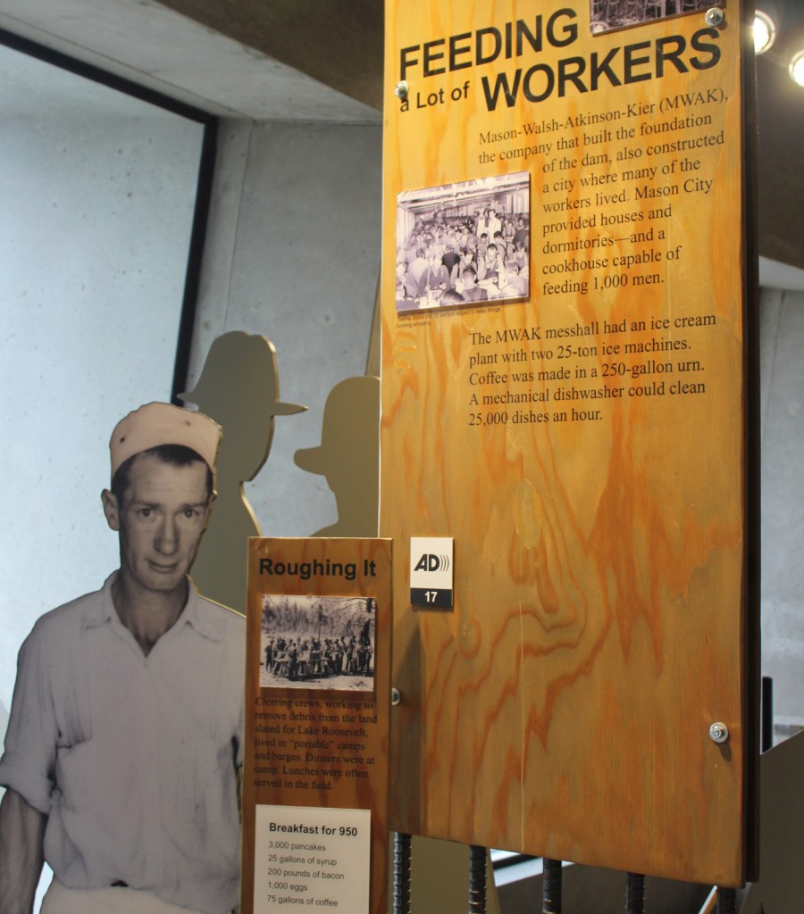
Stretching nearly one mile (5,223 feet) in length, the Grand Coulee Dam was the first constructed across the mighty Columbia River between 1933 and 1942.  In case you are wondering what a “coulee” is, that is a regional name for a canyon, many of which were carved by the walls of water that scoured this region after Lake Missoula burst through its ice dams periodically 15,000 to 13,000 years ago.  The reservoir created by the dam was named for President Franklin D. Roosevelt, which is why the National Park Service (NPS) manages it as Lake Roosevelt National Recreation Area.

Highlights

Grand Coulee Dam Visitor Center, Fort Spokane, St. Paul’s Mission, watersports

Must-Do Activity

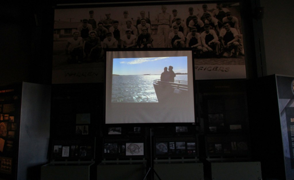
The Bureau of Reclamation manages the museum at Grand Coulee Dam Visitor Center and a free laser light show is projected on the mile-long dam during the summer months.  Near a major river confluence, Fort Spokane was established in 1880 and now has a one-mile trail explaining its diverse history.  The reservoir submerged the salmon fishing grounds at Kettle Falls that had been used for millennia.  Native Americans still inhabit this region today, as the lake creates a border between the Colville and Spokane Indian Reservations.  Campgrounds and boat launch sites are located all along the narrow lake’s 129-mile length, although some may close due to changing reservoir levels.

Best Trail

A quarter-mile trail with interpretive signs is located at St. Paul’s Mission, one of the oldest churches in Washington state.  Here you will learn about (now submerged) Kettle Falls and the Hudson’s Bay Company’s historic impact on the region.

Instagram-worthy Photo

At the time, the Grand Coulee Dam became the largest masonry structure ever built, breaking a record held for 4,700 years by the Great Pyramid in Egypt.

Peak Season

Summer

Hours

https://www.nps.gov/laro/planyourvisit/hours.htm

Fees

The NPS charges a fee at boat launches and you cannot use the America the Beautiful pass.  Grand Coulee Dam Visitor Center is free, as are the Keller Ferry and Gifford–Inchelium Ferry that cross the lake.

Road Conditions

There are some unpaved roads, but the designated Scenic Drive follows only paved roads and utilizes two free ferries.

Camping

There are 26 campgrounds available on a first-come, first-served basis, while sites at a few take reservations.  Boat-in campgrounds and shoreline camping are both free.

Related Sites

Whitman Mission National Historic Site (Washington)

Glen Canyon National Recreation Area (Arizona-Utah)

Lake Mead National Recreation Area (Nevada-Arizona)

Explore More – During peak construction, how many people were employed at the Grand Coulee Dam?

Glen Canyon National Recreation Area

Overview

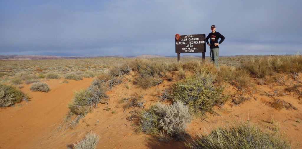
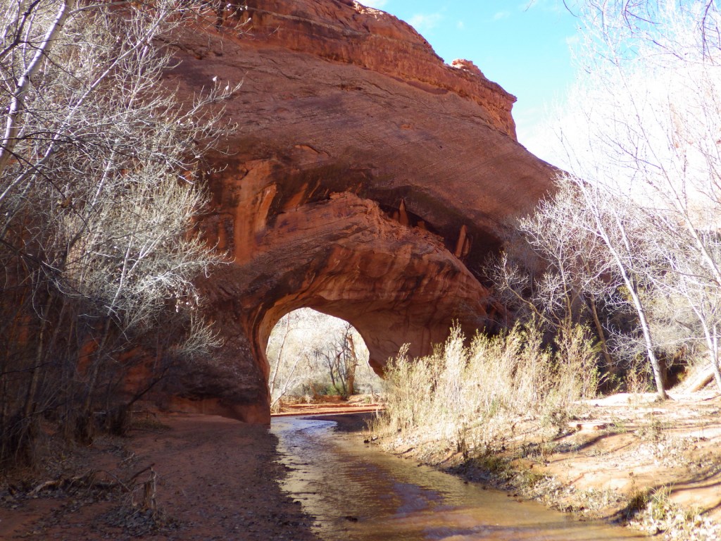
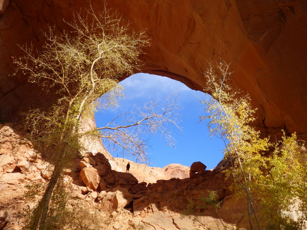
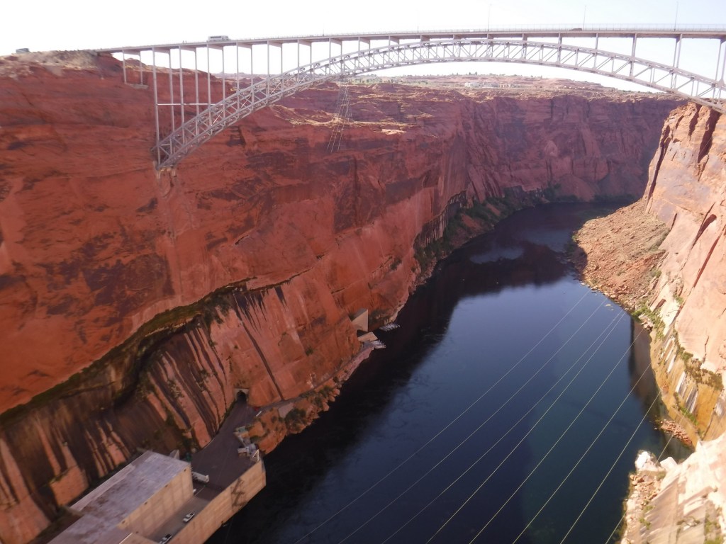
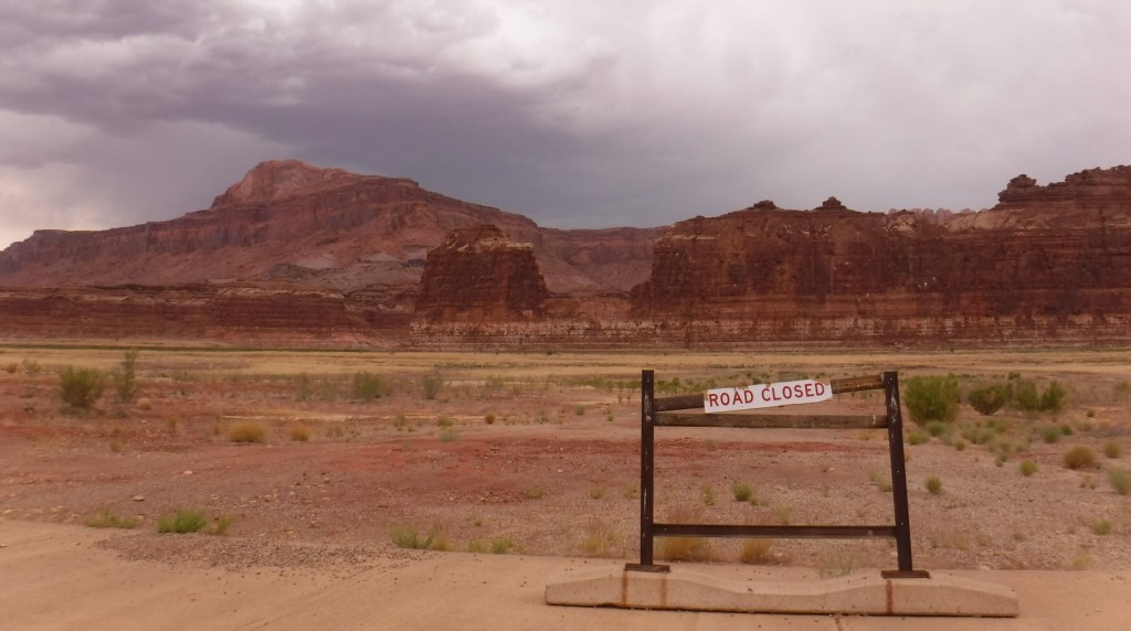
Glen Canyon National Recreation Area encompasses 1.2-million acres surrounding the snaky shoreline of Lake Powell, named for geologist John Wesley Powell who led a mapping expedition down the Colorado River in 1869.  The reservoir was formed by the Glen Canyon Dam, which was built between 1956-63 to store water for the Southwestern U.S. and generate hydroelectricity.  The damming was controversial because it destroyed archaeological sites, submerged scenic canyons, and altered the flow of the Colorado River into Grand Canyon National Park. 

Highlights

Horseshoe Bend Overlook, Lake Powell, Glen Canyon Dam, Cathedral Wash, Lees Ferry, Hole-in-the-Rock

Must-Do Activity

The National Park Service (NPS) run Carl Hayden Visitor Center in Page, Arizona is a good place to start a visit, where you can purchase tickets for a dam tour.  The meandering lake has about 2,000 miles of shoreline (mostly in Utah) with plenty of coves to explore and spend the night aboard a houseboat (rentals available).  If you do not want to attempt navigation there are many commercial boat trips, including an all-day cruise to Rainbow Bridge National Monument.  If you plan to stay on land, be sure to walk out to Horseshoe Bend Overlook, hike through the high desert landscape, or drive some of the hundreds of miles of dirt roads.

Best Trail

Wiregrass Canyon is located east of Big Water, Utah and the rocky trail passes hoodoos and two natural bridges.

Instagram-worthy Photo

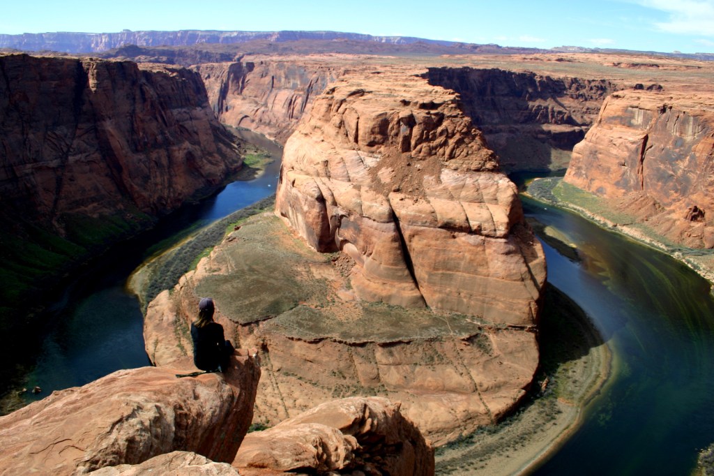
You might want to bring your “selfie stick” to iconic Horseshoe Bend Overlook, a short 0.7-mile one-way hike from the parking area on Highway 89 outside Page, Arizona.

Peak Season

Spring and fall

Hours

https://www.nps.gov/glca/planyourvisit/hours.htm

Fees

Parking is now $10 at Horseshoe Bend Overlook (no NPS passes accepted), but many other sites are free. There is a $30 per vehicle entrance fee at some marinas (NPS passes accepted), in addition to charges for the dam tour and guided boat tours.

Road Conditions

This park is famous for its backcountry 4×4 roads (like Hole-in-the-Rock Road) and flash floods, so check with a park ranger before attempting anything unpaved.  A fee is charged to ferry across the lake between Halls Crossing and Bullfrog Marina.

Camping

There are several developed campgrounds (mostly near marinas), but free primitive camping is allowed along most dirt roads.  A permit is required for overnight camping in the beautiful Coyote Gulch area, which is popular with backpackers.

Related Sites

Lake Mead National Recreation Area (Nevada-Arizona)

Canyon de Chelly National Monument (Arizona)

Capitol Reef National Park (Utah)

Explore More – Lake Powell is well known for its “bath tub ring,” so when did the reservoir last reach its high-water mark?
Kenai Fjords National Park

Kenai Fjords National Park

Alaska

Managed by National Park Service

Established 1980

669,984 acres

Website: nps.gov/kefj

Overview

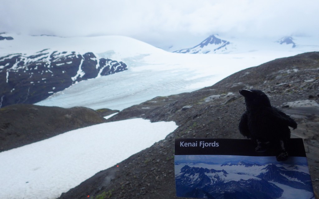
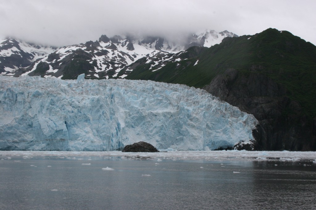
Our favorite of the eight National Parks in Alaska is Kenai Fjords.  It is a great place to witness the thunderous calving of a tidewater glacier, an experience that should be on everyone’s bucket list.  Boat tours leave from the port of Seward and travel up beautiful Resurrection Bay, a long saltwater-filled valley (or fjord).  The town was named in 1903 for the Secretary of State who purchased the Alaska Territory from Russia in 1867 for less than two cents per acre, a move then known as “Seward’s Folly.”  Exit Glacier is the only portion of the park accessible by road and is worth the side trip. 

Know someone who loves National Parks? Gift them our travel guide A Park to Yourself: Finding Solitude in America’s 63 National Parks. 

Highlights

Exit Glacier, boat tours, tidewater glaciers, marine wildlife

Must-Do Activity

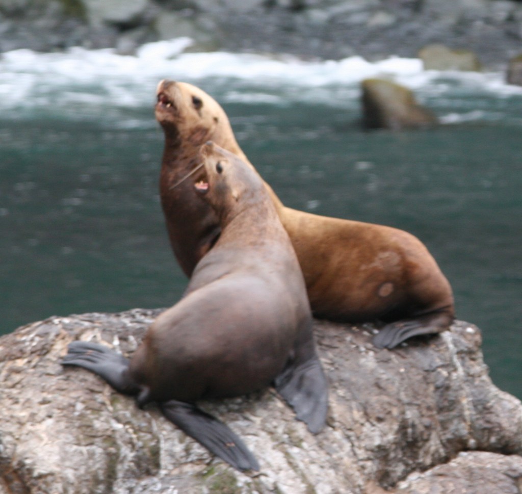
A tour boat is the easiest way to get up close to the variety of marine mammals and seabirds, but hardier souls can kayak the silty blue waters of Resurrection Bay.  Along the route to actively calving Aialik Glacier, you will see an abundance of wildlife: orcas, humpback whales, sea otters, sea lions, bald eagles, puffins, cormorants, and so much more.  Some tour boats have a National Park Service ranger on board to narrate, answer questions, and help kids earn Junior Ranger badges.  Tour boats get you close to the action to witness a tidewater glacier calving into the ocean.  These glaciers are one of 32 arms of the massive Harding Ice Field.

Best Trail

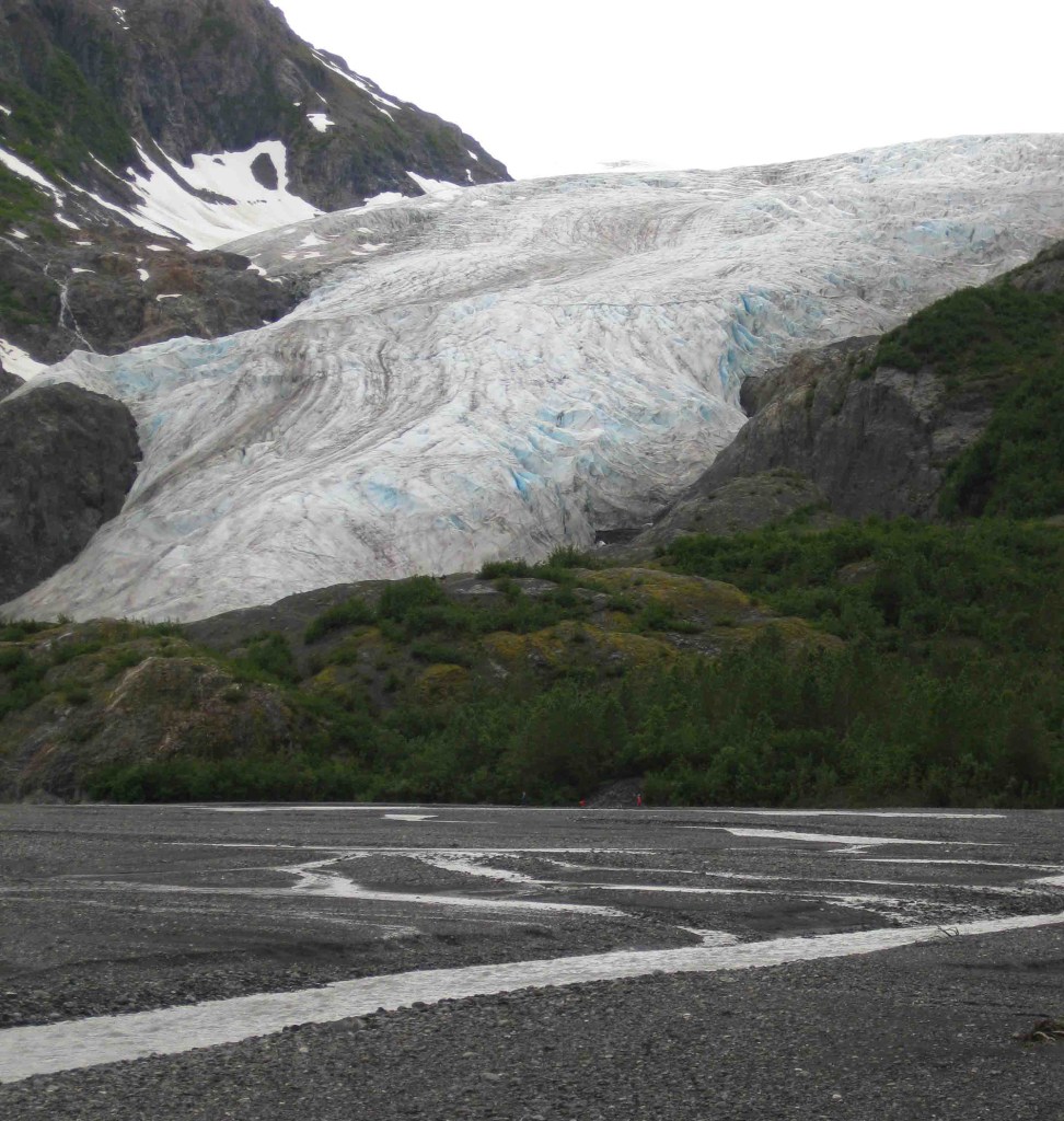
It is a short and worthwhile hike from the parking lot to the face of the rapidly receding Exit Glacier; black bears are common in the area, so keep an eye out for them.  You can continue hiking the steep 3.7-mile one-way trail up to 3,500 feet to view the expansive Harding Ice Field, but that requires at least four hours, serious endurance, and gear for the winter conditions that persist year round at that elevation.

Instagram-worthy Photo

Bundle up as it gets chilly when you pull up close to the actively calving Aialik Glacier.  You will be tempted to try capturing it all on your camera, but take some time to experience the action with your eyes, not through a viewfinder. 

Peak Season

Summer

Hours

https://www.nps.gov/kefj/planyourvisit/hours.htm

Fees

None at Exit Glacier; boat tours cost about $200 per person

Road Conditions

The roads to Exit Glacier and Seward, Alaska are paved.

Camping

Two public-use cabins are available for rent in the summer and only accessible by water.  A free 12-site, walk-in tent campground is available at Exit Glacier, plus a winter-use cabin.  There are multiple RV parks in Seward, Alaska, a beautiful place to spend a few days fishing and visiting the Alaska SeaLife Center (recommended to do before your boat tour of Kenai Fjords National Park).

Related Sites

Glacier Bay National Park and Preserve (Alaska)

Lake Clark National Park and Preserve (Alaska)

Wrangell-St. Elias National Park and Preserve (Alaska)

This design we created to celebrate Kenai Fjords National Park is available on a variety of products at Cafe Press and Amazon.

Explore More – Who is Rockwell Kent and what is his connection with Resurrection Bay (hint: check out our Top 10 list of Alaska non-fiction books)?

Know someone who loves National Parks? Gift them our travel guide A Park to Yourself: Finding Solitude in America’s 63 National Parks.