Tag Archives: boating

Ross Lake National Recreation Area

Overview

Bisecting the two sections of North Cascades National Park in northern Washington is Ross Lake National Recreation Area.  The incredibly scenic Highway 20 (closed seasonally) cuts through the mountains here, less than two hours from Seattle.  The rainshadow effect is readily apparent to anyone who crosses these mountains from the lush west to the arid eastern portion of the state.  Access to the only boat ramp on Ross Lake actually requires a drive through Canada, but you can also pick up a water taxi near Diablo Dam.
Highlights

Diablo Lake Overlook, Gorge Creek Falls, Ross Lake Resort, Sourdough Mountain Trail

Must-Do Activity

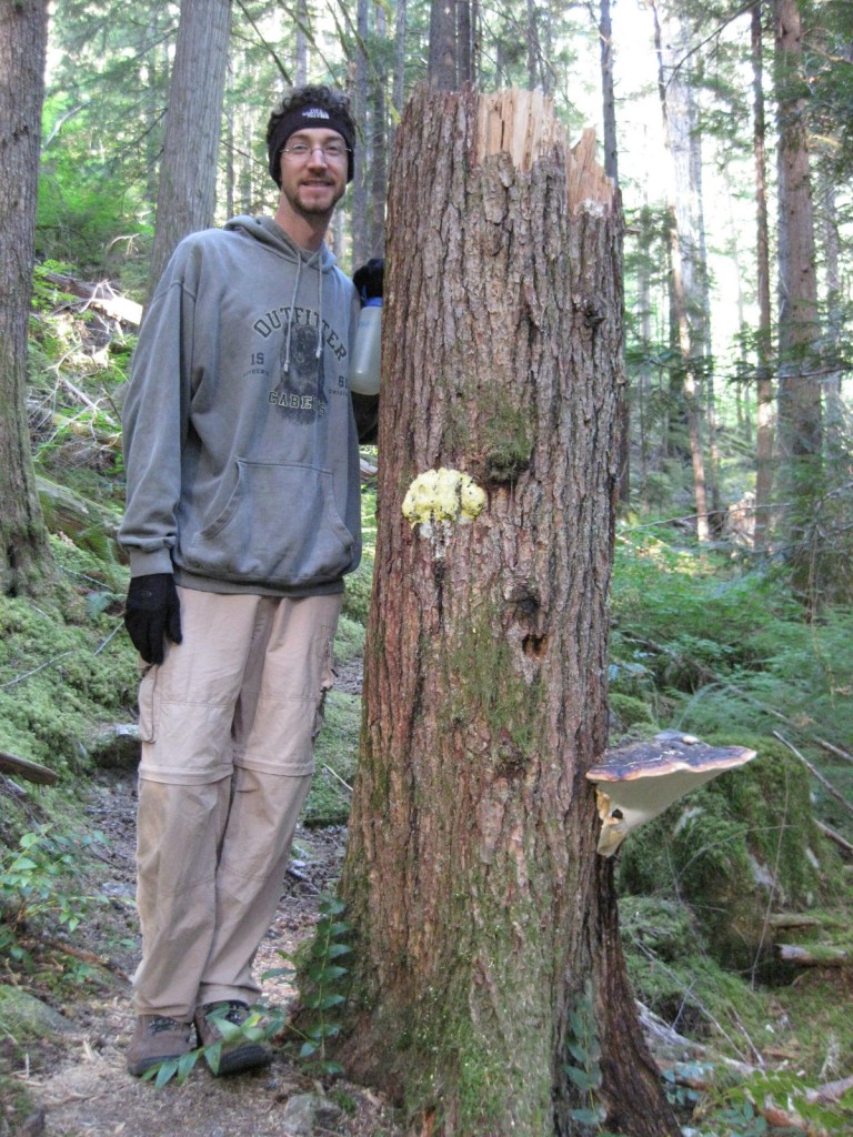
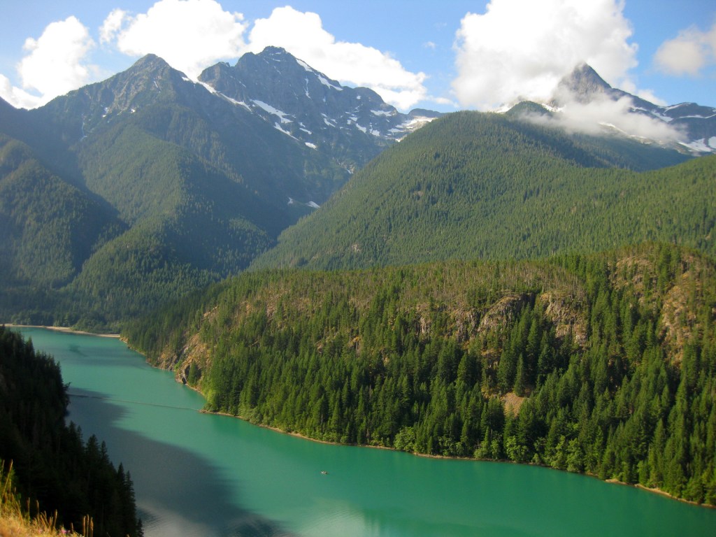
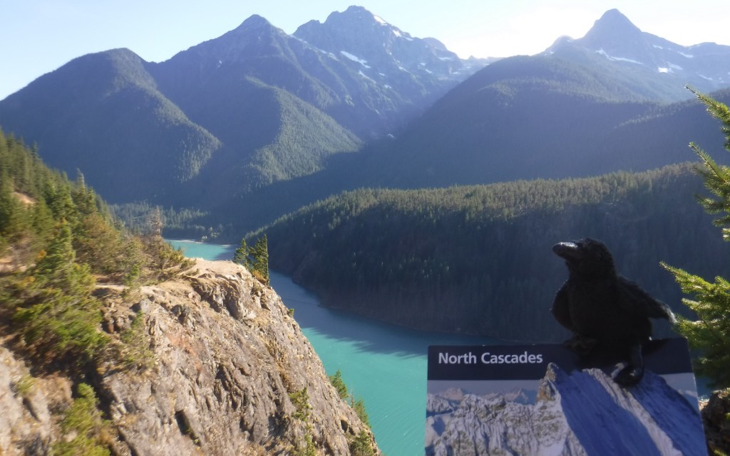
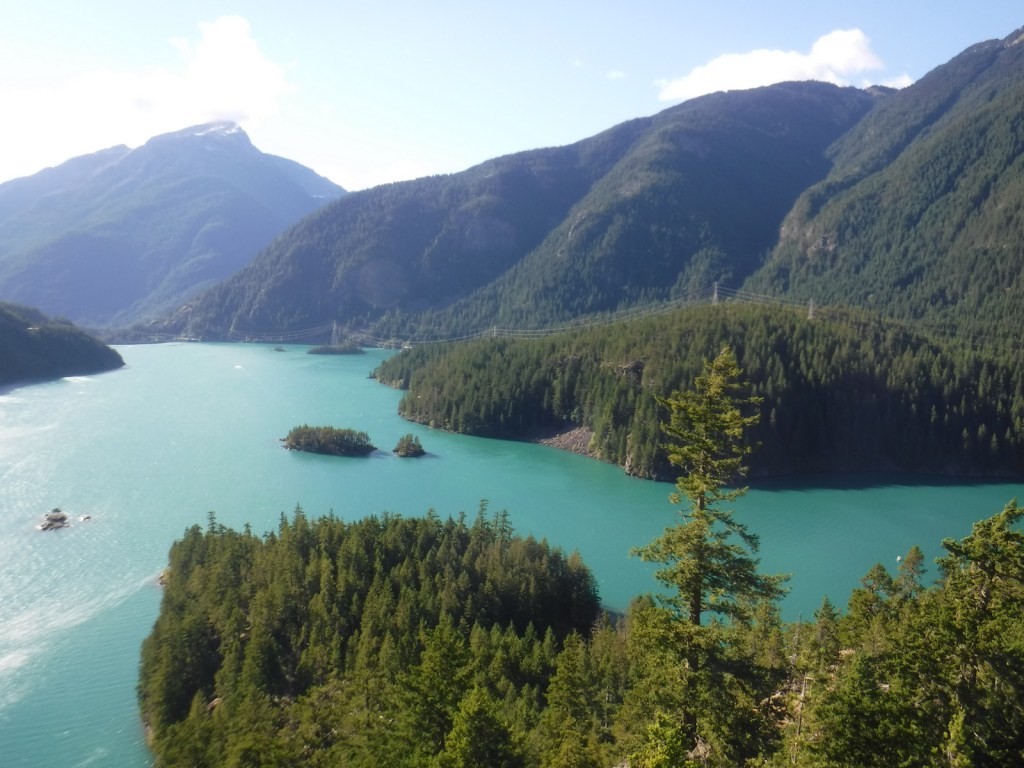
If coming from Seattle, start your visit at the North Cascades National Park Visitor Center on the scenic North Cascades Highway (20).  Ross Lake National Recreation Area contains three hydroelectric reservoirs, which have an interesting turquoise color due to glacial silt, especially evident at Diablo Lake Overlook.  Nearby, Colonial Creek Campground offers a peaceful forest in which to spend the night and a good jumping off place for a day hike on Thunder Creek or Fourth of July Trails through old-growth forests with colossal mushroom conchs and giant banana slugs.

Best Trail

Summiting Desolation Peak is often found on the bucket lists of the writer Jack Kerouac’s biggest fans, as he did some of his best writing while stationed as a fire lookout here in 1956.  The observation tower is not far from the Canadian border and the trek is a daunting task, typically utilizing a water taxi to cross Ross Lake.

Instagram-worthy Photo

Do not drive past Diablo Lake Overlook, an awe inspiring and usually gusty stop along Highway 20.  The craggy heights of the geologically young mountains surrounding this spectacular reservoir are magnificent to behold, yet forbidding to enter.
Peak Season

Late summer

Hours

https://www.nps.gov/noca/planyourvisit/hours.htm

Fees

None

Road Conditions

The North Cascades Highway (20) is typically closed east of Ross Dam from mid-November through mid-April (or later).  The unpaved road to Thornton Lakes Trailhead is not suitable for trailers.

Camping

Colonial Creek Campground (164 sites) is only one option, additionally there are Newhalem Creek (119 sites), Goodell Creek (22 sites), and Hozomeen (122 sites accessed via a 40-mile gravel road from Hope, British Columbia).  For the full backcountry experience, pick up a free backpacking permit at the Wilderness Information Center in Marblemount, Washington.

Related Sites

Lake Chelan National Recreation Area (Washington)

Lake Roosevelt National Recreation Area (Washington)

Klondike Gold Rush National Historical Park (Alaska-Washington)

Explore More – Only two miles across at its widest point, how long is Ross Lake?
St. Croix National Scenic Riverway

Overview

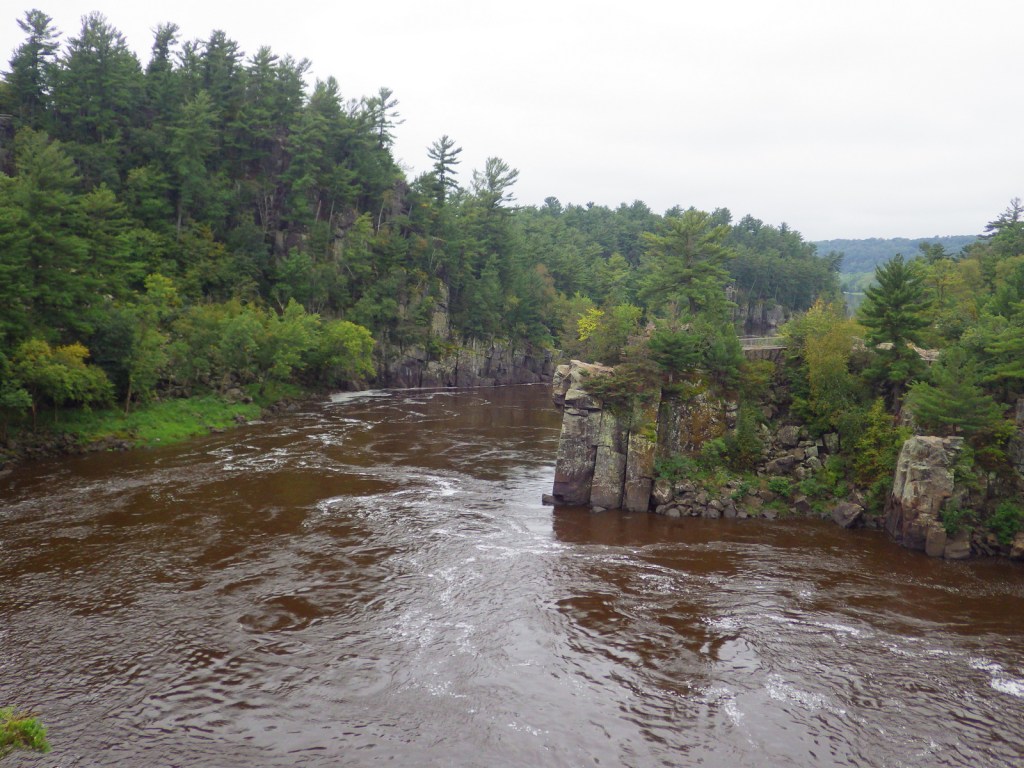
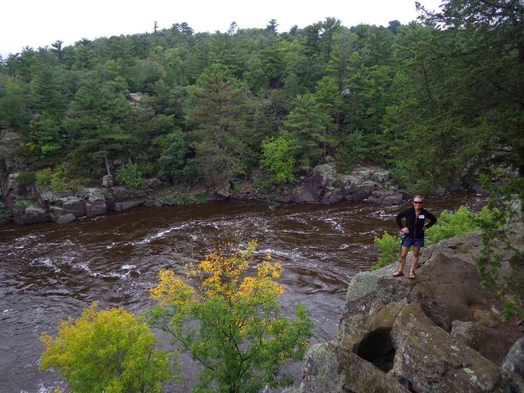
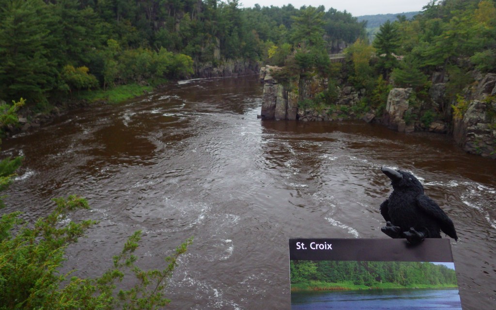
Since 1972, about 255 miles of the St. Croix and Namekagon Rivers have been protected along the Minnesota-Wisconsin border.  It is a popular route for paddlers and tube floaters, in addition to providing invaluable habitat for a variety of wildlife, including beavers, great blue herons, and 40 species of native mussels.  There are a few dams along the rivers and regulations vary by who manages different sections, so it is important to know the rules before you launch your boat.

Highlights

Trego Nature Trail, Sandrock Cliffs, Interstate State Parks

Must-Do Activity

There is a long scenic byway that follows the St. Croix River north from its confluence with the Mississippi River (south of Minneapolis) near the Great River Road Visitor Center in Prescott, Wisconsin.  The National Park Service (NPS) manages the seasonal Namekagon River Visitor Center on a stretch of water that is good for floating.  If you do not have a boat, just down the road try the 2.8-mile roundtrip Trego Nature Trail that follows the Namekagon River through a forest of white pine, bigtooth aspen, and paper birch trees.

Best Trail

Wisconsin Interstate State Park is located on the St. Croix River and is the western terminus for the partially completed 1,200-mile long Ice Age National Scenic Trail.

Instagram-worthy Photo

Both Minnesota and Wisconsin Interstate State Parks are great places to learn about potholes (up to 15-foot deep bowls carved into solid rock) formed by boulders caught in whirlpools during glacial melting.

Peak Season

Summer

Hours

https://www.nps.gov/sacn/planyourvisit/hours.htm

Fees

None

Road Conditions

All main roads are paved, but some (like the side road to Trego Nature Trail) are good gravel.

Camping

Developed campgrounds can be found in the numerous state parks and state forests along the rivers.  Only designated riverside campsites can be used by those paddling (except in the Stillwater Islands area), but no reservations are accepted.

Related Sites

Mississippi National River and Recreation Area (Minnesota)

Apostle Islands National Lakeshore (Wisconsin)

Voyageurs National Park (Minnesota)

Explore More – A major proponent of creating this park, Senator Gaylord Nelson was born in Clear Lake, Wisconsin and helped pass the Wild and Scenic Rivers Act, as well as founding what annual holiday in 1970?

Mississippi National River and Recreation Area

Overview

The 2,320-mile long Mississippi River is legendary in our nation and well-known worldwide.  Mississippi National River and Recreation Area (NRRA) covers 72 miles of the famous river’s course through Minnesota, from busy metropolitan sections in the Twin Cities to secluded stretches of water.  Along this section it changes from its shallow headwaters to a powerful force at its confluence with the St. Croix River.  Established in 1988, the National Park Service (NPS) owns only 35 acres of the 54,000 acres protected within the NRRA.

Highlights

St. Anthony Falls, Minnehaha Falls, Coldwater Spring, Indian Mounds Park, Mississippi Gorge Regional Park

Must-Do Activity

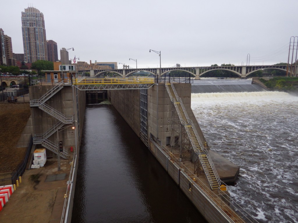
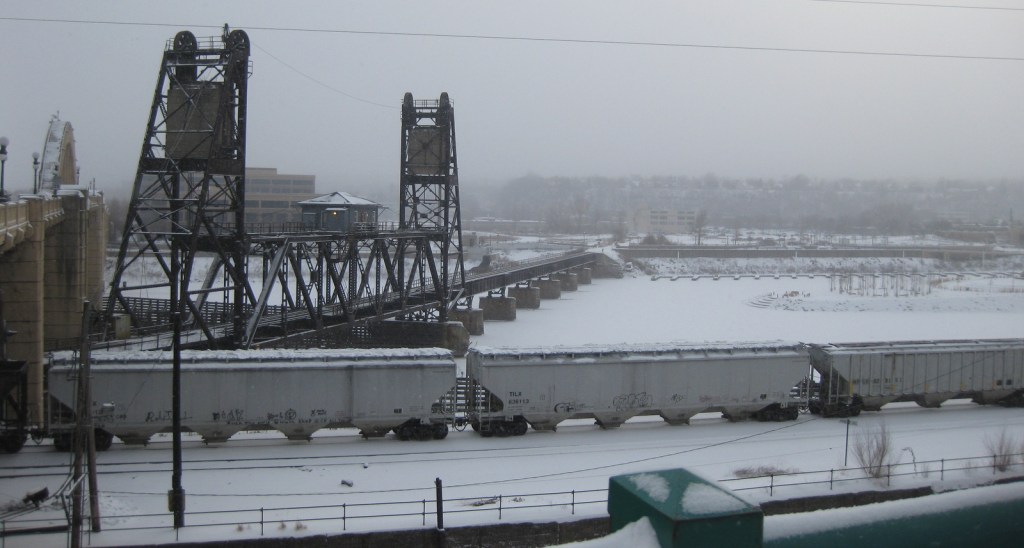
Near downtown Minneapolis is St. Anthony Falls, the only true waterfall on the Mississippi River’s entire length.  The falls powered gristmills and sawmills on both banks that drove the settlement of Minneapolis-St. Paul.  Opportunities for walking, biking, boating, fishing, cross-country skiing, and wildlife watching (especially at Minnesota Valley National Wildlife Refuge) abound along the river depending upon the season.

Best Trail

In winter, urban trails along the Mississippi River are very pretty under a layer of white snow, and it can be very quiet and peaceful.

Instagram-worthy Photo

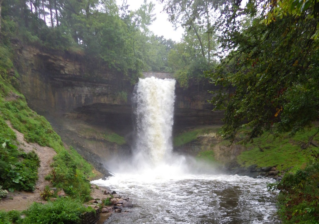
We enjoyed Minnehaha Regional Park where we found the 53-foot tall waterfall celebrated in Henry Wadsworth Longfellow’s Song of Hiawatha.

Peak Season

Summer

Hours

https://www.nps.gov/miss/planyourvisit/hours.htm

Fees

None

Road Conditions

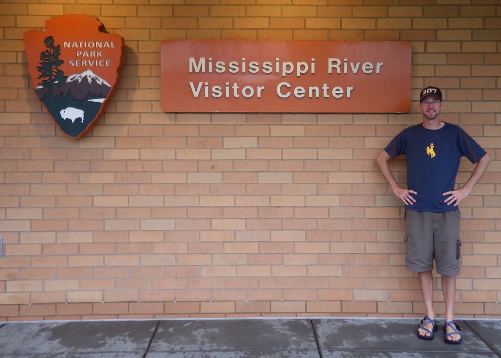
All roads paved, but there is no free parking available at the NPS visitor center located inside the lobby for the Science Museum of Minnesota.

Camping

There are no campgrounds managed by the National Park Service within the NRRA, however, there are many places to camp in the area.

Related Sites

Saint Croix National Scenic Riverway (Minnesota-Wisconsin)

Missouri National Recreational River (Nebraska-South Dakota)

Pipestone National Monument (Minnesota)

Explore More – What did the city of Minneapolis do to make sure Minnehaha Falls was flowing for President Lyndon B. Johnson’s visit during the 1964 drought?

Chattahoochee River National Recreation Area

Overview

Similar to the other National Park Service (NPS) sites in the Atlanta, Georgia metropolitan area (see Related Sites below), visiting Chattahoochee River National Recreation Area requires navigating many suburban streets.  Established in 1978, this park is a combination of government jurisdictions and private land that protects 48 miles of the Chattahoochee River downstream from Lake Sidney Lanier northeast of the city.  Due to its lack of large rapids it is popular with canoers, although a release from Buford Dam can lead to a quick rise in river levels and the water is typically a chilly 44° to 58°F.

Highlights

Hewlett Lodge, Vickery Creek, Cochran Shoals, Sope Creek mountain bike trail

Must-Do Activity

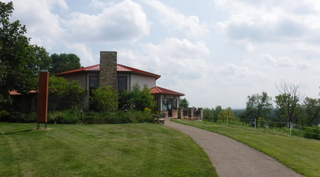
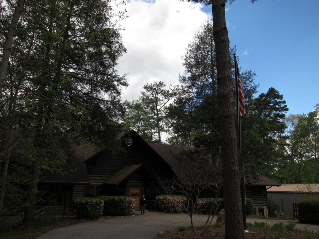
A good place to start your visit is the NPS headquarters at Island Ford, which is housed in Hewlett Lodge, a beautiful Adirondack-style mansion built in the 1930s.  There you can get information about hiking, canoeing, and fishing within the National Recreation Area.  You can also walk down to the river’s edge to watch boaters and wildlife from shore.  Not far away in Roswell, Georgia, a short creekside trail leads to the ruins of a textile mill and a dam.

Best Trail

Most sections of the park have some type of hiking trail and there is a wetlands boardwalk within the Cochran Shoals unit.

Instagram-worthy Photo

The covered walking bridge is quite photogenic at the old mill in Roswell, Georgia.

Peak Season

Summer (although we have heard from an Alan Jackson song that it can get “hotter than a hootchie cootchie”)

Hours

https://www.nps.gov/chat/planyourvisit/hours.htm

Fees

Parking fee of $5 per day or America the Beautiful pass

Road Conditions

All roads paved

Camping

No camping is allowed along the river.  The U.S. Corps of Engineers manages campgrounds on Lake Sidney Lanier at the northeastern end of Chattahoochee River National Recreation Area.

Related Sites

Kennesaw Mountain National Battlefield Park (Georgia)

Martin Luther King, Jr. National Historical Park (Georgia)

Ocmulgee Mounds National Historical Park (Georgia)

Explore More – How long is the Chattahoochee River from its mountain headwaters to its confluence with the Flint River at Lake Seminole?

Glacier National Park

Overview

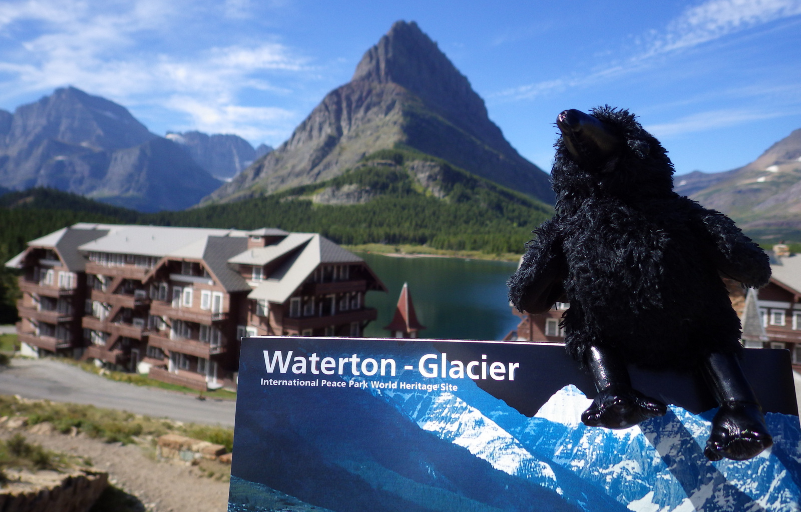
Officially, since 1932 this American-Canadian natural reserve has been called Waterton-Glacier International Peace Park.  We will focus on the U.S. side since you still need a passport to cross the border (when it is open).  The million-acre Glacier National Park was established in 1910 as a tourist destination and to protect its wildlife, including grizzly/brown bears.  It is open year round, but sees more than half its visitors in July and August.

Learn more in our guidebook to the National Parks, A Park to Yourself: Finding Adventure in America’s National Parks (available on Amazon).

Highlights

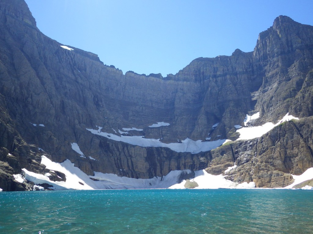
Going-to-the-Sun Road, St. Mary Lake, Logan Pass, Many Glacier Hotel, Iceberg Lake

Must-Do Activity

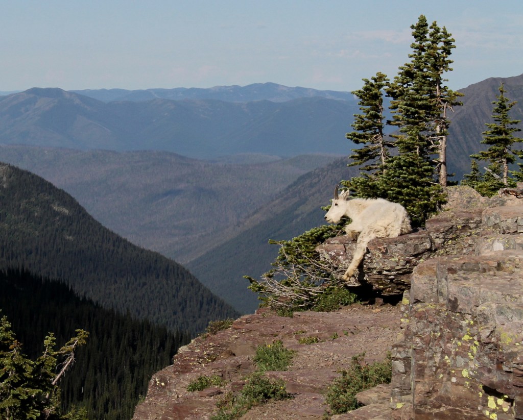
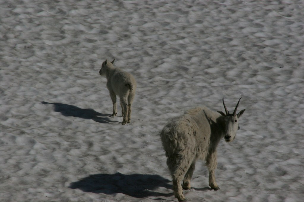
The world renowned Going-to-the-Sun Road was built to cross the park from east to west in the 1920s.  At its highest point (6,646-foot Logan Pass), the road crosses the Continental Divide, an imaginary line where a raindrop drains all the way into the Atlantic Ocean on one side and into the Pacific Ocean on the other.  Hidden Lake Overlook near the Logan Pass Visitor Center is known for sightings of mountain goats, bighorn sheep, and hoary marmots.

Best Trail

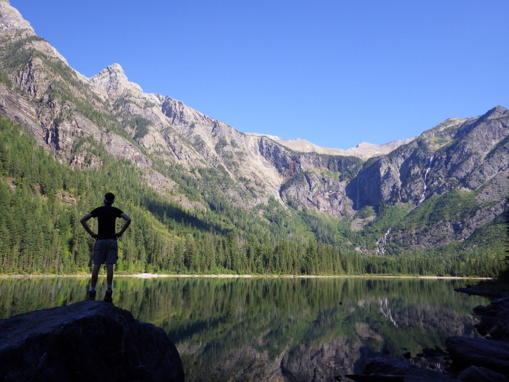
Avalanche Lake is located at the end of a two-mile one-way hike from the famous Going-to-the-Sun Road.  We spotted a grizzly/brown bear on the way back from our hike there.

Instagram-worthy Photo

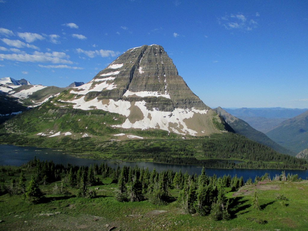
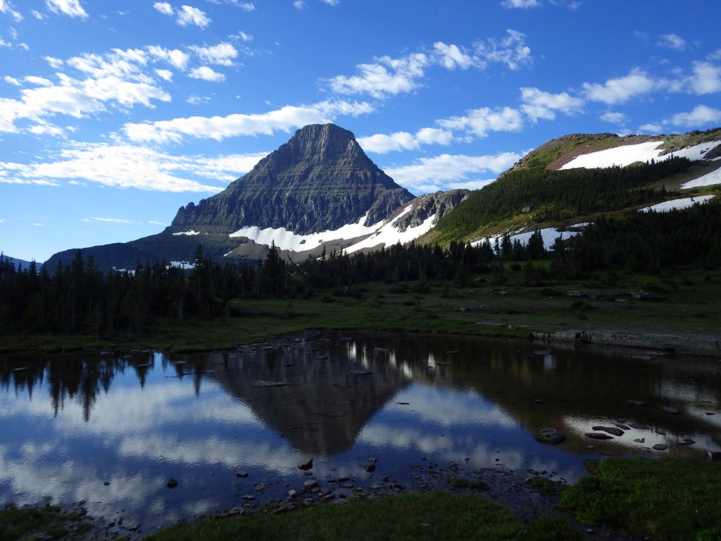
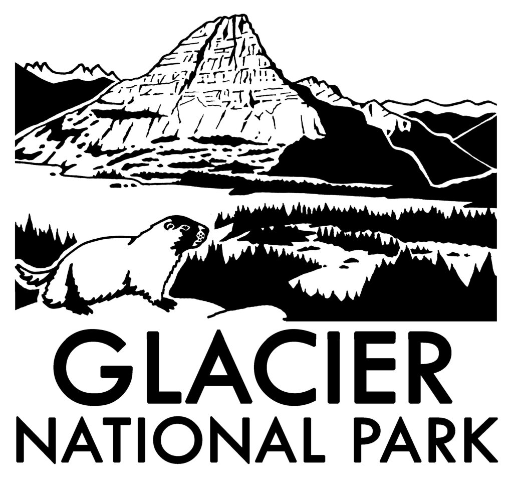
Hidden Lake often reflects the image of Bearhat Mountain, which is why we chose it as our logo design for Glacier National Park (see below).

Peak Season

Summer

Hours

https://www.nps.gov/glac/planyourvisit/hours.htm

Fees

$35 per vehicle or America the Beautiful pass

Road Conditions

Vehicles over 21 feet in length or eight feet in width are prohibited in the middle sections of Going-to-the-Sun Road.  Good dirt roads lead to campgrounds at Bowman Lake and Kintla Lake on the west side of the park.

Camping

St. Mary and Fish Creek Campgrounds accept reservations and several others are available on a first-come, first-served basis.

Related Sites

Yellowstone National Park (Wyoming-Montana-Idaho)

Grant-Kohrs Ranch National Historic Site (Montana)

Big Hole National Battlefield (Montana)

This design we created to celebrate Glacier National Park is available on a variety of products at Cafe Press and Amazon.

Explore More – When were the iconic “red jammer” buses first introduced to the park?

We are a participant in the Amazon Services LLC Associates Program, an affiliate advertising program designed to provide a means for us to earn fees by linking to Amazon.com and affiliated sites.