Overview
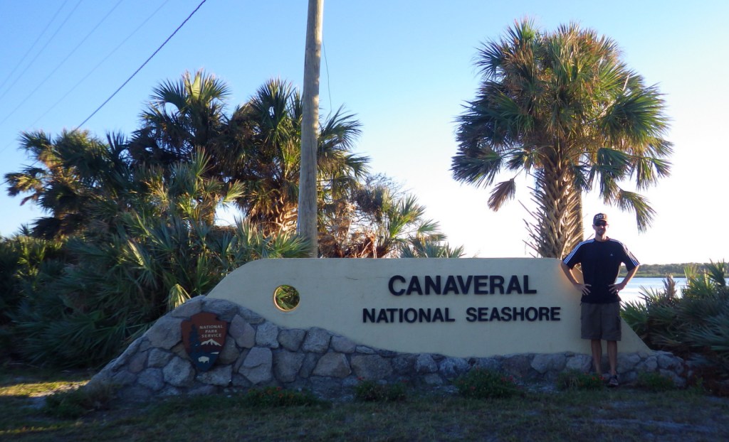
When NASA (National Aeronautics and Space Administration) prevented this portion of Florida coast from development in the 1950s, surely they did not imagine it would soon become one of the last long stretches of wild coastline left on the Atlantic seaboard. The area north of John F. Kennedy Space Center was set aside as Canaveral National Seashore (in 1975) and Merritt Island National Wildlife Refuge (in 1963).

Highlights
Eldora State House, shell mounds, wildlife, fishing, kayaking, beaches
Must-Do Activity
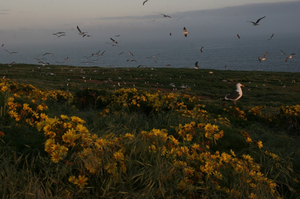
About 310 avian species have been spotted in Merritt Island National Wildlife Refuge. Other than birds, we were excited to see our first living armadillo and manatee outside of a zoo. Despite its unappealing name, Mosquito Lagoon is a nice spot for fishing and paddling. We hope someday to return to witness a rocket launch from John F. Kennedy Space Center.
Best Trail
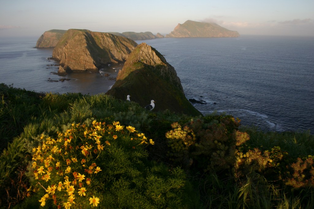
Human activity in Canaveral National Seashore is evident in Timucuan shell mounds that date back thousands of years, with a separate trail to Eldora State House preserving more recent history. At the southern end of the park in Merritt Island National Wildlife Refuge, you will find Oak and Palm Hammock Trails, as well as Cruickshank Trail that leads to an observation tower.
Instagram-worthy Photo
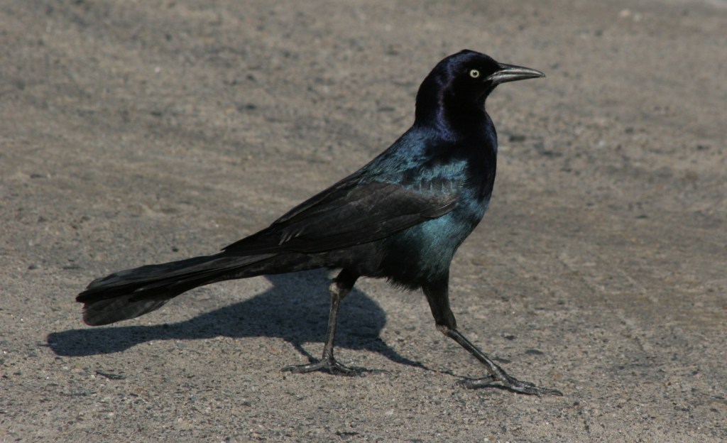
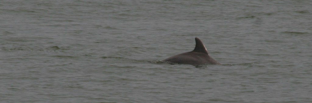
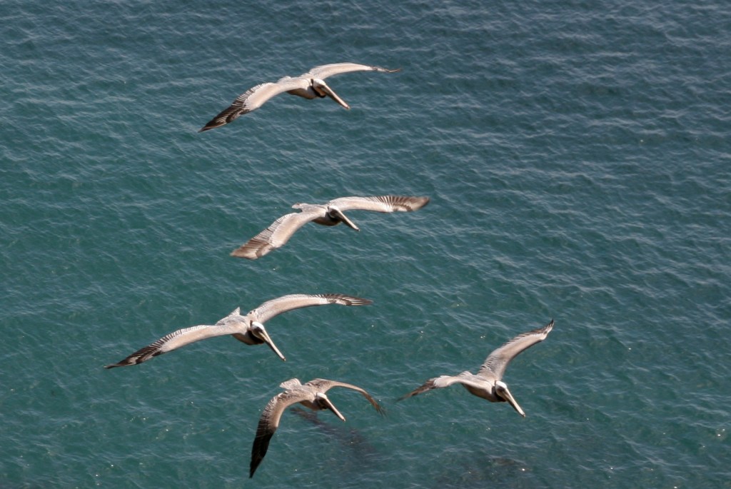
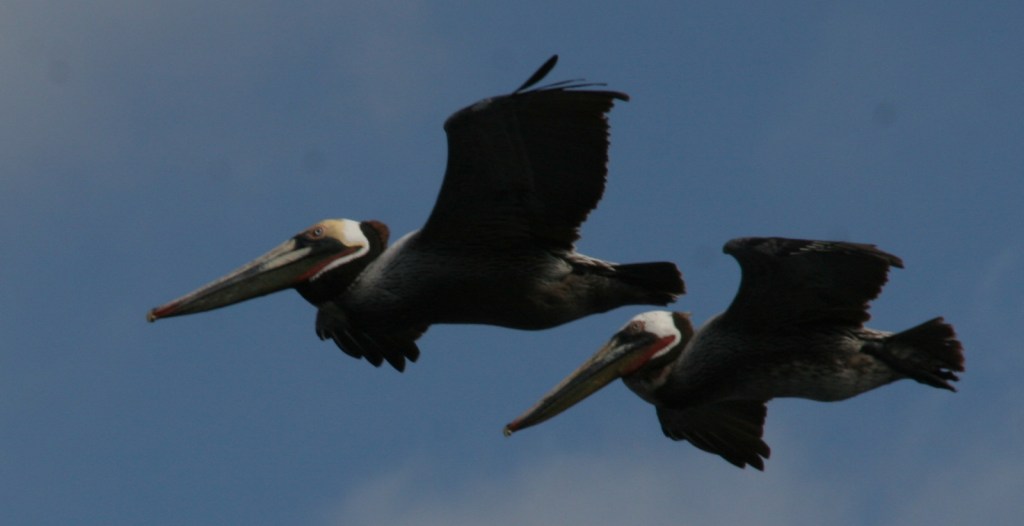
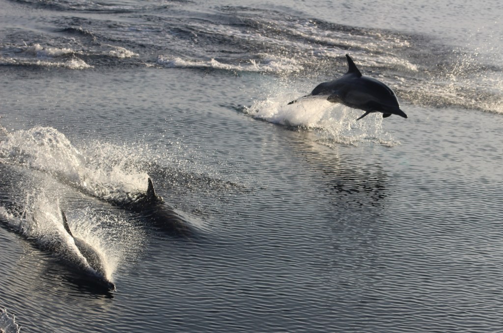
The park ranger told us the most likely place to see a West Indian manatee was at the boat launch in New Smyrna Beach, Florida just north of the park boundary. There were also dolphins, great blue herons, anhingas, great egrets, ospreys, brown pelicans, and royal terns.

Peak Season
Summer
Hours
https://www.nps.gov/cana/planyourvisit/hours.htm
Fees
$20 per vehicle day use or America the Beautiful pass
Road Conditions
The main access roads are paved, but the six-mile Black Point Wildlife Drive and some boat launches are not. Unlike at other National Seashores, there is no driving on the beach allowed, but you can bicycle or walk to remote Klondike Beach.
Camping
Inside the park boundaries there are no campgrounds, but backcountry camping is allowed with a permit.
Related Sites
Castillo de San Marcos National Monument (Florida)
Cumberland Island National Seashore (Georgia)
Fort Caroline National Memorial (Florida)

Our first ever nine-banded armadillo sighting 
This boardwalk got hit by Hurricane Matthew in 2016 
This osprey is not going to share his fish 
Scott on Apollo Beach 
We found sea turtle eggs on the beach 
Tiff beneath a live oak tree 
Great egret in flight 
Scott on the porch of Eldora State House 
Eldora State House 
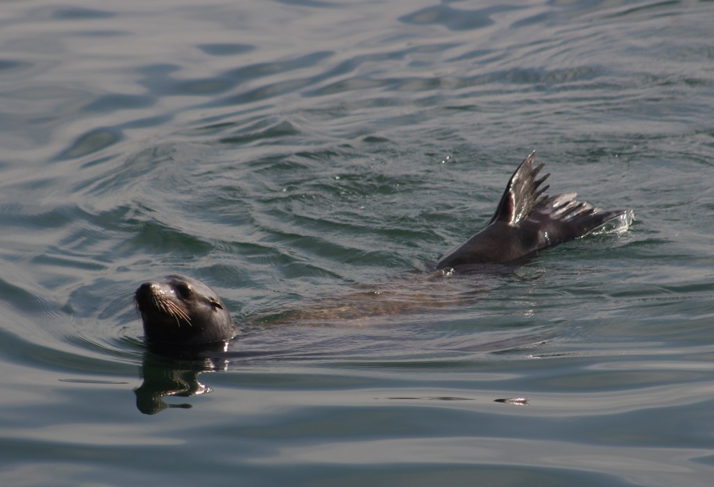
Dolphin 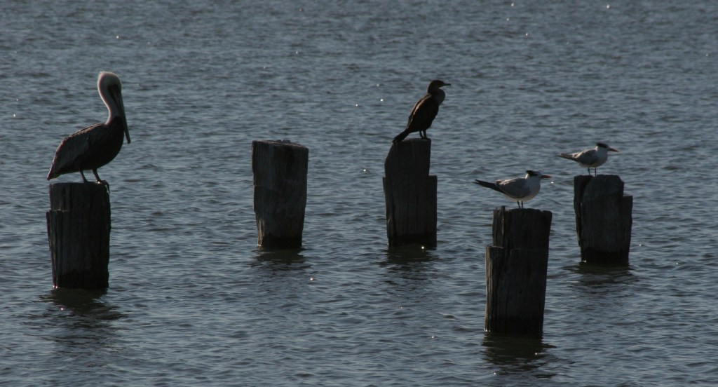
Brown pelican, anhinga, and two royal terns 
Kennedy Space Center as seen on the tram tour
Explore More – What did engineers build in the 1950s to limit the breeding area for saltmarsh mosquitoes?