Wyoming, Montana, Idaho
Managed by National Park Service
Established 1872
2,221,766 acres
Website: nps.gov/yell
Overview
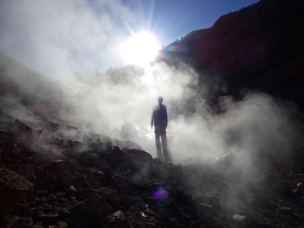
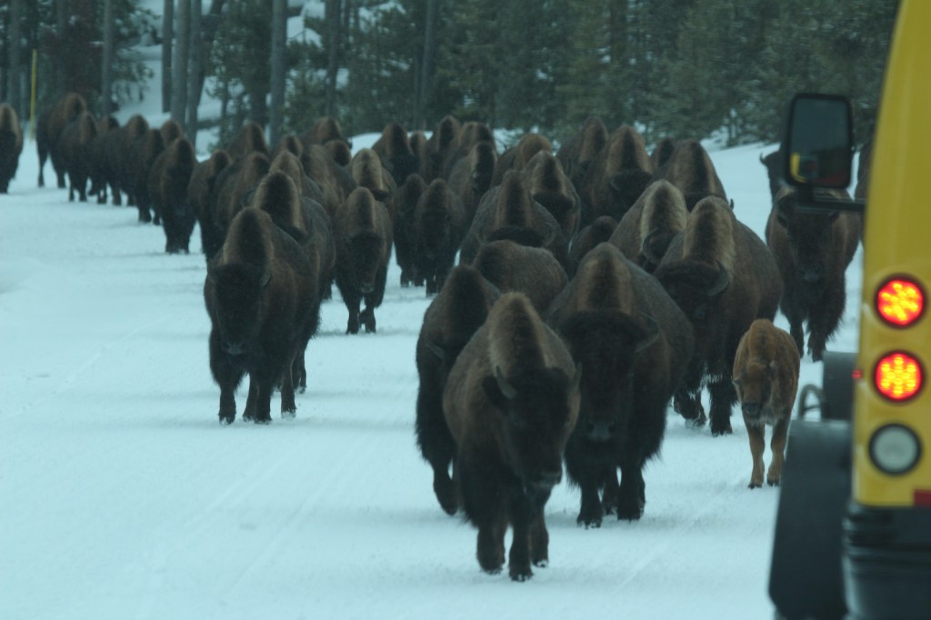
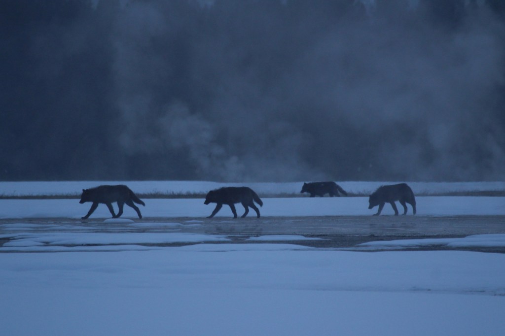
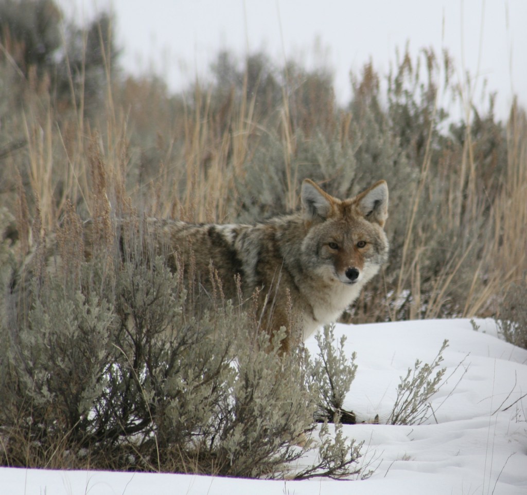
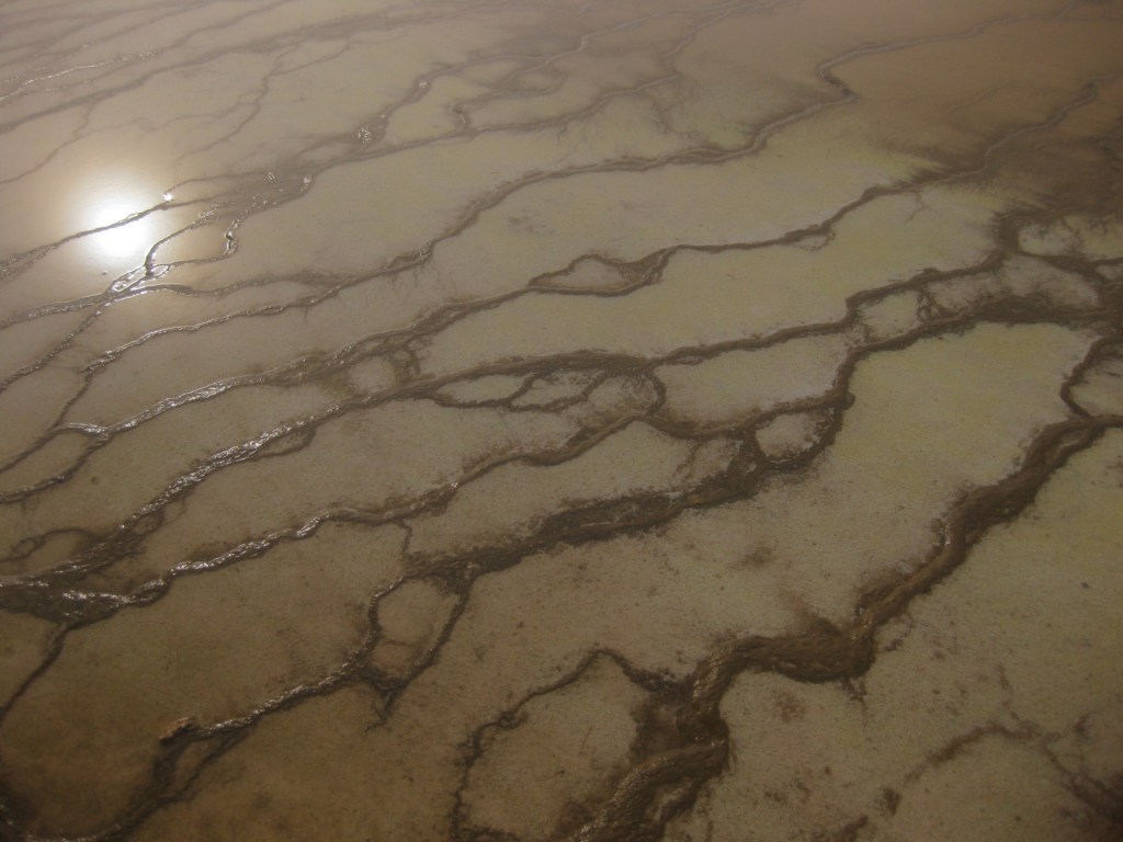
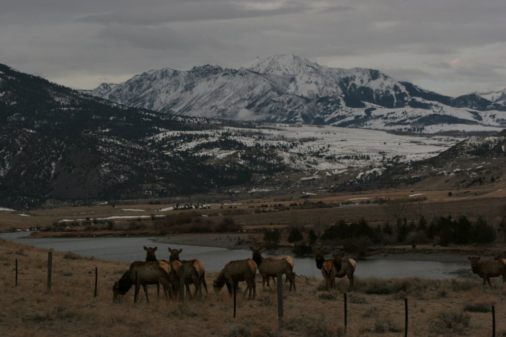
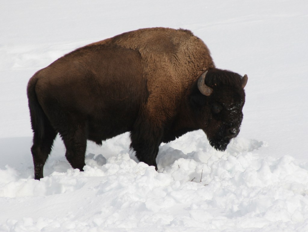
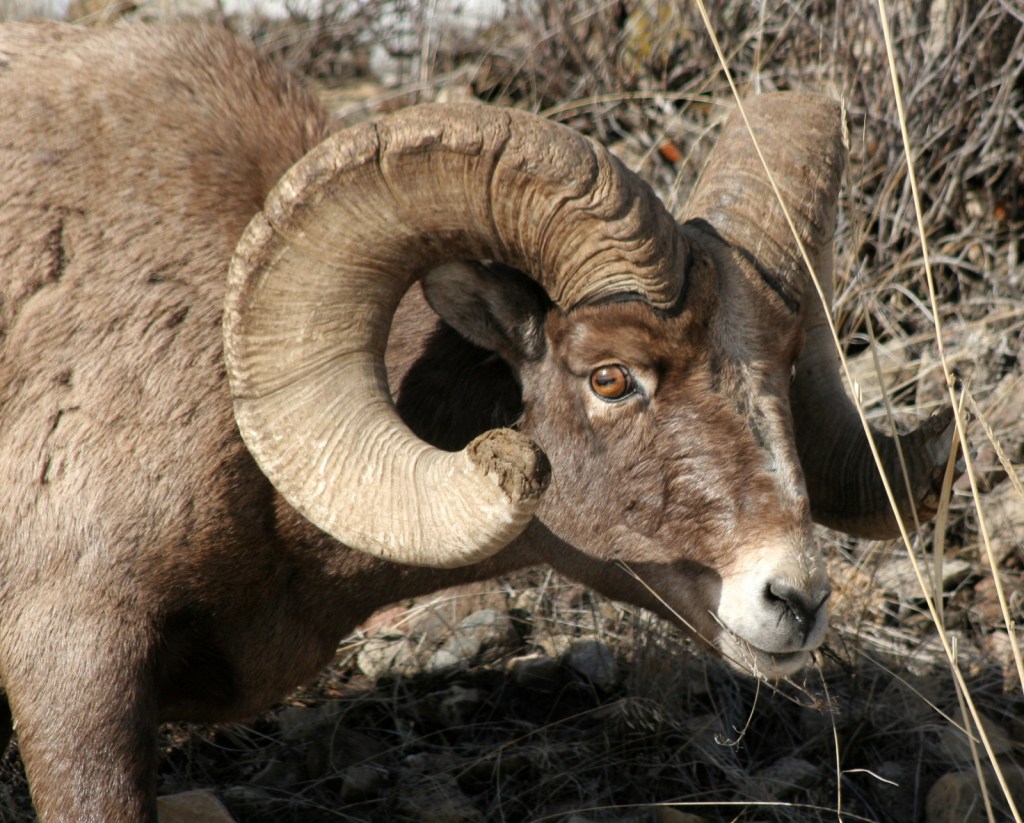
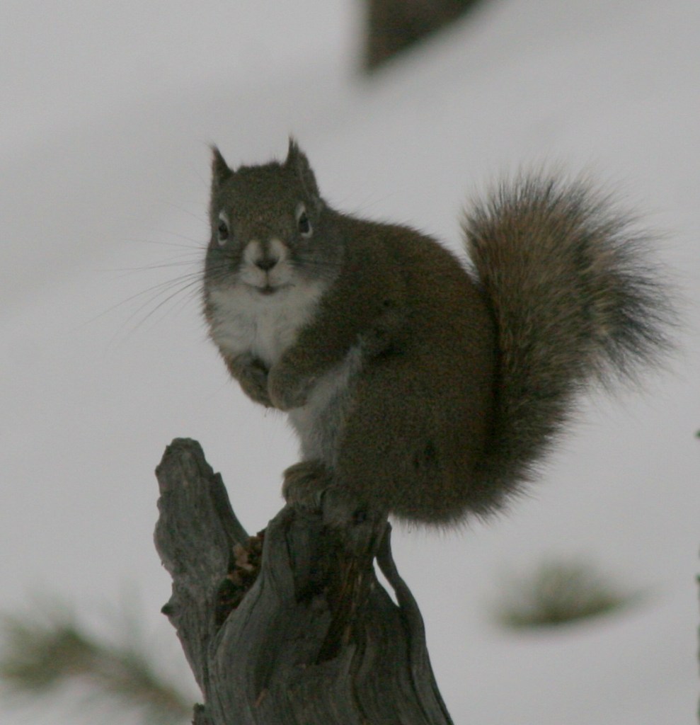
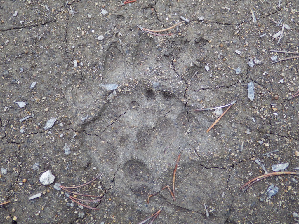
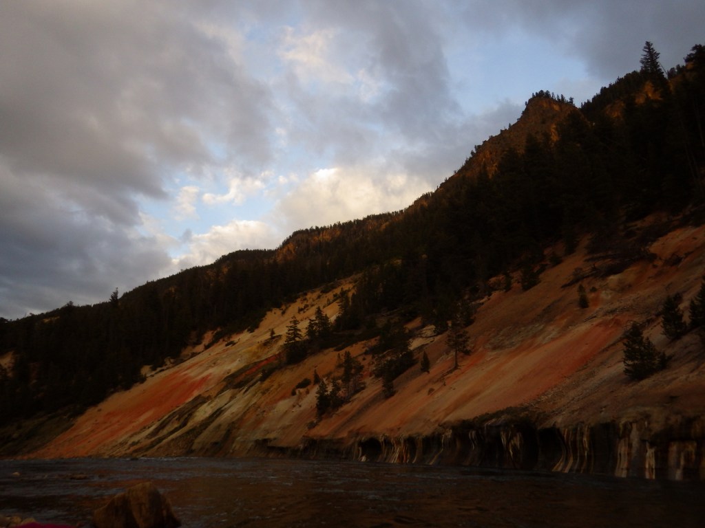
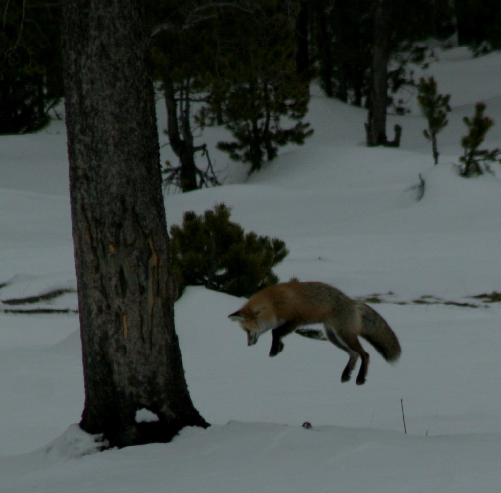
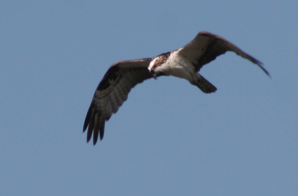
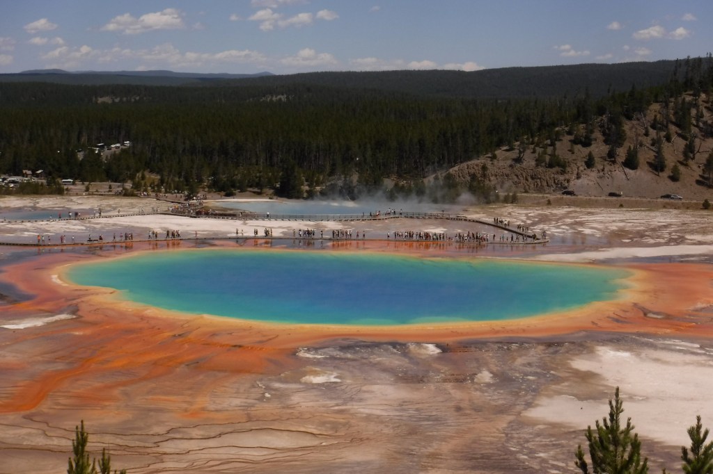
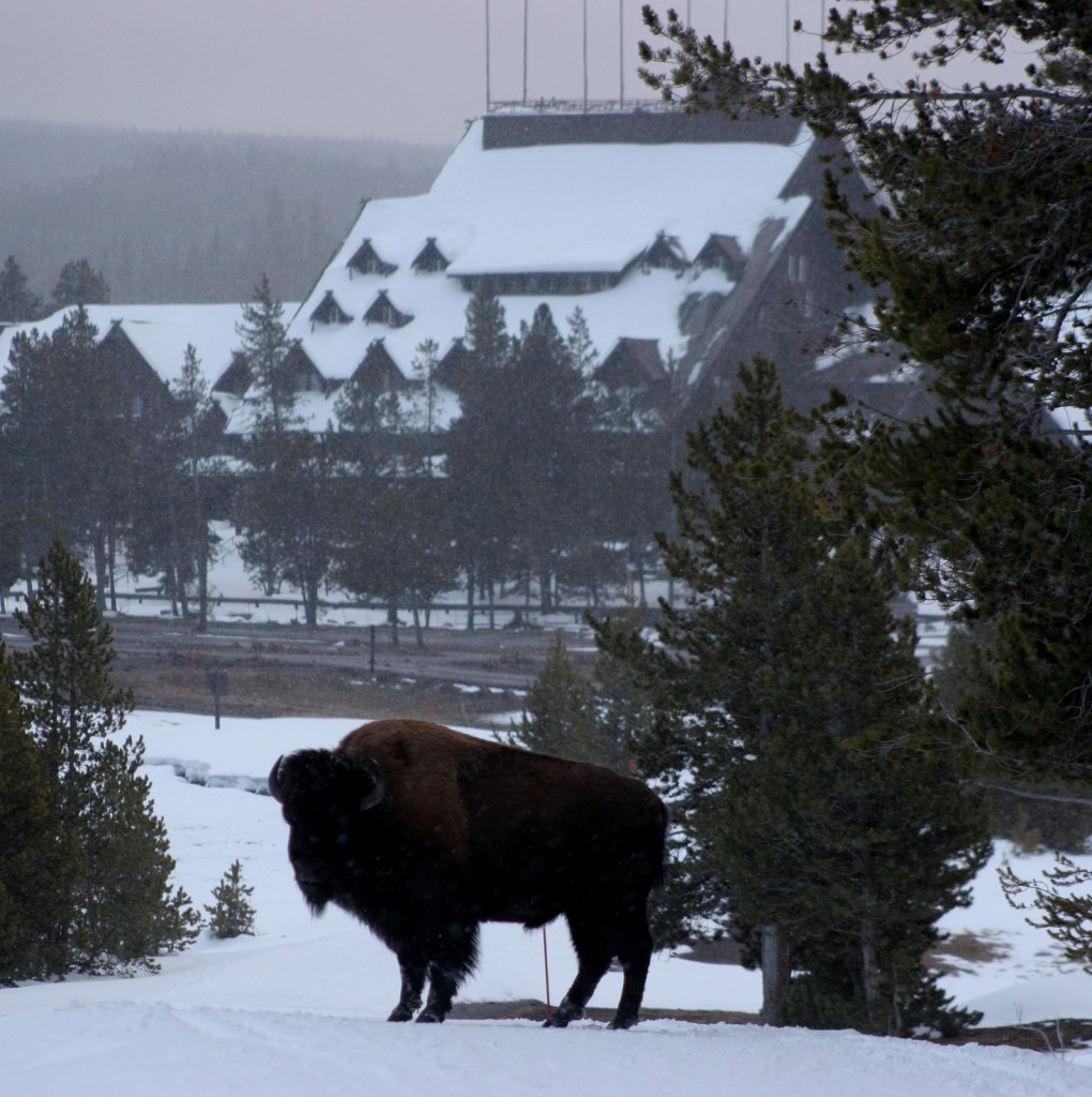
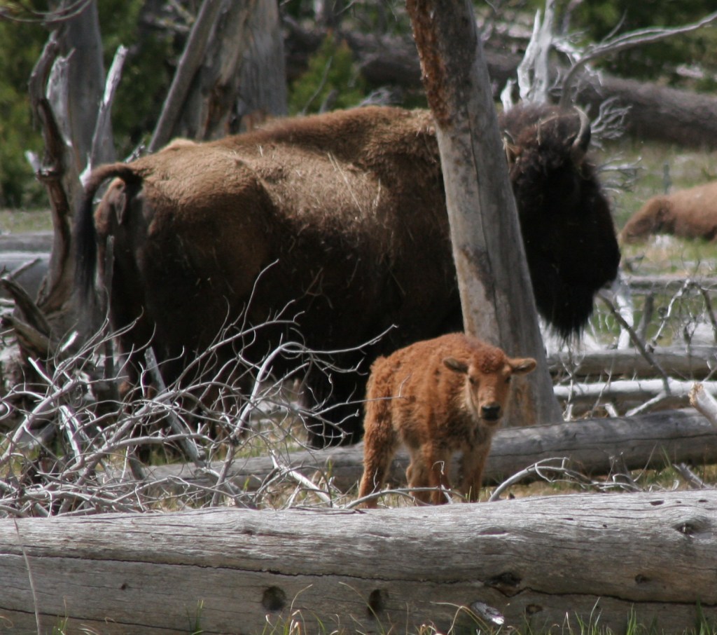
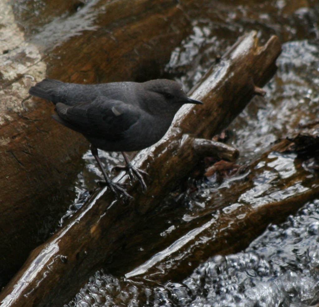
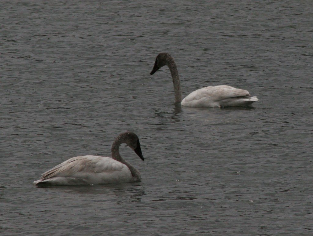
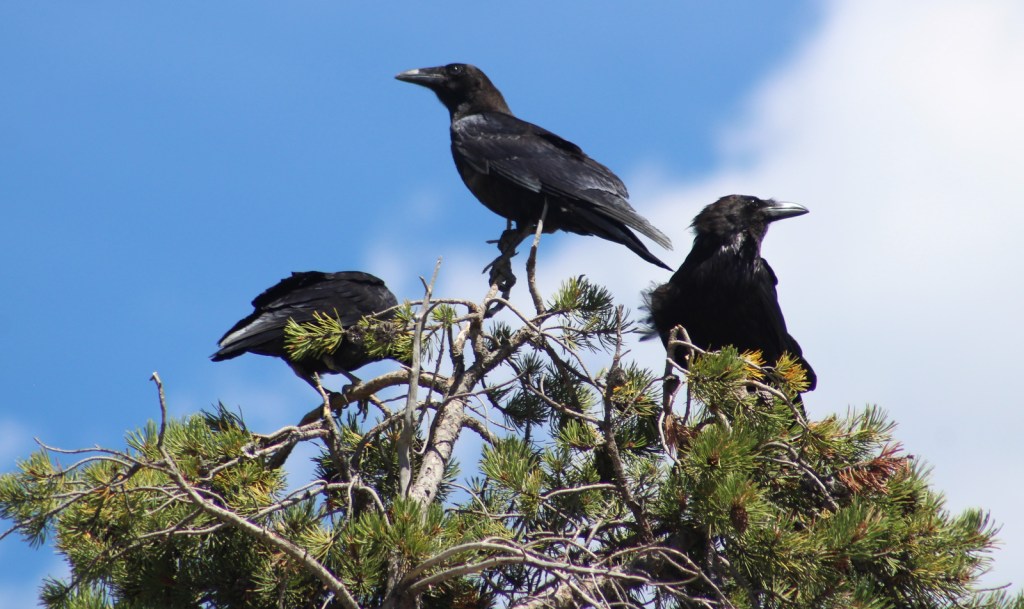
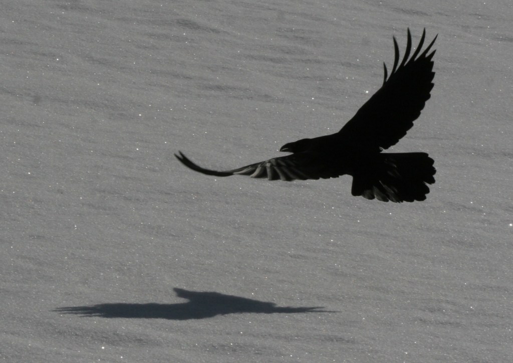
The geothermal features here inspired the creation of the world’s first official “National Park” in 1872. Most of Yellowstone is actually a supervolcano where the magma heats up underground water producing 10,000 hot springs, fumaroles, and mudpots on the surface, as well as 300 geysers. Incredibly, over 50% of the geysers in the world occur within this one park, which is equally famous for its wildlife diversity, including grizzly bears, bison, gray wolves, and elk.
Learn more about how to visit this National Park in the expanded second edition of our guidebook A Park to Yourself: Finding Solitude in America’s 63 National Parks.

Highlights
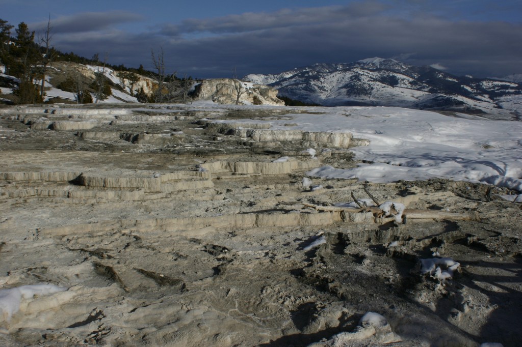
Old Faithful geyser, Grand Prismatic Spring, Norris Geyser Basin, Mammoth Hot Springs, Grand Canyon of the Yellowstone, countless waterfalls, wildlife in Lamar Valley, Mt. Washburn, Continental Divide National Scenic Trail
Must-Do Activity
The most famous geyser here is Old Faithful, which can shoot water up to 185 feet in the air. Since the occurrence of several earthquakes it is no longer as consistent as its name suggests, but its eruptions can be accurately predicted every 60 to 110 minutes throughout the day. Arrive early to get a seat or take the trail up the nearby hill to watch it from above. Afterwards, hike the boardwalks through colorful Upper Geyser Basin.
Best Trail
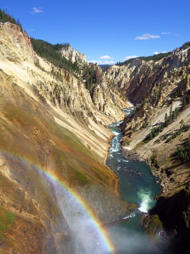
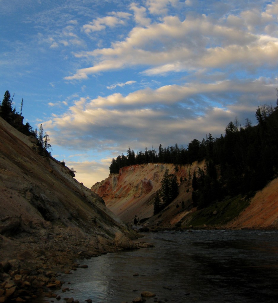
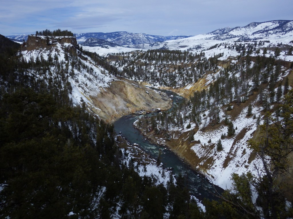
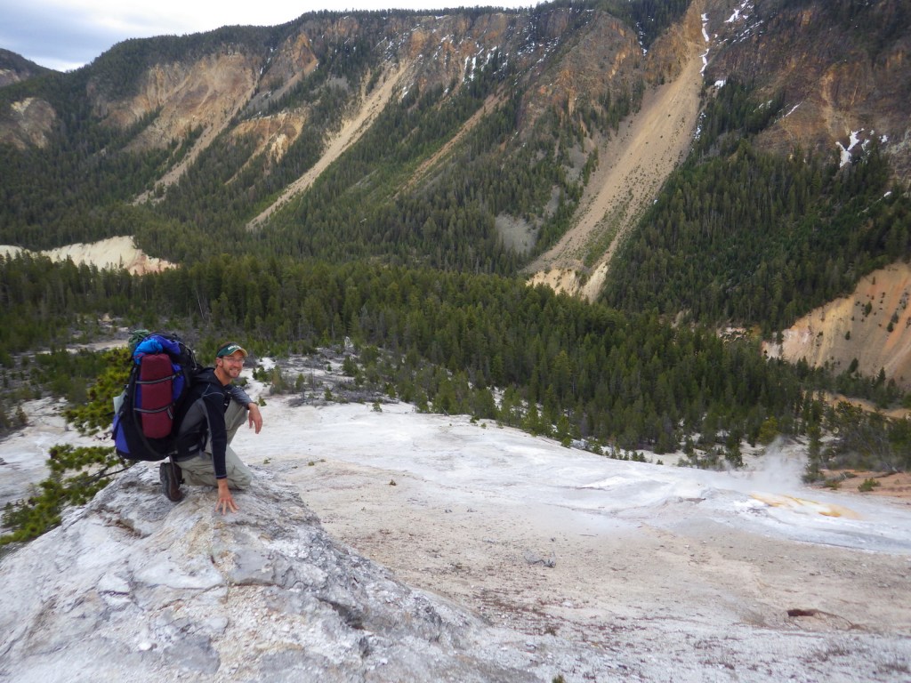
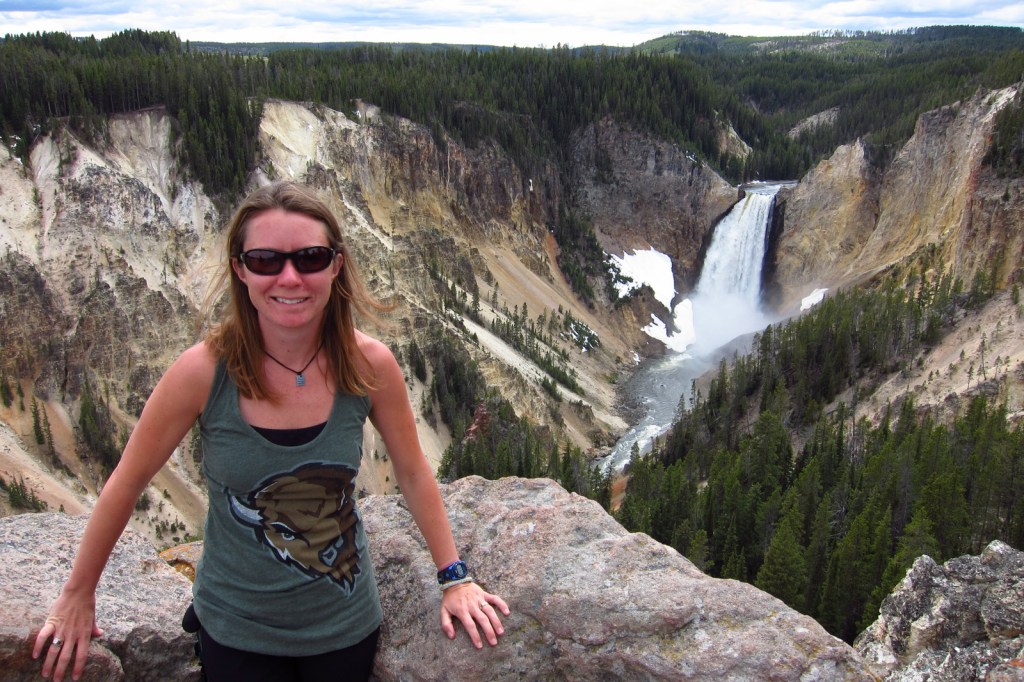
A hike into the Grand Canyon of the Yellowstone on Glacial Boulder Trail is one way to find the solitude lacking at the drive-up overlooks (you should still hike to the Brink of Lower Falls with the crowds). Instead of staying in the packed campgrounds, consider getting a permit to backpack camp in the canyon.
Instagram-worthy Photo
The trail is steep, but paved down to the Brink of Lower Falls on the Yellowstone River for unforgettable view of the canyon, especially on sunny days when a rainbow appears in the spray.
Peak Season
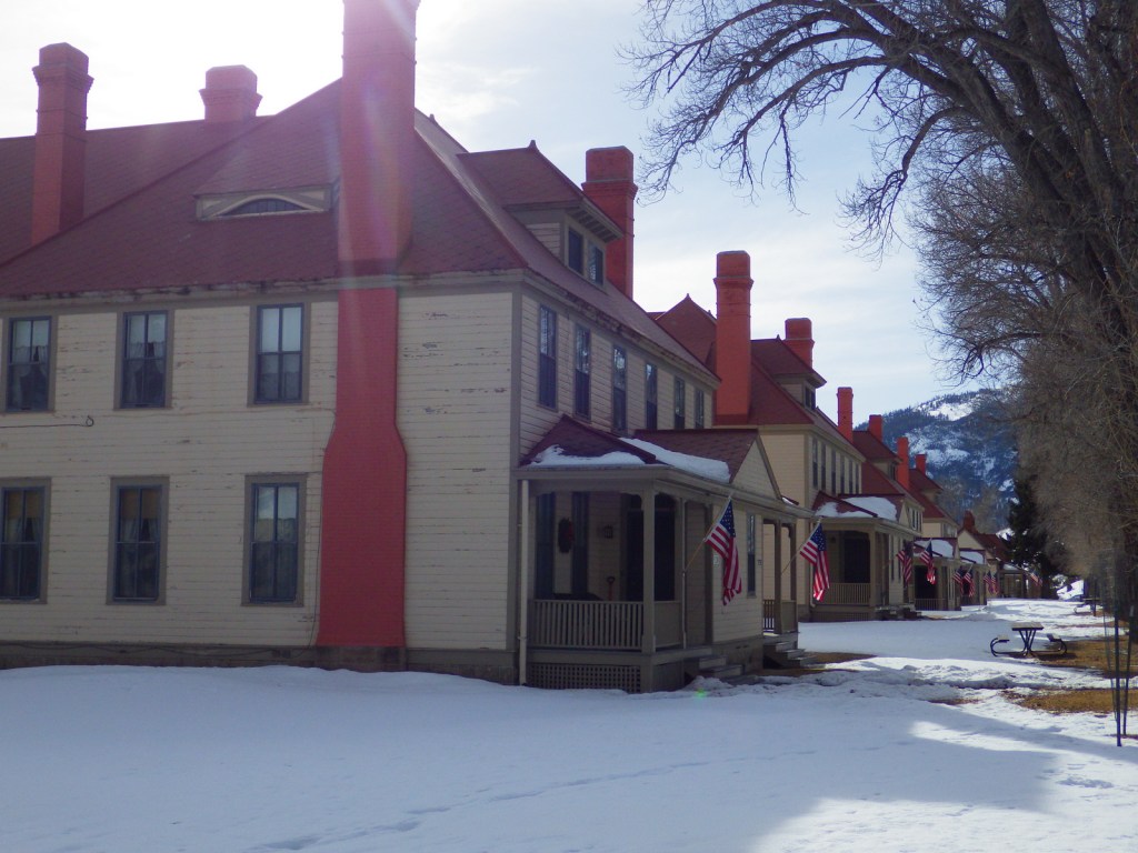
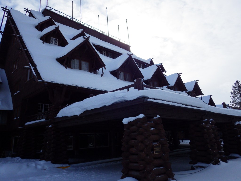
Summer, but Old Faithful Village can seem busy in the winter with all the snowmobiles during the day.
Hours
https://www.nps.gov/yell/planyourvisit/hours.htm
Fees
$35 per vehicle or America the Beautiful pass
Road Conditions
Very few roads are not paved, but the majority close for seven months in the winter.
Camping
There are many campgrounds in the park, but they fill up quickly the summer (especially at primitive Slough Creek). The surrounding National Forests offer campgrounds and dispersed sites as well. We have enjoyed backpacking at designated campsites in the park with a permit, especially in the Grand Canyon of the Yellowstone.
Related Sites
Grand Teton National Park (Wyoming)
Gallatin National Forest (Montana)
Fossil Butte National Monument (Wyoming)
Explore More – How many of the park’s 4-million annual visitors arrive in June, July, and August?

Know someone who loves National Parks? Gift them our travel guidebook A Park to Yourself: Finding Solitude in America’s 63 National Parks.