Yucca House National Monument

Overview

Yucca House National Monument was established in 1919 outside Cortez, Colorado.  It is not far from Mesa Verde National Park, which has information about the National Monument at its visitor center on Highway 160.  The 34-acre site protects an unexcavated pueblo abandoned around 1300, so there is very little to see above ground.  The fact that there is public access at all is thanks to the ranching family that allows visitors to park in what is basically their driveway.

Highlights

Unexcavated pueblo, Canyons of the Ancients National Monument visitor center

Must-Do Activity

Unless you aim to visit every unit in the National Park Service (NPS) system, you are better off spending your time taking an extra tour or hike at Mesa Verde National Park.  There are no facilities and there is not much to see at Yucca House, but there are many interesting Ancestral Puebloan ruins within nearby Canyons of the Ancients National Monument, which is run by the Bureau of Land Management (BLM).  They have a large visitor center in Dolores, Colorado where you can get directions to archaeological sites, such as Painted Hand Pueblo.

Best Trail

Sand Canyon Trail lies within Canyons of the Ancients National Monument and its southern trailhead is located just off paved County Road G.  The trail provides access to numerous archaeological sites; just remember to leave everything where you found it.

Instagram-worthy Photo

The most interesting unexcavated pueblo we have visited is Posi-Ouinge, which is accessible by a short trail from Ojo Caliente Hot Springs Resort in New Mexico.  The ground there is littered with thousands of pot shards, many with painted designs still visible.

Peak Season

Summer

Hours

https://www.nps.gov/yuho/planyourvisit/hours.htm

Fees

None

Road Conditions

The access road is well-maintained dirt.

Camping

Dispersed camping is allowed in parts of nearby Canyons of the Ancients National Monument, which is run by the BLM.

Related Sites

Mesa Verde National Park (Colorado)

Hovenweap National Monument (Utah-Colorado)

Chaco Culture National Historical Park (New Mexico)

Explore More – Why did the Bureau of Land Management change the name of their visitor center in Dolores, Colorado from Anasazi Heritage Center?

Point Reyes National Seashore

Overview

North of San Francisco, California, Point Reyes National Seashore is the only park so designated on the Pacific Coast of the U.S.  Be prepared to get wet as this piece of land located on the San Andreas Fault is frequently enveloped by a fog belt year round.  It might not be the best spot to sunbathe on the beach, but this unique seashore is a great place to watch wildlife.

Highlights

Point Reyes Lighthouse, beaches, Arch Rock, Historic Pierce Point Ranch, Tomales Bay

Must-Do Activity

The main attraction is the Point Reyes Lighthouse, where you can try to spot sea lions and gray whales on their winter migration.  It is 300 steps down to the historic lighthouse, then you have to turn around and climb back up.  Nearby Drakes Beach is off limits in the winter months when elephant seals gather there and you can watch (and listen to) them from an overlook.  The park is popular with road and mountain bikers, and well-protected Tomales Bay attracts kayakers.

Best Trail

An extensive trail system with backcountry campsites (including two near the beach) is best accessed from the Bear Valley Visitor Center.  Plus, you can always walk the 11-mile long Point Reyes Beach.

Instagram-worthy Photo

The park has a reintroduced herd of Tule elk near the Historic Pierce Point Ranch on Tomales Point.  If you visit in January, you might find a bull was waiting for his other antler to drop.

Peak Season

Summer, though the weather is pretty much the same year round.

Hours

https://www.nps.gov/pore/planyourvisit/hours.htm

Fees

None

Road Conditions

All roads paved, except a few short ones that access trailheads.

Camping

There is no campground in Point Reyes National Seashore, but there are backcountry campsites that area available with a permit (reservations available).

Related Sites

Cabrillo National Monument (California)

Golden Gate National Recreation Area (California)

Olympic National Park (Washington)

Explore More – How far did the entire Point Reyes Peninsula permanently shift during the 1906 San Francisco Earthquake?

Top 10 National Park Service Sites for Kayaking

We own a 17-foot long tandem kayak that we have taken all over the United States, including some rivers where it may have been preferable to canoe.  Some of our most memorable National Park experiences have happened while seated in our kayak.  This does not include two amazing trips through Upper Missouri River Breaks National Monument in Montana, which you can read about on our other travel blog since it is not managed by the National Park Service.  Please check out all of our Top 10 lists for more adventure ideas and book recommendations!

10. Virgin Islands Coral Reef National Monument (U.S. Virgin Islands)

There is no dry land in this Caribbean monument that borders Virgin Islands National Park.

9. Ozark National Scenic Riverways (Missouri)

Canoes are also commonly used to explore the Jack’s Fork and Current Rivers.

8. Biscayne National Park (Florida)

A kayak can get close to the mangroves since most of this park covers ocean south of Miami.

7. Voyageurs National Park (Minnesota)

Find a free lakeside campsite and fall asleep listening to loons call.

6. Congaree National Park (South Carolina)

Get up close to wildlife and baldcypress knees on Cedar Creek.

5. Lake Mead National Recreation Area (Nevada-Arizona)

Stop at Emerald Cove for photos on the way to or from Arizona Hot Springs.

4. Pictured Rocks National Lakeshore (Michigan)

The only way to see Petit Portal is from the water and a kayak is necessary to go through it.

3. Buffalo National River (Arkansas)

Canoes may be preferable to run through the Ponca Wilderness during spring runoff.

2. Everglades National Park (Florida)

The best way to see this park is from a small boat, plus by staying overnight on a chickee.

…and finally our #1 National Park for kayaking!

1. Apostle Islands National Lakeshore (Wisconsin)

Sea caves carved by the waves of Lake Superior require a small craft to explore.

Honorable Mentions

Point Reyes National Seashore (California)

Located on the San Andreas Fault, Tomales Bay is a protected spot to explore north of San Francisco.

Glacier Bay National Park and Preserve (Alaska)

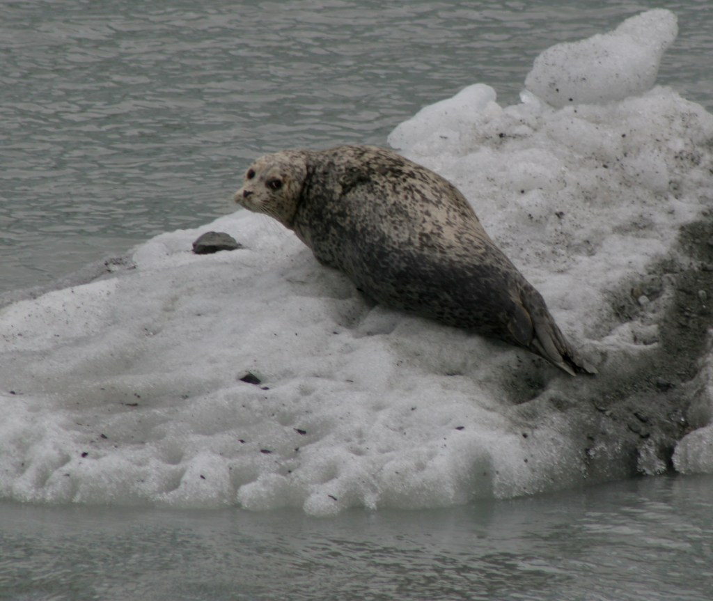
We have heard the best way to see this park is by kayak, but it sounds really cold.

Channel Islands National Park (California)

We hope someday to take a guided kayaking trip to the sea caves on Santa Cruz Island.

Big Thicket National Preserve (Texas)

Spanish moss-draped baldcypress trees line these picturesque bayous.

Big Thicket National Preserve

Overview

When most people think of Texas they do not think of the bayou, but since 1974 this unique ecosystem and eight others were preserved in several units in the southeastern portion of the state.  The Big Thicket once covered 3.5-million acres, however, now only 112,000 acres is protected by the National Park Service (NPS) in 15 remnant sections.  Here you can also discover longleaf pine savannah, saltwater estuaries, and wetlands harboring carnivorous plants.  Understandably, the region is noted for its high biodiversity, highlighted by 85 tree species, 20 orchids, and wildlife as dissimilar as alligators and roadrunners.

Highlights

Kirby Nature Trail, Pine Island Bayou, Cooks Lake Paddling Trail, Neches River, birding

Must-Do Activity

We recommend you start by learning about the nine different ecosystems within the preserve at the NPS visitor center located eight miles north of Kountze, Texas.  The best way to get to know Big Thicket National Preserve is on the water.  Motorboats are allowed in most units, but paddling is preferred for exploring the shallow bayous.  Lined with baldcypress trees, Pine Island Bayou is best explored by kayak or canoe, as is the Cooks Lake Paddling Trail (a five mile loop).  It is also possible to float the park’s 80 miles of the Neches River depending upon the amount of water released from B.A. Steinhagan Lake.

Best Trail

There are 40 miles of hiking trails, but it may be best to start with the Kirby Nature Trail near the NPS visitor center in Kountze, Texas.  Also located in the Turkey Creek Unit, the short Pitcher Plant Trail is best in the spring when the carnivorous plants bloom in the wet savanna.

Instagram-worthy Photo

Inside the NPS visitor center located eight miles north of Kountze, Texas, you can pose with a giant-sized pitcher plant model.

Peak Season

Fall and spring to avoid peak mosquito season.

Hours

https://www.nps.gov/bith/planyourvisit/hours.htm

Fees

None

Road Conditions

The main access roads are paved, but some boat launches may be dirt.

Camping

The NPS offers free backcountry permits, but the nearest campgrounds are at Village Creek State Park and B.A. Steinhagan Lake (managed by the U.S. Army Corps of Engineers).

Related Sites

Jean Lafitte National Historical Park and Preserve (Louisiana)

Big Cypress National Preserve (Florida)

Everglades National Park (Florida)

Explore More – In addition to pitcher plants, how many other carnivorous plant species are found in Big Thicket National Preserve?

Hopewell Furnace National Historic Site

Overview

In Hopewell, Pennsylvania, the proximity of iron ore, limestone, and charcoal led to this iron furnace’s success from 1771 to 1883.  It also needed water from French Creek to run the air blast machinery allowing the furnace to reach smelting temperature.  During the American Revolution, it produced cannon, shot, and shells for the Continental Navy.  The 848-acre National Historic Site was authorized in 1938, making it one of the oldest in the nation.

Highlights

Anthracite furnace, film, cast house, tenant houses, ironmaster’s mansion, Bethesda Church

Must-Do Activity

Start with the short film at the visitor center, then take the self-guided walk through the “iron plantation.”  Though the cold-blast charcoal process became outdated by 1883, the original furnace is still used each summer to produce aluminum products.  Other costumed interpreters depict village life from late June to Labor Day.  In September and October, visitors can pick 30 varieties of apples in the orchards for a small fee, similar to Capitol Reef National Park in Utah.

Best Trail

The site’s 12 miles of forested trails also connect into the neighboring French Creek State Park.

Instagram-worthy Photo

Inside the cast house, moulders cast molten iron into stove plates, cannonballs, and other products.

Peak Season

Summer and apple picking season

Hours

https://www.nps.gov/hofu/planyourvisit/hours.htm

Fees

None, but “you pick” apples cost $1 per pound

Road Conditions

Access roads are paved

Camping

French Creek State Park has more than 200 campsites with access to running water and showers.

Related Sites

Saugus Iron Works National Historic Site (Massachusetts)

Valley Forge National Historical Park (Pennsylvania)

Independence National Historical Park (Pennsylvania)

Explore More – How high of a temperature could the Hopewell Furnace reach when smelting?