Freedom Riders National Monument

Overview

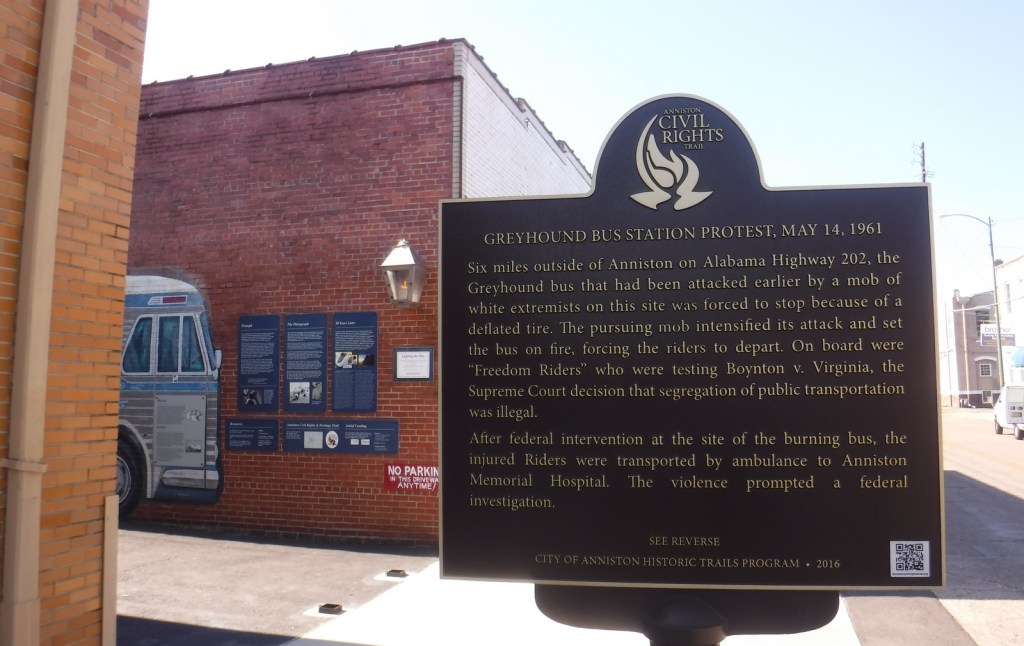
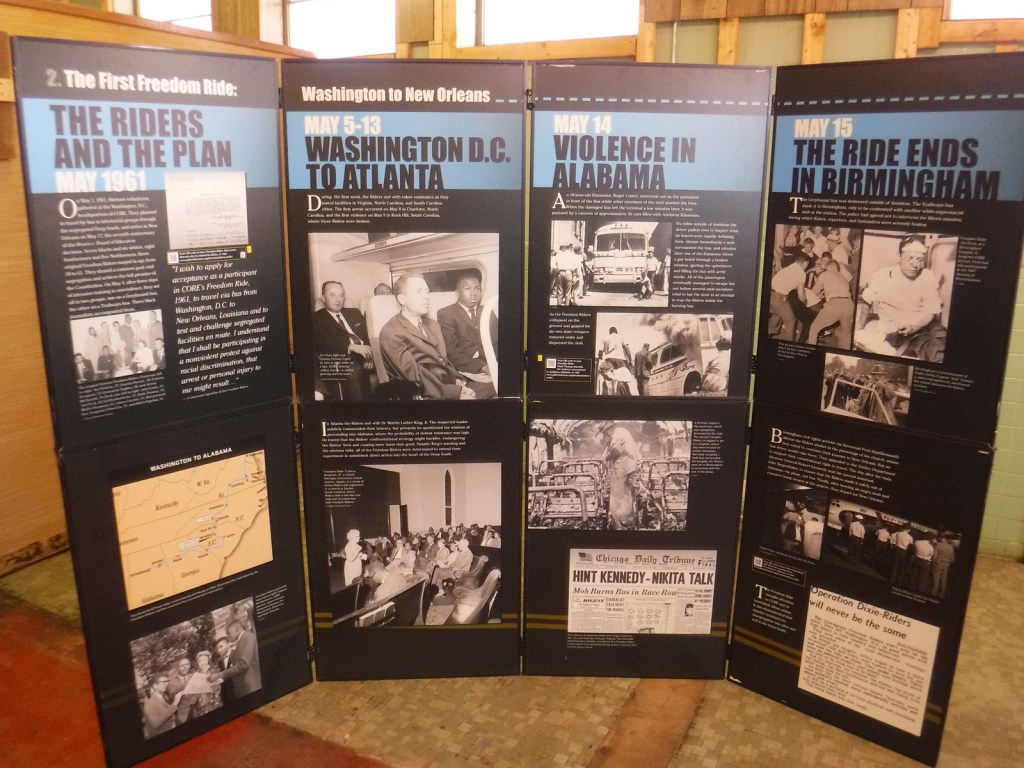
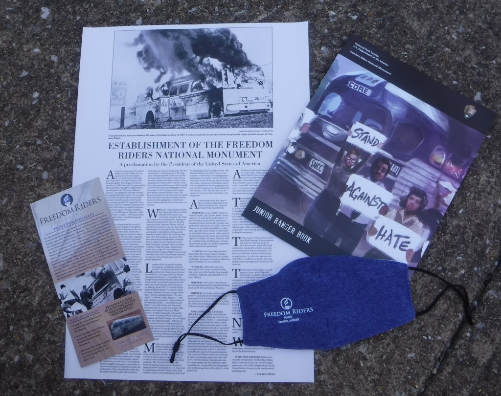
On May 4, 1961, an interracial group of “Freedom Riders” boarded two buses in Washington, D.C. bound for New Orleans to test whether southern bus stations were following the U.S. Supreme Court ruling that ended segregation in interstate travel.  On Sunday, May 14, the Greyhound bus was met by an angry mob in Anniston, Alabama that broke windows and slashed tires.  Eventually police officers cleared a path for the bus, but it was forced to stop just five miles outside town where a bundle of flaming rags caused an explosion and fire inside the vehicle.  Everyone escaped the bus although there were attempts to trap the seven Freedom Riders on board.  Joseph Postiglione’s iconic photo of the burning bus appeared in newspapers across the country, encouraging more Freedom Riders and changes to laws.

Highlights

Greyhound bus depot, Trailways bus mural, site of bus burning

Must-Do Activity

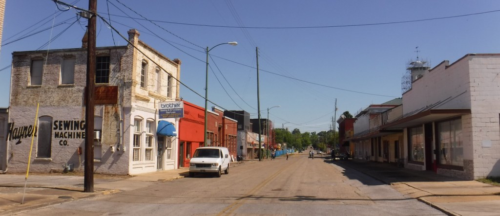
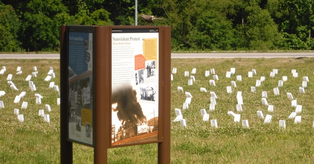
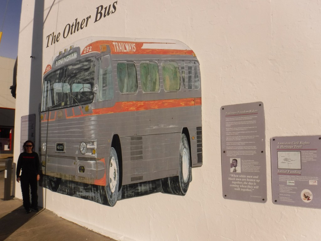
President Obama established Freedom Riders National Monument in 2017, so the park is still under development, but they do already have an outstanding Junior Ranger program.  The National Park Service (NPS) has temporary displays inside its visitor center in the historic Anniston bus station and outside is a beautiful mural of a Greyhound bus and an audio recounting of the 1961 events by Hank Thomas, a survivor.  Down the road on Highway 202, the bus burning site is currently just an informational display in a field.  We were there for the 60th anniversary events, when 400 luminaria were placed to represent the total number of Freedom Riders.  Several other murals can be found around Anniston, including a second bus at Noble and 9th Street with Charles Person’s audio description of events that took place that same day. We also recommend the excellent Freedom Rides Museum (admission charged) in Montgomery, Alabama, where similar violence took place on May 20, 1961.

Best Trail

None

Instagram-worthy Photo

In the alley next to the NPS visitor center, in front of the life-sized mural of a 1961 Greyhound bus is a lamp dedicated in August 2013 to the bravery of the Freedom Riders.

Peak Season

Spring

Hours

https://www.nps.gov/frri/planyourvisit/hours.htm

Fees

None

Road Conditions

Street parking is free outside the NPS visitor center.  To access the bus burning site, be sure to park off Old Birmingham Highway and not along the busy Highway 202 shoulder.

Camping

South of Interstate 20, campgrounds can be found in Cheaha State Park and Talladega National Forest, which also provides dispersed camping and great backpacking opportunities.

Related Sites

Birmingham Civil Rights National Monument (Alabama)

Martin Luther King, Jr., National Historical Park (Georgia)

Medgar and Myrlie Evers Home National Monument (Mississippi)

Explore More – Who was the future U.S. Congressman who took part in the 1961 Freedom Rides?

Flight 93 National Memorial

Overview

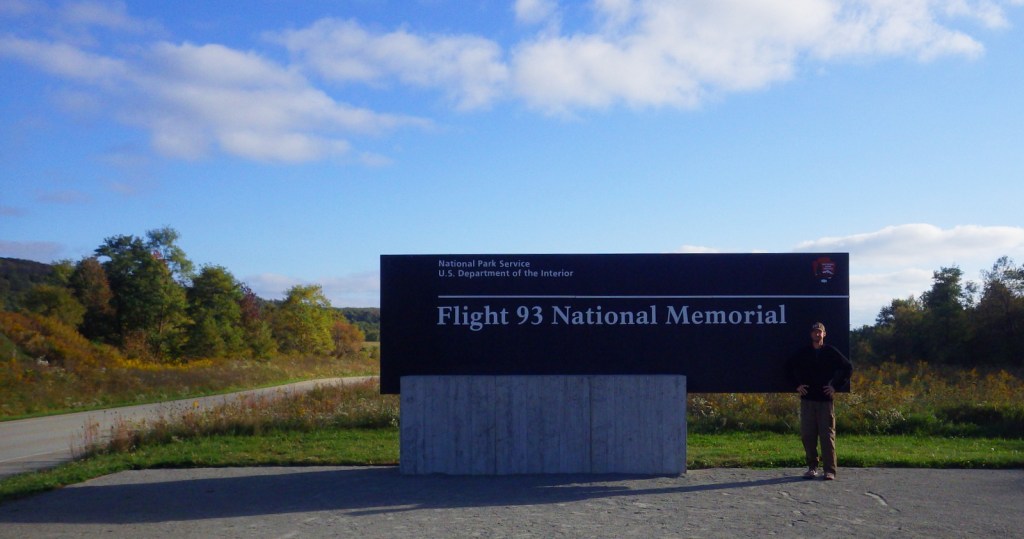
One of the most emotionally difficult places we have ever visited is the Flight 93 National Memorial in southwest Pennsylvania.  Most readers remember the details of September 11, 2001 vividly and the feelings of that day still resonate.  Thanks to the courage of the 40 passengers and crew aboard United Flight 93, the airplane crashed only 18 minutes short of its target in Washington, D.C.

Highlights

Museum, Memorial Plaza, Wall of Names

Must-Do Activity

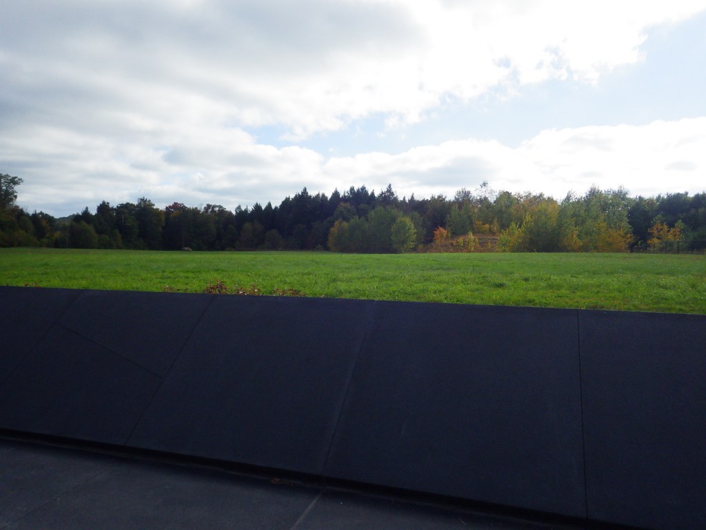
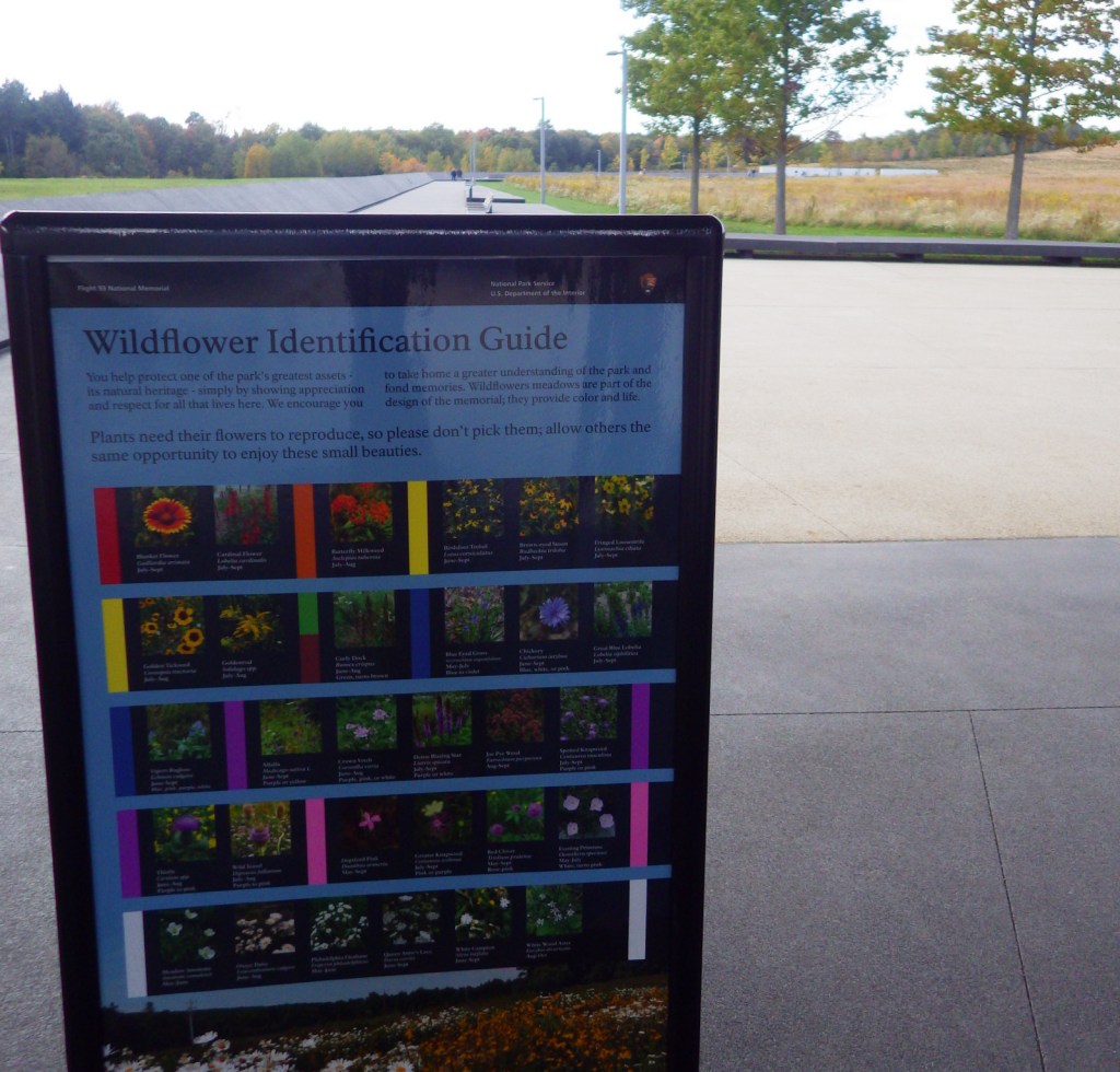
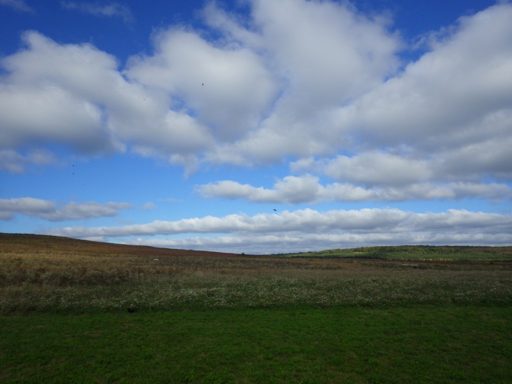
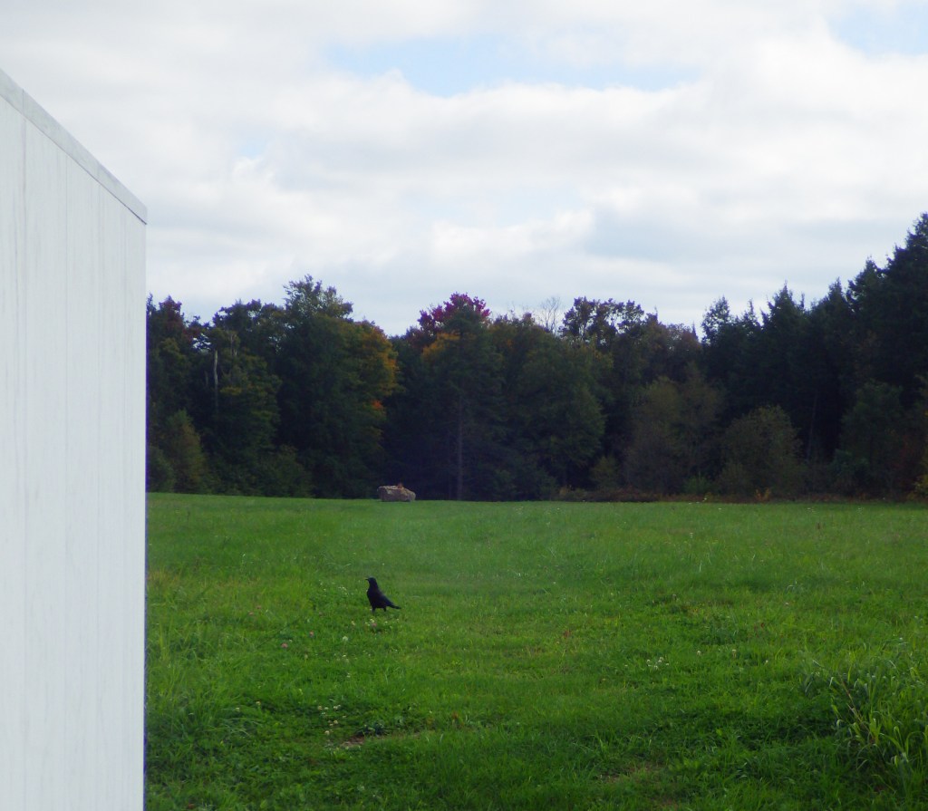
Even if you never saw the Hollywood film, the story of Flight 93 is well known.  The National Park Service (NPS) has put together a high-quality museum near the airplane crash site and the memorial itself is simple yet strong.  One wall is inscribed with this excellent quote: “A common field one day.  A field of honor forever.”  The focus is on the bravery of the 33 passengers and seven crew members that stood up to the four hijackers that tragic morning.  Since it is essentially a mass grave, the actual crash site is off limits except to family members of the victims, but it is marked by a large boulder visible from the Memorial Plaza.  We left after our visit feeling both saddened and empowered.

Best Trail

An allée (formal walkway) leads from the NPS visitor center past the 40 Memorial Groves of trees (planted in 2012) to the Memorial Plaza and the Wall of Names.  You can also drive to the parking lot at the visitor shelter next to the Memorial Plaza.

Instagram-worthy Photo

The names of the Flight 93 passengers and crew are on the 40 marble panels of the Wall of Names (the NPS visitor center is visible in the background).

Peak Season

Summer and the September anniversary

Hours

https://www.nps.gov/flni/planyourvisit/hours.htm

Fees

None

Road Conditions

All roads paved

Camping

We camped on state forest land near Stoystown, Pennsylvania.

Related Sites

Johnstown Flood National Memorial (Pennsylvania)

Fort Necessity National Battlefield (Pennsylvania)

Gettysburg National Military Park (Pennsylvania)

Explore More – Where was the United Airlines flight from Newark, New Jersey bound for on September 11, 2001?

Top 20 National Park Service sites for Photography

The National Park Service (NPS) manages some of the most photogenic places on the planet, so this was our hardest Top 10 List to choose.  Instead, for the first time we ranked the top 20!  We will be separately ranking the top 20 of the 63 National Parks for photography, since we had a difficult time even paring that list down.  Imagine how hard it was to choose from the other 360 NPS sites. Click here to see all of our Top 10 Lists.

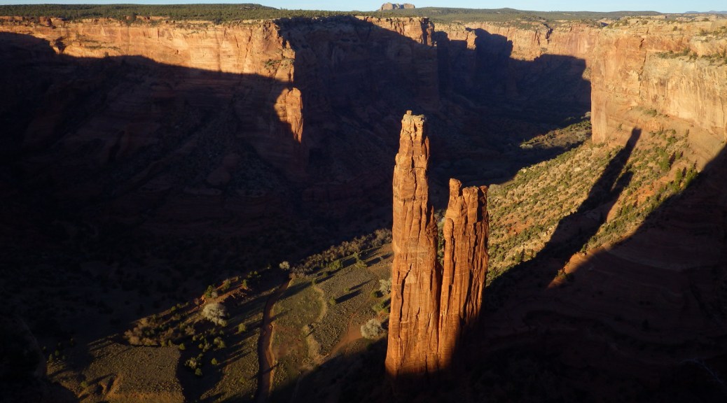
10. Canyon de Chelly National Monument (Arizona)

Spider Rock alone would make it worth the trip, but ruins and petroglyphs add to its splendor

9. Christiansted National Historic Site (U.S. Virgin Islands)

Yellow paint makes the architecture pop at this Caribbean seaside fort

8. Apostle Islands National Lakeshore (Wisconsin)

Sea caves and numerous lighthouses are found on the shores of Lake Superior

7. Devils Postpile National Monument (California)

The hexagonal posts are neat and Rainbow Falls is stunning

6. Chiricahua National Monument (Arizona)

Fantastic rock formations abound, including one in the shape of a rubber duck

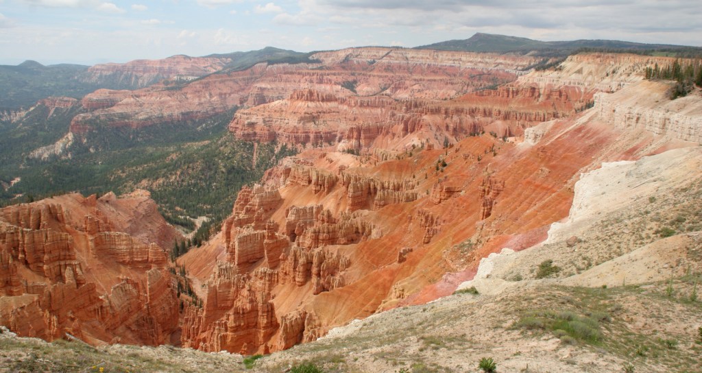
5. Cedar Breaks National Monument (Utah)

A mini-Bryce Canyon National Park with gnarly Great Basin bristlecone pine trees

4. Lake Mead National Recreation Area (Nevada-Arizona)

The Hoover Dam, Redstone Trail, Emerald Cove, Sauna Cave, and Pat Tillman Memorial Bridge!

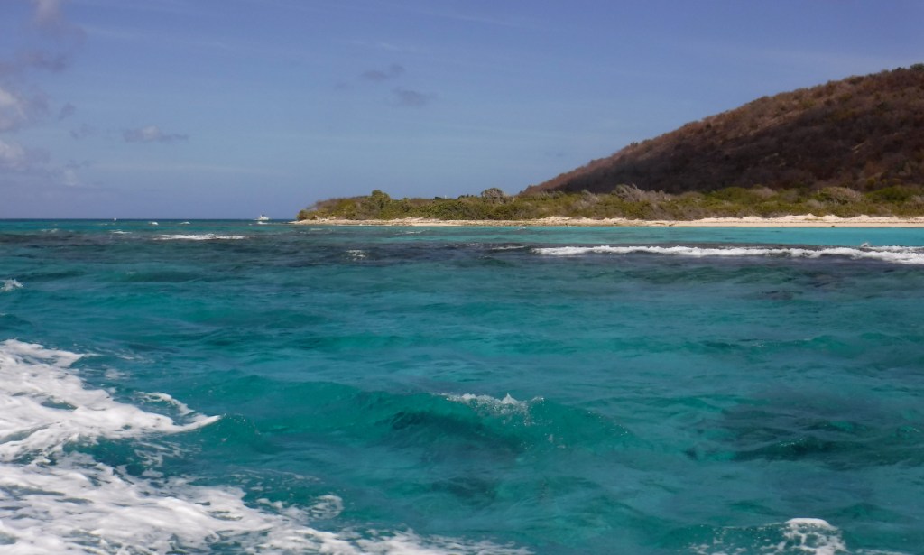
3. Buck Island National Monument (U.S. Virgin Islands)

Incredibly clear water and a healthy coral reef make this the best place for an underwater camera

2. John Day Fossil Beds National Monument (Oregon)

The Painted Hills’ surreal colors are Instagram-worthy, but so is the blue soil at Blue Basin

…and finally the #1 NPS site for Photography:

1. Chaco National Historical Park (New Mexico)

High walls of these Ancestral Puebloan ruins are still standing, plus watch for elk, lizards, and ravens

The Next 10

11. Pictured Rocks National Lakeshore (Michigan)

12. City of Rocks National Reserve (Idaho)

13. Lowell National Historical Park (Massachusetts)

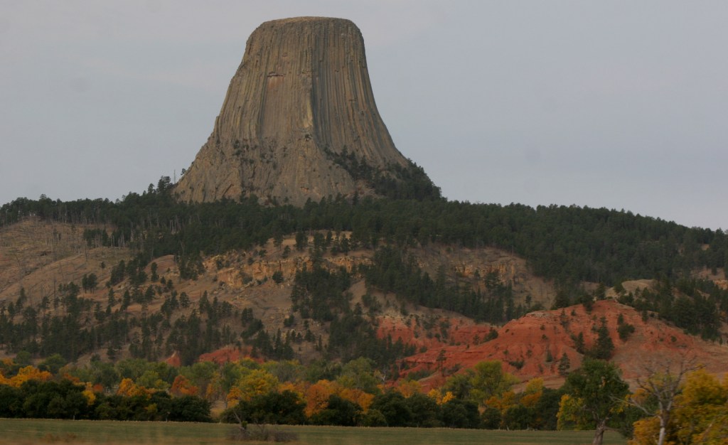
14. Devils Tower National Monument (Wyoming)

15. Bent’s Old Fort National Historic Site (Colorado)

16. National Mall (District of Columbia)

17. Fort Davis National Historic Site (Texas)

18. Point Reyes National Seashore (California)

19. Oregon Caves National Monument and Preserve (Oregon)

20. (tie) Cape Hatteras and Cape Lookout National Seashores (North Carolina)

Canyon de Chelly National Monument

Canyon de Chelly National Monument

Arizona

Managed by National Park Service

Established 1931

83,840 acres

Website: nps.gov/cach

Overview

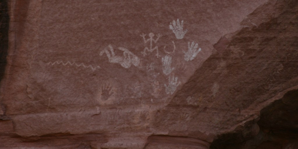
In the heart of the Navajo Nation in northeast Arizona lies Canyon de Chelly National Monument.  Humans have inhabited this area for 4,500 years, leaving behind numerous pictographs and the dramatic ruins of Ancestral Puebloan cliff dwellings.  The Navajo arrived in this region around AD1700 with sheep they gained from Spanish colonists which they utilized to weave intricate wool blankets.  Wars with the Utes, Spanish, Mexicans, and then U.S. government eventually led to their forced migration (“The Long Walk”) to Bosque Redondo in New Mexico around 1864.

Know someone who loves exploring new National Monuments? Gift them our book Monumental America: Your Guide to All 138 National Monuments that is available for sale on Amazon.com.
Highlights

Spider Rock Overlook, White House Ruin, guided vehicle tours, horseback tours

Must-Do Activity

Four years after being forced to the uninhabitable Bosque Redondo, the Navajo were granted the largest reservation in the country and families still inhabit Canyon de Chelly (pronounced “d’shay”) to this day.  The 84,000-acre National Monument is administered cooperatively with the National Park Service (NPS).  However, entrance into the canyon is limited to guided trips and one publicly accessible trail that drops 500 feet to White House Ruin.  Overlooks along the North and South Rim Drives (17 and 18 miles respectively) are free and open year-round, though.  It not only seems like everything runs on a different clock here, but, unlike the rest of Arizona (and now New Mexico), the Navajo Nation observes Daylight Savings Time, so is always an hour later in the summer months (the same time as New Mexico until the fall).

Best Trail

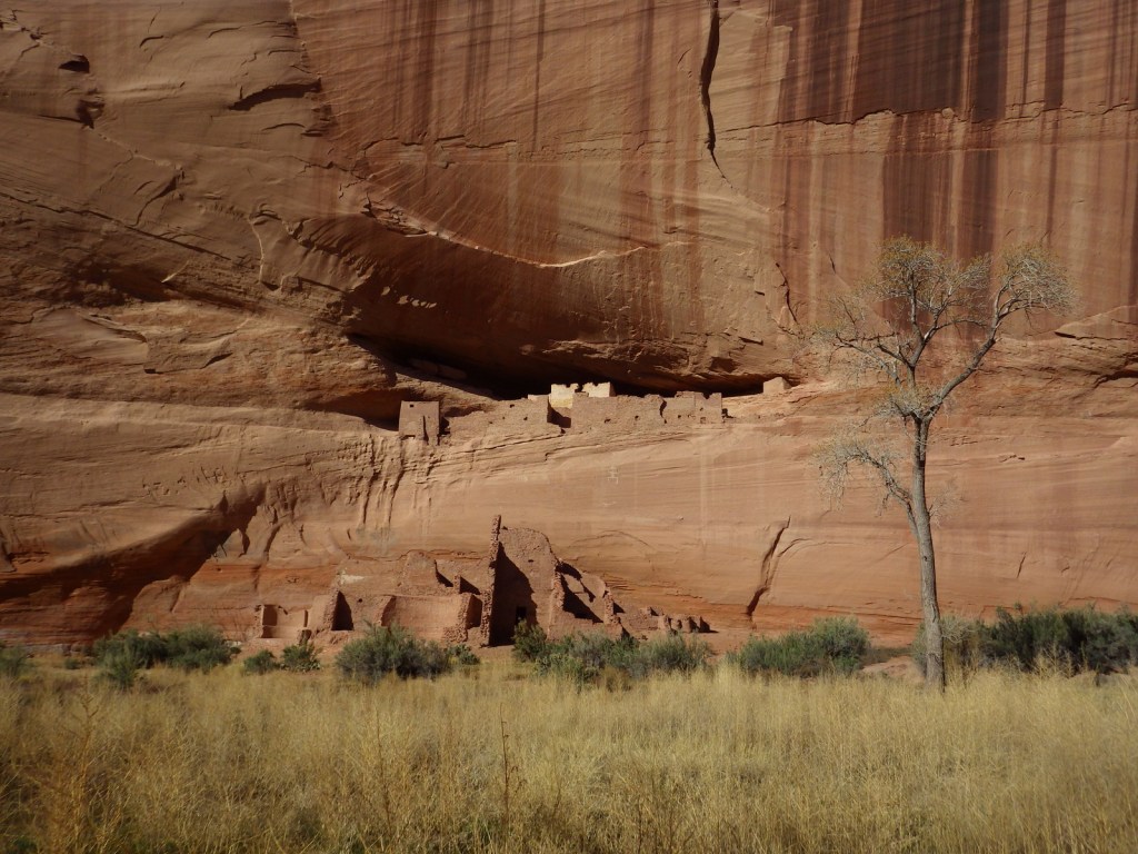
White House Ruin was inhabited AD1060-1275 and is named for the white plaster used to coat the wall in the upper dwelling.  The 2.5-mile roundtrip White House Trail drops down the canyon wall and cuts through a tunnel.

Instagram-worthy Photo

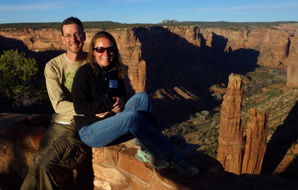
At the end of South Rim Drive is 800-foot tall Spider Rock, a great spot to watch the sun set, which is an ideal time to photograph the canyon’s red sandstone walls.

Peak Season

Summer

Hours

https://www.nps.gov/cach/planyourvisit/hours.htm

Note that there is typically a time difference because Arizona and New Mexico do not observe Daylight Savings Time.

Fees

There is no entrance fee for the North and South Rim Drives, but guided tours into the canyon do charge admission.

Road Conditions

All roads open to the public are paved, but guided tours can be very bumpy since they use the canyon bottom as a road.

Camping

The NPS runs Cottonwood Campground with 96 spaces (and running water in the summer) in a grove of Fremont cottonwood trees that turn yellow in the late autumn.  Guided camping trips in the canyon are also available.

Related Sites

Grand Canyon National Park (Arizona)

Navajo National Monument (Arizona)

Hubbell Trading Post National Historic Site (Arizona)

Explore More – How many millions of years ago did sand dunes turn into Canyon de Chelly’s red sandstone?
Learn more about the other 137 National Monuments in our book Monumental America: Your Guide to All 138 National Monuments

Bighorn Canyon National Recreation Area

Overview

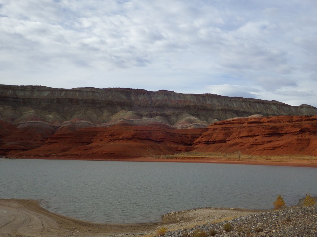
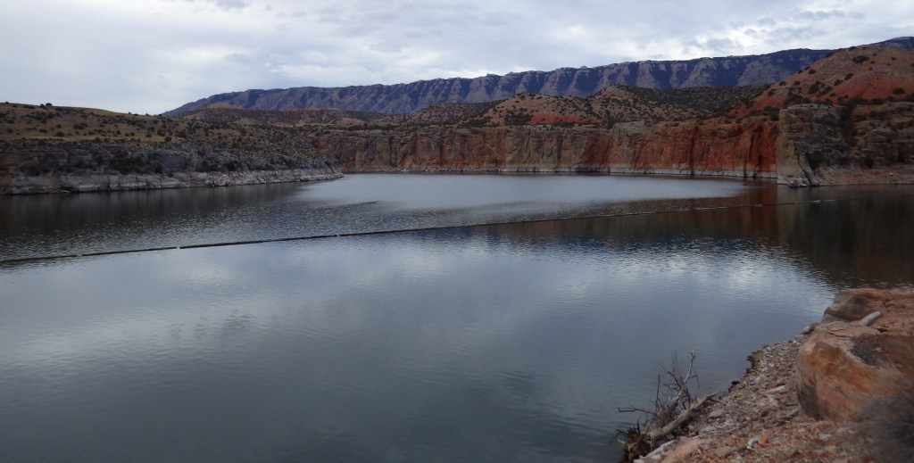
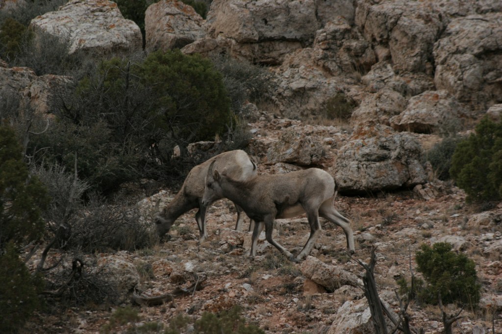
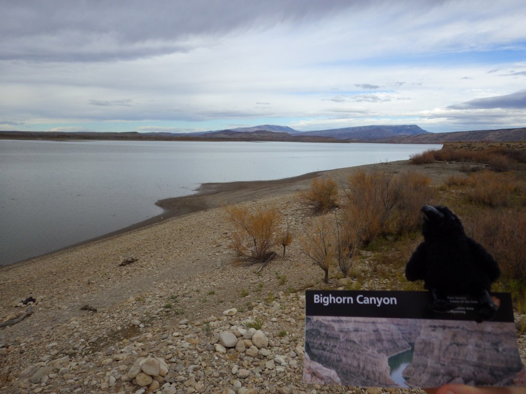
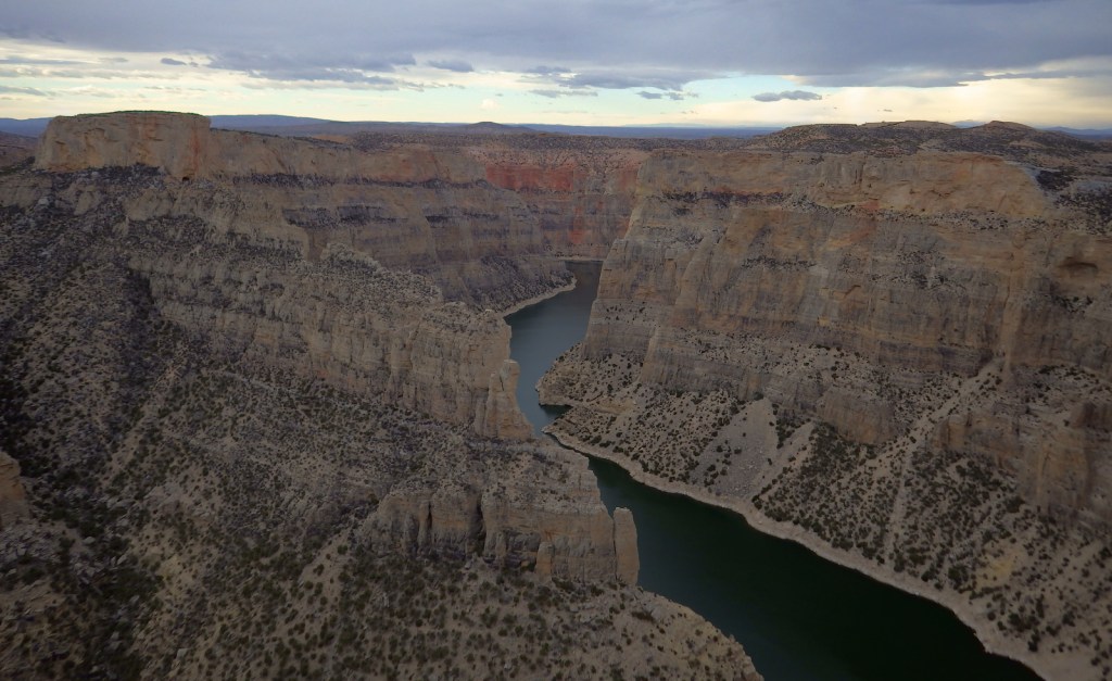
Bighorn Canyon National Recreation Area is an underappreciated gem in the National Park Service (NPS) system.  It has gorgeous scenery, a winding reservoir, and abundant wildlife, including bighorn sheep and wild horses.  The 525-foot tall Yellowtail Dam was completed in 1968, creating a 71-mile long reservoir, the majority of which is in narrow Bighorn Canyon where cliffs soar up to 2,000 feet above the water.

Highlights

Devil Canyon Overlook, Hillsboro Dude Ranch, Horseshoe Bend, Yellowtail Dam

Must-Do Activity

No road connects the north and south portion of the park, making for a long drive between the NPS visitor center in Lovell, Wyoming and the one at the Yellowtail Dam in Montana.  Thus, it is best to choose either one side or the other and explore the canyon by boat.  Devil Canyon Overlook and most of the 27 miles of hiking trails are in the southern section.  This is also where the Pryor Mountain Wild Horse Range enters into Bighorn Canyon National Recreation Area.  In the summer there are lifeguards at the designated swimming areas at Horseshoe Bend and Ok-A-Beh.

Best Trail

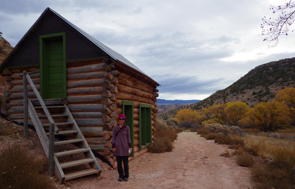
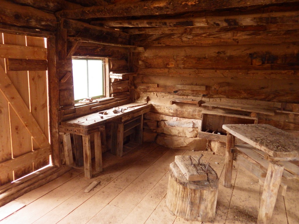
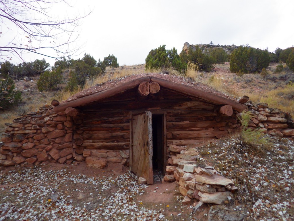
The southern portion of Bighorn Canyon National Recreation Area has trails to historic sites like Hillsboro Dude Ranch and several tipi rings found along Bad Pass Trail, a route which has seen over 10,000 years of human use.

Instagram-worthy Photo

If you are unable to get out on the water, the highlight of the park is Devil Canyon Overlook where the cliffs drop over 1,000 feet straight down to the lake.

Peak Season

Summer

Hours

https://www.nps.gov/bica/planyourvisit/hours.htm

Fees

None

Road Conditions

Almost every road is paved, but they are narrow and winding so may not be advisable for very long RVs.

Camping

There are drive-in campgrounds (fee) in both states, as well as free boat-in campgrounds on the Montana side.  Backcountry camping is allowed below the highwater mark of Bighorn Lake.

Related Sites

Little Bighorn Battlefield National Monument (Montana)

Devils Tower National Monument (Wyoming)

Jewel Cave National Monument (South Dakota)

Explore More – The Yellowtail Dam is named after whom?