Overview
This Santa Fe Trail fort was only active from 1860 to 1878, but after becoming private property it continued to function as a working ranch which explains why it is in such good shape today. Costumed re-enactors are really what make this National Park Service (NPS) site special, though, from the blacksmith to the schoolteacher to the commissar to the officers’ wives. They love to share stories of this extraordinary place. Surrounded by open fields, it is easy to feel like you are 150 years in the past while touring the grounds.

Highlights
Museum, film, commissary, officers’ quarters, barracks, reconstructed blockhouse
Must-Do Activity
As we walked across the bridge over the Pawnee River towards Fort Larned on a foggy Memorial Day morning, we watched a horse-drawn carriage heading that way, too. Much to our surprise, the driver (a volunteer) stopped to ask if we would like to hop in for a ride. Passing through the fog, it was like being carried back in time. To learn more history, head to the Santa Fe Trail Center in the town of Larned, Kansas.
Best Trail
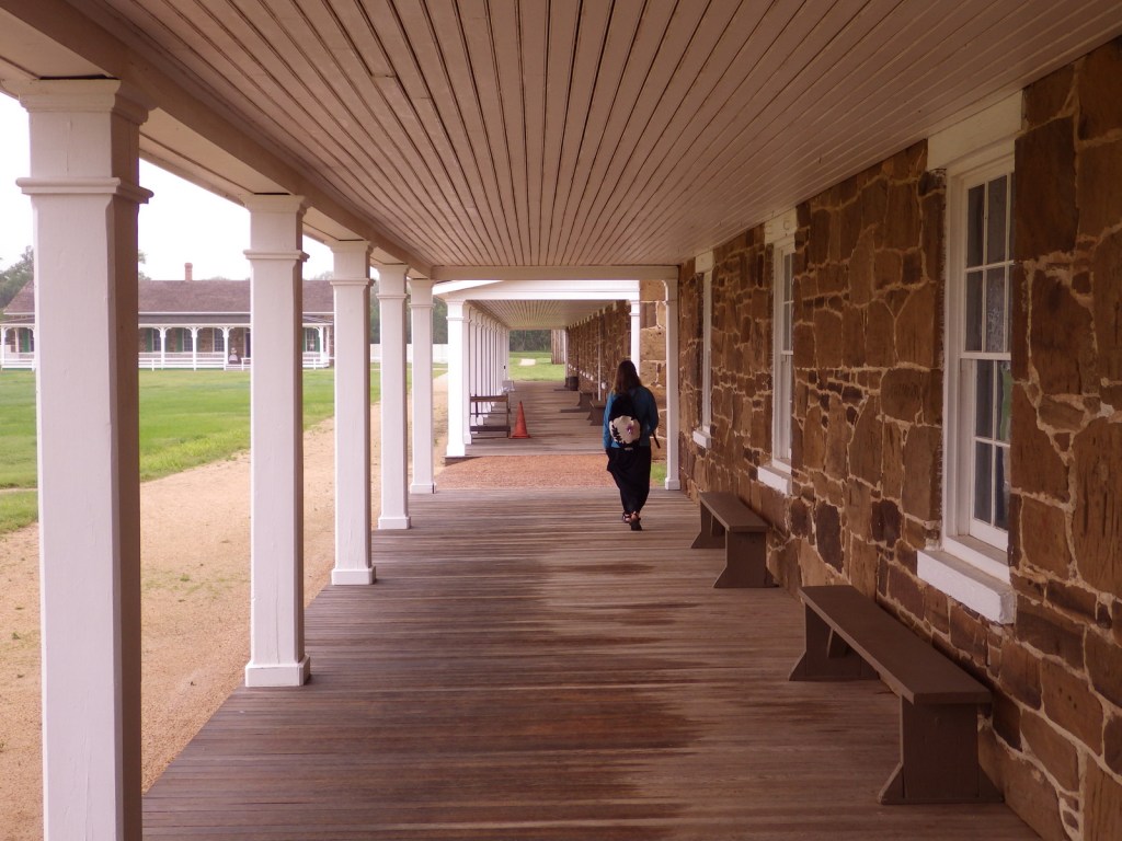
The parking area is a short walk from the fort, then a self-guided trail (brochure available at the NPS visitor center) leads to stops around the 718-acre site.
Instagram-worthy Photo
Two soldier re-enactors looked ghostly in the glass while watching the blacksmith work his magic.

Peak Season
Summer
Hours
https://www.nps.gov/fola/planyourvisit/hours.htm
Fees
None
Road Conditions
The access road to the main site is paved, but to visit the Santa Fe Trail Ruts Area requires driving an unpaved county road.
Camping
There is a private campground in Larned, Kansas, plus Kansas has a good State Parks system.
Related Sites
Fort Scott National Historic Site (Kansas)
Bent’s Old Fort National Historic Site (Colorado)
Fort Union National Monument (New Mexico)


We got a free carriage ride from a volunteer! 
Carriage selfie 

Bunkhouse 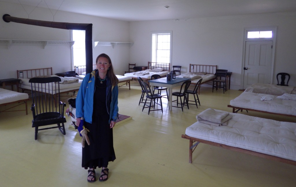
Tiff in the hospital 
Blockhouse 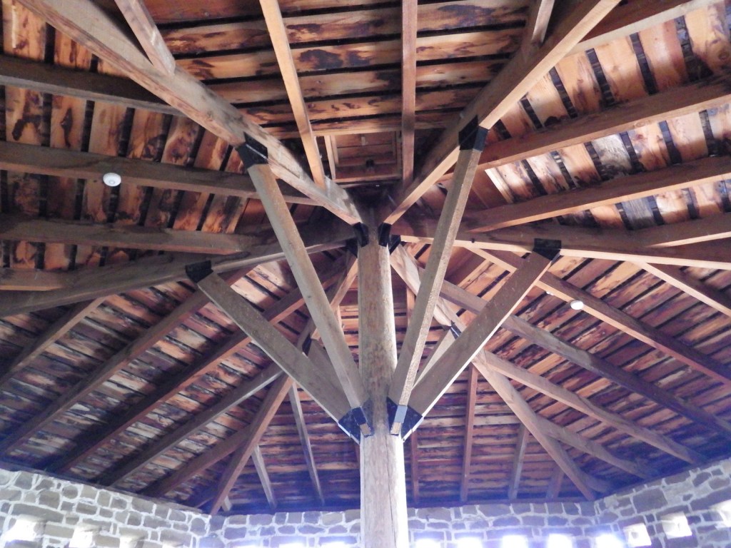
Inside the blockhouse 
Passage underneath the blockhouse 

Explore More – For whom is Fort Larned named?