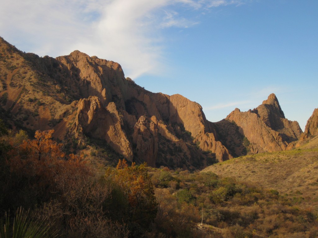
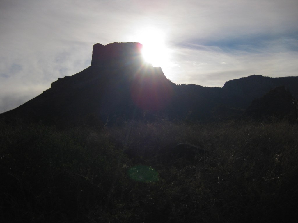
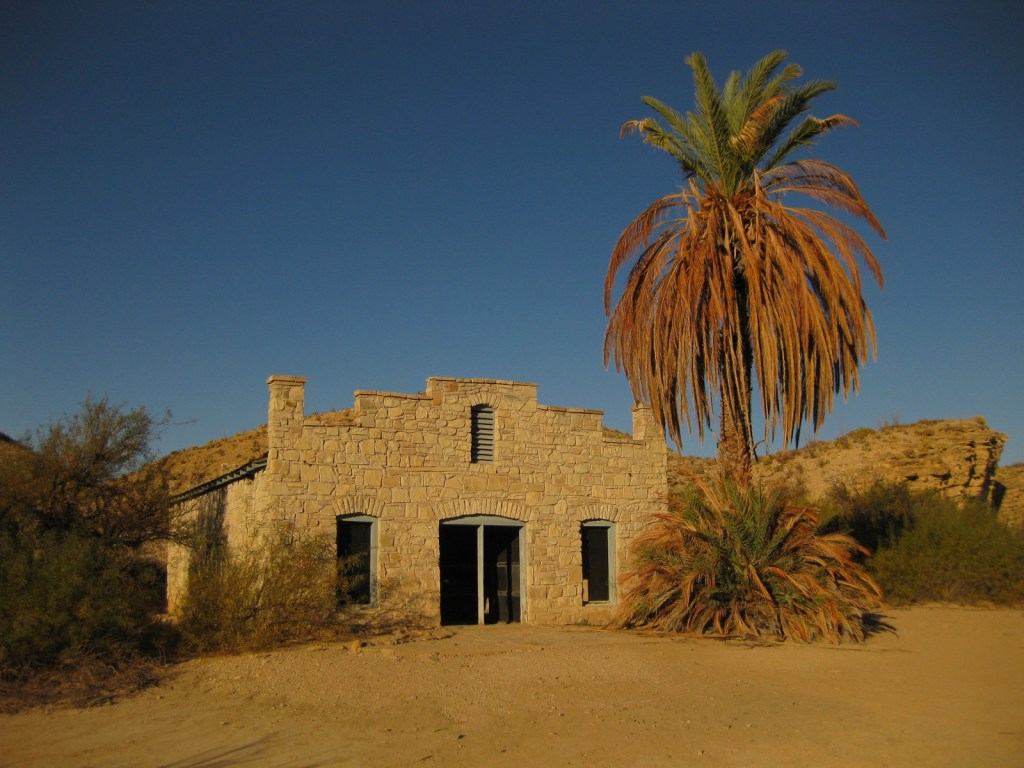
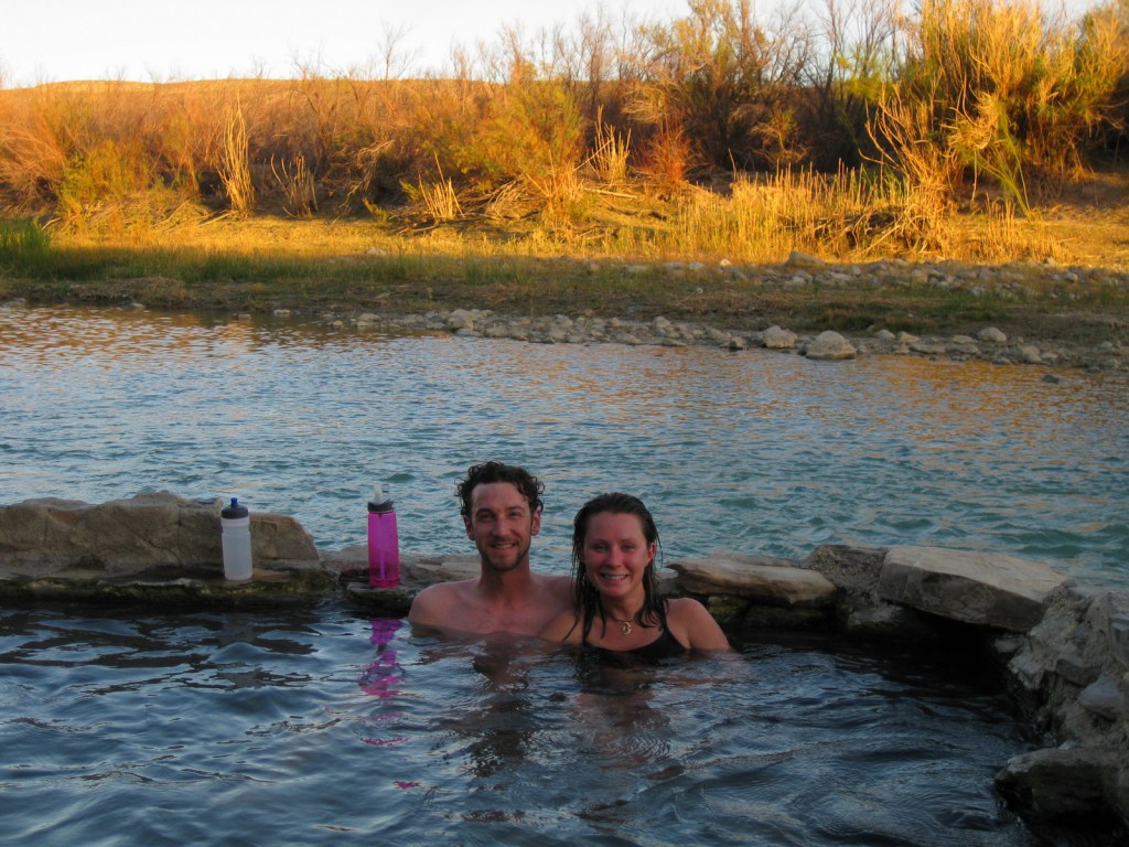
Located in western North Dakota, Theodore Roosevelt National Park is where Teddy came in 1883 to become a cattle rancher prior to his political career. The park is divided into a North and South Unit (in different Time Zones), each with impressive vistas and wildlife. It is home to a demonstration herd of longhorn steers and free-ranging wild horses, plus reintroduced bison, bighorn sheep, and elk.
Teddy Roosevelt’s Maltese Cross cabin was relocated to the park’s South Unit visitor center, which is easily accessible off Interstate 94, as is the Painted Canyon Overlook and trail. A portion of the 36-mile paved scenic loop road is closed indefinitely due to melting from a decades long underground coal fire.
Best Trail
Wind Canyon Loop Trail in the South Unit is less than half a mile in length but offers an opportunity to walk on the eroding slopes of the badlands and an excellent vista of the Little Missouri River. We have also backpacked on the North Petrified Forest Trail, where we woke up near a sleeping bison bull (see photo below).
Instagram-worthy Photo
Cannonball concretions are sandstone spheres formed by groundwater and can be seen only in the North Unit badlands.
The scenic drives are paved, and the gravel roads in the park are good enough for a passenger vehicle when dry, including the 60 mile drive to Elkhorn Ranch.
Camping
There are large campgrounds in both the North and South Unit.
Bison can be seen in both the North and South Unit of the parkScott in the petrified forestPetrified woodTiff on the North Petrified Forest TrailWe woke up and saw this bison too close to our tent so we quietly left and came back later to pack up
This design we created to celebrate Theodore Roosevelt National Park is available on a variety of products at Cafe Press and Amazon.
Explore More – The death of which two important women in his life led Roosevelt to flee New York for North Dakota in 1884?
We are a participant in the Amazon Services LLC Associates Program, an affiliate advertising program designed to provide a means for us to earn fees by linking to Amazon.com and affiliated sites.
There are no roads in North Carolina’s Cape Lookout National Seashore, but vehicles can drive the beach nearly the entire 56-mile length of these Outer Banks barrier islands. A passenger ferry leaves from Beaufort, North Carolina to access the Shackleford Banks where feral horses reside. Cape Lookout is on the South Core Banks, a great spot for camping, surf fishing, kite flying, and beachcombing. This island is accessible aboard a passenger ferry from Harkers Island and a vehicle ferry from Davis.
If you enjoy beach camping, then you must spend at least one night on the islands. Go beachcombing in the morning after watching the sunrise light up Cape Lookout Lighthouse.
Best Trail
There are boardwalks around the ferry landing and lighthouse, otherwise just walk the beaches.
Instagram-worthy Photo
The majestic 163-foot tall Cape Lookout Lighthouse (wearing argyle) is the icon of this national seashore and looks best at sunset and sunrise.
Find this photo and many others for sale on Imagekind.
Free to visit and camp, $16 roundtrip per adult for passenger ferry, sometimes a charge to climb to the top of the lighthouse
Road Conditions
Paved to the ferry docks in Beaufort and Harkers Island, sandy on outer islands (4×4 required)
Camping
Camping is free on the beaches, but unless you have your own boat you will need to pay for a ferry ride out there. The oceanfront section of beach near Cape Lookout Lighthouse is closed to vehicles, making it perfect for backpackers.
Seashell hunting out here is great; and yes, the National Park Service allows you to take a reasonable amount home.
Explore More – When was the Cape Lookout Lighthouse built?
After FDR protected this very first historic site within the National Park Service (NPS) system in 1935, Fort Stanwix was finally reconstructed in the 1970s after demolishing the existing buildings in downtown Rome, New York. Visitors today will surely agree it was worth the effort, as were the recent updates in the excellent Visitor Center.
Highlights
Reconstructed fort, best historical museum in the NPS System
Must-Do Activity
The NPS museum inside the Marinus Willett Visitor Center is superb with videos and kiosks providing four different characters’ perspectives on the events of the American Revolution in Upstate New York. There are also costumed reenactors inside the fort, another reason why this National Monument is an example of historical interpretation at its best.
Best Trail
A short trail follows a portion of the Oneida Carrying Place and another leads to the historic Erie Canal.
Instagram-worthy Photo
Viewed from the drawbridge, you get an up-close look at the parapet and fraise (sharpened wooden stakes) of the reconstructed Fort Stanwix.
The only thing that is nearly as fun as being in a National Park is reading about one. Here is a list of our 10 favorite non-fiction books set specifically in one unit of the National Park Service system. Our next list will include those that cover multiple parks.
There are many great books written about this oldest of all National Parks (including the bestselling Death in Yellowstone), but none is as funny as the one written by this globetrotting travel writer.
Wildlife biologist Adolph Murie was invited to Alaska by the National Park Service in 1939-40 to study the diverse species inhabiting Mt. McKinley National Park (as it was known at the time).
Also on our Top 10 Non-Fiction Books on Wildlife, this is one of the best books about bears ever written, it dispels myths based on a lifetime of close observation in Alaska.
Whoever said scientists can’t have any fun conducting research needs to read this exciting book about the ecologists that climb 300 feet up redwood trees in California.
Many National Park Rangers have written memoirs, but this is by far the best one. Written about a time before the red rock wonderland around Moab, Utah became the zoo it is today.
The journal of Richard Proenneke who homesteaded a remote part of the Alaska Peninsula before Lake Clark National Park and Preserve was created around it in 1980. There is also an excellent documentary of the same title.
An epic combination of history and biography about the men and women who run the Colorado River through Arizona’s Grand Canyon (which was the setting for the author’s 2024 work A Walk in the Park)
…and finally our number one Non-Fiction Book Set in a National Park:
The last frontier may well be beneath our feet. This true adventure of cave exploration is written in a very matter-of-fact way, yet is still a page turner.
The Appalachian Trail is counted as one of the 430+ units in the National Park Service System, and this is the funniest book ever written about backpacking it (or part of it).
One of 13 national monuments in New Mexico, this archaeological site is located in a beautiful forested canyon at 6,000 feet elevation outside Los Alamos. Ancestral Puebloans inhabited Frijoles Canyon from AD 1150 to 1550, building villages and carving rooms out of the soft volcanic tuff, much like in Cappadocia, Turkey.
Highlights
Ruins, cavates, Alcove House, Upper Falls, Painted Cave
Must-Do Activity
Climb 140 feet up ladders and steep steps to Alcove House cliff dwelling for superlative views of the canyon.
Best Trail
After exploring the ruins, be sure to hike 1.5 miles to Upper Falls downstream from the visitor center.
Instagram-worthy Photo
The National Park Service has installed some awesome, authentic-looking ladders to access the cavates.
Peak Season
Summer when a shuttle is required from Los Alamos, New Mexico due to limited parking
Paved, but visitors are required to take a shuttle from Los Alamos between 9 a.m. and 3 p.m. in the summer (May 17 – October 17)
Camping
Juniper Campground has 94 sites, running water, and is open most of the year. Its 70 miles of trails also make the park popular for backpacking, which requires a zoned camping permit.
Scott inside a cavate
Tiff inside a cavate
The tuff looks like Swiss cheese; maybe that’s what attracted Swiss anthropologist Adolph Bandelier.
Upper Falls is only a 1.5 mile hike downstream from the visitor center
Explore More – When did the giant volcano erupt that created the 16-mile wide Valles Caldera and deposited hundreds of feet of volcanic ash that formed tuff?